
2023 is the Year of the Trail in NC, and we’re extending our trail hiking experiences into February! We’re starting with a handful of varied trails that are good to enjoy in winter due to easy access. So read along below, and see what we’ve been up to in February.
Middle Fork Greenway: Sterling Creek Park
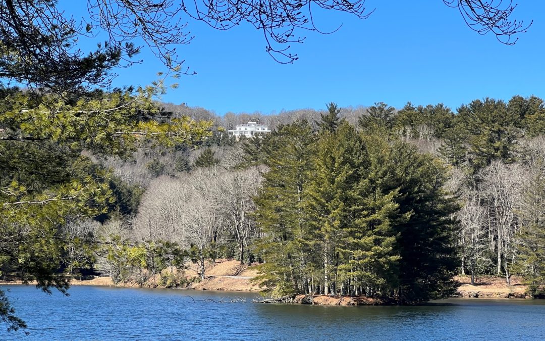
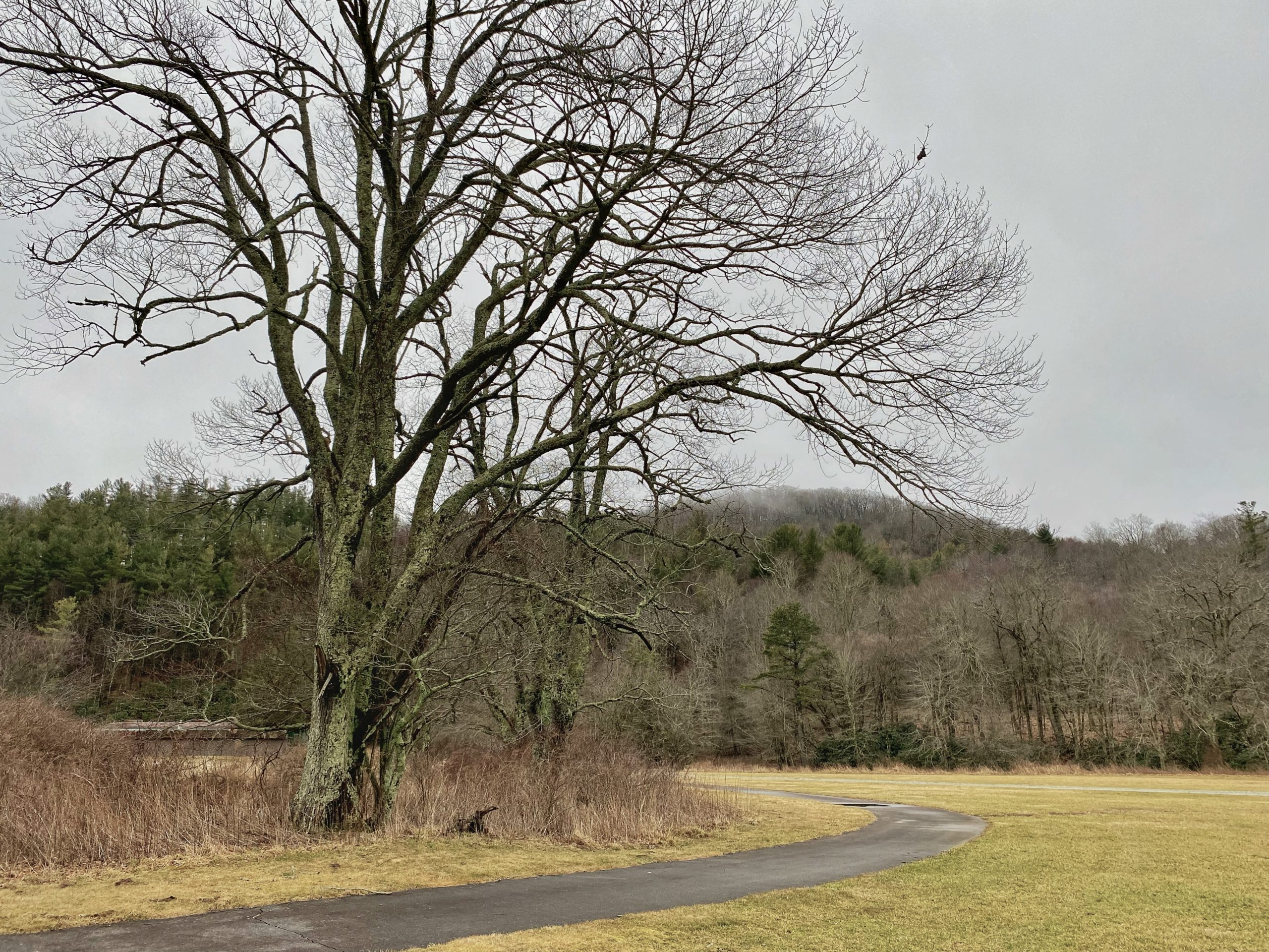
This portion of the Middle Fork Greenway connects Tweetsie Railroad, Mystery Hill, and Sterling Creek Park. It is an easily accessed trail that allows for walking and biking. It is located 3.3 miles from Downtown Blowing Rock. The surface is paved so hiking boots are not required. There are great spots to fish and awesome views of Tweetsie and Mystery Hill as the trail runs right by them. Sterling Creek Park is full of cute bird houses and has a couple picnic tables for rest and dining. The Middle Fork of the New River runs right by the park making it a picturesque place to stop and rest or have a picnic. There is a culvert that runs under 321 on this trail and it is quite dark so bring a flashlight or use the flashlight on your phone during this portion. Please be aware that the trail can be wet and may become icy during the right weather conditions so use caution. We’re very excited about the nearing completion of the Middle Fork Greenway, which will connect Blowing Rock to Boone!
Trail Length: 1 mile – 2 miles in and out
Difficulty: Easy
Surface: Paved
Trail Use: No motorized vehicles allowed, leashed dogs ok
Blaze: N/A
Getting There:
Turn right onto Whitener Mountain Road diagonally across Hwy 321 from Mystery Hill. After the turn, immediately take a sharp right turn down to the small gravel parking lot to the right that provides spaces for 4 vehicles.
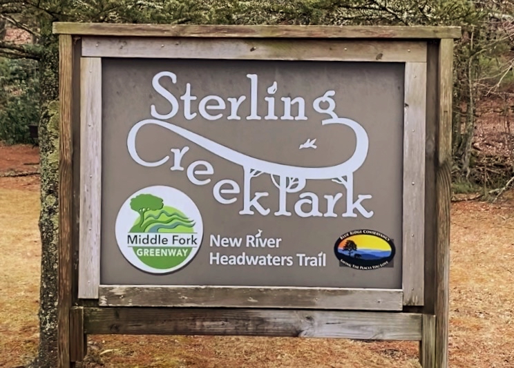
Sterling Creek Park Sign

Middle Fork Greenway
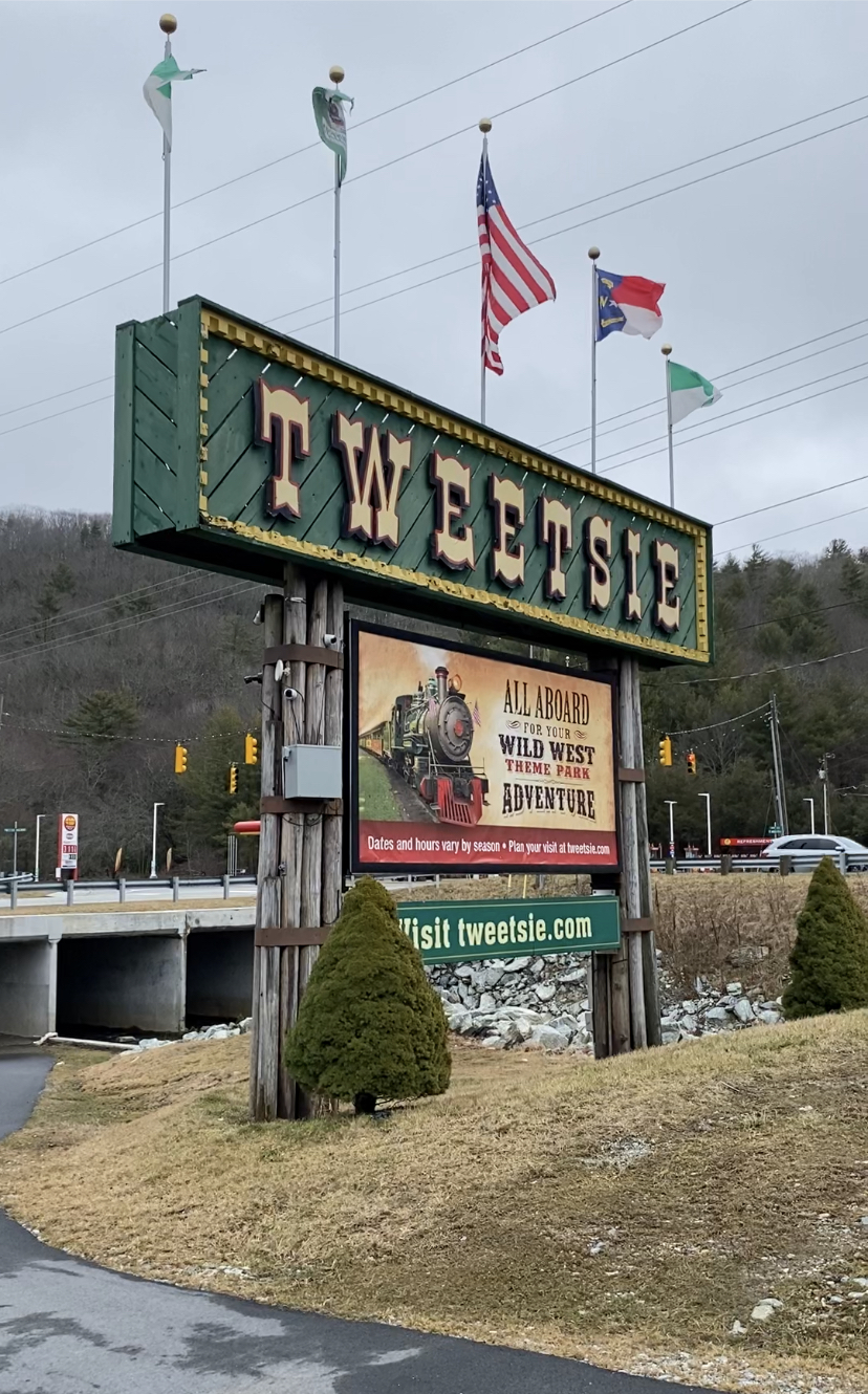
Tweetsie Railroad
Middle Fork Greenway 2
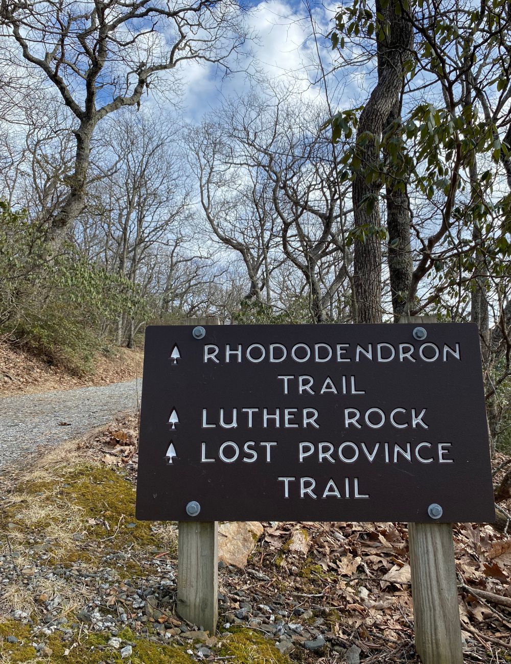
Lost Province Trail
Lost Province Trail is part of the trail network, in Mount Jefferson State Natural Area. The trail features gorgeous views from atop Luther Rock that take in the sweeping landscape below. There are also some picnic areas available for rest and relaxation. The trail is covered in bright lichens, colorful mosses, and old rocks. It is a rugged trail, with some rocky areas and roots sticking out of the ground in certain portions. Please be advised that the trail does have some rocky spots that can become slick in rain or ice. Our local State Parks are great places to enjoy winter views and conditions, though, when the weather allows! The blaze is a blue triangle so keep an eye out as it overlaps with the Rhododendron Trail!
Trail Length: 1.8 mile loop
Difficulty: Easy to Moderate
Surface: Single track dirt, gravel
Trail Use: No vehicles or bikes; leashed dogs ok
Blaze: Blue Triangle
Getting There:
This trail is located at the Mount Jefferson State Natural Area and is located approximately 30.7 miles or 42 minutes from downtown Blowing Rock. It’s an easy drive that can include the Blue Ridge Parkway for much of the way. Park at the Mount Jefferson State Natural Area parking lot and access the Lost Province Trail via the Rhododendron Trail.
Lost Province Trail Sign
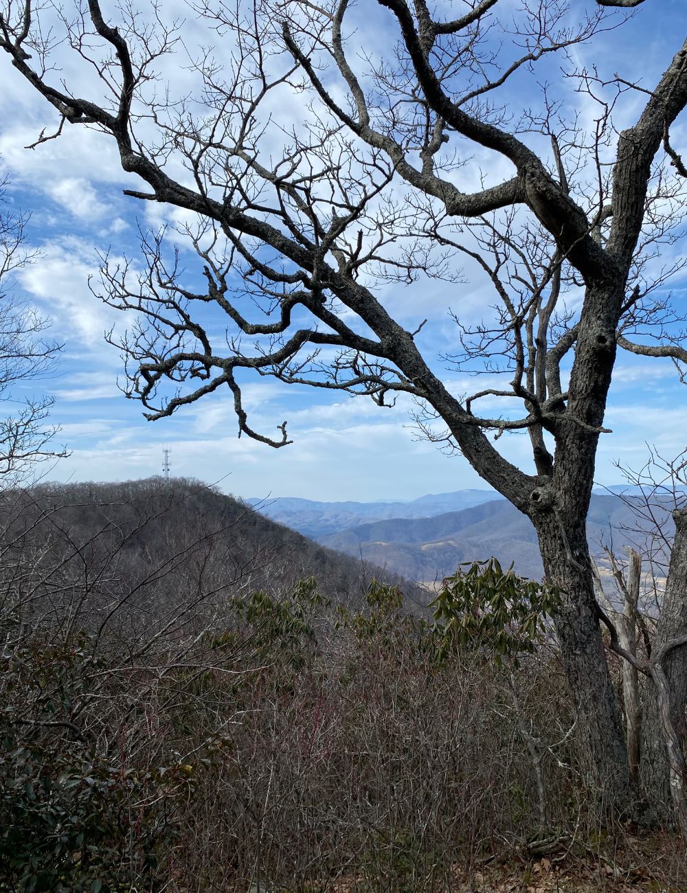
Luther Rock View
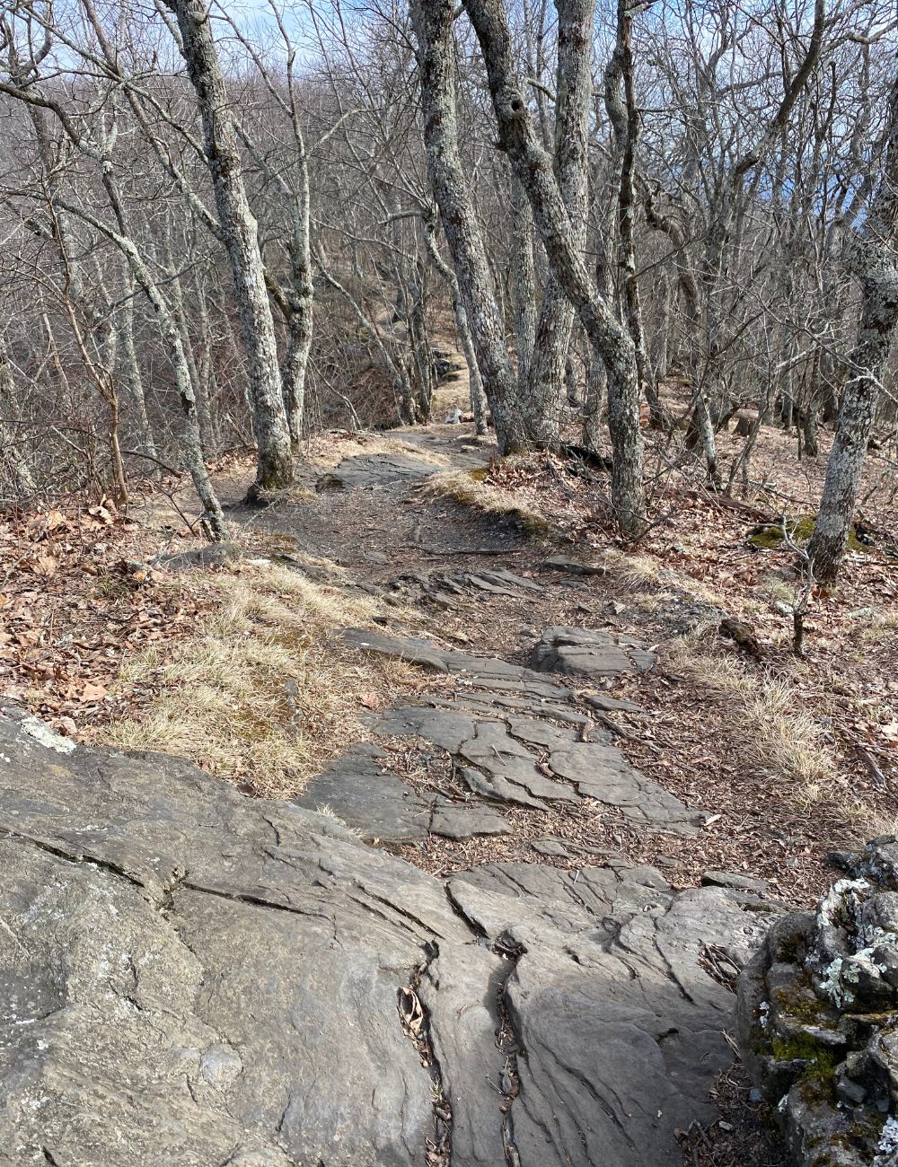
Lost Province Trail
The Maze to the Apple Barn
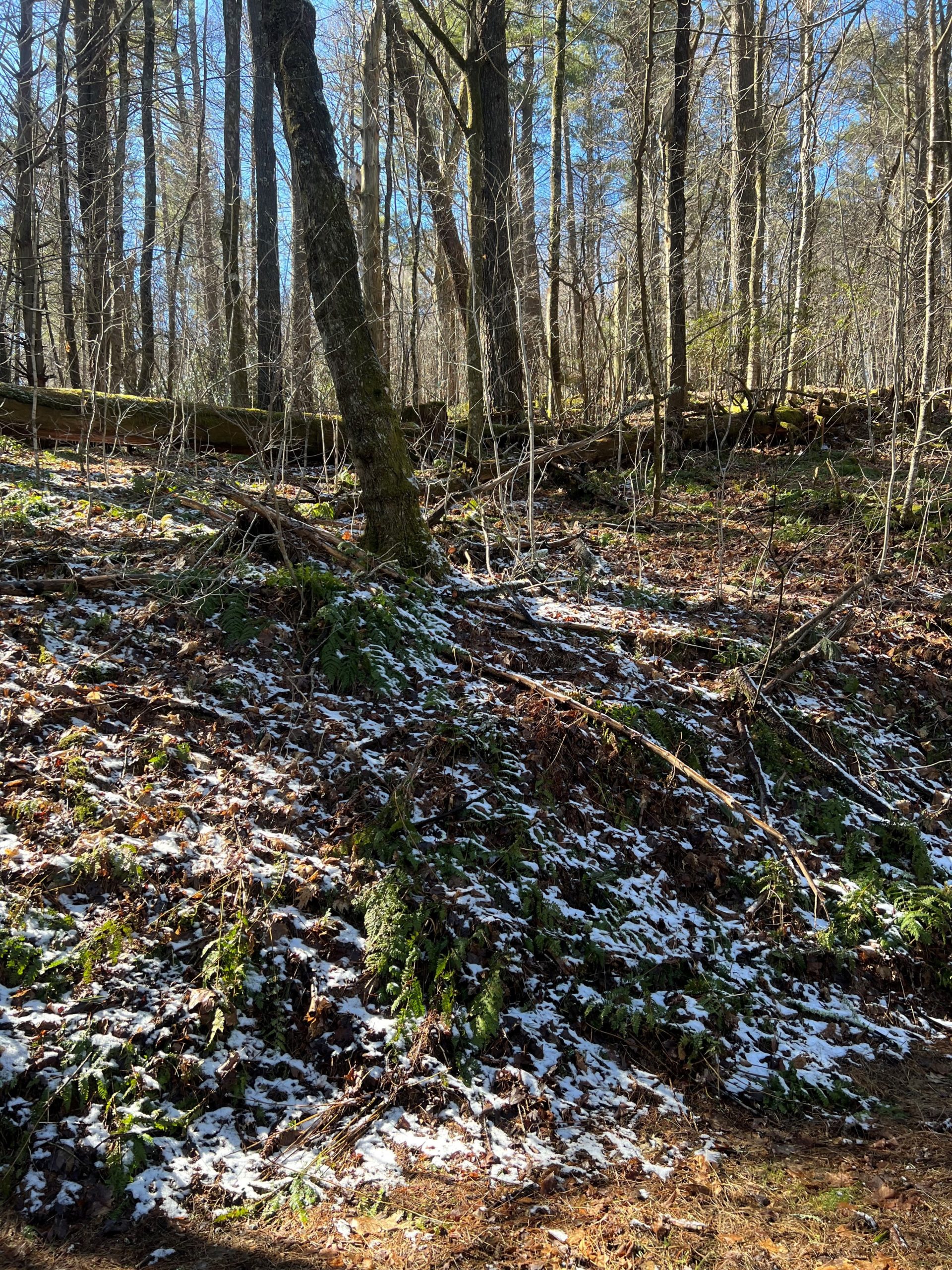
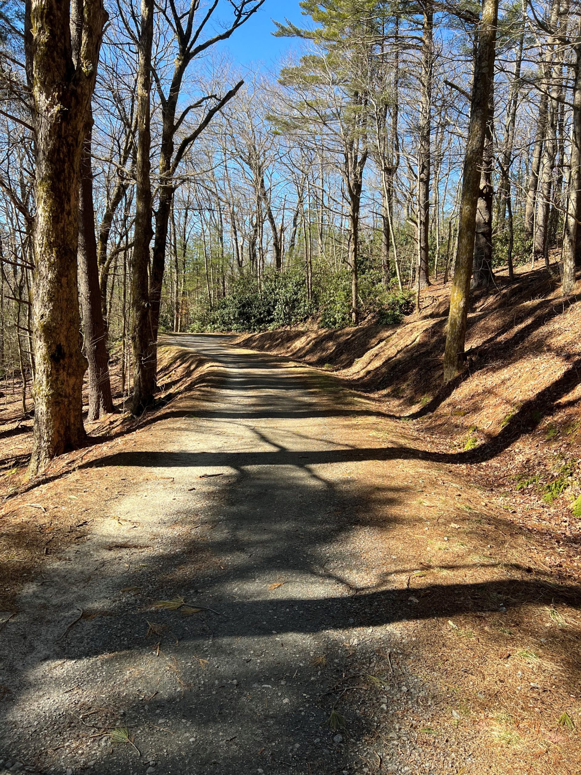
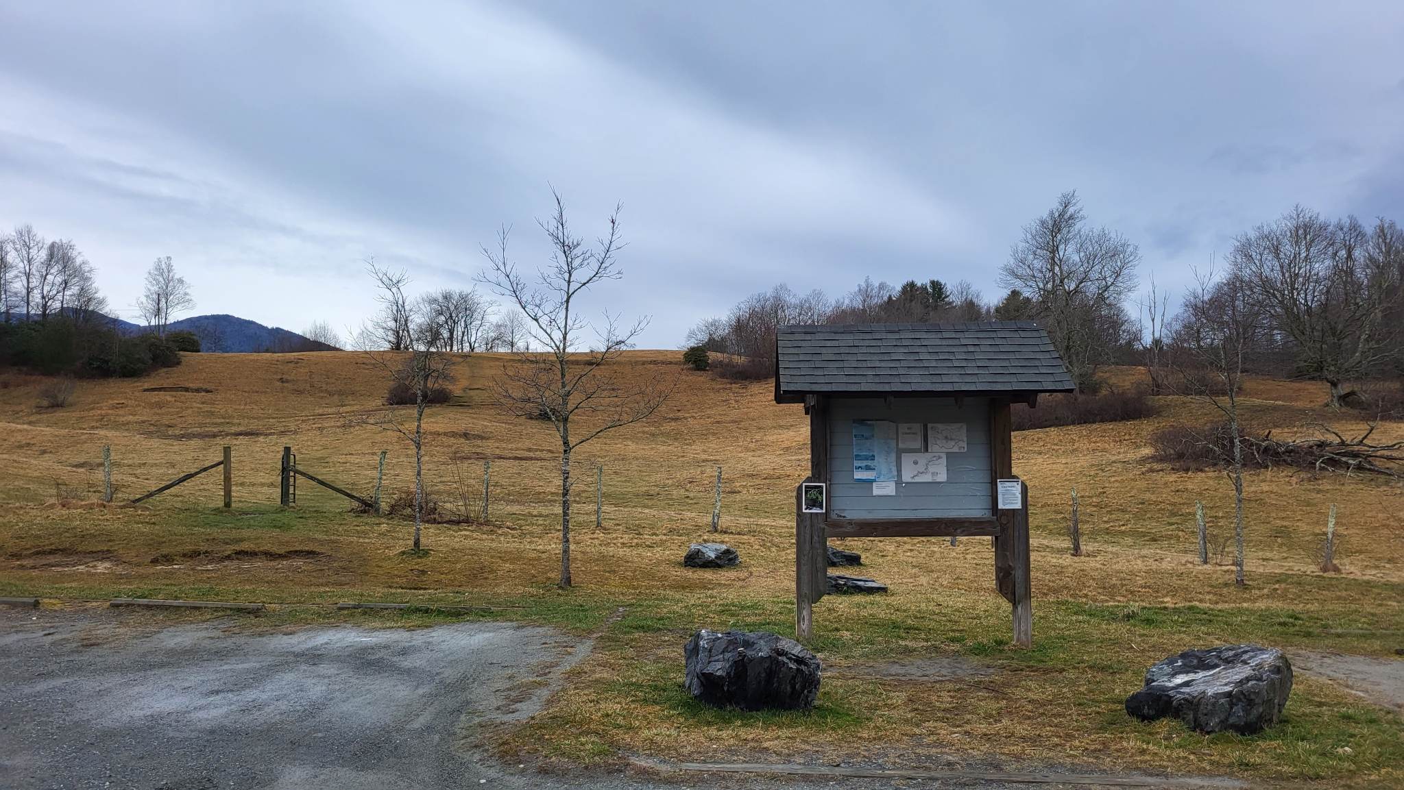
There are about 25 miles of trail in the carriage trail network at Moses Cone Memorial Park. The portion we enjoyed today is called The Maze due to the many switchbacks, twists, and turns taken to get to the Apple Barn. This walk to the barn doesn’t boast big mountain views, but it features many mossy logs, a sun-dappled trail, and the historic Apple Barn. The Cone Estate was a major apple producer for a time, and Moses Cone was quite the collector of varieties! This trail took 2 hours at a very leisurely pace. The trail itself is gently slopes upwards so there is some climbing but it is not strenuous. It is mostly well maintained, but has washed out a bit in places. Due to entering the trail from Bass Lake, you also get great views of Bass Lake, and depending on how you walk around the lake, you can see Cone Manor. It is recommended to wear layers for this hike as areas around the lake and on the Maze can be quite windy in winter. Please also make sure to pack water as it is easy to become dehydrated even in the winter months!
Trail Length: 3.6 miles
Difficulty: Easy
Surface: Single track gravel
Trail Use: No vehicles or bikes; leashed dogs & horseback riding ok
Blaze: No Blaze, posted signage
Getting There:
From Blowing Rock, take 221 towards Linville. Before you exit Blowing Rock, there will be a turn off for Bass Lake on the right. Turn off and park in the parking area. The lake is a loop so the trail can be accessed from either side, however, it may be faster to start to the left and access it from there. The turn off for the Maze is located on the left and goes over a bridge with a waterfall before starting in earnest. It is marked with a sign as well.
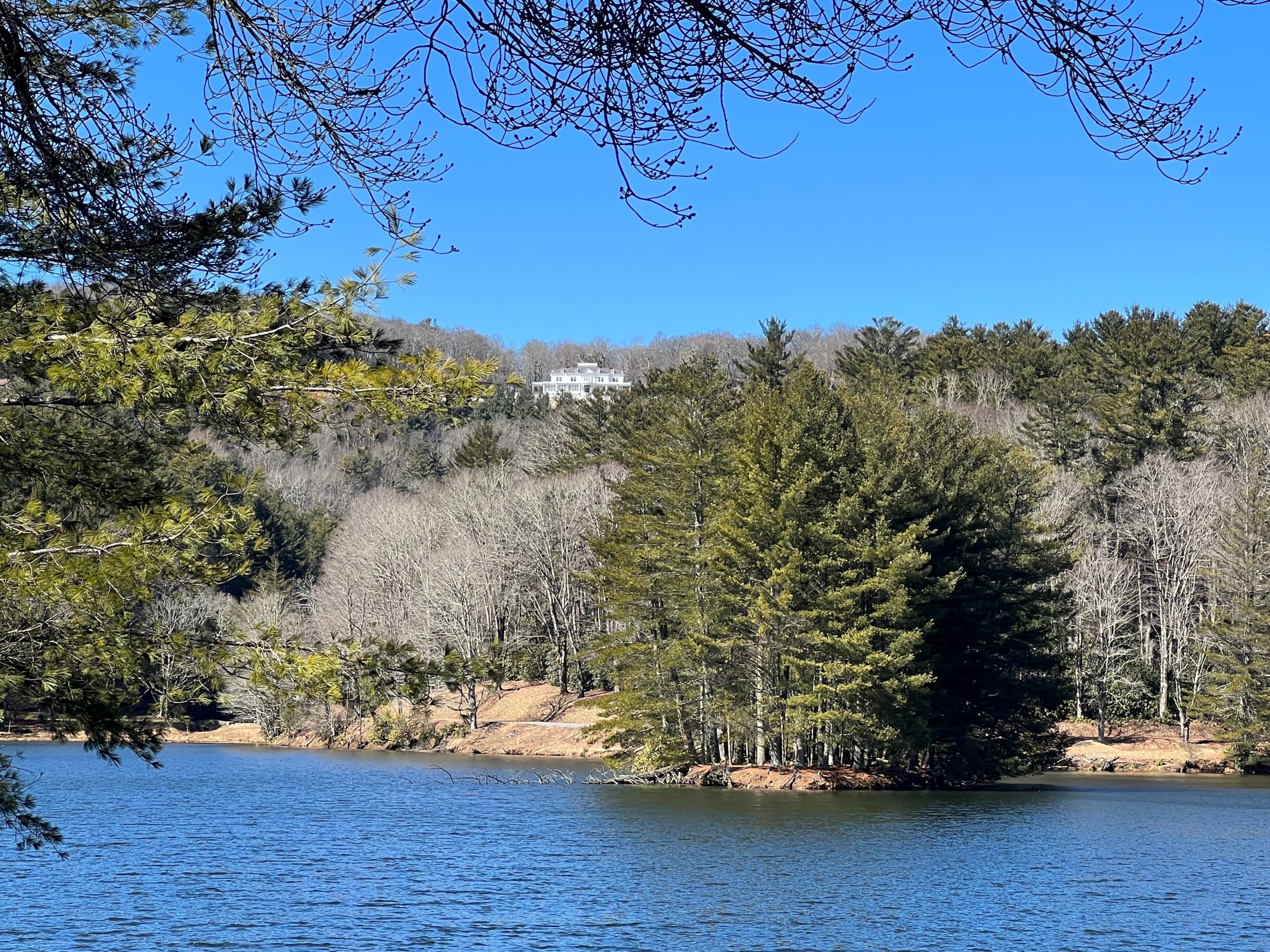
Cone Manor & Bass Lake
Melting Snow
The Maze
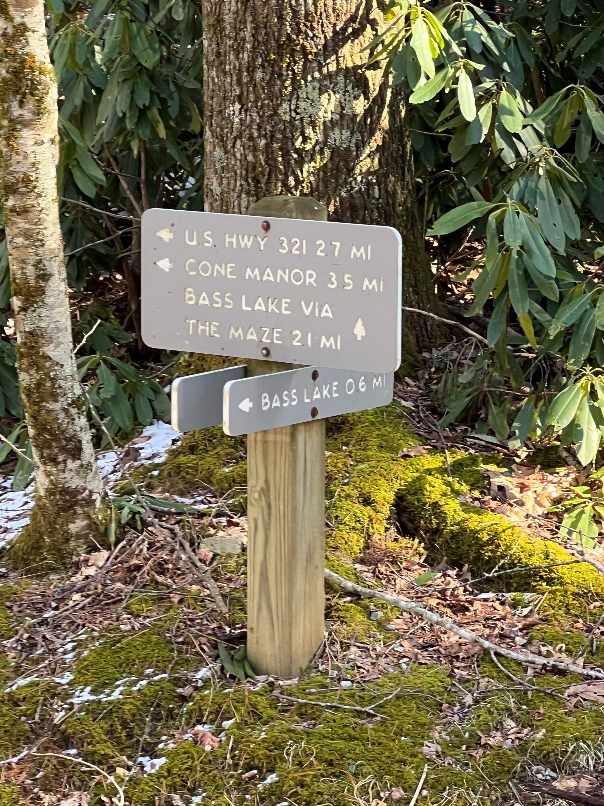
The Sign
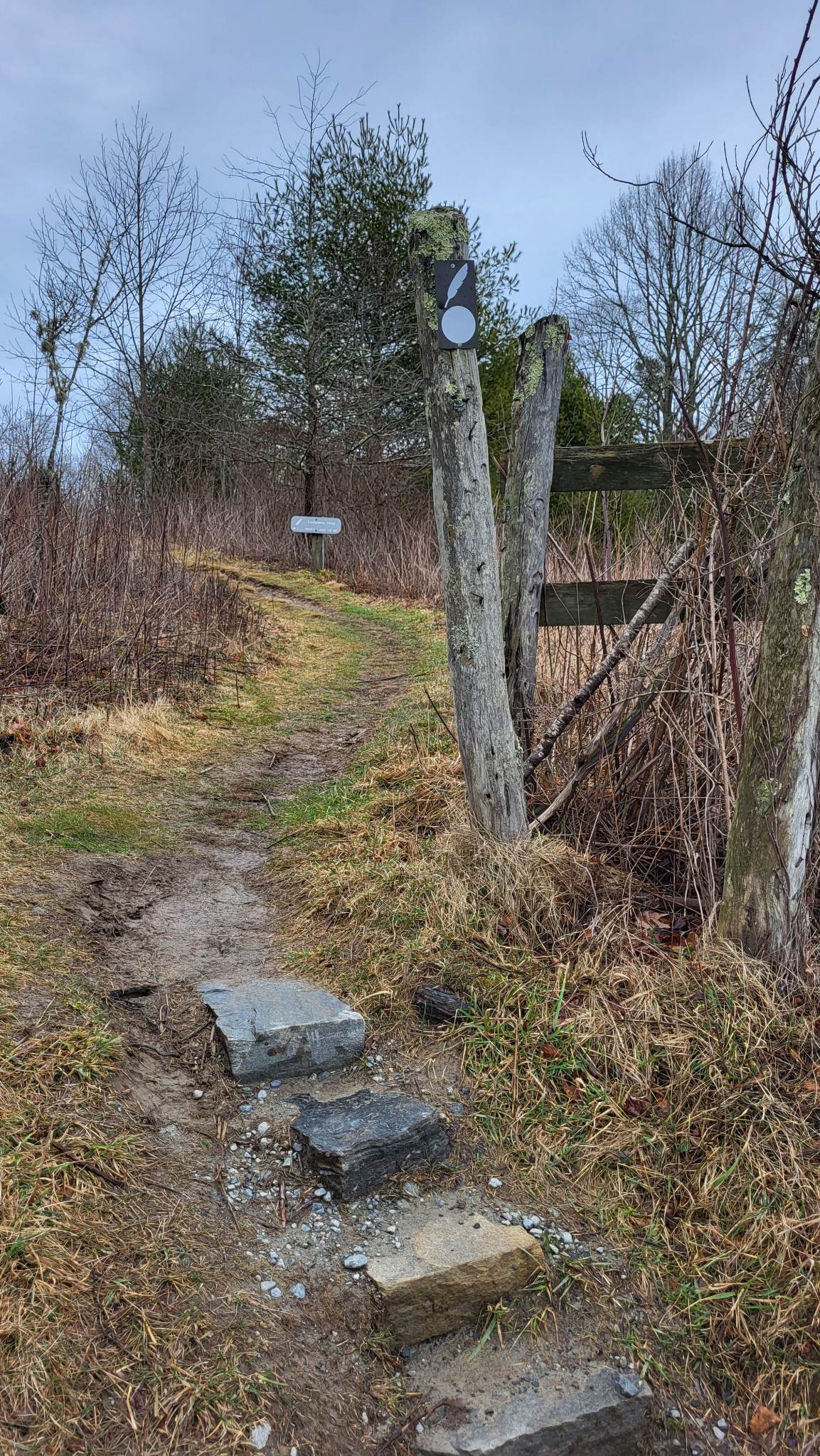
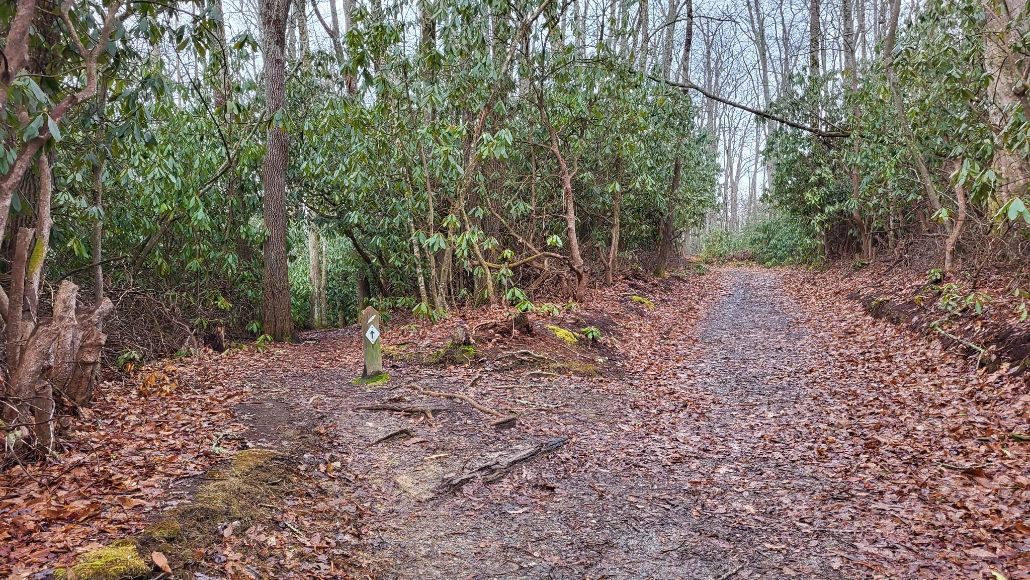
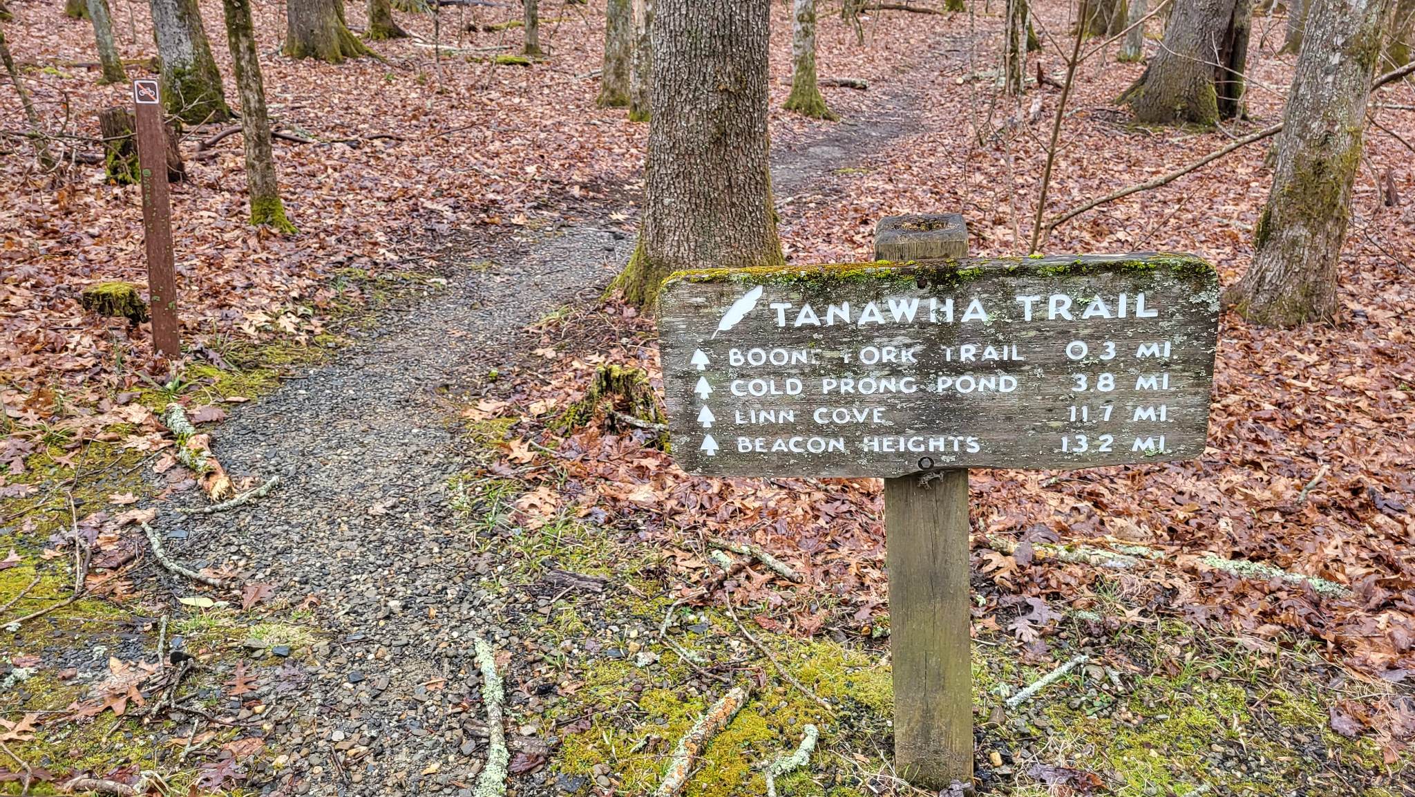
Tanawha Trail- Holloway to Price
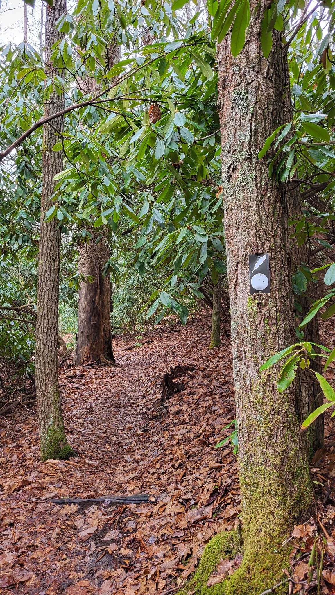
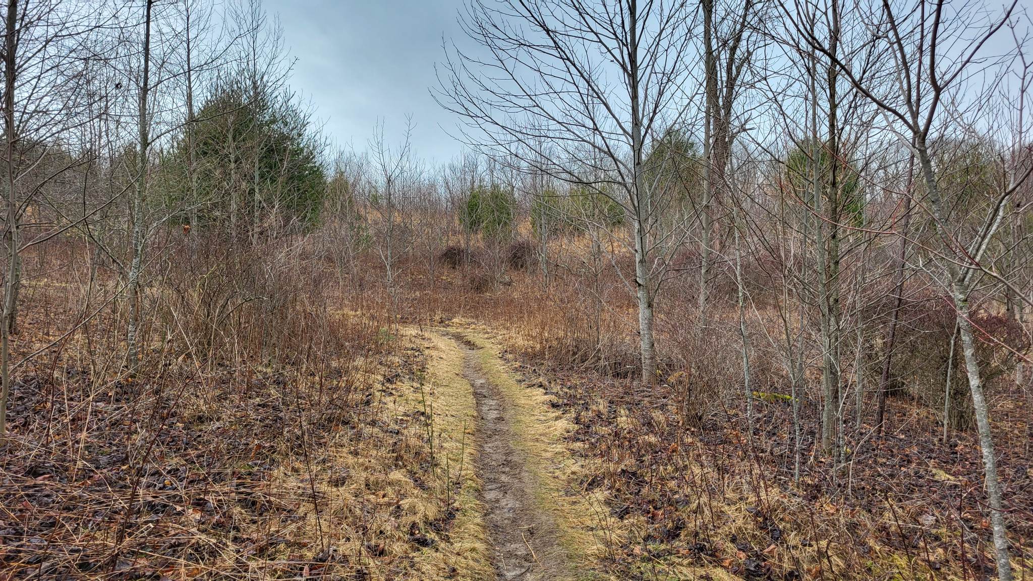
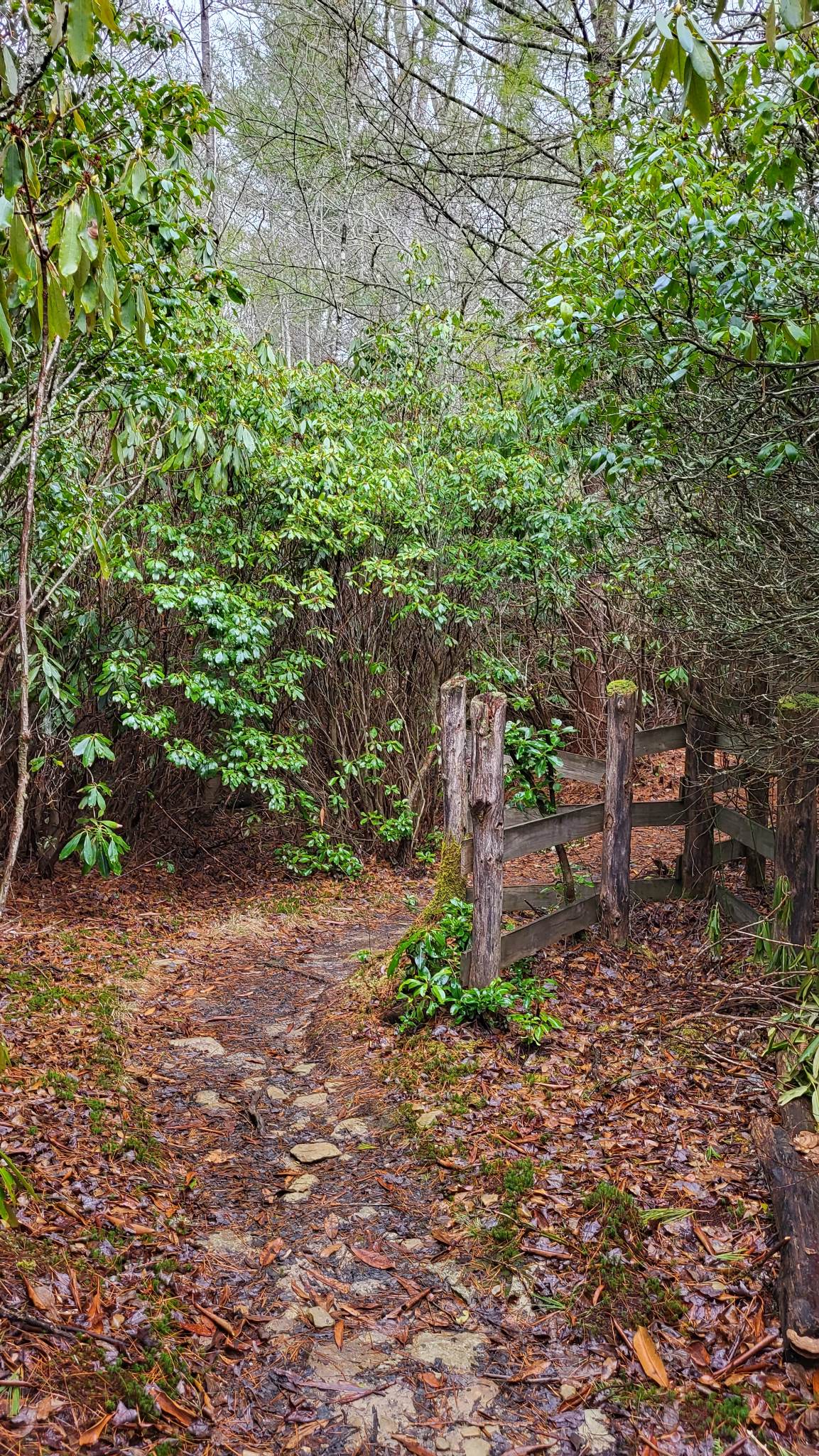
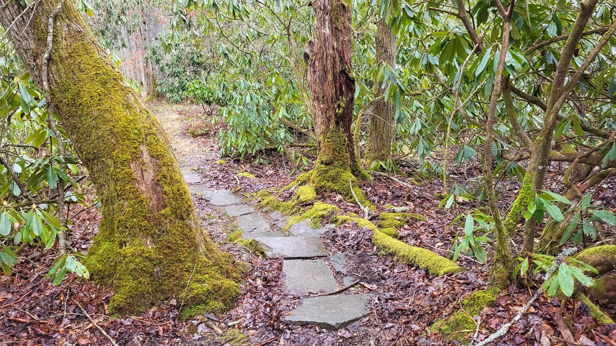
The Tanawha Trail traverses 13 miles from Price Park in Blowing Rock to Beacon Heights Overlook, along the Blue Ridge Parkway. With many access points along the trail’s length, it’s easy to break it up into shorter sections. For this wet winter day hike, we opted to explore the easternmost section between Holloway Mountain Road and Price Park, which takes about an hour at an easy pace. This portion of Tanawha Trail is beautifully varied, traveling through thickets of evergreen rhododendron and mountain laurel, scrubby meadow, and pine and oak forest. Vibrant green mosses brightened the trail, and there was already some spring growth showing on the forest floors.
Trail Length: 1.6 miles
Difficulty: Easy to Moderate
Surface: Single track dirt, gravel
Trail Use: No vehicles or bikes; leashed dogs ok
Blaze: White feather
The first 1/2 of this portion is relatively flat, providing a hike that’s more like a relaxing stroll through the woods, not too muddy considering recent rains. The second half of this route has some gentle slopes to climb as it nears the Price Park area, as well as a couple of short footbridges. Be sure to keep an attentive eye out for the white feather blaze! This portion of the Tanawha Trail intersects, joins, and diverges from both Mountains To Sea Trail (white dot) and Boone Fork Trail (orange diamond) in several places. You’ll reach the eastern terminus of the Tanawha Trail at the edge of the Price Park Campground. From there, you can turn back to return to your vehicle, or continue through the campground via the Boone Fork Trail to explore further. If you travel with others and leave a second vehicle for the end of your hike, the parking area by the boat ramp at Price Lake is a great place to park. Leaving the eastern end of Tanawha Trail, turn right to follow the short paved walk to the Blue Ridge Parkway. You’ll see the driveway to the Price Lake boat ramp across the roadway and down to the right.
Getting There:
From Blowing Rock, travel down Highway 221 toward Linville for about 6 miles and turn right on Holloway Mountain Road. Note that Holloway Mountain Road changes from paved to gravel after about 1 mile. The parking area for Tanawha and the Mountains To Sea Trail is about 1 mile further on the left. There are about 15 spaces in a gravel lot. To hike the portion toward Price Lake, we started the trail across the road from the parking area. The trail can easily be started from Price Lake instead, and taken in the opposite direction. If hiking in winter, check ahead for roadway closures on the Blue Ridge Parkway.
Parking area on Holloway Mtn Rd
Trail head
Tanawha & MST blazes

bright moss
open scrub

multiple trail crossings
evergreen beauty
trail intersection
varied path
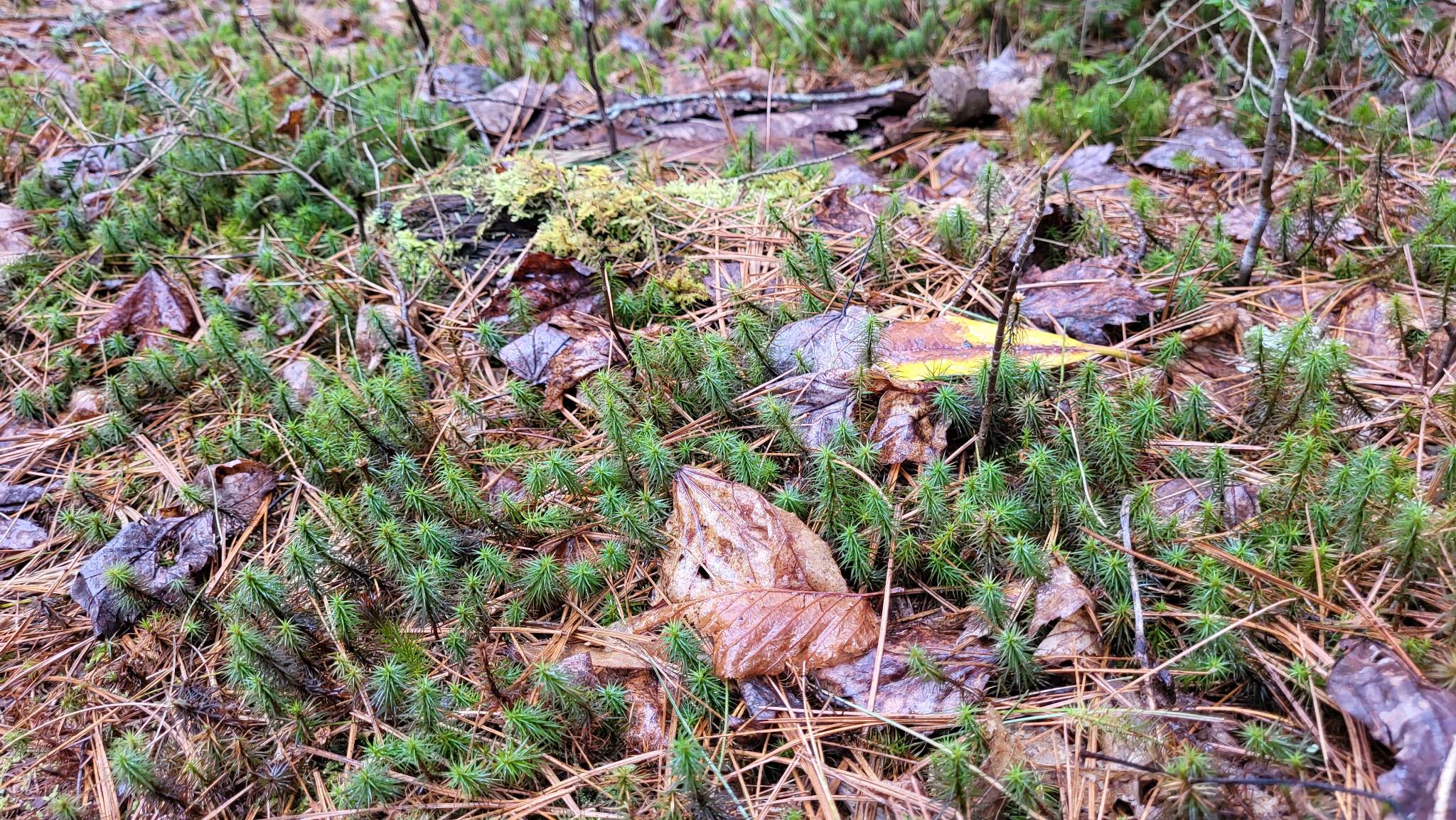
new growth
east terminus sign
Looking Ahead
For March, we’ll continue exploring some great winter and early spring trail options. Local greenways, ski runs, and state parks have plenty to offer this season! See more about Year of the Trail in Blowing Rock >>