
In July, we checked out trails that show off the incredible diversity of hiking and strolling in the High Country! We visited Grandfather Trail, Middle Fork Greenway, and Tanawha Trail from Beacon Heights to Stack Rock. As always, please remember to pack plenty of water and snacks, and to do some research before you set out on your hiking experience. Read along below, and see what we’ve been up to in July.
Grandfather Trail
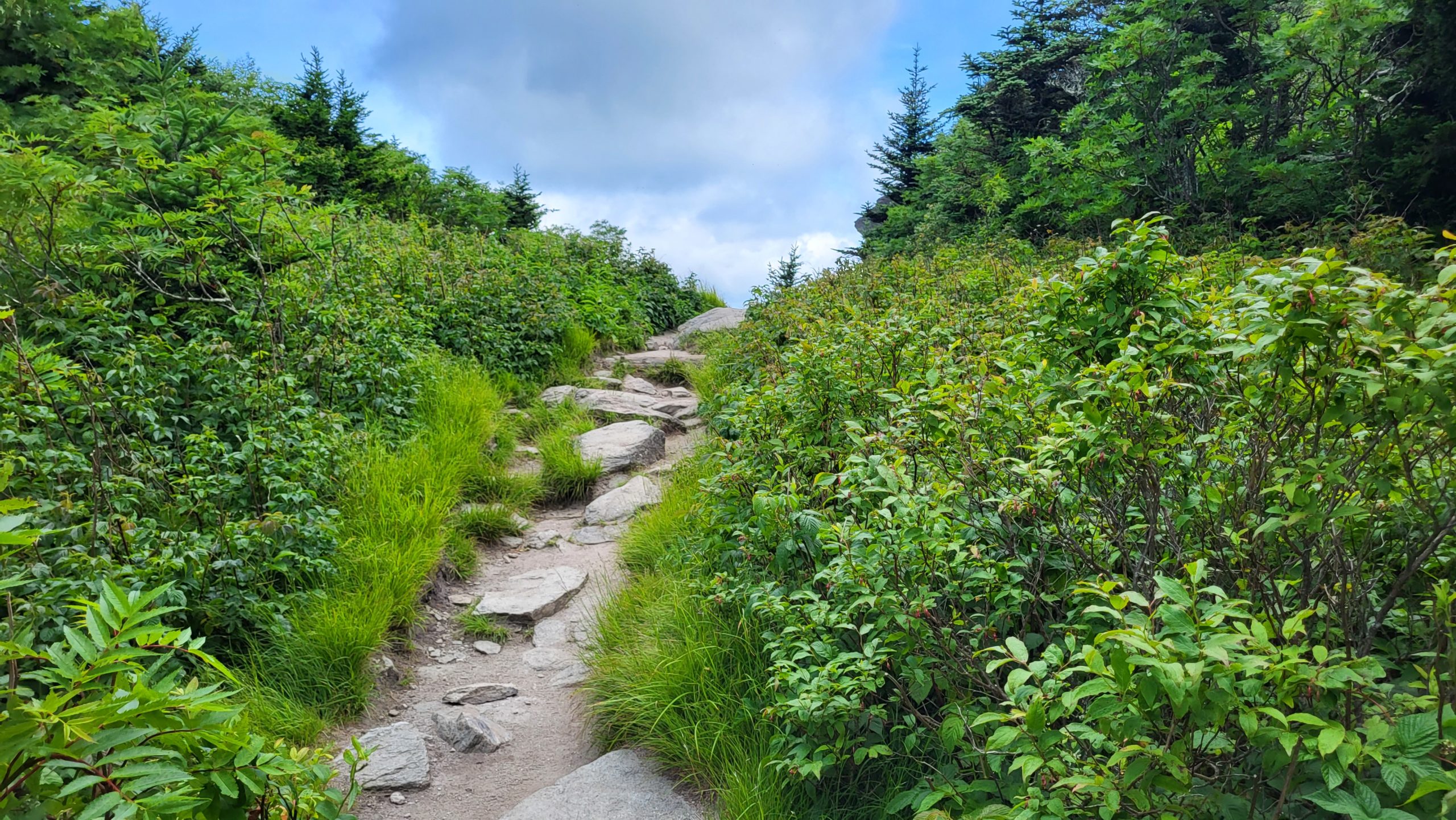
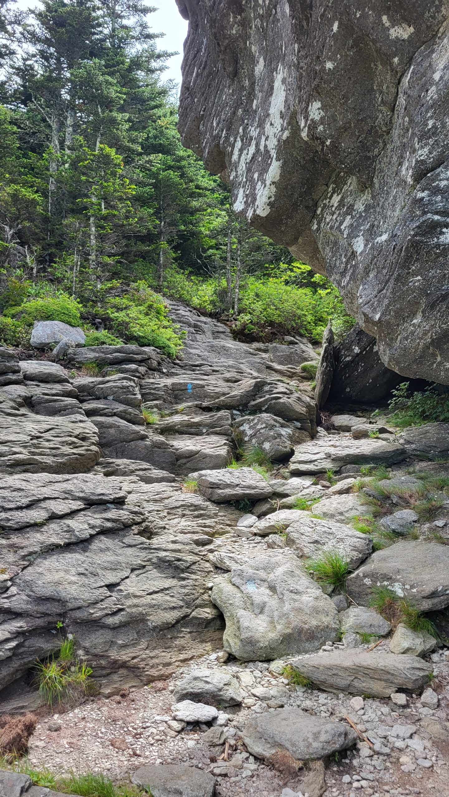
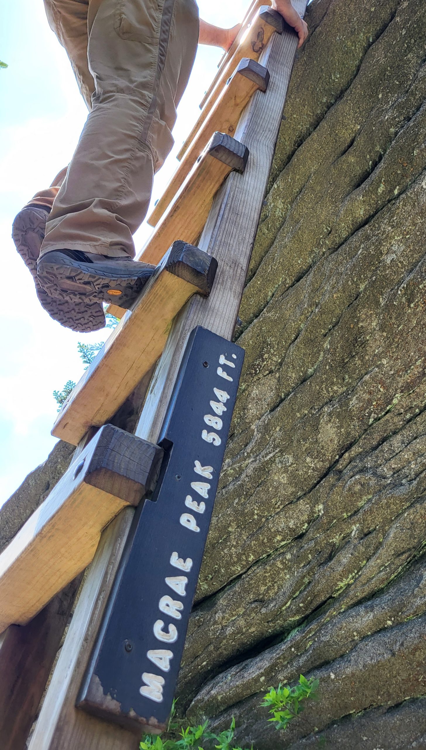
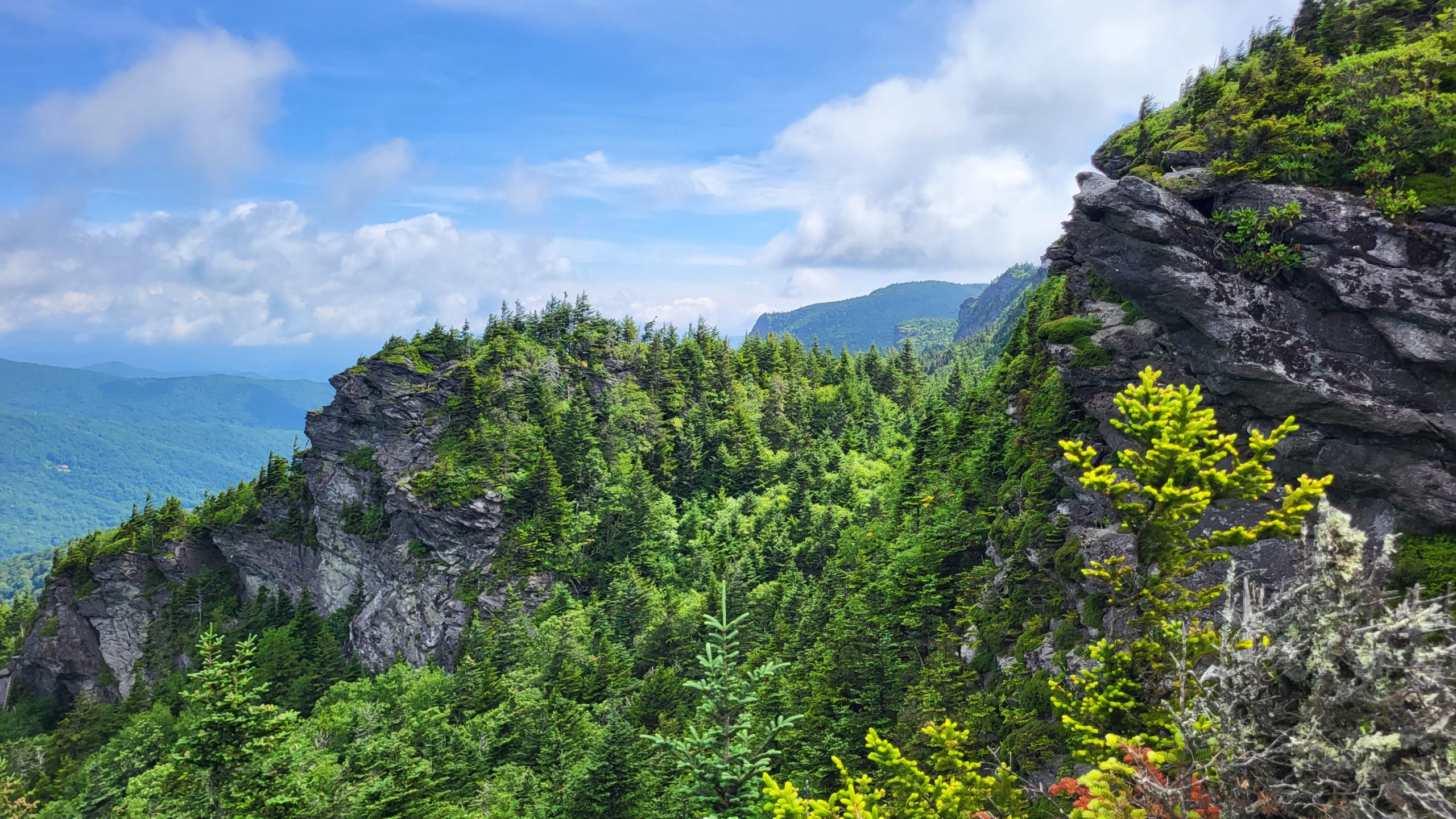
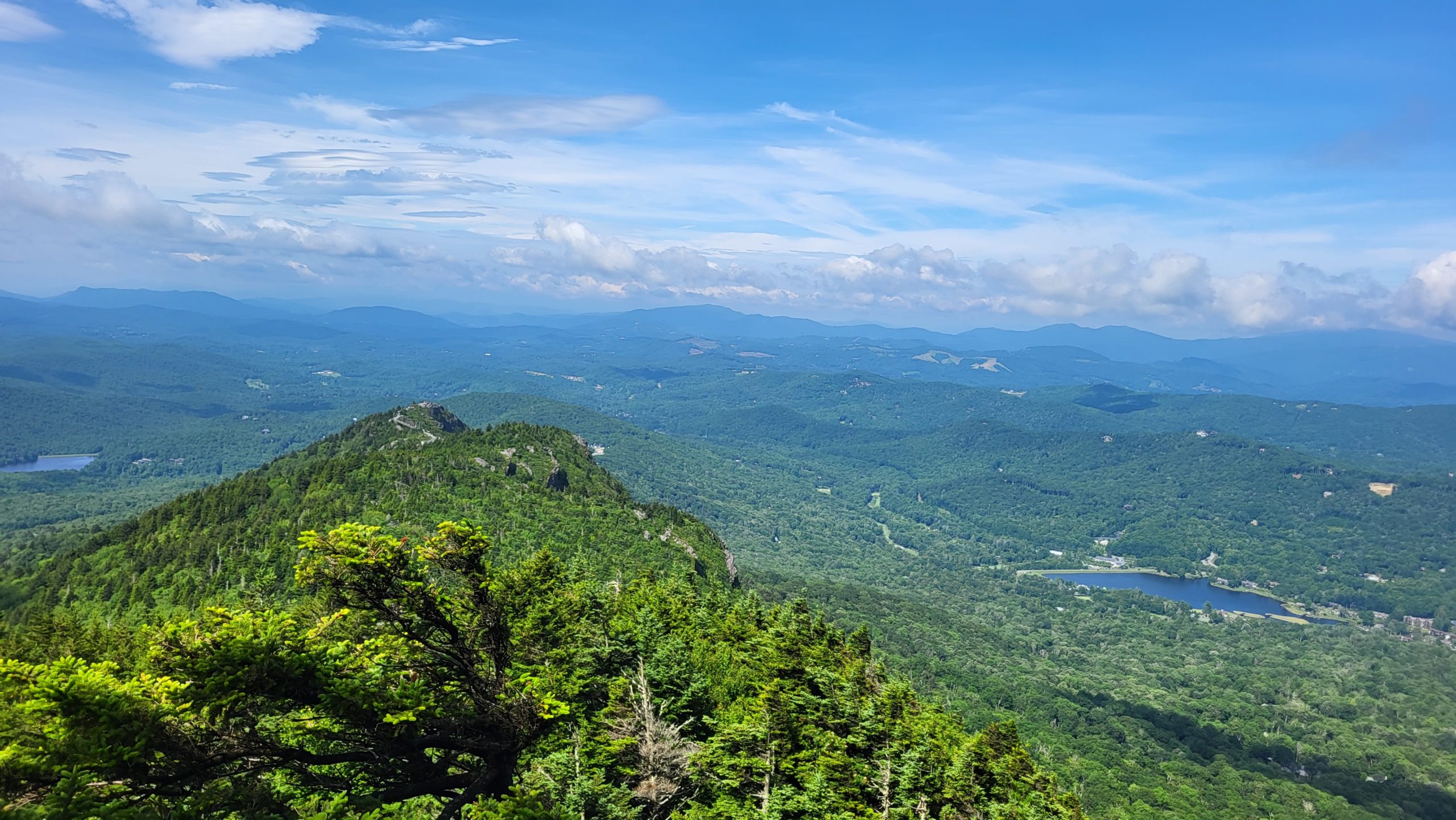
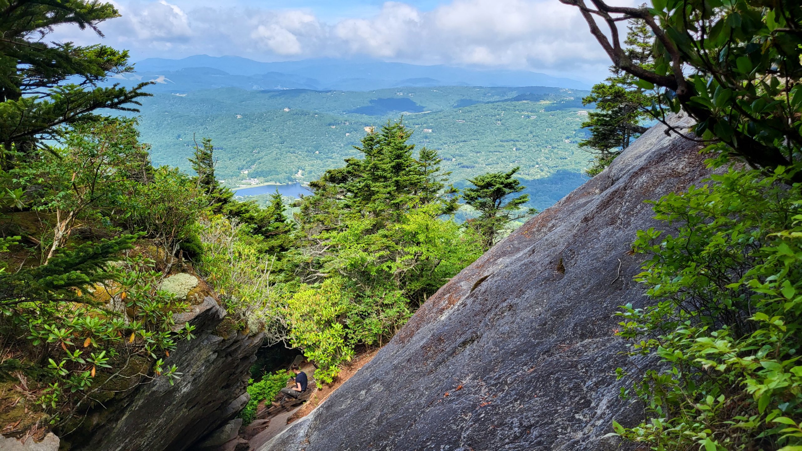
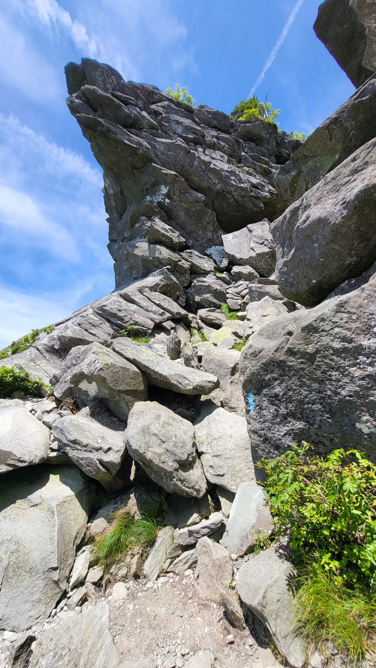
Renowned for its mountaintop passes, cliffside ladder climbs, and breathtaking views, Grandfather Trail is among NC’s most iconic trails. This thrilling path follows the rugged ridgeline of Grandfather Mountain. Several in-place cables and ladders provide access up cliffs and over massive boulders. The top of this mountain feels like a different world, inhabited by wind-sculpted spruce trees and densely crouched shrubs of mountain myrtle. Wide views are enjoyed from the edges of multiple bluffs and peaks, unobstructed by any man made feature
Trail Length: 5.4 miles round trip
Difficulty: advanced
Surface: Natural rock and dirt terrain, some in-place cables and ladders
Trail Use: hiking (trail considered dangerous for pets)
Blaze: blue mark
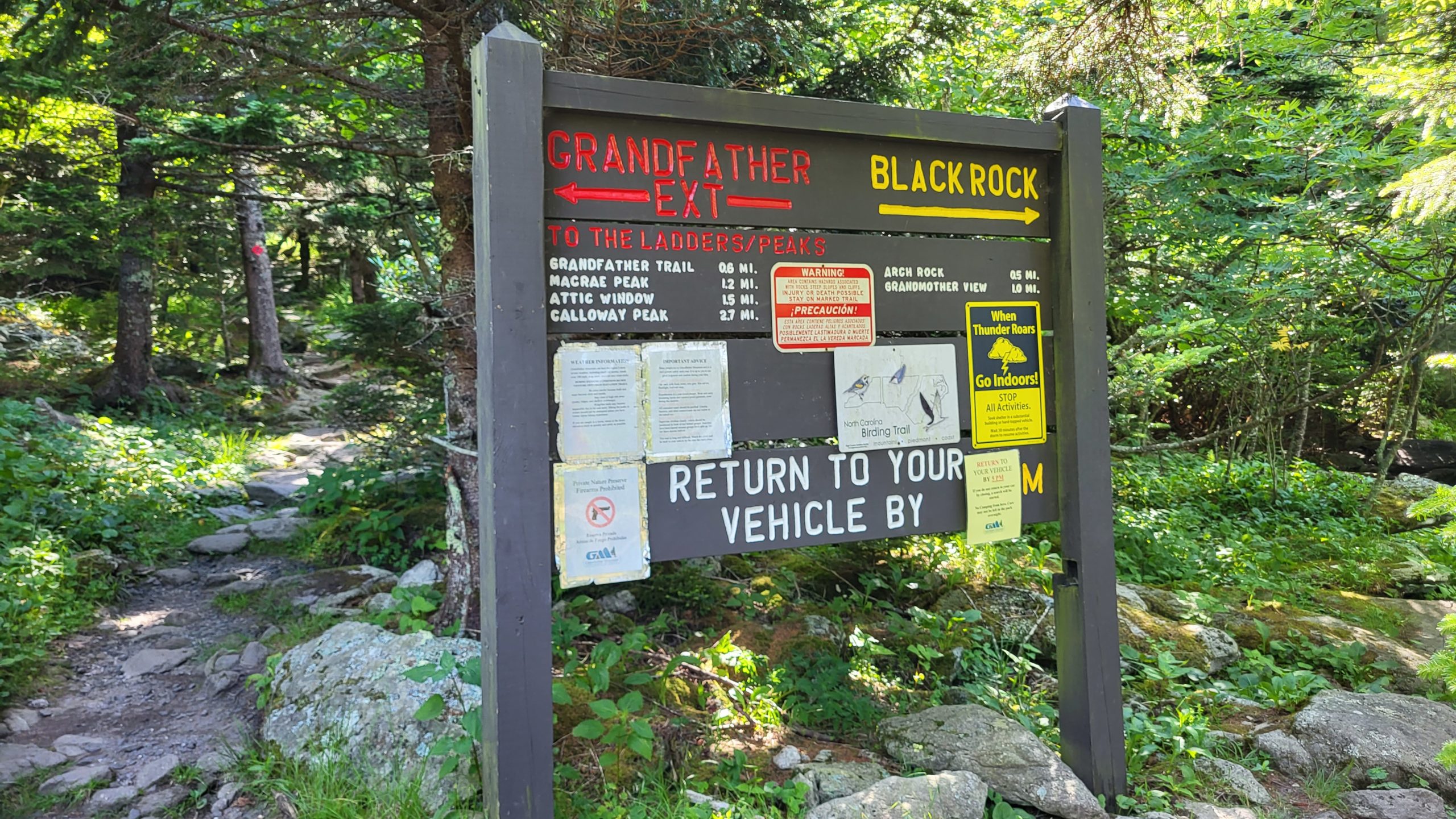
This challenging route should only be attempted by experienced hikers, and usually takes over 5 hours to complete- more if accessed from lower trailheads in Grandfather Mountain State Park. We opted to begin the trail inside the Grandfather Mountain attraction, which does have an admission fee. Regardless of how the trail is accessed, filling out hiking permits at the trailheads is required before hiking any of the backcountry trails in Grandfather Mountain State Park.
We started the hike with the Grandfather Extension Trail, which begins at the Black Rock parking area in the Grandfather attraction. The Extension is a steady climb for 6/10 of a mile through rich forest to the intersection of Grandfather Trail. Turn right to head toward McCrae Peak, the first peak of three along the crest of Grandfather Mountain. The technical hike continues over sheer rock faces, through narrow chutes, and across rocky outcrops. At Attic Window, the trail goes nearly vertical with a hand-over-hand climb. After a vertical gain of almost 1,800 feet, the trail reaches Calloway Peak at 5,945 feet.
If you are taking on Grandfather Trail, make sure you’re prepared for the trek in advance. Do not underestimate the physical nature of this hike! Get familiar with the trail by using resources like maps, apps, and websites. Hikers should wear sturdy, closed-toe hiking shoes and bring plenty of water and snacks. Weather changes quickly at high elevations so check the forecast when planning the hike and just before setting out. If you are timid of heights, this trail is not for you.
Getting There:
To access from Black Rock parking inside the Grandfather Mountain attraction, head south on the Blue Ridge Parkway from Blowing Rock to milepost 305. Take 221 one mile to the entrance to Grandfather Mountain.
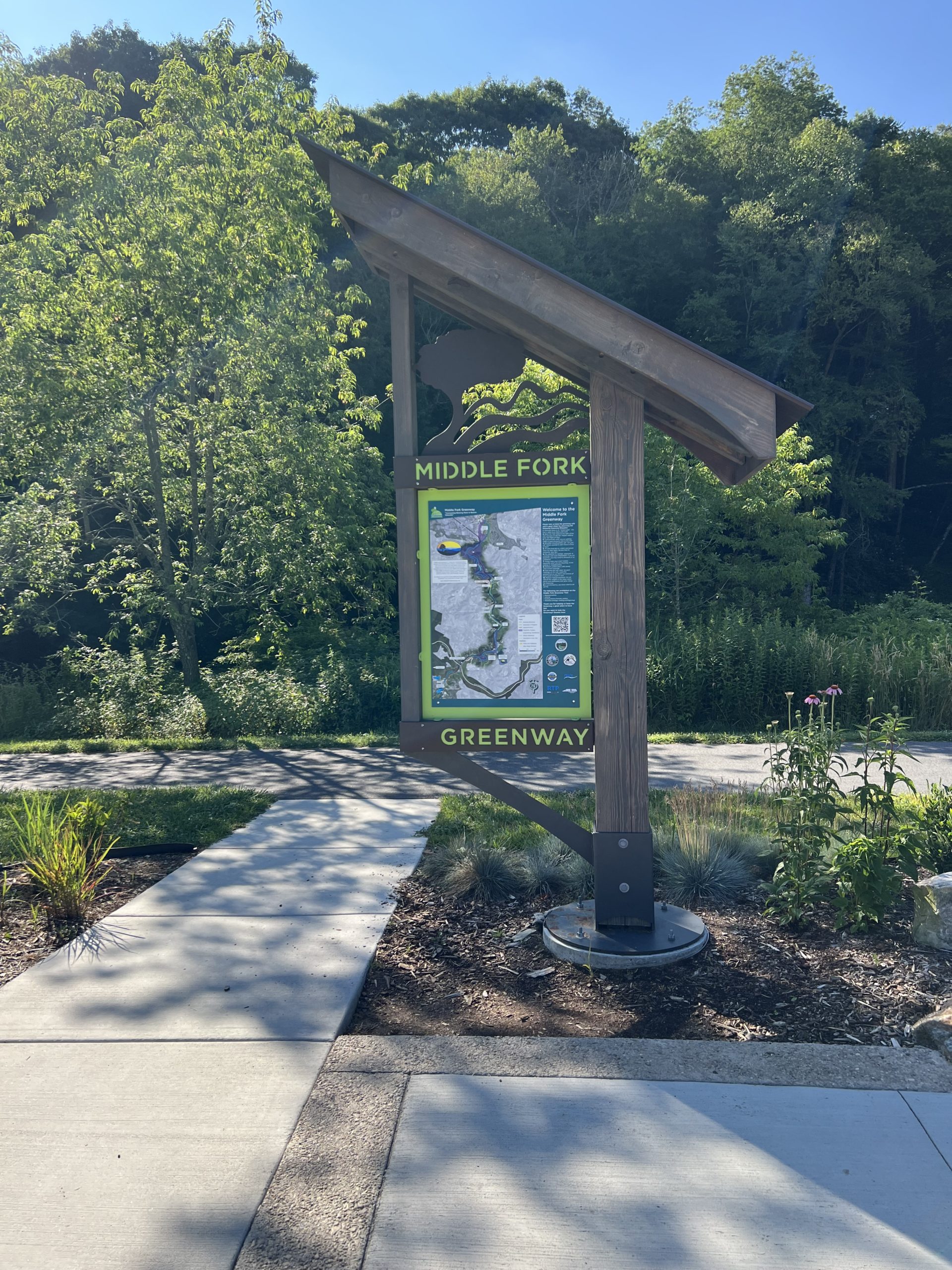
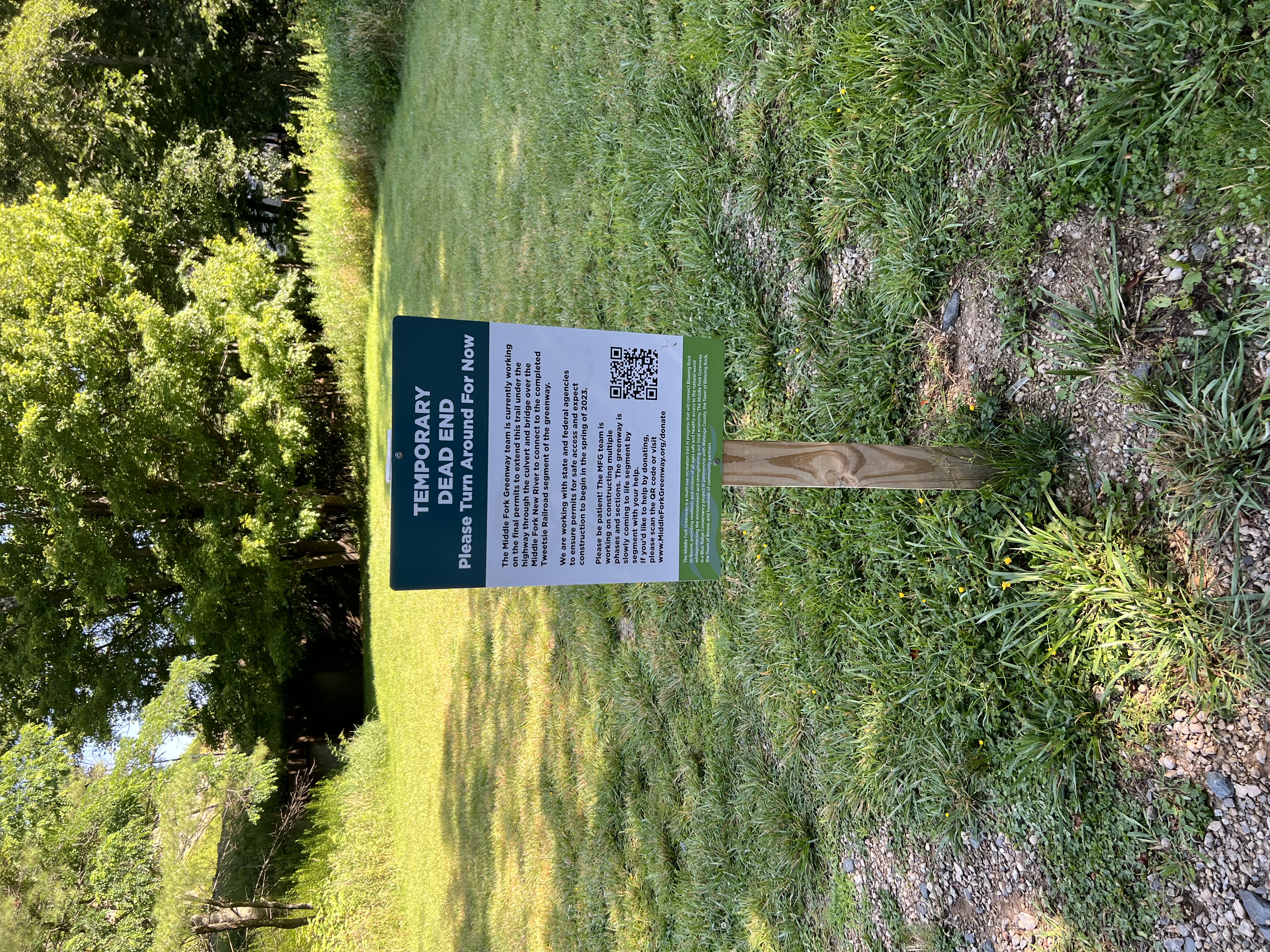
Middle Fork Greenway
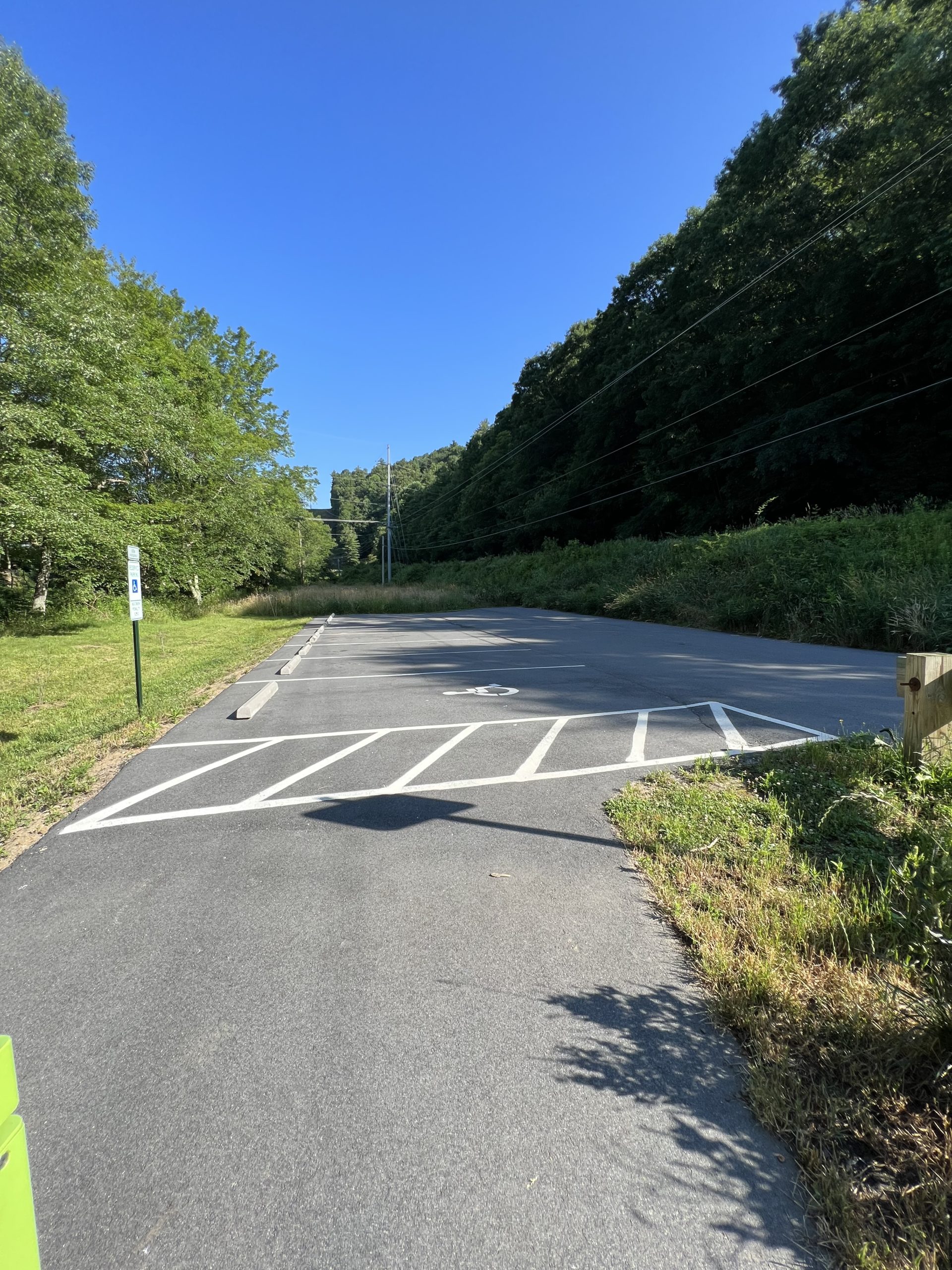
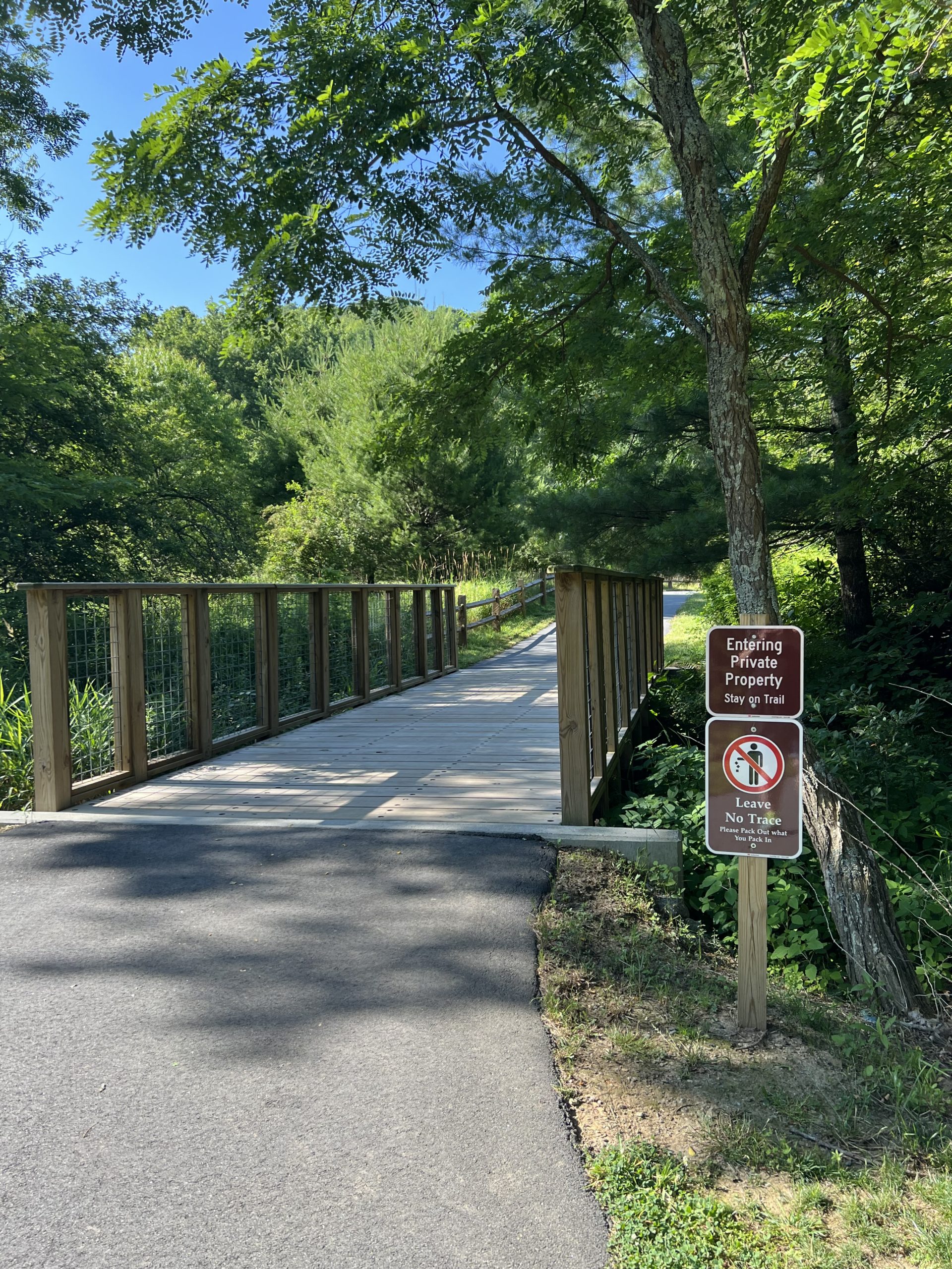
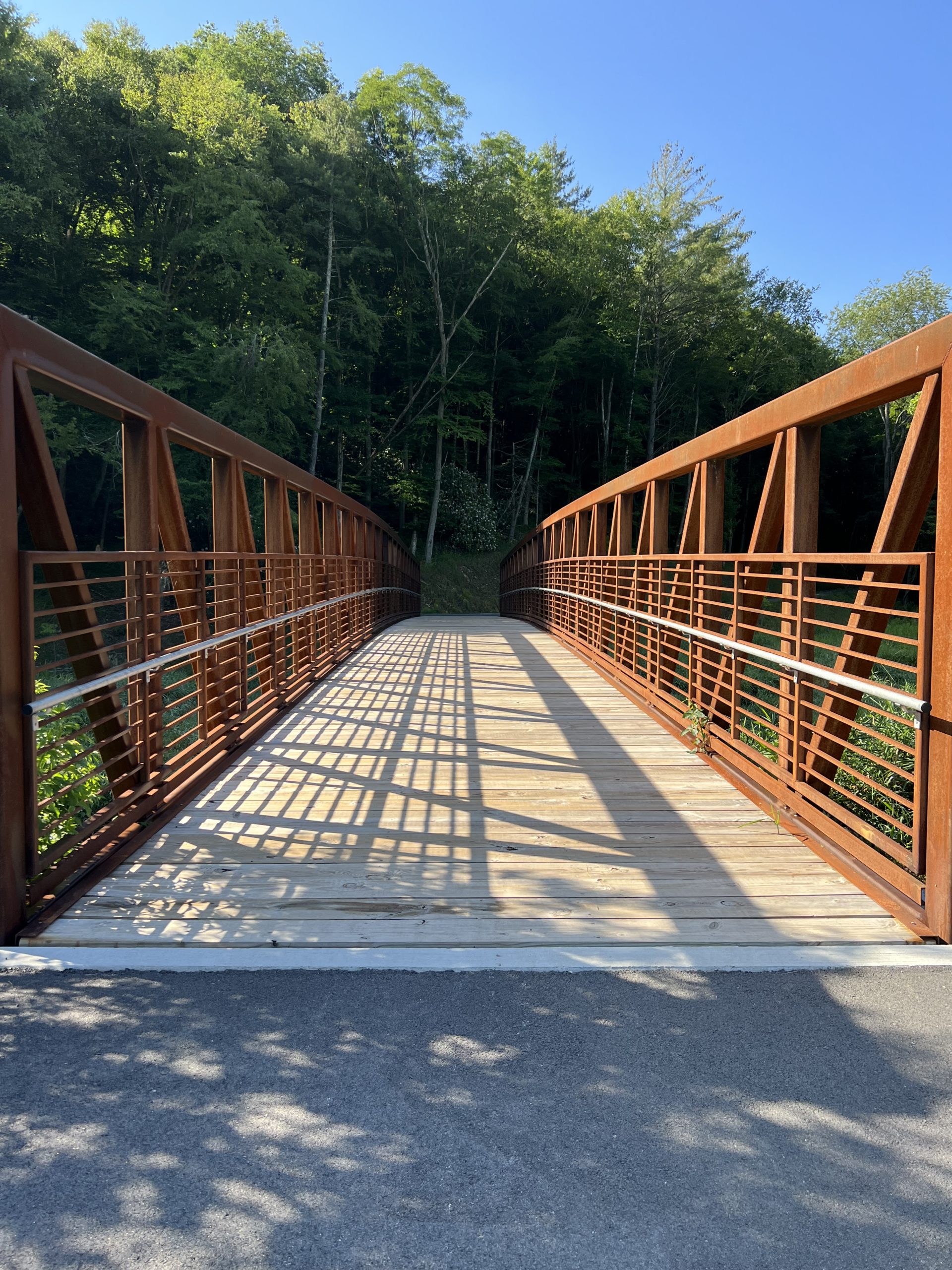
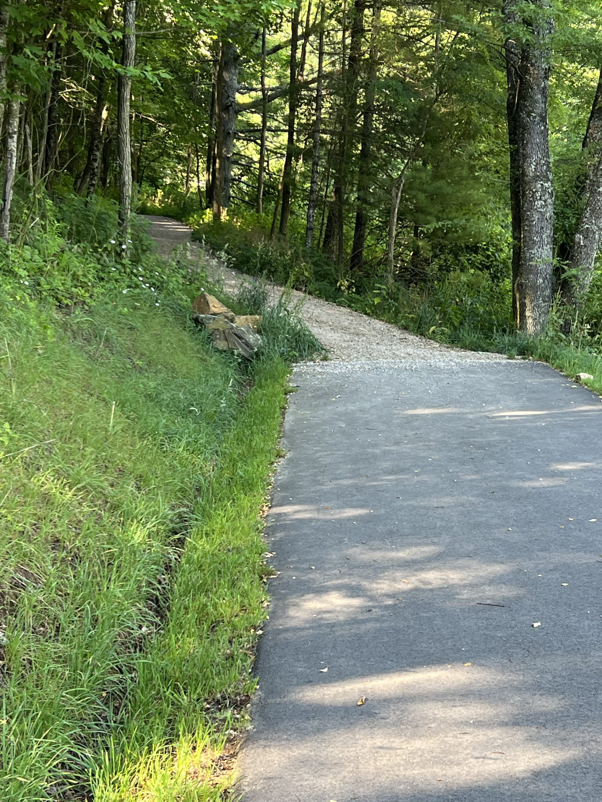
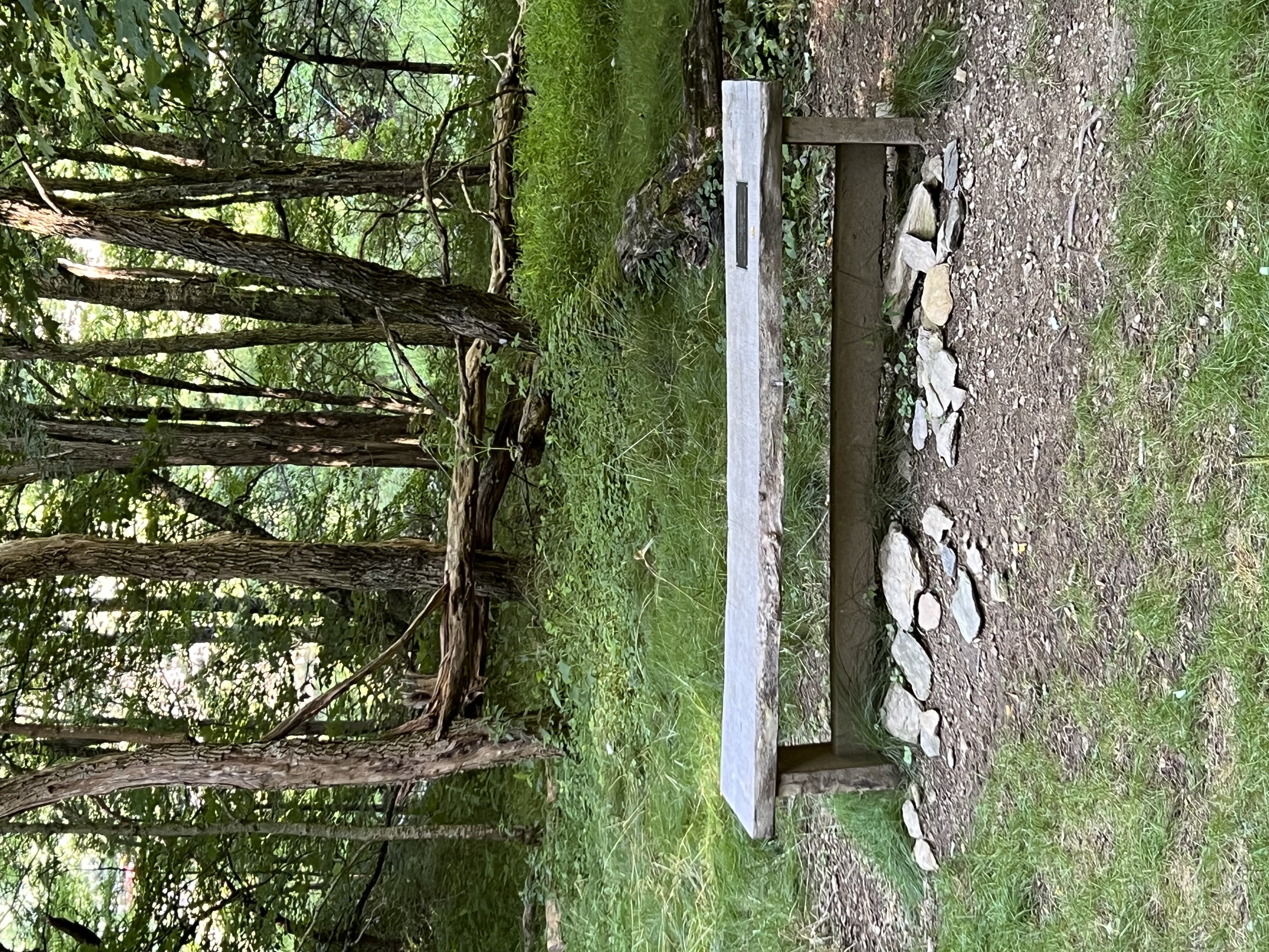
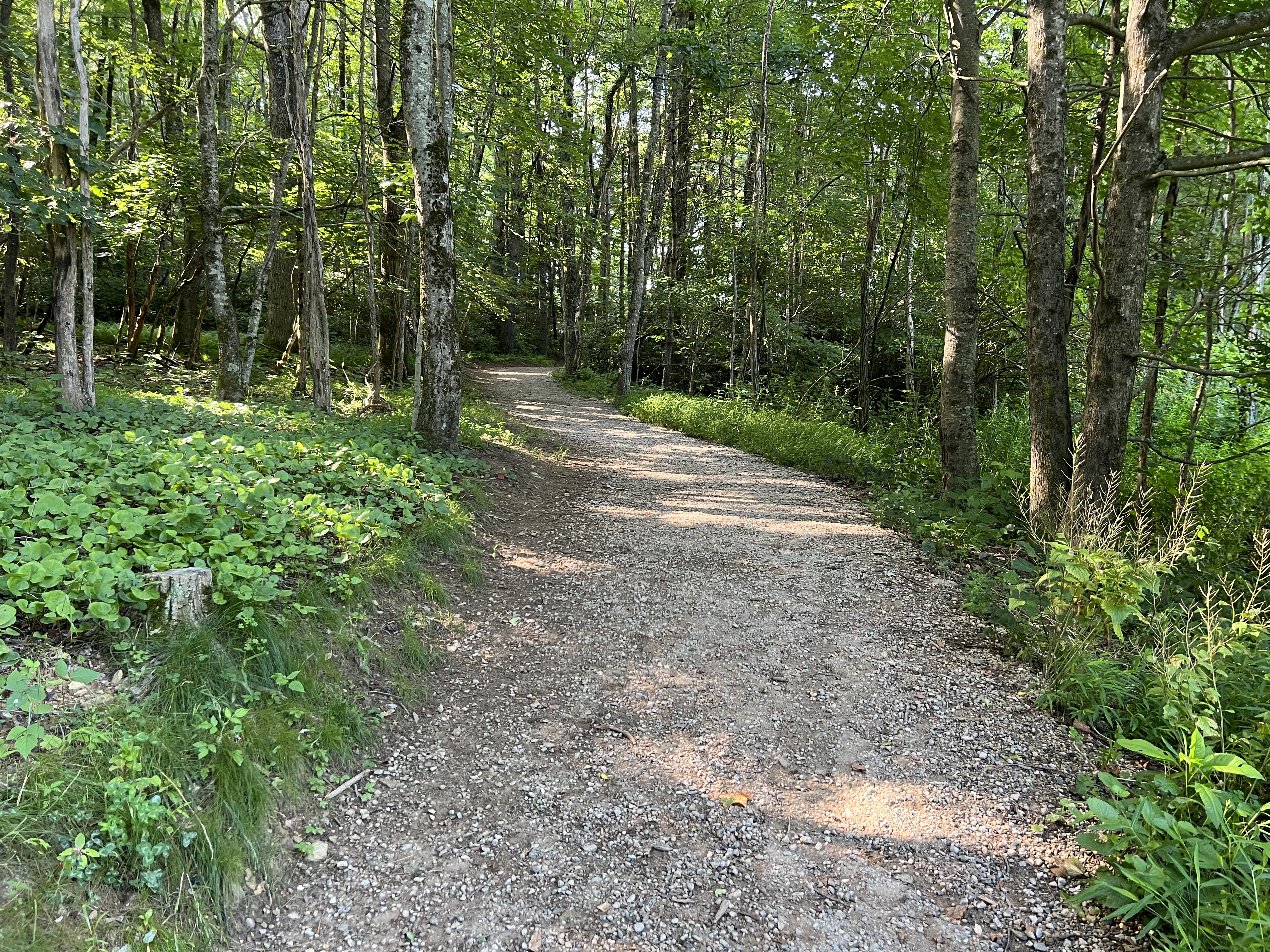
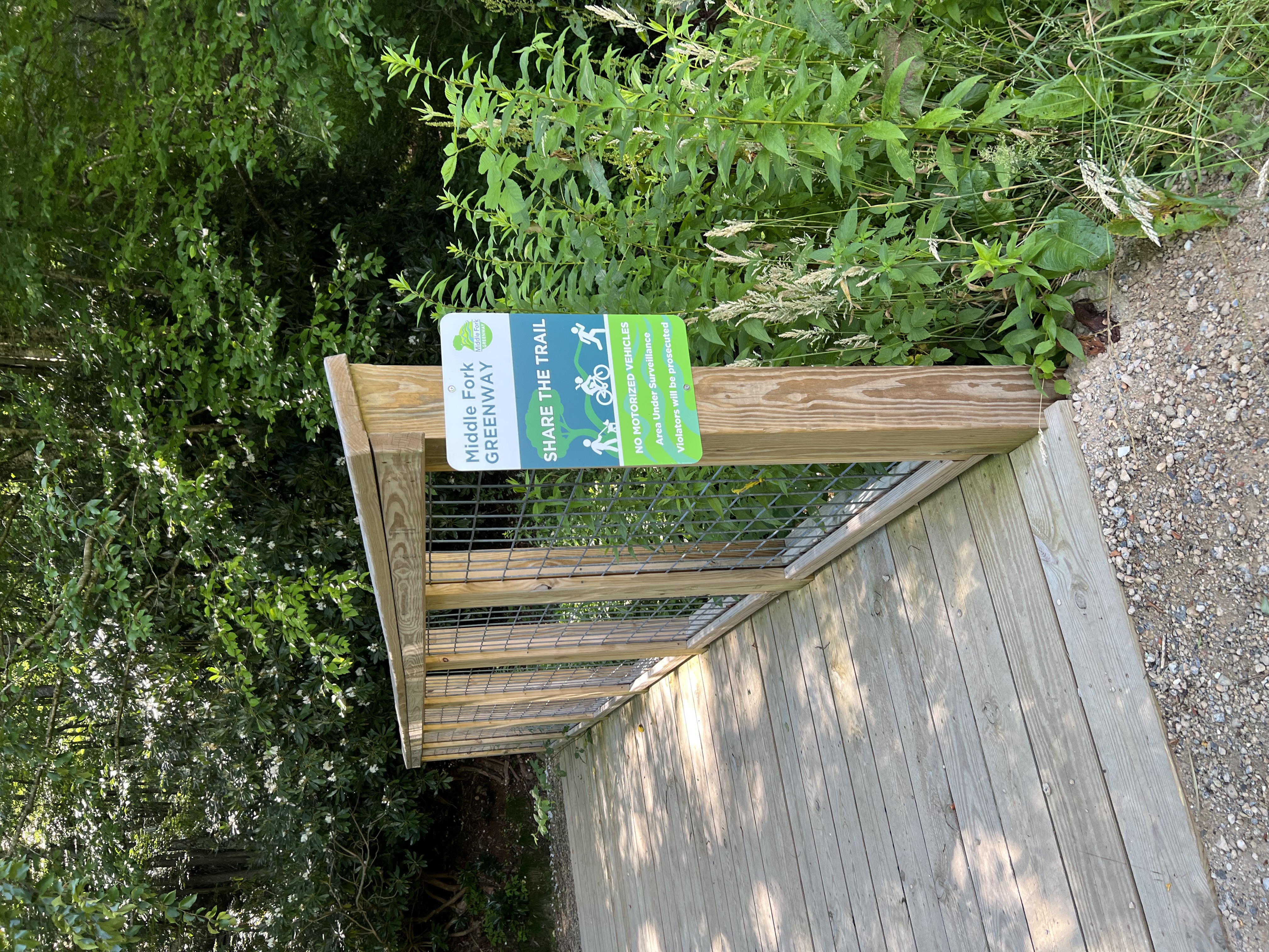
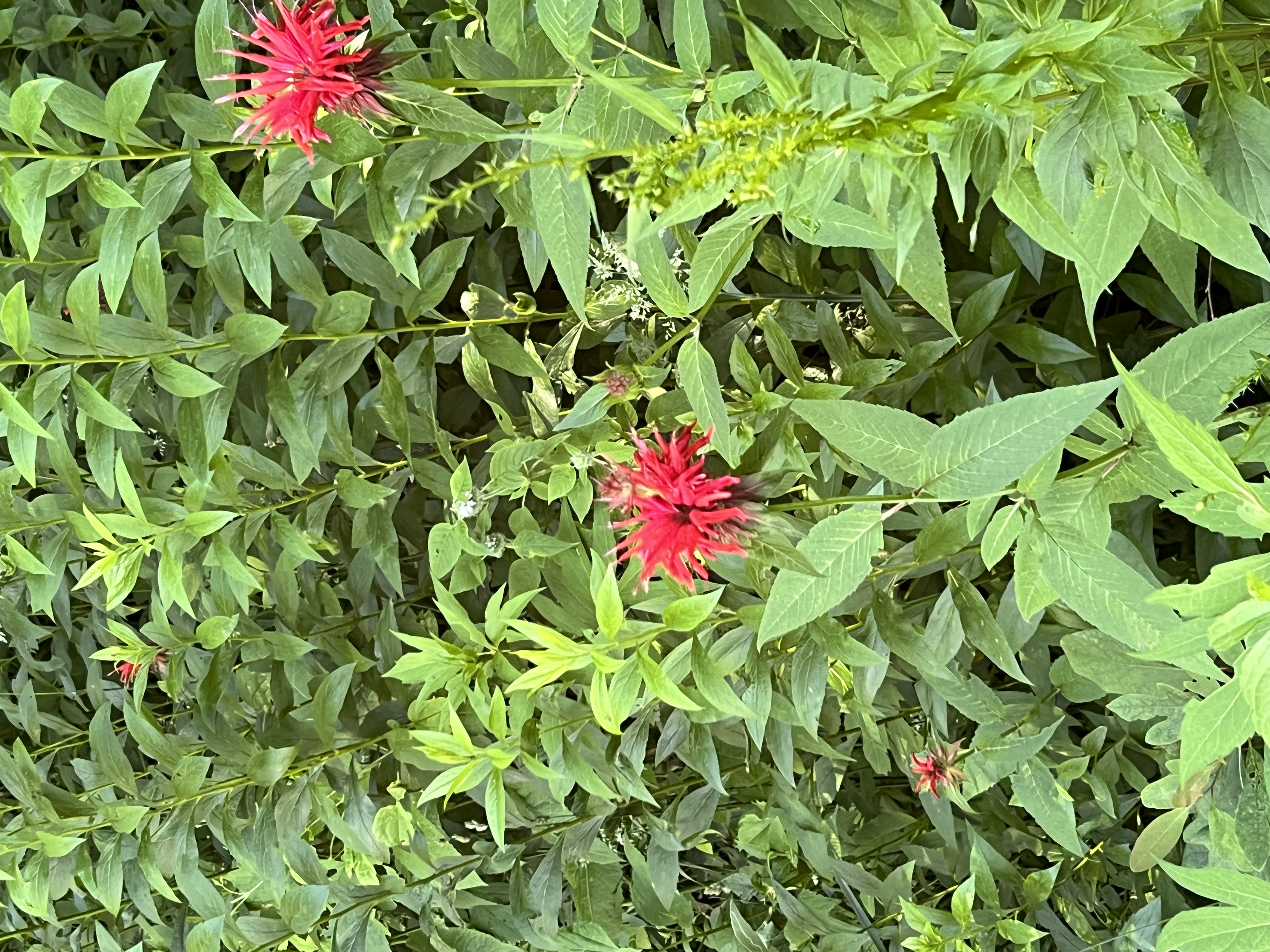
This section of the Middle Fork Greenway is located right off of 321 between Blowing Rock and Boone. It has ample parking and a very noticable trailhead. To start there are two bridges going in opposite directions. If you take the bridge to the left, the trail is short. It almost immediately begins to cross private property, however, it is very beautiful. It follows the river and there are lots of flowers and birds. This portion of the trail ends at a parking lot and only lasts about 0.2 – 0.4 miles. Then you can walk back to the trailhead and take the bridge to the right. This one is longer, approximately 0.7 miles, and changes surfaces from paved to a wide gravel trail. It is all well maintained.
Trail Length: About 1 mile one way
Difficulty: moderate to strenuous
Surface: Partially Paved, then a wide gravel trail
Trail Use: hiking, biking, and leashed dogs okay
Blaze: N/A (Signage posted along the trail)
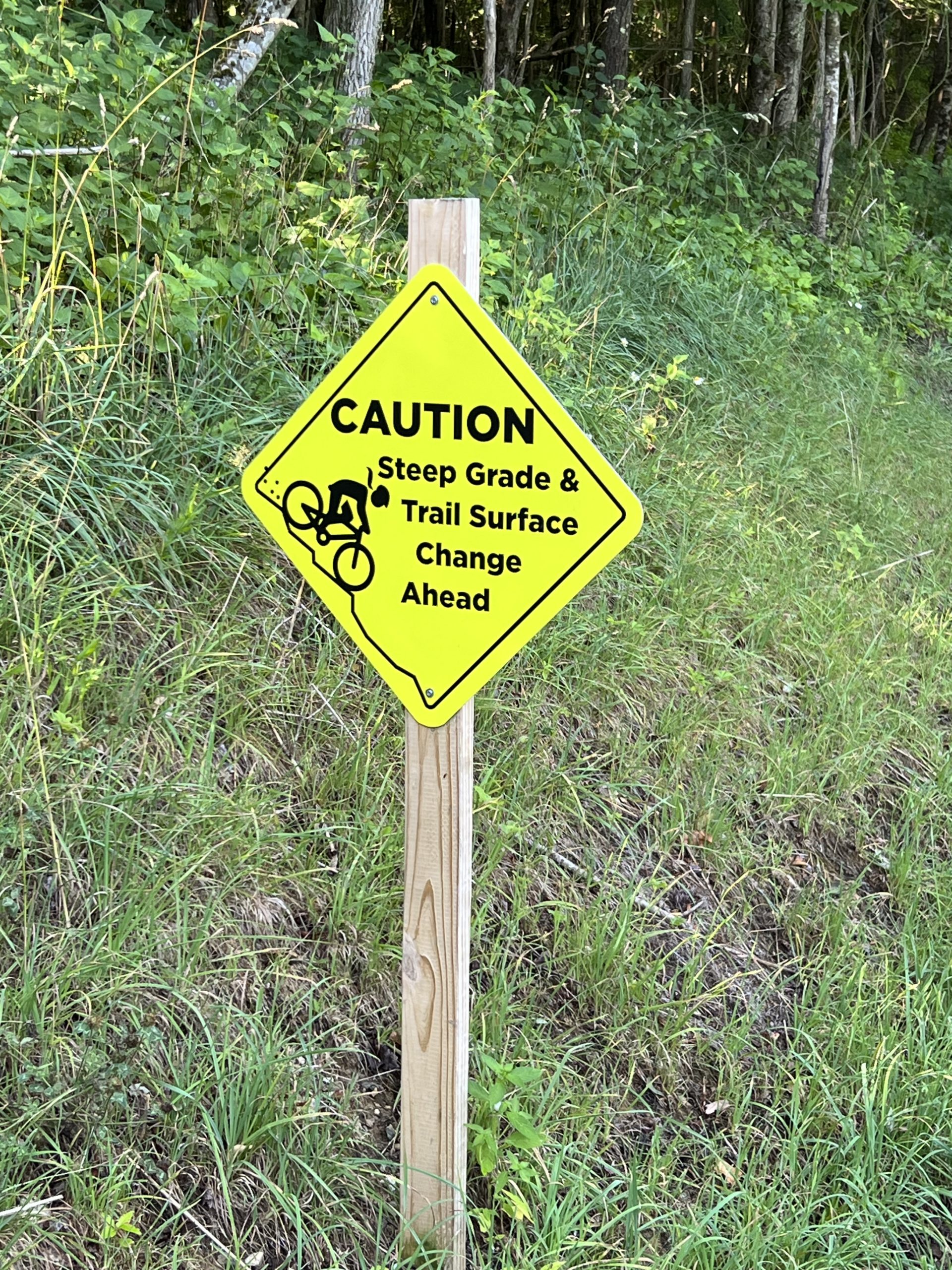
Once the trail changes from pavement to gravel, it begins a steep ascent. At the top of the ascent there are rocks sticking out of the side of the mountain that are good for sitting and resting. The trail then evens out for a bit before descending towards the field next to the QP station, and across from Tweetsie Railroad. Due to the up and down nature of the trail, it is quite literally uphill both ways. This time of year, the trail was lined with blooming Rosebay Rhododendron and long wispy grass on either side. A couple of times a cheeky chipmunk ran across the trail just ahead. It was also primarily shaded after the surface changed. There are a couple of low bridges to cross as well, but everything is sturdy and relatively new on this portion of the trail.
Getting There:
This section of the Middle Fork Greenway is located right off of 321. From Blowing Rock, take 321 towards Boone. Pass Tweetsie Railroad on the left and the QP (Quality Plus) Station on the right. Round the next curve then start looking for the pull off on the right. Pass Birdie’s Coffee on the right, and the pull off will be the next one. It is paved and enters a large parking lot.
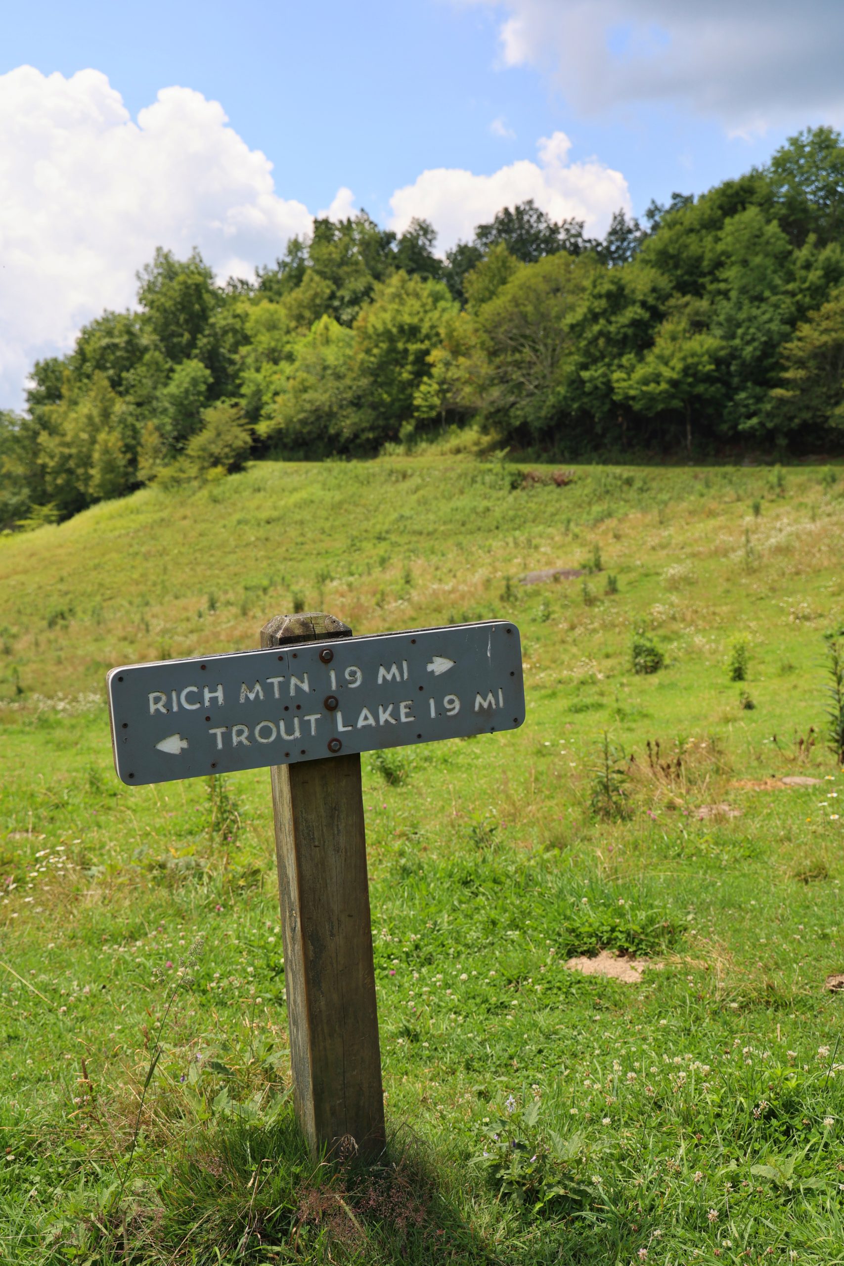
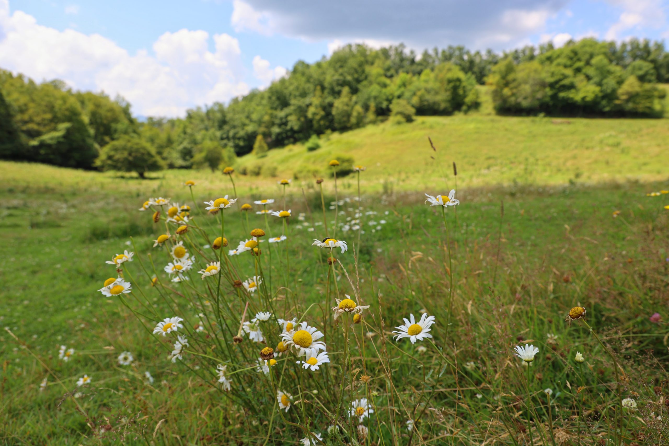
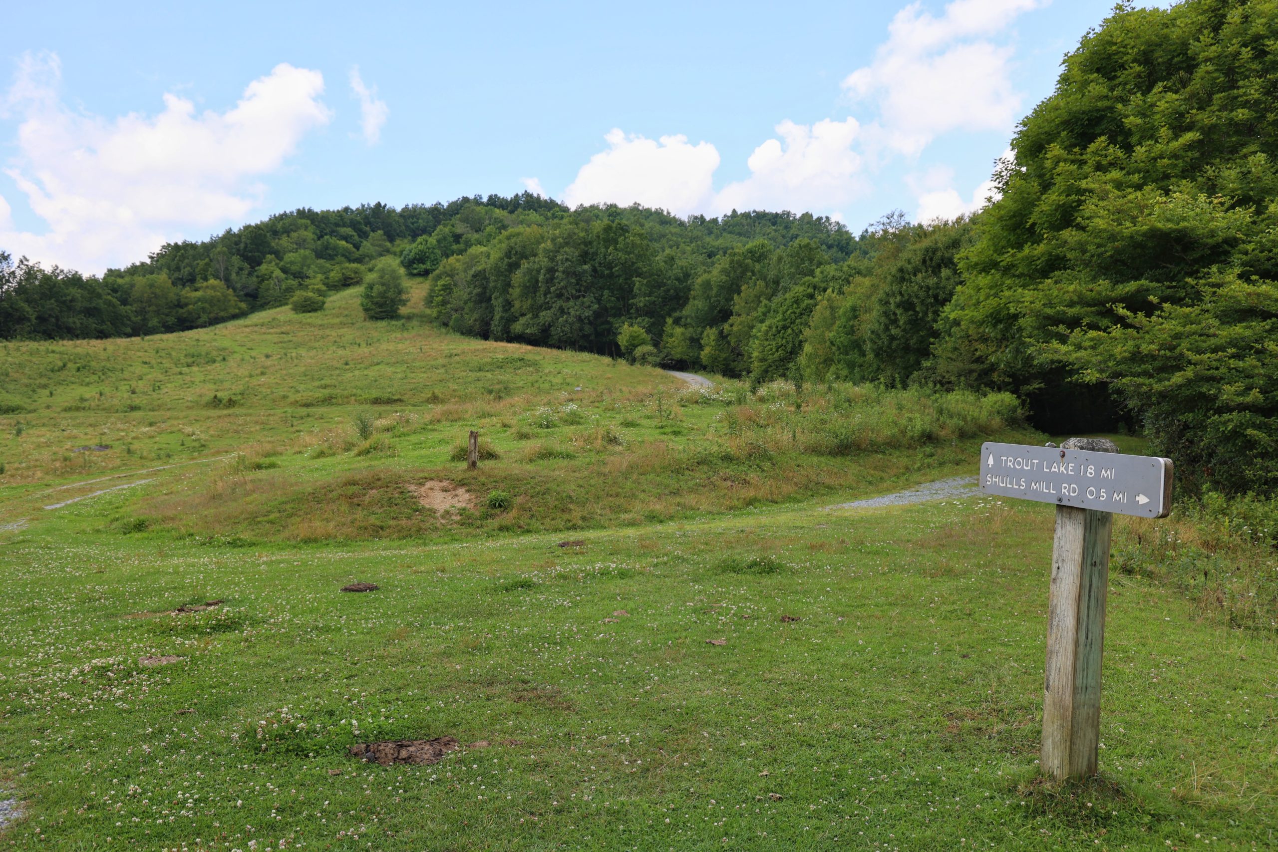
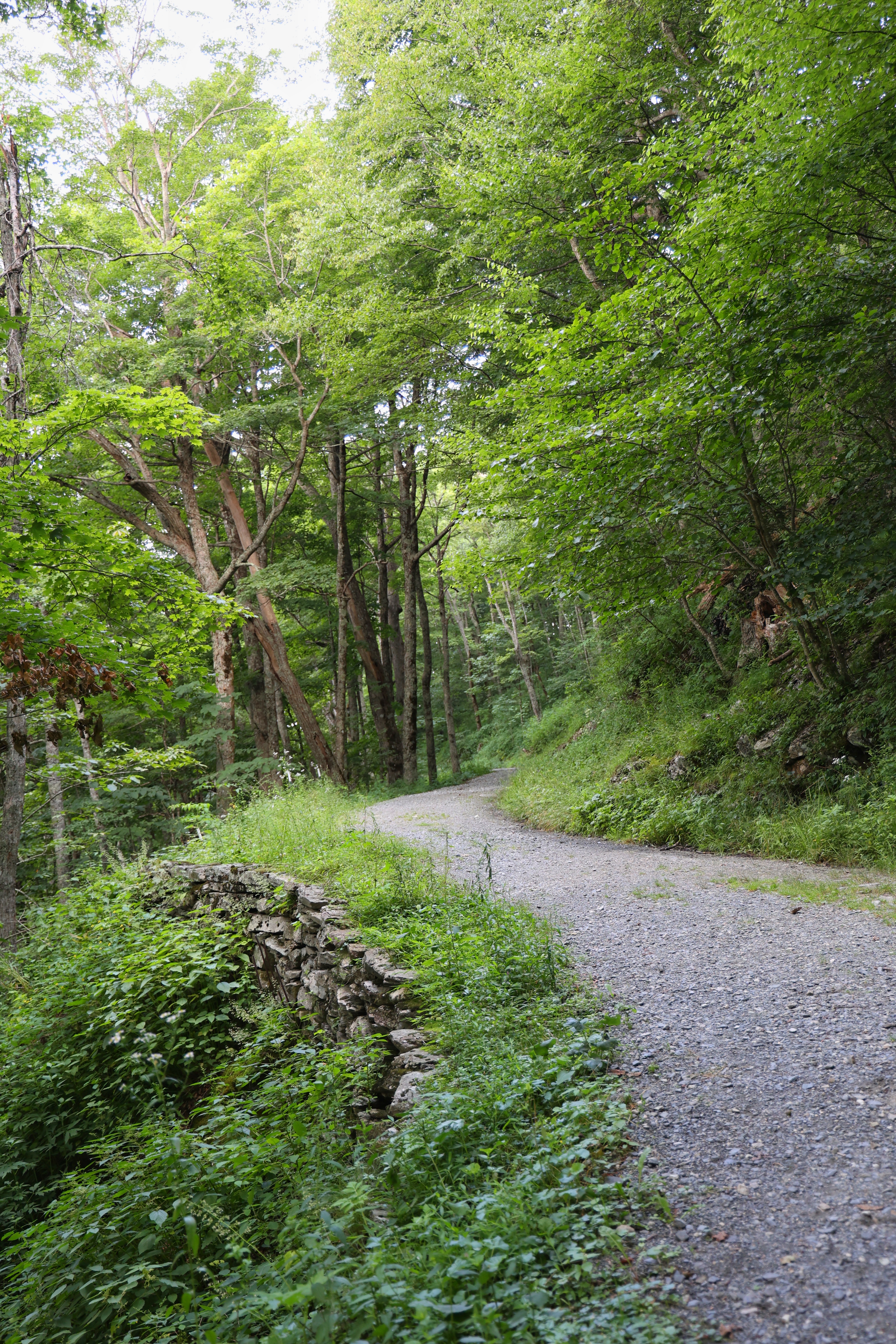
Cone Trails – Rich Mountain
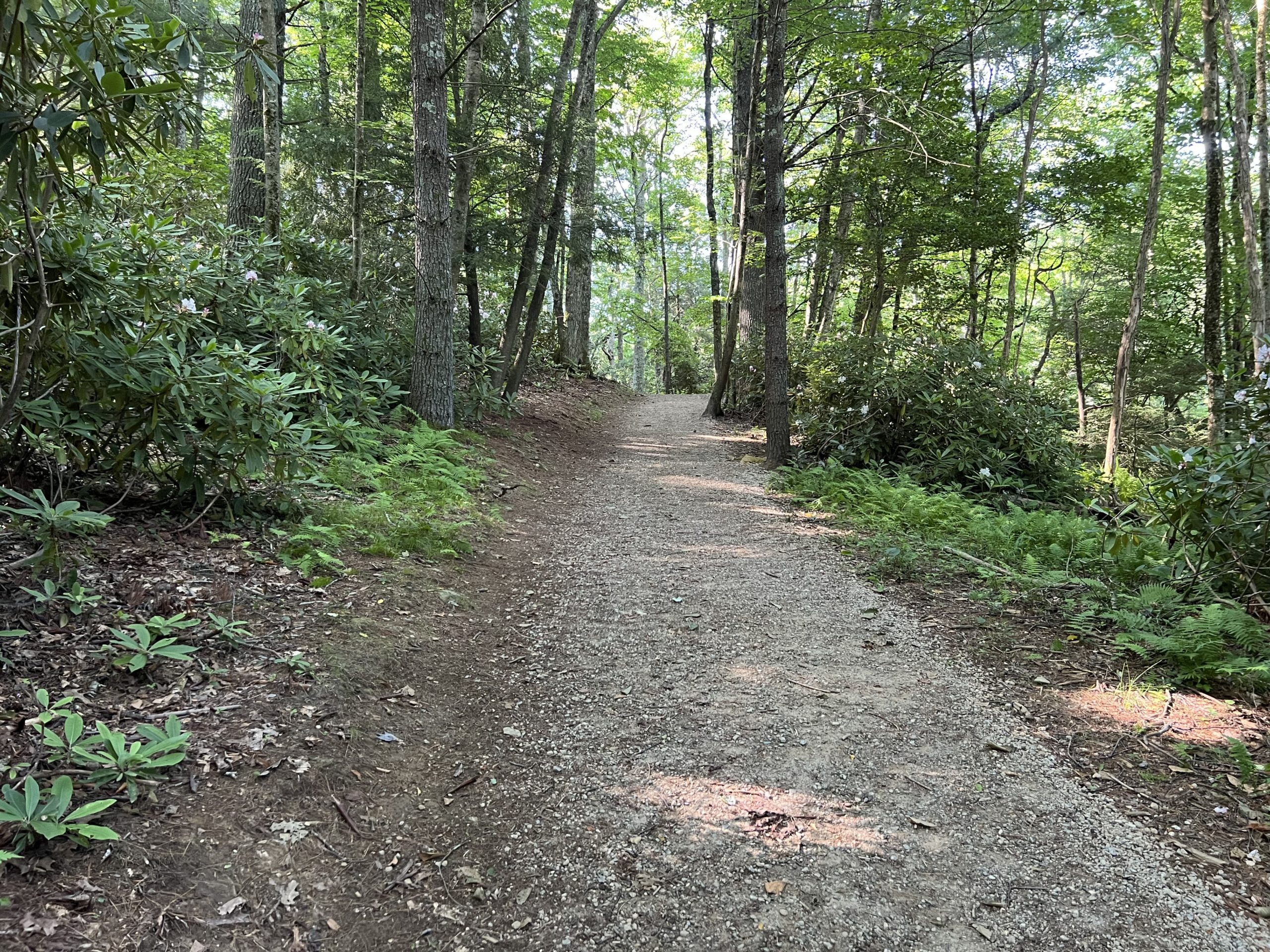
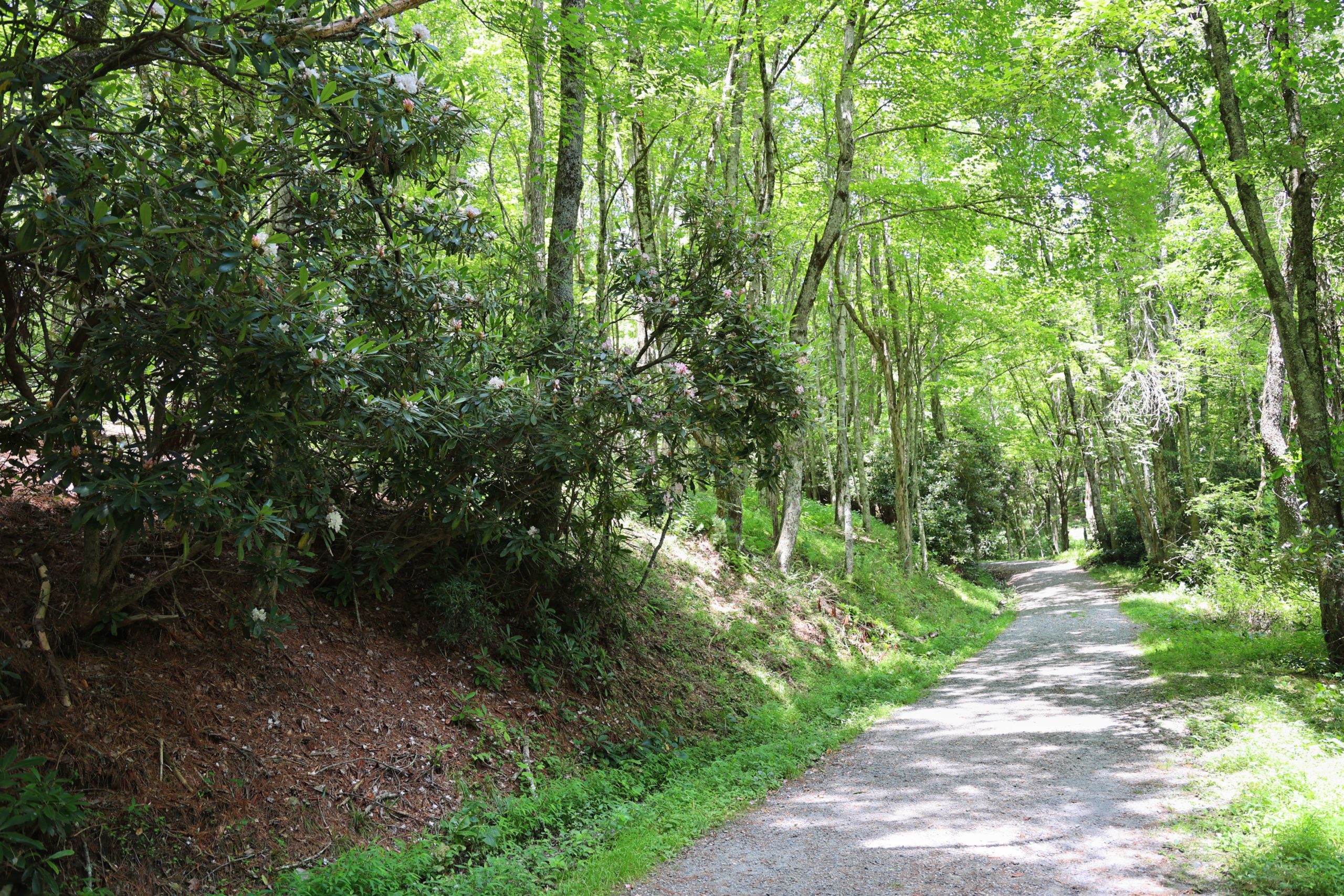
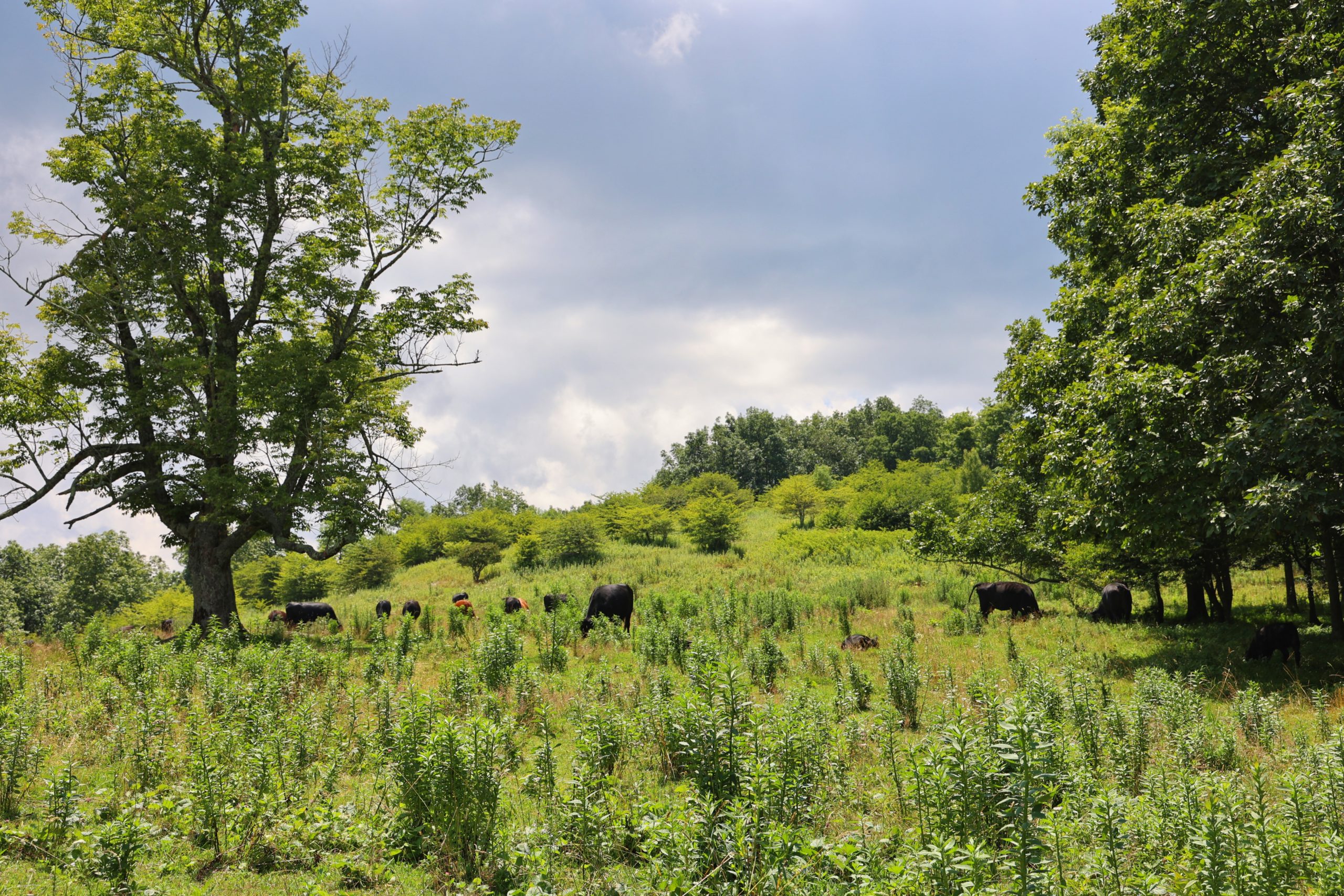
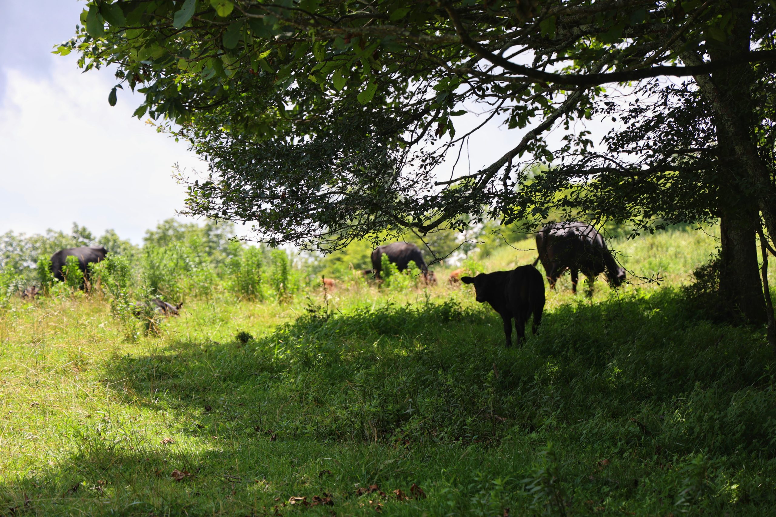
This trail is five miles long so it is great for someone looking for some exercise. The length is what makes it moderate difficulty, otherwise it is a fairly easy walk. We would recommend hiking sticks as the first half mile of the trail is uphill. This trail is also used for horseback riding so seeing horses is likely and dogs must be kept on leash at all times. We also encountered cattle in one of the fields on this hike so be prepared for that and again, please keep dogs on a leash. This trail is a great place for a picnic as there are plenty of fields and wide open spaces. This means that there is not a lot of cover should it rain, so keep that in mind as well when choosing this hike and be prepared appropriately.
Trail Length: 5 mile loop
Difficulty: Easy to Moderate
Surface: gravel with some natural field crossing
Trail Use: Hiking, horseback riding, leased dogs ok
Blaze: N/A Clear Signage posted on trail
Getting There:
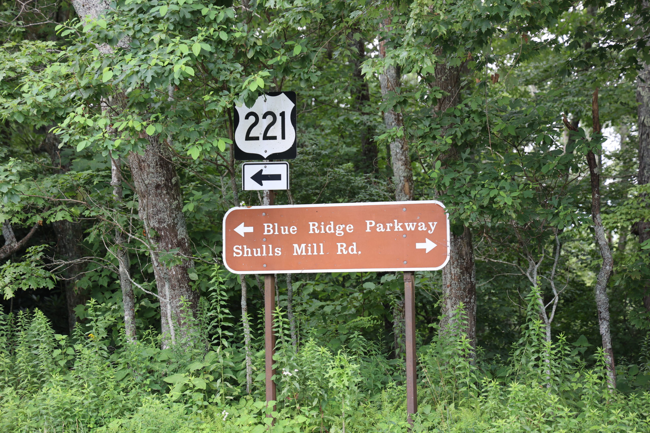
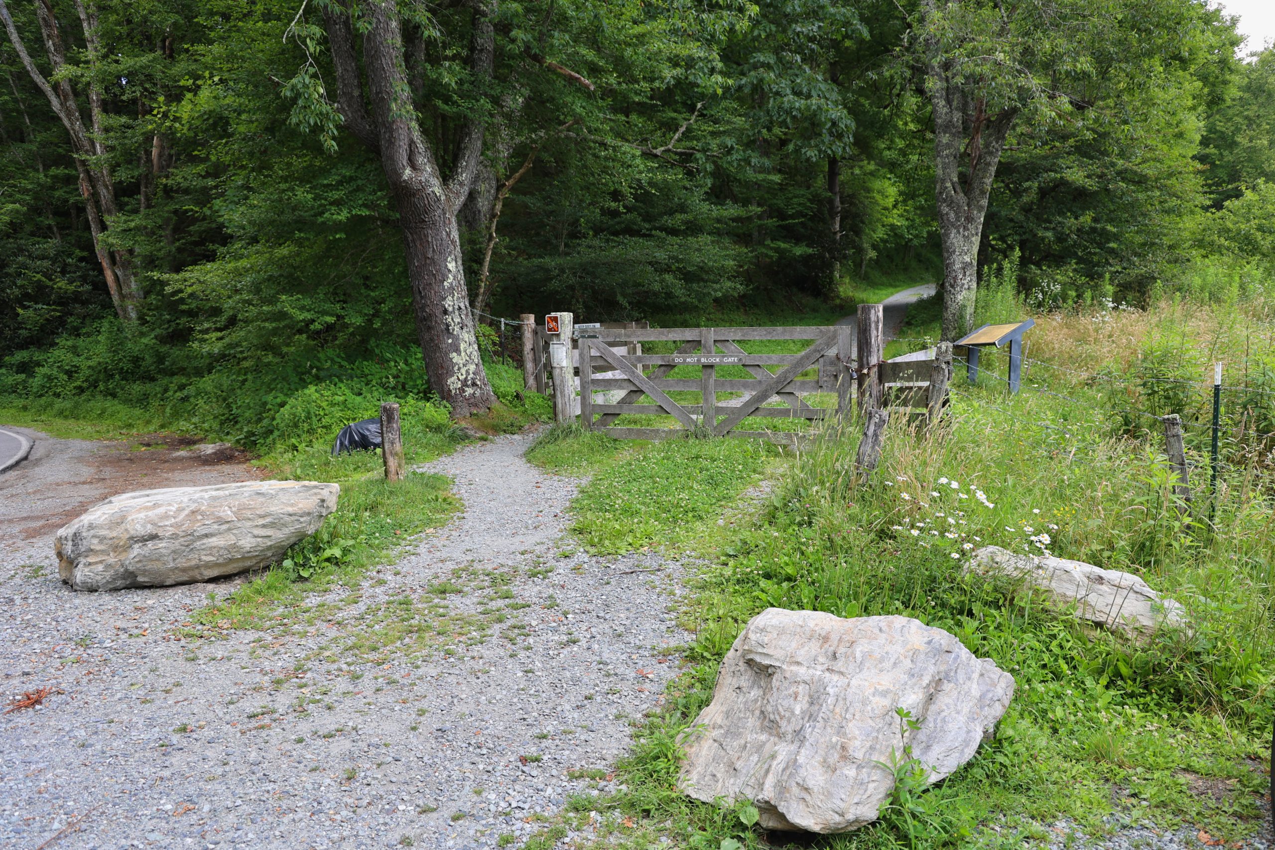
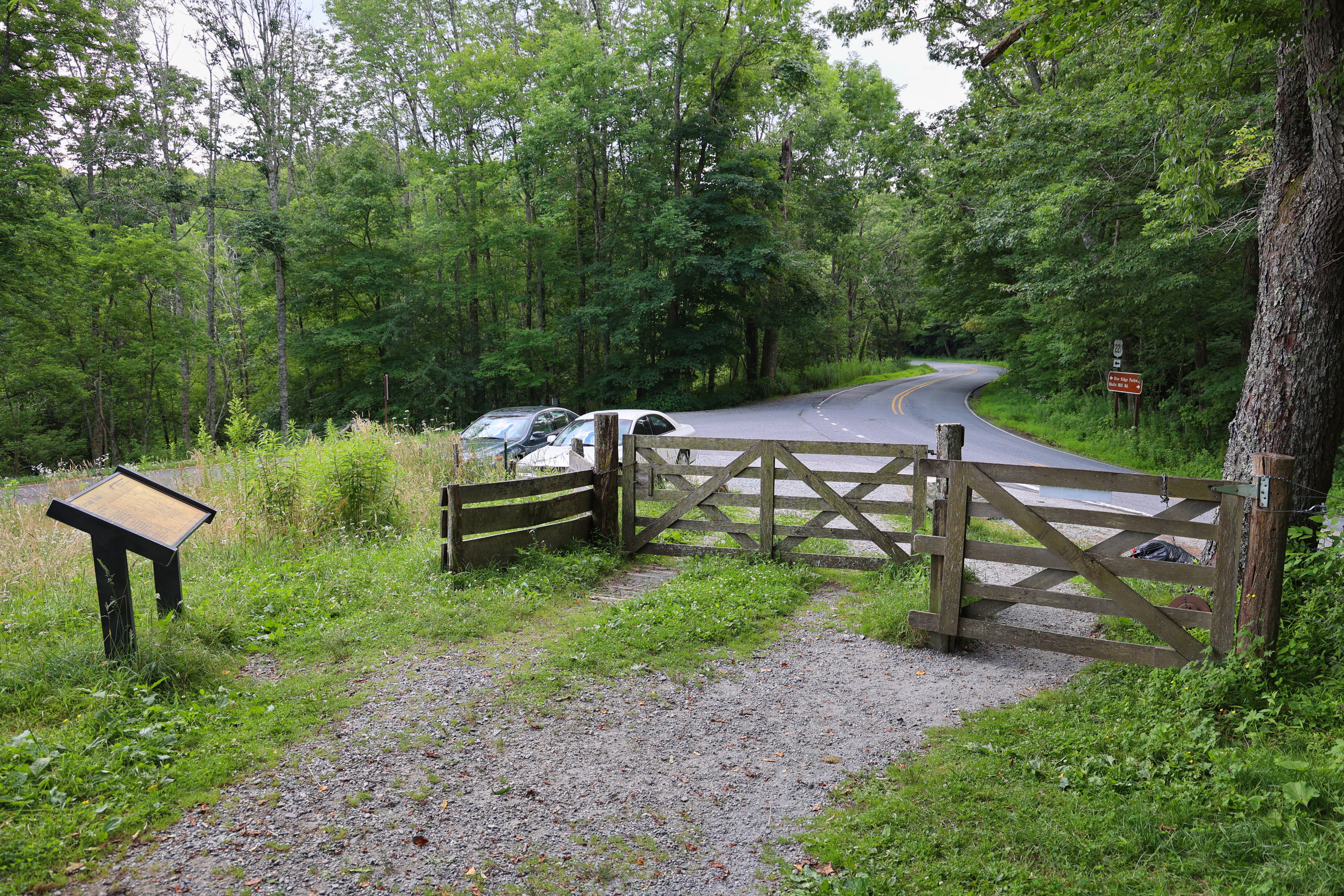
From Blowing Rock, turn onto 221 heading towards Linville. Make a right towards the Blue Ridge Parkway, then turn left onto Shulls Mill Rd. Drive approximately 5 minutes on Shulls Mill Rd. Pass Trout Lake on the right and the parking is just at the exit of Trout Lake’s parking area. If the parking is full, you can easily park at Trout Lake and access this trail.
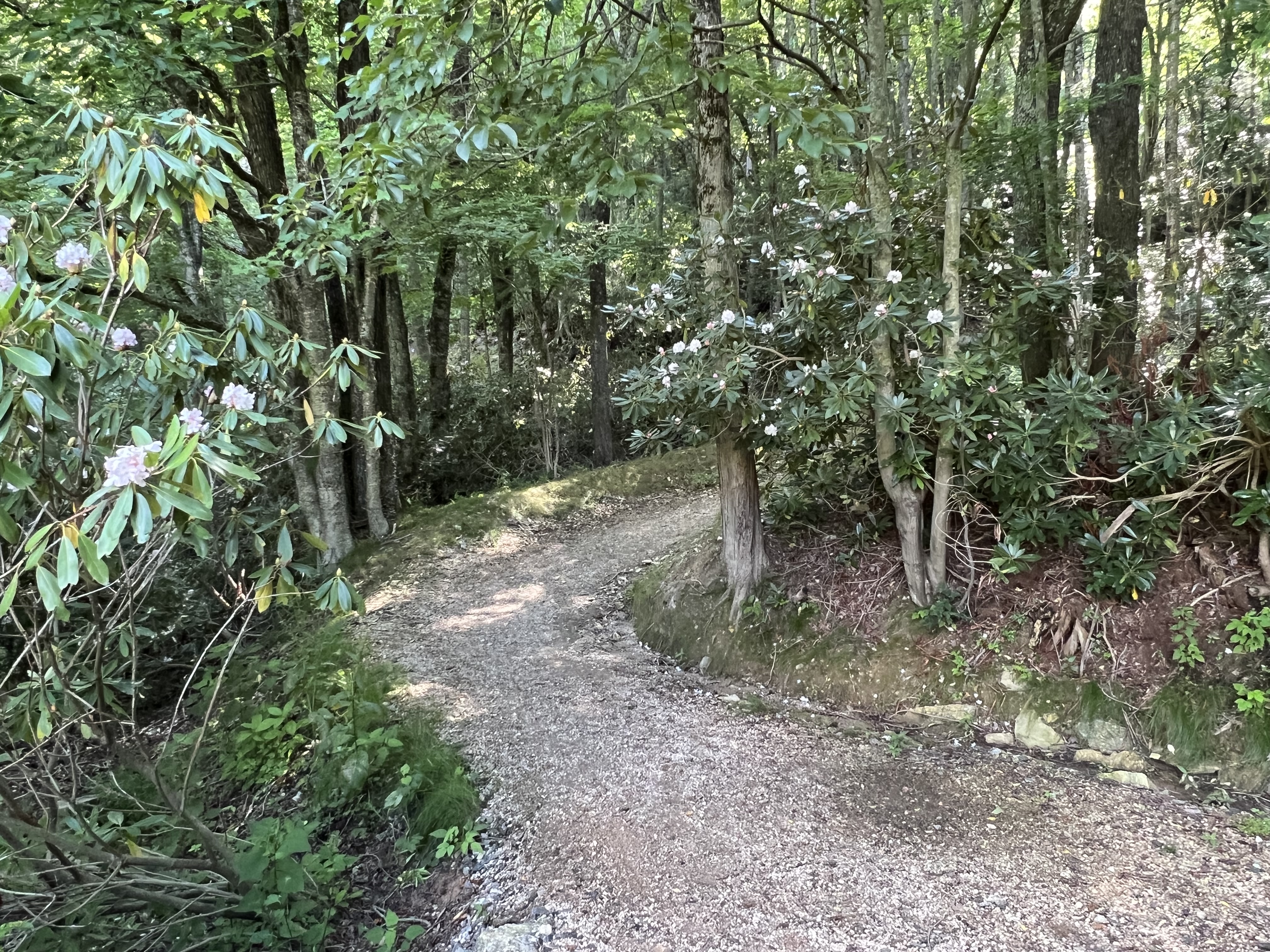
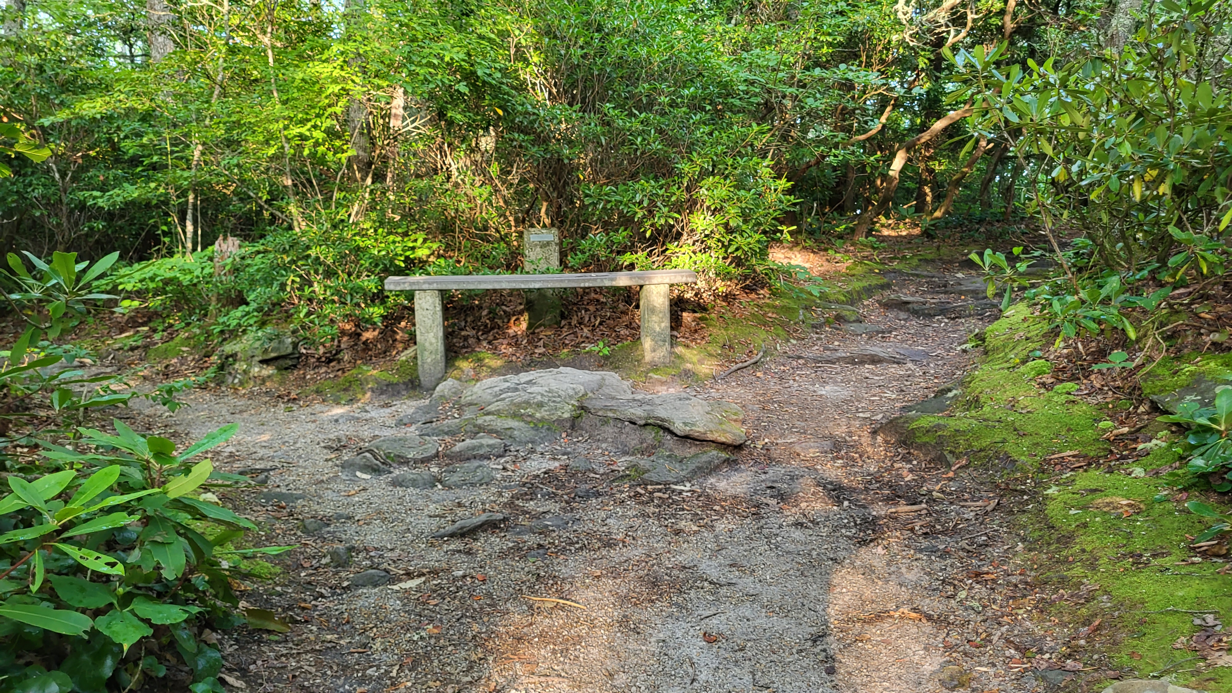
Tanawha Trail- Stack Rock to Beacon Heights
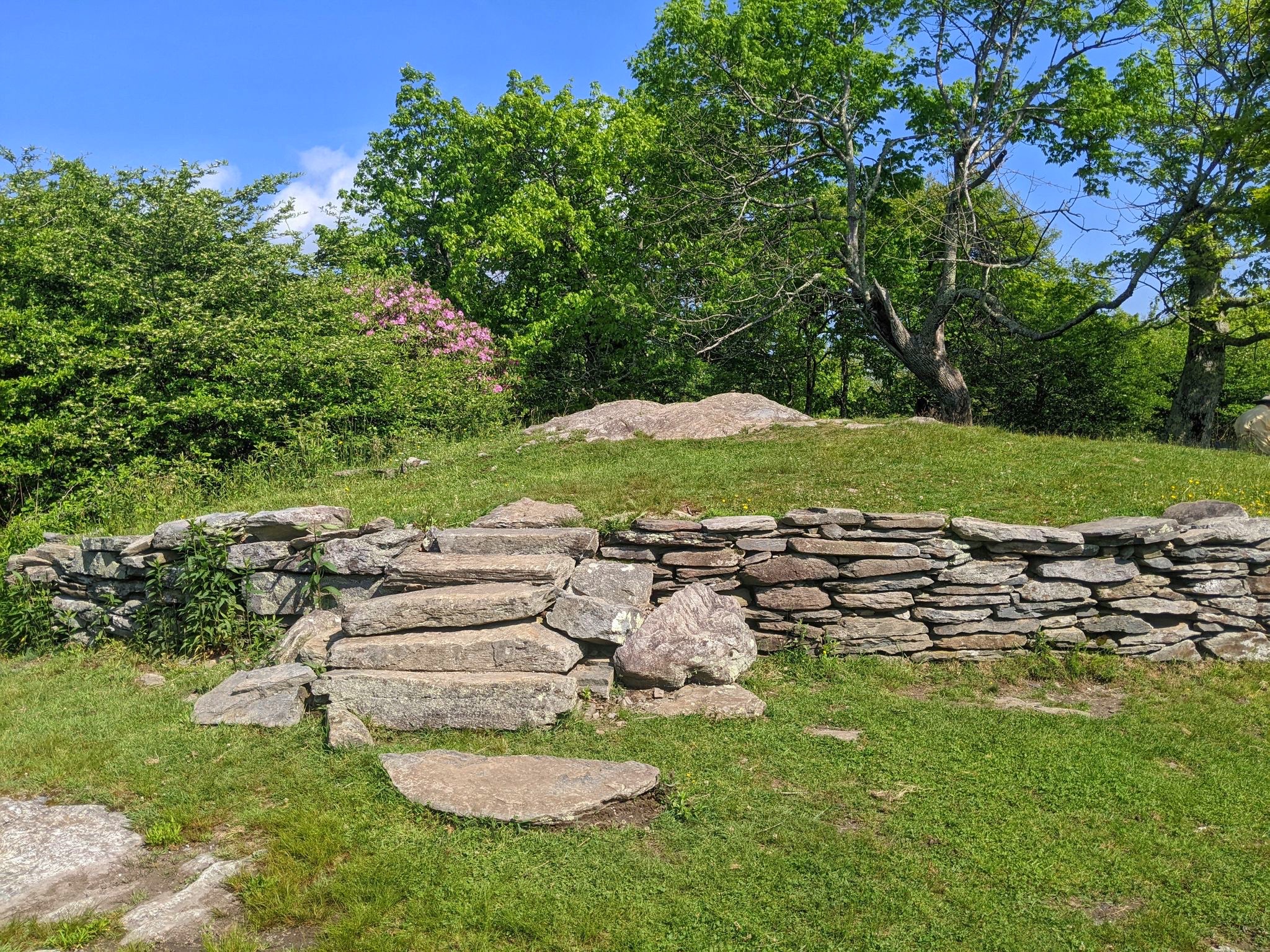
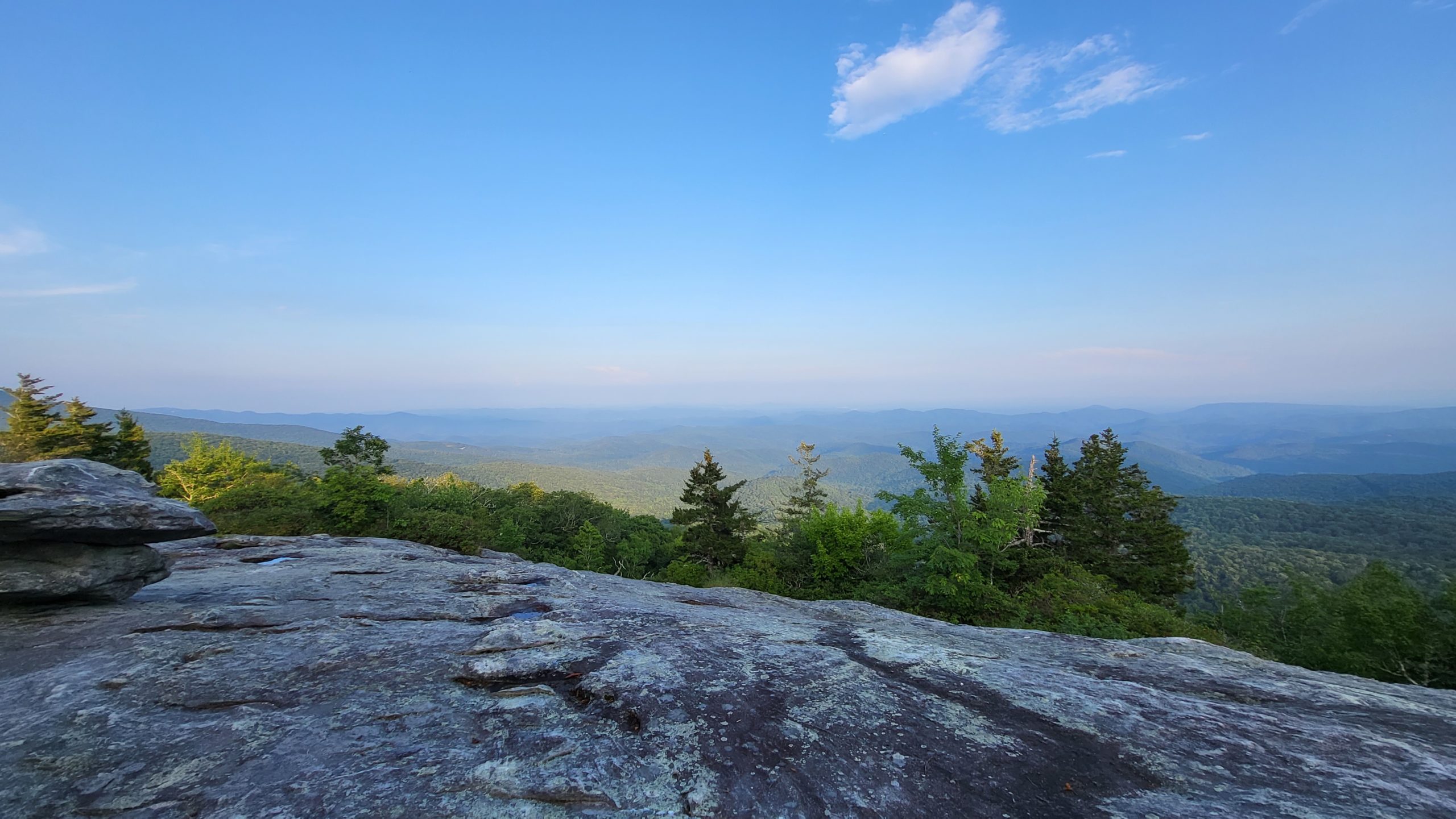
This portion of the Tanawha Trail is the most southern section of the 13.5 mile trail. Over less than one mile, this section winds through hardwood and conifer forests and over shaded, rocky slopes to access vast views of the Pisgah Forest. While the view at Beacon Heights is often accessed by a short hike from the Beacon Heights parking area, this route extends the path to enjoy more varied terrain and time on the trail. The distance is still easy to accomplish for a satisfying hike.
Trail Length: 0.8 miles, plus additional 0.2 miles to view (2 miles out-and-back)
Difficulty: Easy to Moderate
Surface: dirt and rock
Trail Use: hiking, leashed pets ok
Blaze: white feather
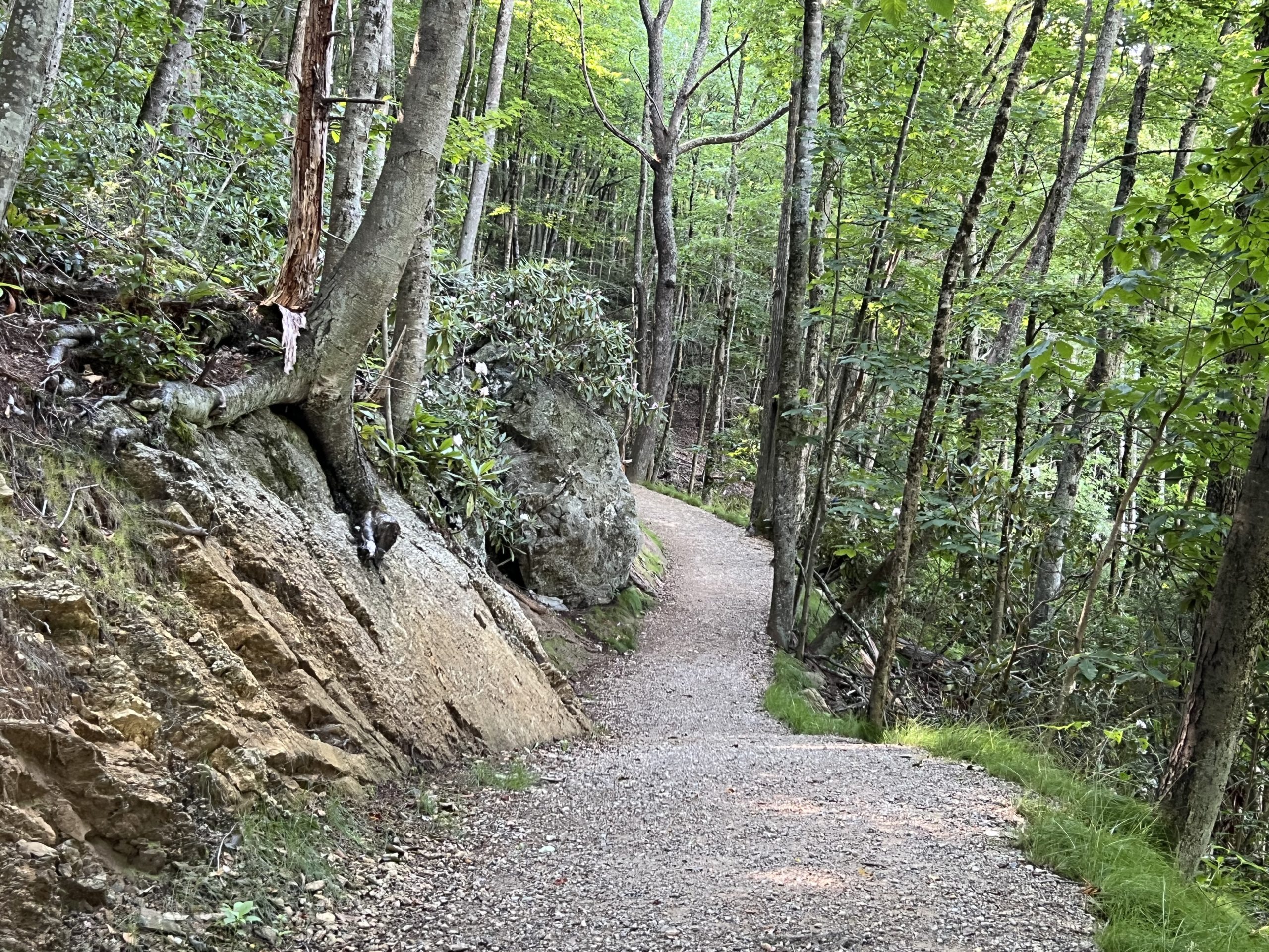
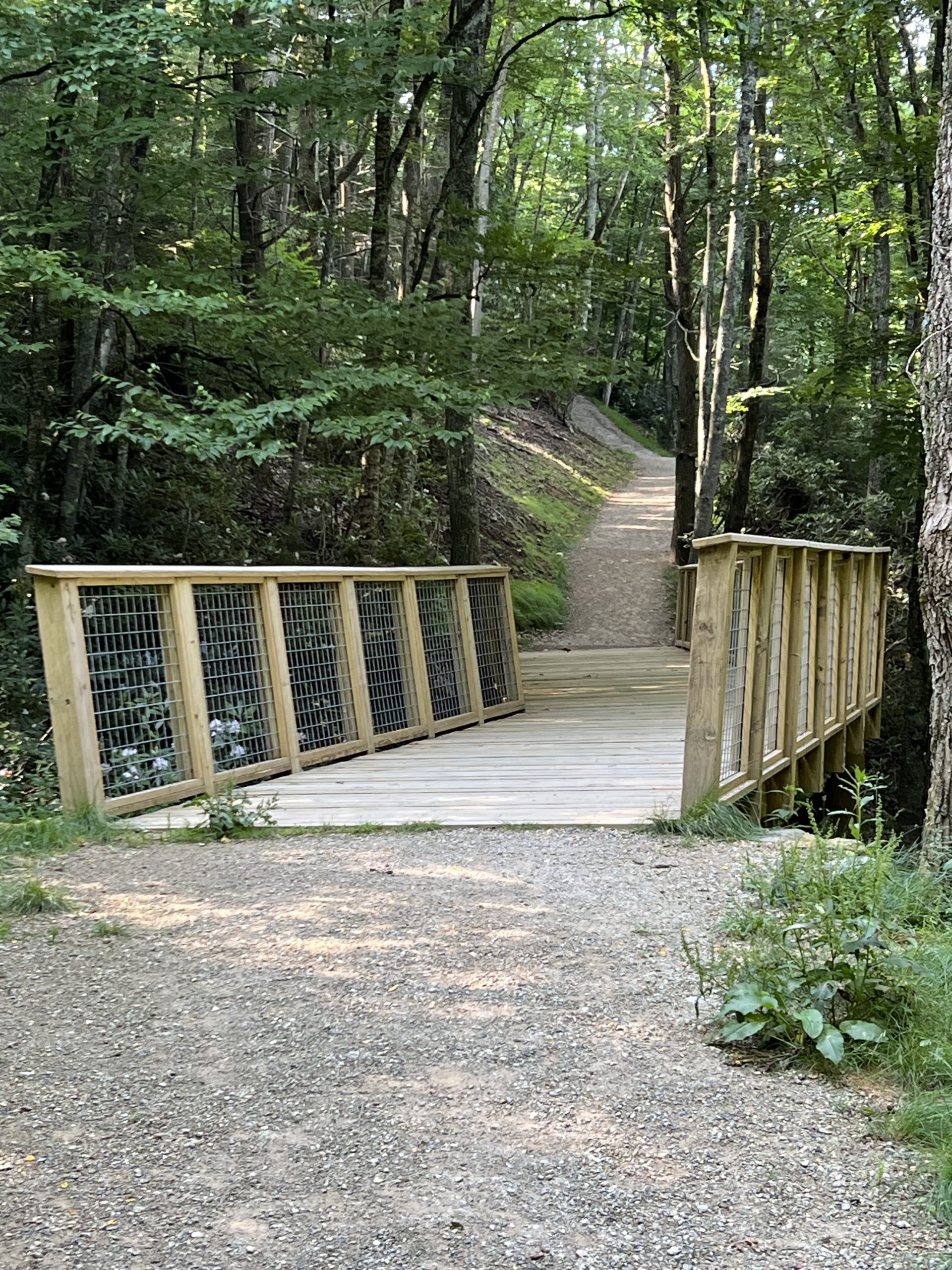
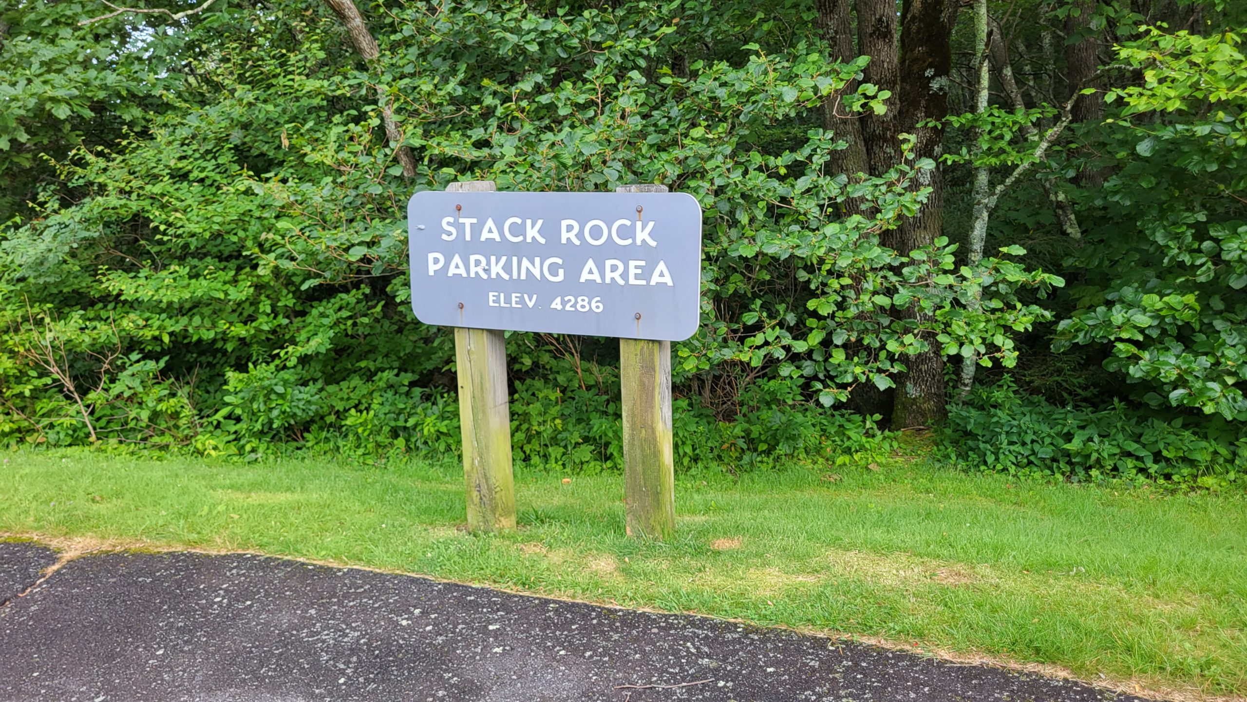
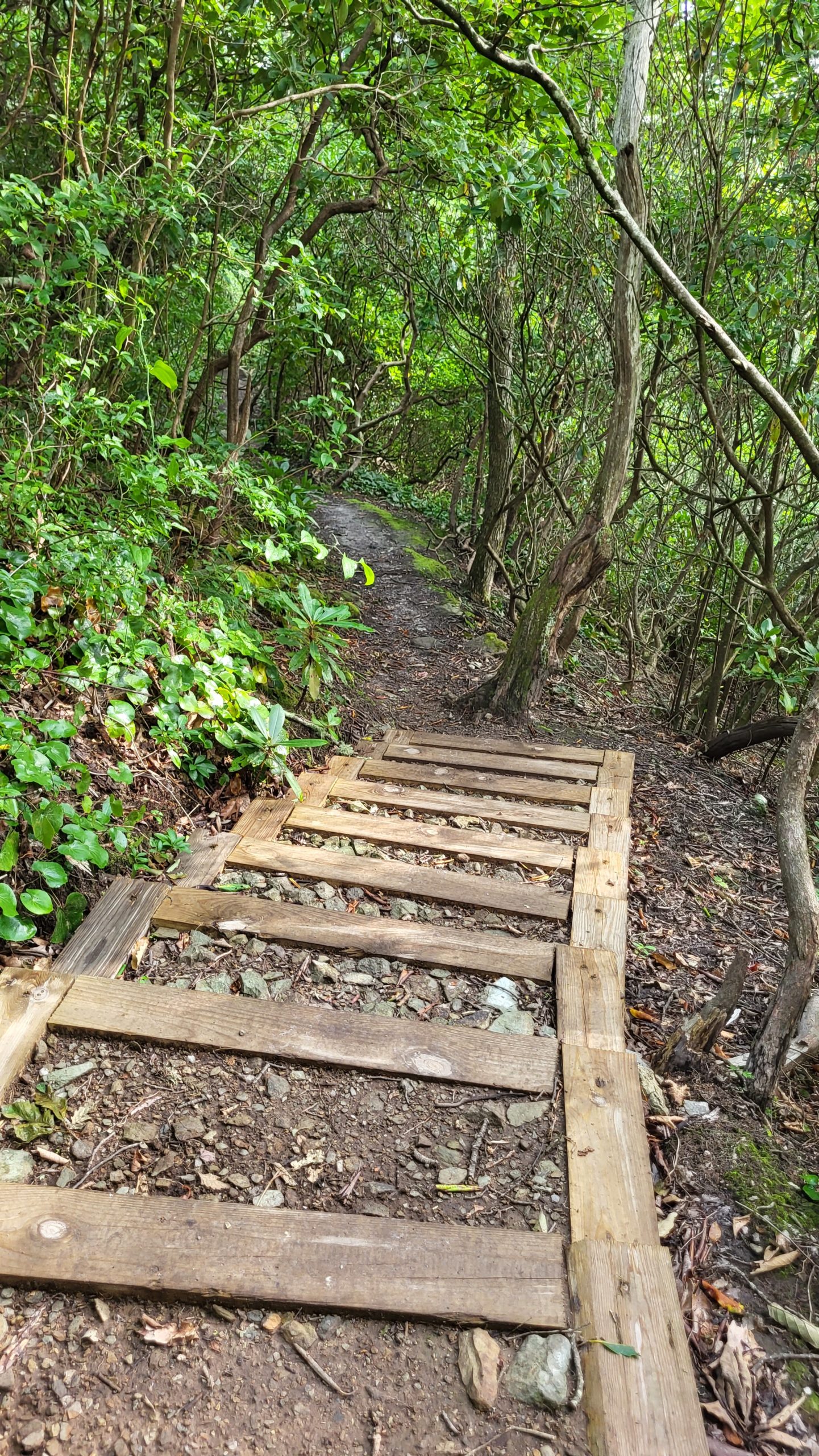
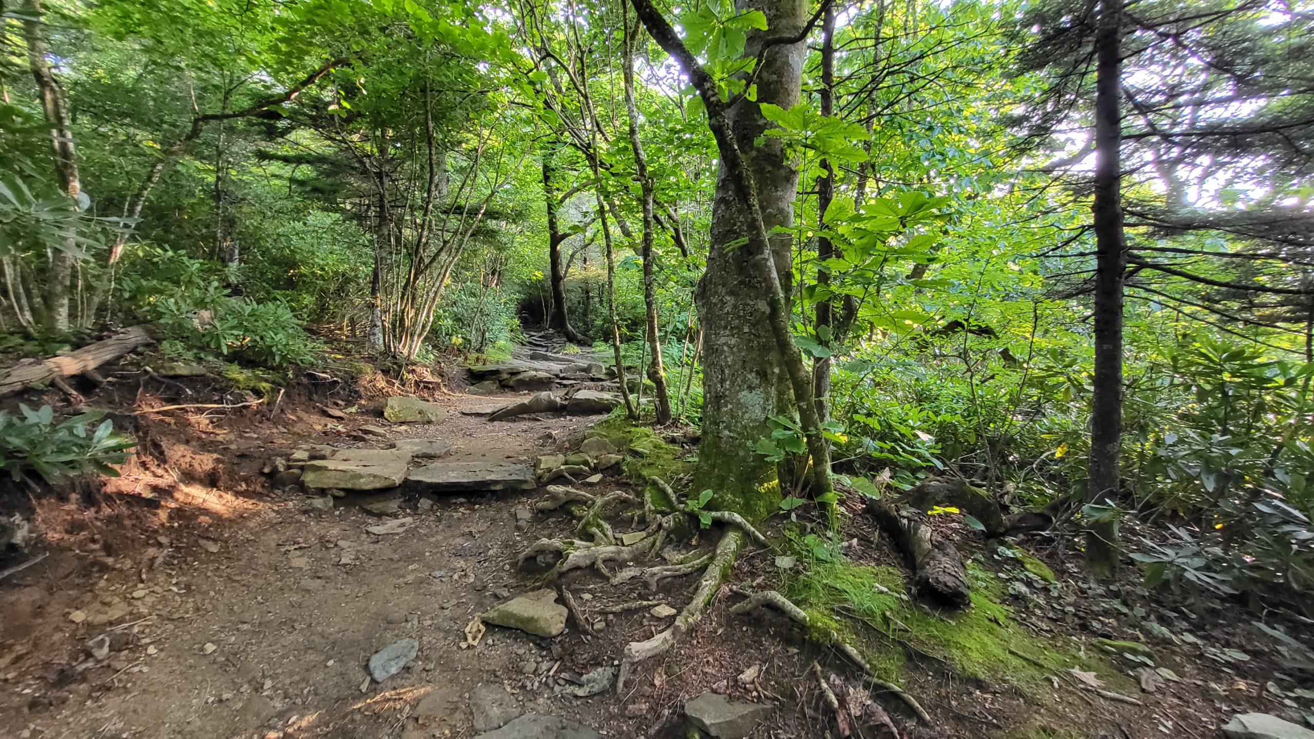
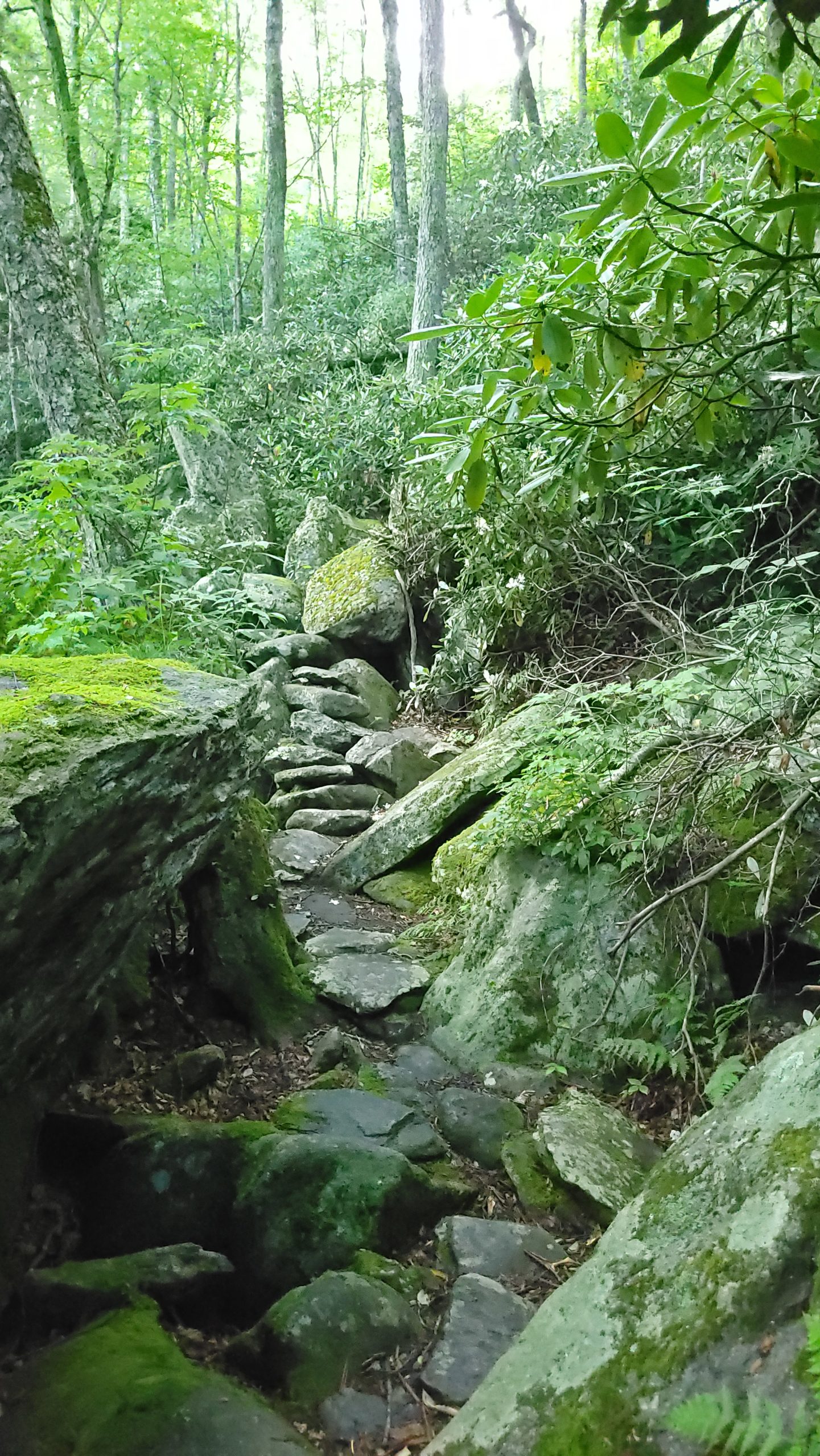
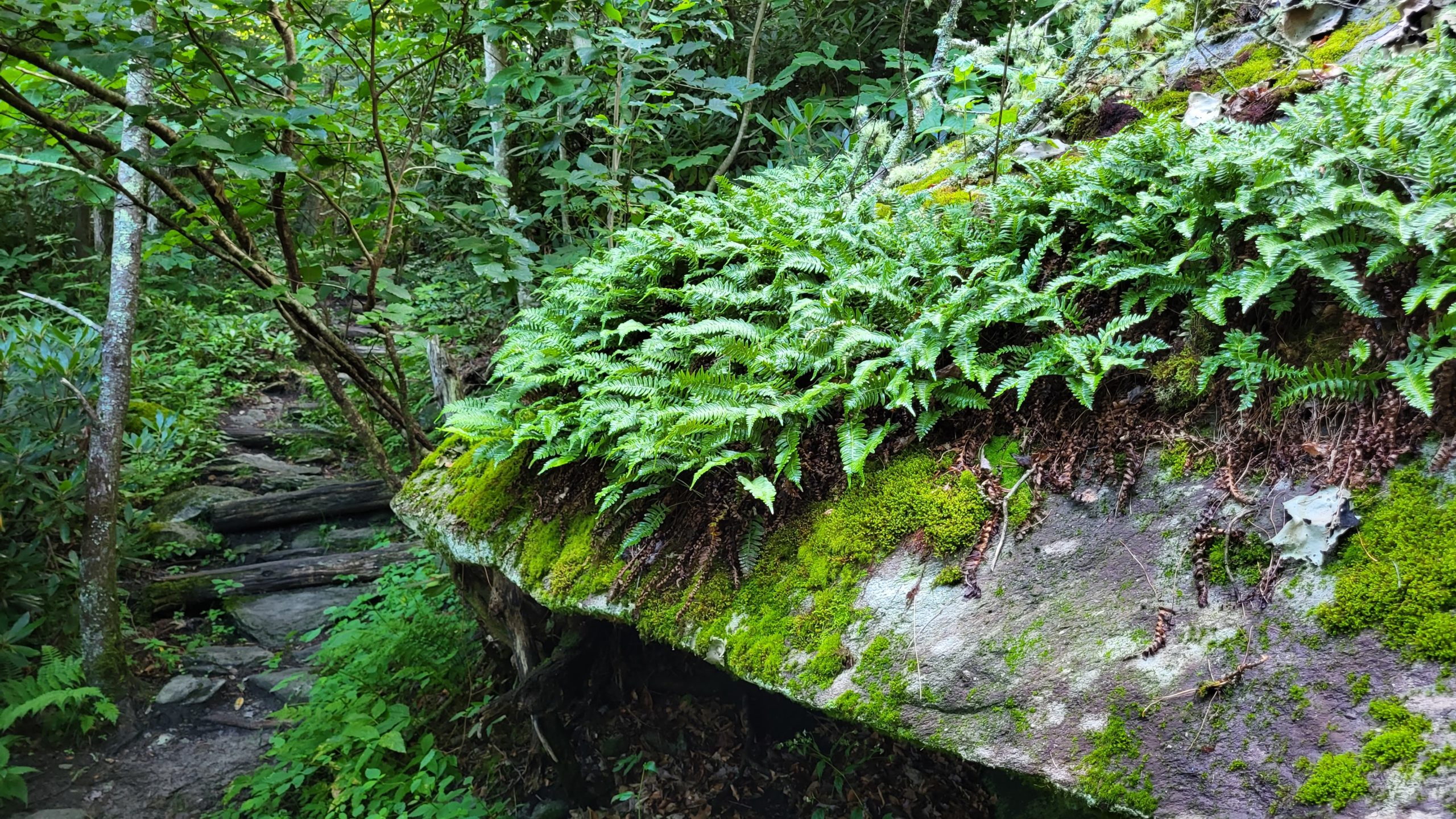
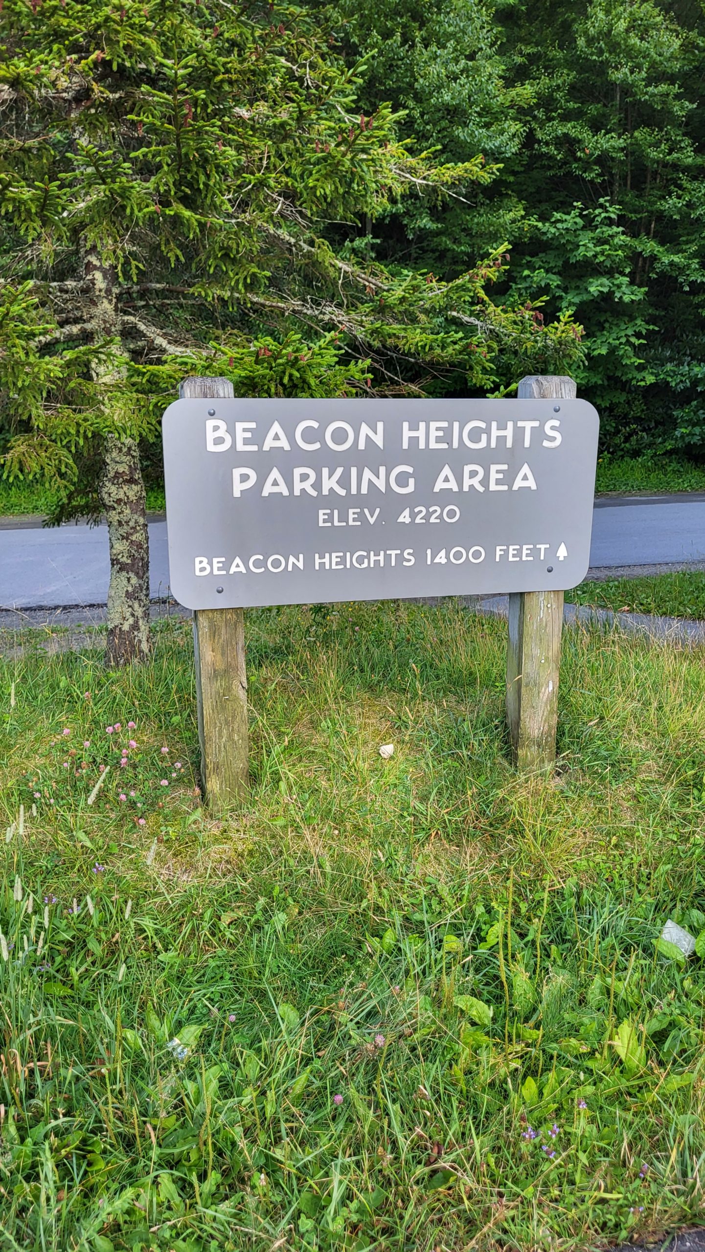
From Stack Rock parking area, signs make navigation easy. The hike starts out with well-worn paths and some short runs of timber steps. The trail slowly transitions to more rocky terrain, tumbling over and between large boulders. About ½ mile in, the trail narrows considerably and appears less-traveled, making the hike feel like an exciting exploration that is rarely enjoyed by others. Two small foot bridges assist travel against the rock walls the support the Parkway above and soon after the path softens, covered with fallen spruce and pine needles as the trail enters a forest dominated by conifers. The trail crosses Highway 221 to continue through evergreens, then gently climbs up to Beacon Heights. The trail becomes rocky again as deciduous trees return, and Tanawha Trail shortly ends at the intersection of the Beacon Heights Trail (also part of the Mountains to Sea Trail) and the spur trail to Beacon Heights parking area. From this signed spot, it’s just 0.2 miles to a wide outcrop of gneiss surrounded by huckleberry bushes, rhododendron shrubs, and young oak & sassafras trees. We took the extra distance to enjoy the view, then made the return trip to our vehicle. Plan about 45 minutes for the trail each way, plus some time to enjoy the view- up to two total hours. Alternatively, if your group can use two vehicles, you can park them at Stack Rock and Beacon Heights parking area to take the trail one way.
Getting There:
Stack Rock parking area is at milepost 305.2 on the Blue Ridge Parkway. From Blowing Rock, take the Blue Ridge Parkway south about 12 miles.