
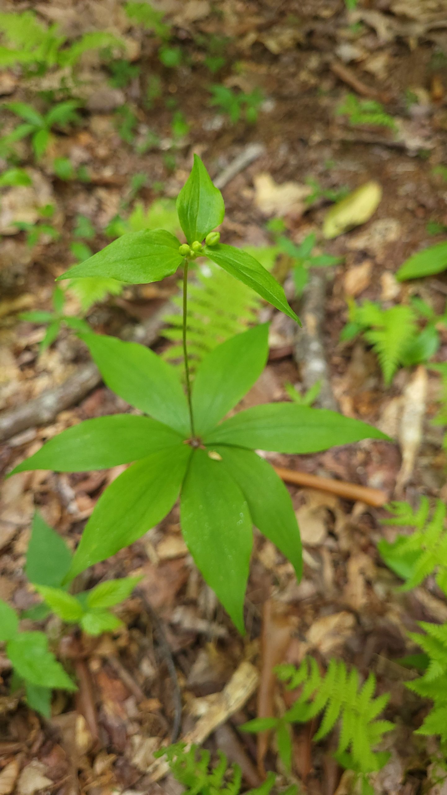
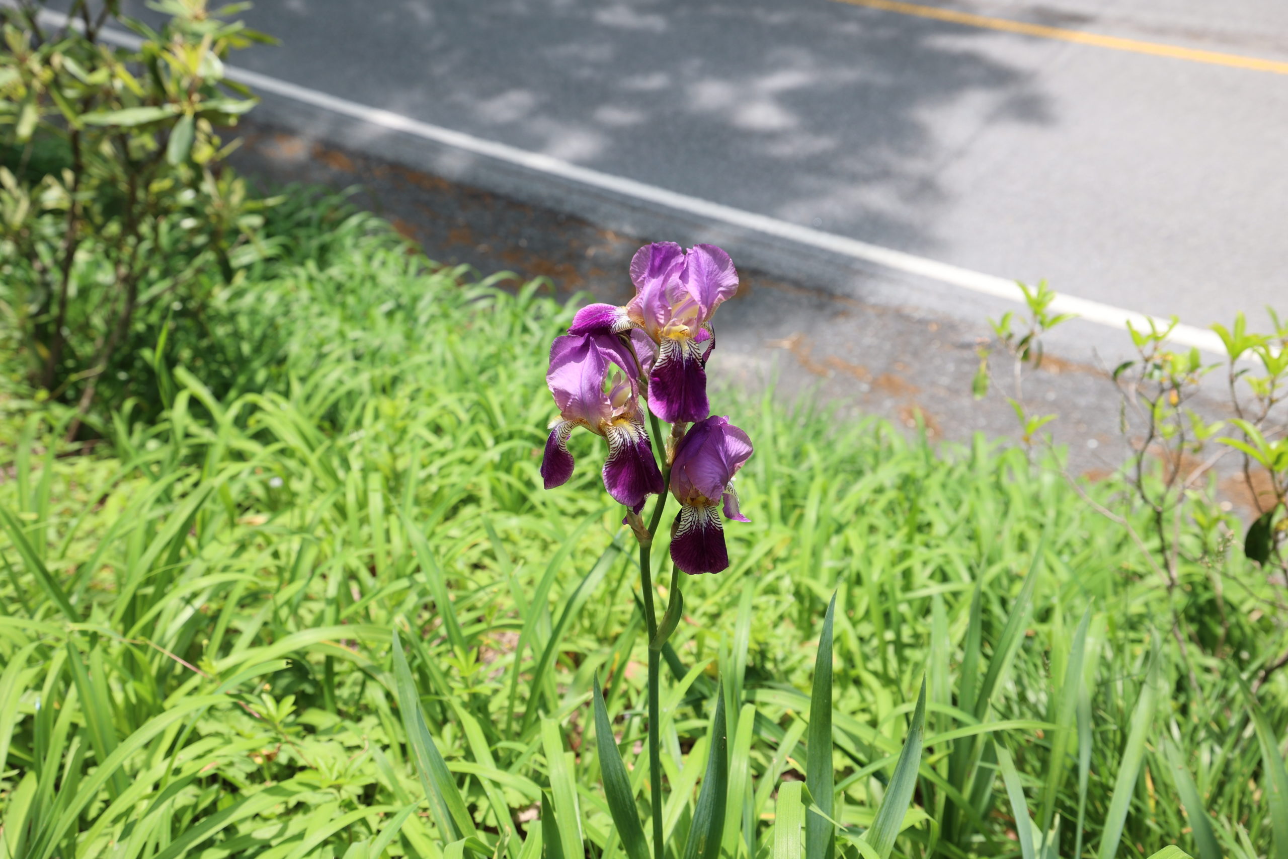
May is a great time to enjoy wildflowers and emerging buds, so we suggest a wide range of locations for the month. A Carriage Trail loop, the Green Knob Trail, a long hike over Rough Ridge, and the downtown Legacy Trail offer incredible variety. As always, please remember to pack plenty of water and snacks, and to do some research before you set out on any hiking experience. Read along below, and see what we’ve been up to in May.
Deer Park to Watkin Rd. Loop
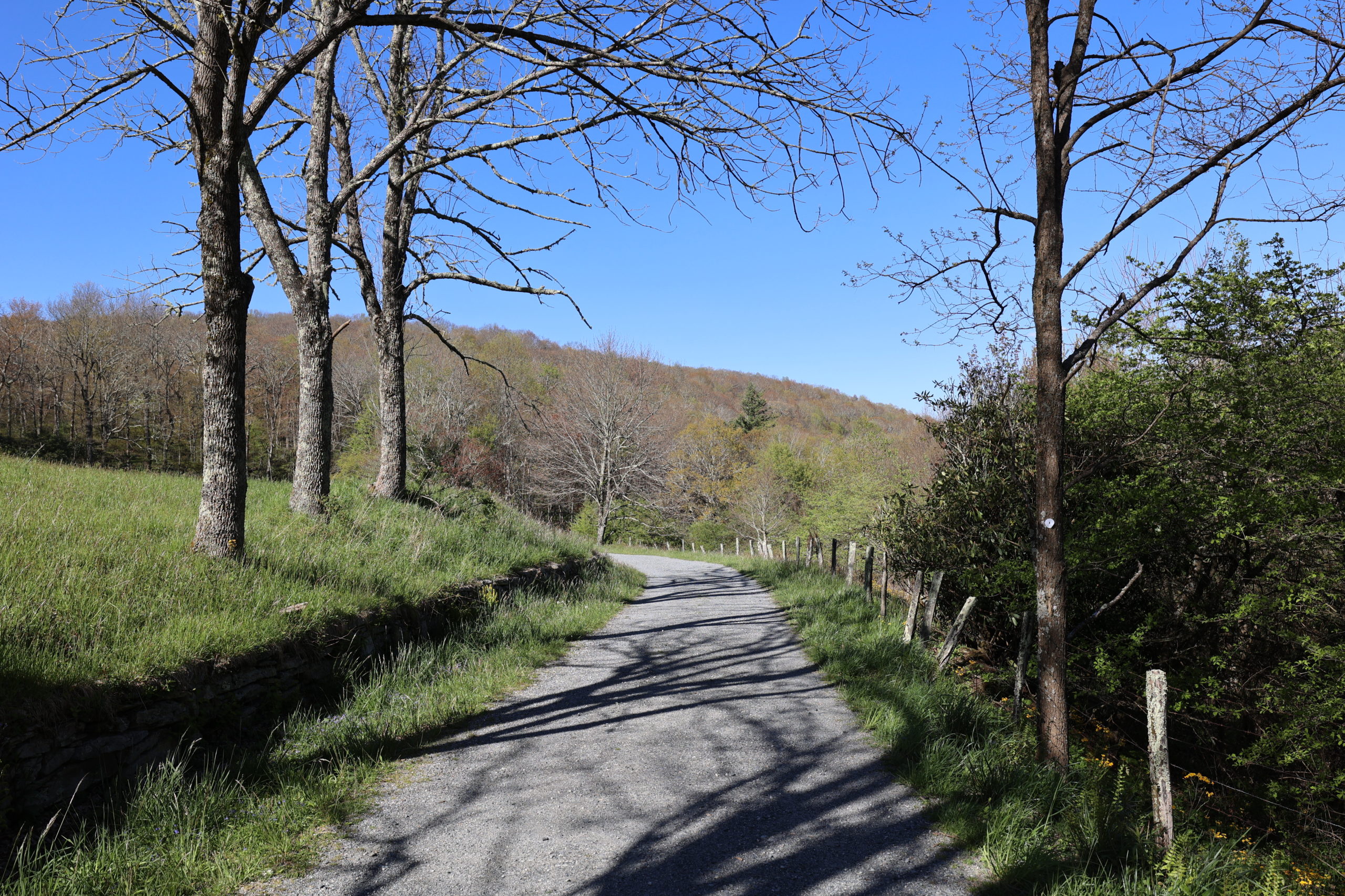
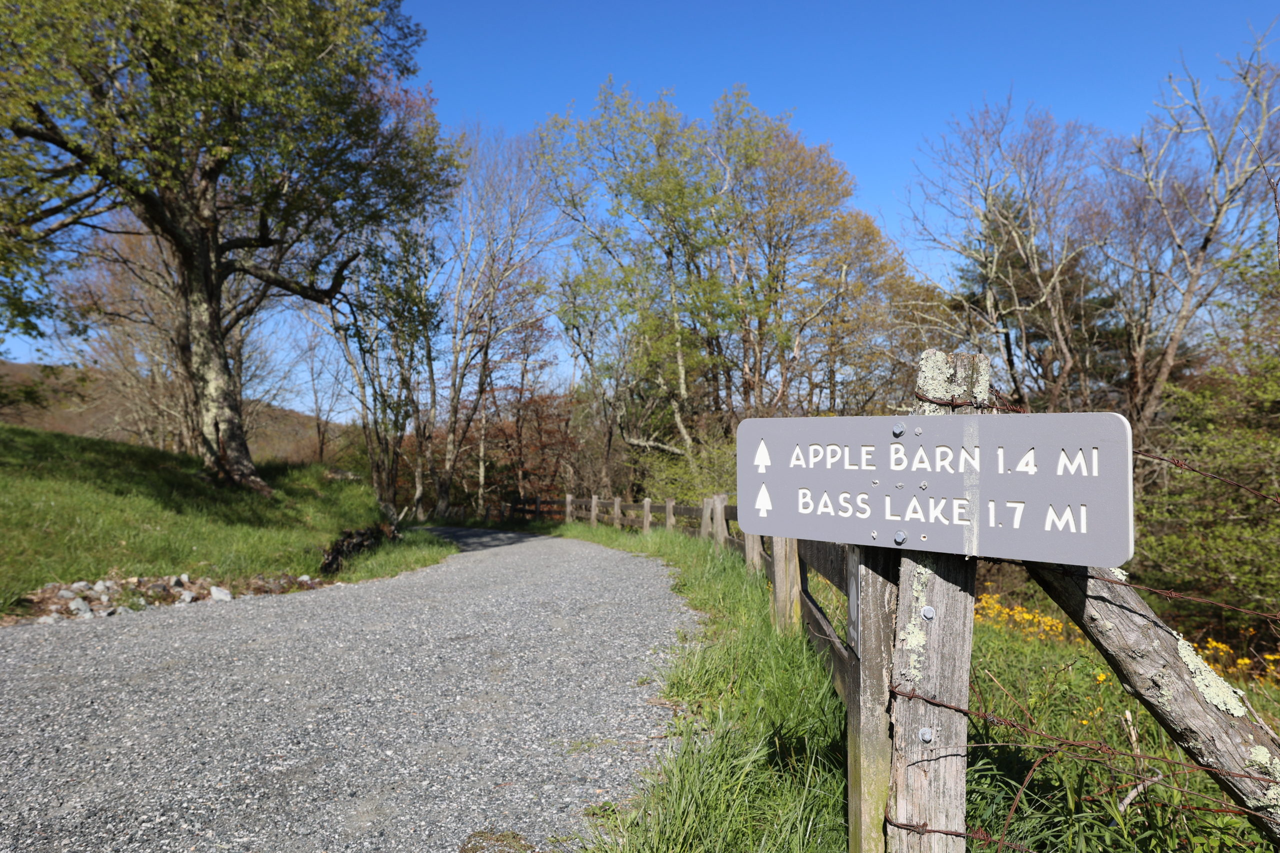
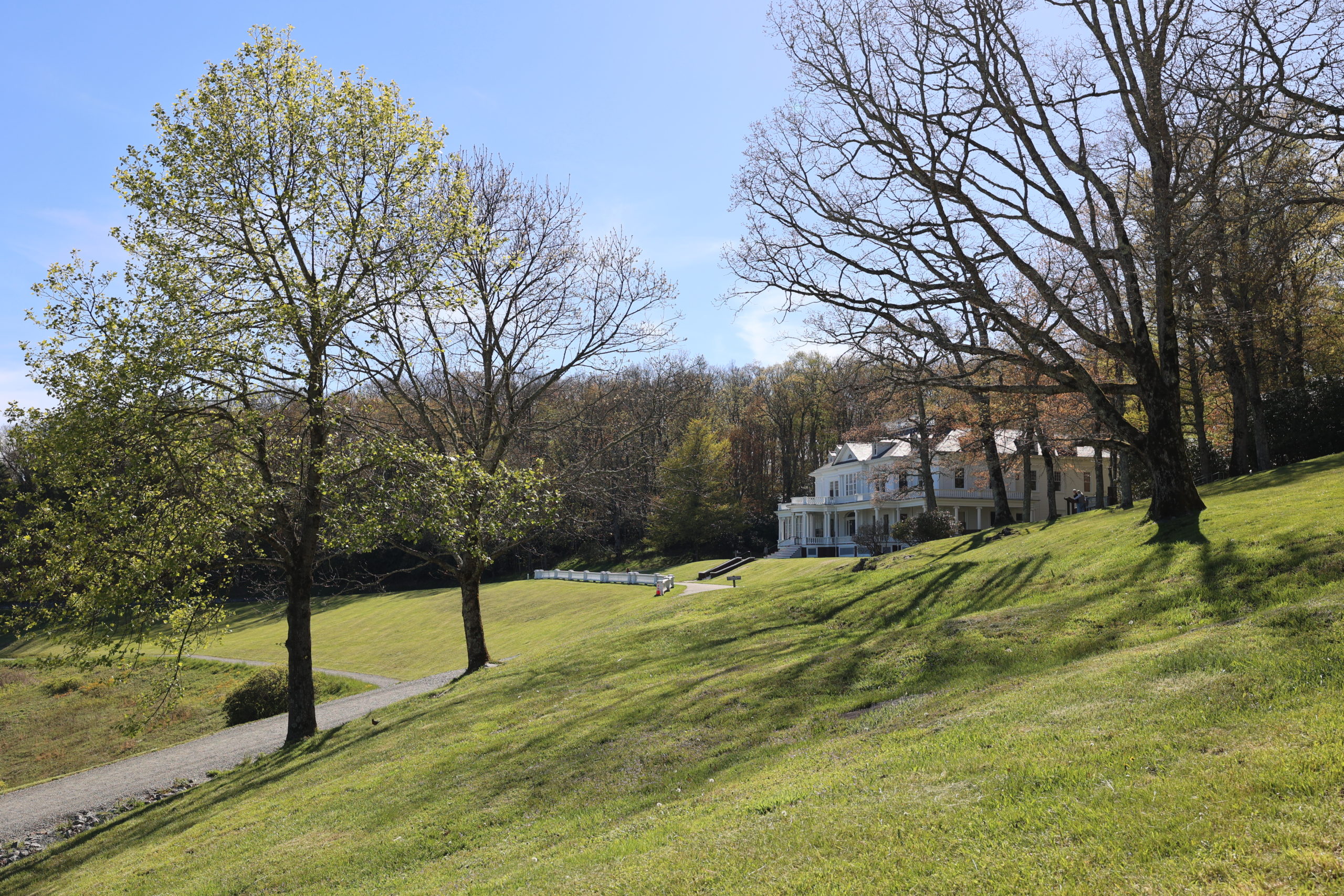
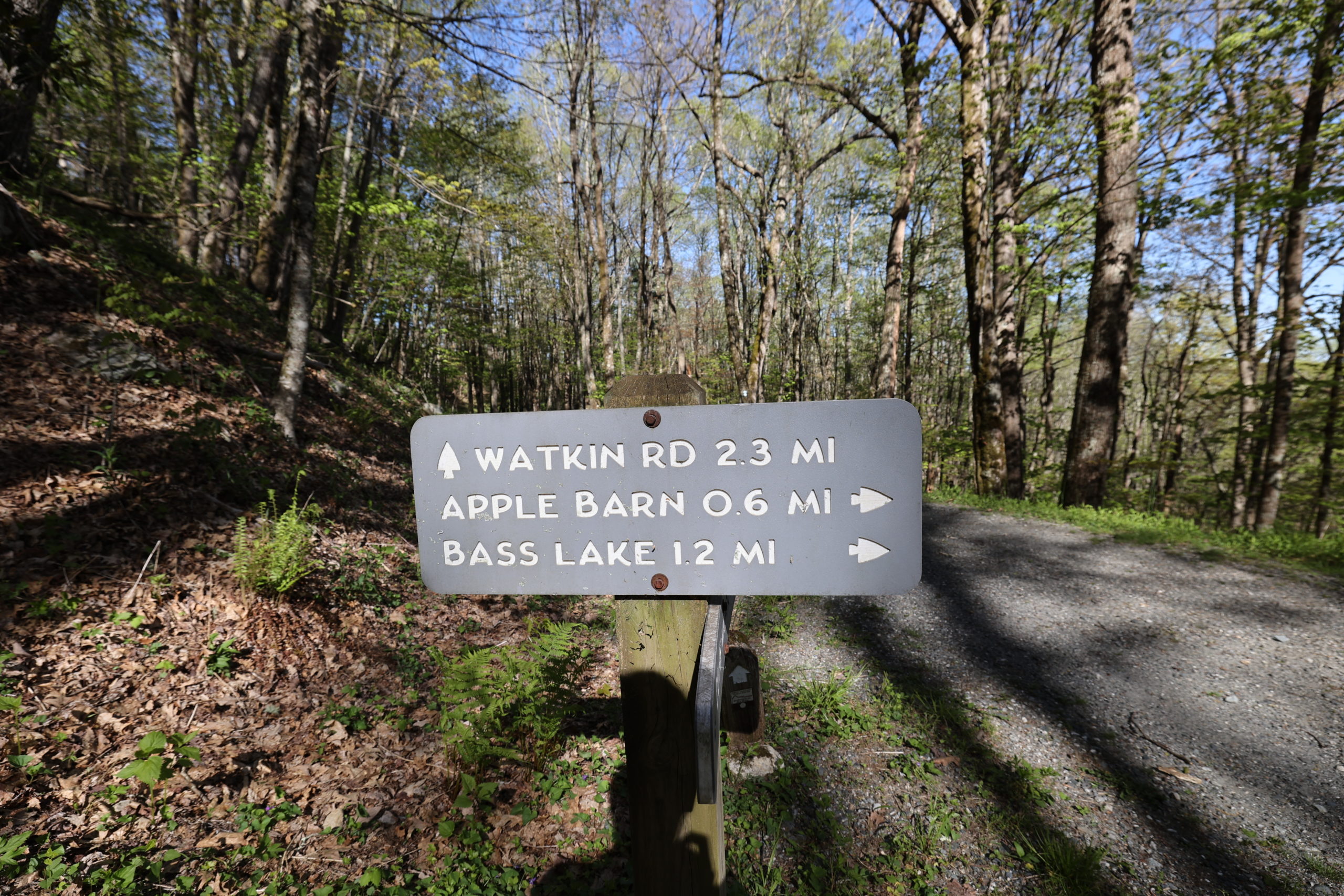
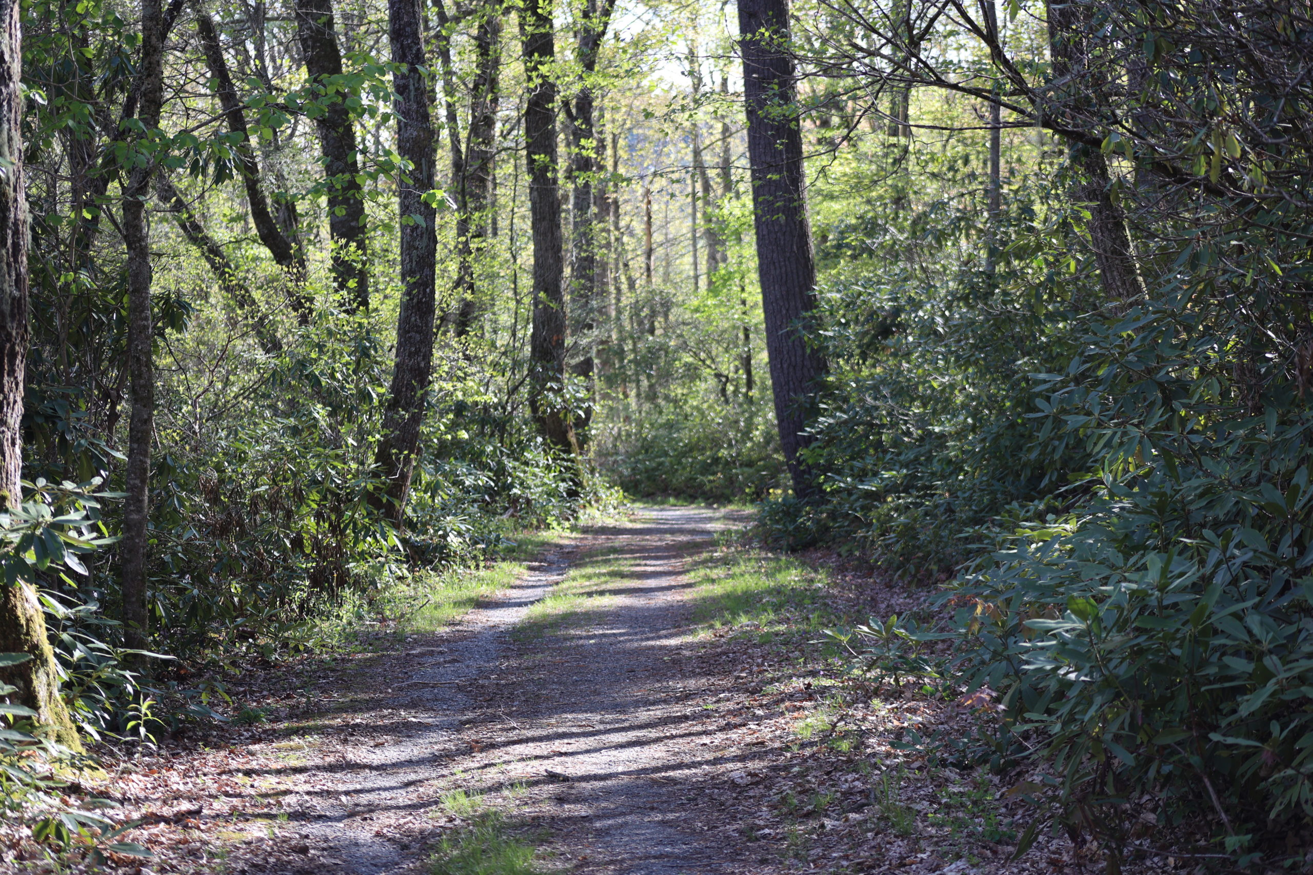
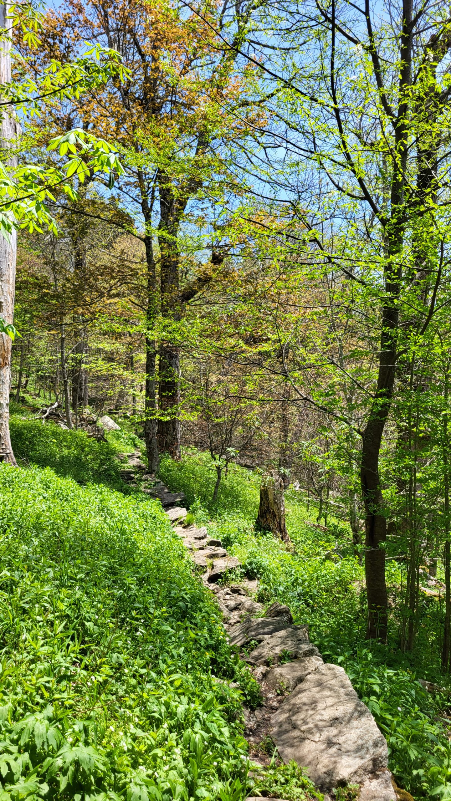
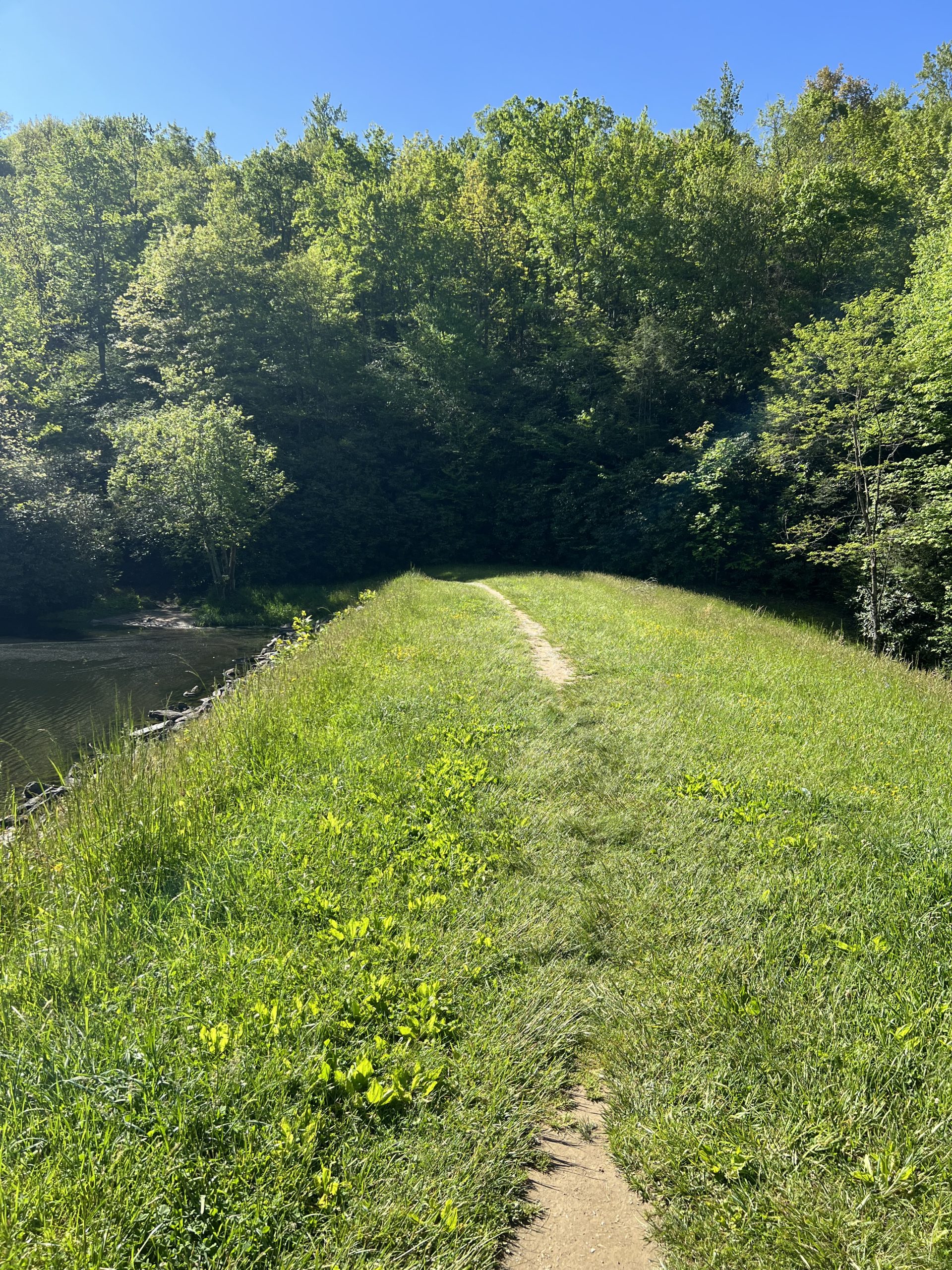
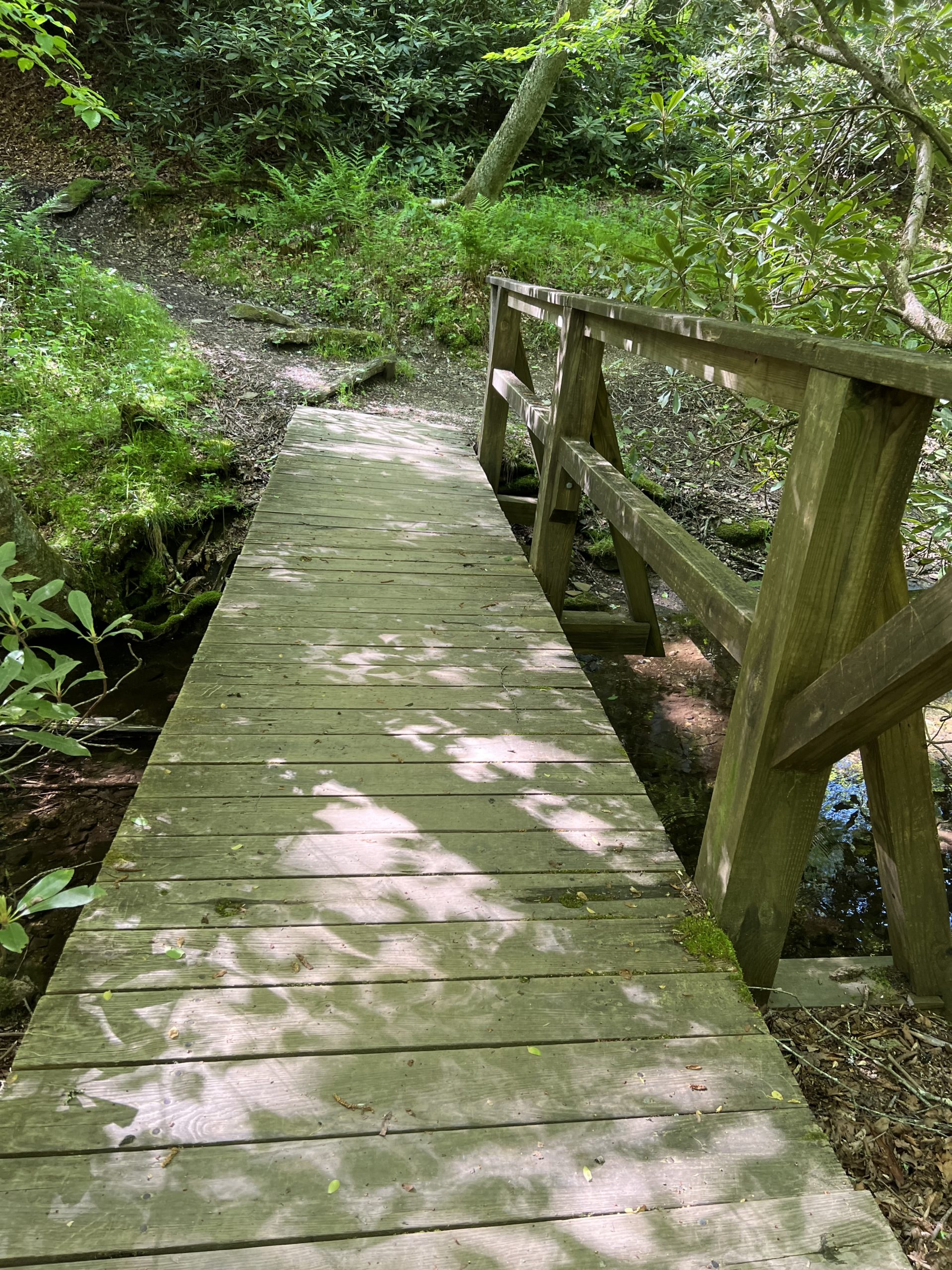
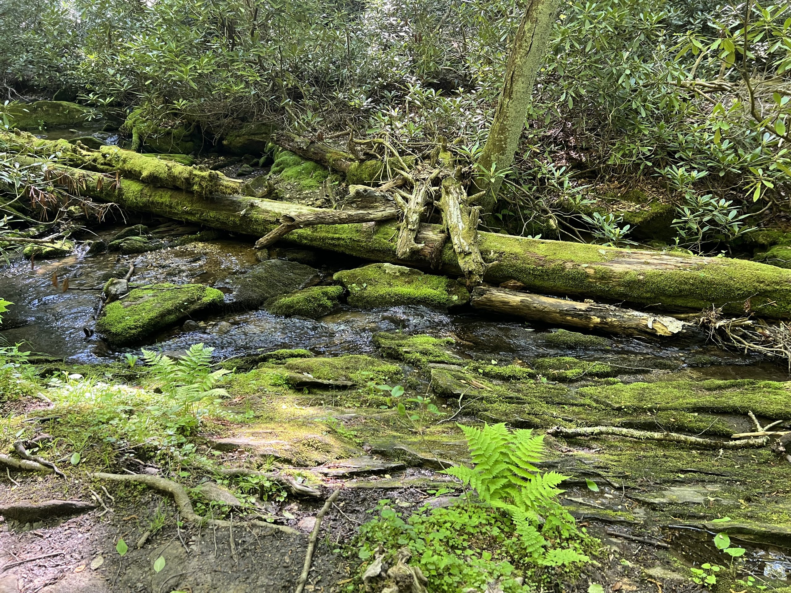
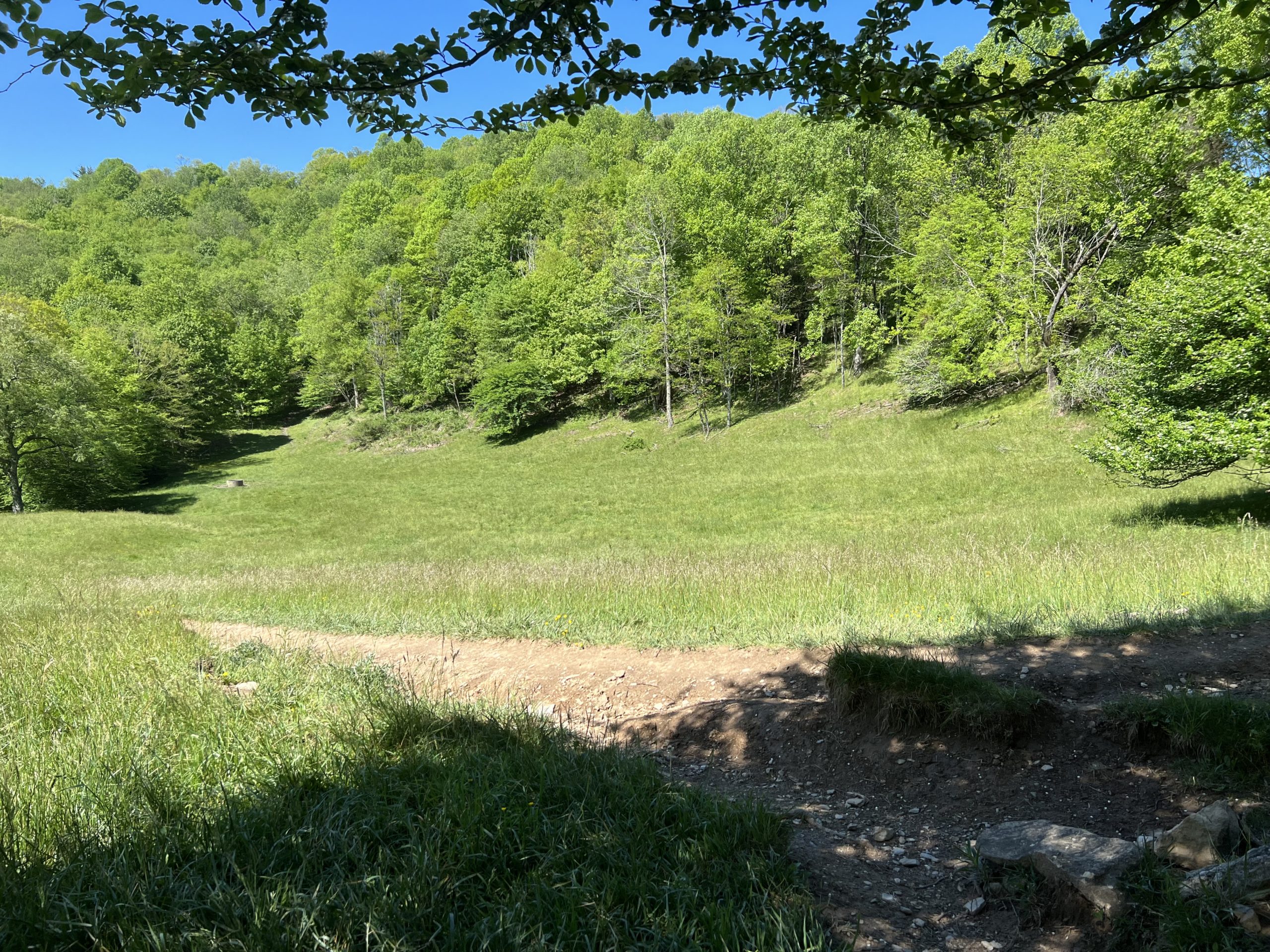
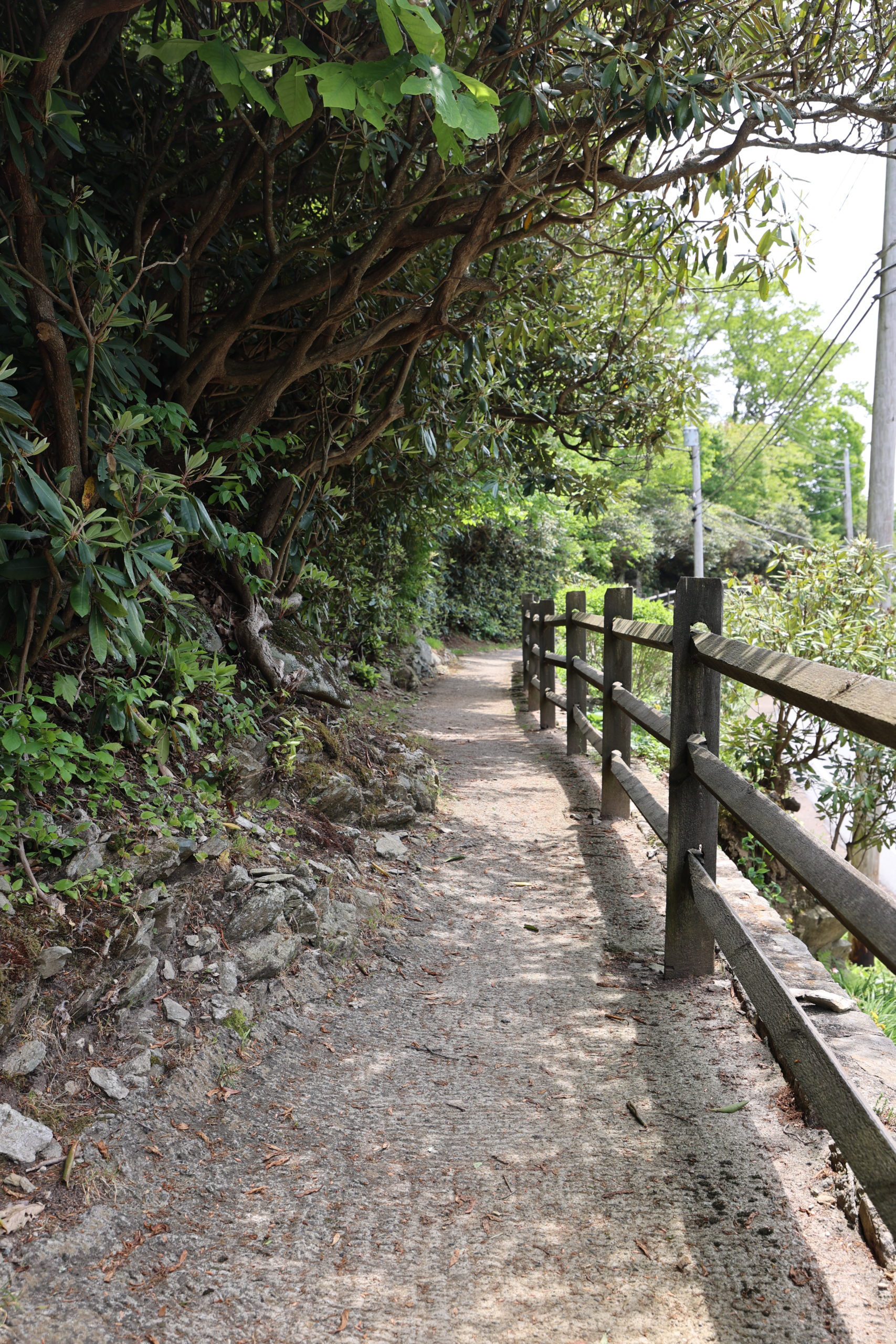
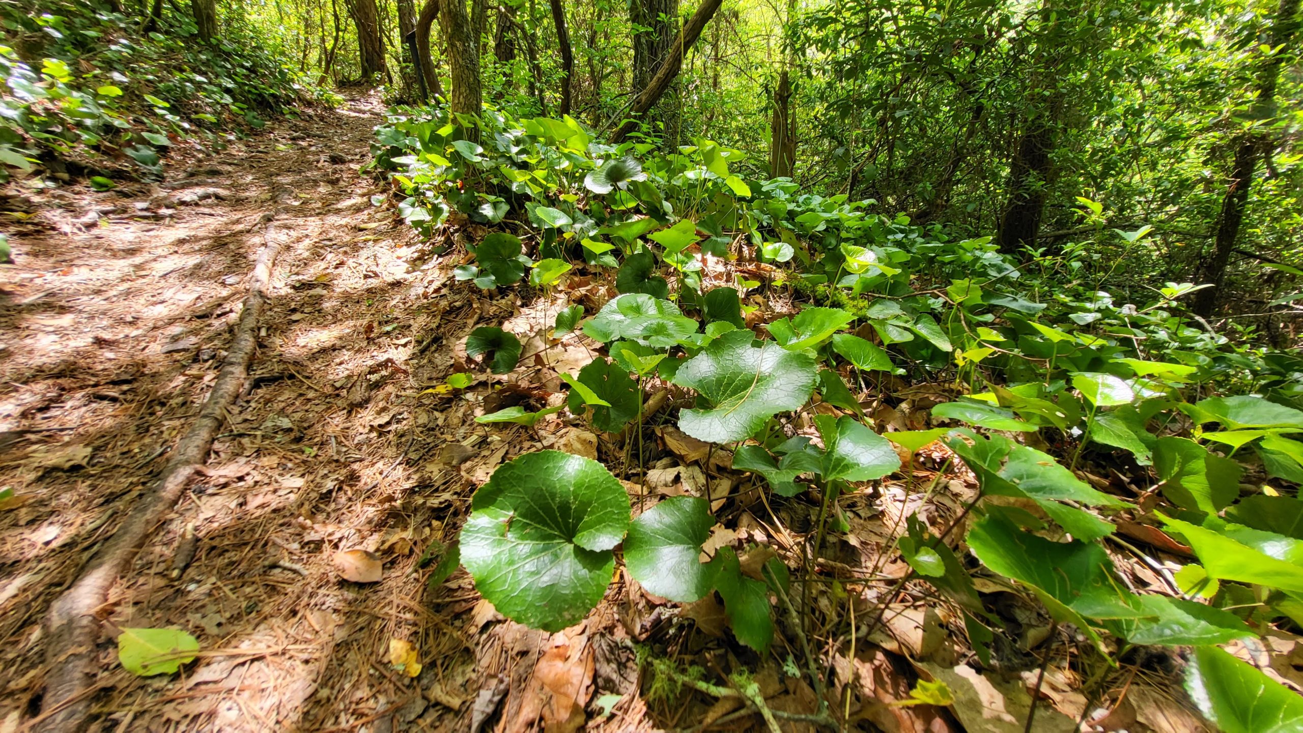
This is a portion of the Carriage Trails at Moses H. Cone Memorial Park. The trail is serene and completely submerged in the forests of the Cone Estate. We did not run into any other hikers on this route so it was great for thinking and communing with nature. The trail is often used for horseback riding so it is possible that you will run into riders at any given time. The historic Apple Barn is also located on this portion of the trails. Overall the trail is in great repair. There are a couple of water crossings to note, but nothing deep or wide. It took us about 2 hours to complete this trail because it is 4 miles long. The trail is marked moderate due to its length, but the terrain itself was not difficult. It is great for exercise or horseback riding.
Trail Length: 4 miles
Difficulty: Easy to moderate
Surface: Wide graveled trail
Trail Use: Walking, jogging, horseback riding, leashed dogs ok
Blaze: N/A
Getting There:
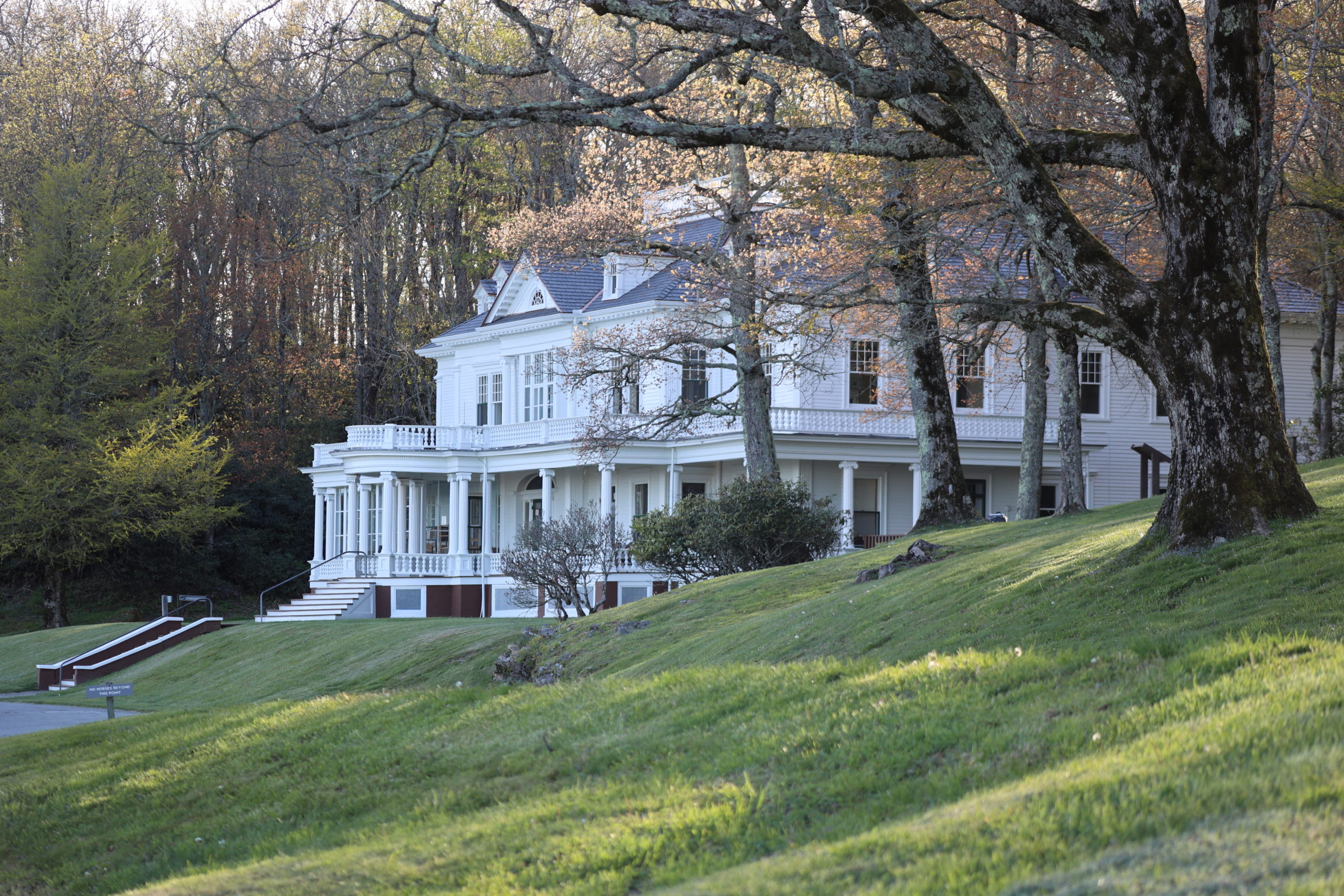
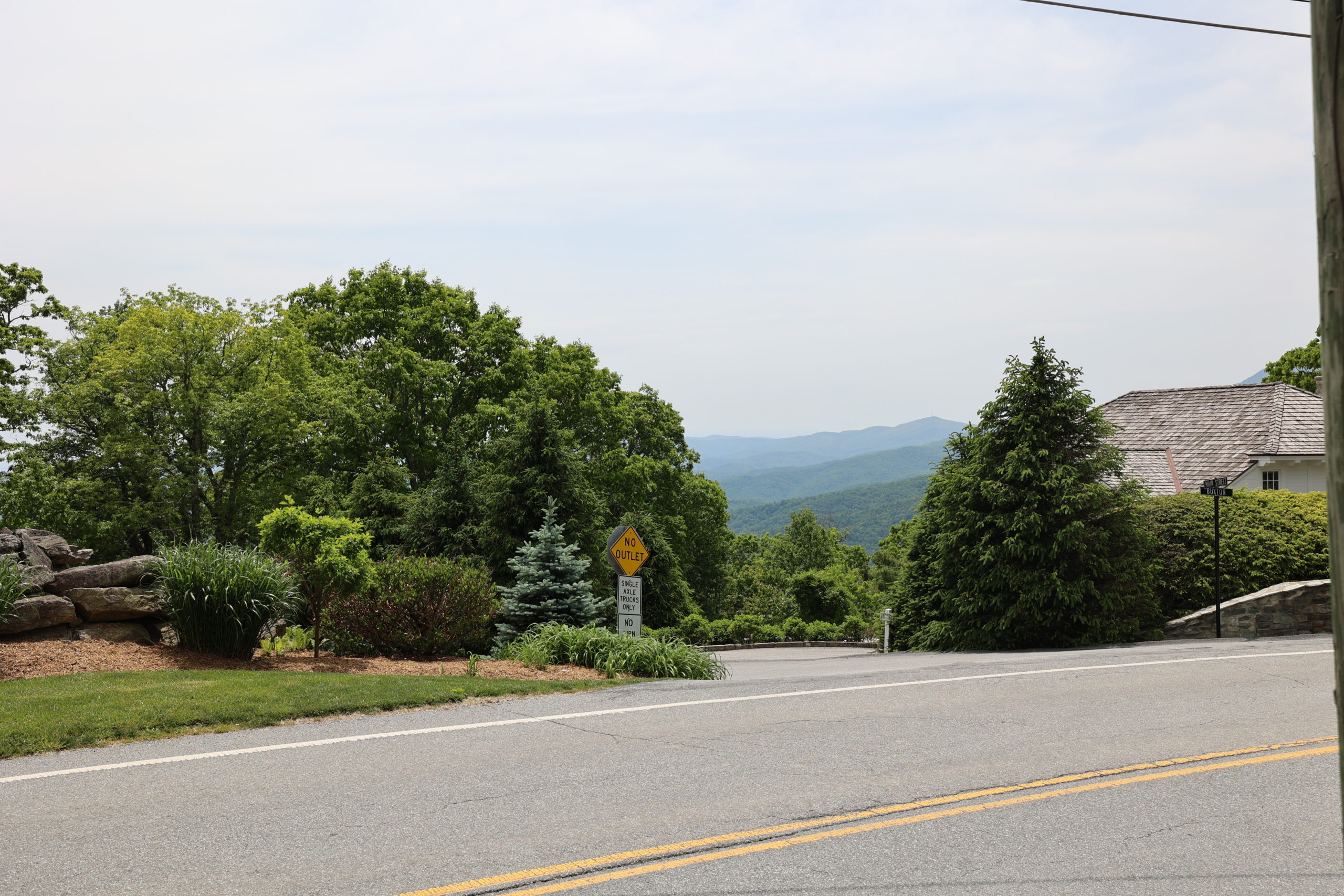
Flat Top Manor is located directly off of the Blue Ridge Parkway at mile marker 294. You will pull into the Flat Top Manor parking area and park there to access this trail. To begin, walk toward the Carriage Barn. From just below the barn you will take a left and follow the horse trail to begin the loop. Be aware that the Parkway can be closed due to weather so keep that in mind when trying to access trails. There is also going to be maintenance work on the Parkway for the next few years, so see our Parkway Repair Updates Page to stay on top of Parkway closures and detours.
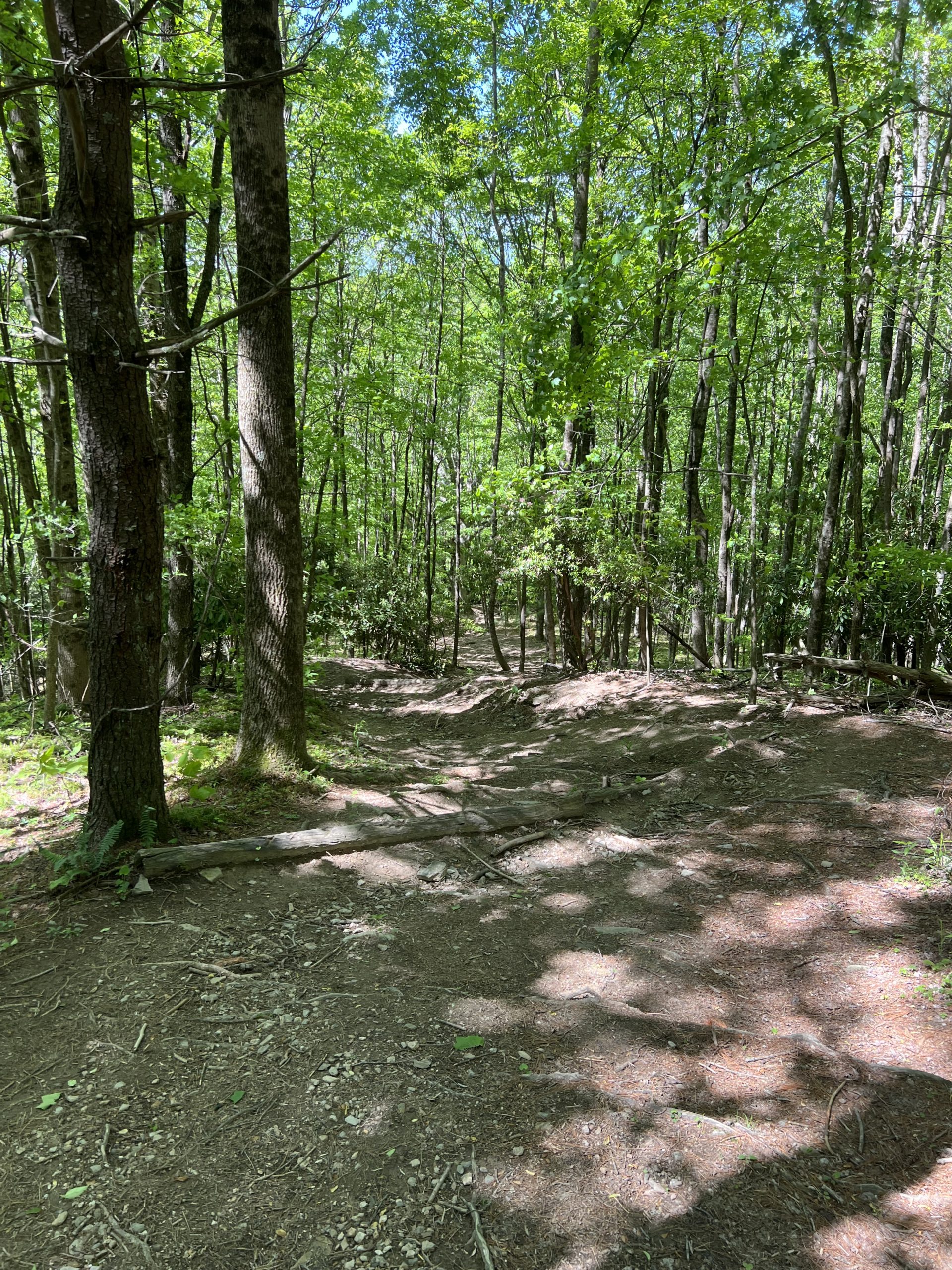
Tanawha Trail: Wilson Creek to Rough Ridge to Boulderfield Overlook
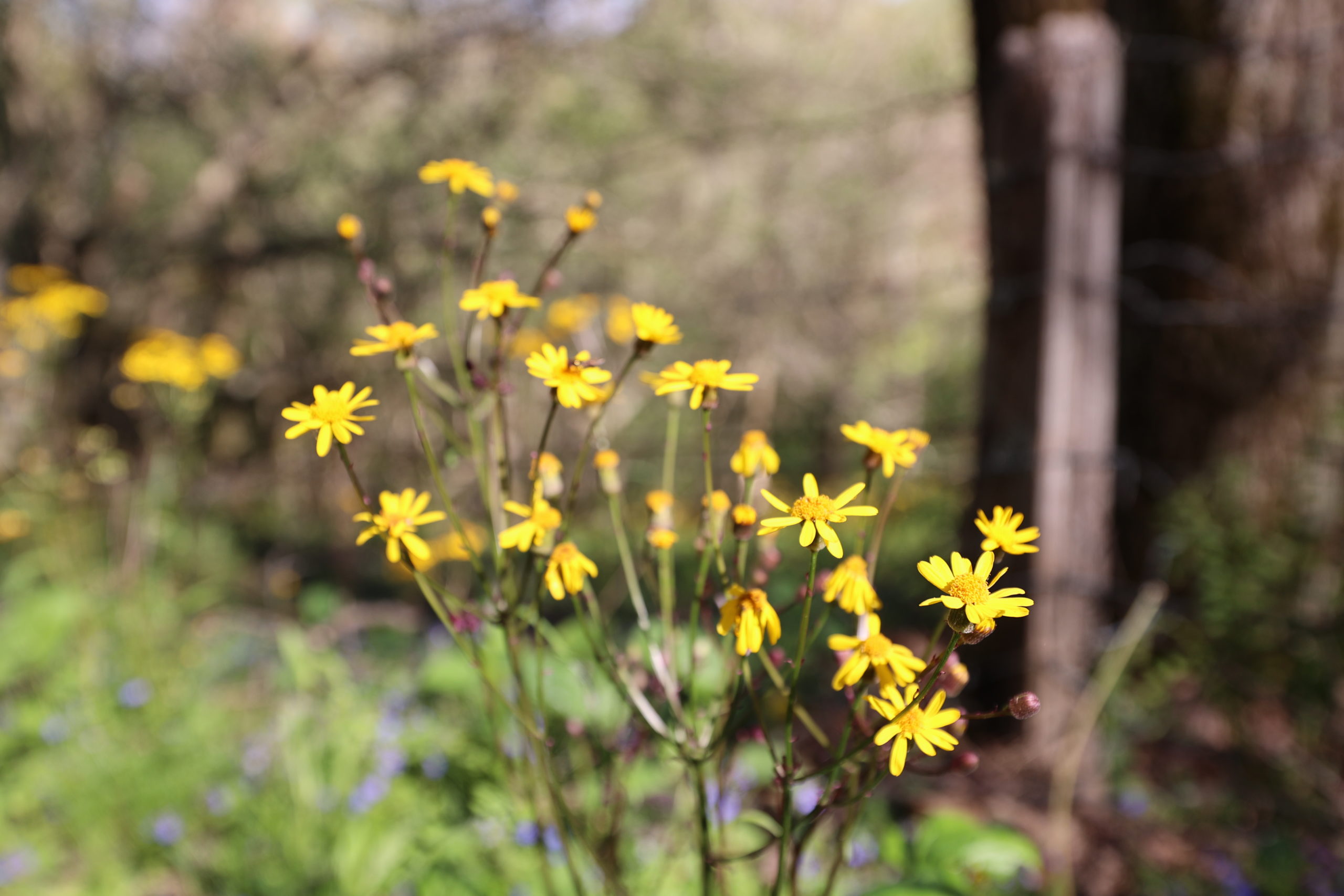
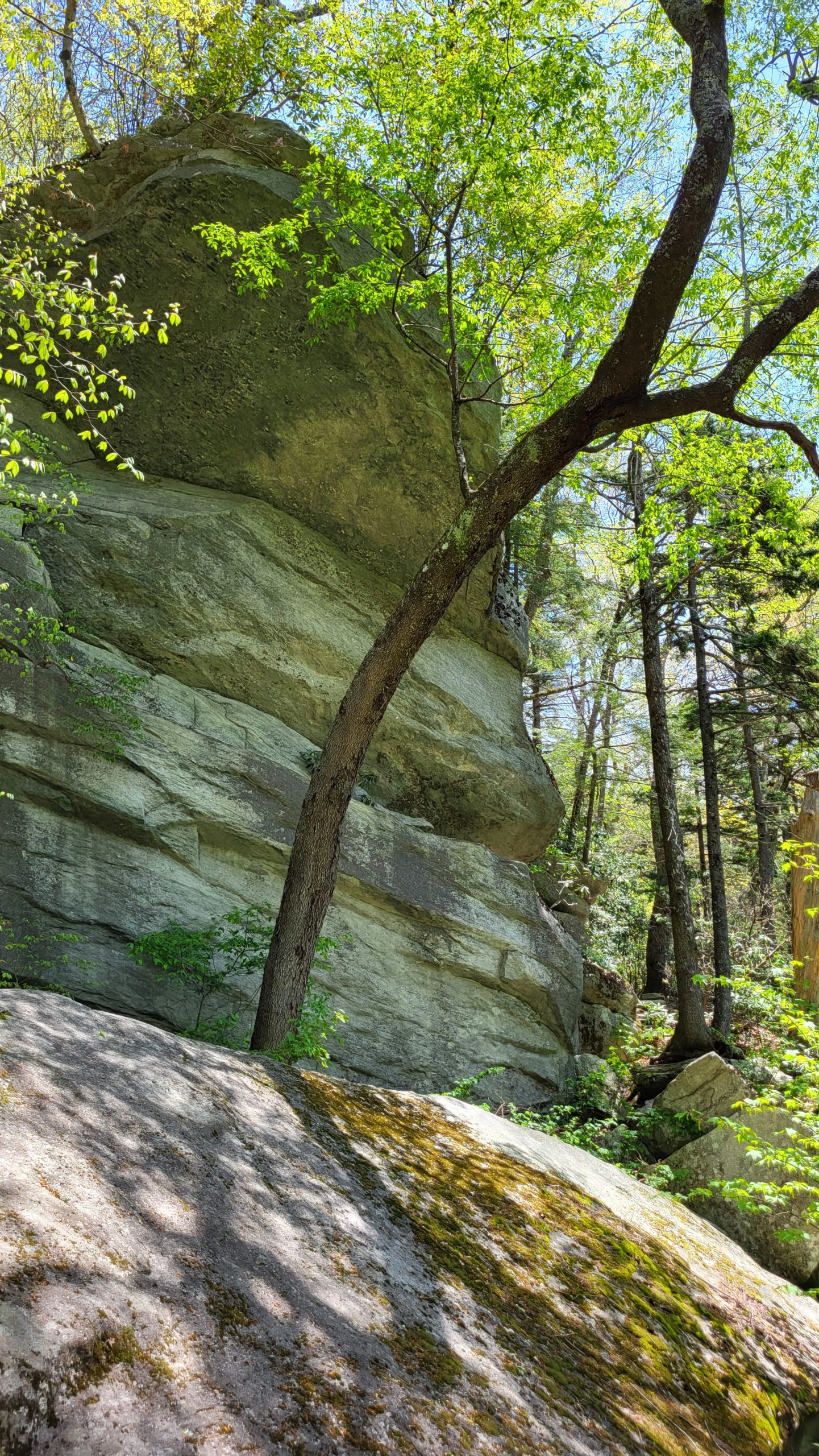
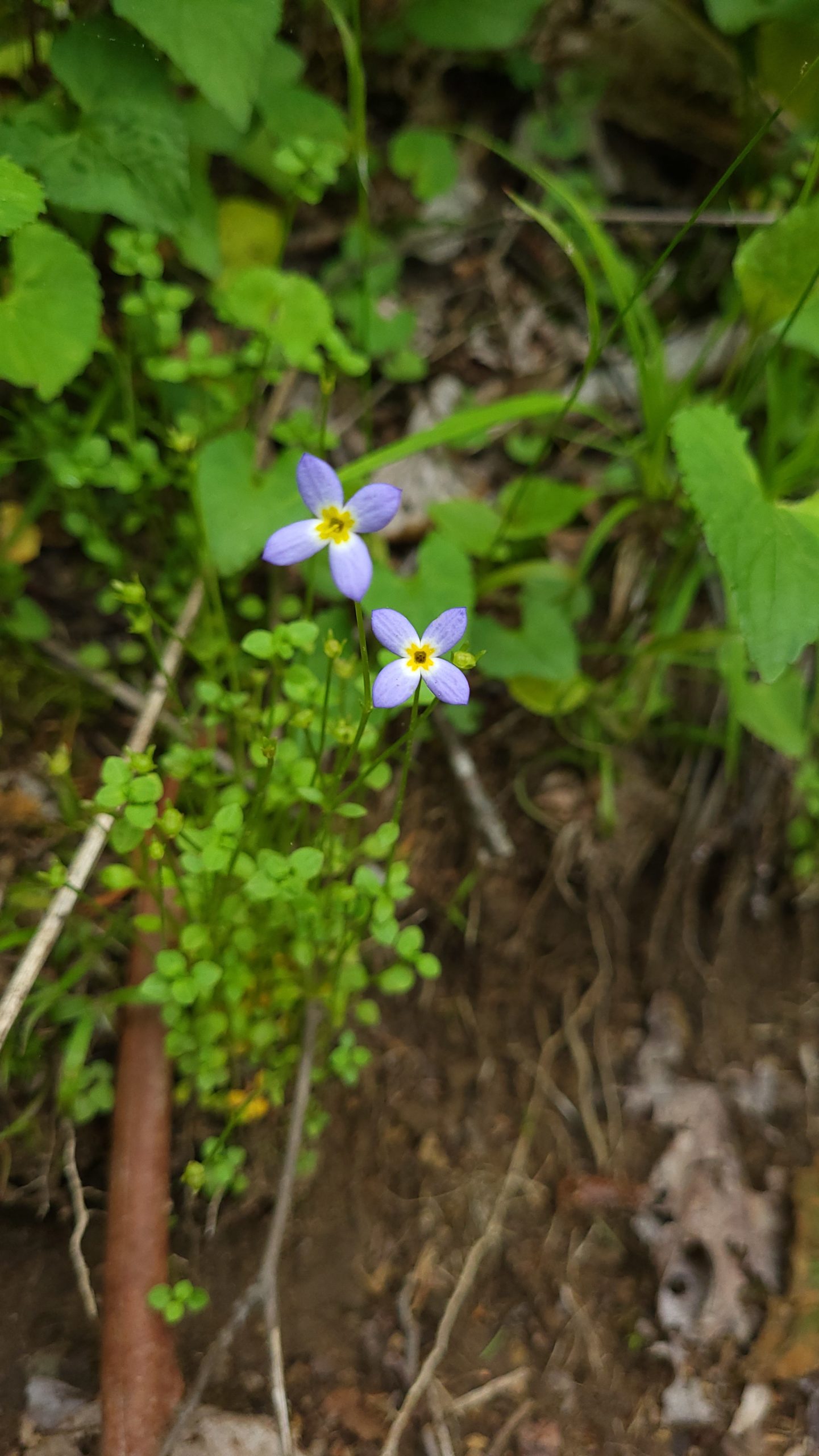
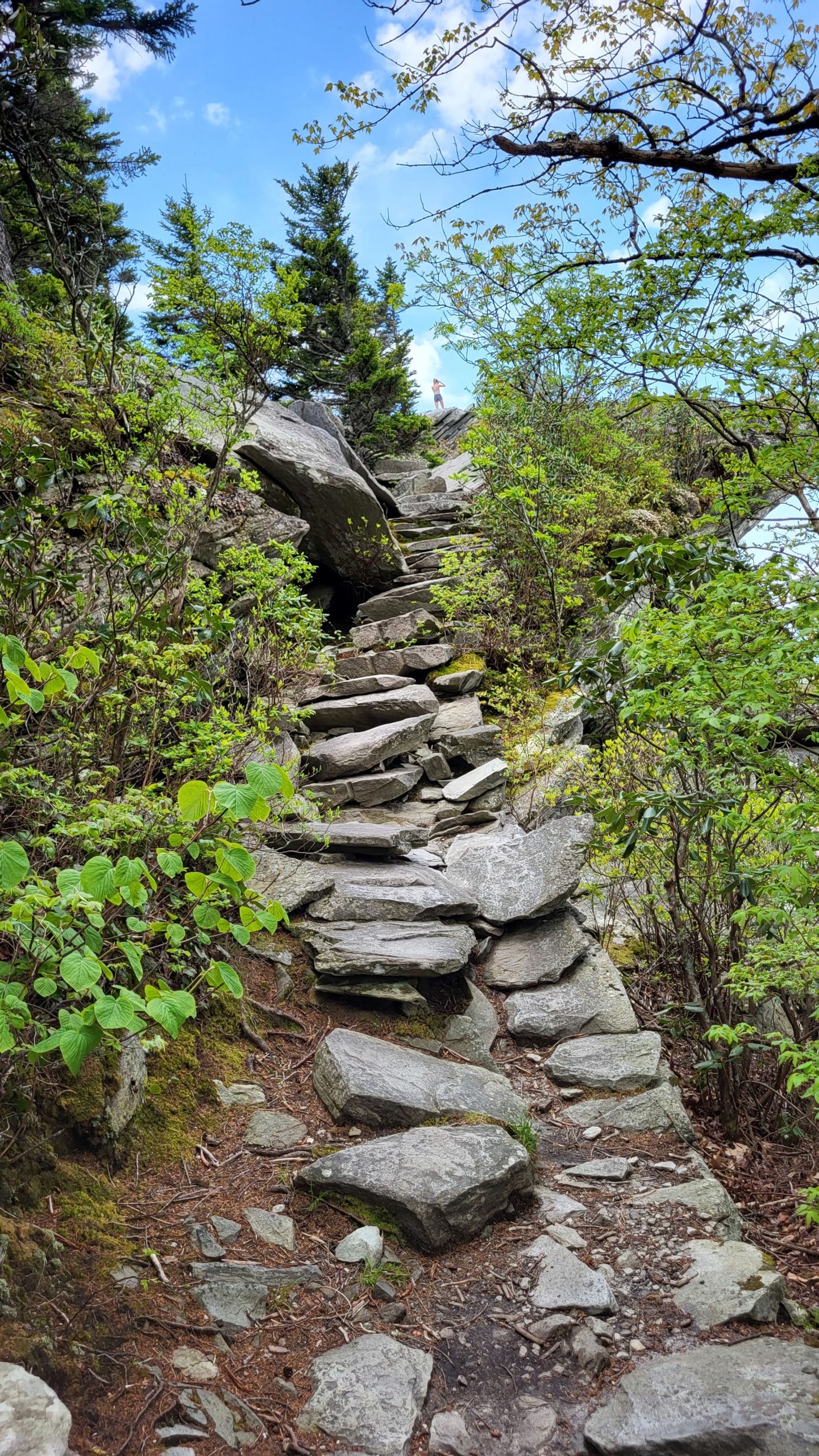
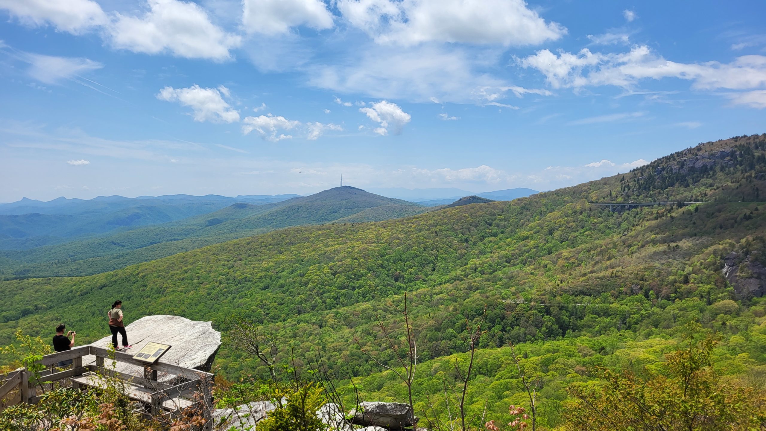
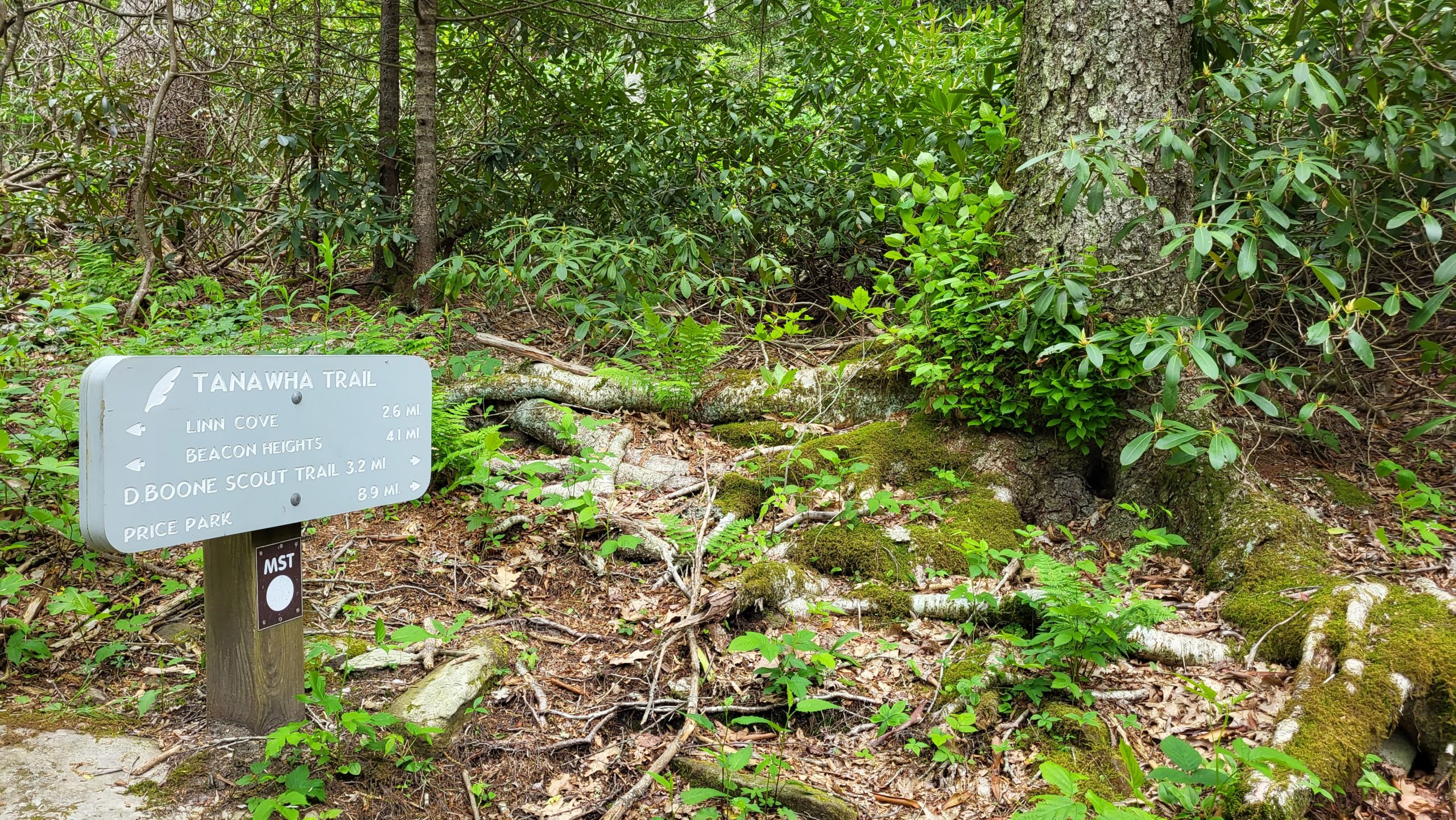
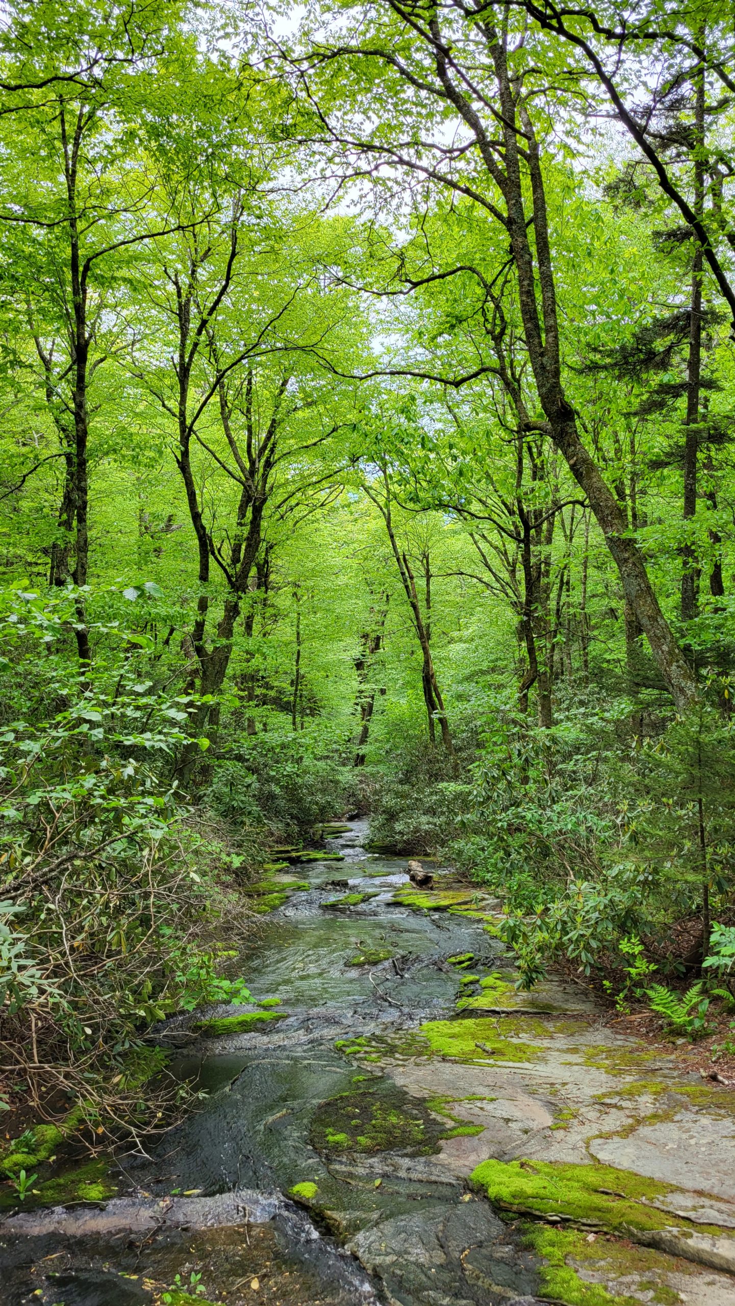
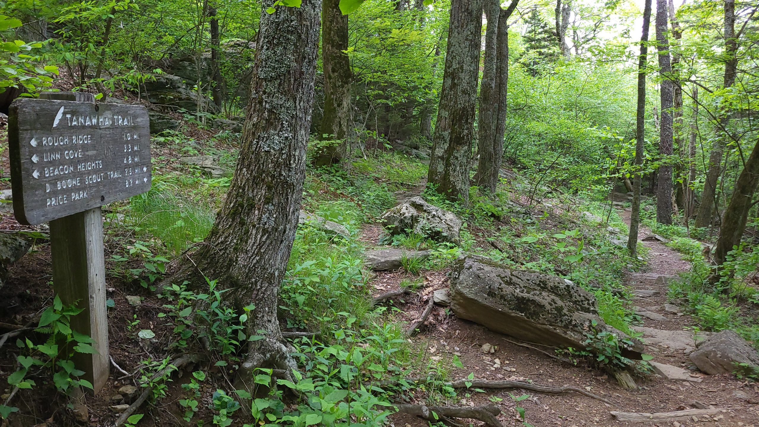
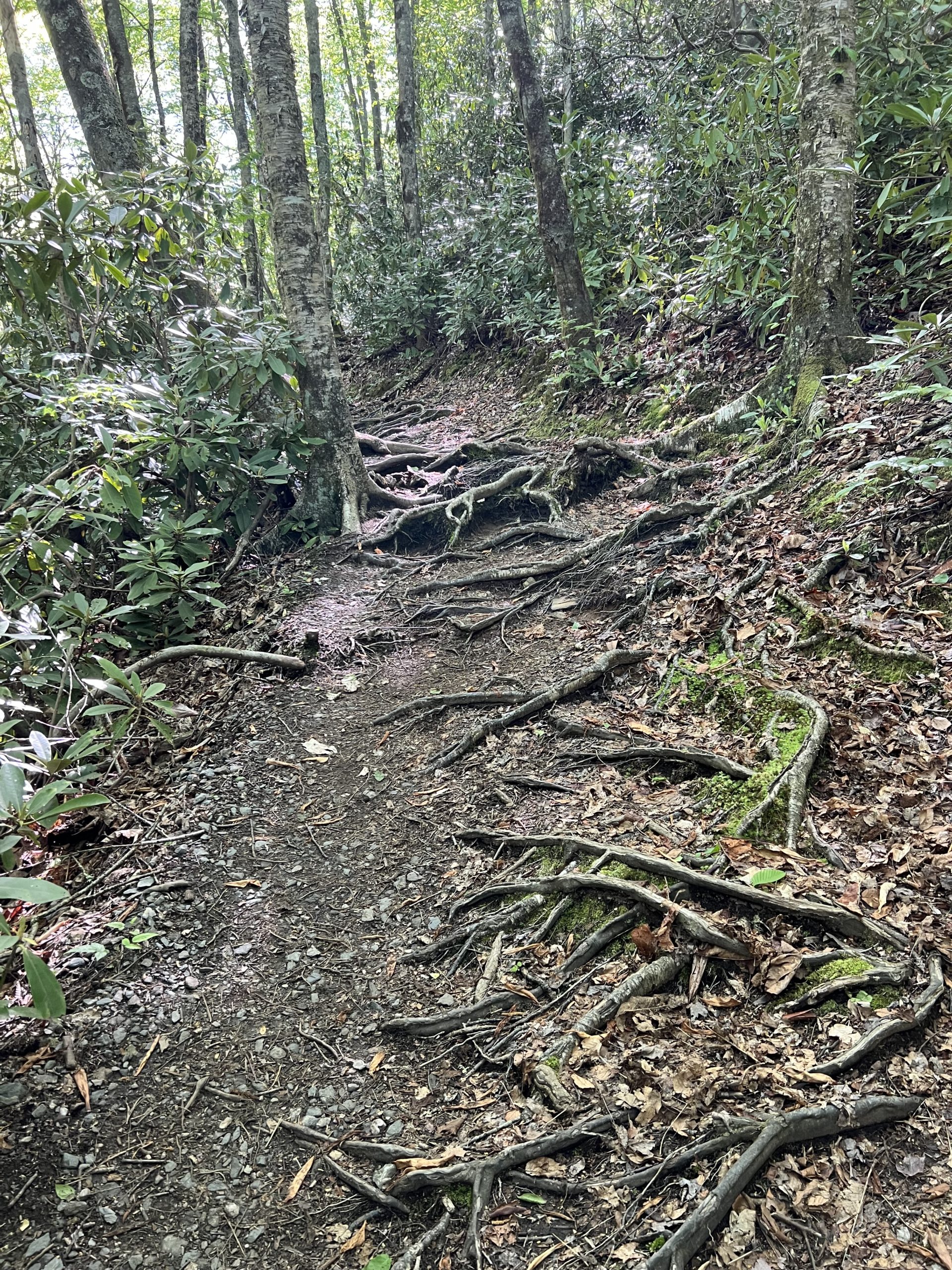
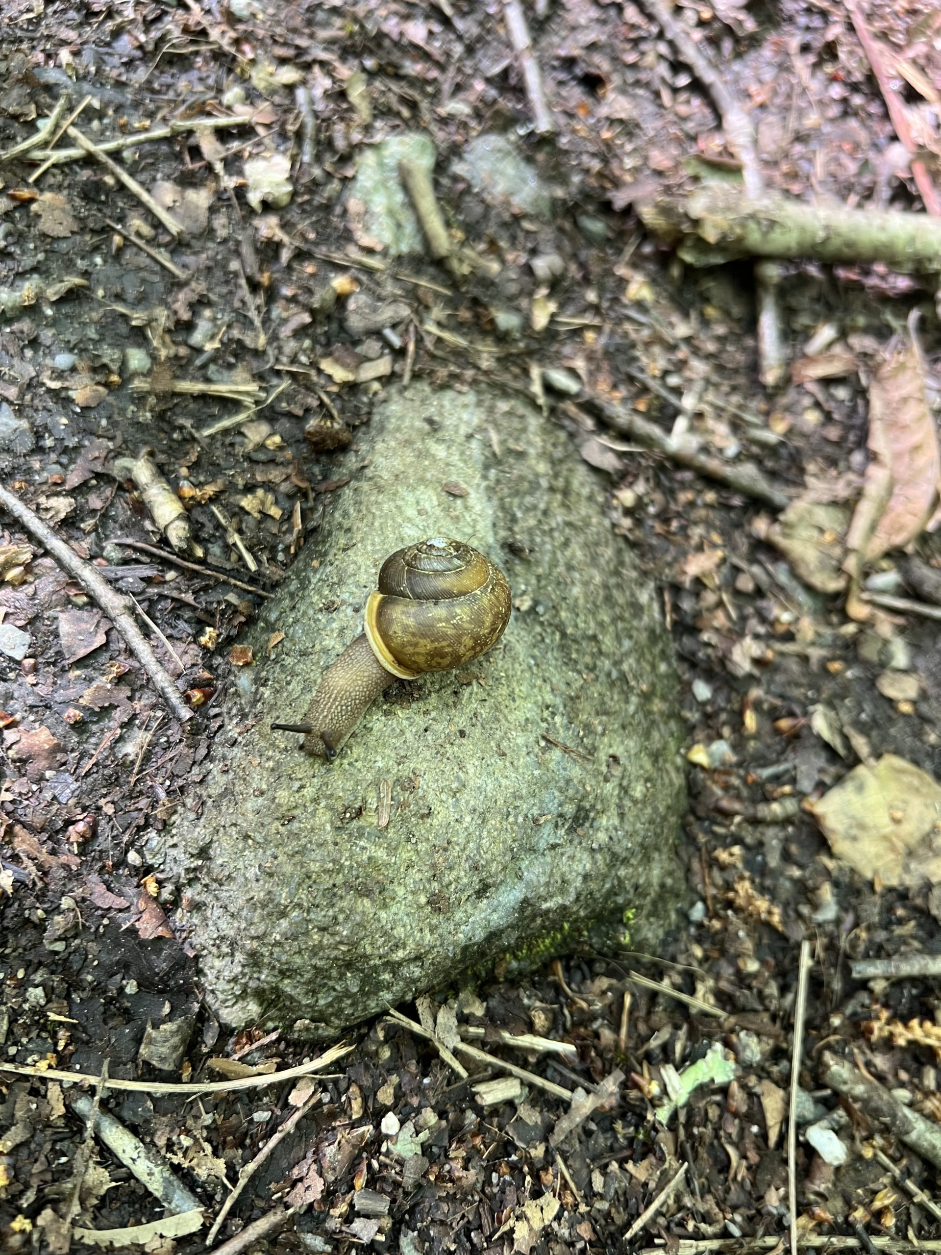
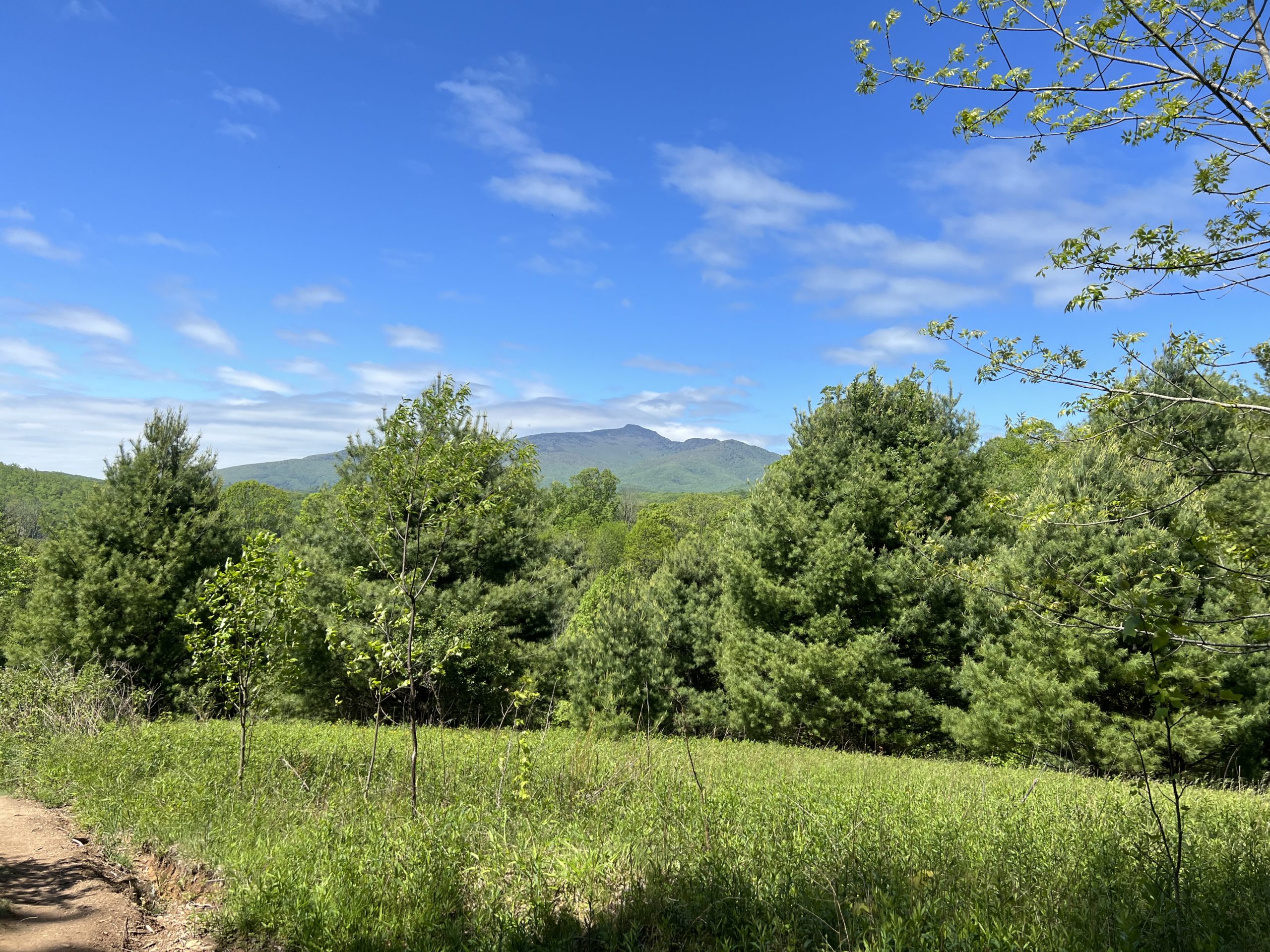
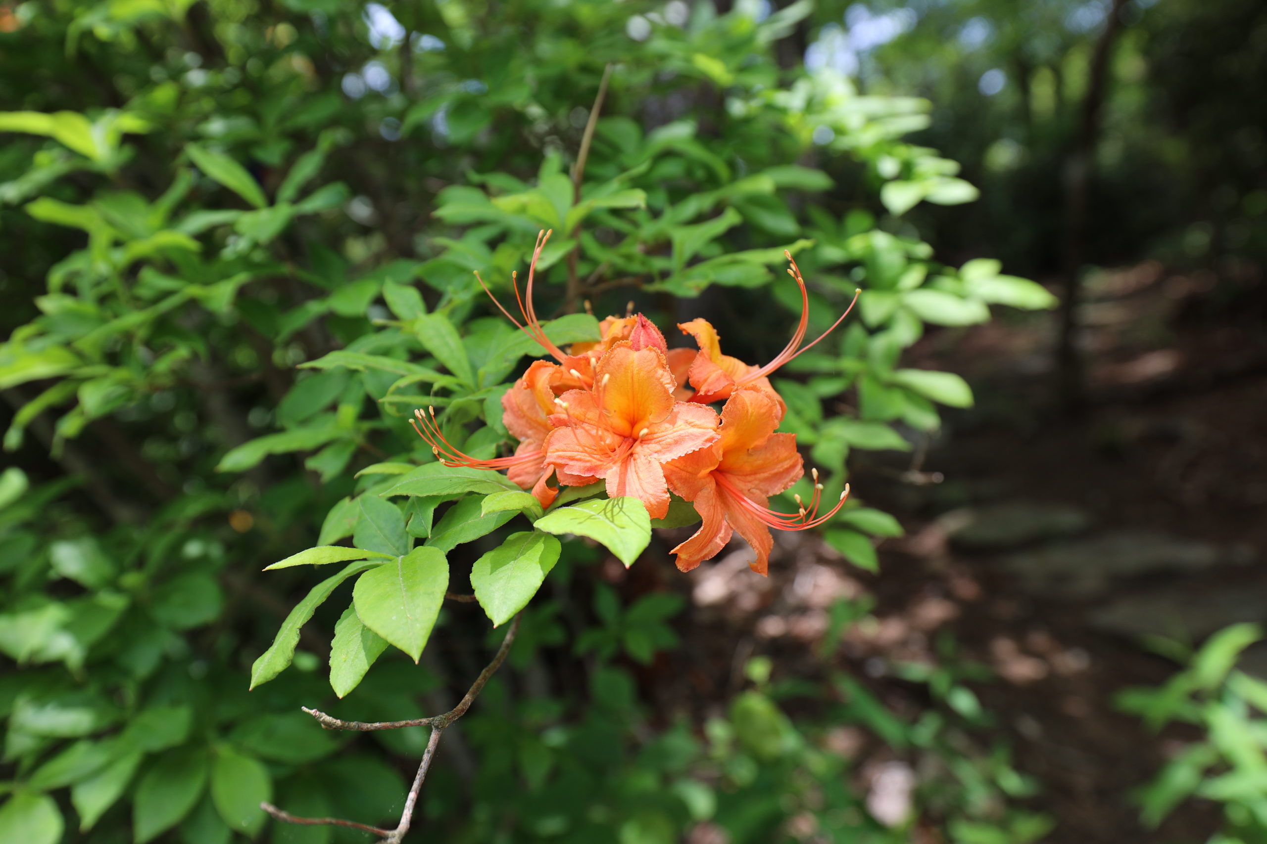
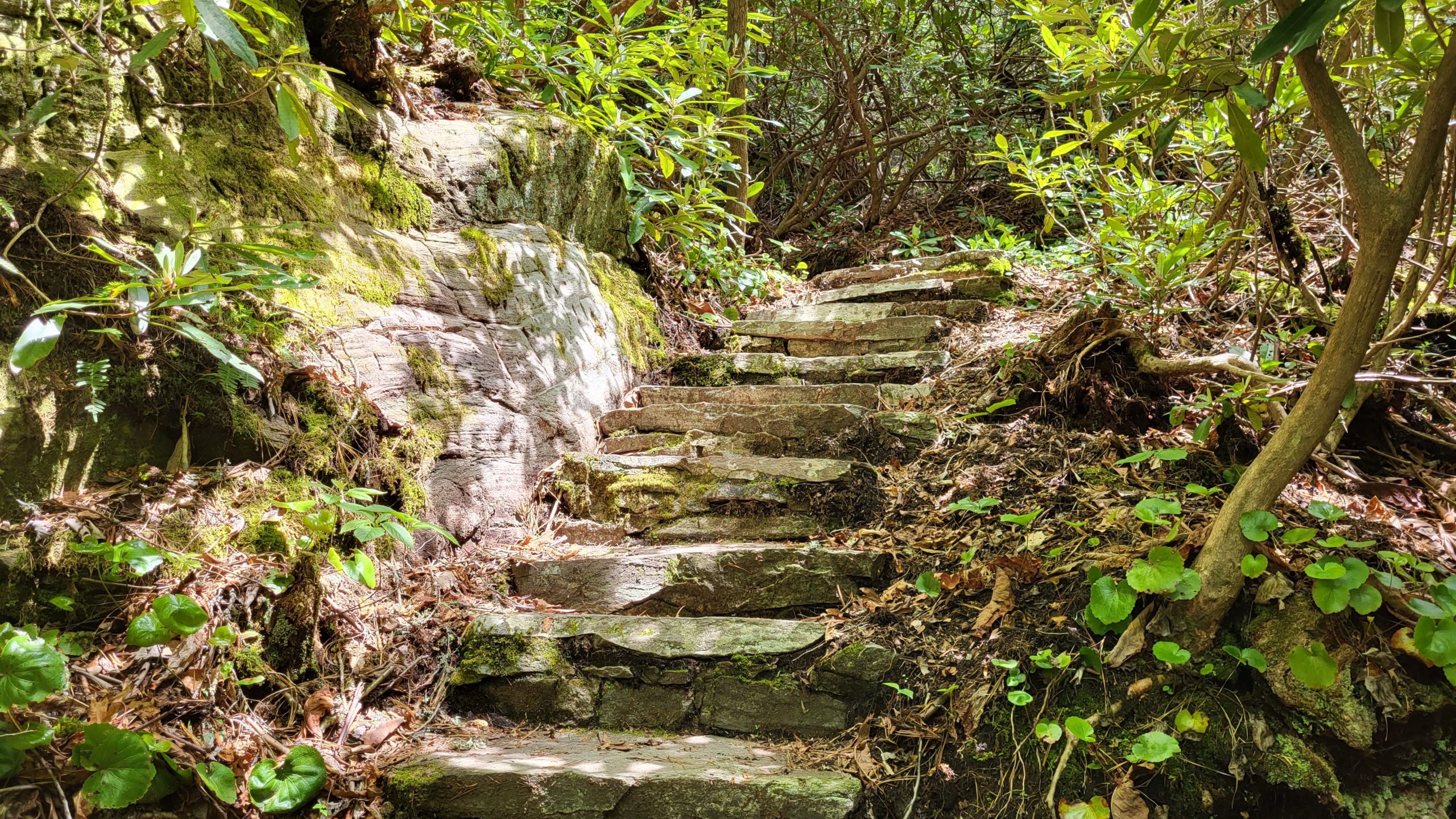
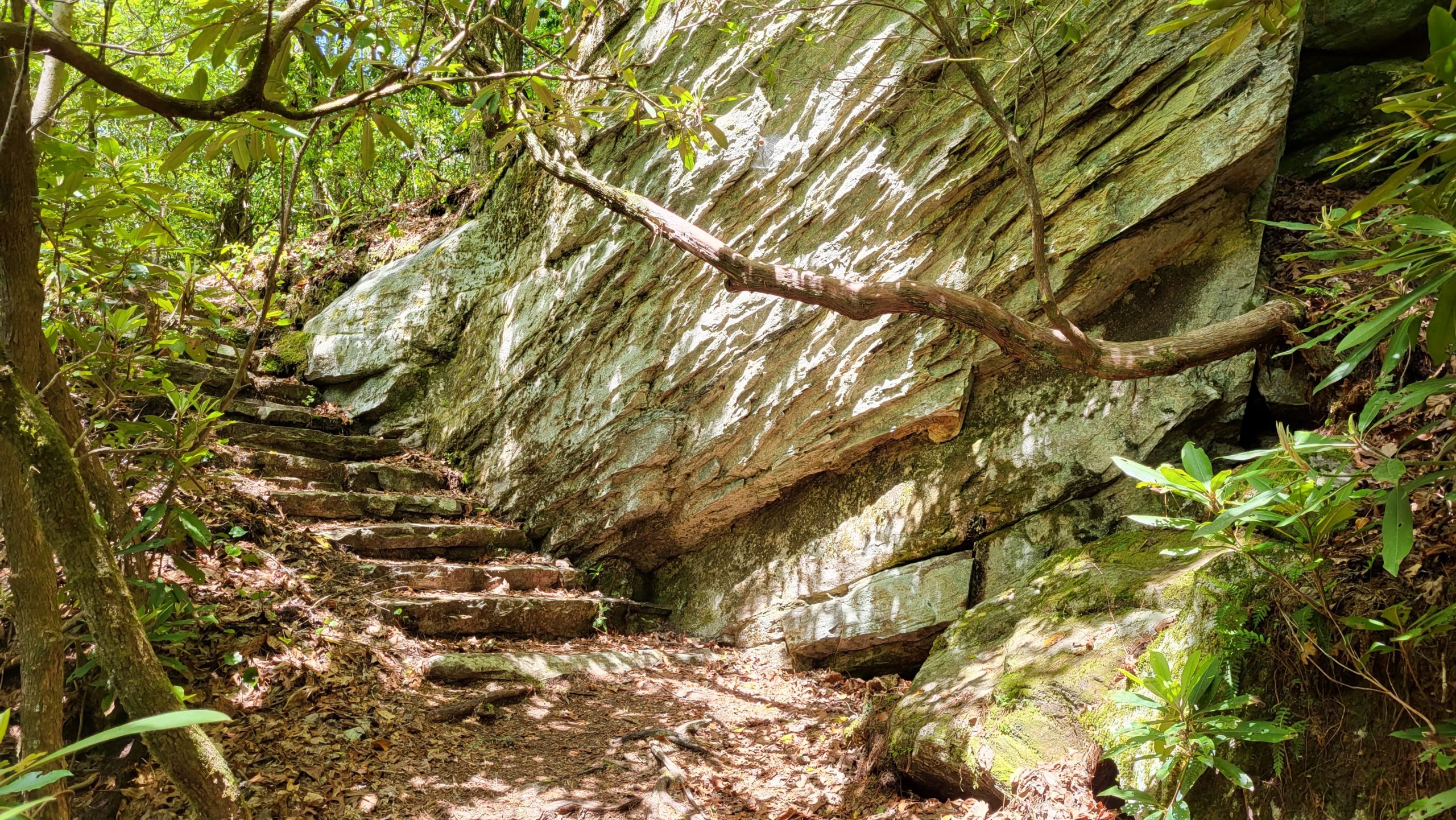
We’re continuing our exploration of the Tanawha Trail, which stretches over 13 miles from Price Park to Beacon Heights. The trail traverses varied habitats and terrain, immersing hikers into the natural areas surrounding the Blue Ridge Parkway. In fact, it runs parallel to the Blue Ridge Parkway for much of its distance, which results in many access points at overlooks and trail intersections. This section of the Tanawha Trail meanders for 2.4 miles along the slopes of Grandfather Mountain from Wilson Creek Overlook to Boulderfield Overlook. Note that Tanawha runs jointly with the Mountains-to-Sea Trail (MST) here, marked with white blazes. Out-and-back, and including a connector trail from the access point, this route is about 5 miles total, with some strenuous portions. It offers wildflowers and shady woods, crags and climbs, and sweeping views. Those sweeping views are enjoyed as the trail crosses over Rough Ridge.
Trail Length: 2.4 Miles (about 5 miles out-and-back with connector trail)
Difficulty: Moderate with Strenuous sections
Surface: Dirt, boardwalk, stone paths
Trail Use: hiking
Blaze: White Dot (Mountains To Sea)
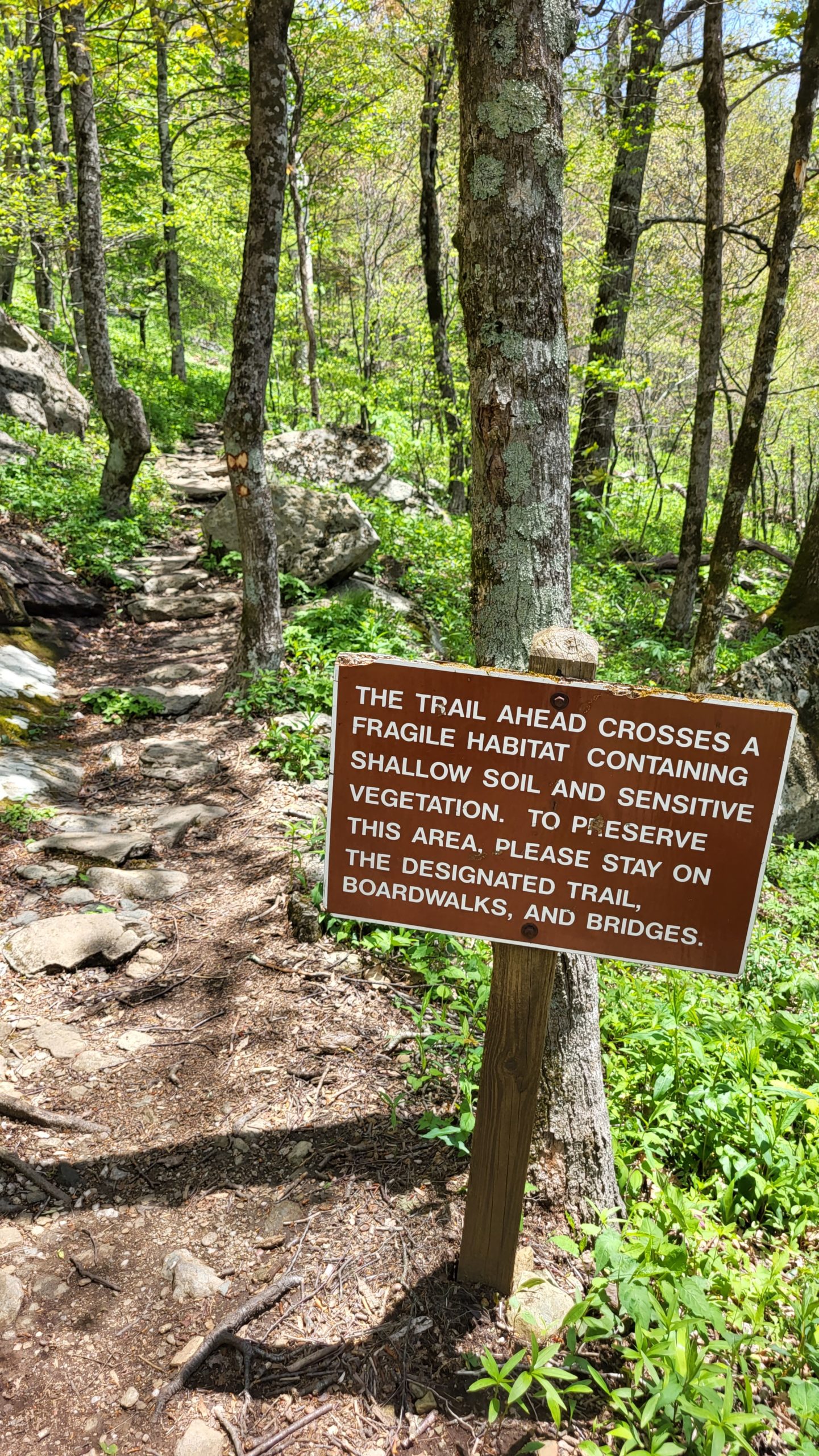
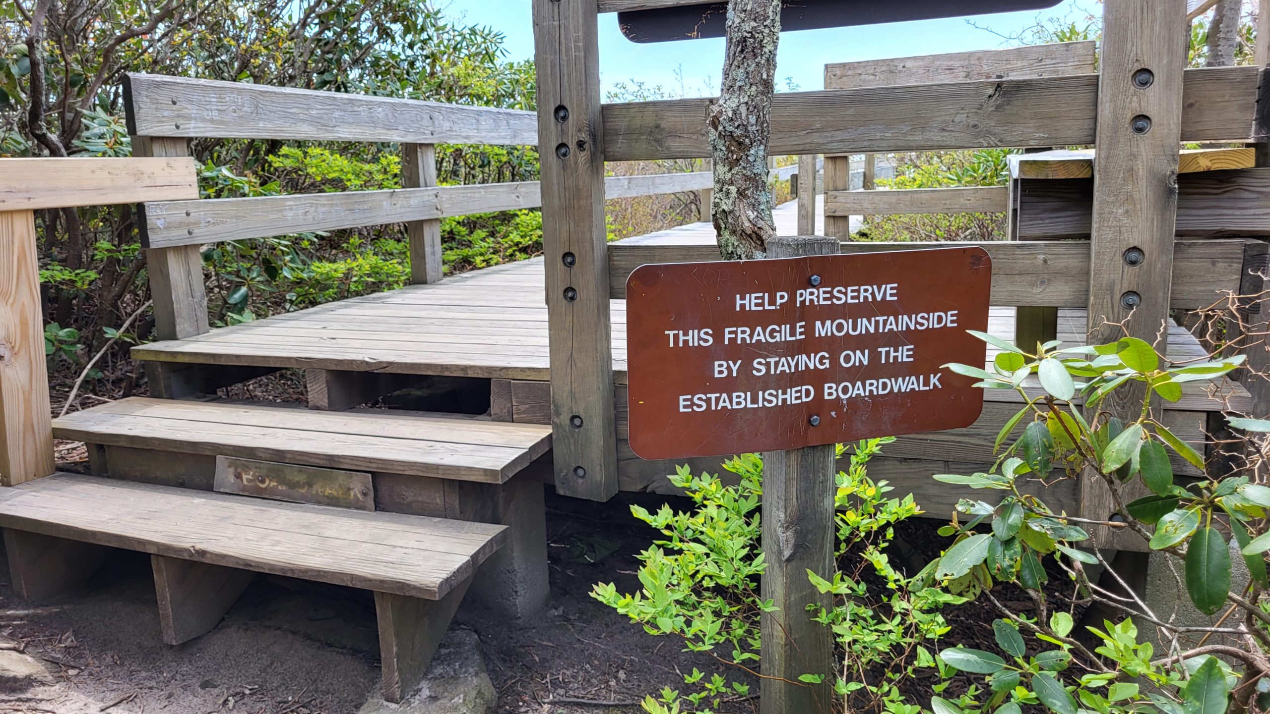
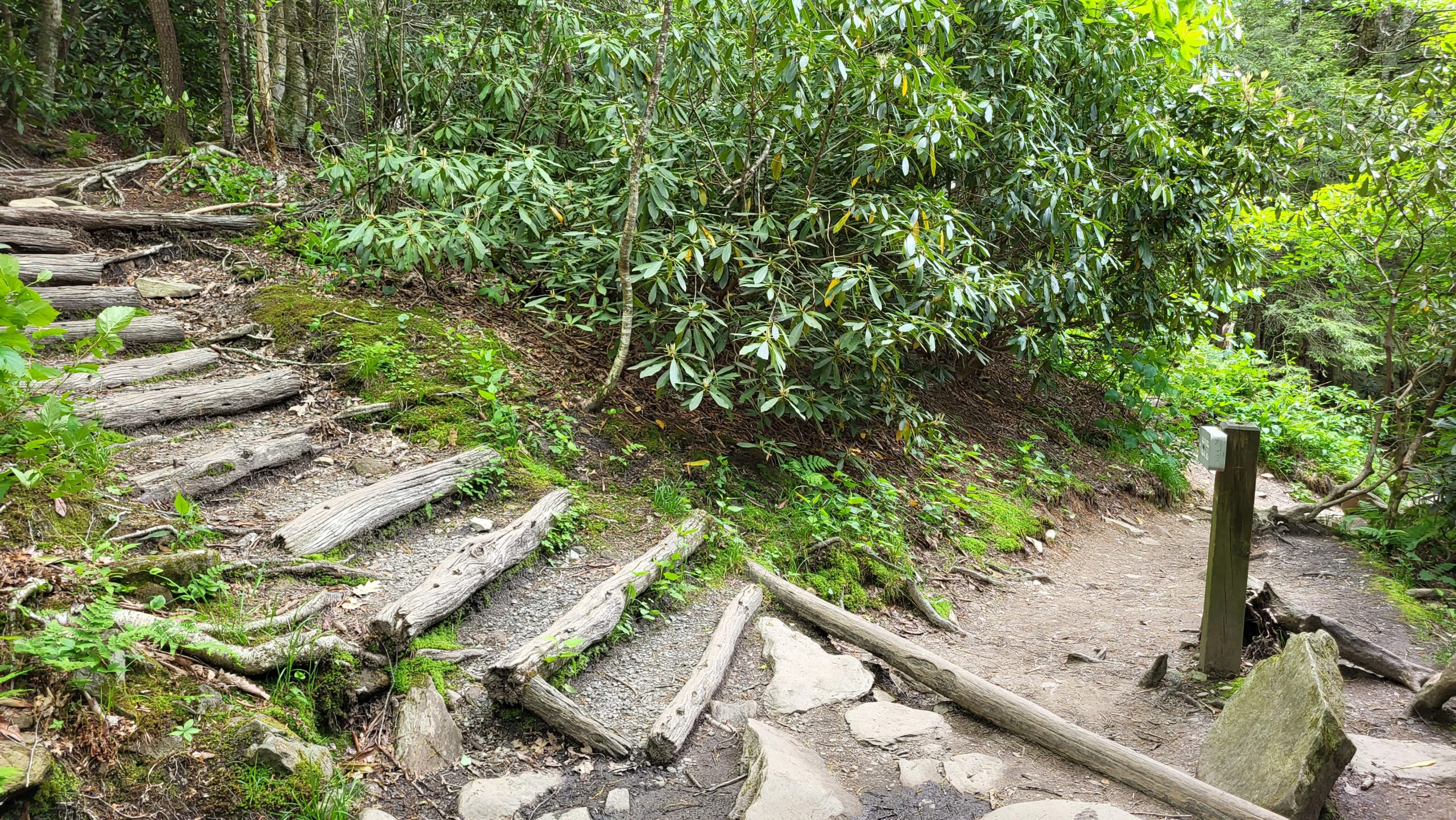
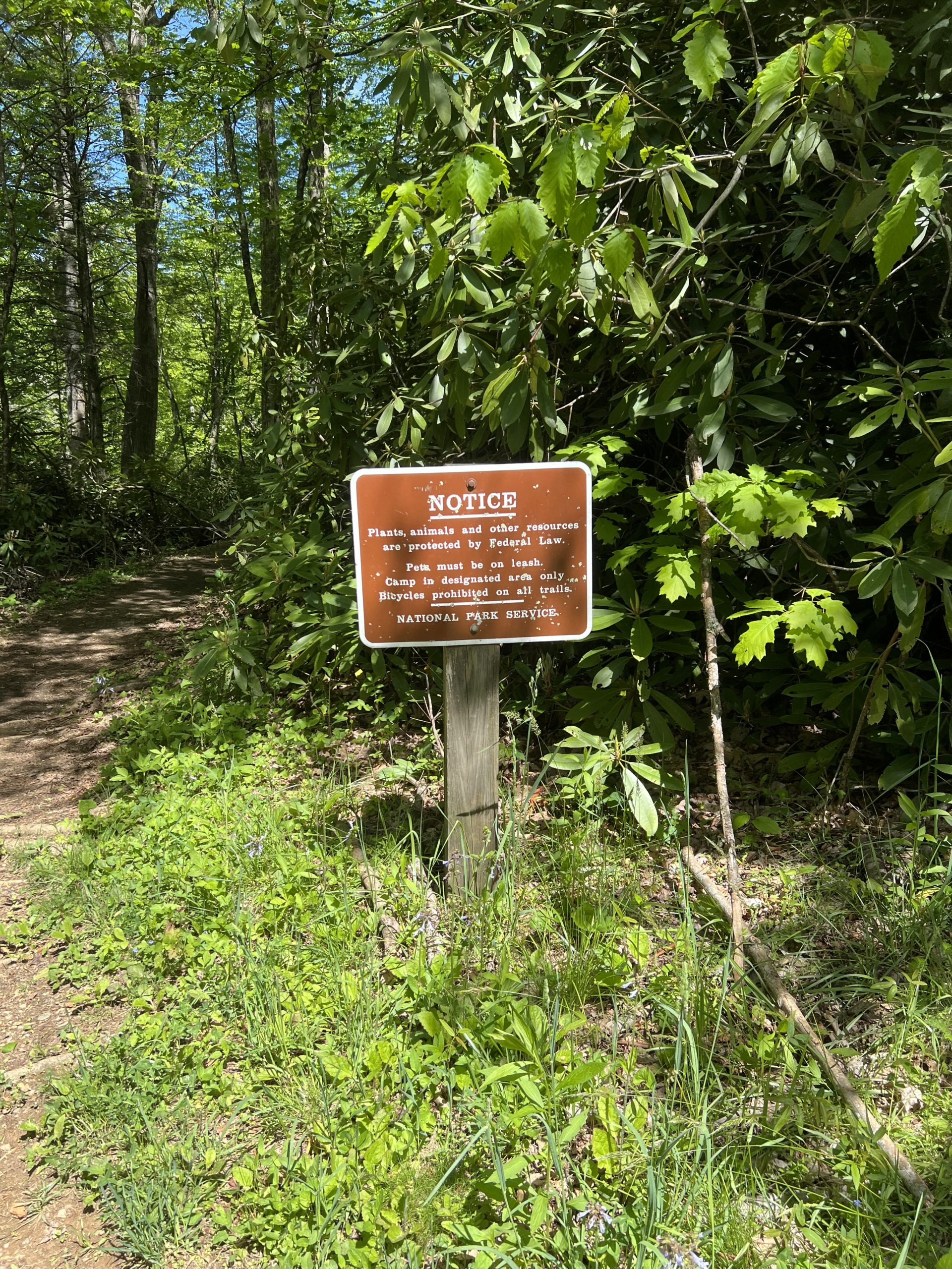
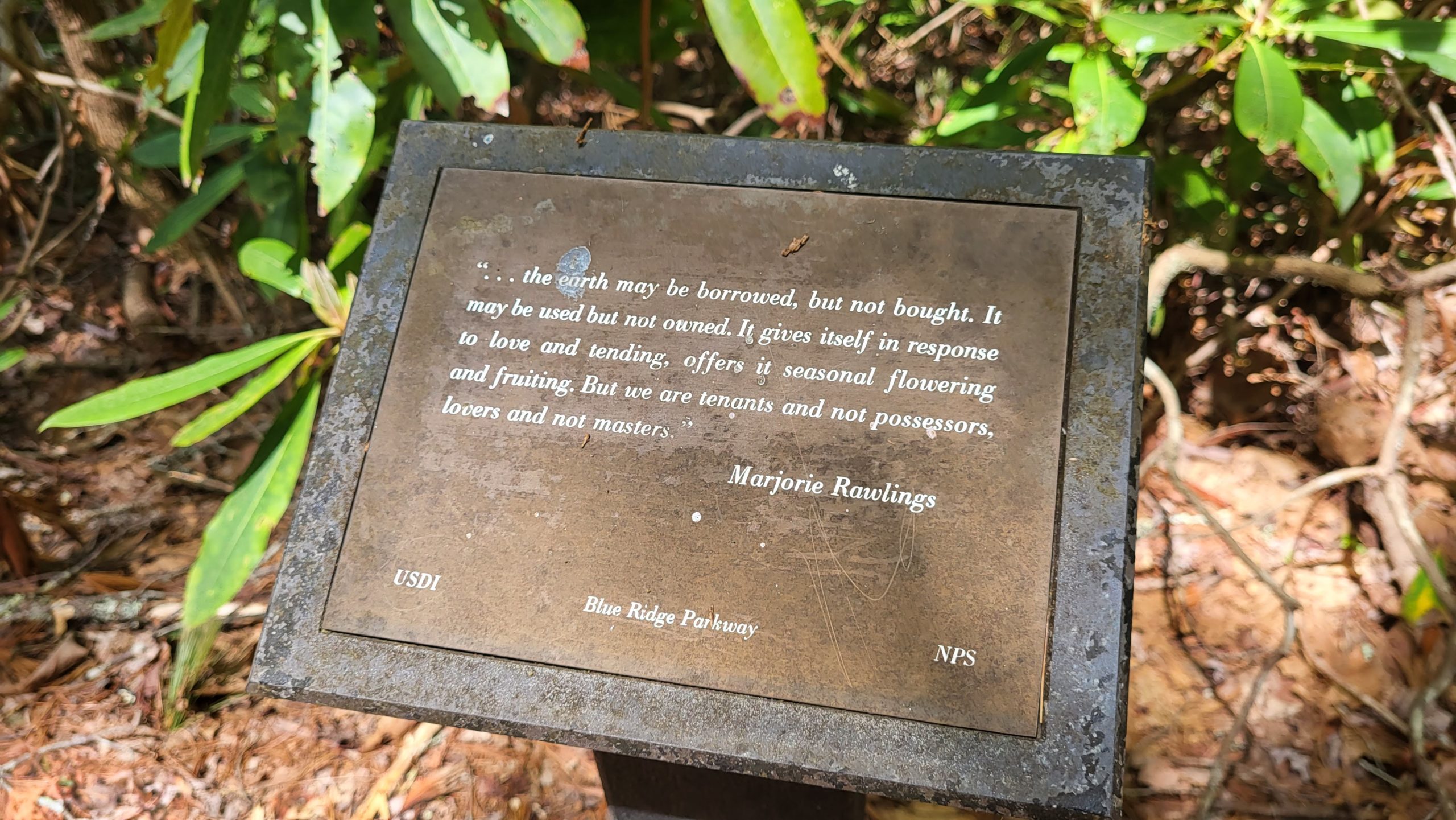
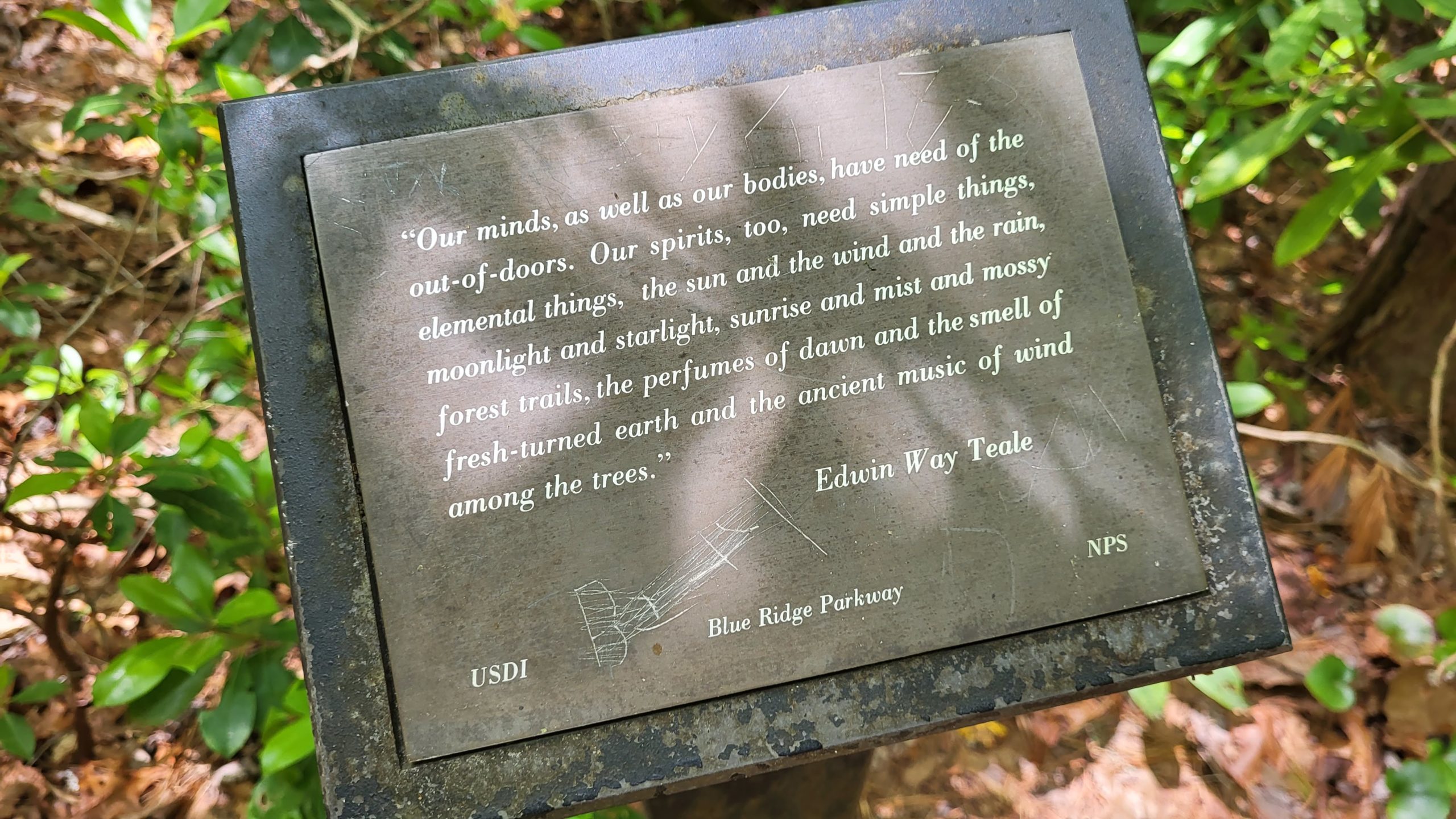
An important note about Rough Ridge: this area is a treasure that needs respect and care! In recent years the beautiful views have drawn an astounding number of visitors, making Rough Ridge one of the busiest spots on the Blue Ridge Parkway. Negative impacts have increased as inexperienced hikers wander off-trail, unaware of the damage of even a single footstep. The surrounding cliffside habitat is fragile and full of rare plants that are critically threatened by this activity. In an effort to keep habitats and hikers safe, the Park Service has increased educational elements and cautionary signage on the trail around Rough Ridge. Please stay on the trail! Most people access the views by hiking in from the Rough Ridge Overlook parking area, without knowing the path is part of a much longer trail. As a result, Rough Ridge Overlook is often overflowing, creating dangerous blind spots for Parkway drivers and pedestrians. If a trail parking area is full, move to an access point further along the trail or come back another day! Ideally, we can share beautiful places like Rough Ridge with their natural residents, and keep them beautiful and healthy for future enjoyment. It’s up to all of us to protect and preserve the outdoor places we love! Learn more about reducing your impacts in the outdoors with Leave No Trace principles.
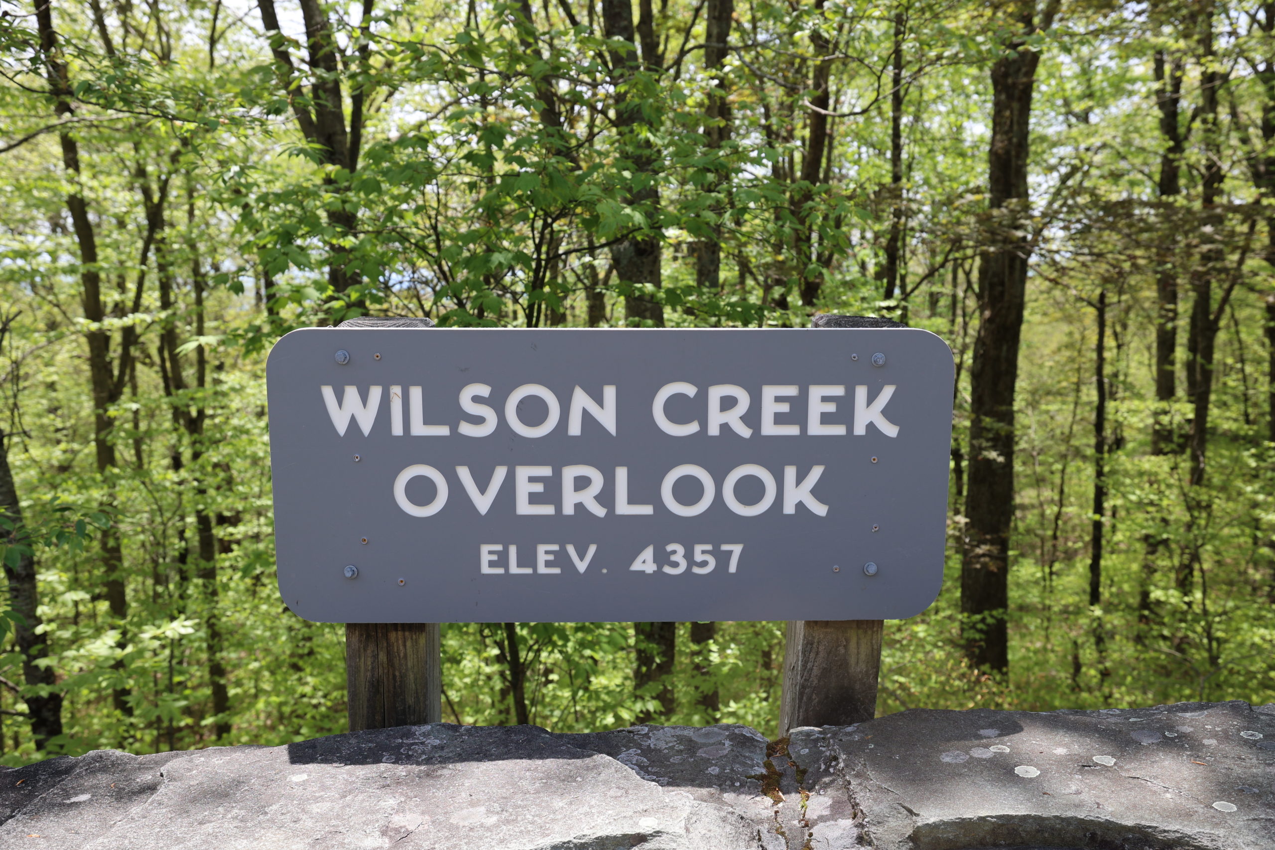
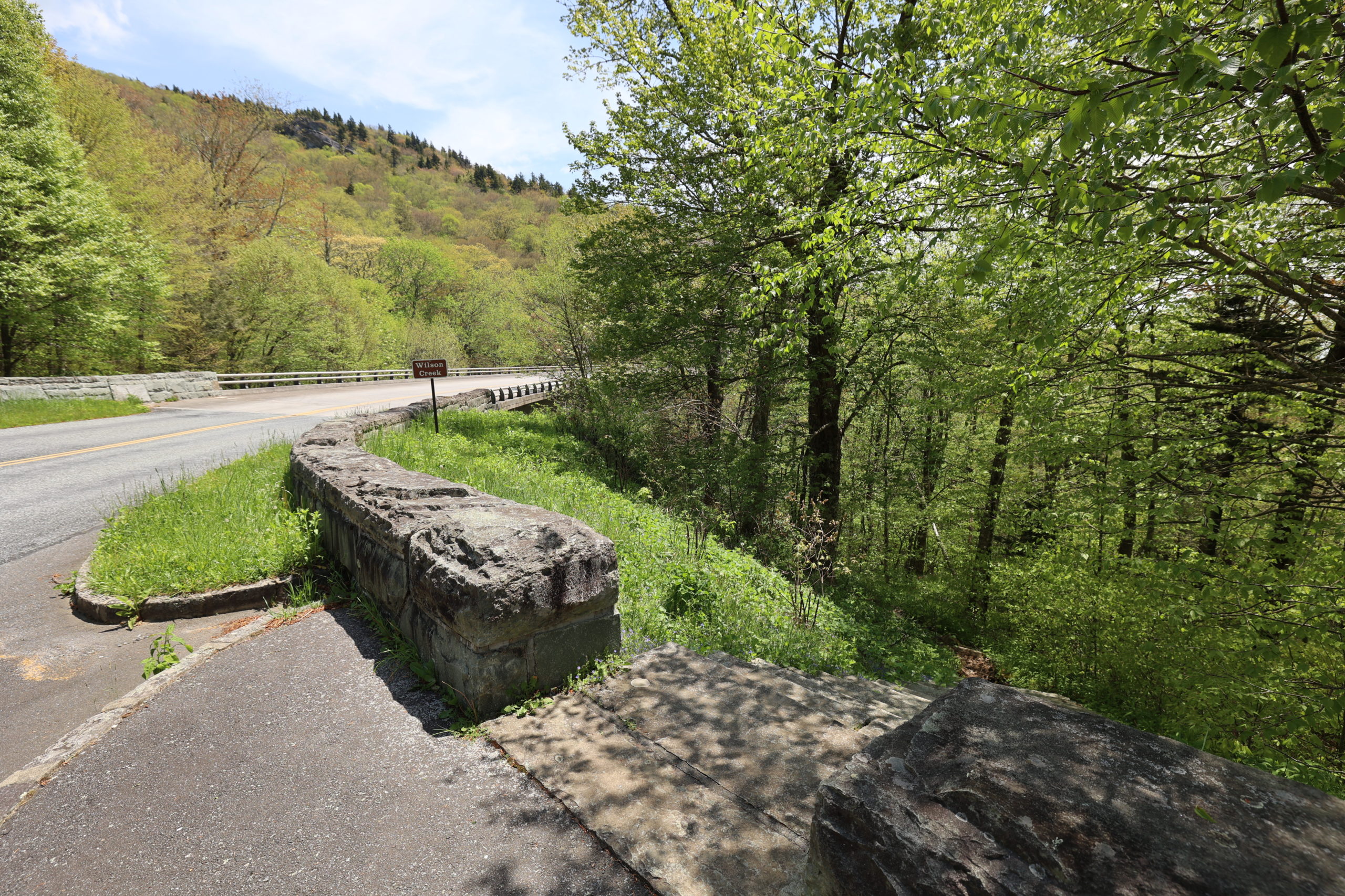
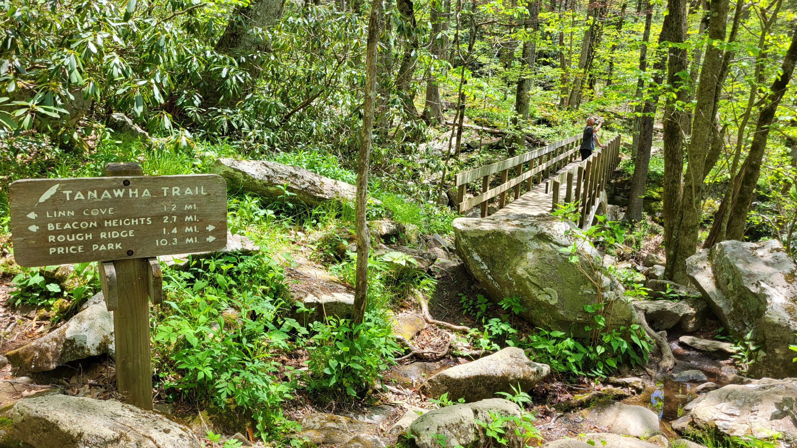
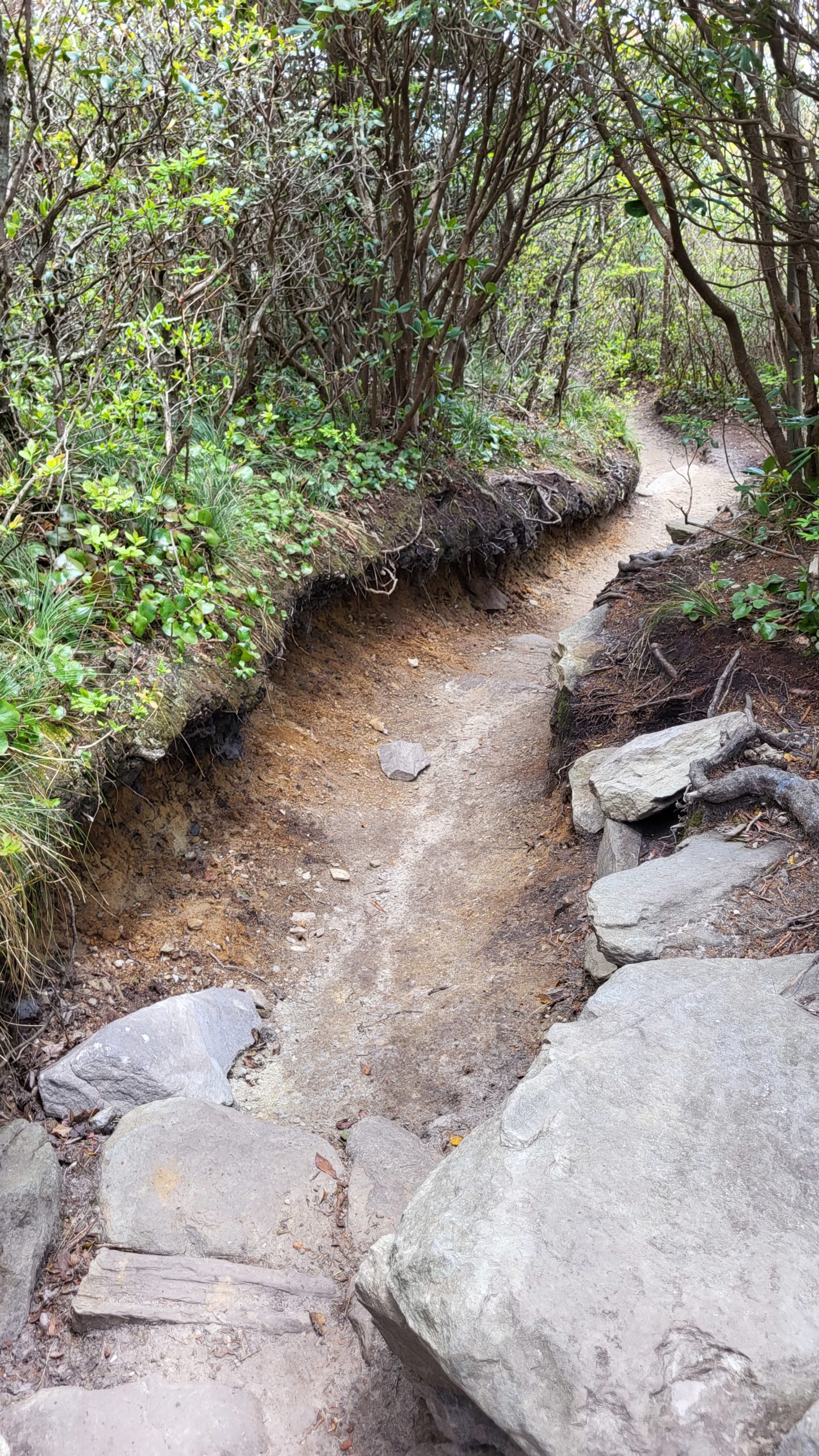
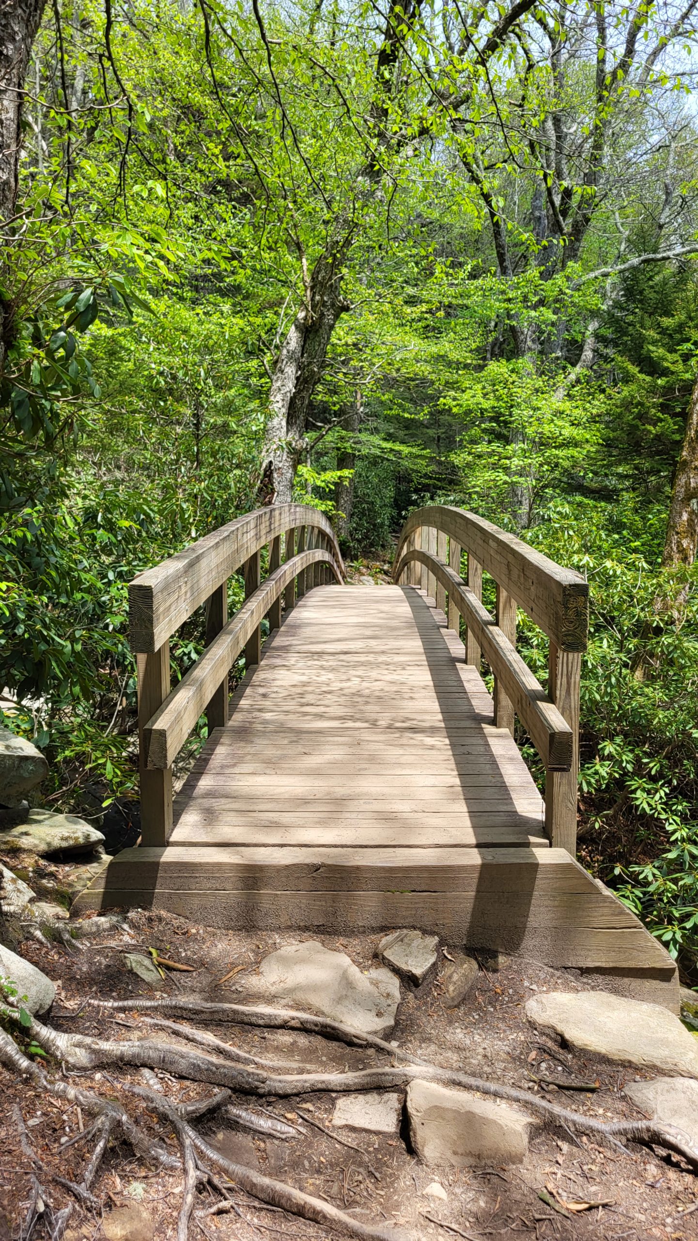
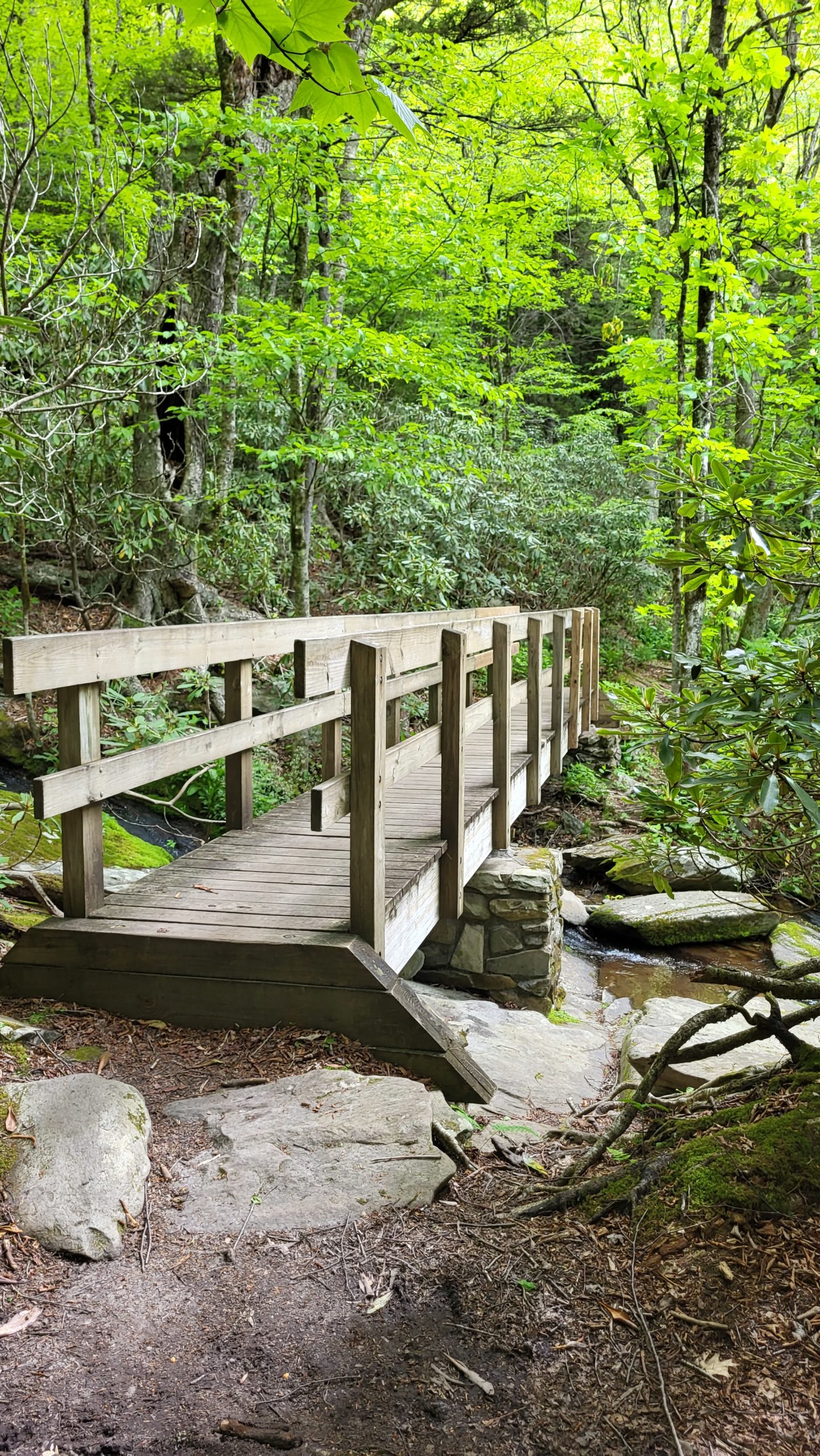
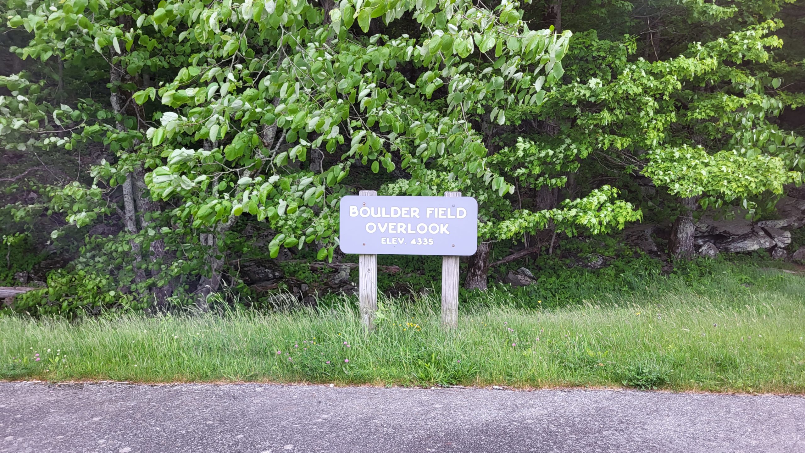
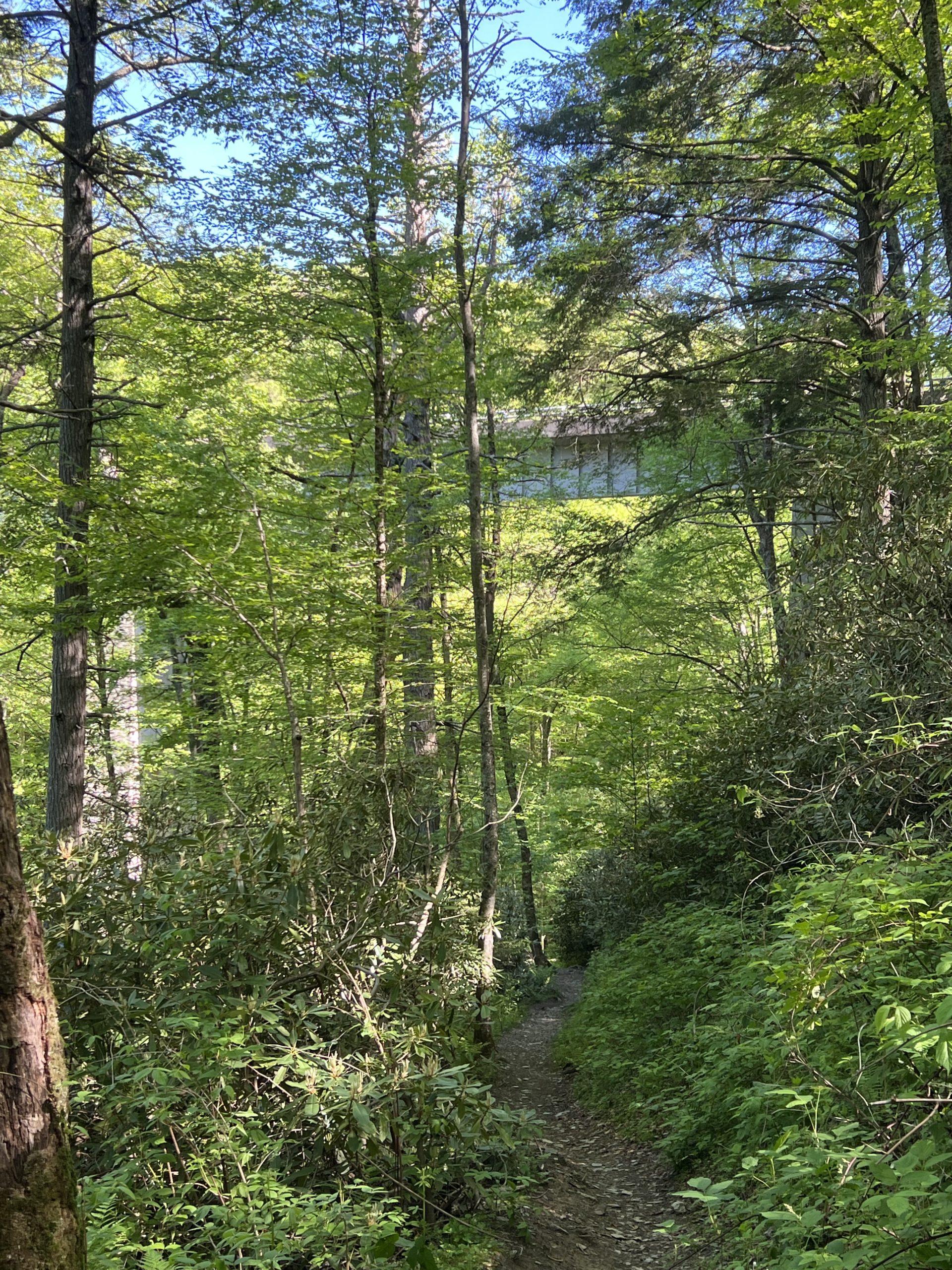
We started this hike at Wilson Creek Overlook, where a set of stone steps descends from the overlook to provide access to a connector trail. Simply follow the connector trail under the Parkway bridge and continue up a short slope to the intersection with Tanawha Trail. A sign notes the direction to other points on the trail; head right (east) across the footbridge toward Rough Ridge. Through a forest filled with massive boulders, the trail climbs gently for a while. Just before Rough Ridge, the incline increases rather sharply, but the views are well worth the climb. Boardwalks on the ridge provide safe crossing over fragile colonies of low-growing heather and other cliffside flora. The trail descends to another footbridge and the connector trail to Rough Ridge Overlook parking. Stay to the left at the mileage sign here, following the timber steps uphill into a spruce and hardwood forest. After about another half mile, a third footbridge stretches over a stream and the trail is somewhat wetter on the other side, crossing springs and more small streams along the way to the next connector trail intersection. This section follows quite closely to the roadway and you’ll likely hear vehicles passing. There were a few fallen trees across the trail on this section as well. At the next mileage sign, Tanawha Trail continues uphill to the left toward Daniel Boone Scout Trail, and a connector trail leads right and down to Boulderfield Overlook. (On the Tanawha Trail map, this location is noted as Raven Rocks Overlook.) Turn around here and retrace the trail, enjoying the new perspective! Plan to spend about 2 hours each way for this hike, about 4 hours total out-and-back.
Getting There:
Wilson Creek Overlook is on the Blue Ridge Parkway at milepost 303.6, about 9 miles south of Blowing Rock. This hike can also be completed one-way if you plan the hike with a group and two vehicles. Park one at Boulderfield Overlook at milepost 302.4 and then drive to Wilson Creek Overlook to begin the hike.
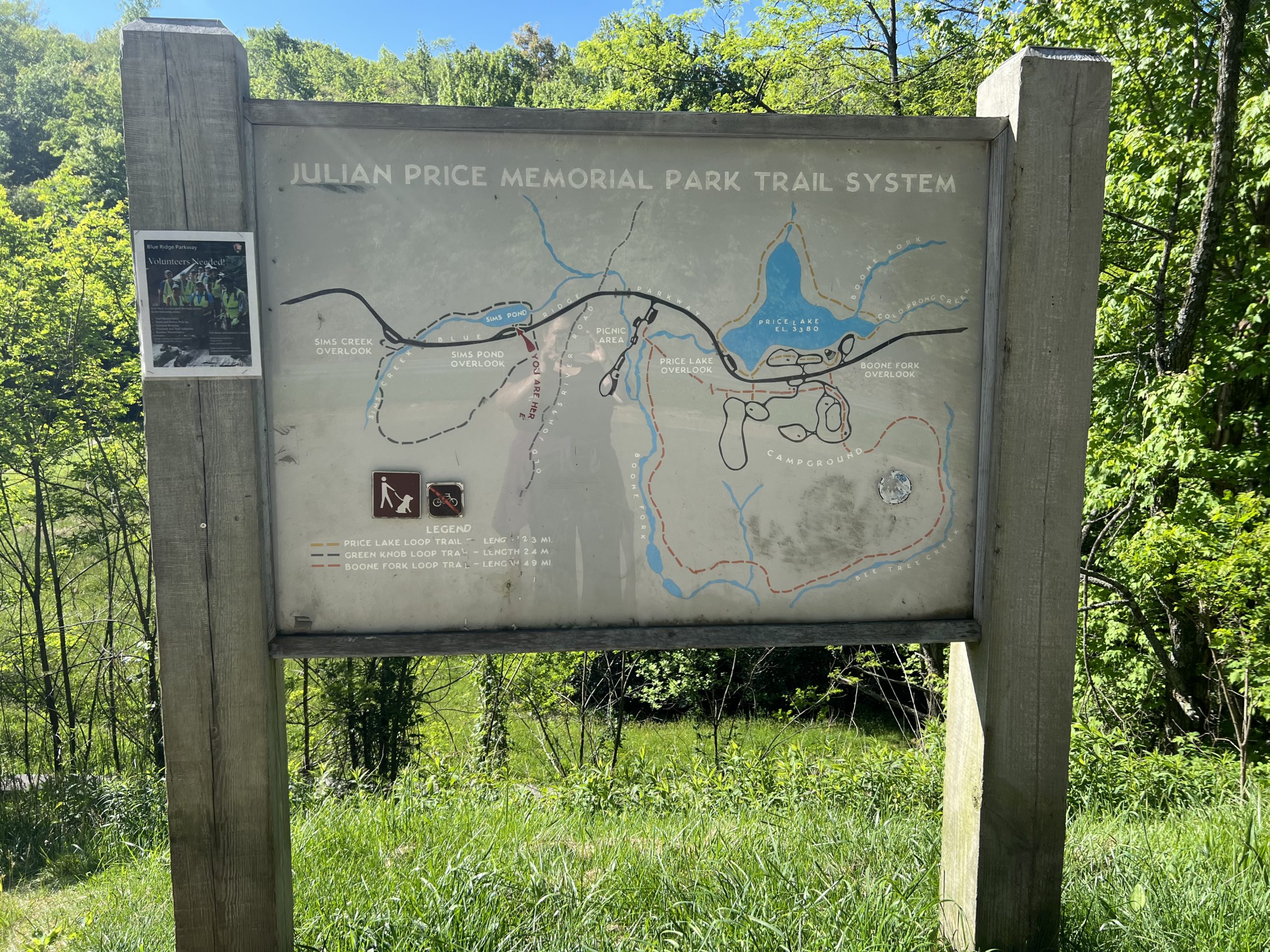
Green Knob Loop
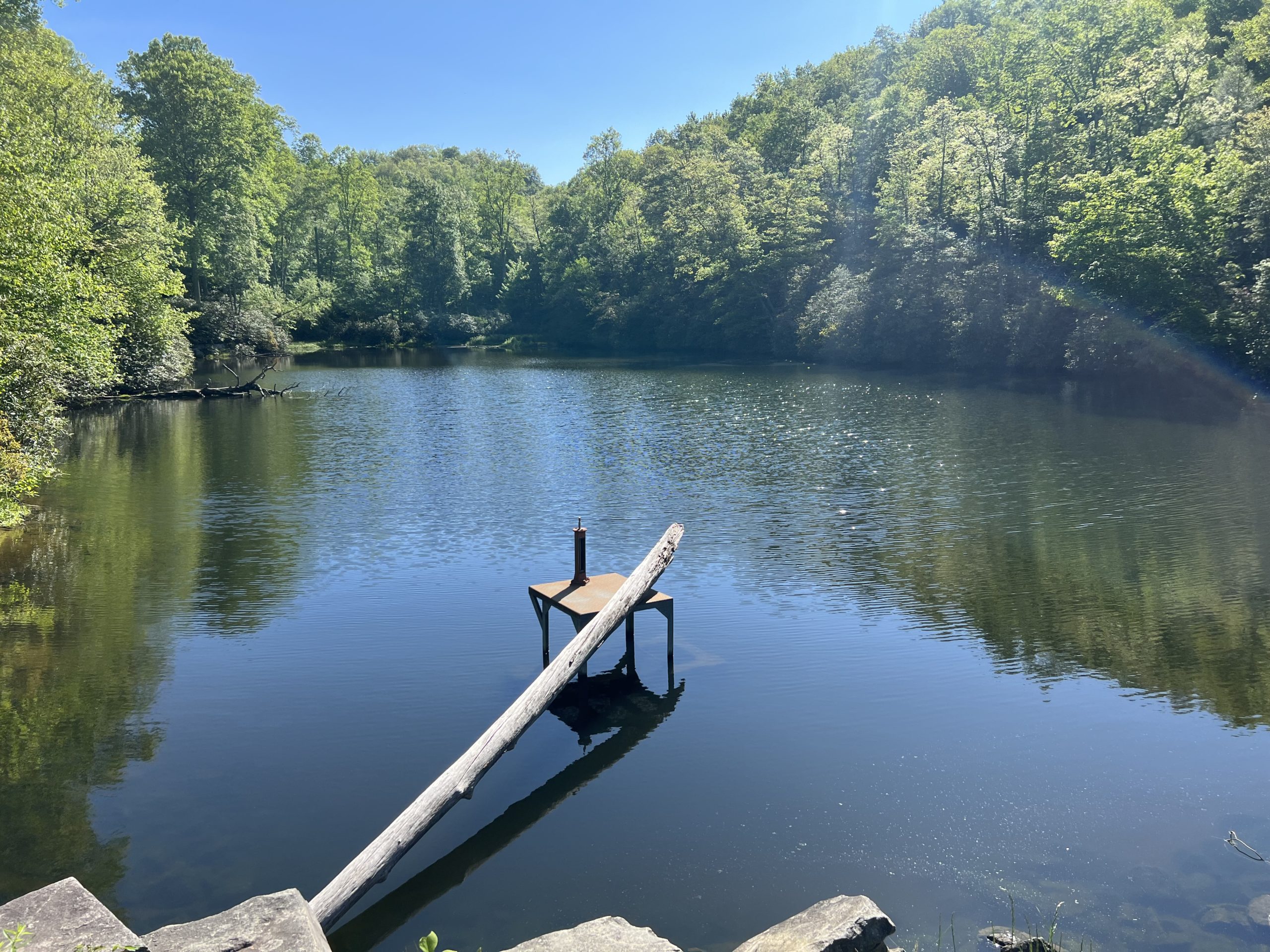
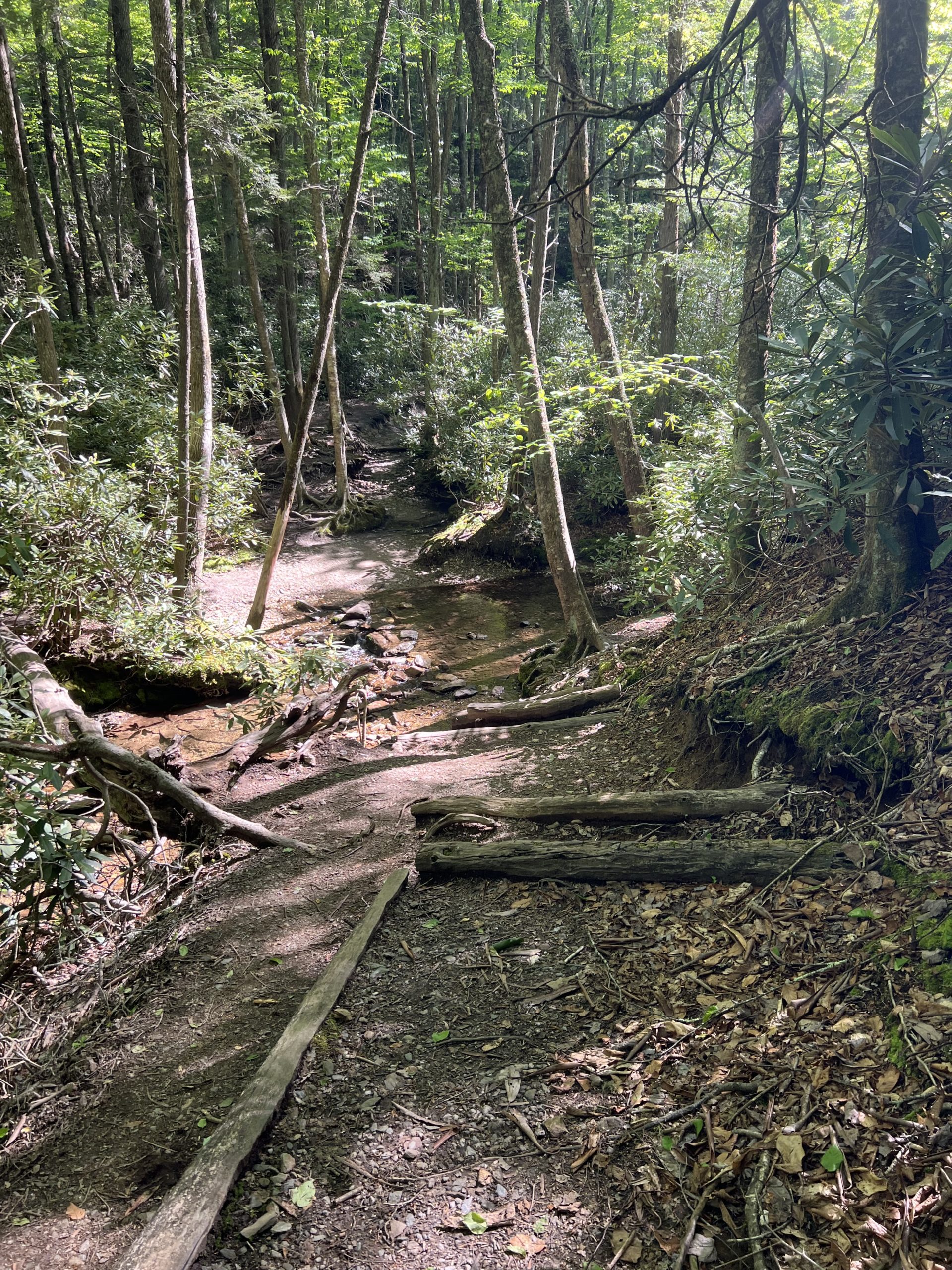
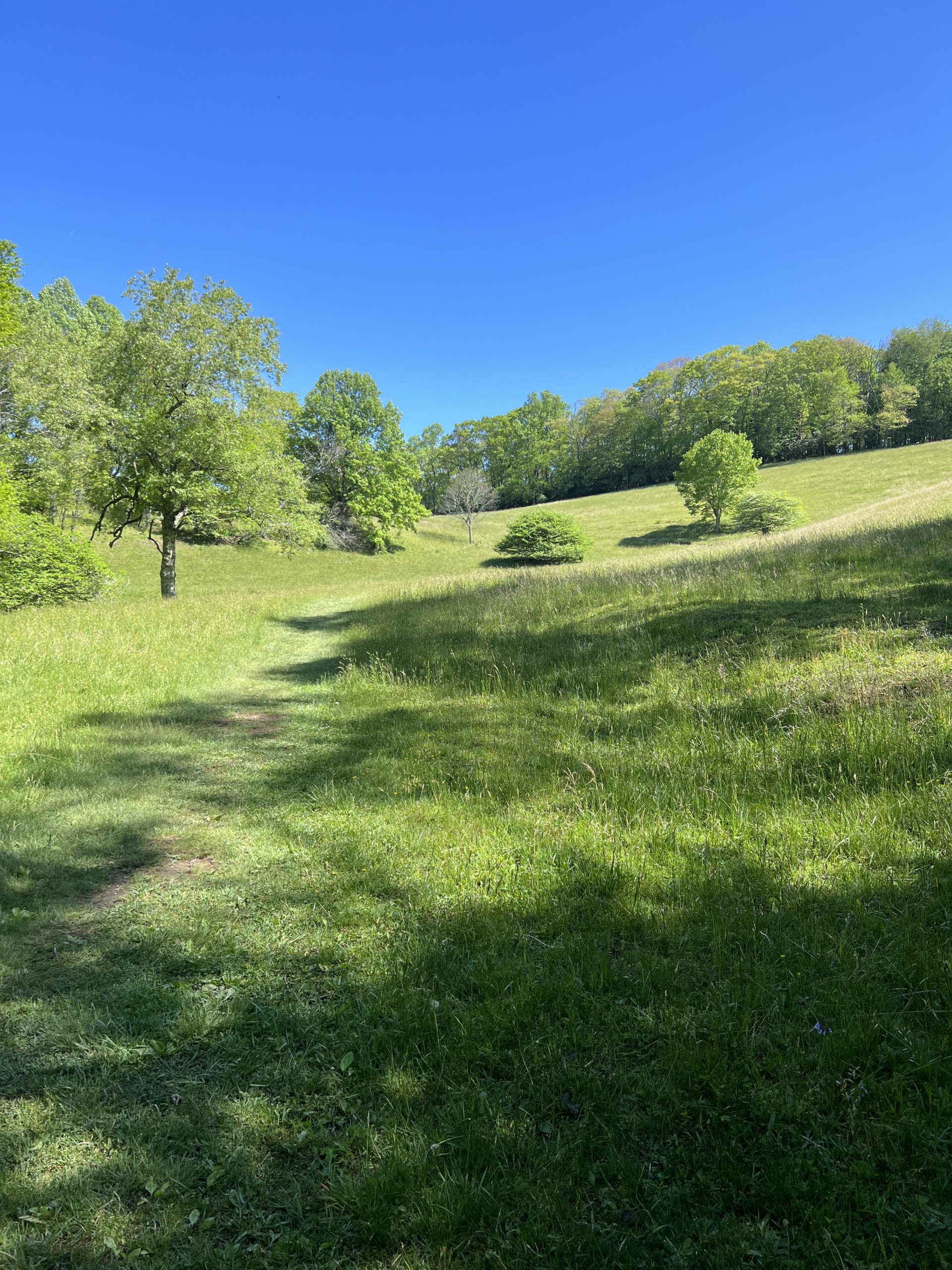
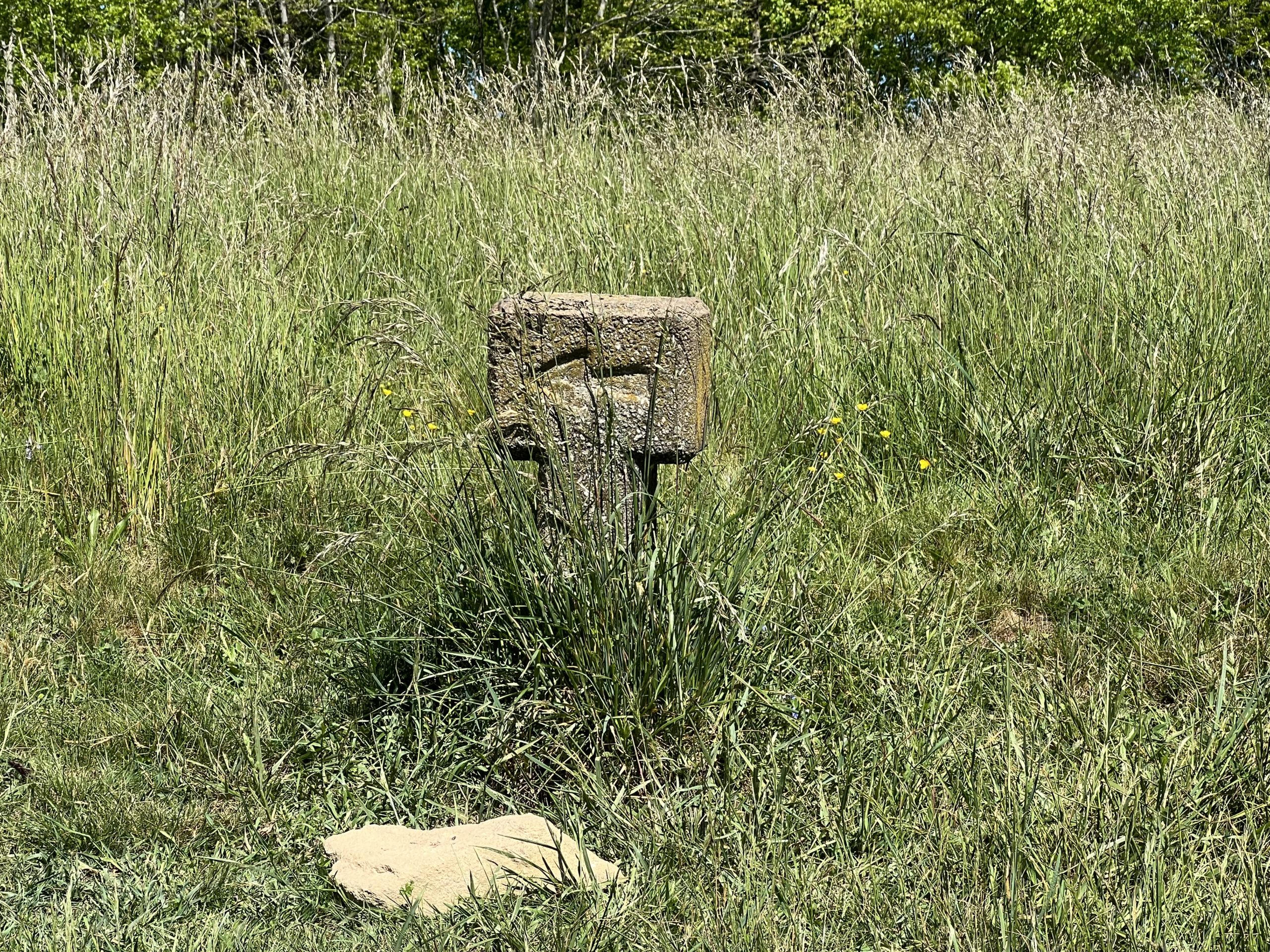
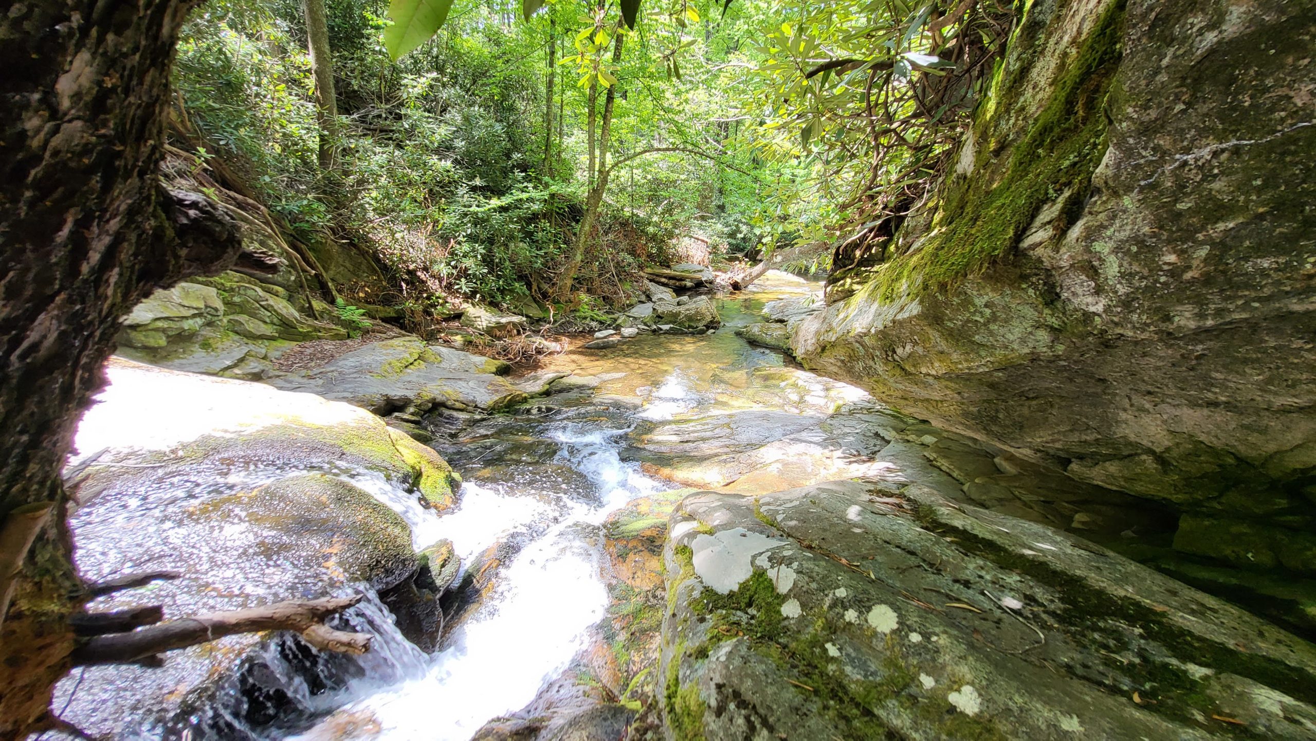
To start this trail we parked at the Sims Pond parking area and walked down to access the trail next to the pond. We highly recommend starting the trail with the pond on your left and walking counter clockwise. It is still steep in areas, but is a much more gradual climb than going the other direction. The first portion of the trail is not marked but is fairly clear. It follows along with Sims Creek and crosses the creek multiple times. Due to the proximity of water, there is also mud and bugs (wear your insect repellent). However, the hike itself is beautiful and shaded during this part. The banks are verdent and covered in moss. It also passes directly under the Parkway. The trail gradually climbs uphill and opens up into a pasture. It is a lovely opening though with wildflowers and a bench for resting halfway up. The pasture is where we began to see the stone arrow markings directing us on the path.
Trail Length: 2.3 mile loop
Difficulty: Moderate to Strenuous
Surface: Dirt
Trail Use: Hiking only, leashed dogs ok
Blaze: N/A There are arrows used to mark the second half of the trail.
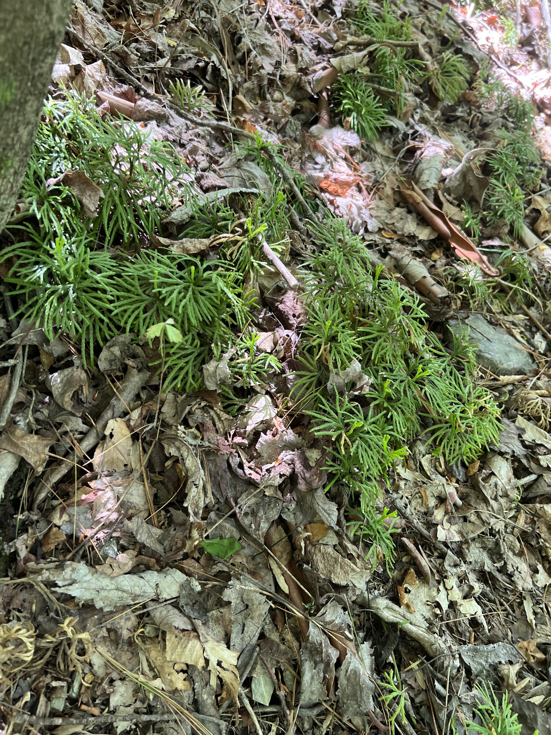
You pass into woods again, then come out to another clearing. We encountered lots of grasshoppers at this part of the hike as well as lots of ground cedar, a type of club moss. You begin to descend rather steeply and there is a really nice view of Grandfather Mountain through the trees. At this point you are almost to the end of the trail. You continue to descend all the way back. The trail ends across the Parkway from the parking area. This trail was enjoyable because it is so varied. You get to see forest, fields, streams, flowers, and a nice view of the mountains. It really was a satisfying hike. At 2.5 miles it’s not too long, but it is moderate to strenuous. This hike was supposed to take 1.5 hours however, it took us a little over 2 hours as we stopped and rested and took pictures, etc.
Getting There:
Turn onto the Parkway from 321 and head South towards Grandfather Mountain. Follow the Parkway past the Moses H Cone Estate then begin looking for Sims Creek parking area on the right. Once you pass the Sims Creek parking area, the Sims Creek Pond parking area will be coming up on your left. Turn left into the Sims Pond parking area and you will see the pond on your left as well. Begin the trail from here.
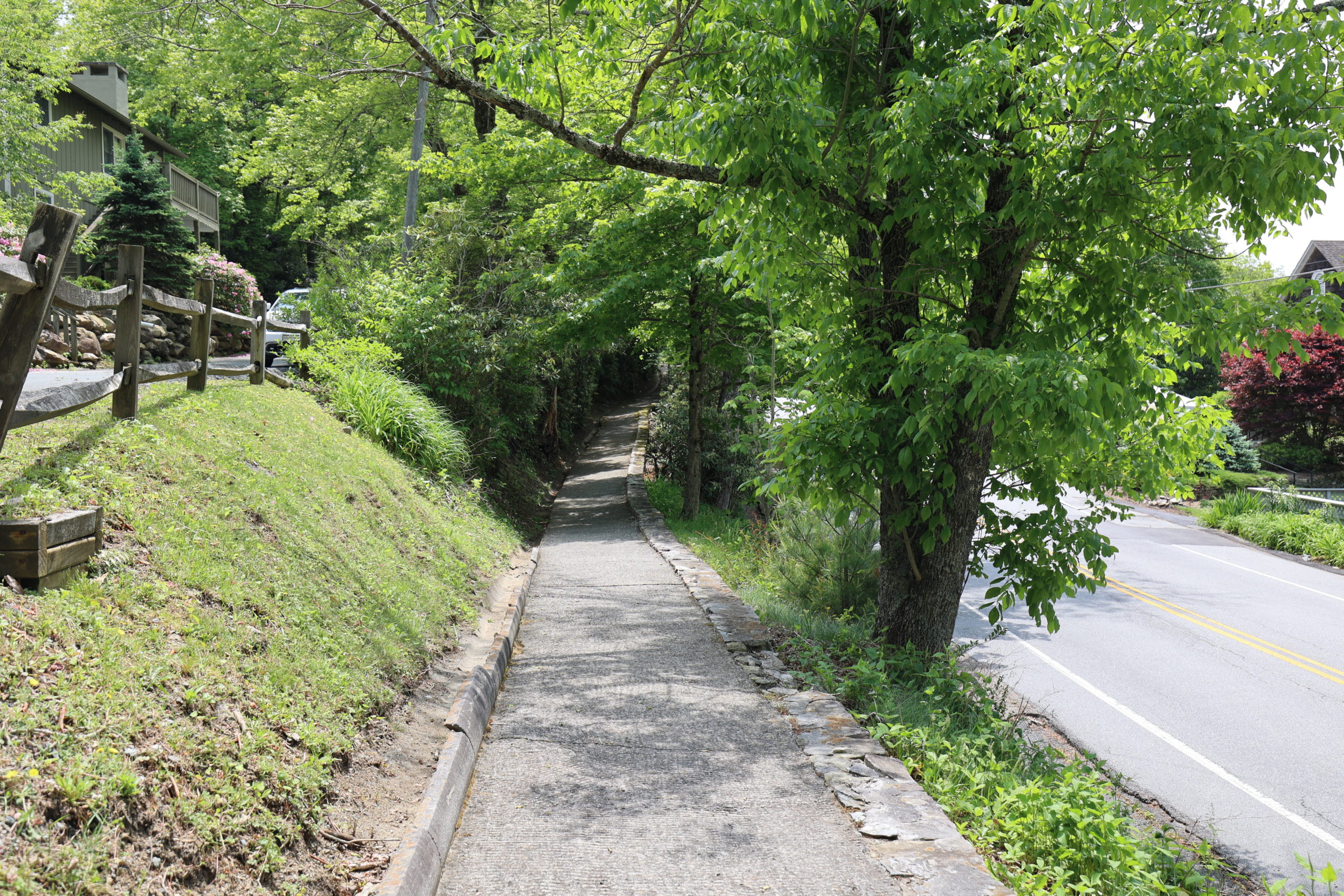
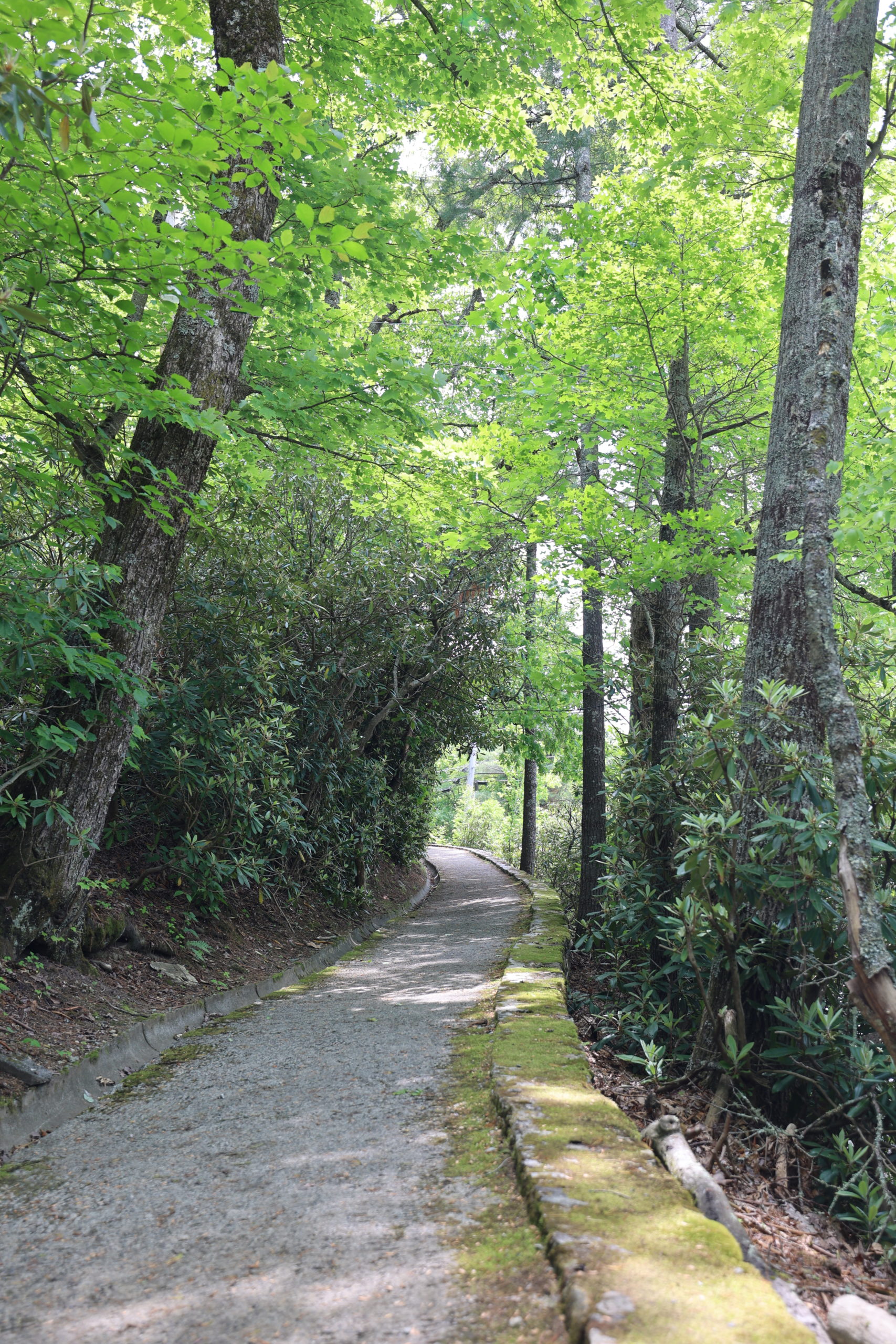
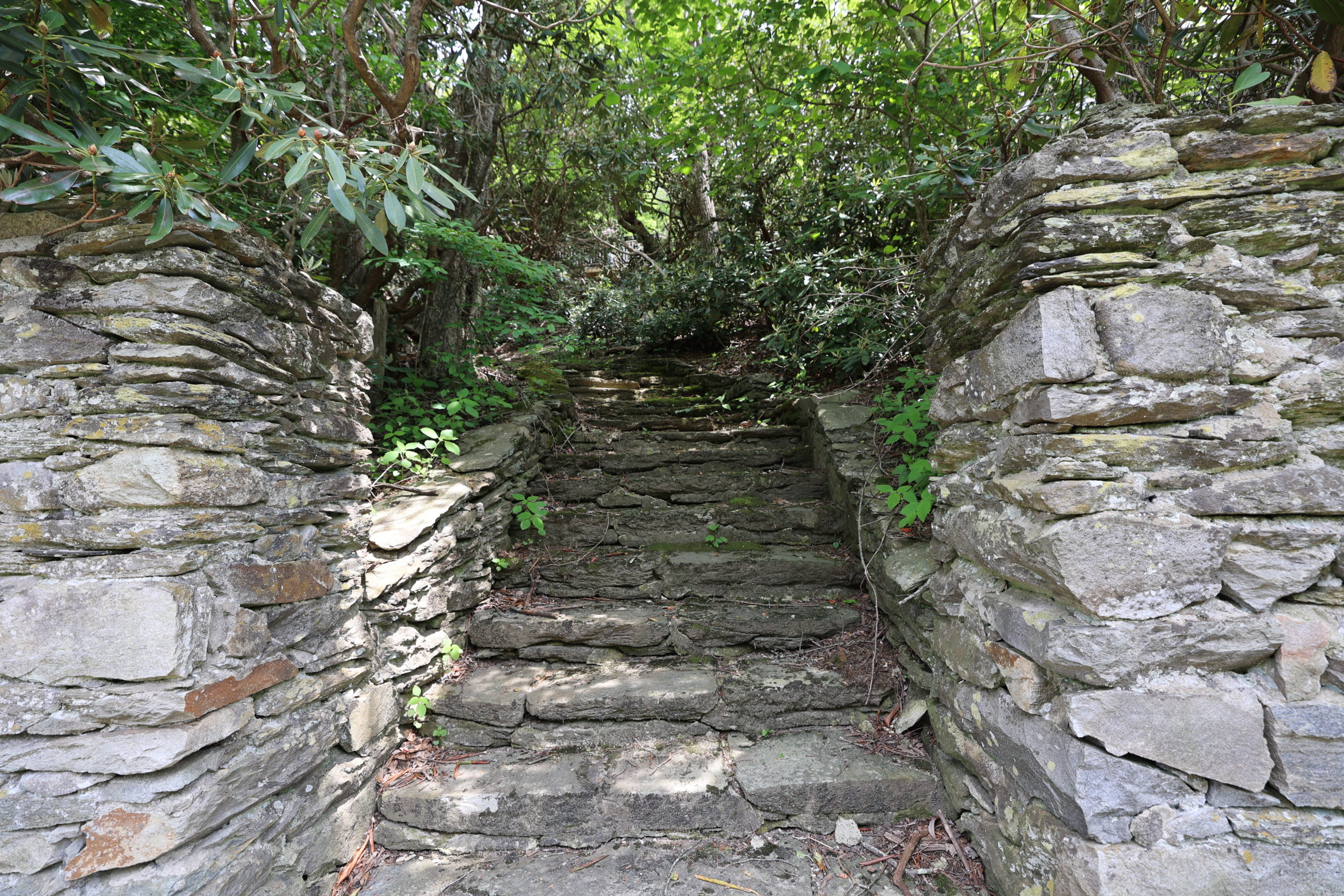
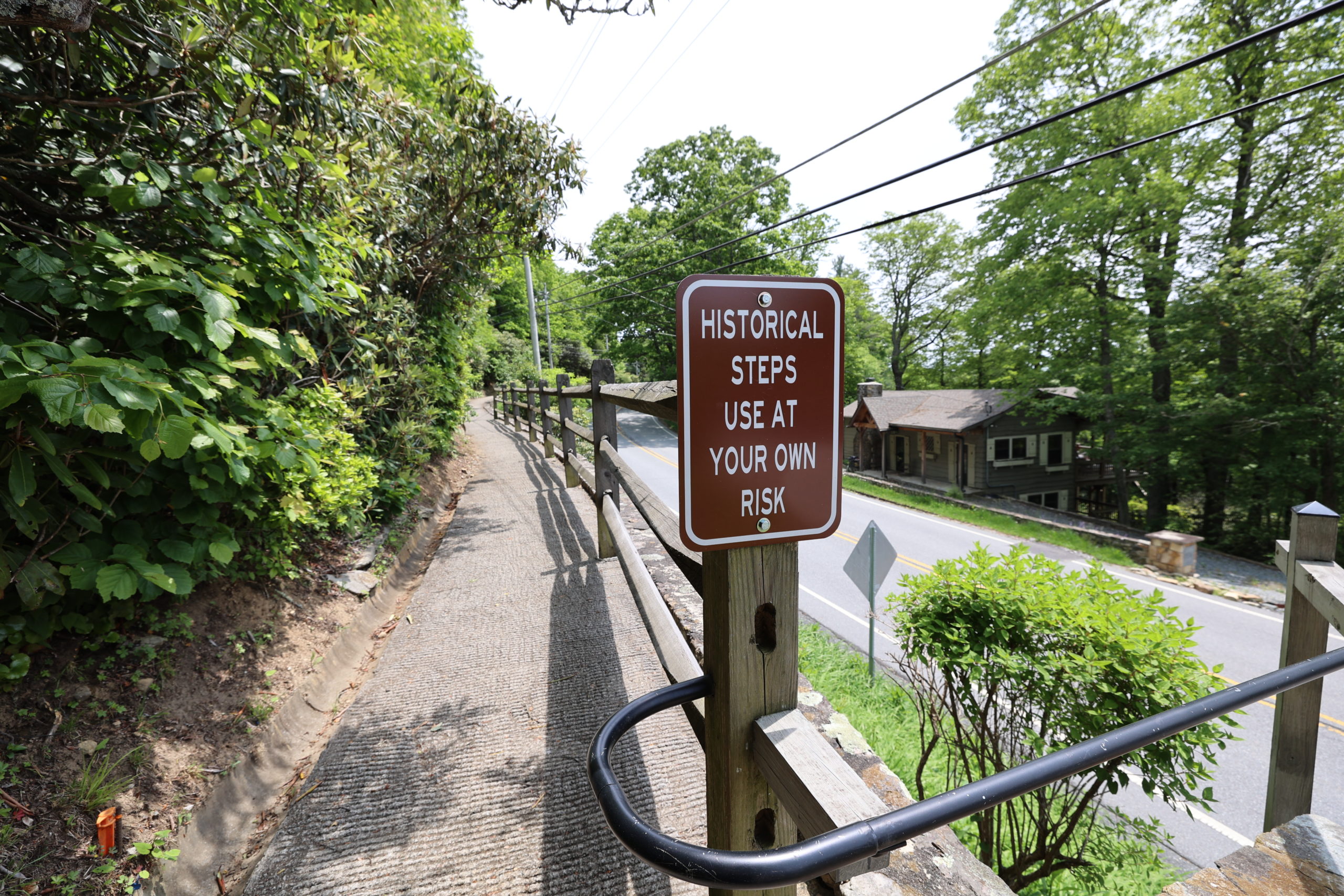
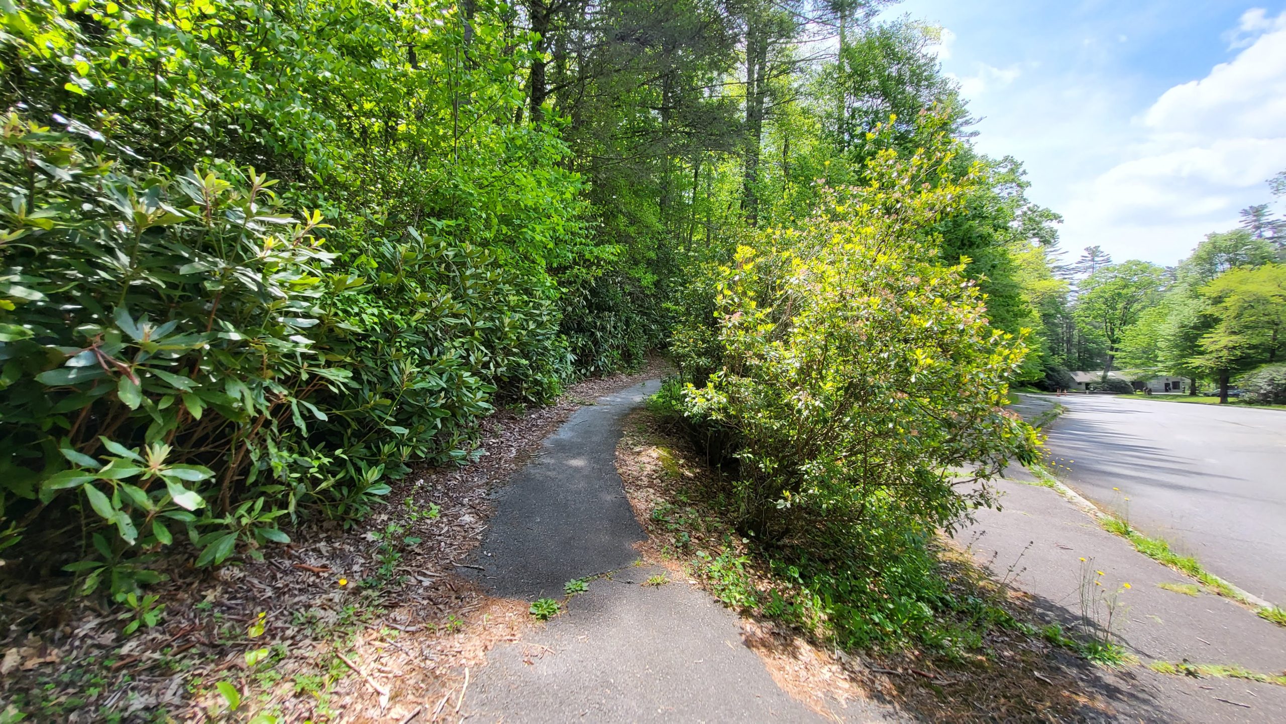
Blowing Rock Legacy Trail
We walked this hidden gem of a trail at a leisurely pace and it took us about an hour to complete. It goes all the way down Main St. to the intersection with Valley Blvd. and 321. It is a nice scenic walk, not too steep in either direction. There are lovely gardens to admire along the way as well as historic entryways to residential properties. The trail used to be a thoroughfare from Green Park Inn to the town, and these entryways illustrate that local landowners used to access the trail to get into town as well. One cool thing about this trail is that it connects to downtown Blowing Rock and if you take a left at the Valley Blvd. intersection, it can connect you to the Holiday Inn Express. It is about a mile walk, so if you like walking, you can connect from one to the other.
Trail Length: 1 mile (2 miles out & back)
Difficulty: Easy to Moderate
Surface: Broken pavement & Sidewalk
Trail Use: Walking only, leashed dogs ok
Blaze: N/A
Getting There:
To access the Blowing Rock Legacy Trail, we parked at BRAHM (Blowing Rock Art & History Museum). We then crossed Main Street and walked past the Episcopal Church and up the hill at Village Green Apartments. You will start up the driveway, but the trail veers off to the right shortly up the hill. There is a green doggy station at the beginning of the trail head.
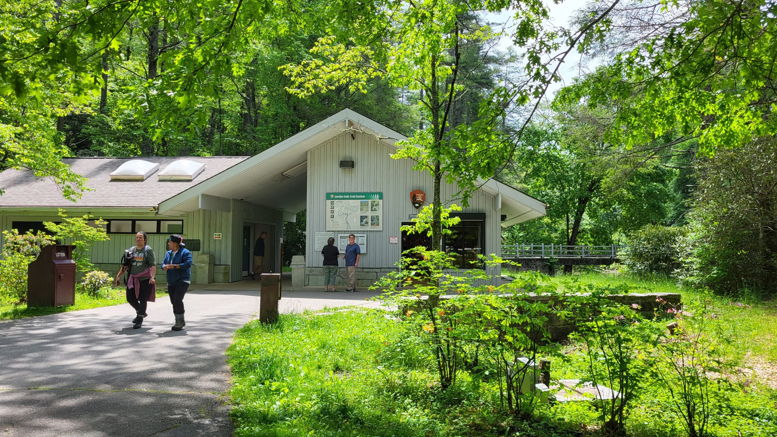
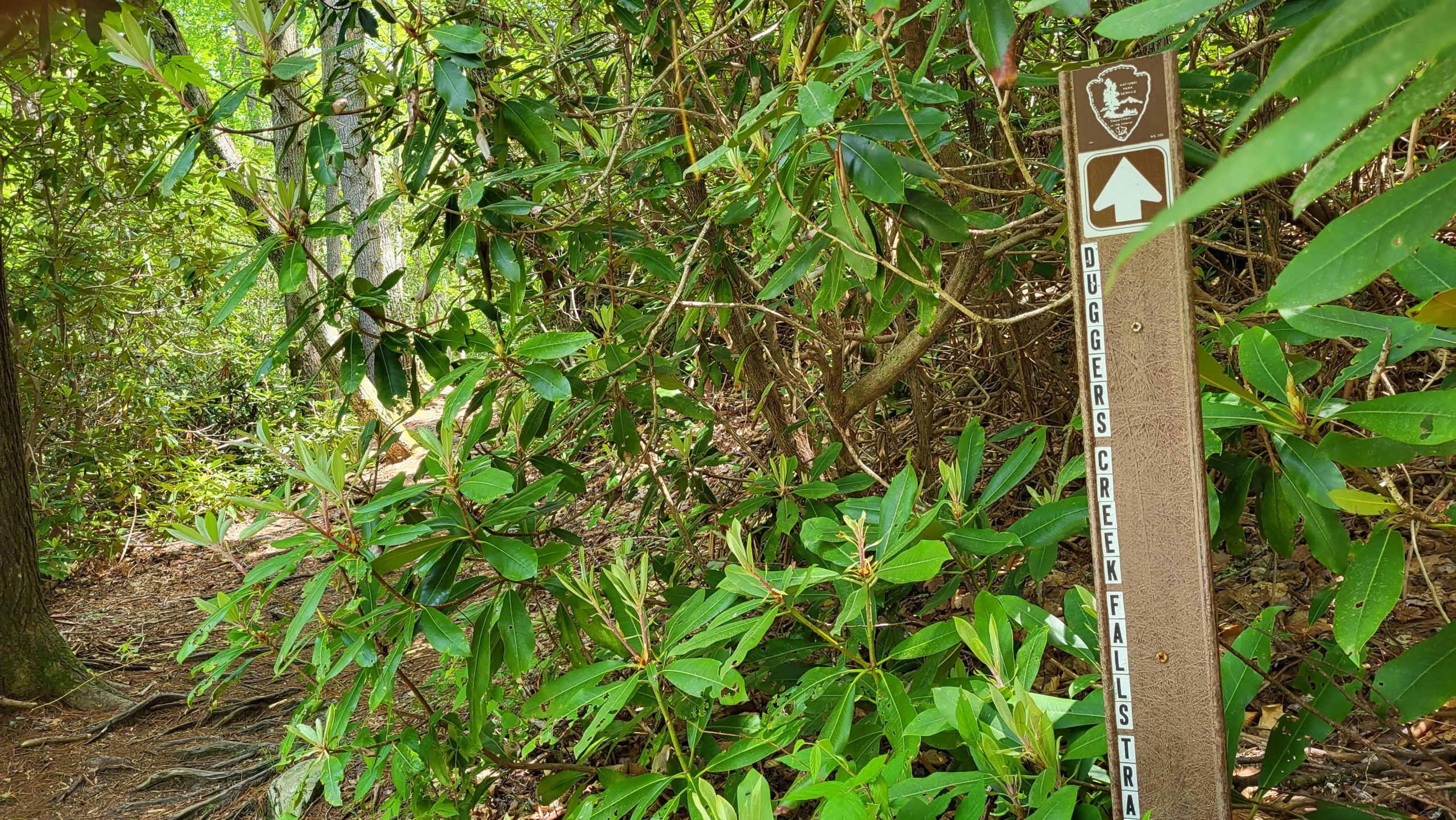
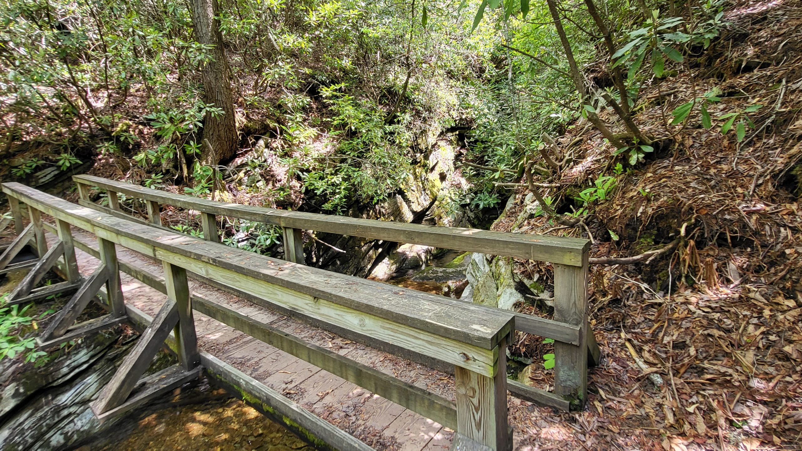
Duggers Creek Falls Trail
This short trail packs a lot of punch with a beautiful little waterfall. It follows Duggers Creek which feeds into Linville River. It is a part of the Linville Falls Trails and can be accessed from the parking lot of the Linville Falls Visitors Center. The trail has plenty of Rhododendron and Galax along the trail, surrounded by White Pine, Oak, Hickory, and Birch. It is the shortest hike that we’ve done so far. Proper hiking shoes and packing water are still recommended.
Trail Length: 0.3 Mile
Difficulty: Easy to Moderate
Surface: natural terrain
Trail Use: hiking only, leashed dogs ok
Blaze: N/A
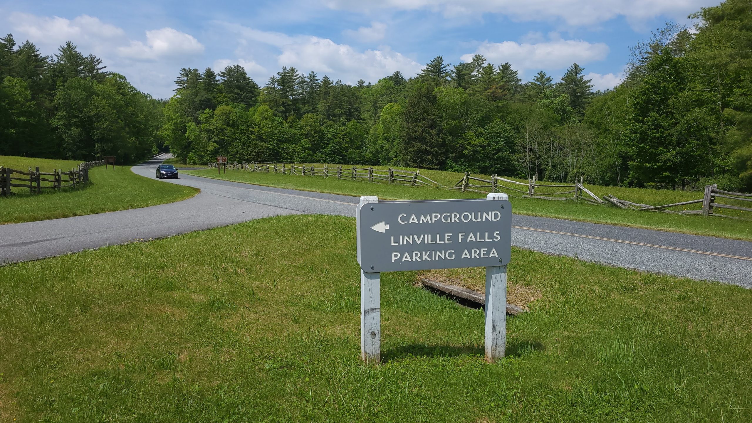
Getting There:
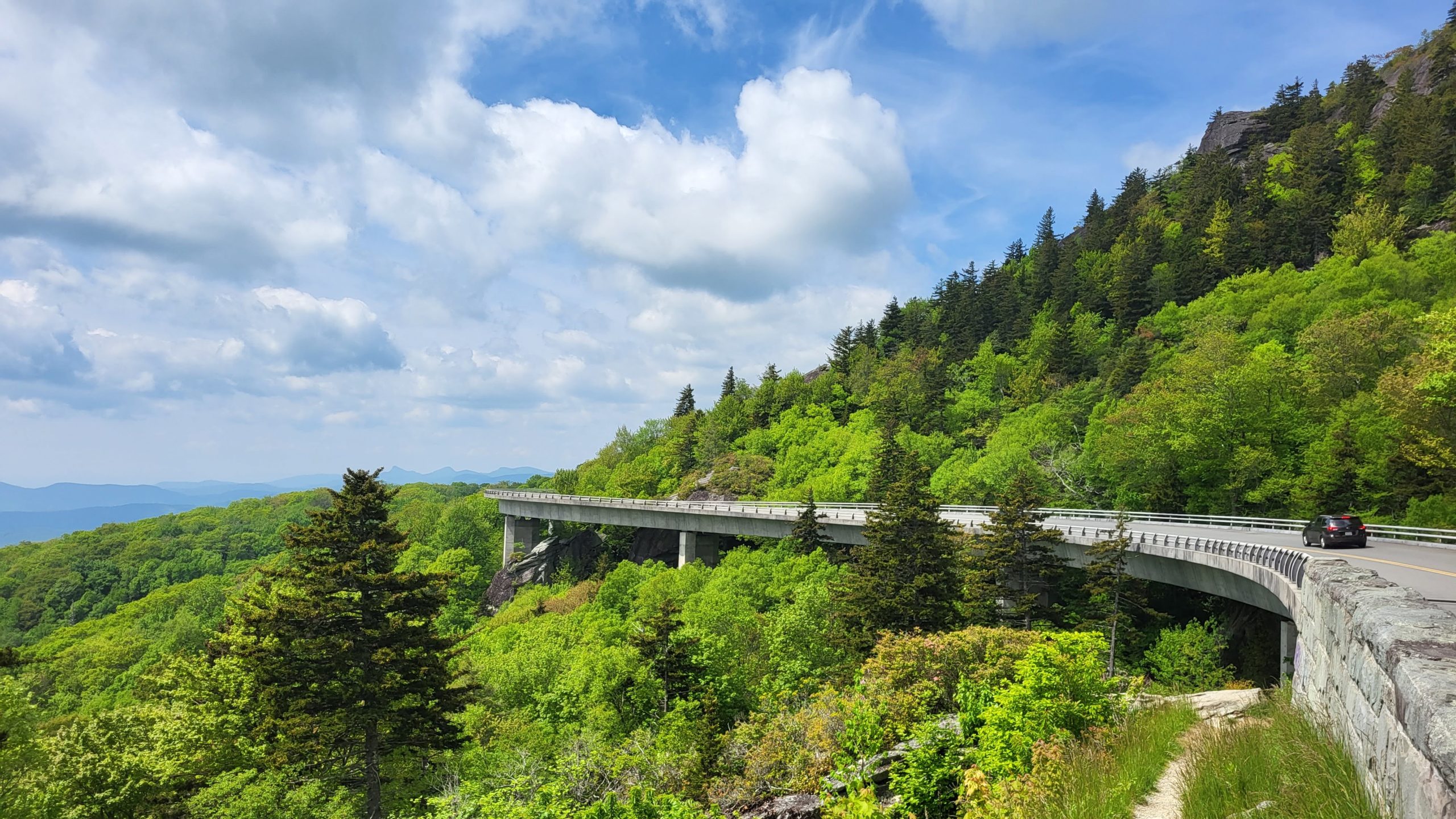
It is about 26 miles from Blowing Rock, takes about 40 minutes to drive to, and can be accessed by crossing the famous Linn Cove Viaduct on the Blue Ridge Parkway. The Linville Falls Visitors Center is located off of milepost 316. Park in the visitors center lot to access the trail.