
November took us up to the Cone Fire Tower, along the Boone Greenway, a portion of Tanawha Trail, and out to Otter Falls at Seven Devils. These trails take advantage of big views and easy access. As always, please remember to pack plenty of water and snacks, and to do some research before you set out on your hiking experience. Read along below, and see what we’ve been up to in November.
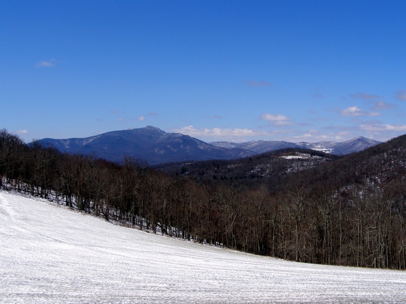
Cone Fire Tower
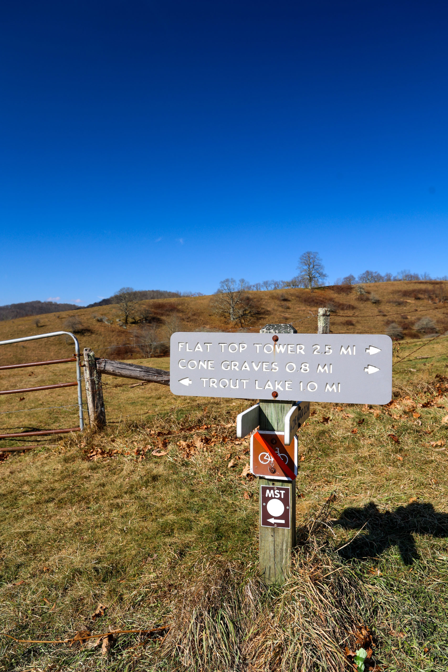
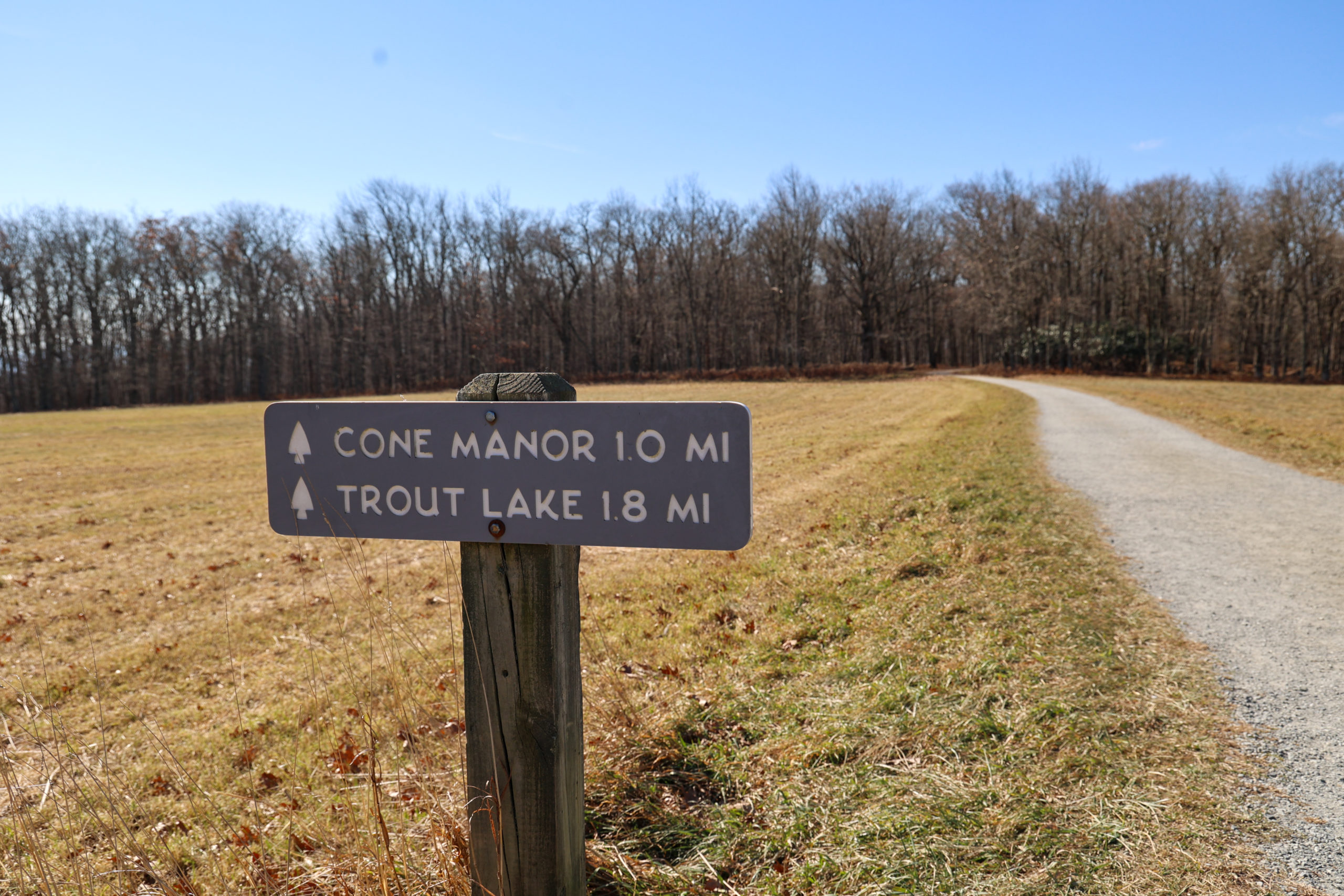
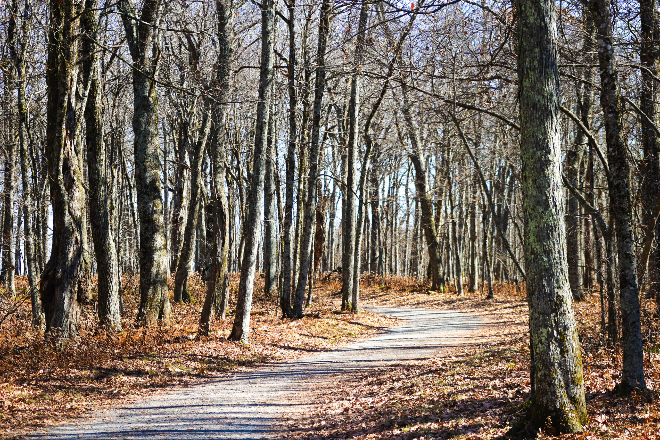
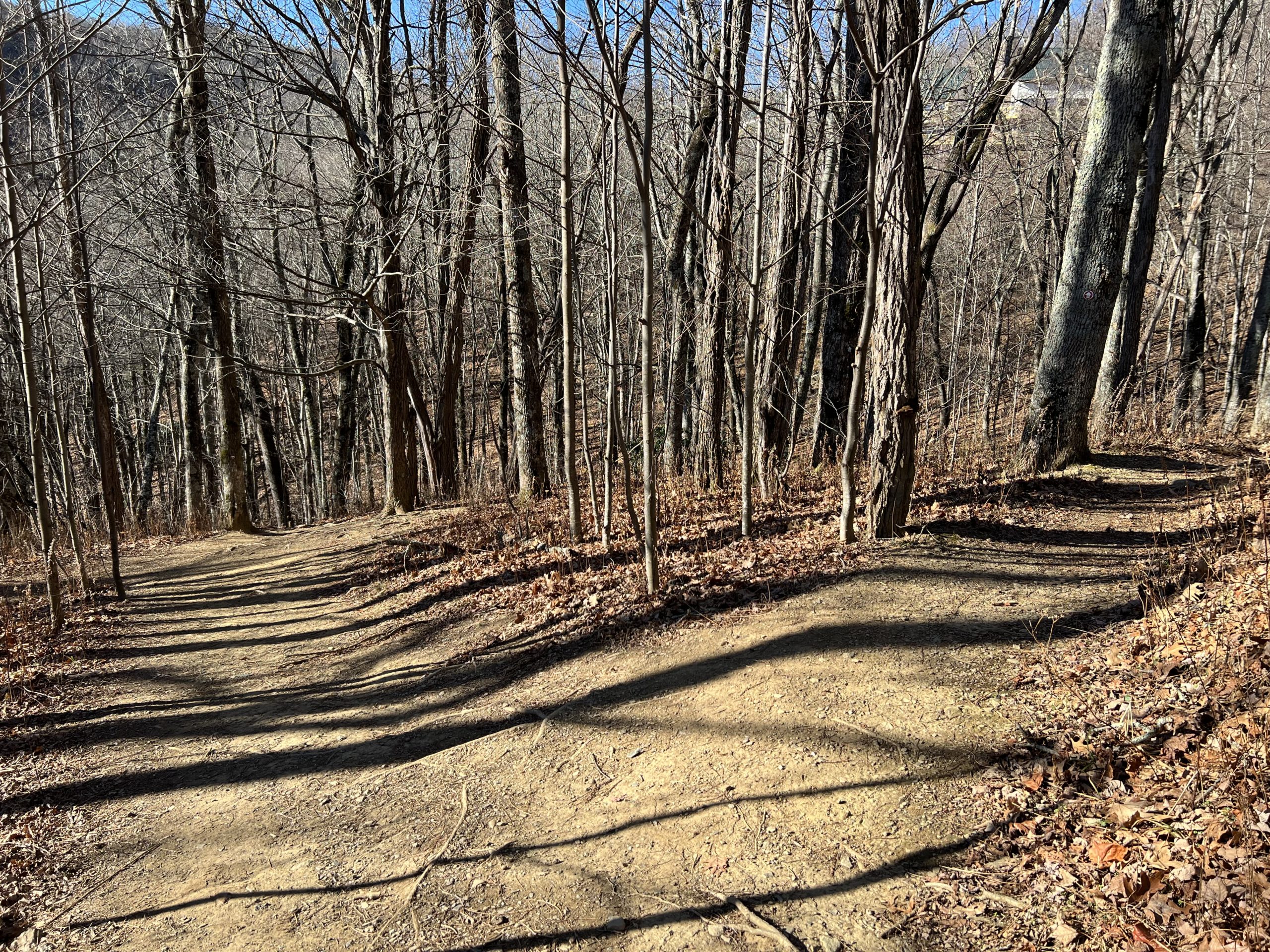
The Flat Top Tower Trail is a favorite for many who hike the trails at Moses Cone Memorial Park. This well-trafficked trail along the Blue Ridge Parkway offers visitors lots of scenic views packed into a 5.3 mile out-and-back hike to the top of Flat Top Mountain, the highest point in elevation at Moses Cone Memorial Park. This trail is part of the carriage trails, and offers hikers a wide and very well maintained path that is accommodating for even beginner level hikers.
Trail Length: 2.7 one way and 5.3 out and back
Difficulty: Moderate due to distance
Surface: gravel
Trail Use: hiking, jogging, horseback riding, leashed dogs ok
Blaze: no blaze, follow Flat Top Rd.
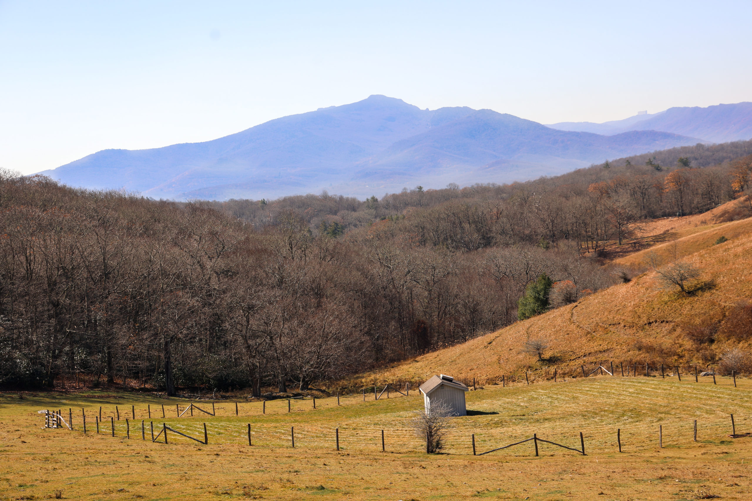
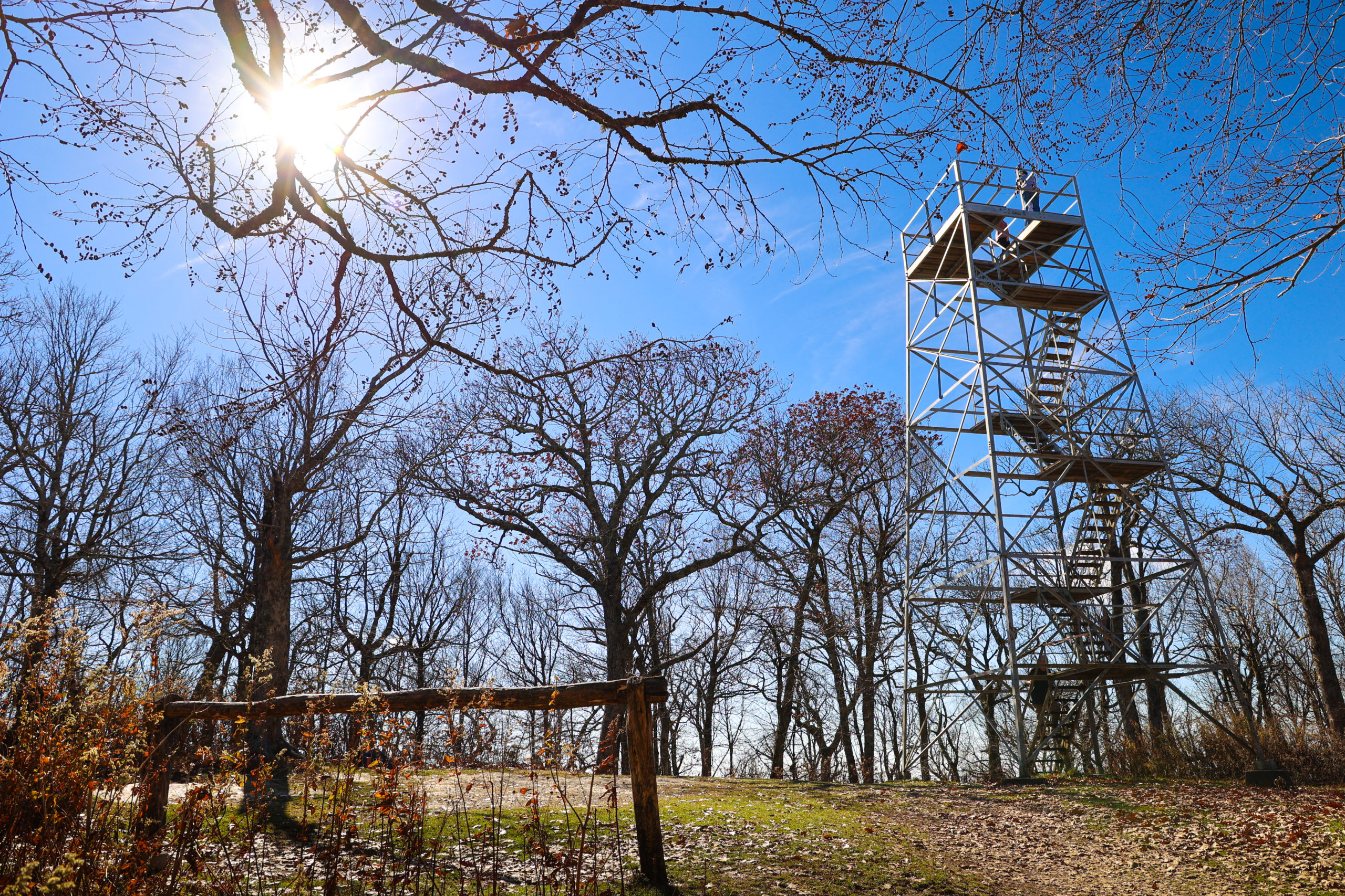
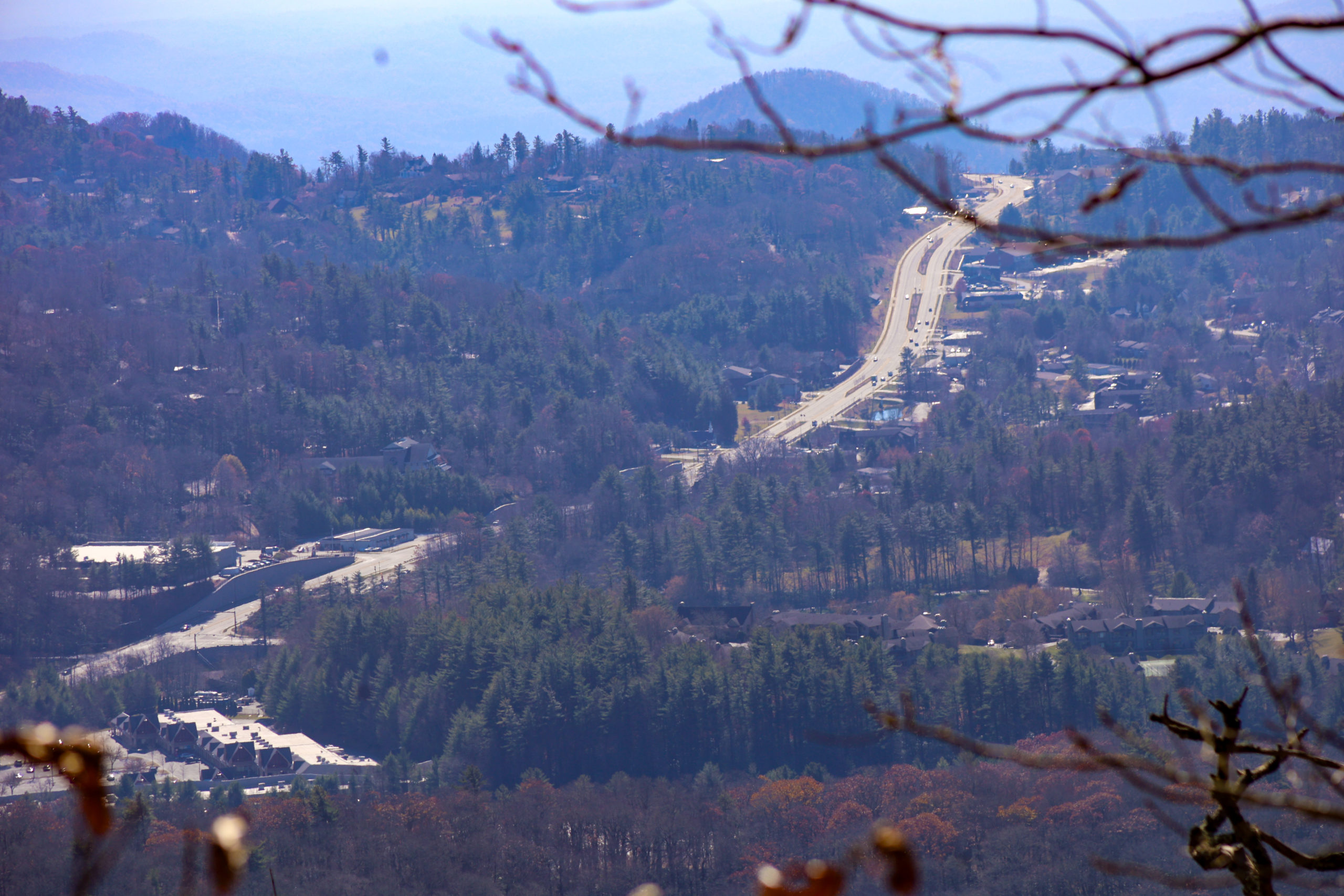
The first 1.5 miles of the trail will take you up through beautiful meadows, offering views of Grandfather Mountain as well as access to the Cone Cemetery. The remaining 1.2 miles up the path will take you through rhododendron lined forest as you climb upwards towards the Flat Top Tower. Along the way, you can enjoy several scenic views, such as at the 2 mile marker when you can look over an old stone wall lining the trail to see a birds-eye view of downtown Blowing Rock. Follow the path to the top of the mountain where you’ll be greeted with the sight of the Flat Top Tower.
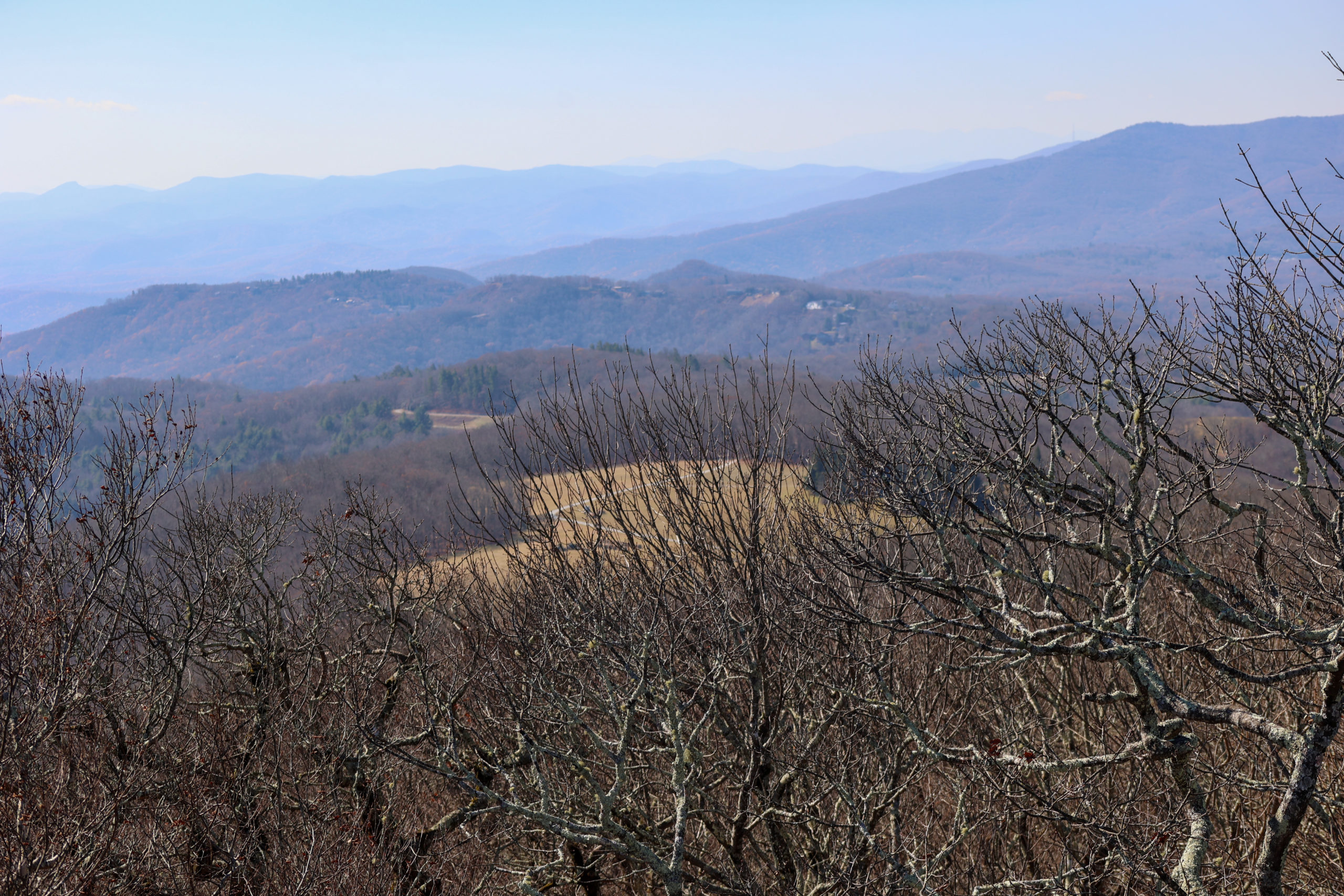
Open year round, the view from the top of the tower offers a 360 degree pan of the High Country, including Rich Mountain, Grandfather Mountain, Sugar Mountain, and Hanging Rock.
Hang out and enjoy the views before taking the trek back down the mountain back to the Flat Top Parking Area.
Getting There:
Take US 221 towards Linville for one mile. Turn right onto the Blue Ridge Parkway service road and then right onto the Blue Ridge Parkway. Go 0.6 miles and the Cone Manor House will be on the left. Please park at Flat Top Manor then embark on this hike.
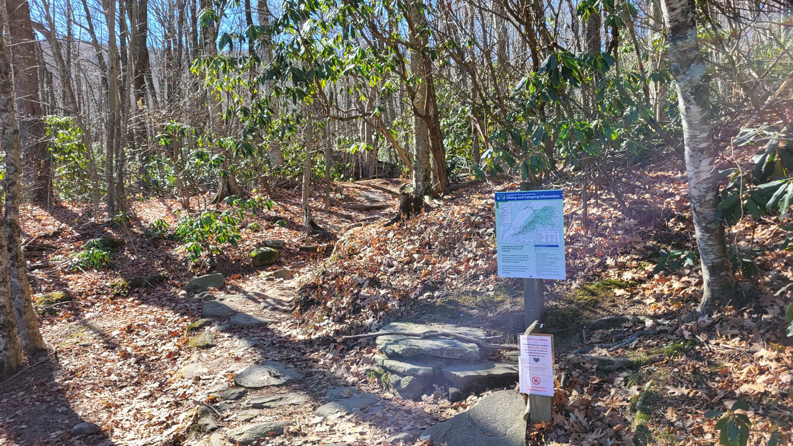
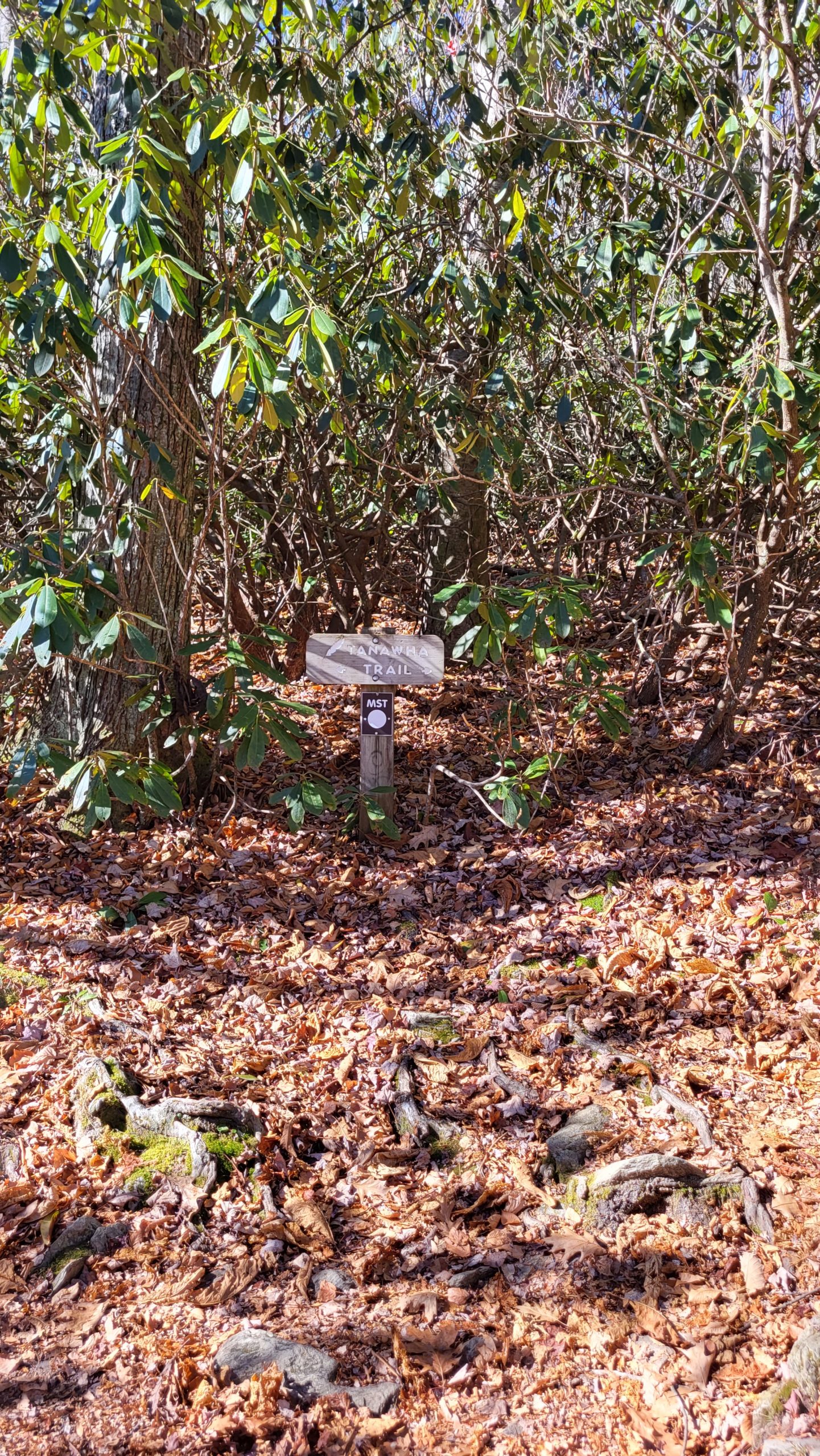
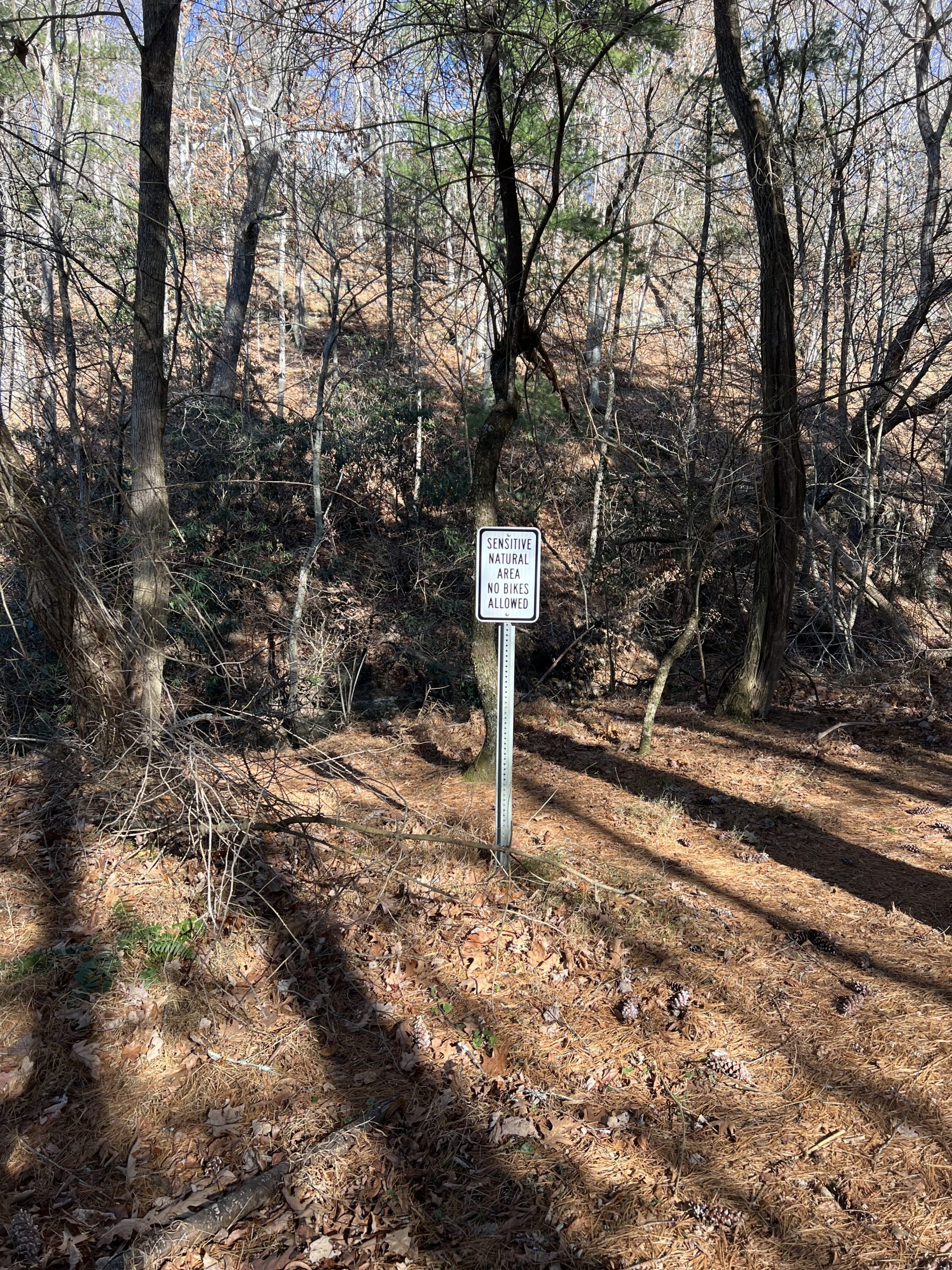
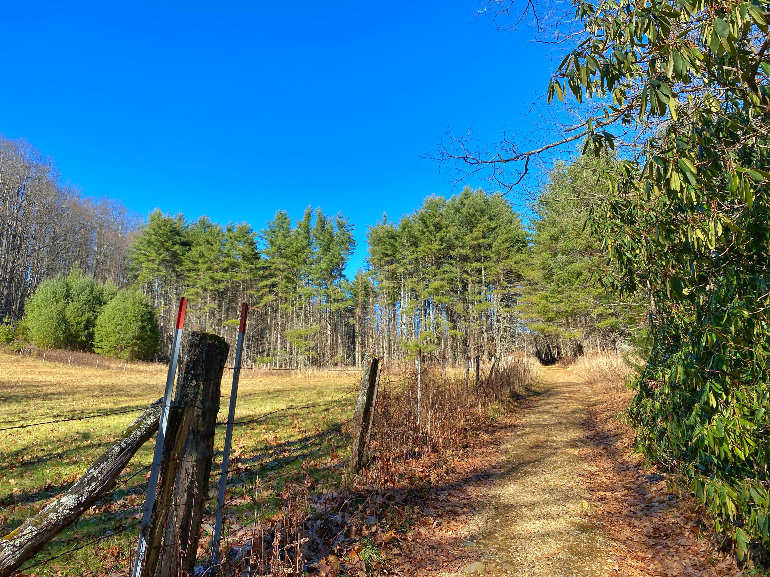
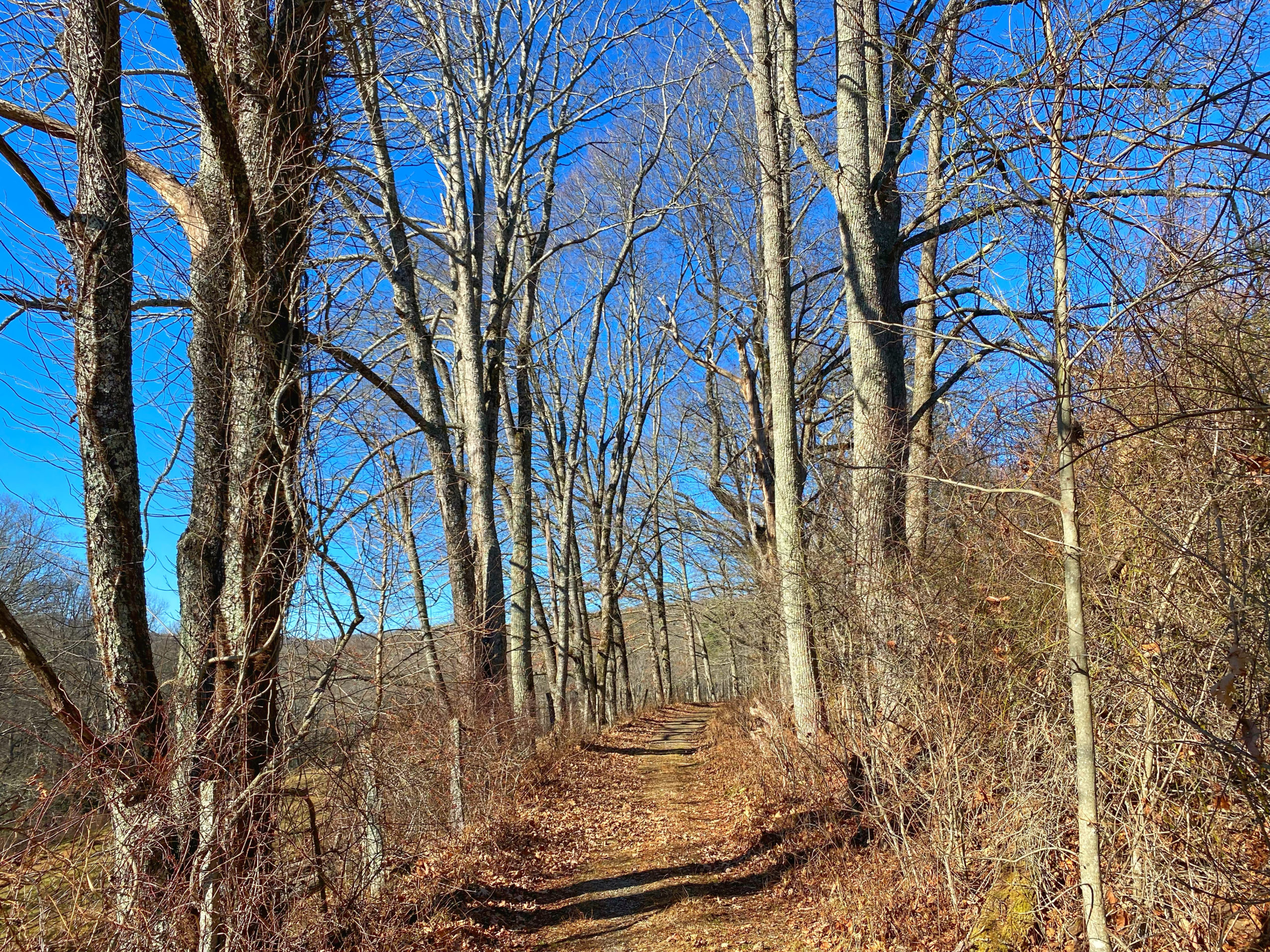
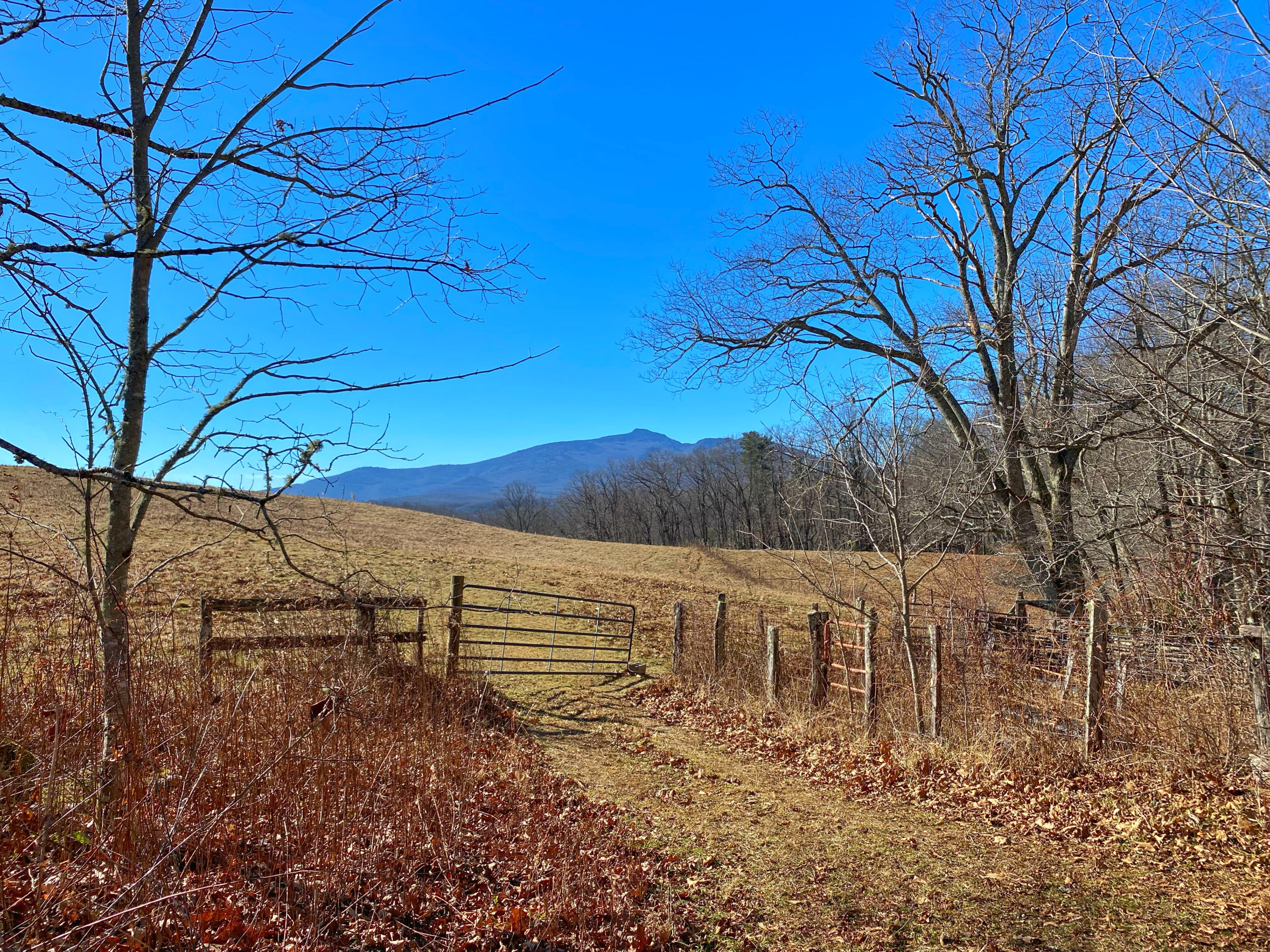
Tanawha Trail: Boone Fork to Holloway
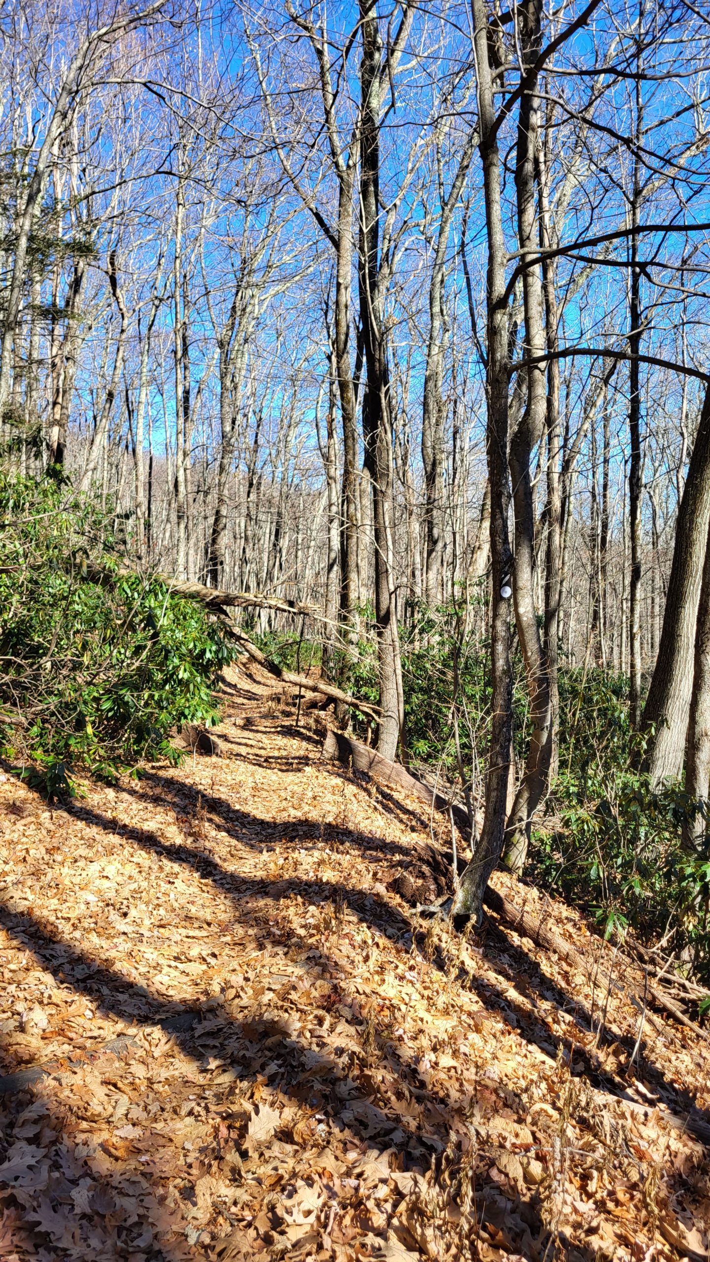
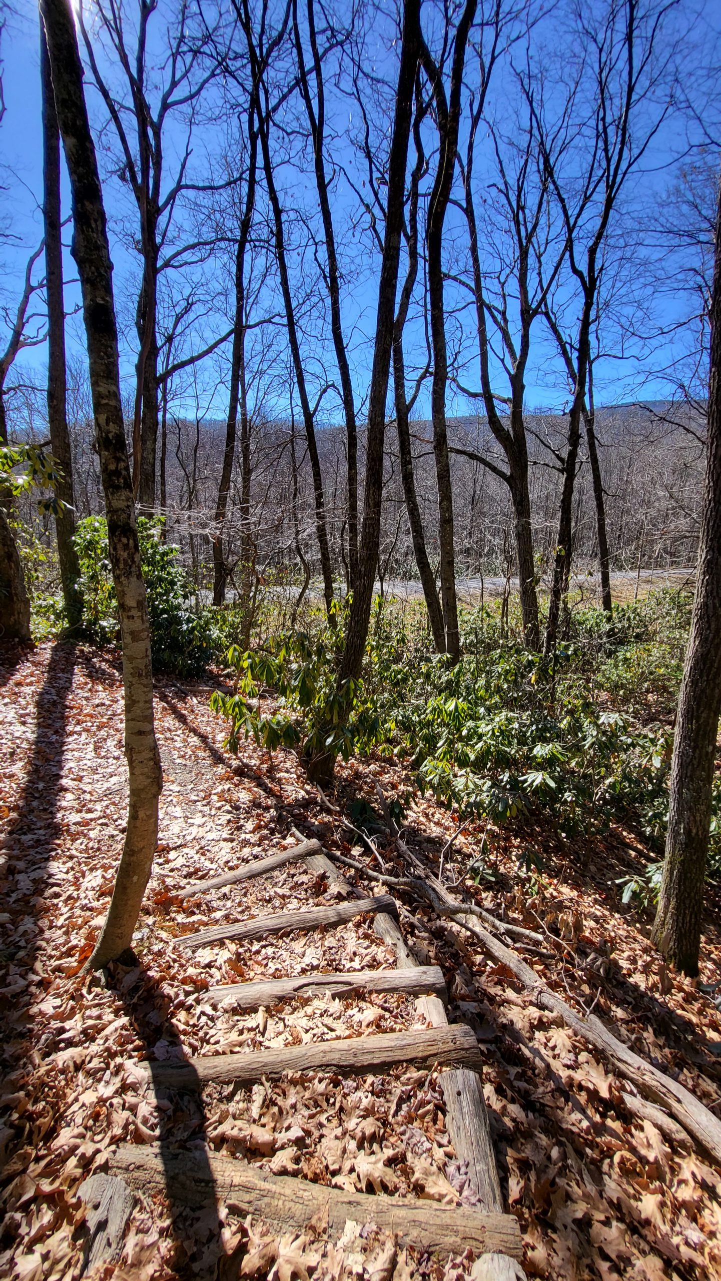
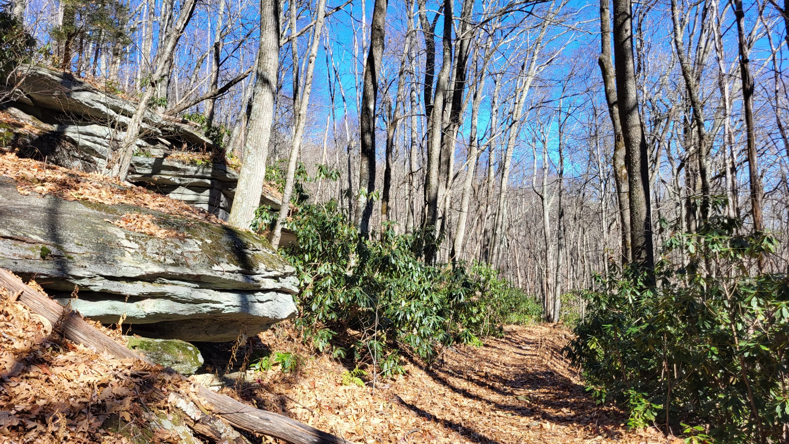
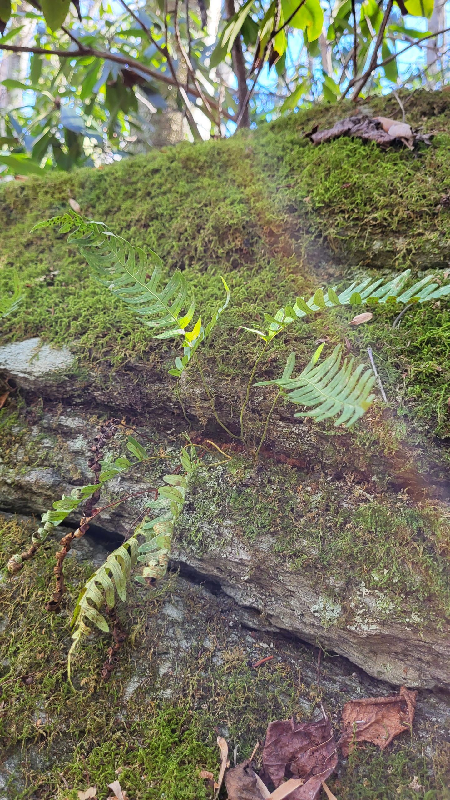
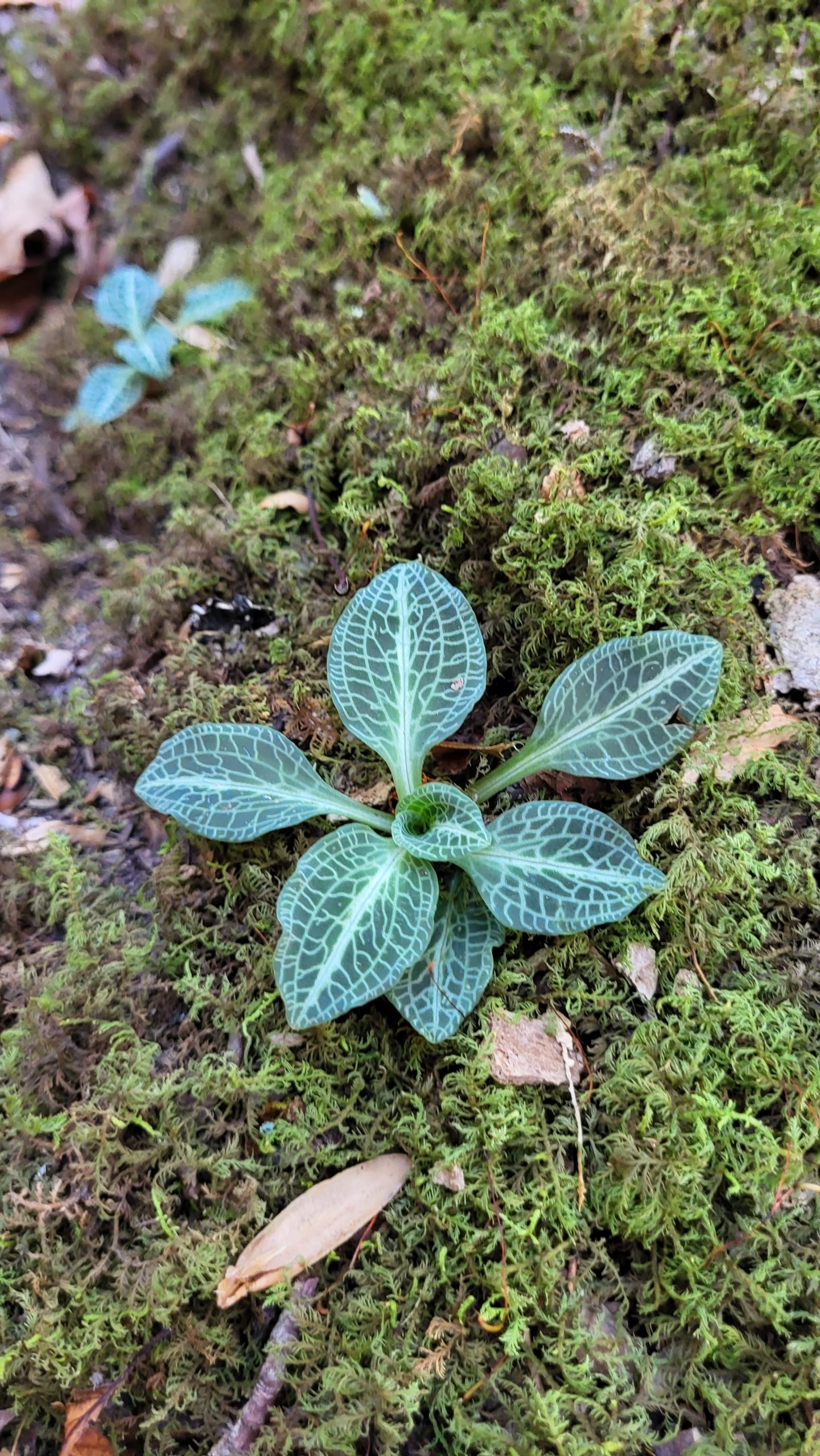
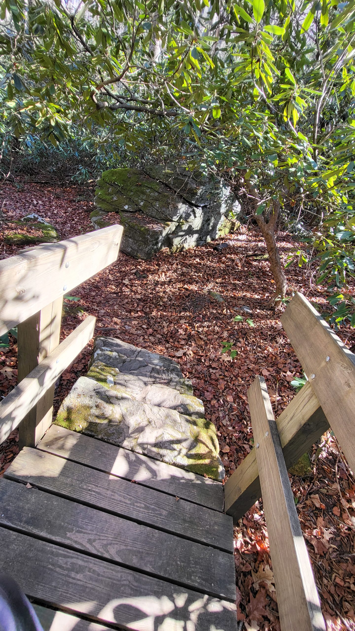
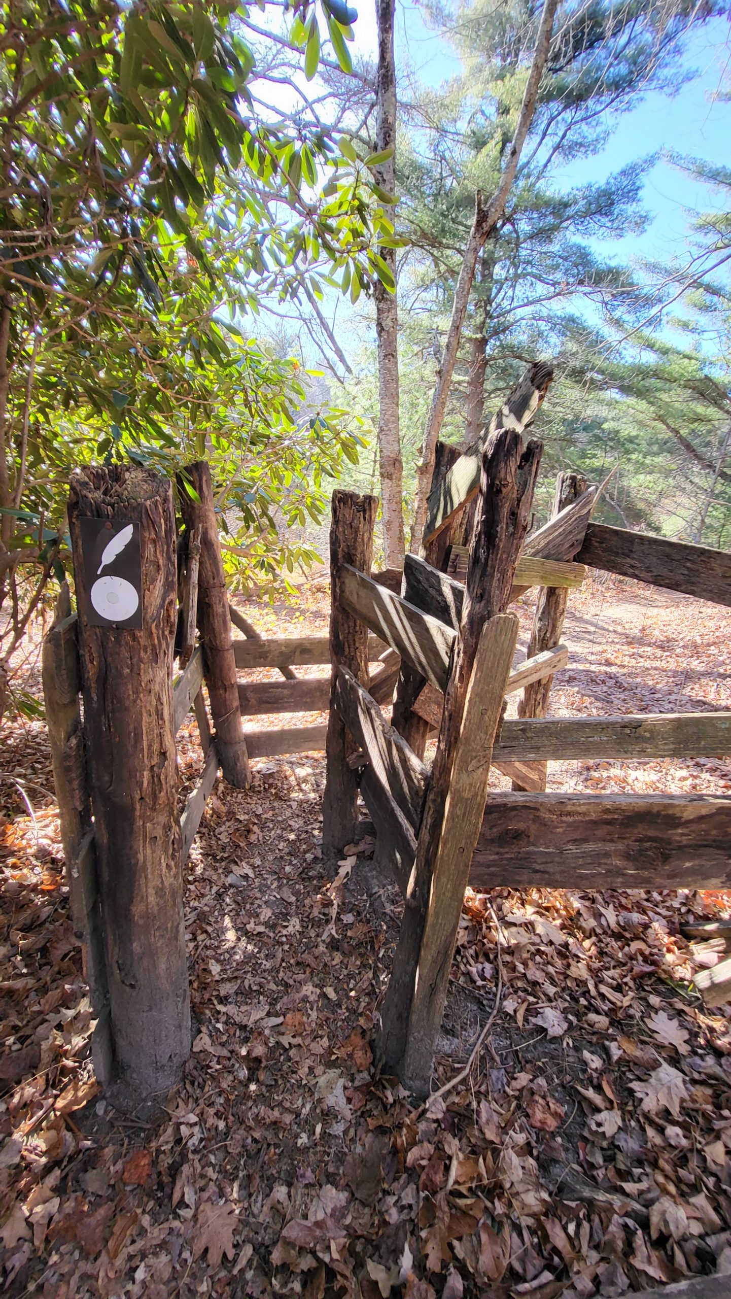
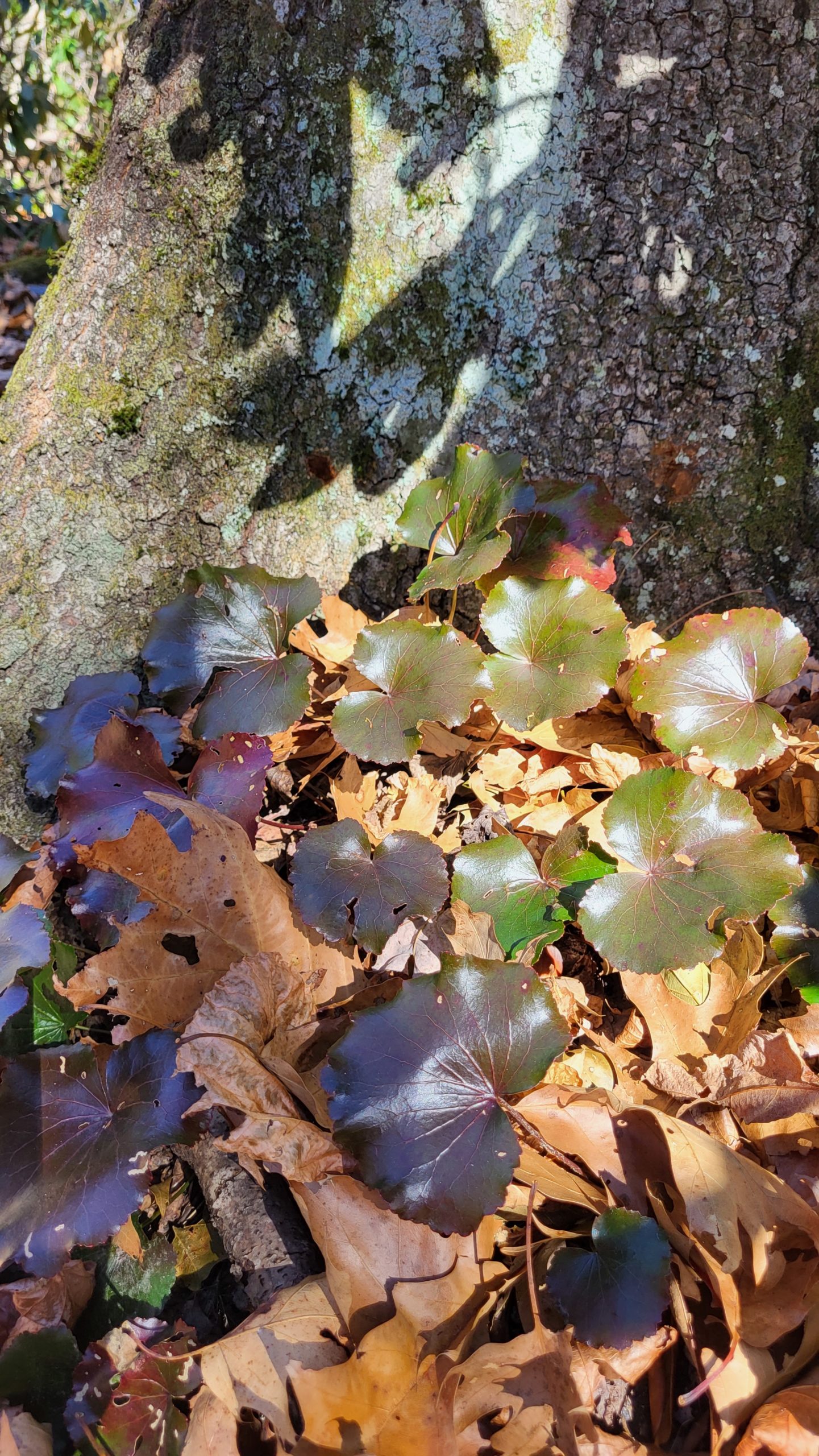
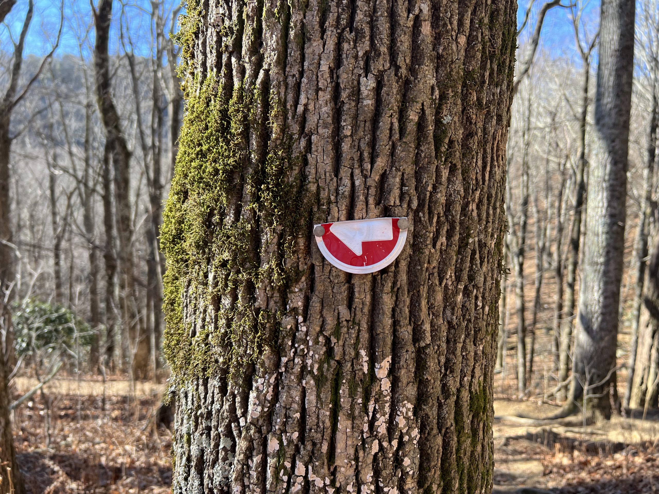
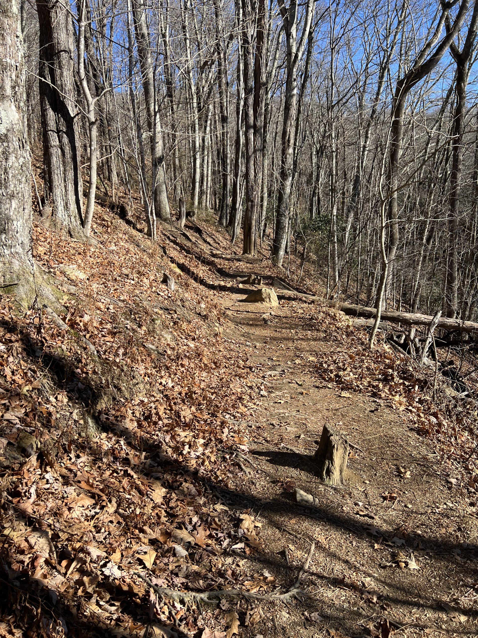
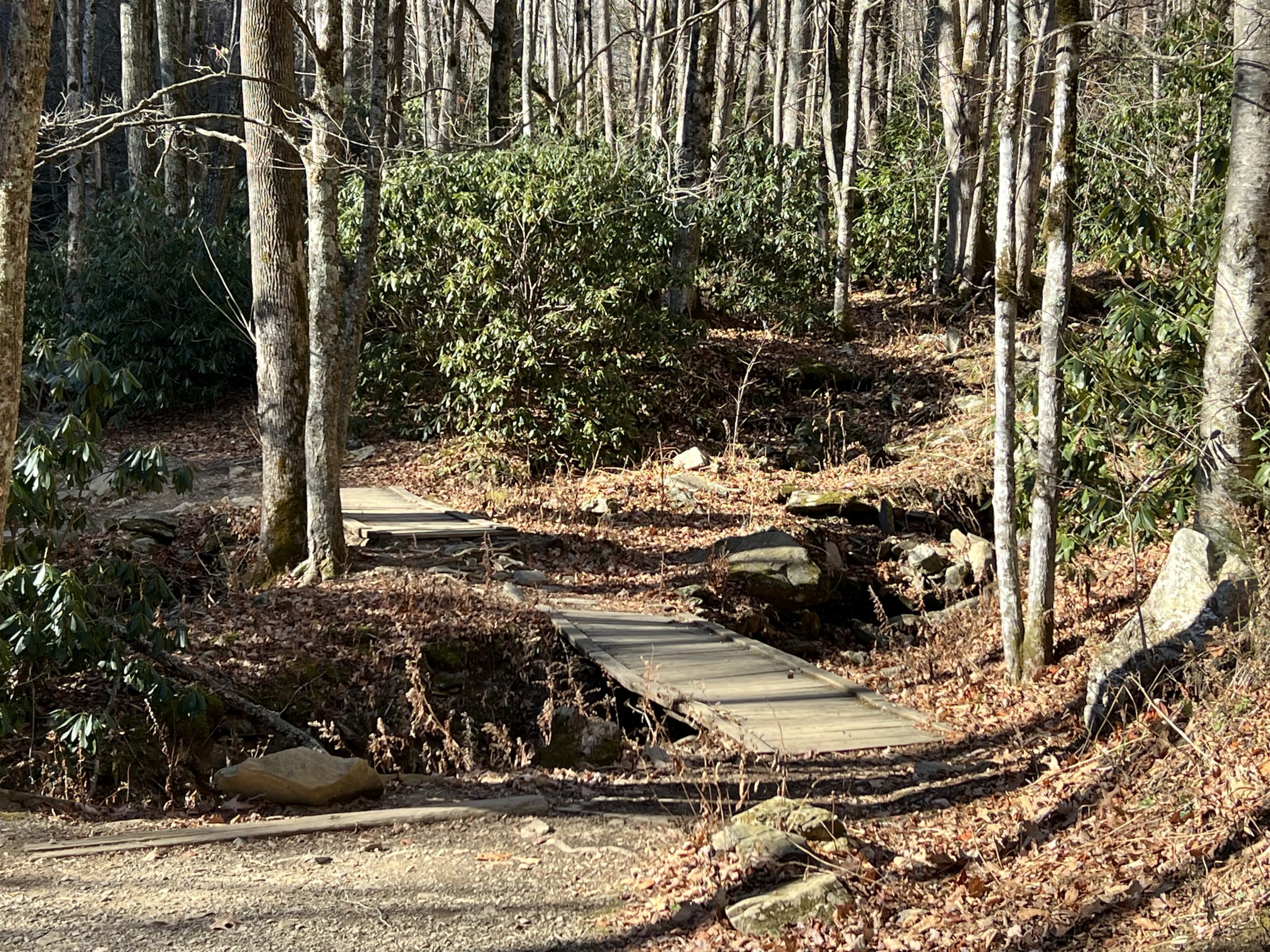
This portion of the Tanawha Trail is a refreshing and fairly gentle walk through the woods. It journeys through rhododendron and hardwood forests, scented pine groves, and open meadows. Expect some pretty footbridges followed by a couple of tight squeezes through cattle stiles. There aren’t many wide mountain views but the trail is plenty scenic on its own. Even in late fall, the Appalachian mountains are verdant and full of life. Keep an eye out for interesting plants and listen for our resident over-winter birds. Thick layers of fallen leaves add a fantastic sound to your journey as well! However, those same leaves can make trails harder to see. Mind your footing in case of uneven surfaces underneath and keep an eye out for blazes to confirm the trail.
Trail Length: 3.8 miles
Difficulty: easy to moderate
Surface: dirt, narrow track
Trail Use: Hiking, leashed dogs ok
Blaze: white feather
From Boone Fork Parking Area take the short connector trail to access Tanawha Trail, then turn right at the fork. The first mile or so travels easily through a forest largely dominated by oak trees. The trail travels closely to the Parkway motor road for a while; we could see it clearly through leafless trees. After about 1.5 miles, the path intersects with the trail to the Cold Prong parking area on the Blue Ridge Parkway. Follow the signs and stay left to continue to Holloway Mountain Road. The trail continues over a few creek crossings before arriving at a stile, a narrow arrangement of fencing that prevents cattle from passing through. Walk through the narrow zig-zag or climb over. This section of the trail passes through meadows and smaller wooded areas. A little over 3 miles in, the trail offers views of Grandfather Mountain in a meadow that’s excellent for taking a picnic, especially at the top of the hill where a collection of boulders sits under some trees. From there, it’s a short downhill trek to the parking area on Holloway Mountain Road.
Getting There:
Boone Fork Parking Area is located at milepost 299.9 on the Blue Ridge Parkway, about 6 miles south of Blowing Rock.
If taking two vehicles for a one-way hike, park one at the Holloway Mountain Road parking area. From the Blue Ridge Parkway, take the Holloway Mountain exit then turn right to follow Holloway Mountain Road for about 1 mile; parking area will be on the left. Note that this section of Holloway Mountain Road is gravel. (Alternate trail access in case of inclement weather closure of Blue Ridge Parkway: From Main Street in Blowing Rock, head down Hwy 221 for 6.3 miles, turn right on Holloway Mountain Road and travel for 2 miles. Holloway Mountain Road is paved up to the intersection with the Blue Ridge Parkway.)
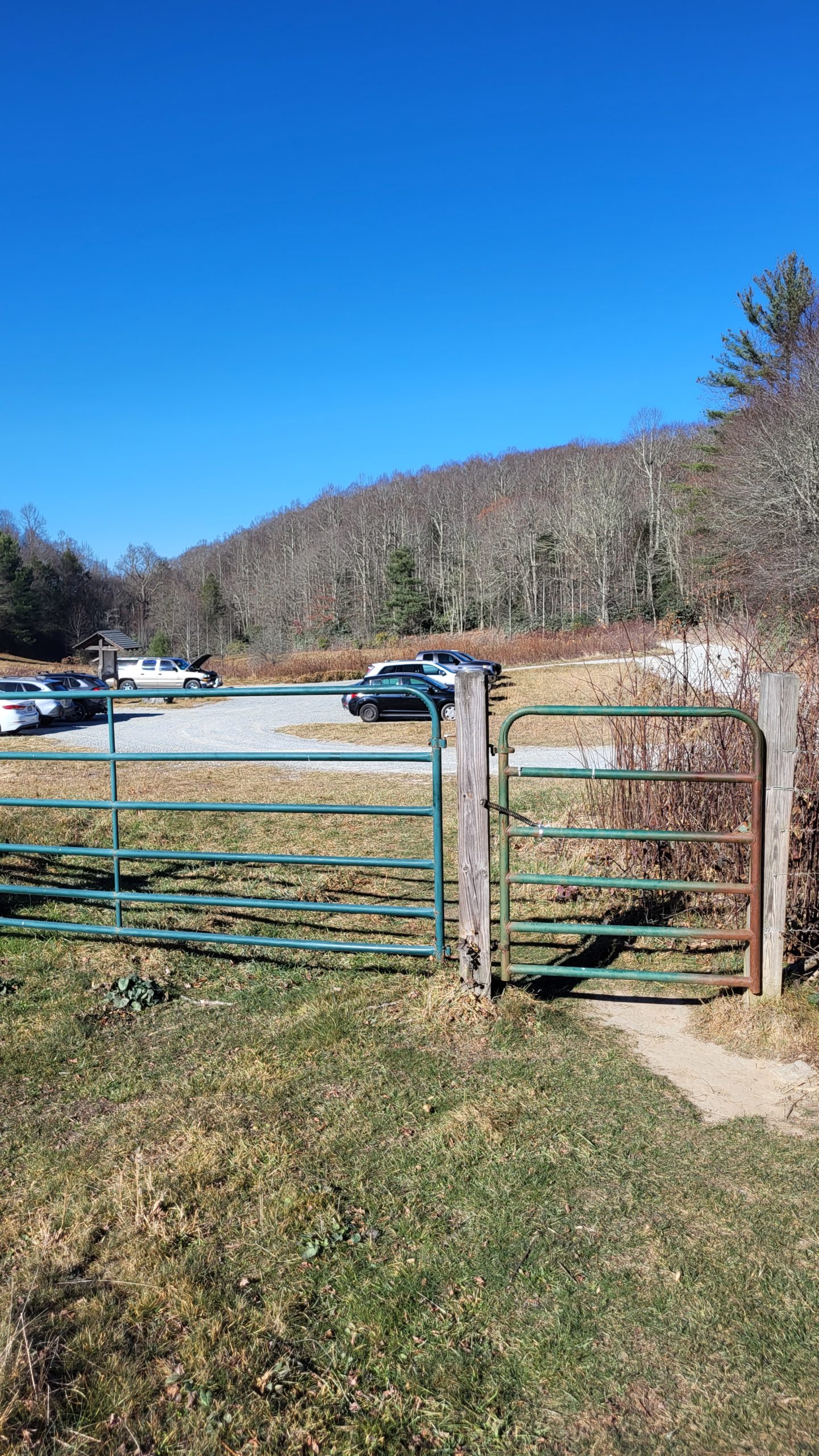
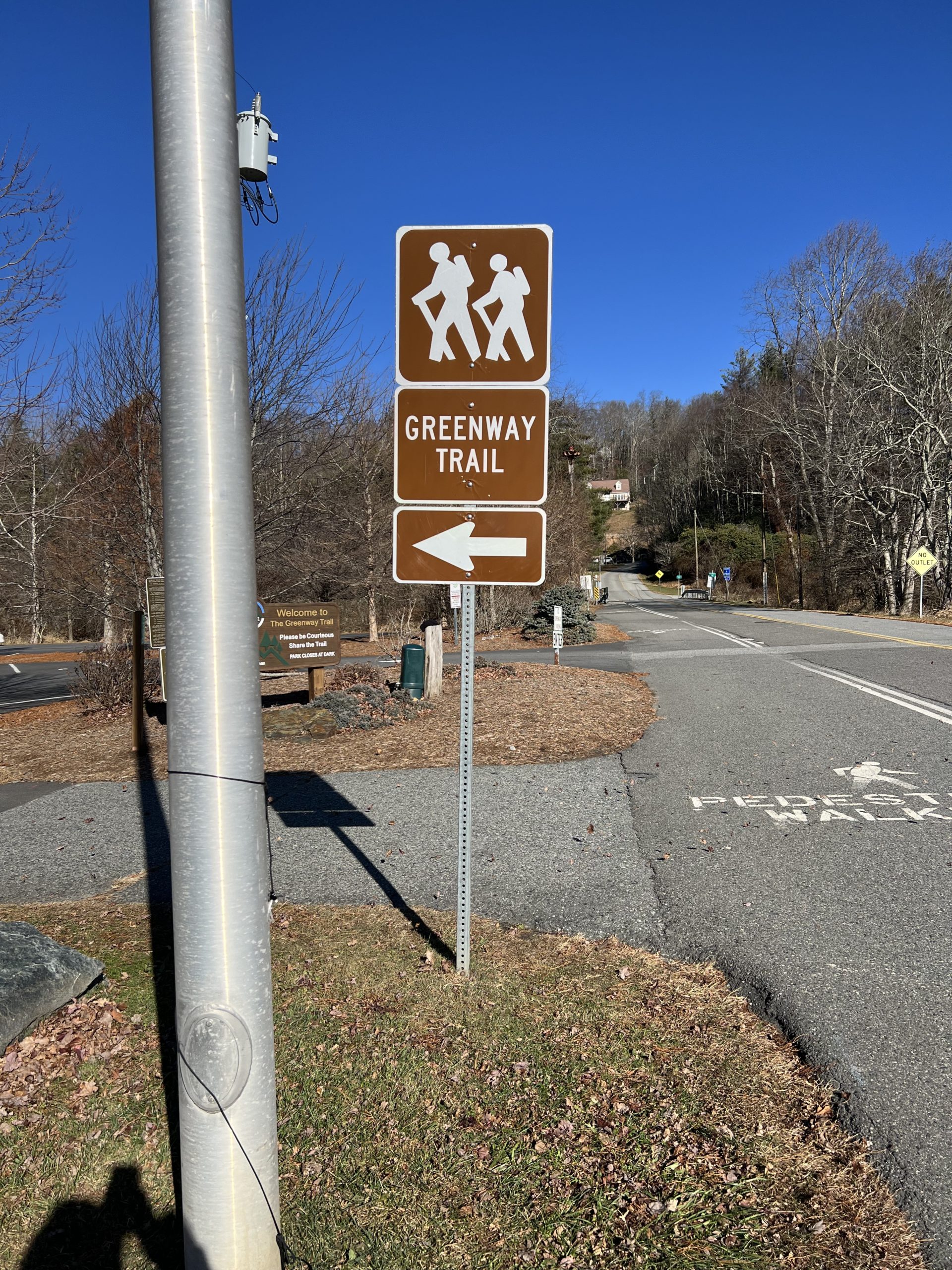
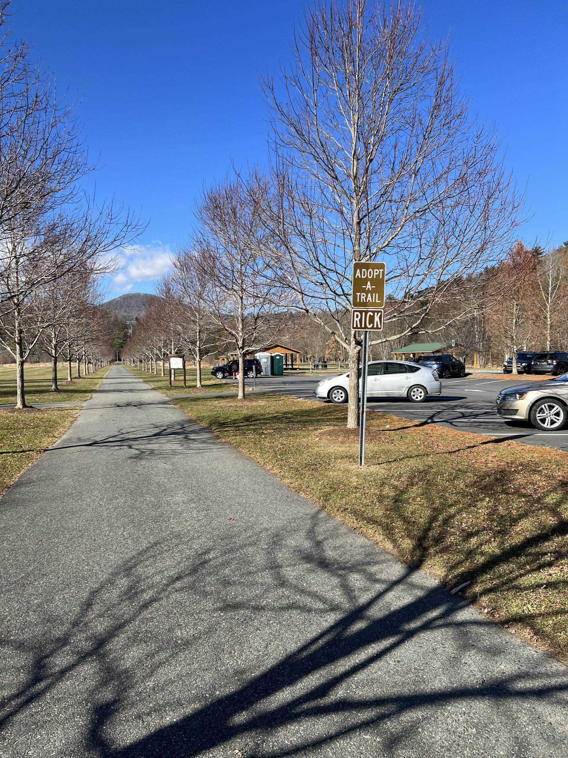
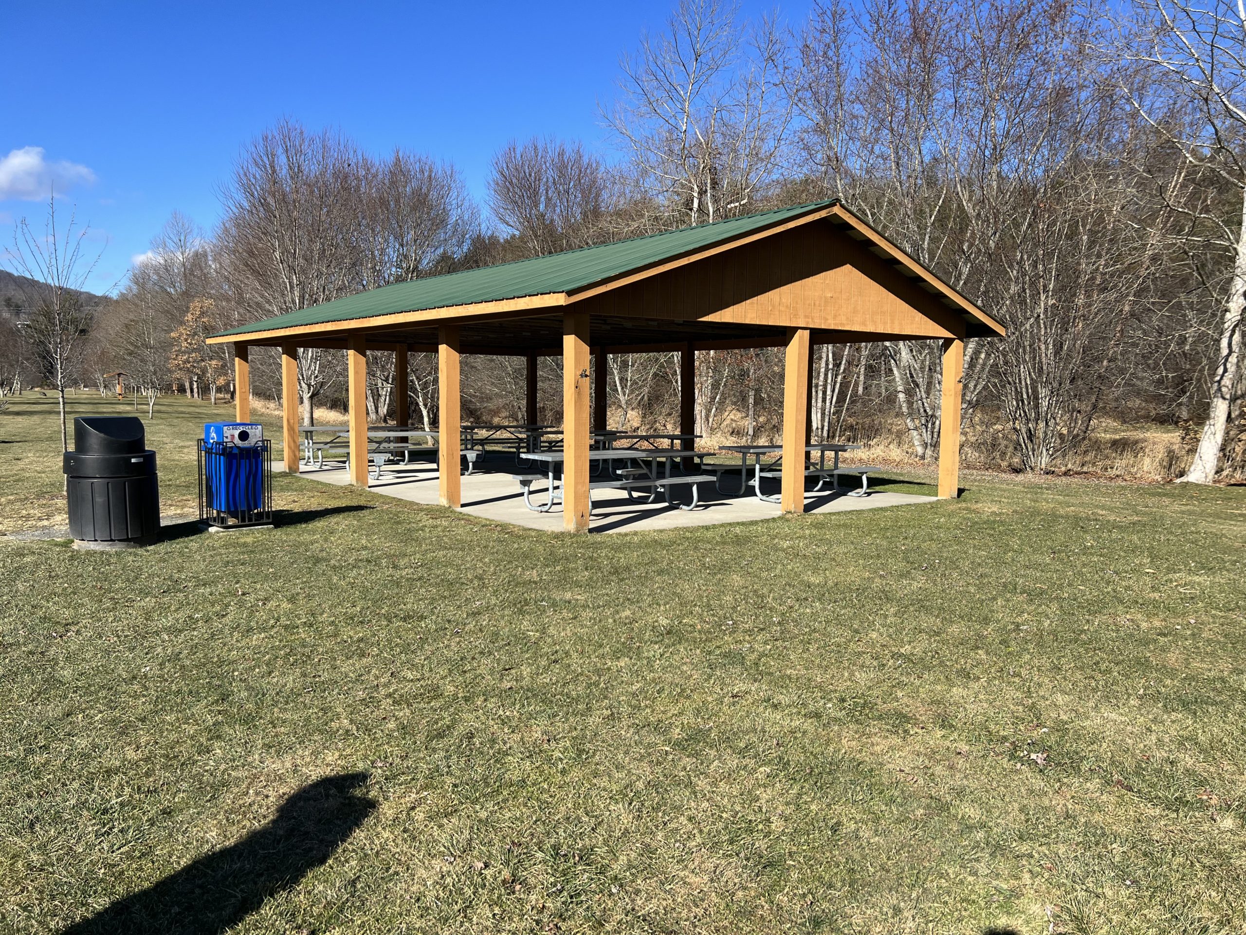
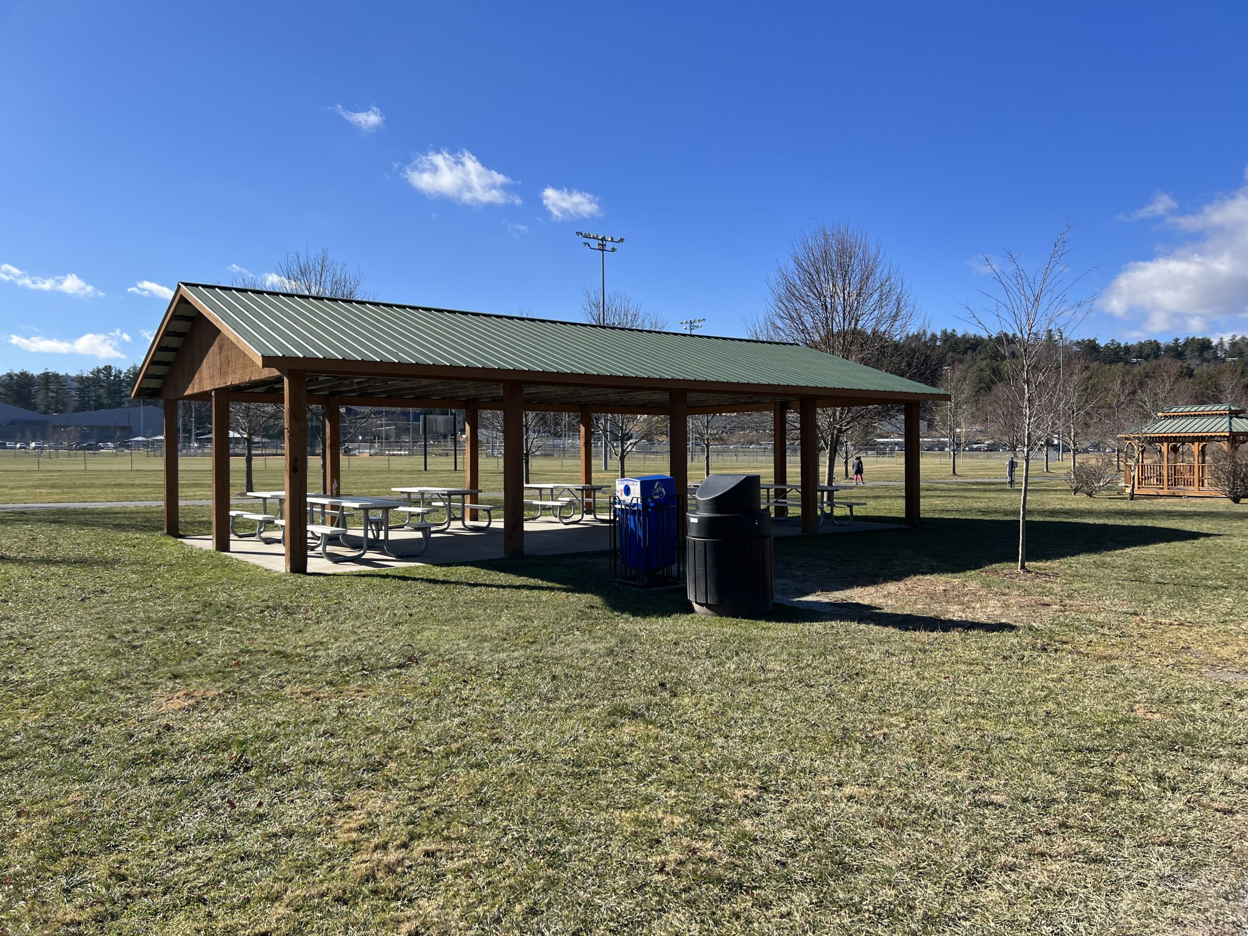
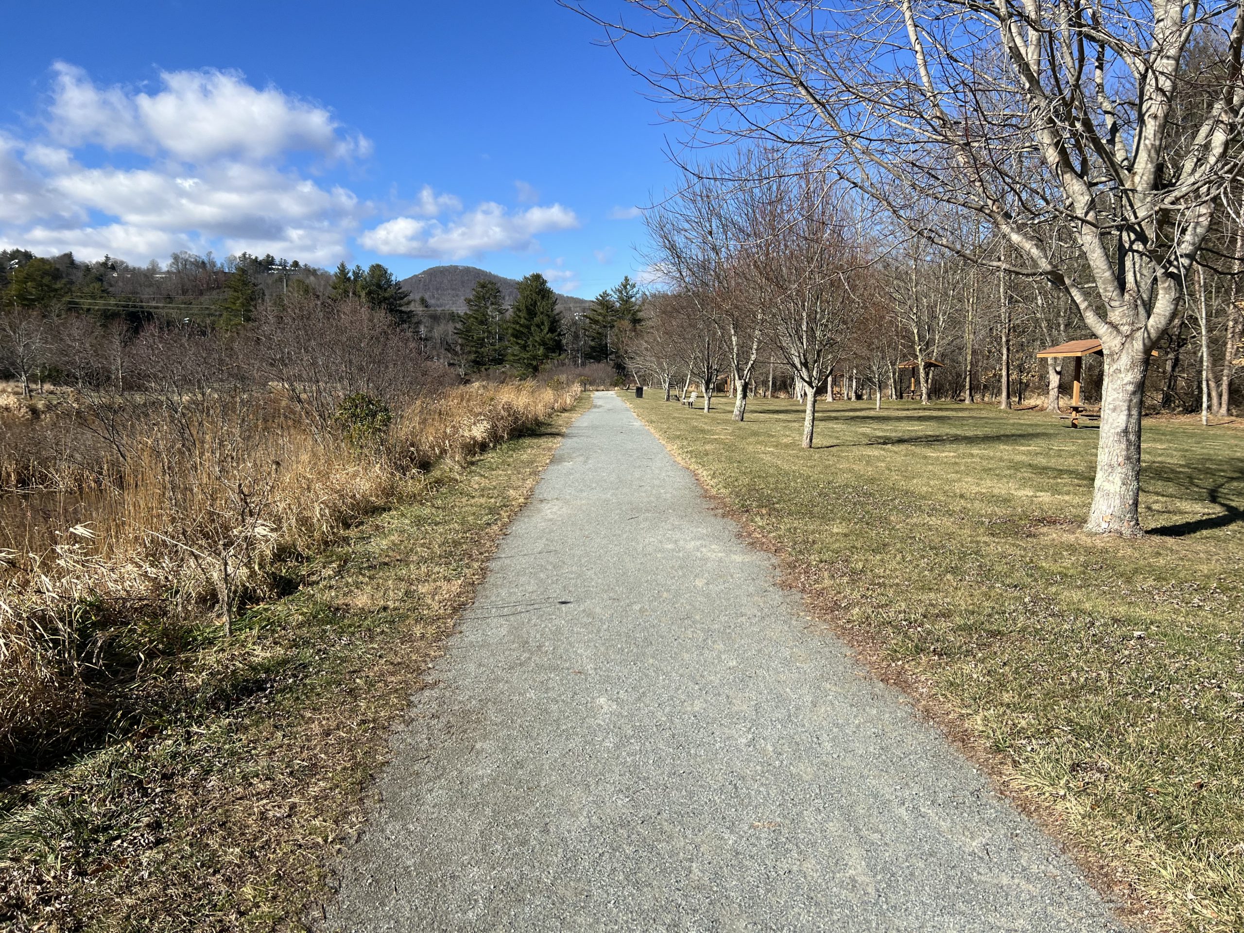
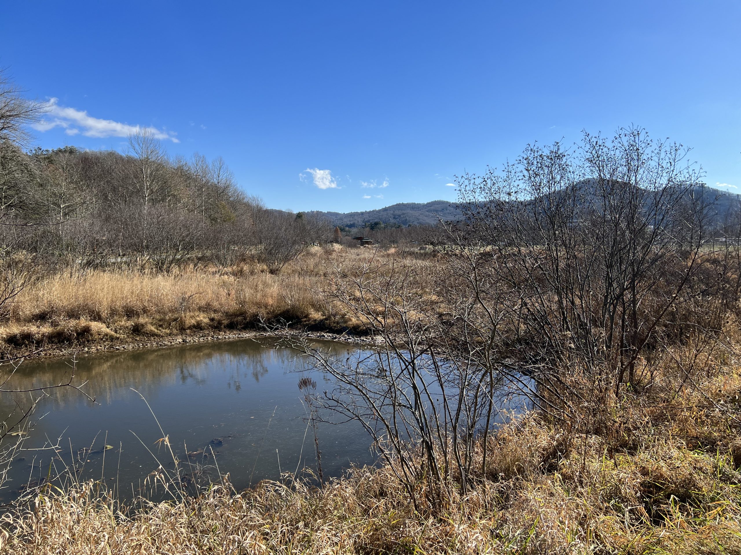
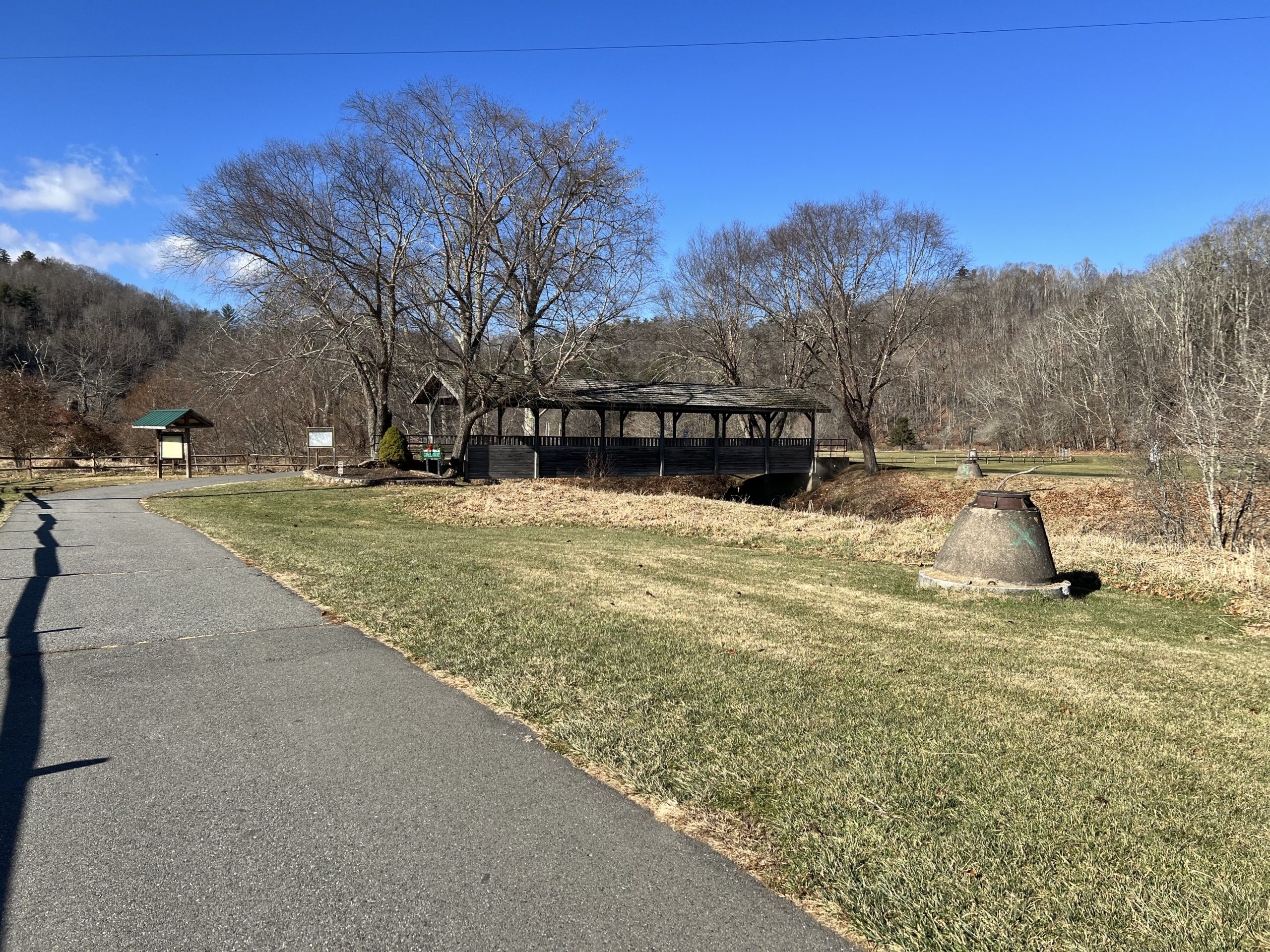
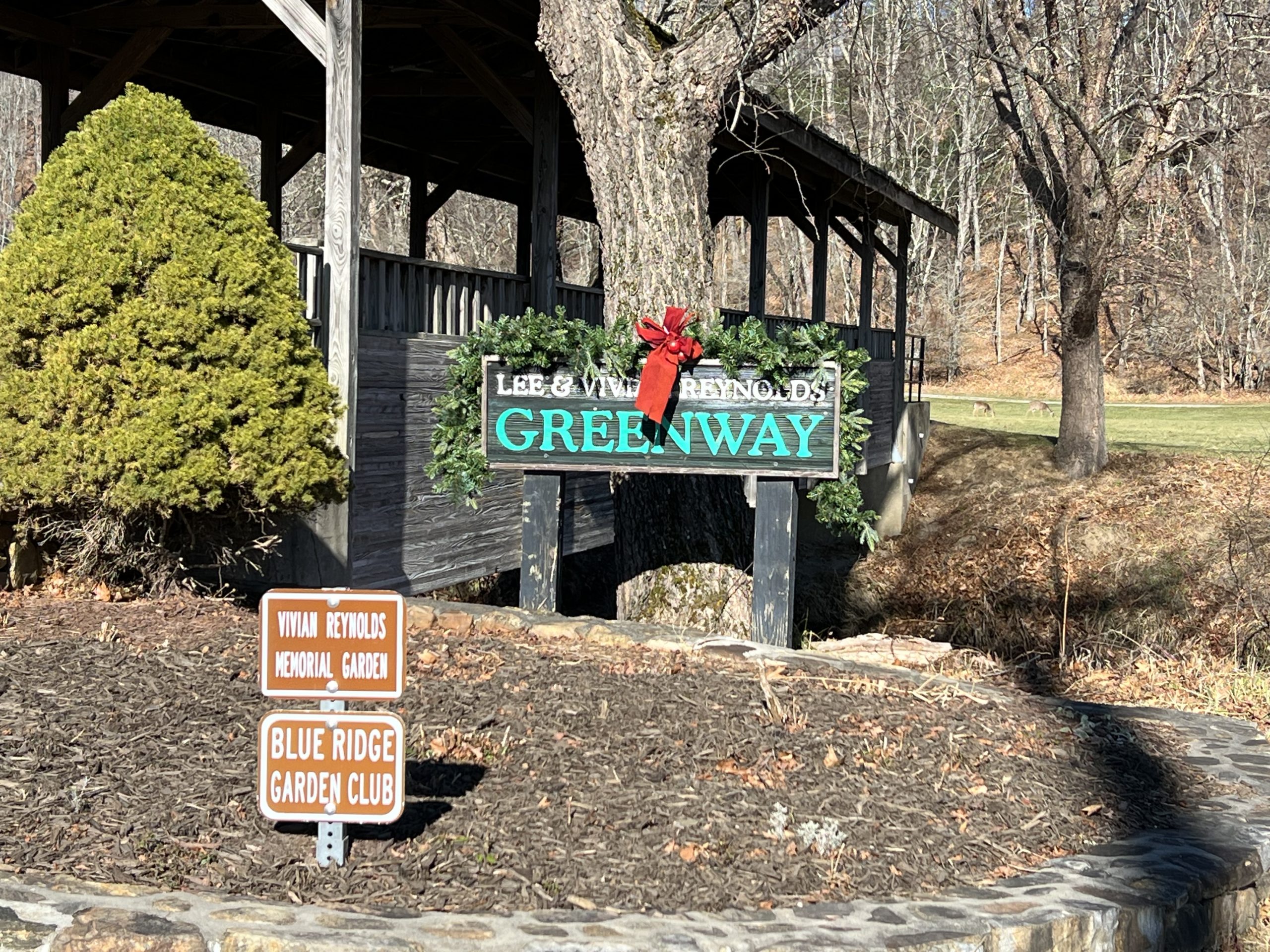
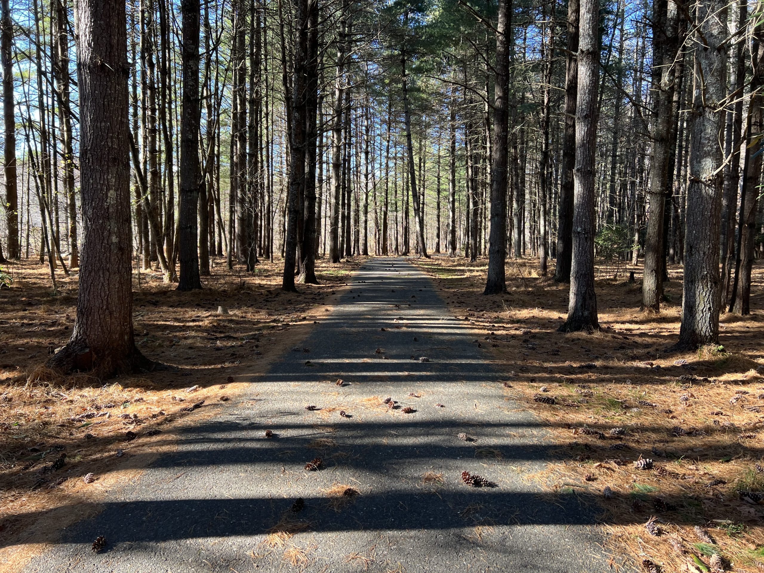
Boone Greenway
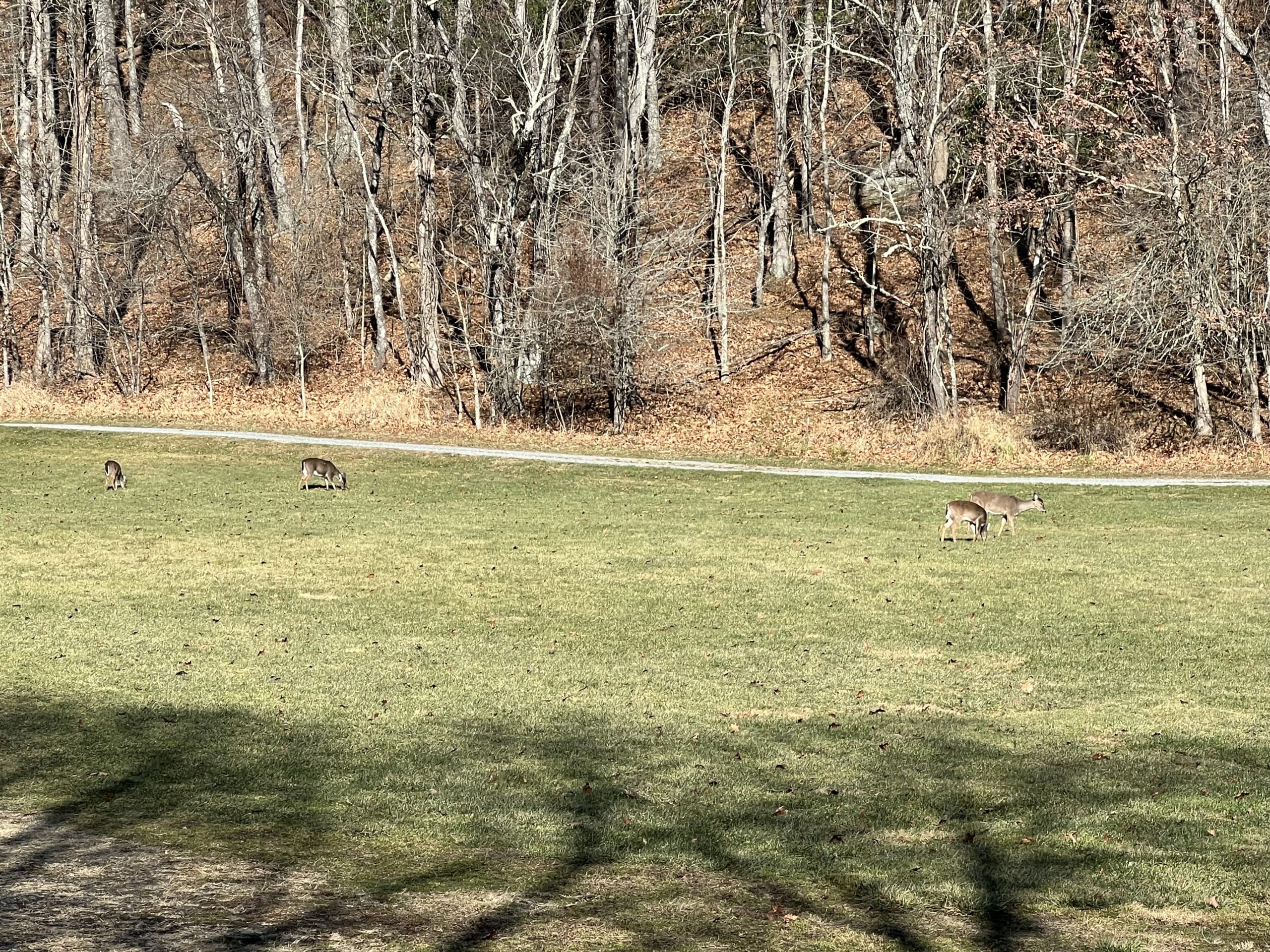
Boone Greenway is a paved, accessible trail located all around Boone, NC. For our hike, we parked behind the Watauga Rec Center, and started out from there. It’s important to note that the trail is accessible but this area does not have accessible bathrooms, only portable toilets.
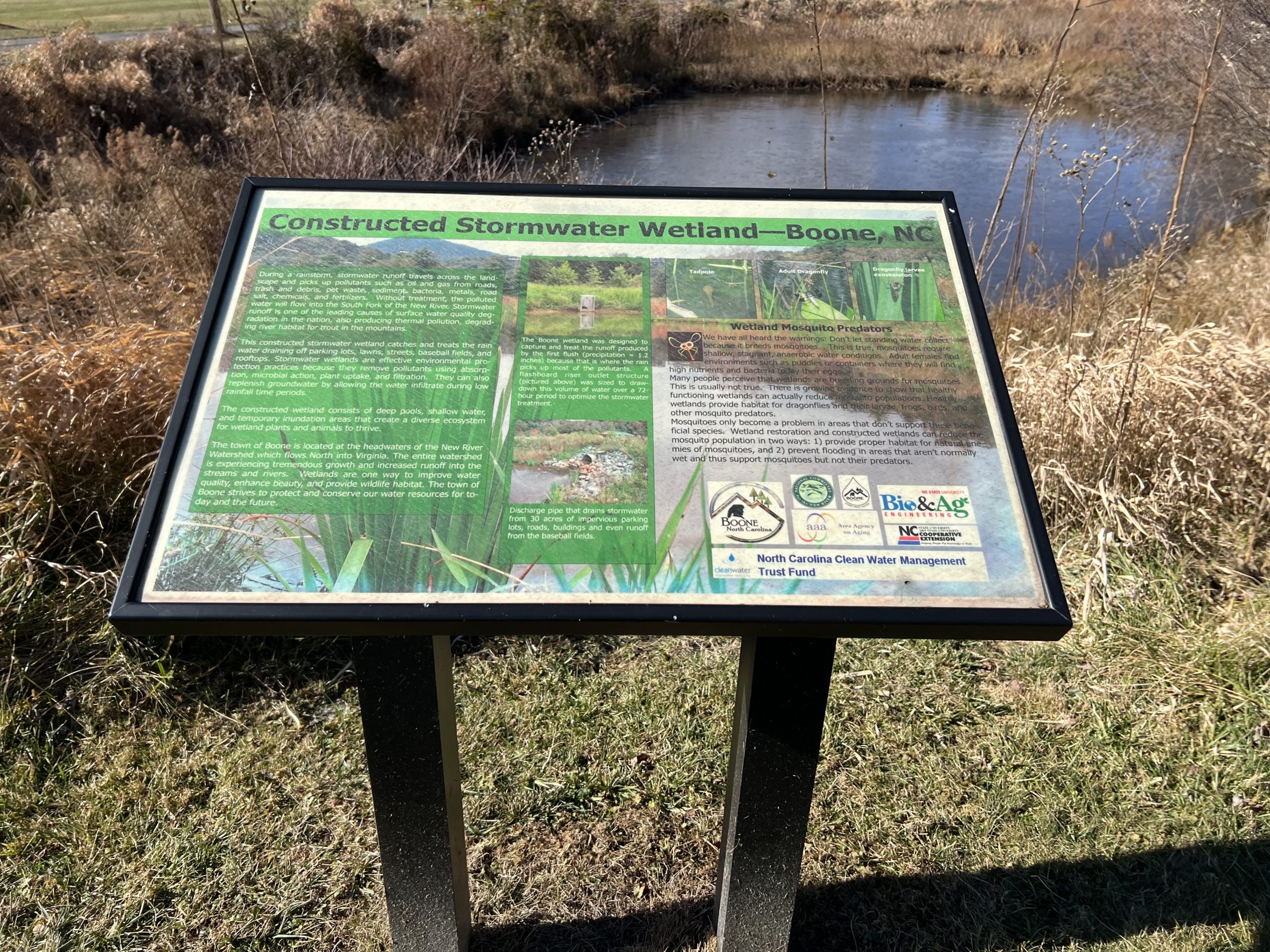
The area boasts wetlands that are protected, and there is information posted around to learn about them. The trail is flat so it is easy for walking, riding bikes, and wheelchairs. It was a very cold and windy day, but once we turned back behind the mountain there was very little wind to speak of as it broke it up.
Trail Length: 1.5 mile loop
Difficulty: easy
Surface: Paved with gravel sections that branch off of main portion.
Trail Use: Walking, Jogging, Biking, Leashed Dogs OK
Blaze: N/A
This area has offshoots of the trail that are gravel, and Kennedy Trail is close and can be accessed from this portion. You take the trail straight from the parking area and come to a covered bridge. Once you pass the bridge, there is a loop that encircles a field. It is easy to just take a leisurely loop and go back to the parking area. There are also areas where the trail offshoots so you can make it into a longer hike and more of an adventure.
Getting There:
From Blowing Rock, take HWY 321 into Boone and turn right on Deerfield Rd. Travel about 0.5 miles then turn left onto State Farm Rd. Turn right onto MLK Jr. St. and drive past the Watauga Recreation Center. The Boone Greenway will be on the left. Turn into the parking area to access the trailhead.
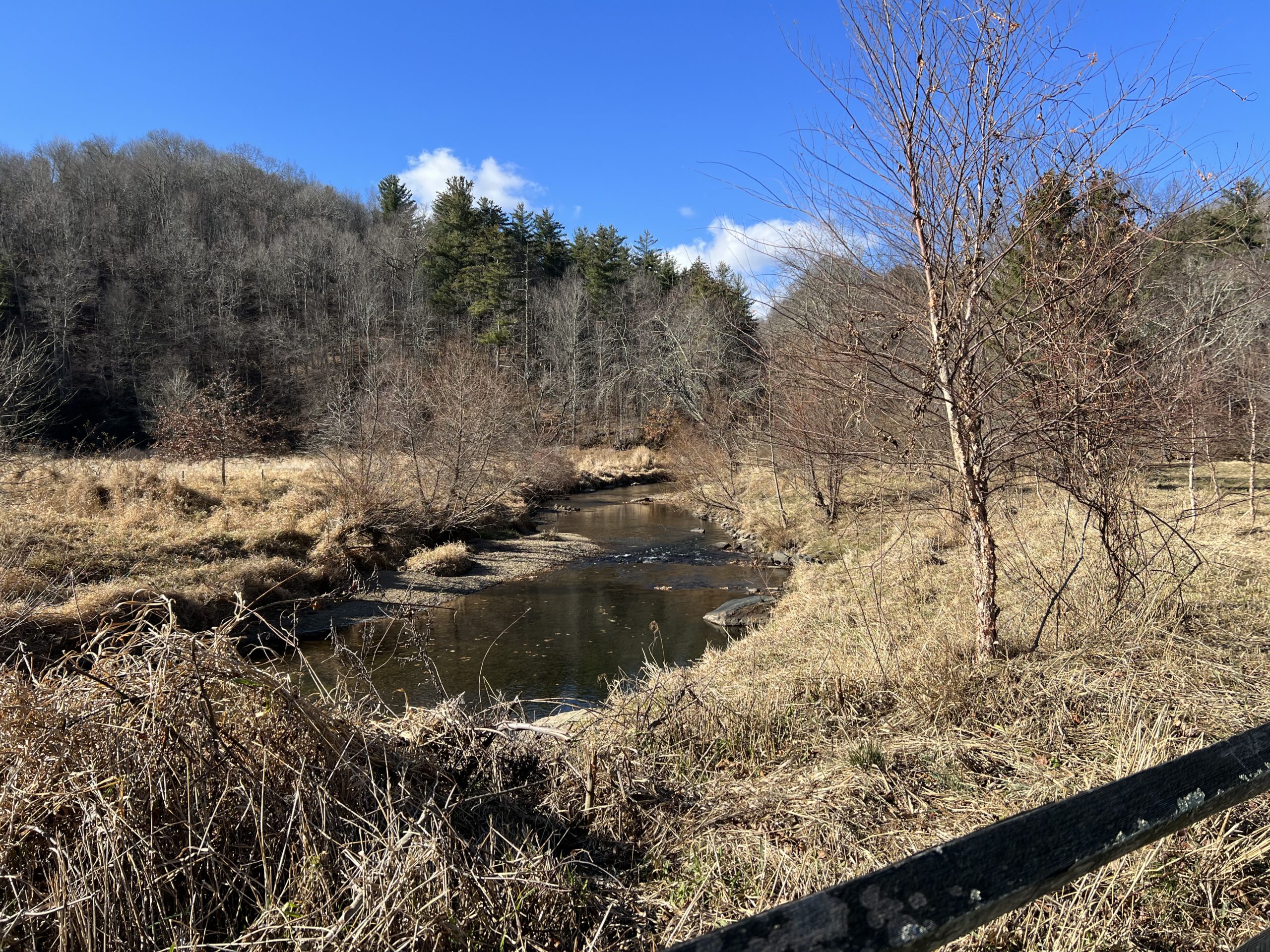
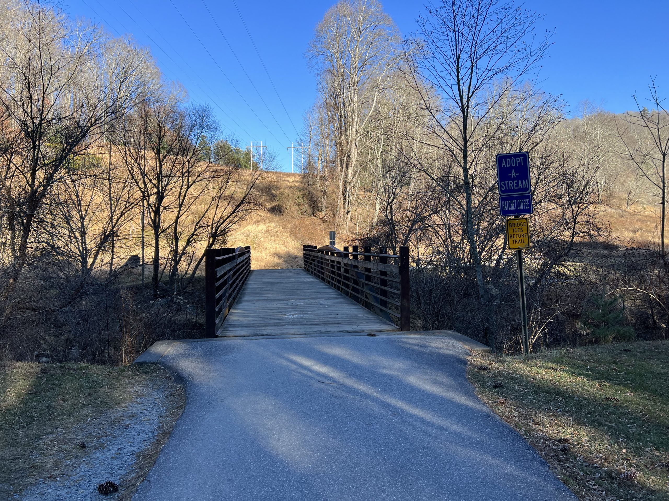
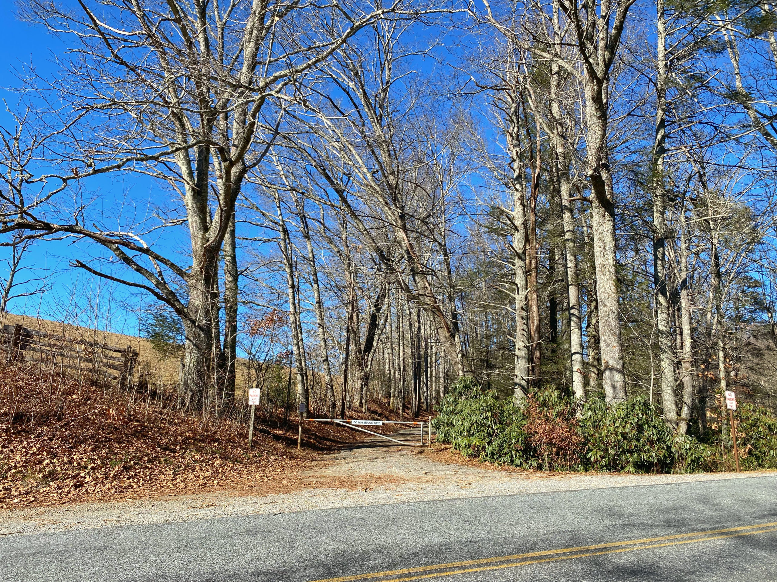
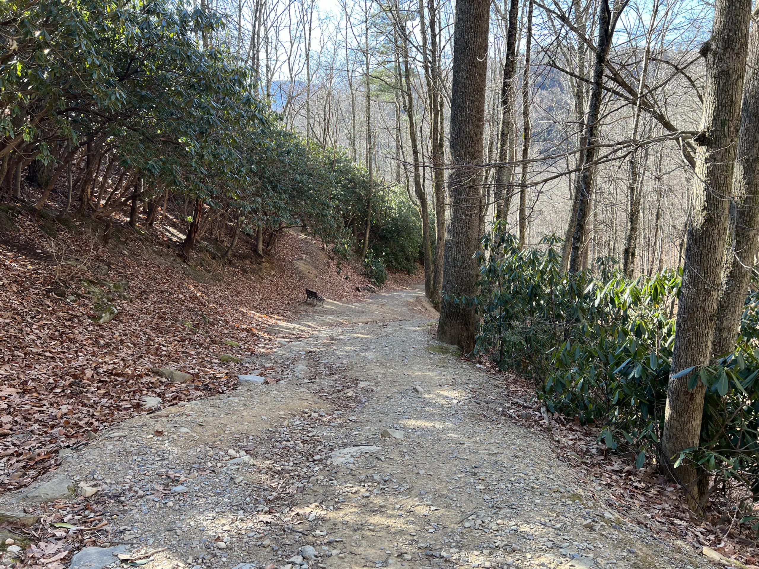
Old John’s River Trail
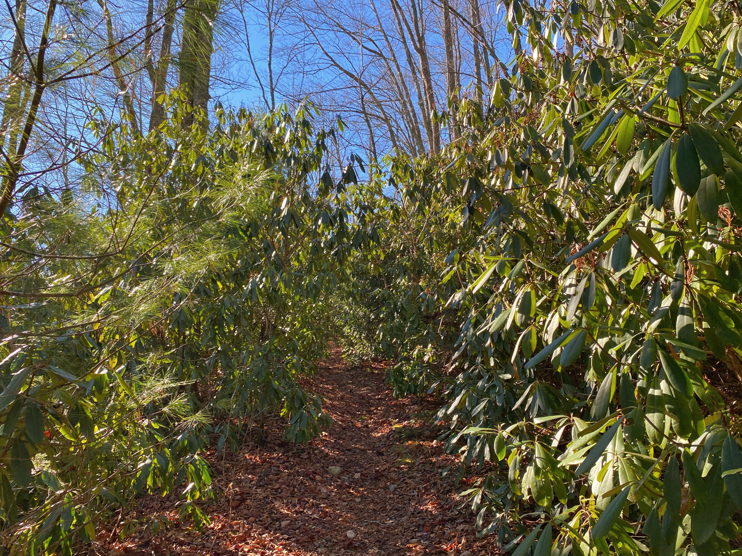
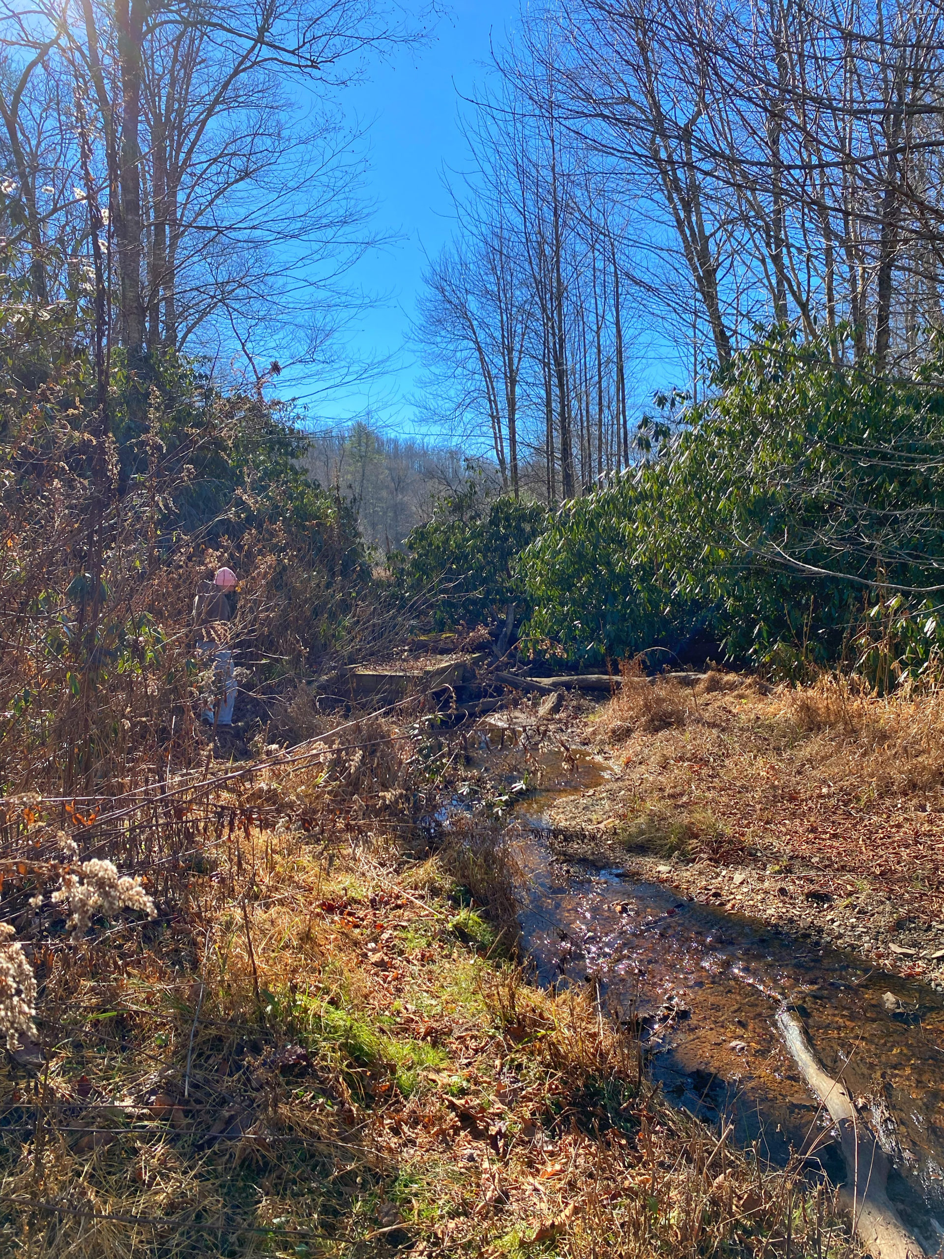
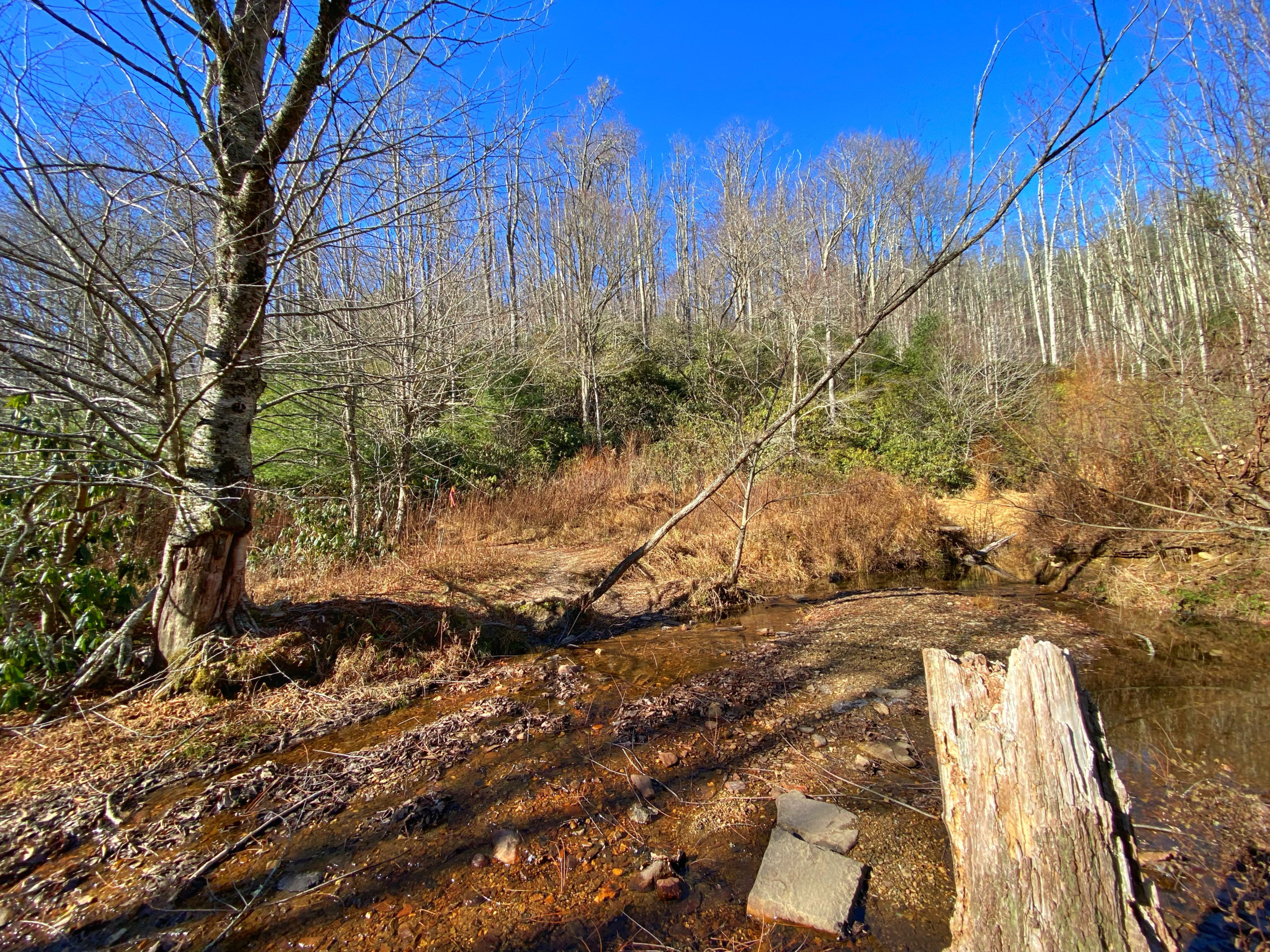
Old Johns River Trail is probably one of the lesser known trails as part of the Price Park network, but offers visitors a quaint walk in nature along a well maintained road that borders pasture before a creek crossing that leads you back onto the Boone Fork Trail.
This short .6 mile section is relatively easy and doesn’t require any special footwear, although you could potentially get your feet wet near the creek so be aware!
This trail doesn’t allow bikes, but you’re more than welcome to hike or take your dog on a nice walk. It will take around 45 minutes to complete this section, but closer to an hour and a half if you get back onto the Boone Fork Trail towards Price Park.
Trail Length: 0.6 miles one way, 1.2 out and back
Difficulty: Easy to Moderate
Surface: gravel and natural
Trail Use: hiking and leashed dogs okay
Blaze: N/A
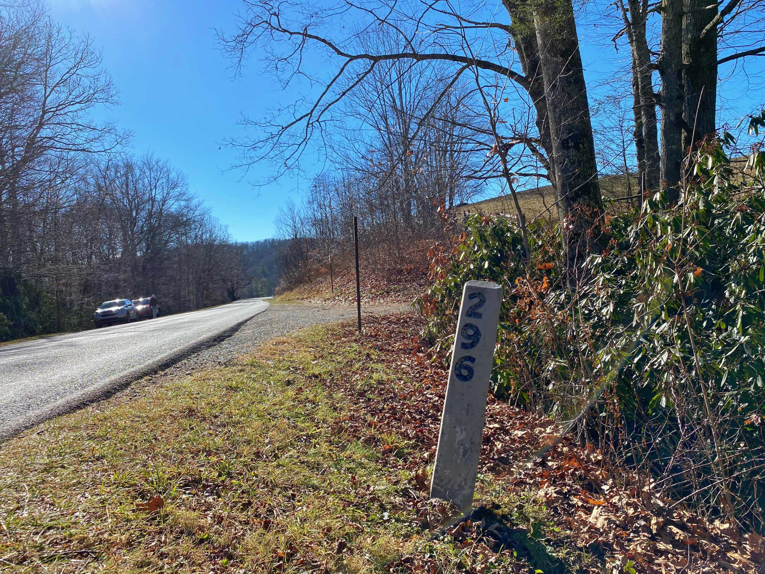
We parked at the Price Park Picnic Area and walked back north along the Blue Ridge Parkway towards Sims Pond. Once you reach Milepost 296, you’ll see a gate which marks the start of the trail. You’ll follow this service road up about .4 miles before the road leads to a fork– STAY LEFT.
While the trail is marked with a yellow blaze, it isn’t the most well marked path so bringing along a map is a good idea. You’ll know you’re in the right place if you reach a small creek on the left. Once you get to this point, you can complete the loop back towards Boone Fork Trail or turn around a head back.
Getting There:
Take US 221 towards Linville and travel for about 1 mile. Turn left onto the Blue Ridge Parkway. Travel 1.5 miles then the trailhead will be on the right.
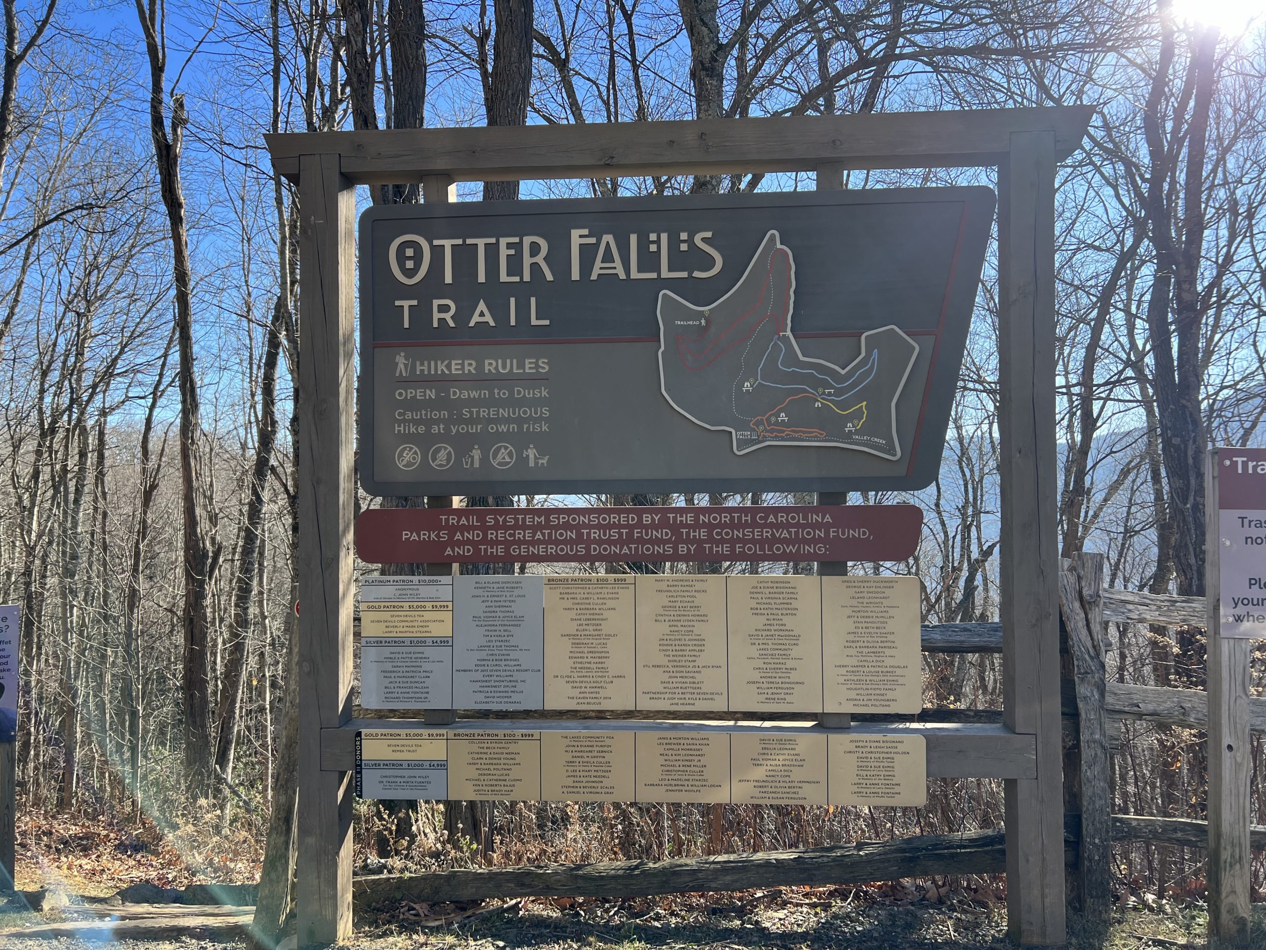
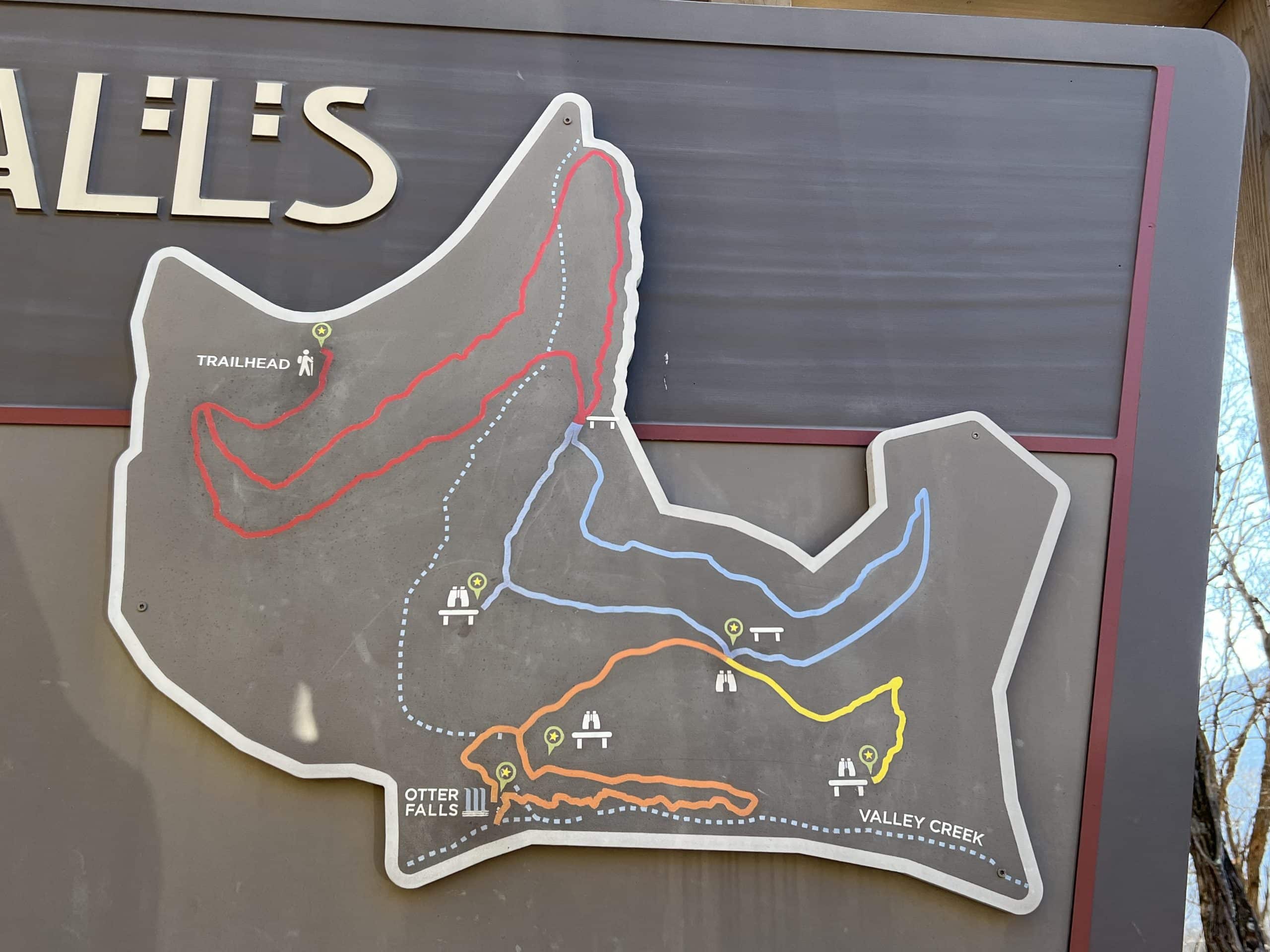
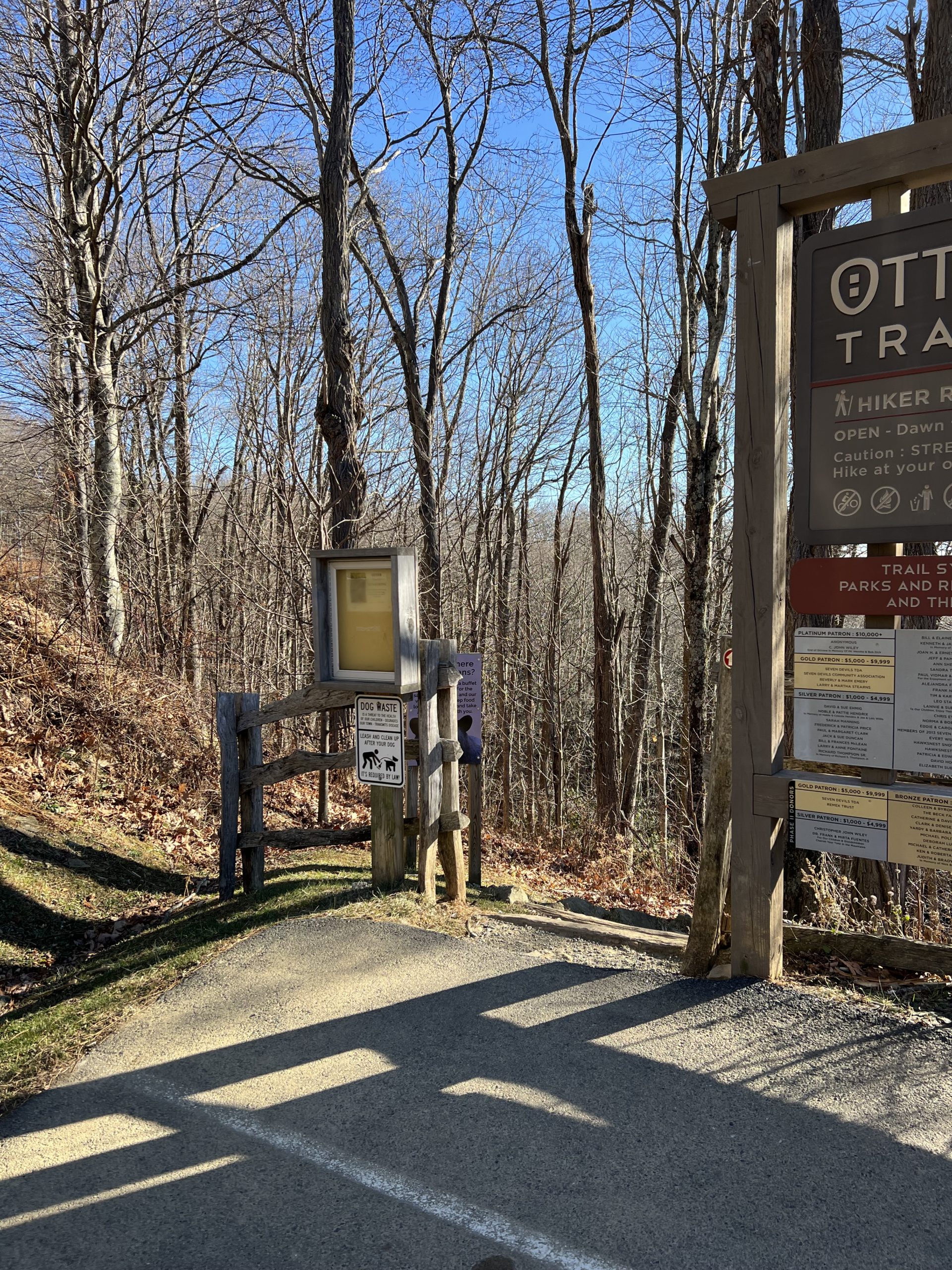
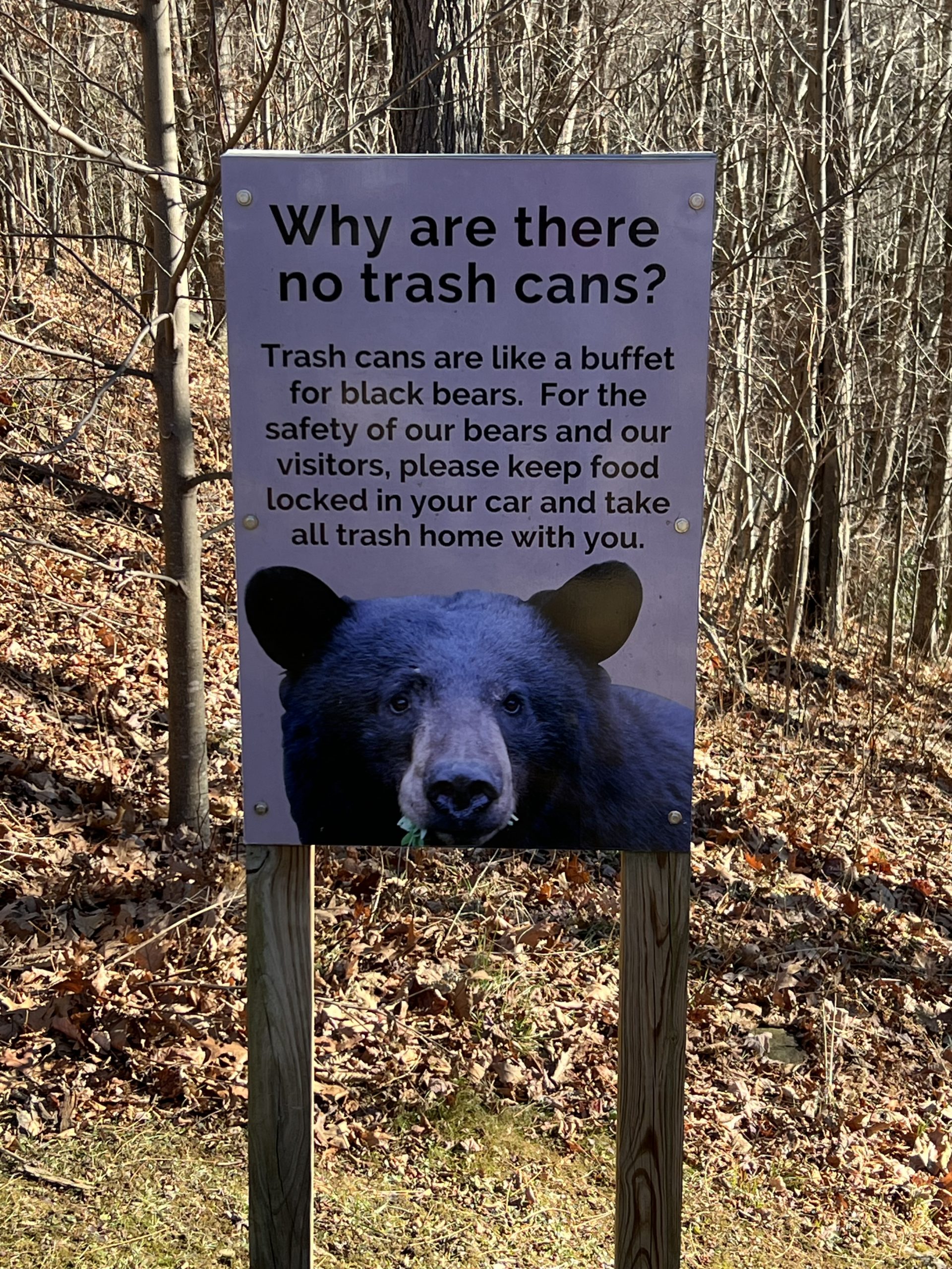
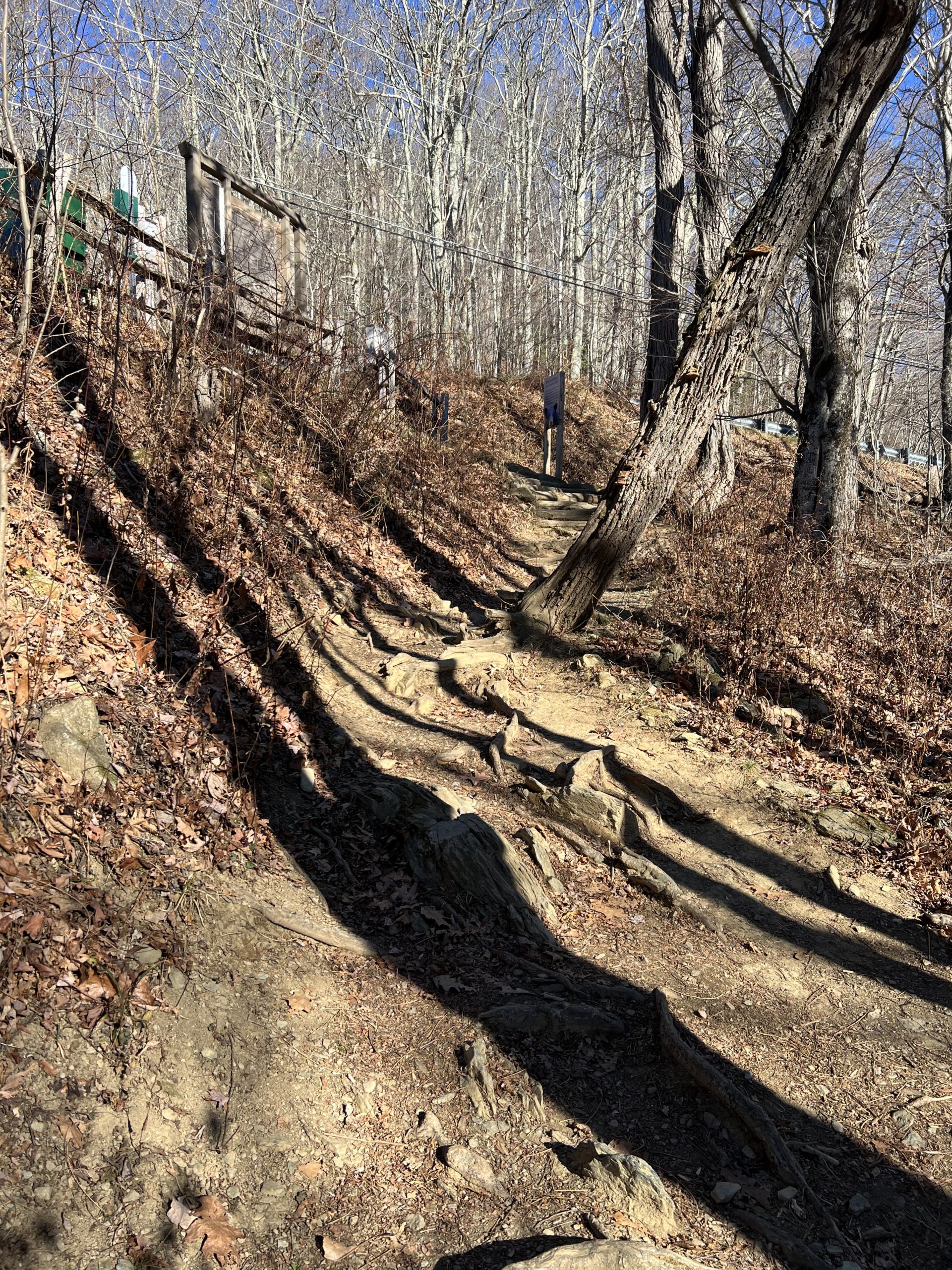
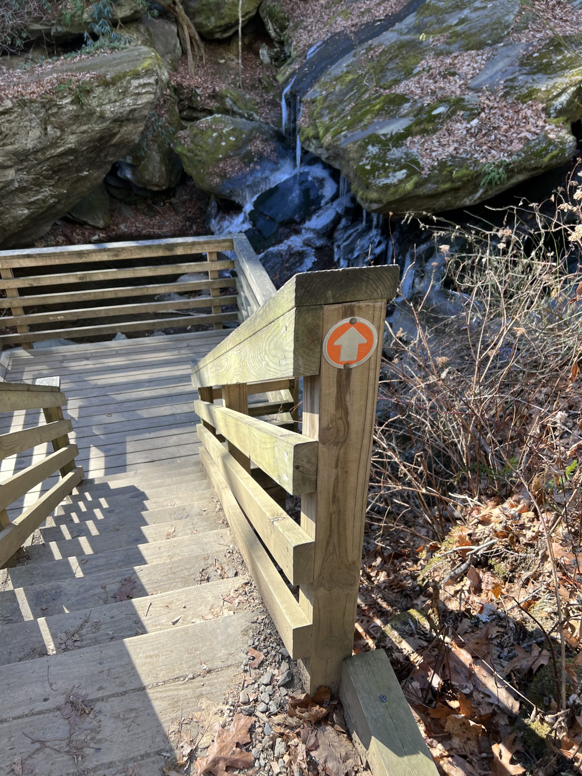
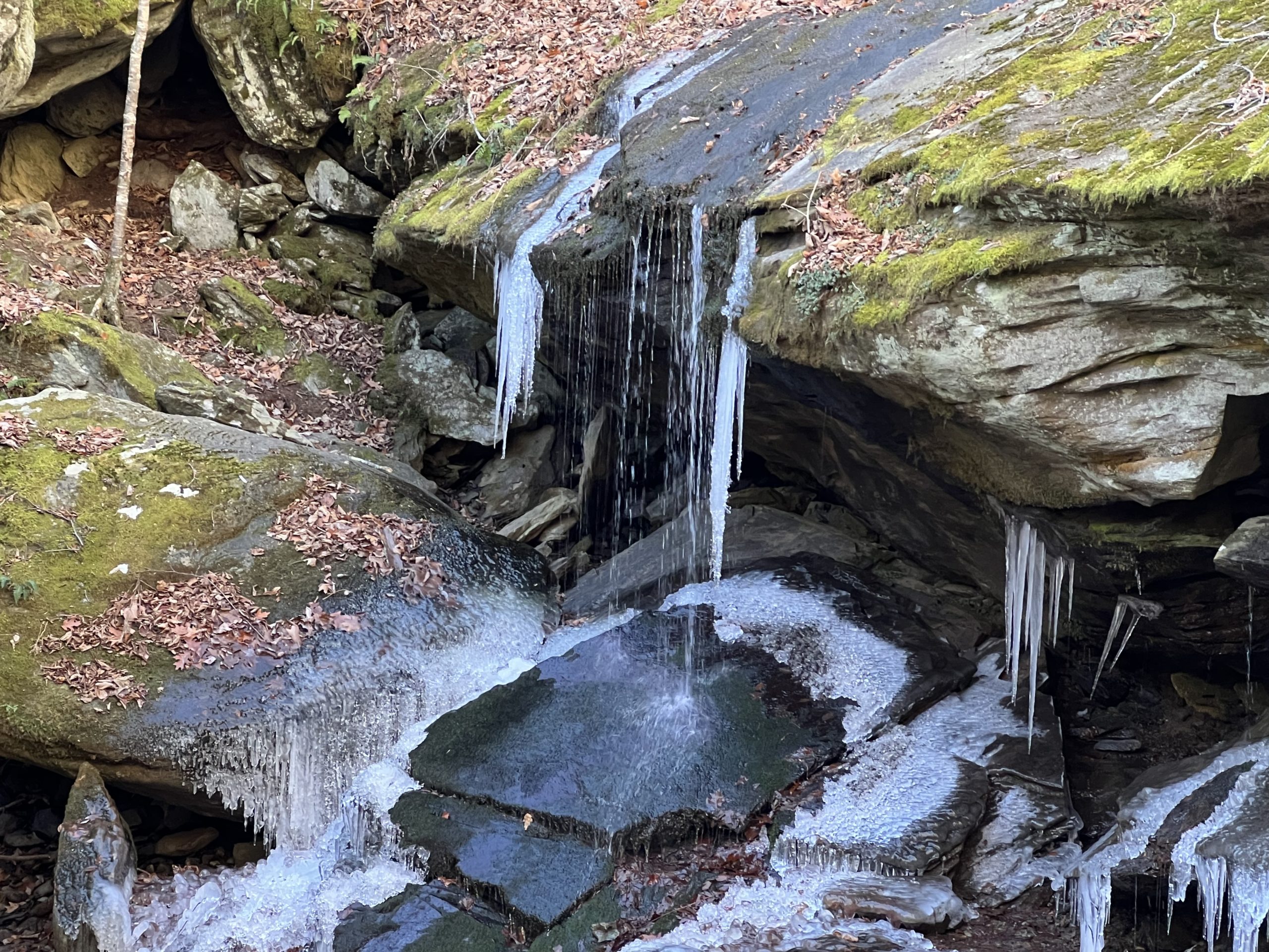
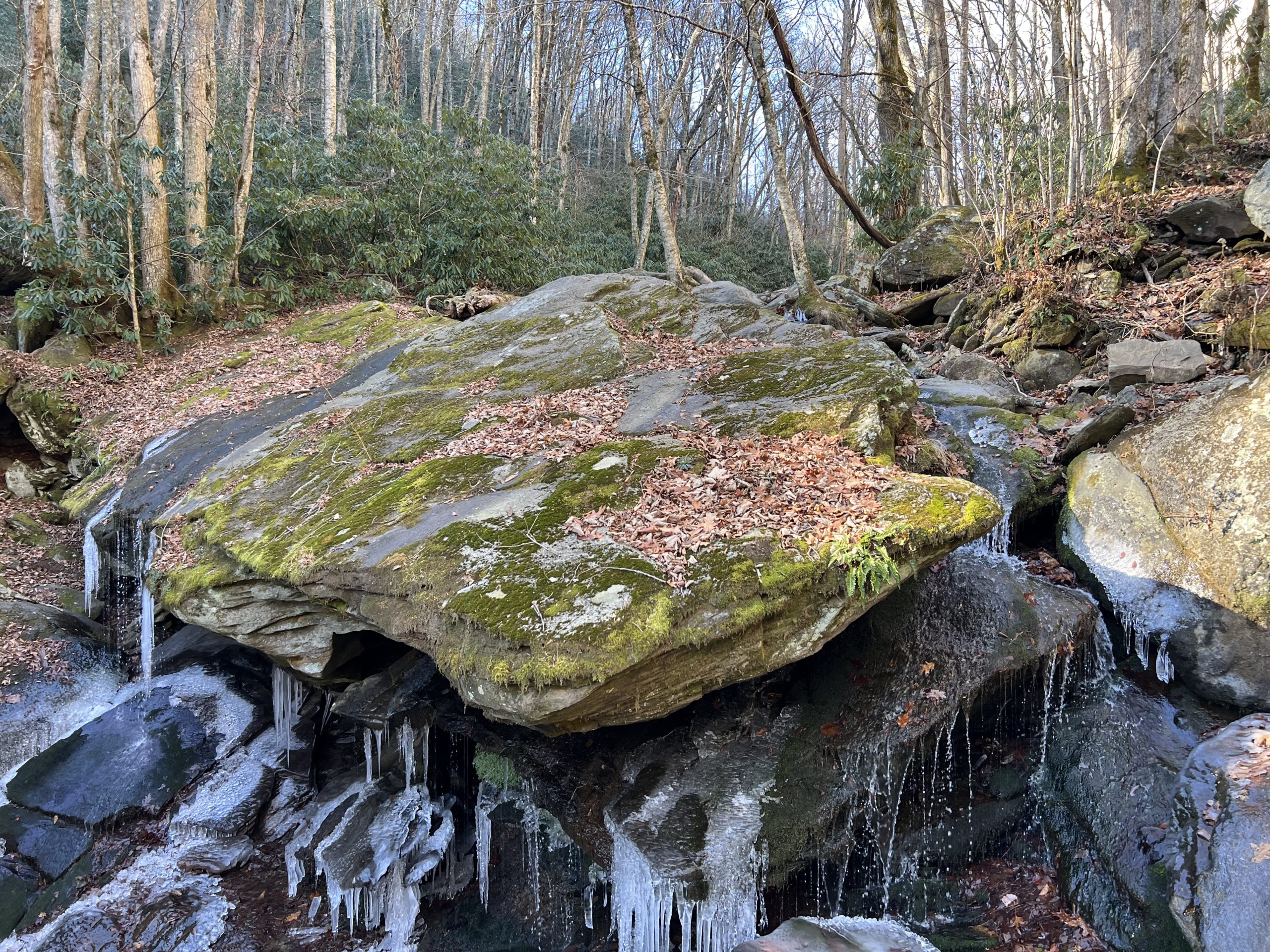
Otter Falls at Seven Devils
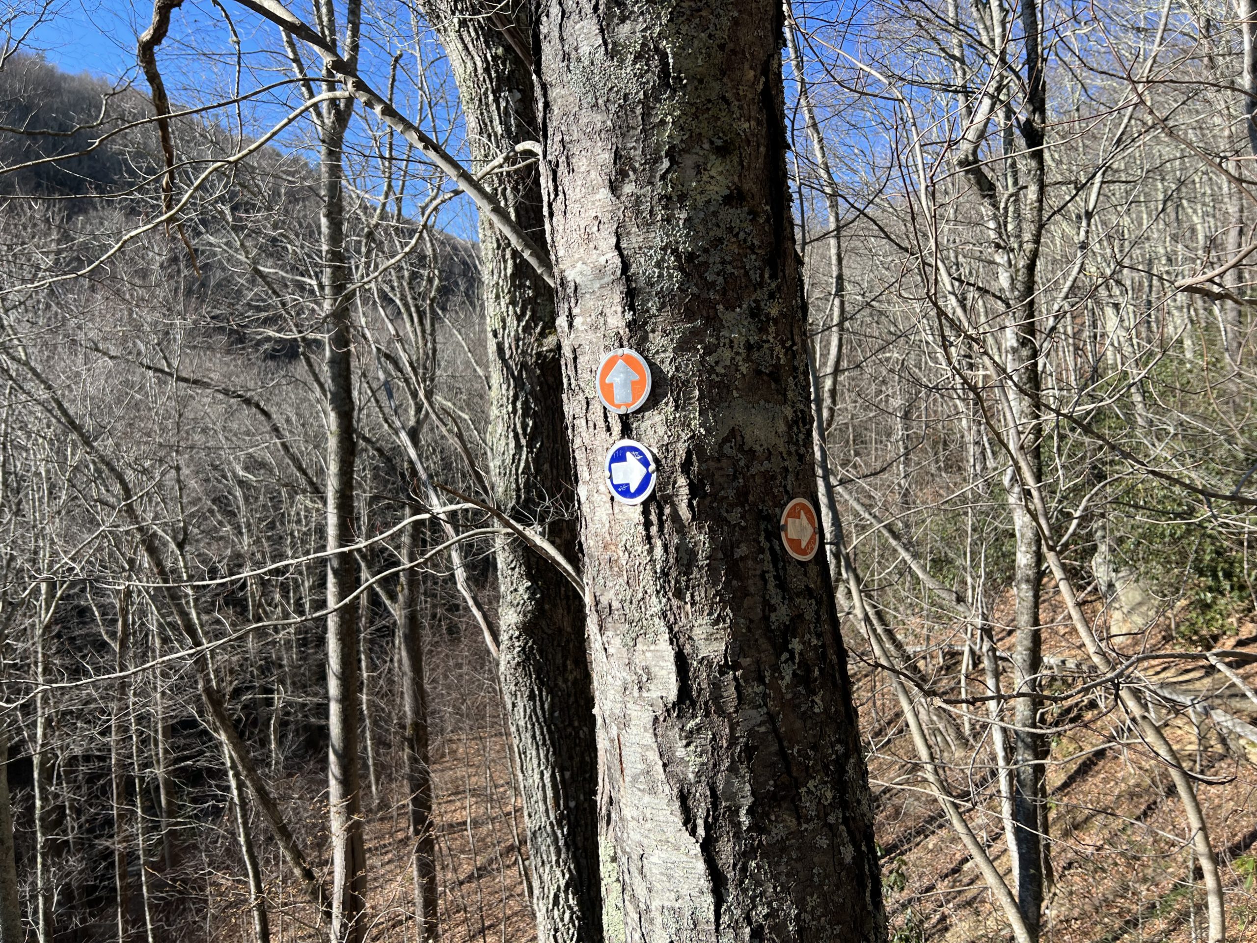
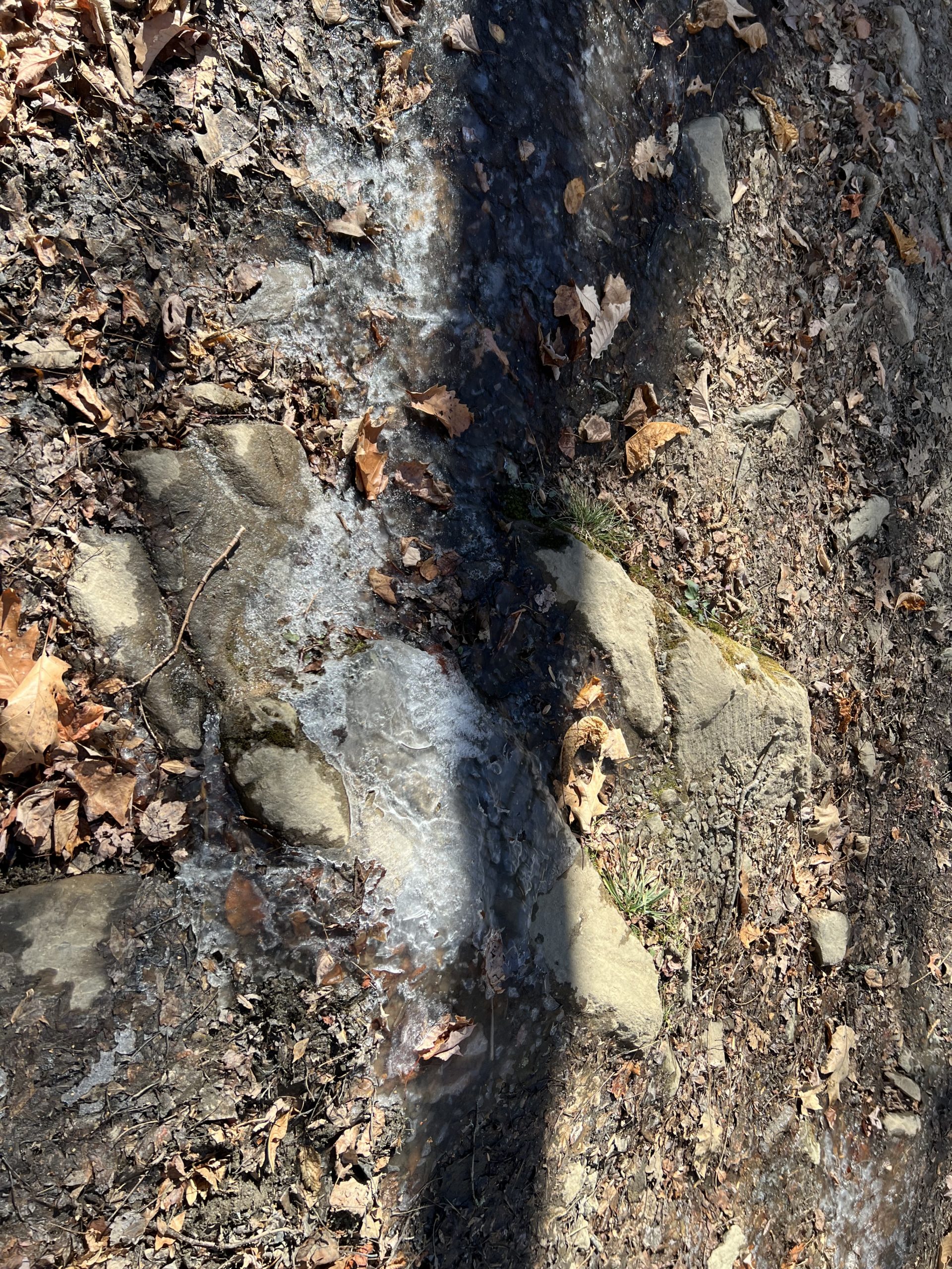
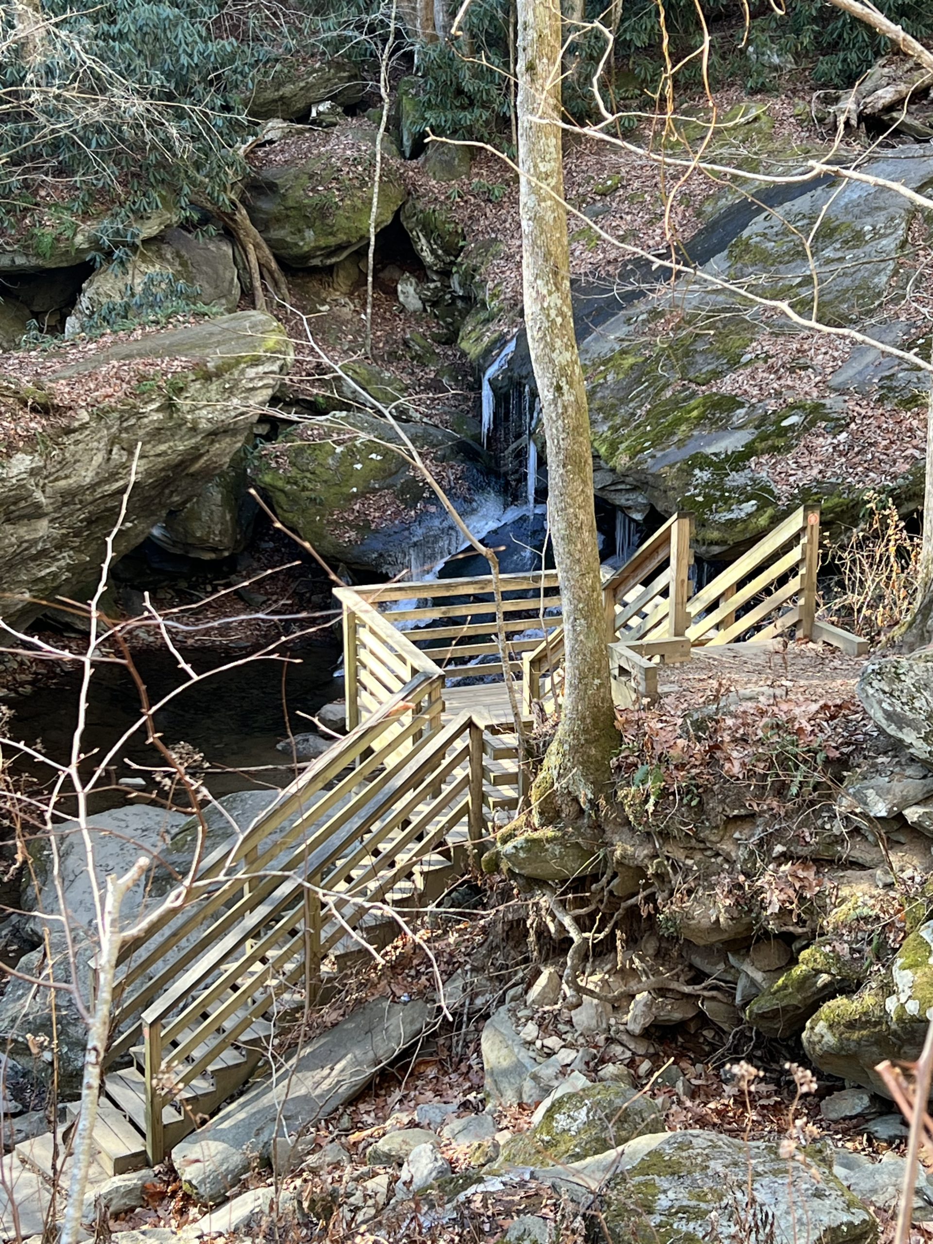
The hike at Otter Falls is strenuous but worth the effort. Coming off of a very cold couple of days, there was ice on the falls and it was absolutely beautiful. Hiking down into the waterfall area is not so bad, it’s hiking out that is the strenuous portion. The markers can be confusing, so I have broken down the hike into more concise directions. At the parking lot you will start the Red Trail Loop. It goes down for about 100 ft and then forks; take the left fork. Continue Hiking until mile 0.3 where the Red and Blue Trail Loops intersect. Turn left and follow the Blue Trail uphill.
Trail Length: 0.8 mile loop
Difficulty: Easy
Surface: mostly paved with a little gravel and some wooden bridges
Trail Use: walking, jogging, leashed dogs ok
Blaze: NA
At mile 0.4 there is a bench and a “T” junction with the Orange and Yellow Trails. At this point you can hear the falls. Take a right onto the Orange Trail and follow it downhill. It slopes gently to the left. At mile 0.5 the Orange Trail Loop splits into two directions. Follow the low bridges to the right and up to the observation area. At this point, you can see the falls. They flow around a large boulder and drop 20 feet to the river below. Again, a lot of it was frozen due to the weather, and the footing became slippery. Proceed with caution during colder temperatures and watch where you are stepping. Walking back out it was much easier to find my way, but it is almost exclusively uphill. Fortunately there are strategically placed benches at the top of many of the slopes, so we sat and rested a few times. Overall the hike took about an hour with resting and stopping to take pictures.
Getting There:
From Blowing Rock, take Hwy 321 into Boone. Turn left onto Hwy 105 at the intersection with the Wendy’s. Follow 105 for 10 miles past Foscoe, and turn right on Seven Devils Rd. Follow Seven Devils Road for about 1 mile. Stay left to get onto Skyline Dr. then take a left to get into the Otter Falls Parking area. Access the trailhead from the parking lot.