
In September, we walked the Figure Eight Trail at Flat Top Manor, hiked the Blue Ridge Conservancy trail, walked the trail at Brookshire Park, and scaled Cragway Loop at Grandfather Mountain. With varying woodland environments, these trails are all excellent places to see the shift to fall begin. As always, please remember to pack plenty of water and snacks, and to do some research before you set out on your hiking experience. Read along below, and see what we’ve been up to in September.
Figure Eight Trail
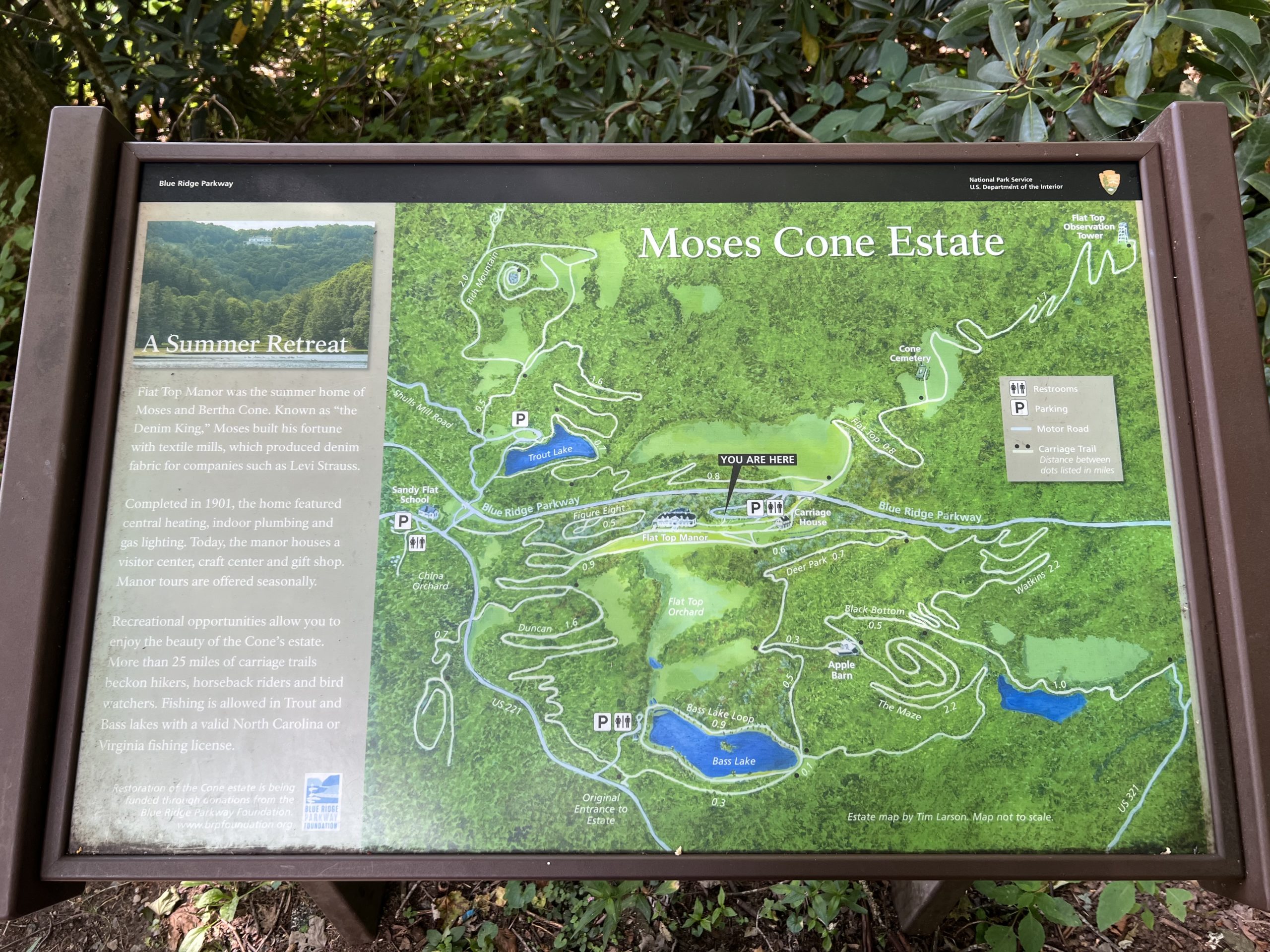
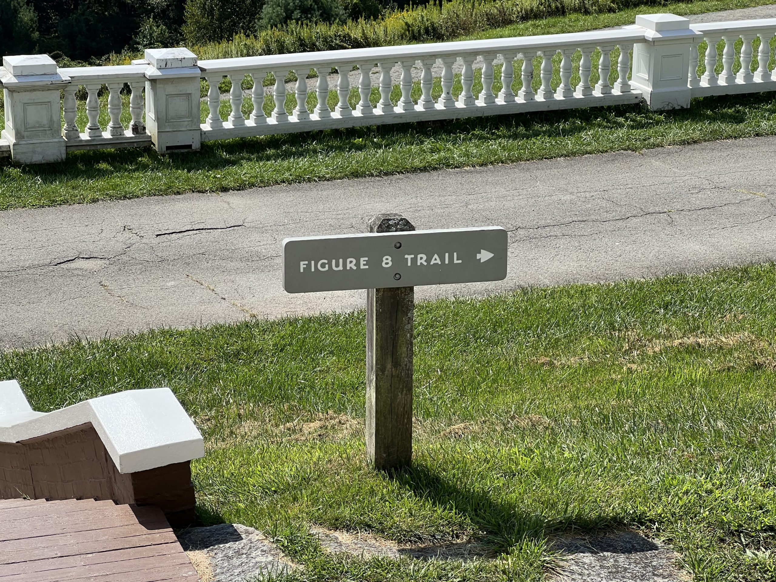
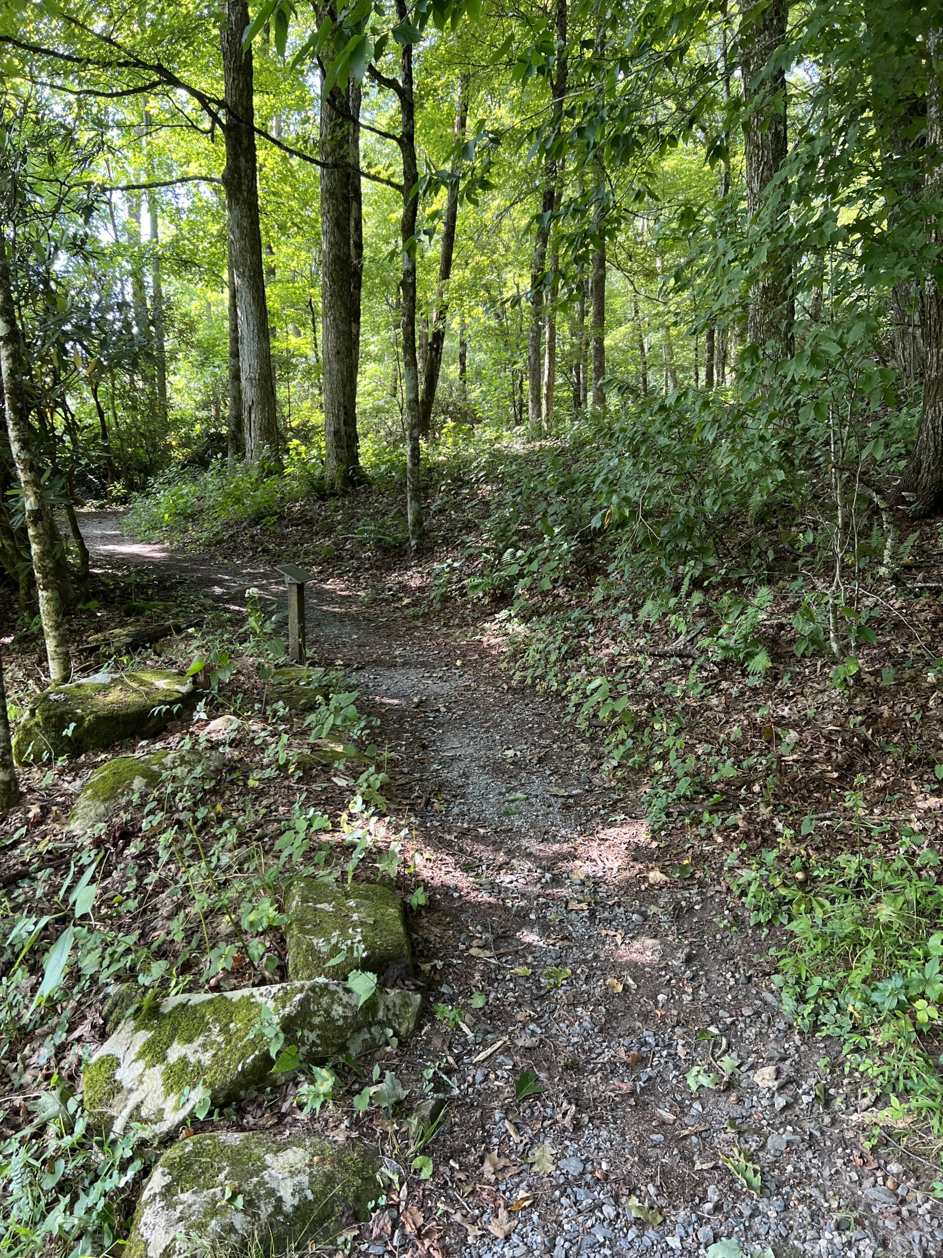
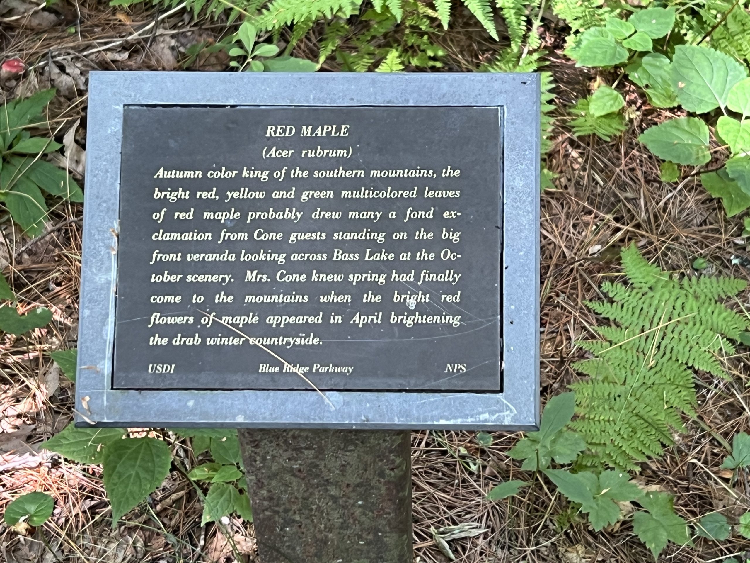
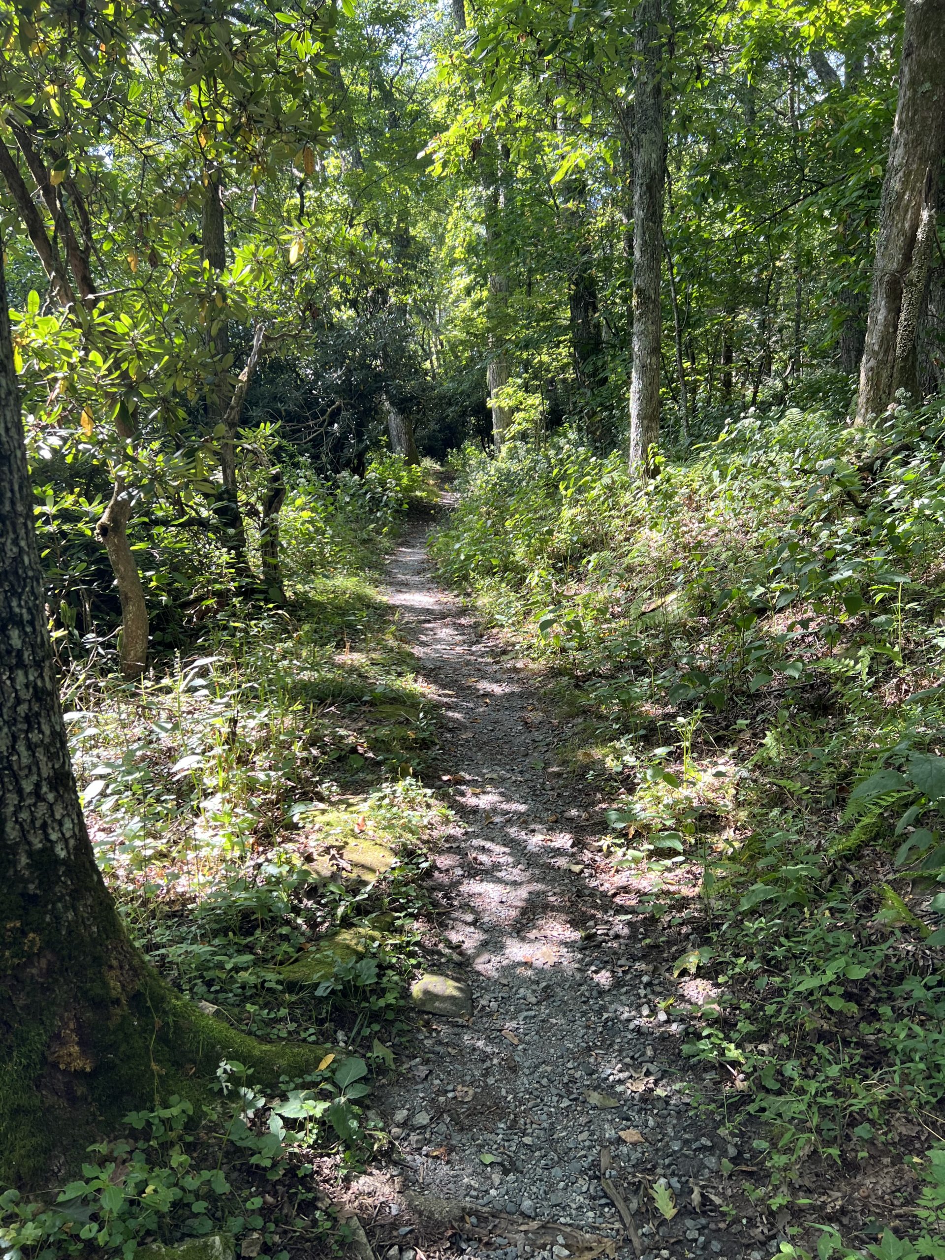
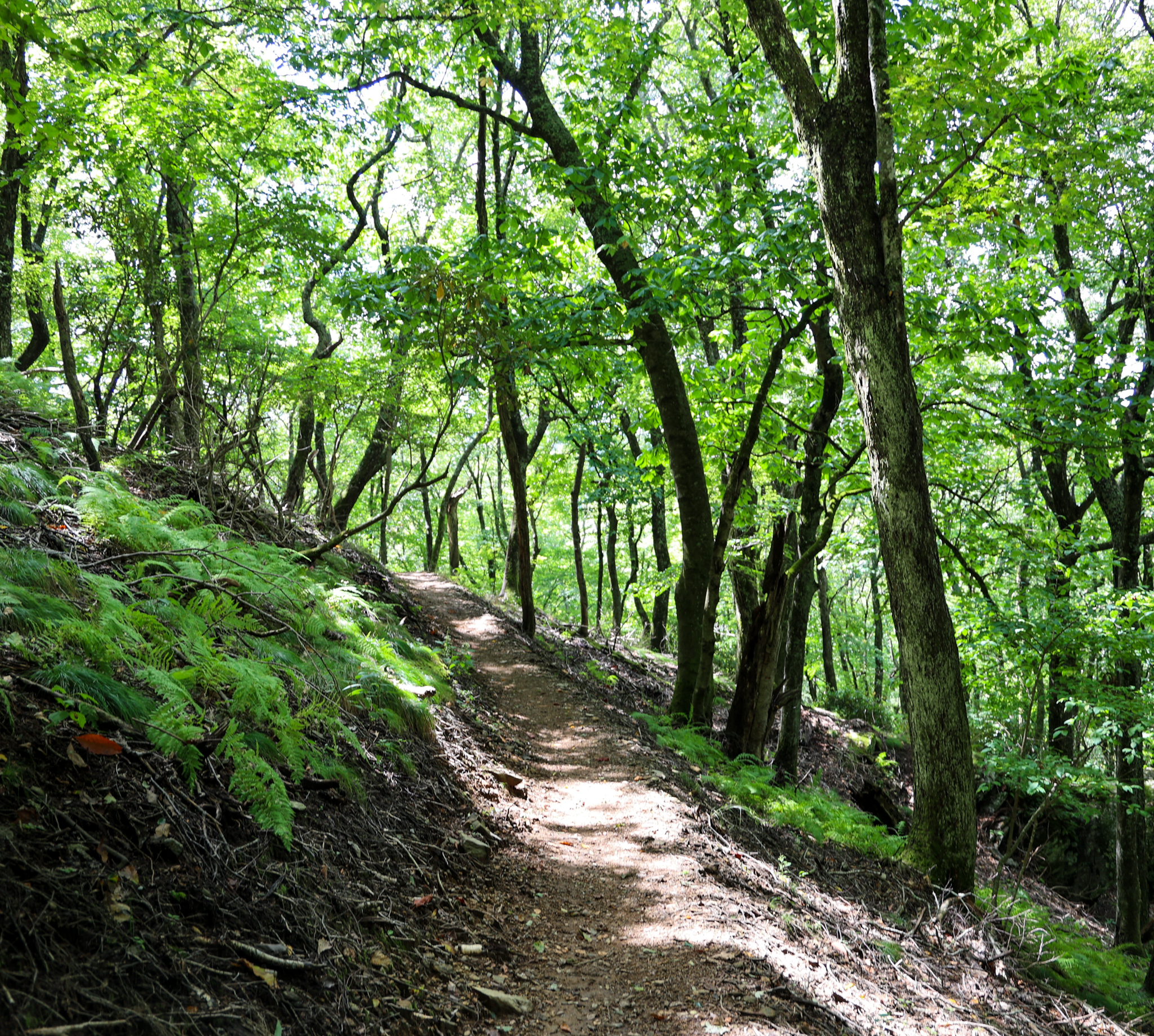
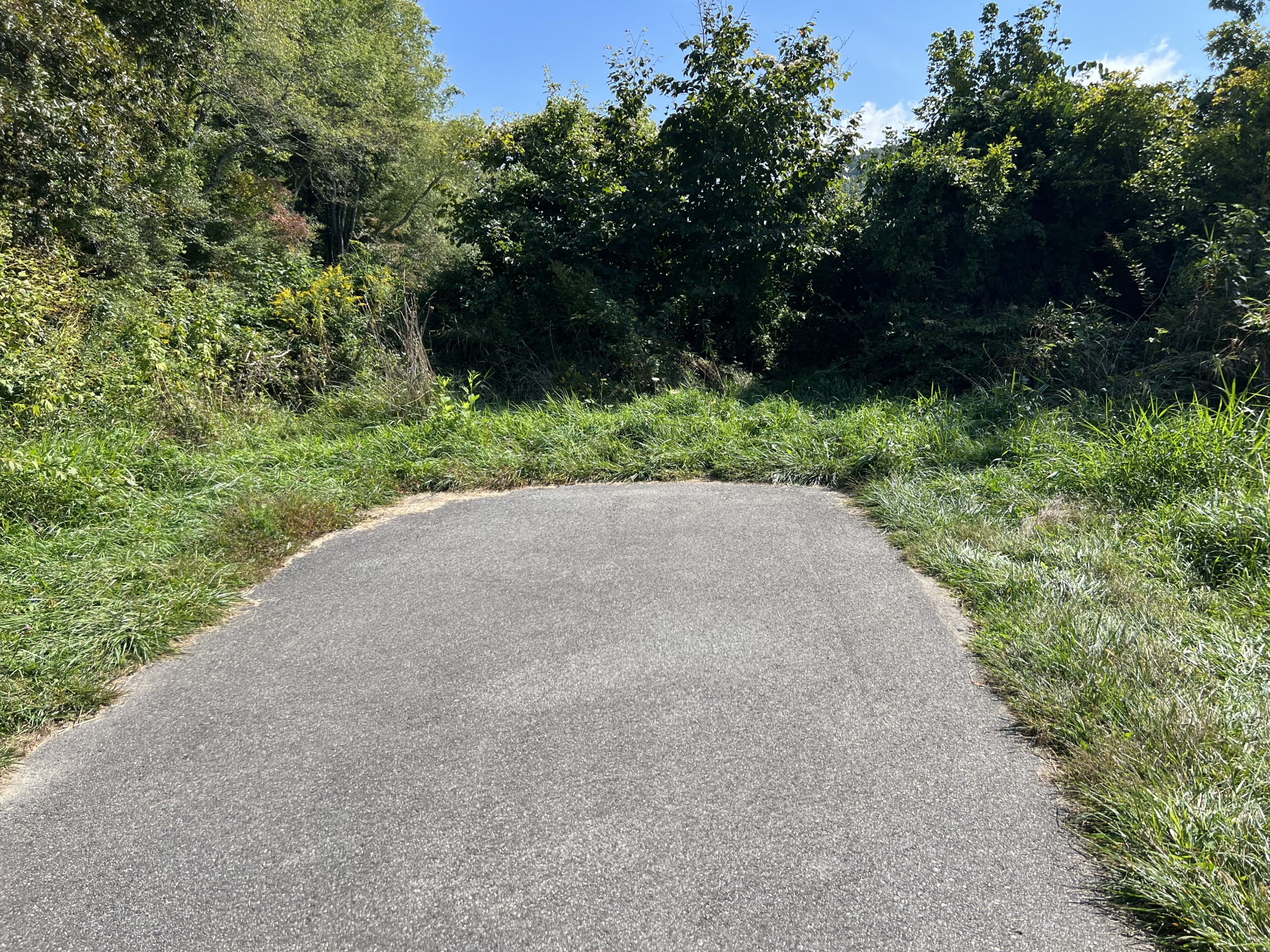
This trail is a portion of the Moses H. Cone Memorial Park Trails, and sits right next to Flat Top Manor. If you walk out the Manor house’s front door, there is a sign for the Figure Eight Trail. Follow the signs, and they’ll lead you right to the trailhead. The trail itself is wooded and feels very secluded even though you are right next to the Manor house. The trail is a loop with a figure eight in the middle of it. There are small signposts located at various intervals with information about the trail’s history on them. It is a great place to go hike if you want something quick and convenient that still feels far removed and secluded. The trail seems to get less traffic than some of the other Cone Trails, and because of that there are singing birds, squirrels, and chipmunks visible along the trail.
Trail Length: 0.7 mile loop
Difficulty: Easy to Moderate
Surface: narrow gravel path with some natural terrain and stairs
Trail Use: hiking, leashed dogs ok
Blaze: N/A Trail marked with signage
Getting There:
Take Hwy 221 South towards Linville for about 1 mile. Turn right onto the Blue Ridge Parkway access ramp then turn right onto the Blue Ridge Parkway. Follow the signs for Flat Top Manor and Craft Shop. The turn will be a right less than a mile up the Parkway. It will lead you to a loop that offers parking for Flat Top Manor and Highland Craft Guild Store. Once you park you can take the stairs or the ramp down to the Manor House. From there, there are signs directing you to the Figure Eight Trail.
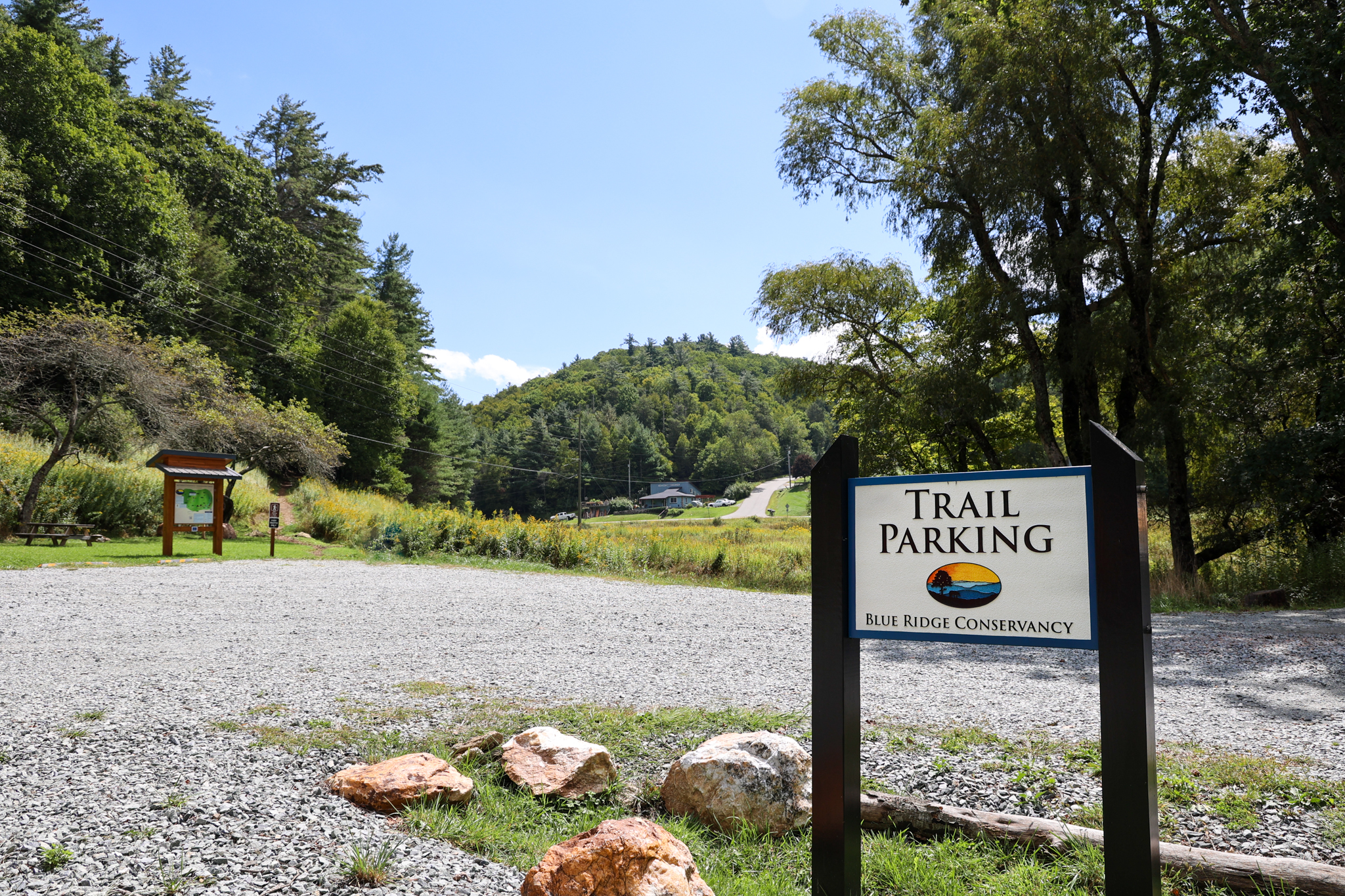
Blue Ridge Conservancy Trail
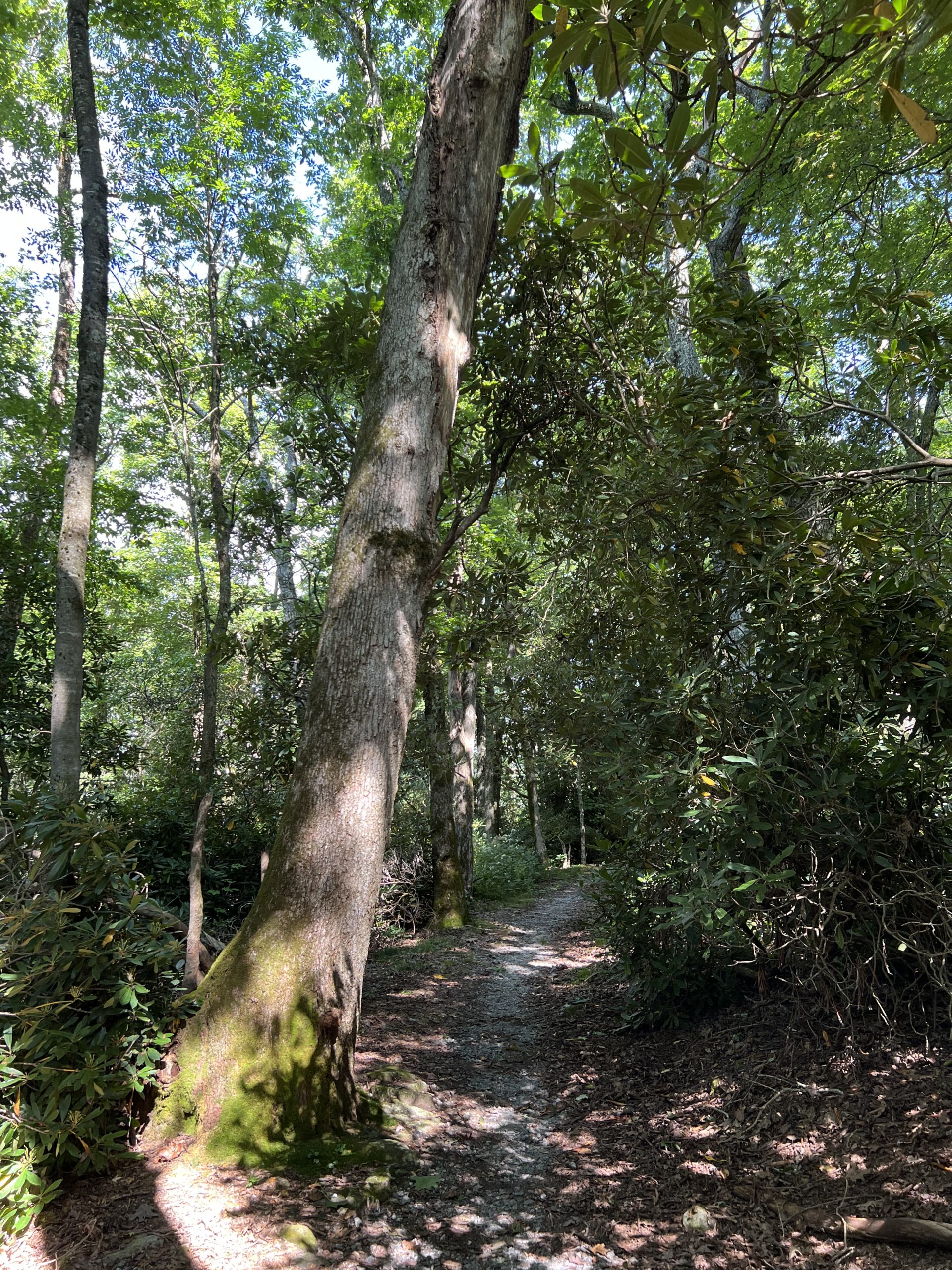
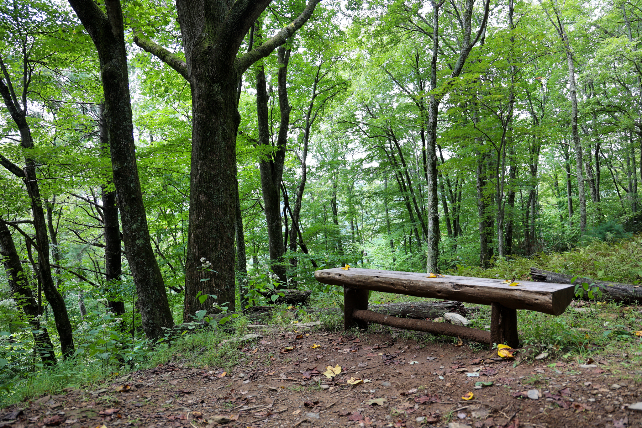
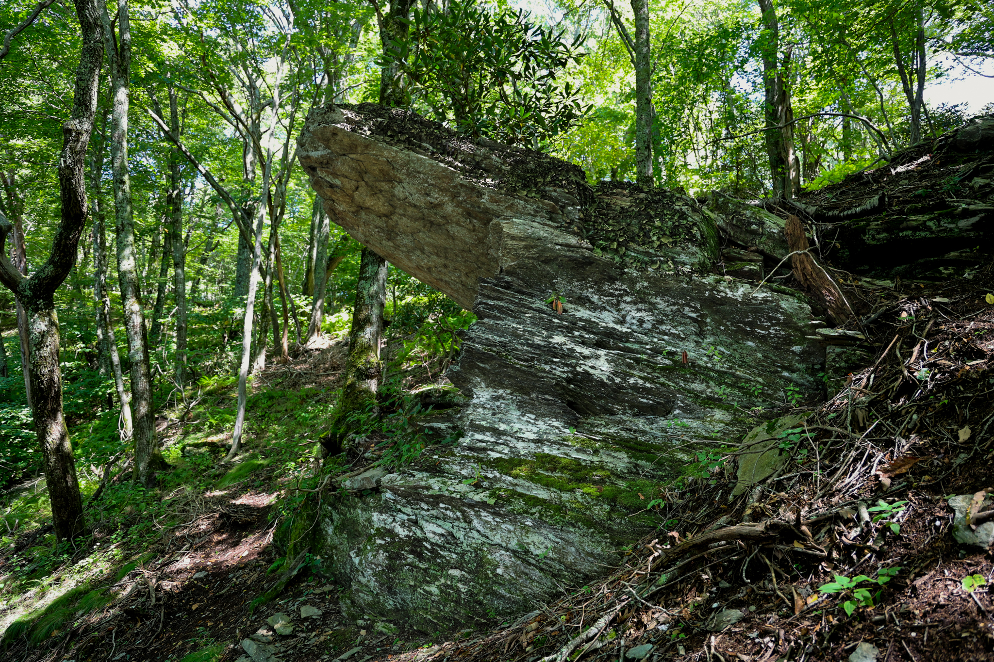
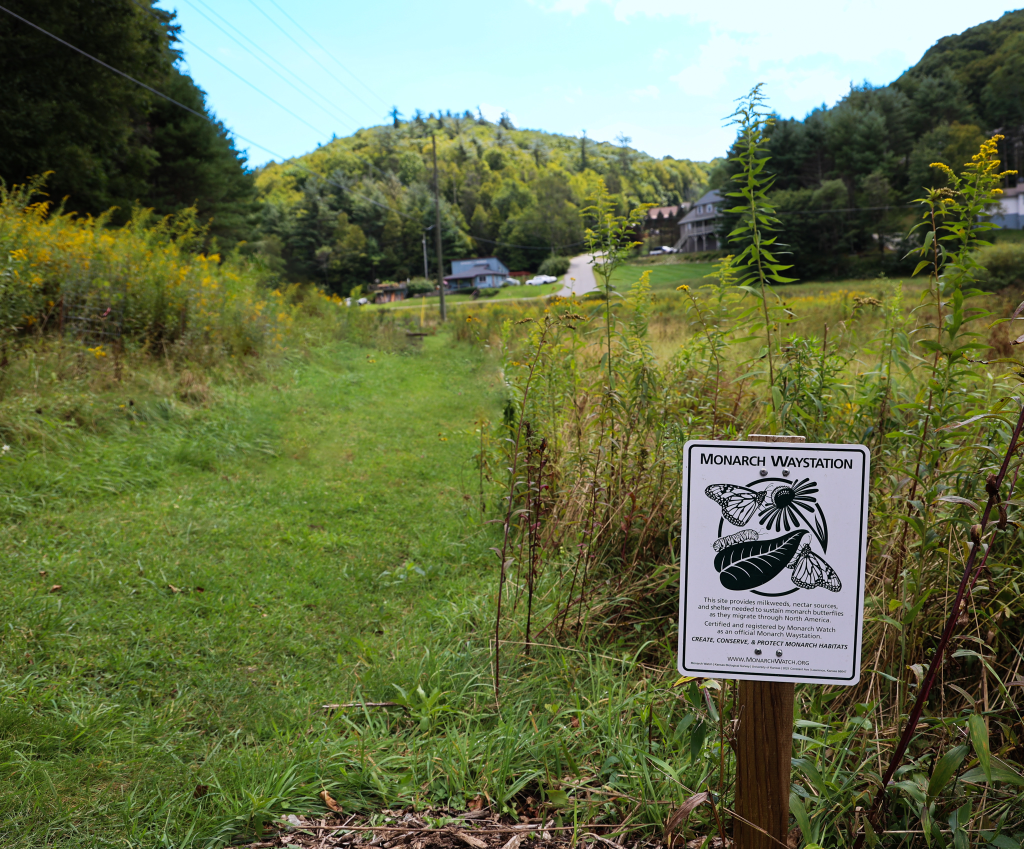
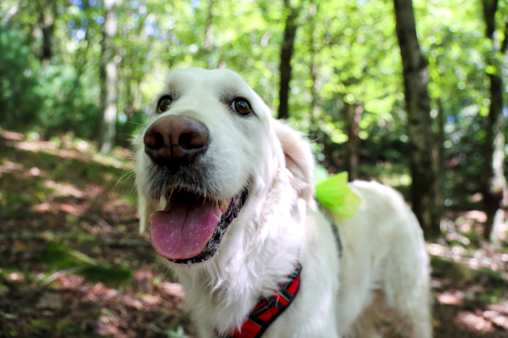
The Blue Ridge Conservancy Trail was such a nice surprise. It starts with a short 0.1 mile loop that is a Pollinator Walk. In the spring and summer it is home to many local wildflowers that keep our pollinators safe. We took our dog on this one and it was very good for dog walking. Please remember to keep pets on a leash when hiking to protect our ecosystems. This trail crosses through lots of diverse forest and is surrounded by local flora and fauna. It will be a great place to leaf peep during Fall as it is not nearly as crowded, but offers tons of foliage. It is also an excellent place to get in a workout as it is steep in some sections. Make sure to pack water for when you work up a sweat!
Trail Length: 2.2 Mile Loop
Difficulty: moderate to strenuous
Surface: natural with some gravel areas
Trail Use: walking, dog walking, bird watching
Blaze: N/A
This trail is a great example of how stewardship and conservancy benefits our locals. It meanders around the Blue Ridge Conservancy Campus and leads past interesting rock outcroppings, wildflowers, and through the forest. The Blue Ridge Conservancy as an organization, does so much to preserve and maintain the High Country’s most renowned trails.
Getting There:
From Blowing Rock, take US-321 towards Boone. Continue on US-321 for 1.9 miles then turn right onto Aho Rd. Go 0.2 miles on Aho Rd. and you will see the Blue Ridge Conservancy on your left and the turn for the trail is the next left. It has a clear parking area.
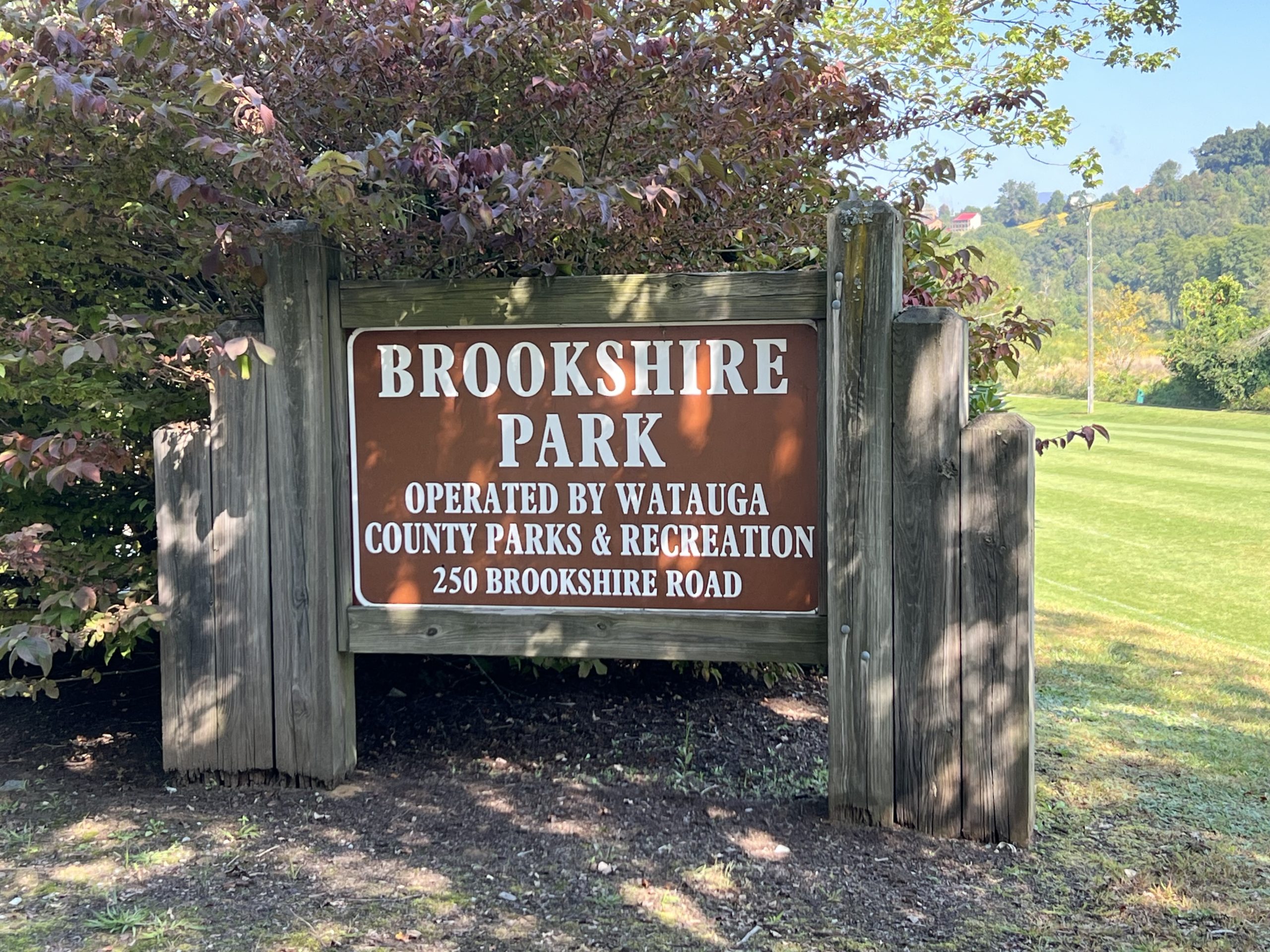
Brookshire Park Trail
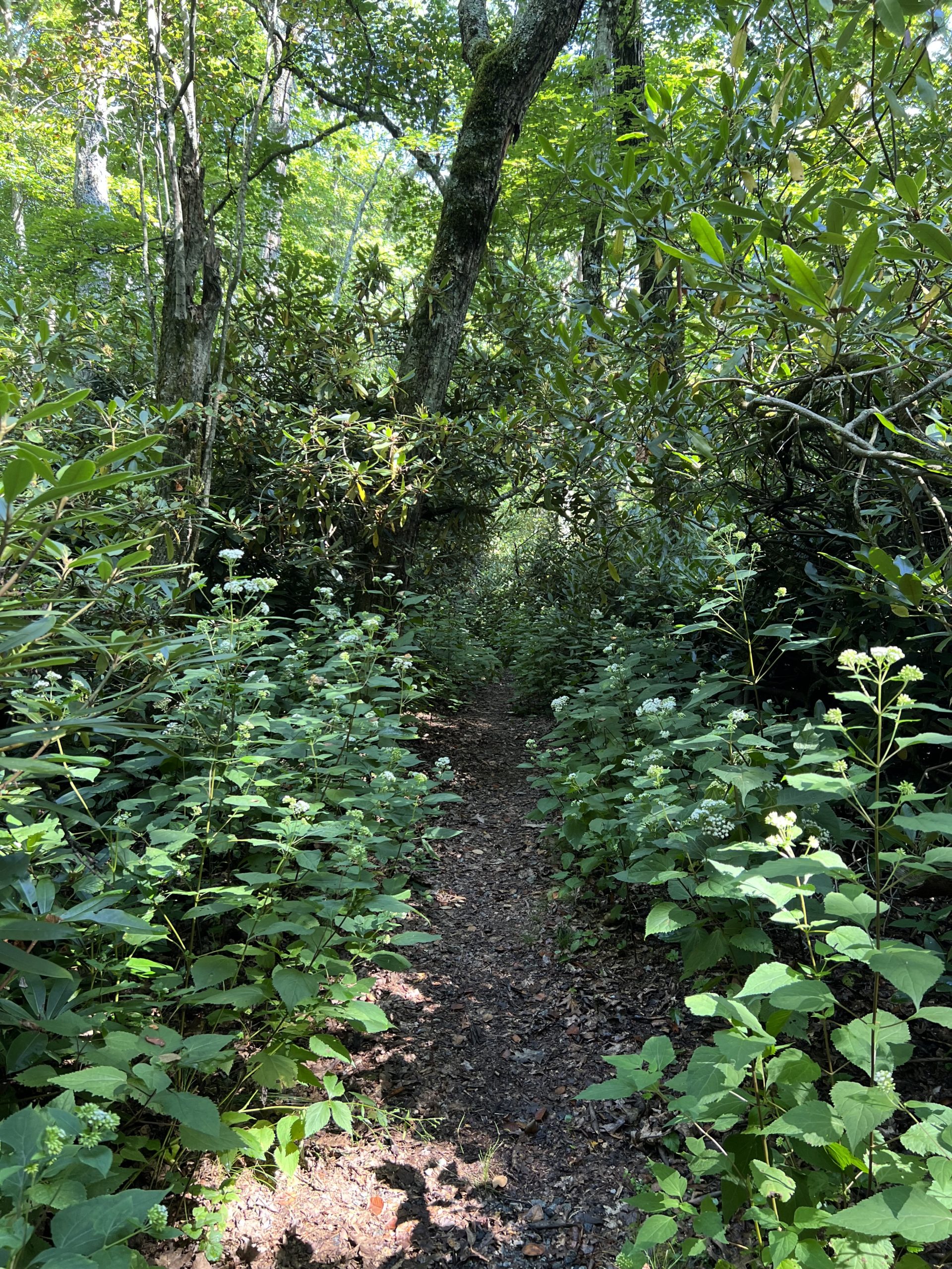
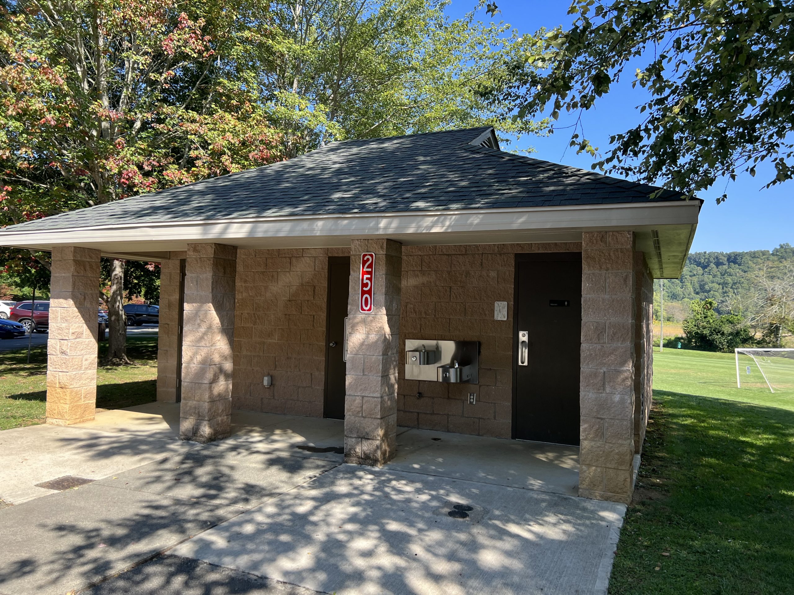
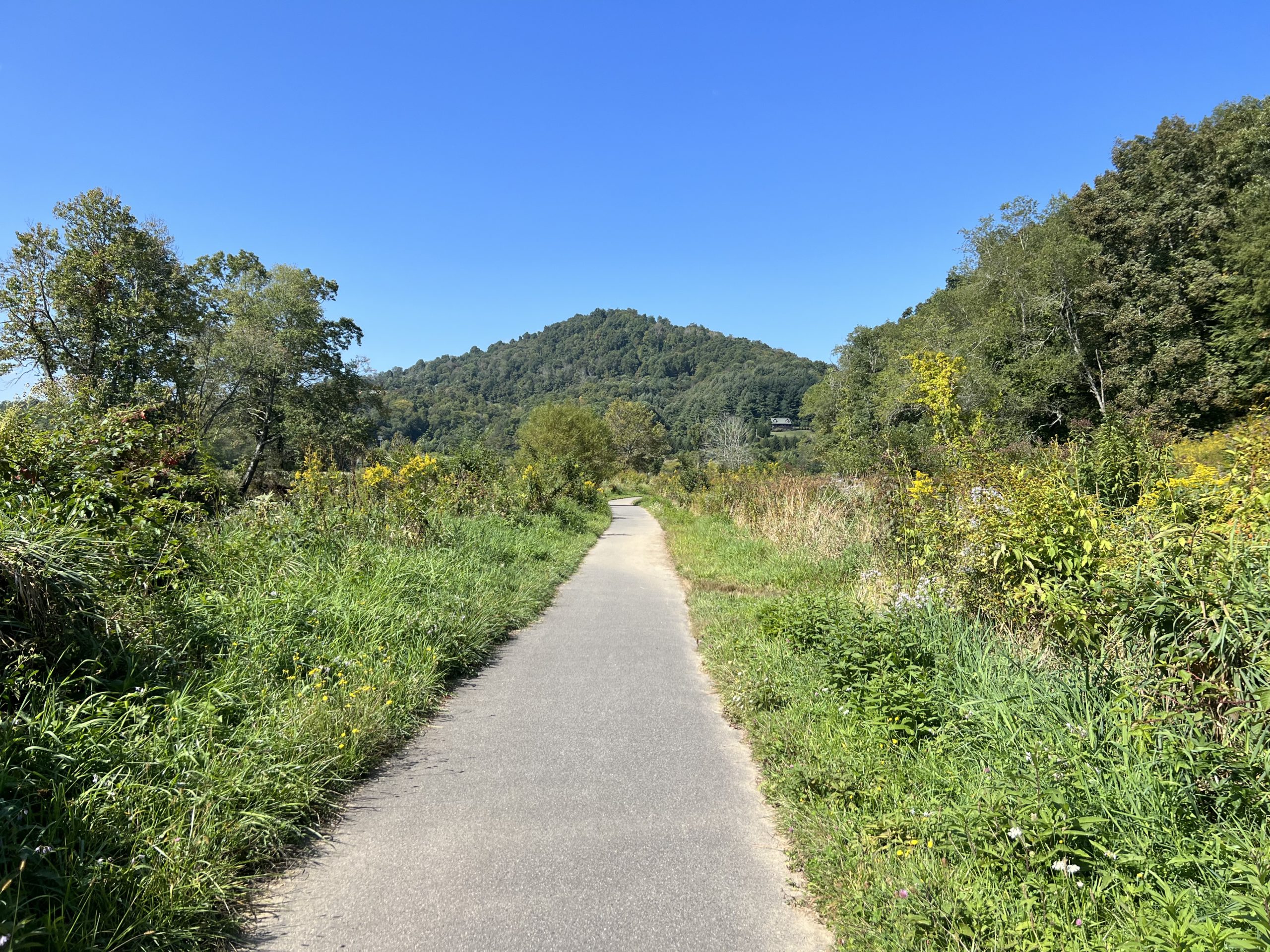
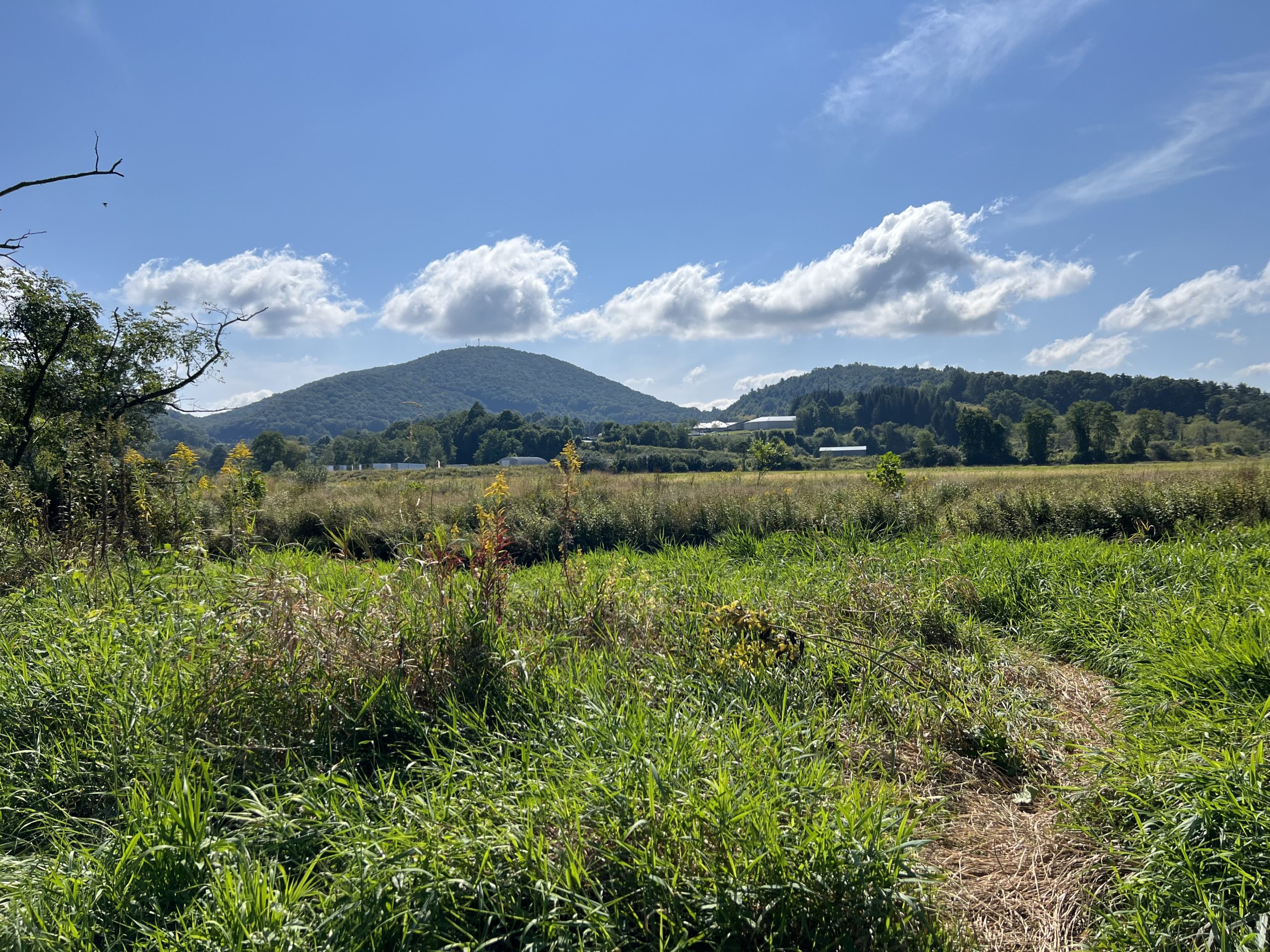
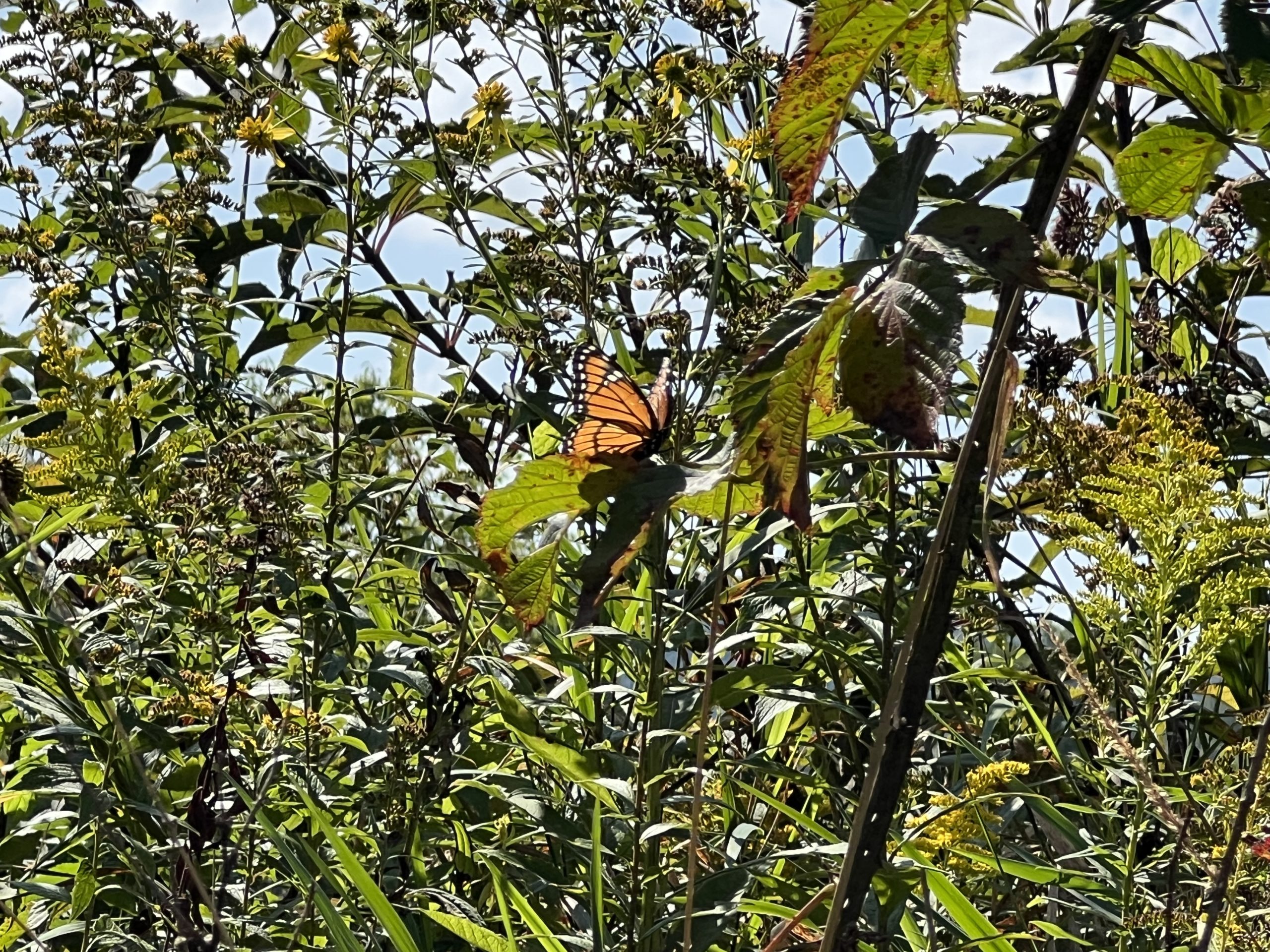
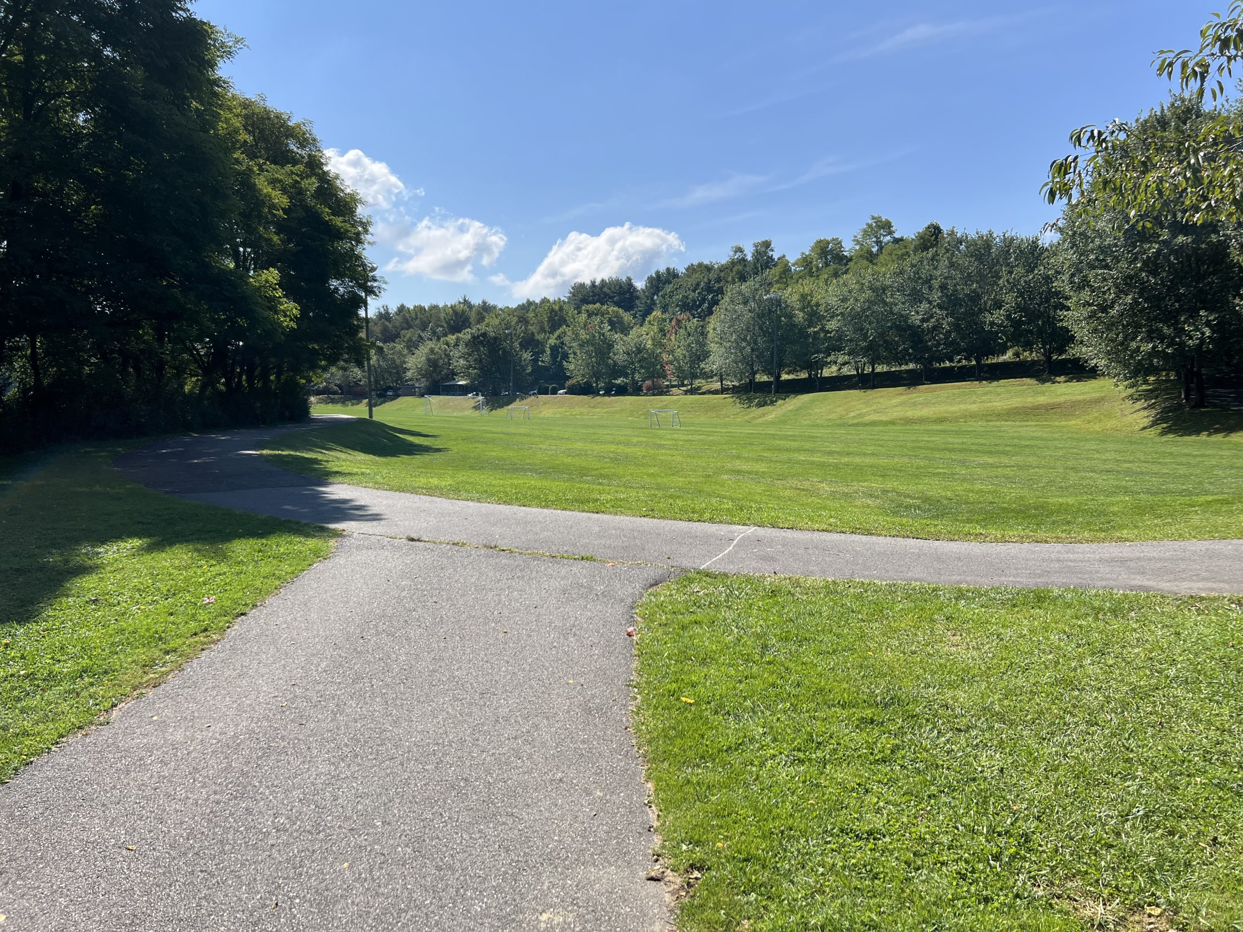
This trail starts out as a loop around a soccer field. It has a large gravel parking lot, and handicapped accessible bathrooms with pull bars. The trail itself is also handicapped accessible as it is wide and paved. We started walking right from the bathrooms and the pavement was nice and flat. You come to an area where the trail forks and you can continue the loop or go straight. We went straight and ventured out into the valleys of Boone. This trail is open, sunny, and lined with wildflowers. It is also close to Booneshine Brewing Company if you want to have a refreshing beverage and food after your hike.
Trail Length: 1 Mile 2 out and back
Difficulty: Easy
Surface: Wide Paved Surface
Trail Use: Hiking, biking, leashed dogs ok
Blaze: N/A
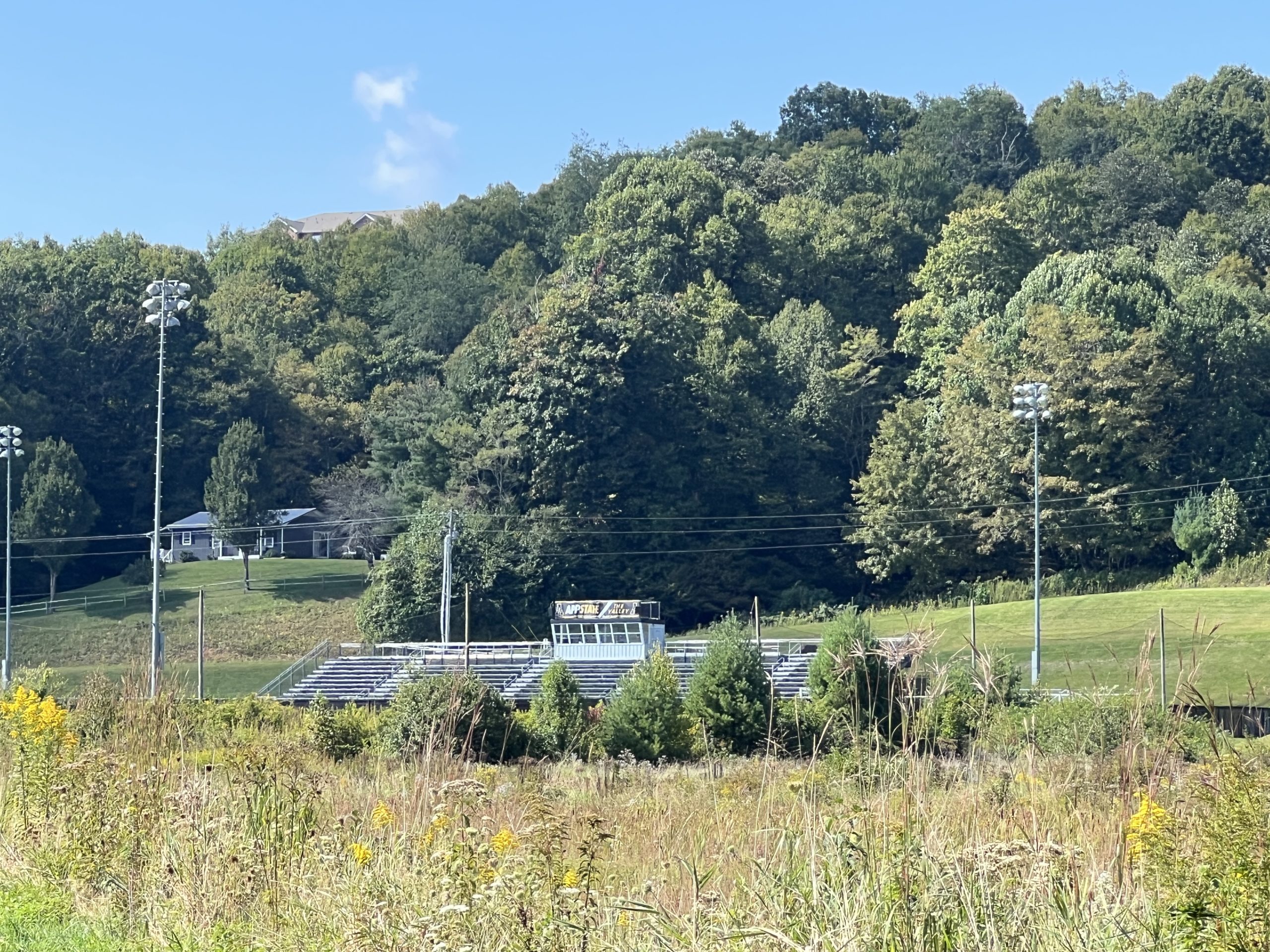
Our walk along the trail was quiet and reflective. We did see a few people, but mostly we were alone among the wildflowers and butterflies. Please remember to Leave No Trace and leave the wildflowers as they are, that way everyone can enjoy them! The trail wound around, following a river that we could hear babbling most of the hike. The trail was flat and easy to walk on. It is very obvious when you get to the end of the trail, then you turn around and walk back. The whole thing took us about 2 miles. 1 mile out and 1 mile back. On the way back we could hear the sounds of soccer practice coming from Ted Mackorell Soccer Complex, where the Appalachian FC play. As you are reapproaching the loop, you can either go back the way you came, which is flat and handicapped accessible, or you can go to the right. The right has a steep incline and takes you to the parking lot level. However, many trees have grown roots that have pushed up the pavement here causing it to be difficult for wheelchairs and strollers. That is why I recommend going back the way you came.
Getting There:
From Blowing Rock, take HWY 321 into Boone and turn right onto Deerfield Rd. Take Deerfield Rd. for about a mile then turn left onto Wilson Ridge Rd. Continue about 1 mile then turn left onto Bamboo Rd. Continue on Bamboo Rd. for 1 mile then turn left at the light for US-221 S/ US-421 N. Go 450 ft. then take a right onto Brookshire Rd. Then Brookshire Park will be on your right.
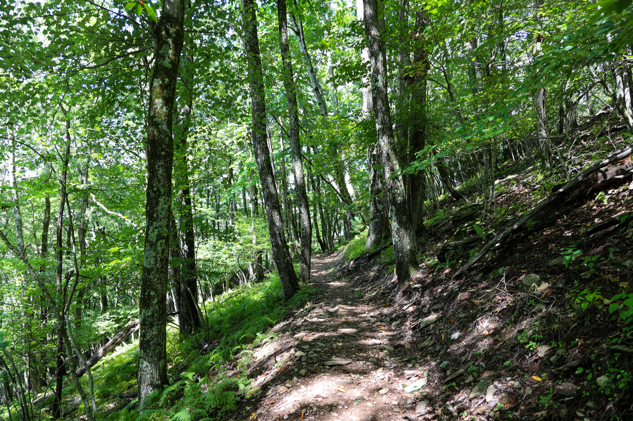
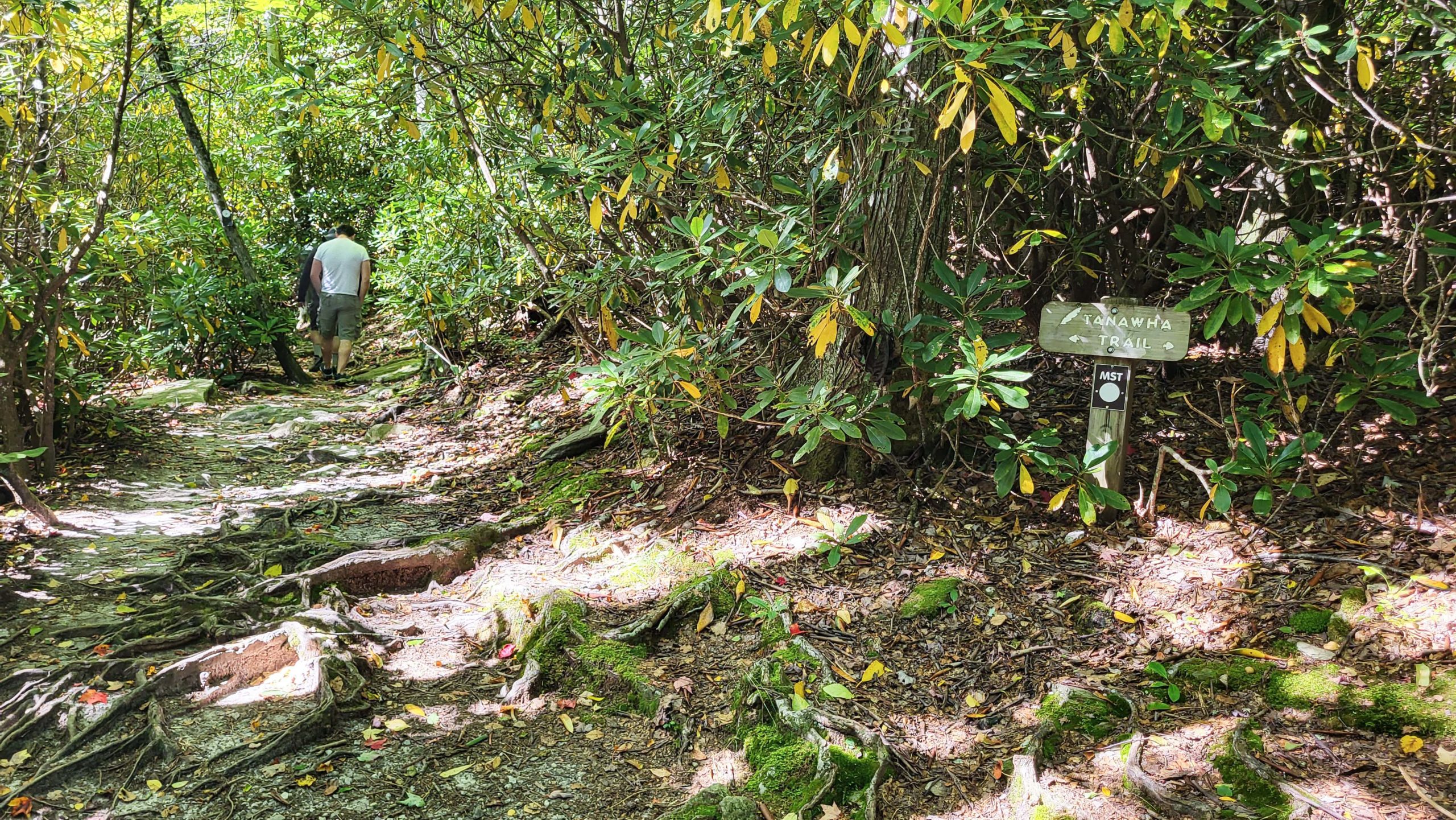
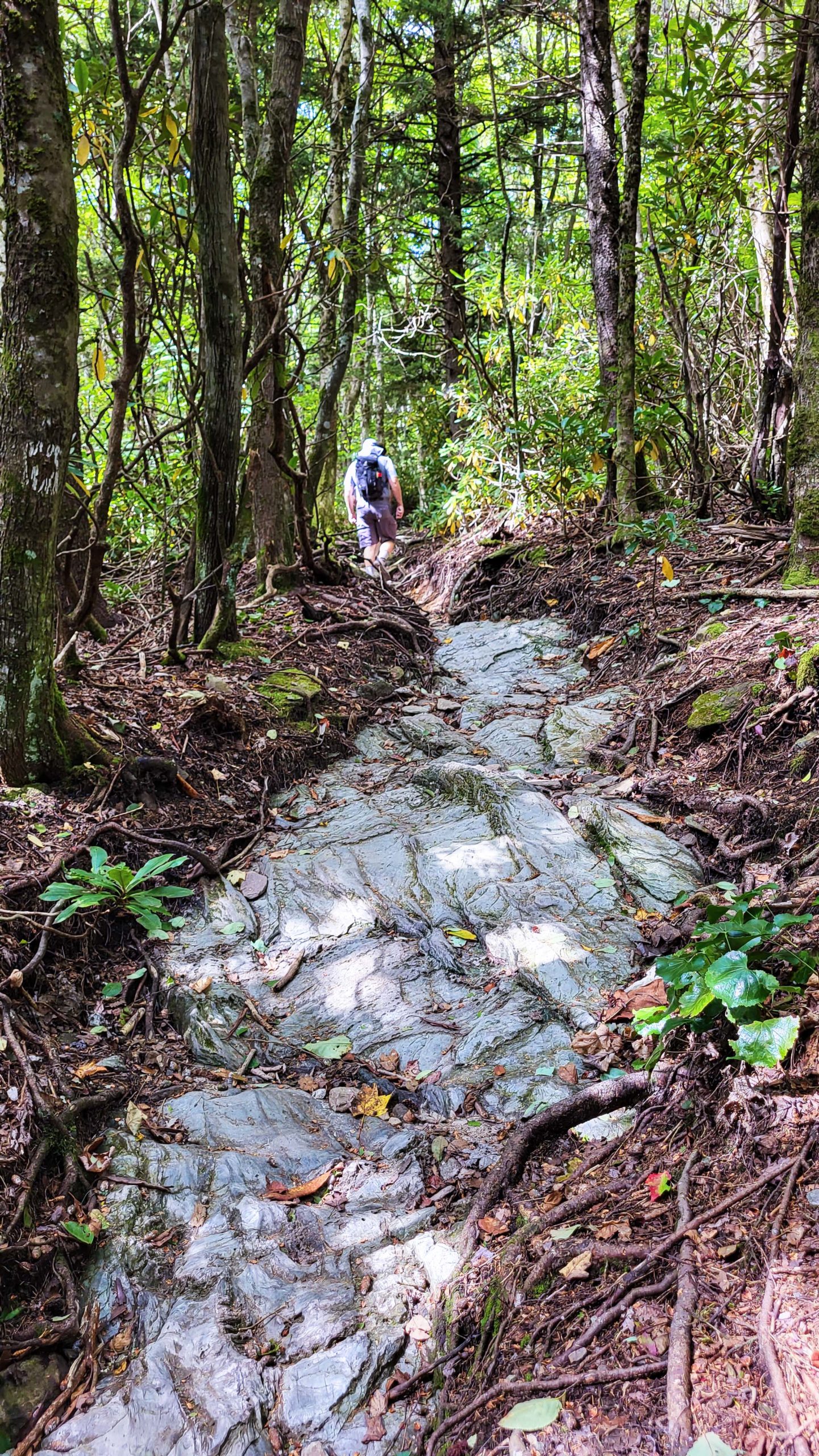
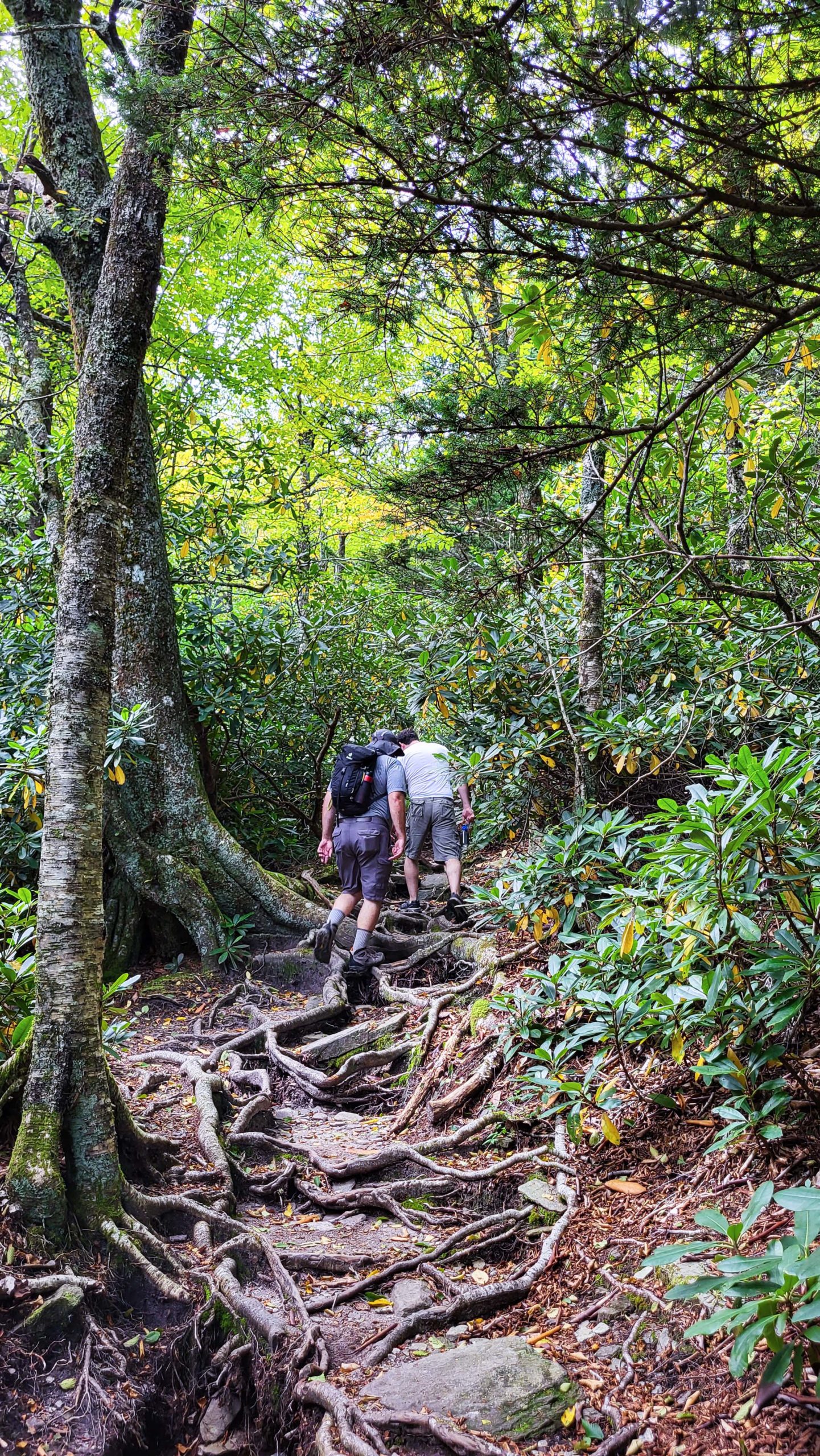
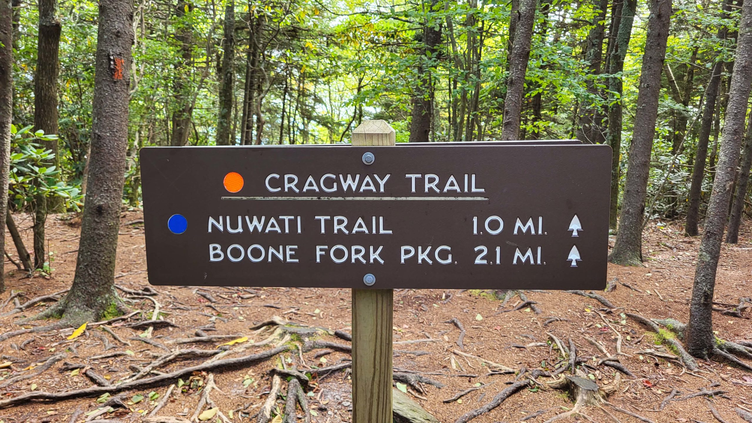
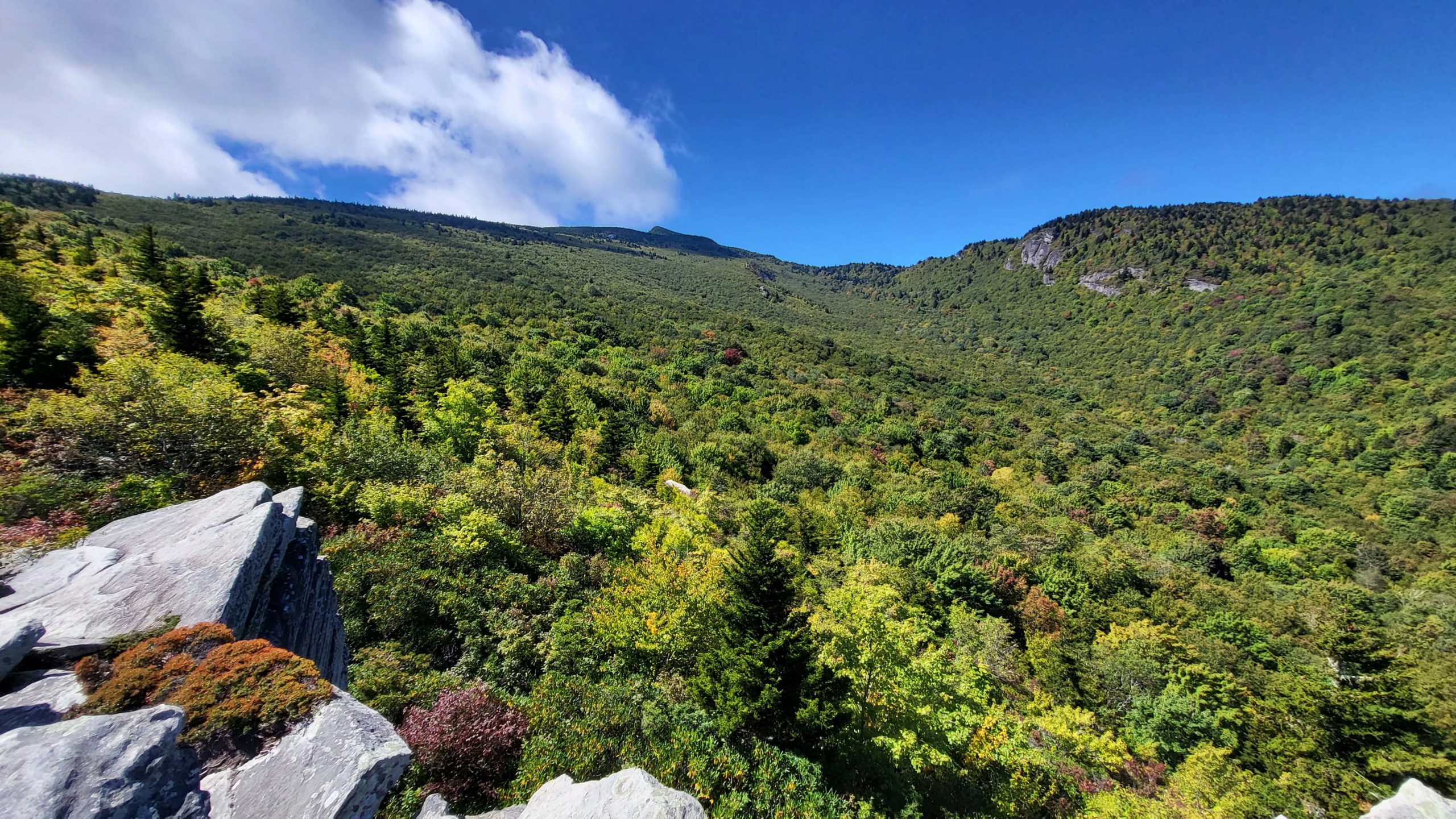
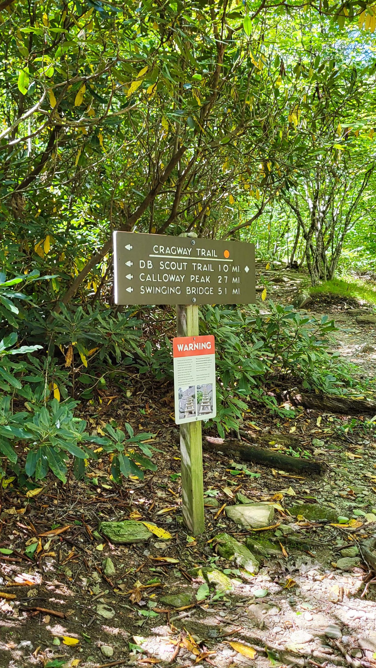
Cragway Trail- Loop Route
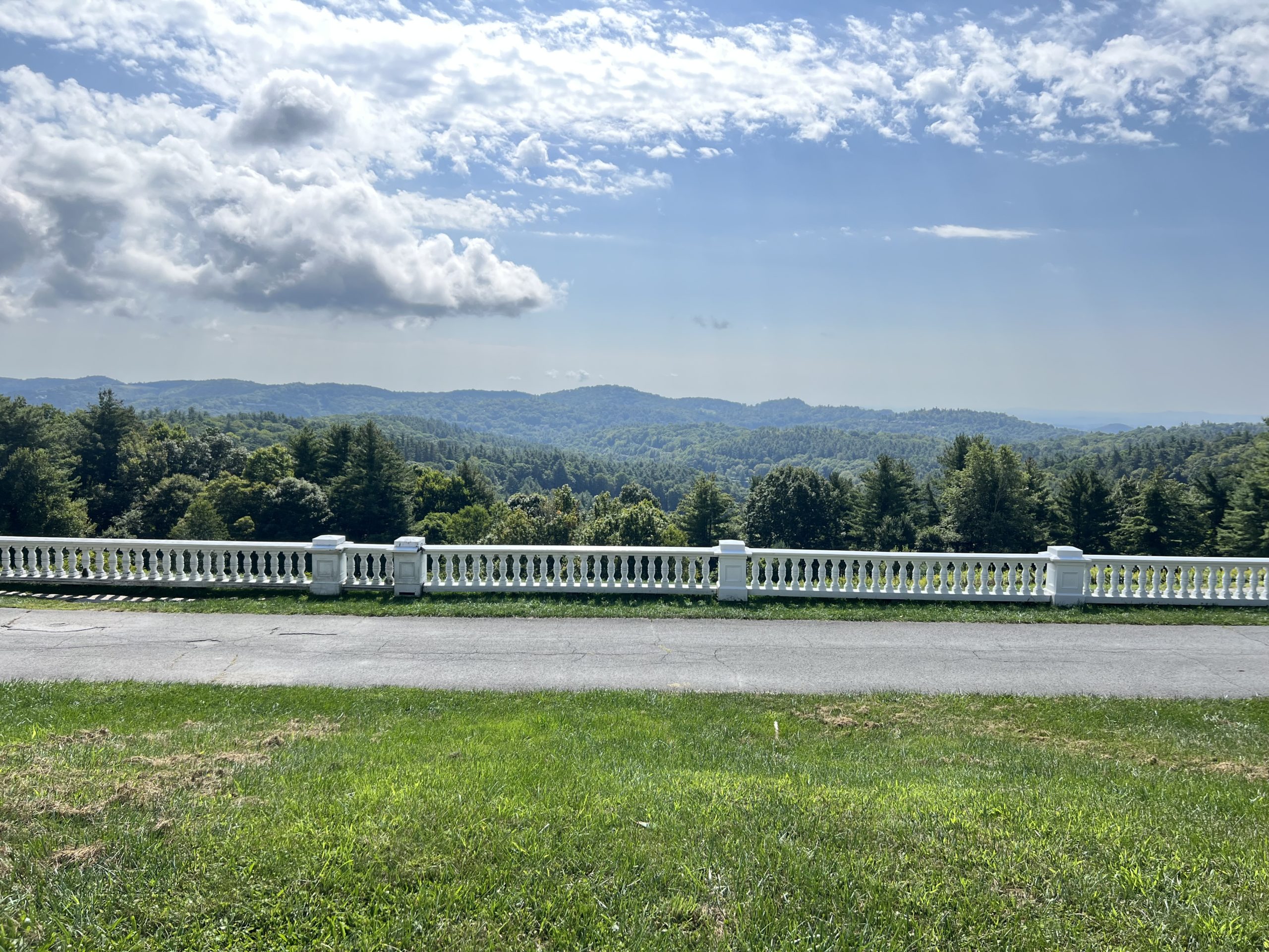
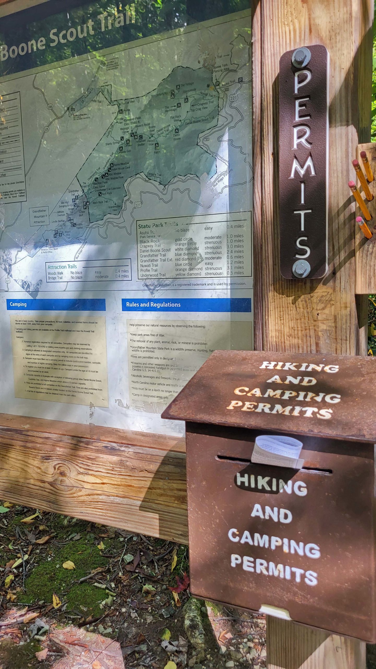
If you are up for a challenging hike, the effort is rewarded on the backcountry trails in Grandfather Mountain State Park. These trails follow paths through lush forests and rugged terrain to quiet coves and sweeping views. Cragway Trail connects two other trails in the Park- Daniel Boone Scout Trail and Nuwati Trail- creating a simple loop with Tanawha Trail to explore the southeast slopes of the mountain. Plan ahead for this strenuous hike: bring plenty of water. Those hiking these backcountry trails are also advised to carry some food, first-aid supplies, a flashlight, phone, and trail map. See a trail map here!
Trail Length: 3.5 miles as a loop
Difficulty: Strenuous
Surface: mostly rocky and root-filled dirt trail
Trail Use: hiking, leashed pets ok
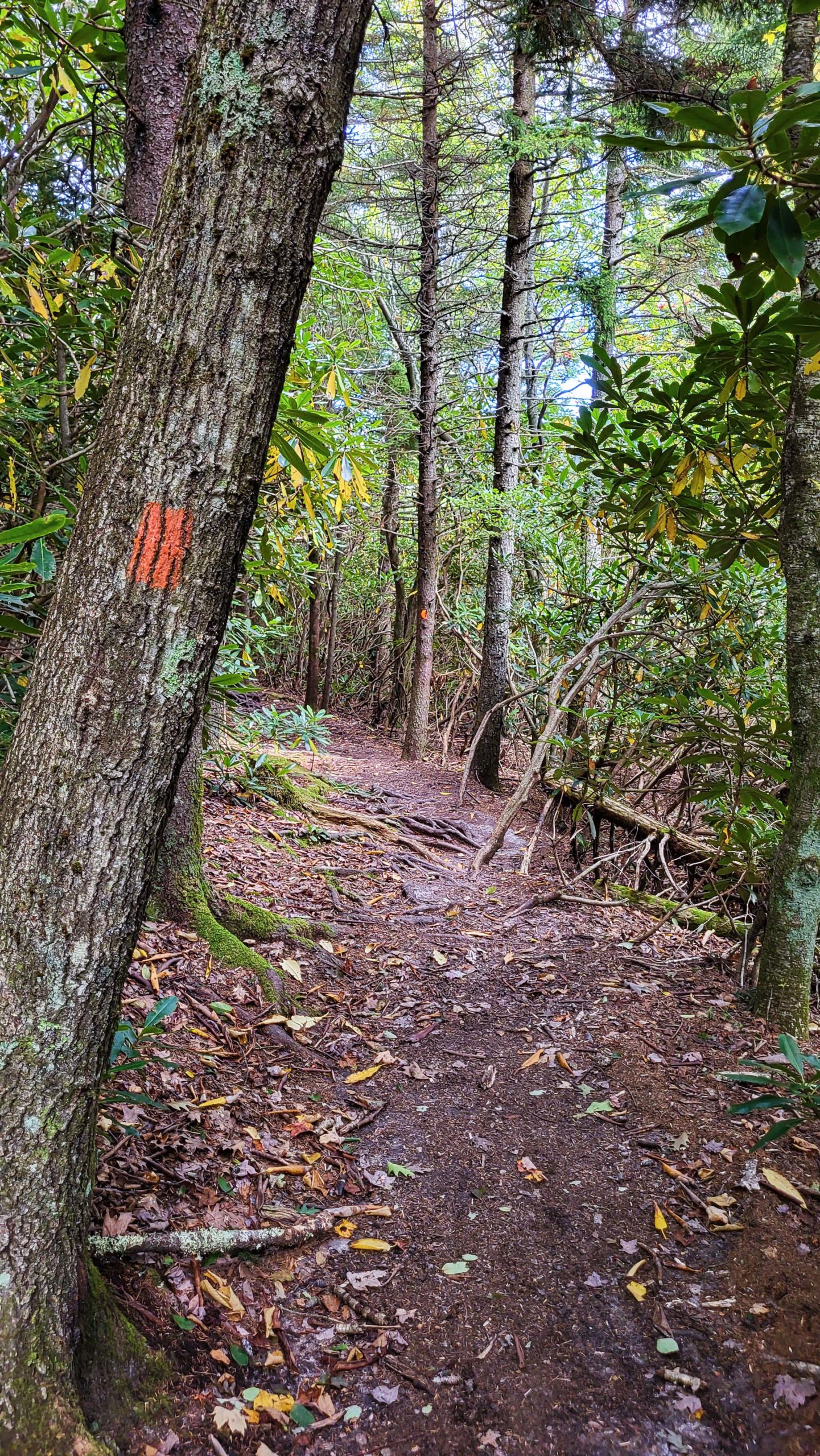
Blaze: multiple trails: white feather, white diamond, orange blaze, blue blaze
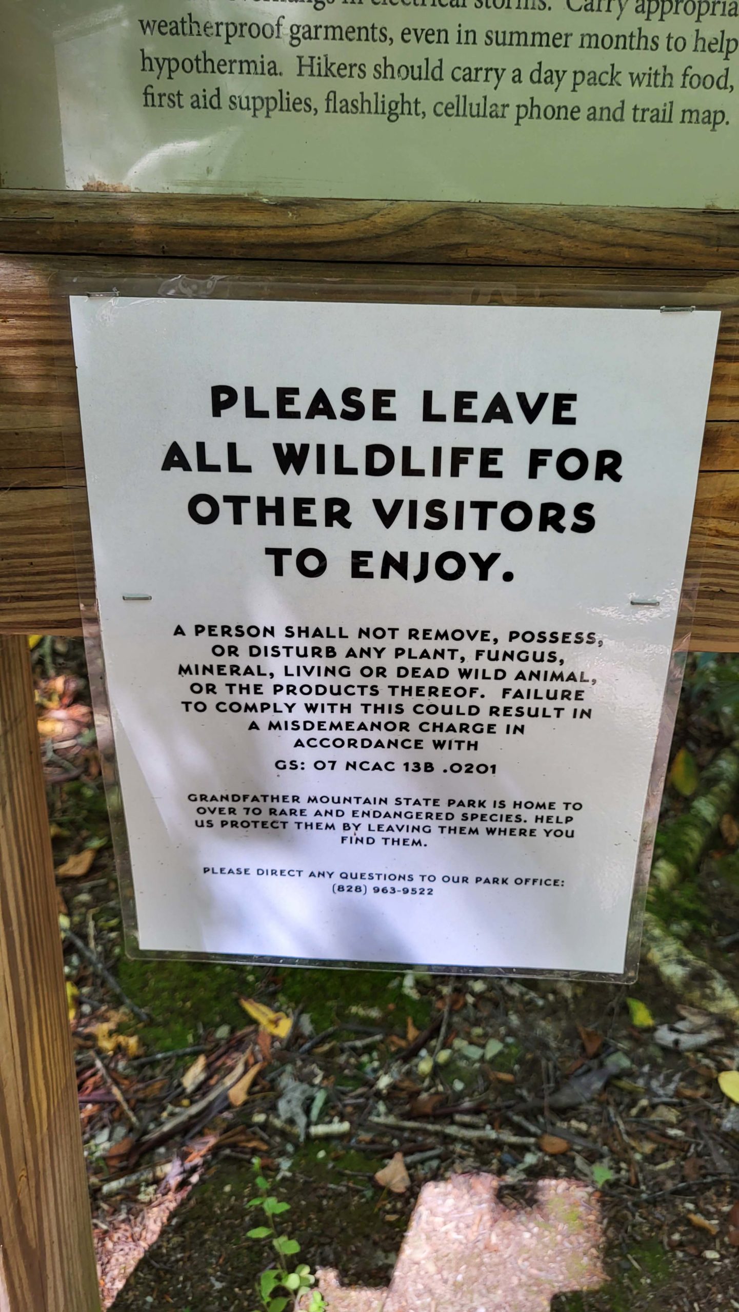
Please also note that hikers need to self-register before accessing backcountry trails in Grandfather Mountain State Park. Kiosks at trailheads provide the short forms, which are filled out by hand and left in the locked box. Registration is simple. Hikers (as an individual or for their group) provide their name, contact info, intended route and start time, as well as the license plate of the vehicle they arrived in. This information is invaluable in the case of an emergency on the rugged trails- don’t skip registering! Announcements and extra trail details are also posted at kiosks so be sure to note the information.
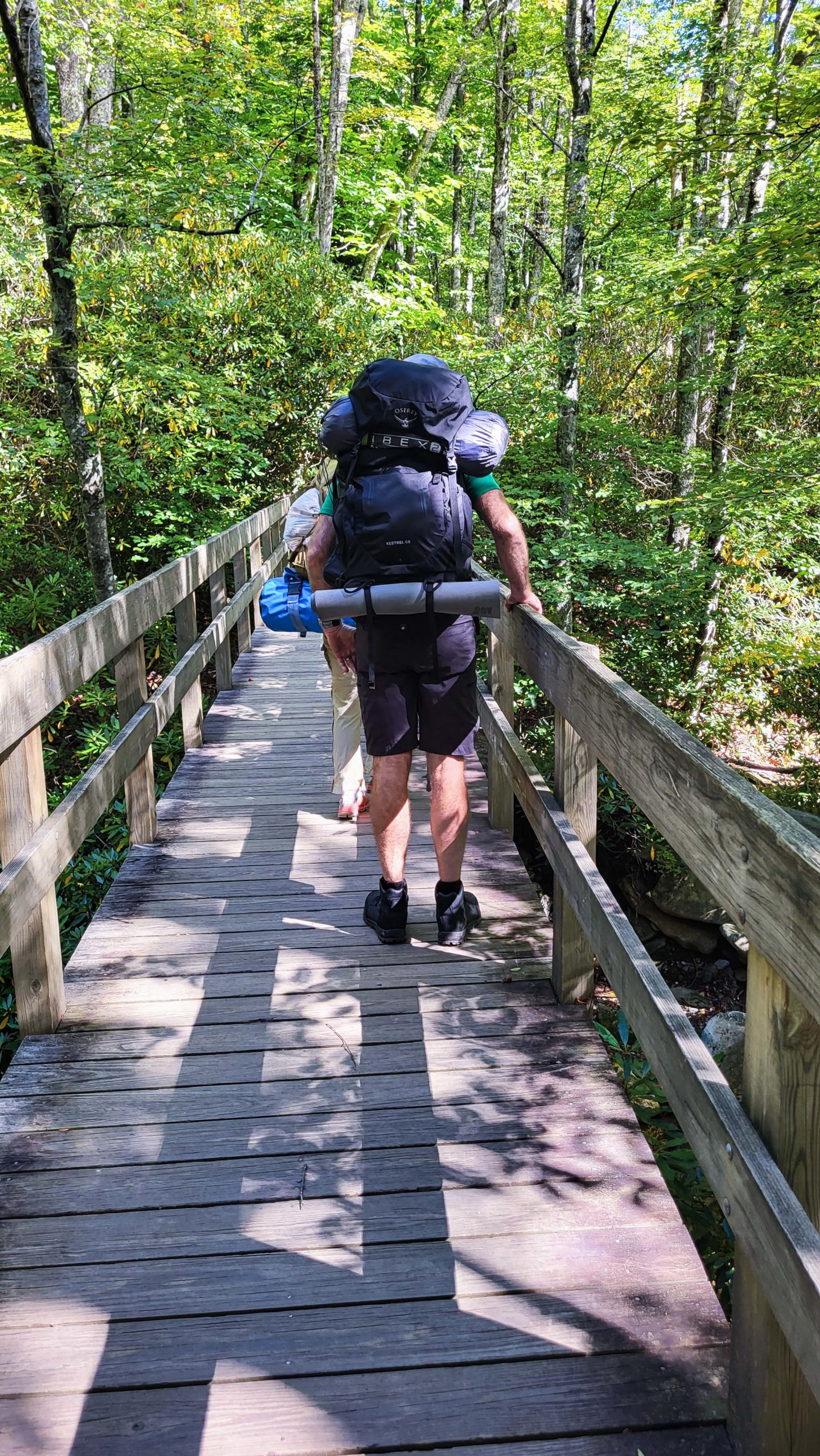
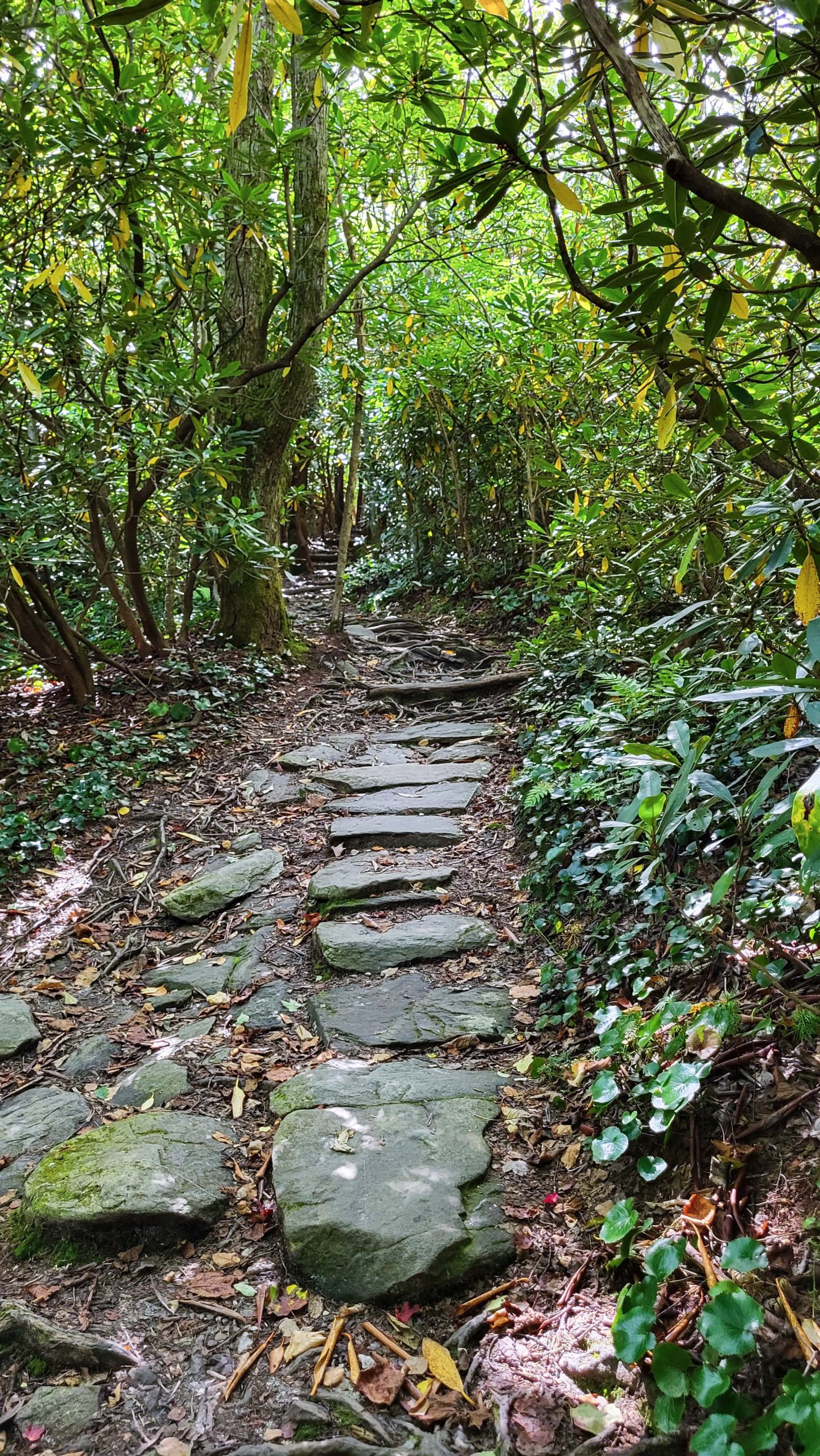
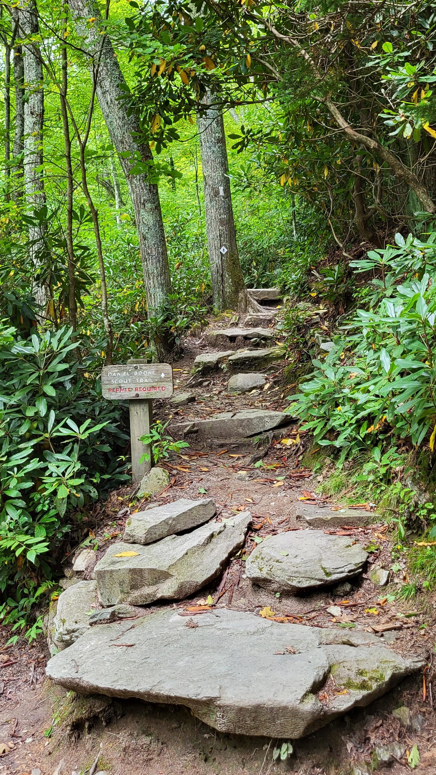
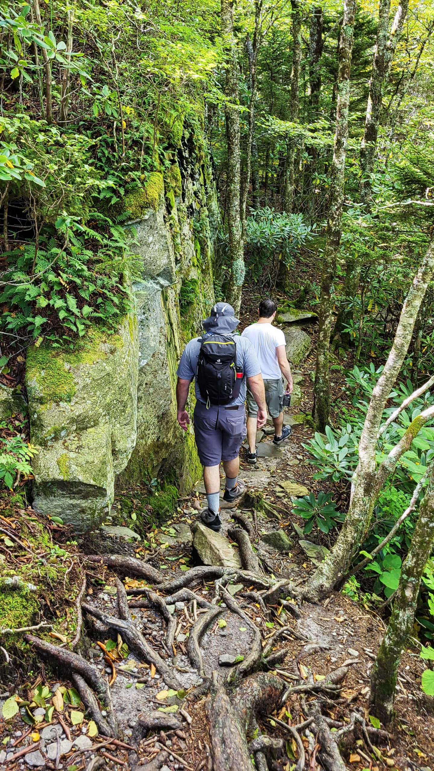
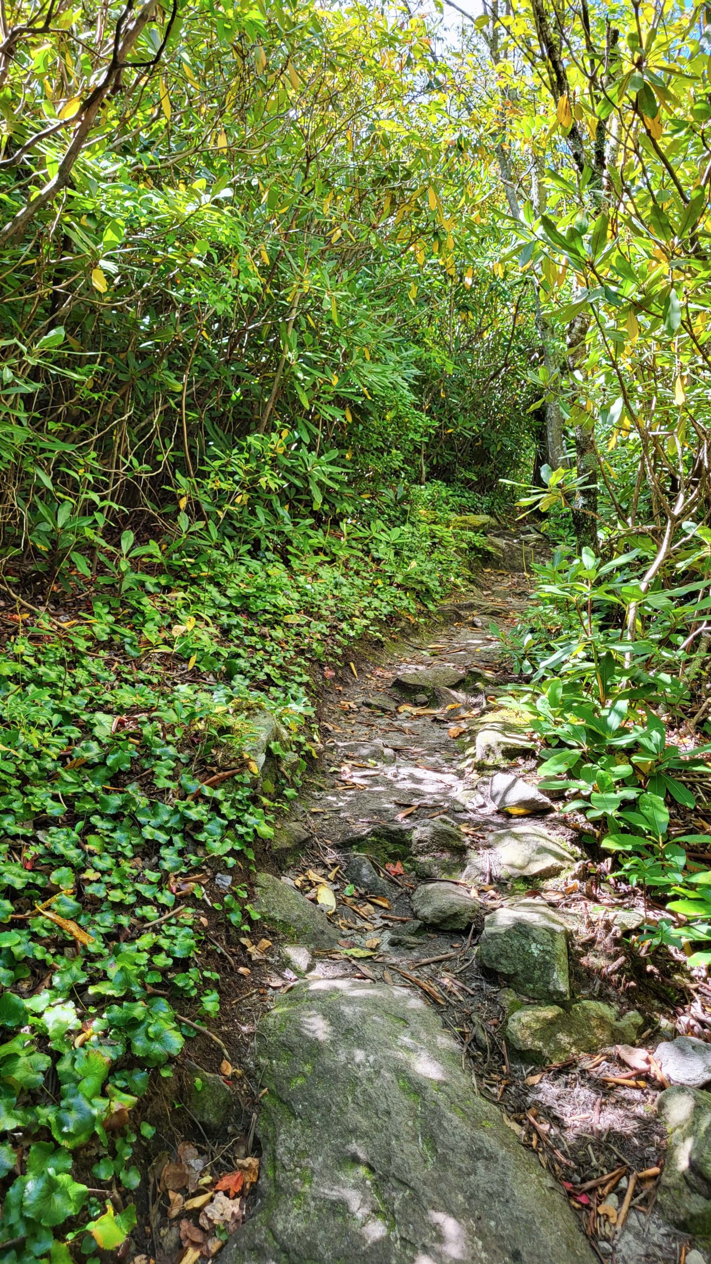
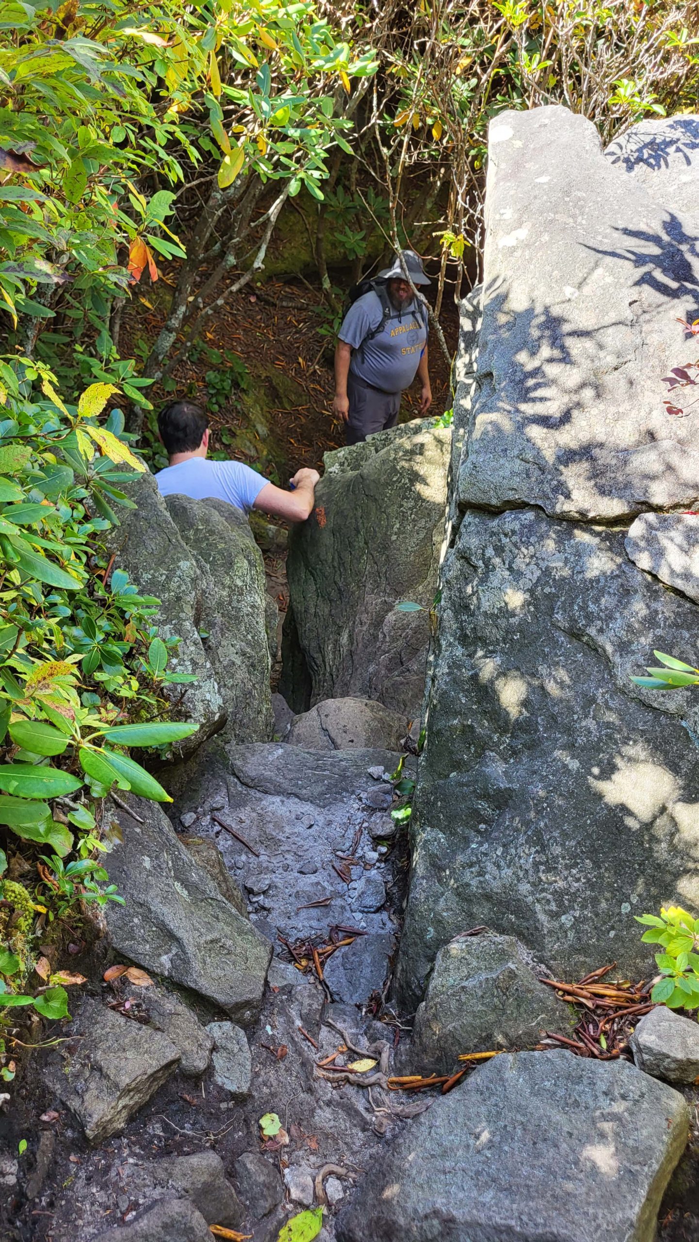
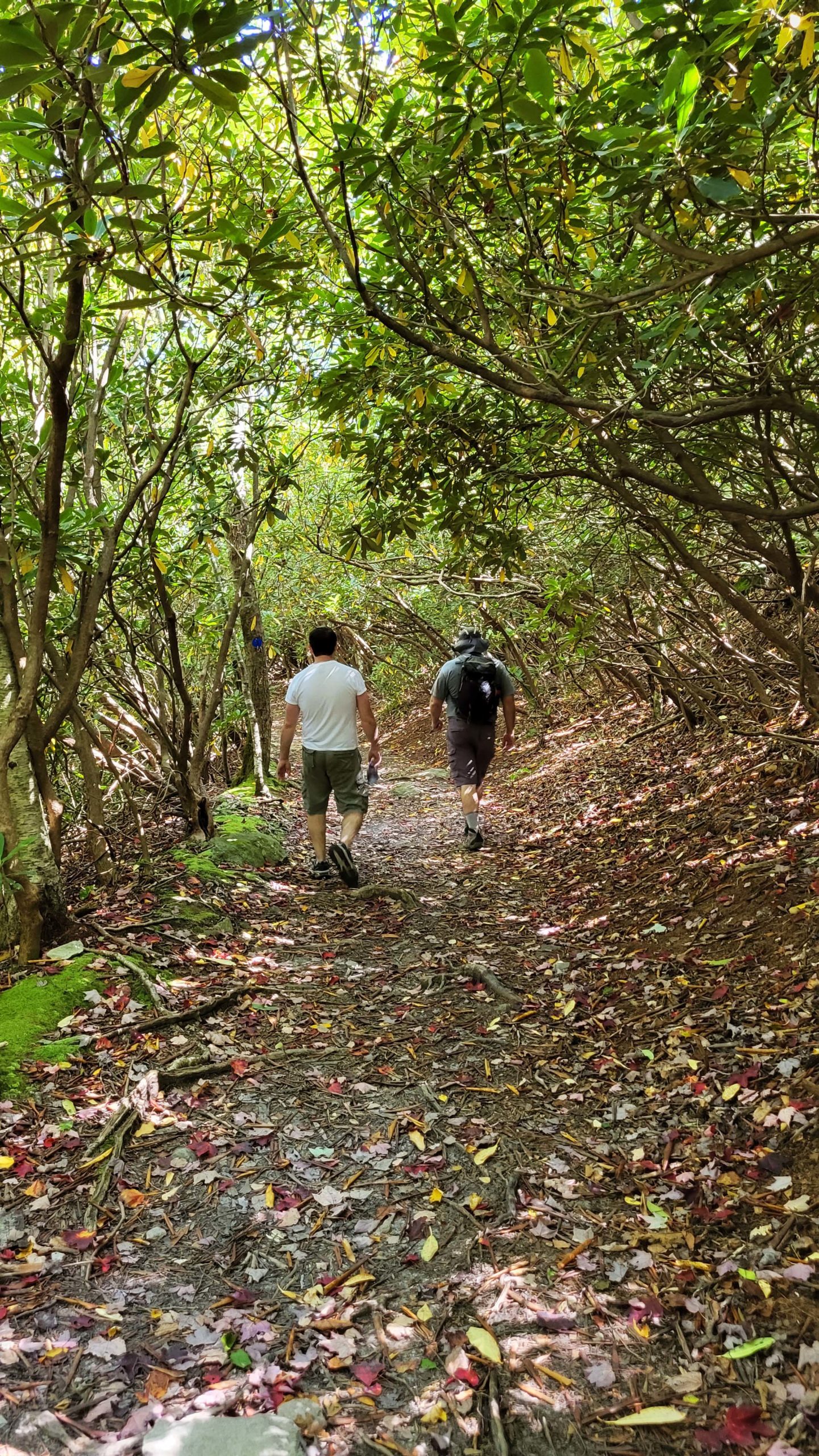
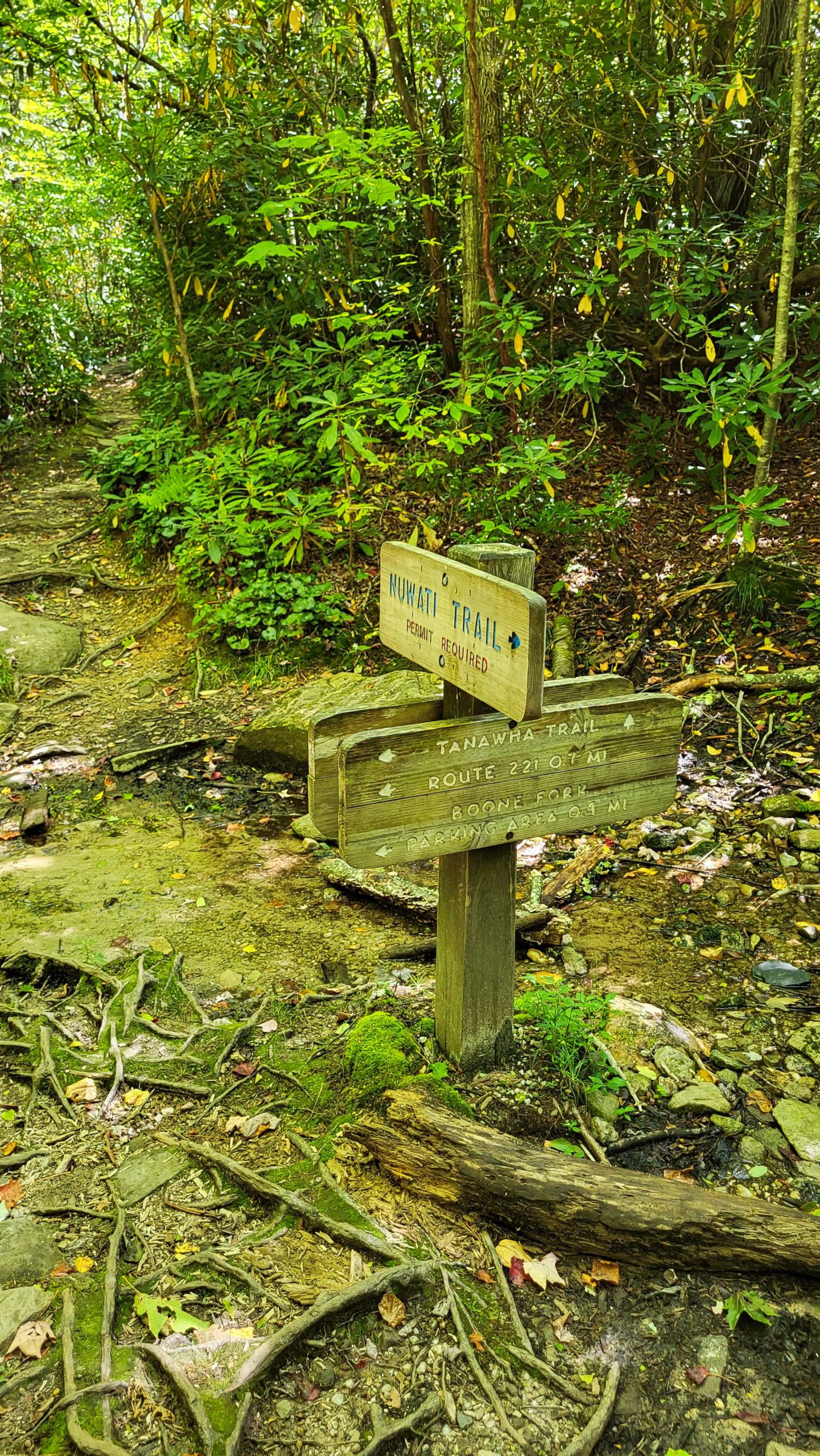
From the Boone Fork Overlook on the Blue Ridge Parkway, the path to the backcountry trailheads is relatively easy. A short connector trail provides access to Tanawha Trail, which we followed past a couple of minor junctions before crossing the footbridge and arriving at the hiker/camper registration kiosk. From there, the hike is another 0.4 miles or so past the Nuwati Trail junction to the start of Daniel Boone Scout Trail on the right. It’s marked by a white diamond or blaze. The steep steps at the trailhead set the expectation for this trail- it climbs steadily to the top of Grandfather Mountain! The bottom half of the trail is the easier portion, a moderately strenuous hike over rocky inclines and through pine forest and thickets. Gnarled and winding pine roots are a consistent feature on the trail so the footing can be tricky at times. The trail opens up at the Daniel Boone Campsite after 1.3 miles. The site is blanketed in pine needles and multiple signs indicate trails and distances. This spot is also the junction of Cragway Trail, marked with an orange blaze.
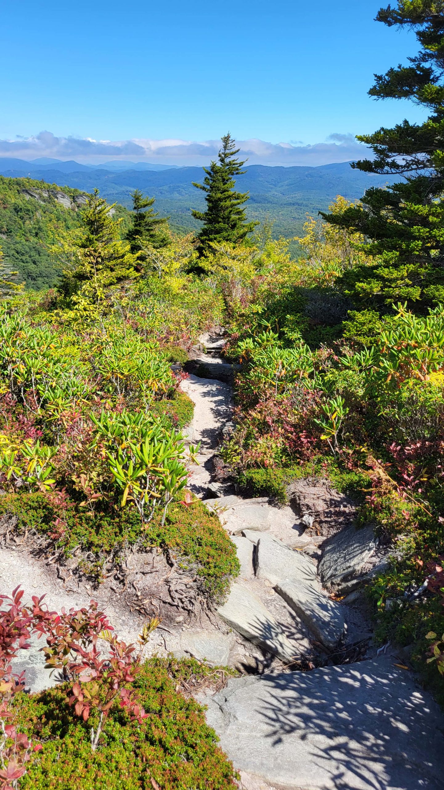
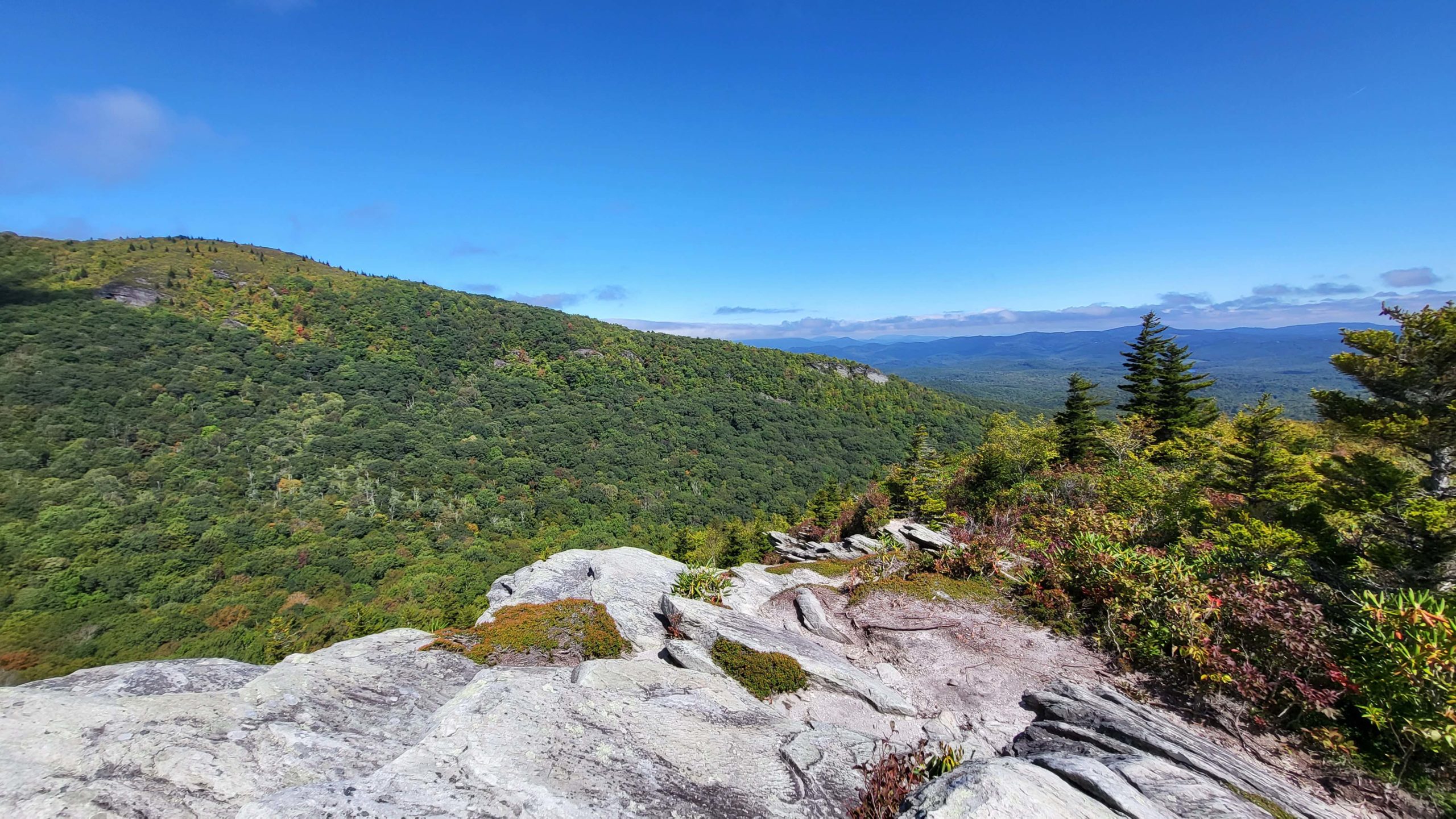
Cragway Trail is aptly named, a strenuous path that rises and drops over craggy boulders and rocks. On our late September hike, the wild blueberry bushes were starting to show vibrant red foliage. Top Crag View is found about halfway along the 1 mile trail, opening up to a wide vista of the Boone Fork Bowl. To the northeast, the view stretches over layers of blue ridges. From there, the journey is a steep path downhill to the junction of Nuwati Trail. We turned right to head back to Tanawha Trail. Nuwati is markedly different from the rest of this loop. The 0.6 miles back to the junction with Tanawha Trail is mostly flat and wide, making a great cool-down section. The loop closes at the next junction and a left turn took us back along Tanawha Trail to return to the parking area.
Getting There:
Boone Fork Overlook is located at milepost 299.9 on the Blue Ridge Parkway, about 6 miles south of Blowing Rock. If the Parkway is closed, access to Tanawha Trail is available via Asutsi Trail, which begins on U.S. 221 approximately 1.6 miles south of Holloway Mountain Road.