
April weather is still cool, but tends to be more predictable than March. So for this month we are showcasing a wider variety of terrain! From a relaxing walk around Bass Lake to an incredible climb among spring blooms on Profile Trail, April is a fantastic time to see it all. Please remember to always pack plenty of water and snacks, and to do some research before you set out on your hiking experience. Read along below, and see what we’ve been up to in April.
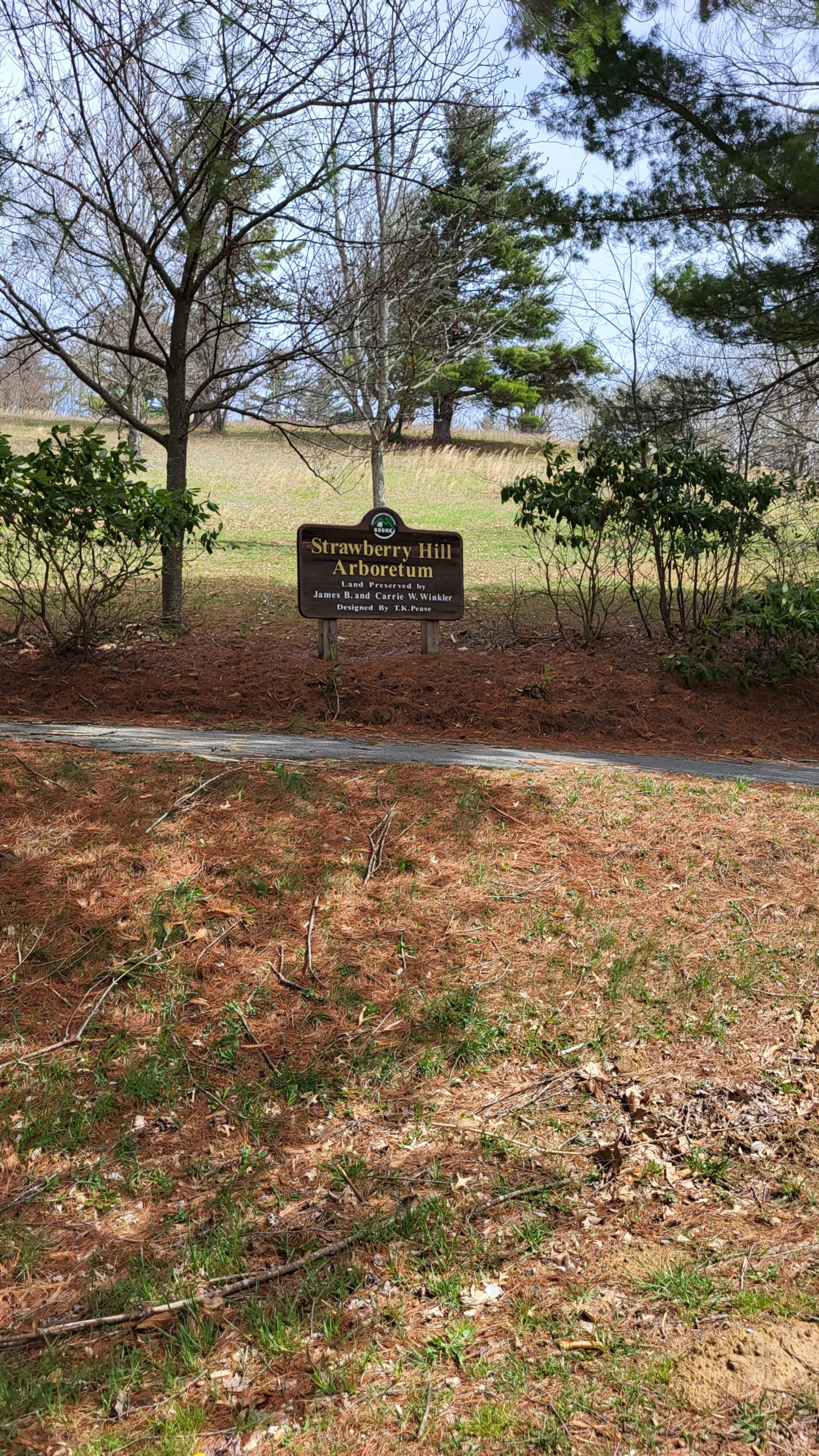
Strawberry Hill Arboretum
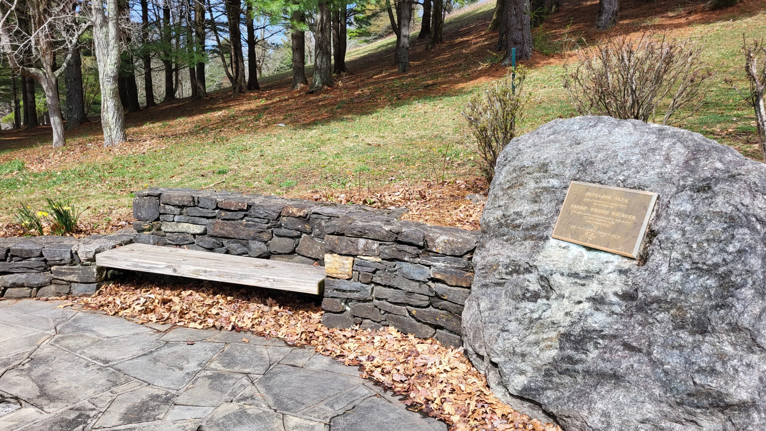
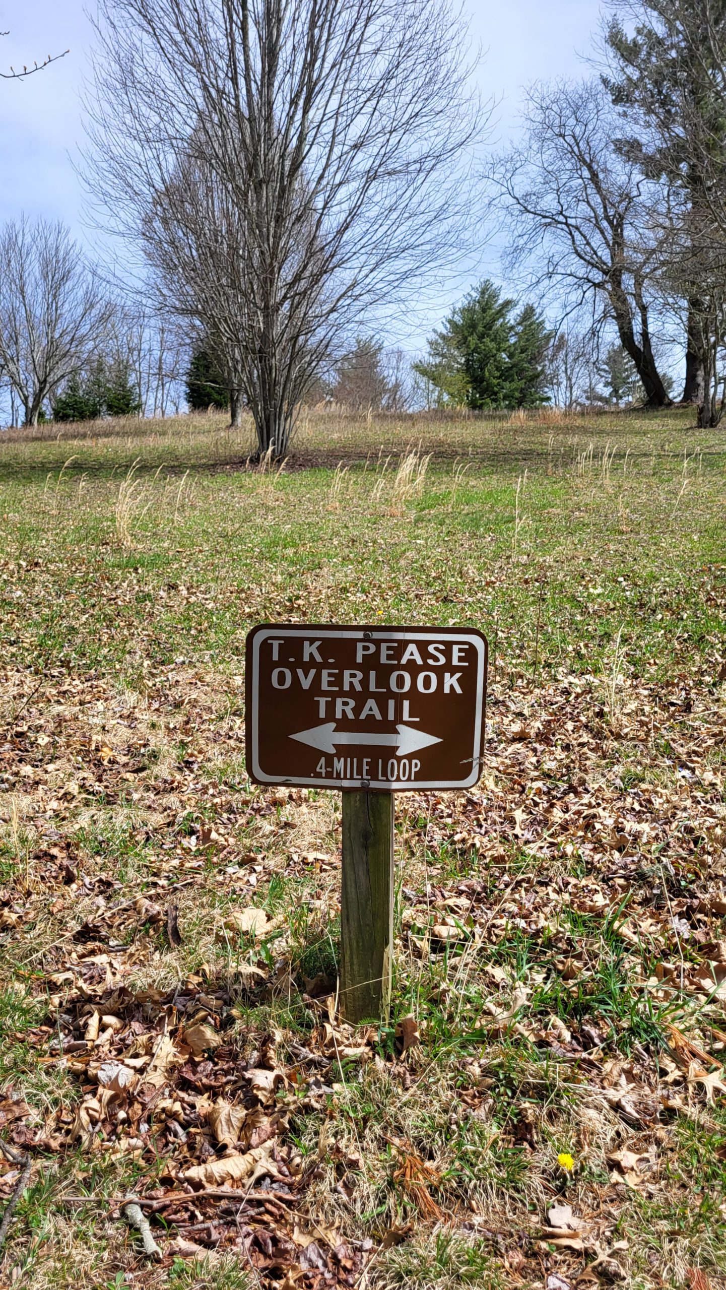
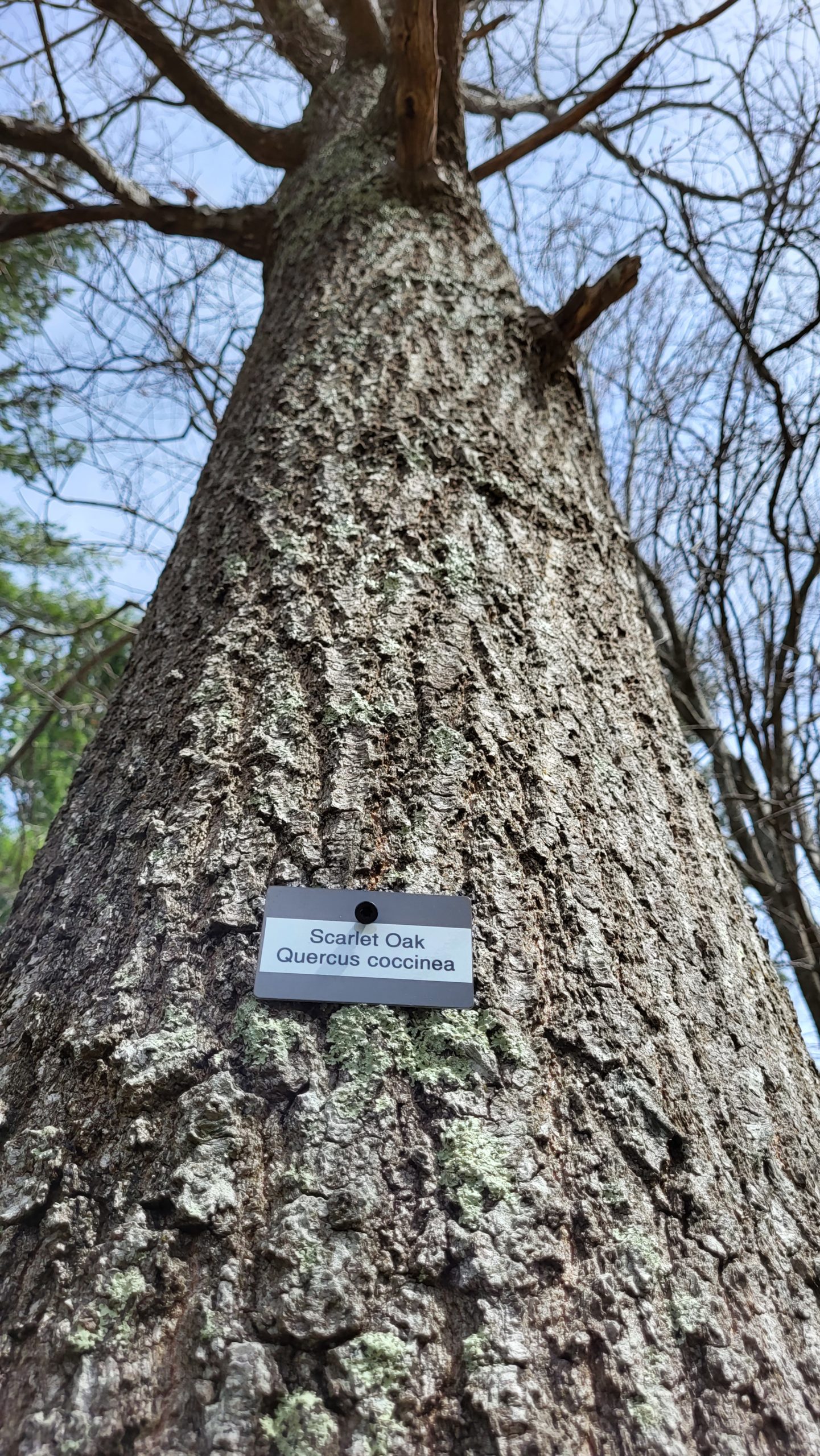
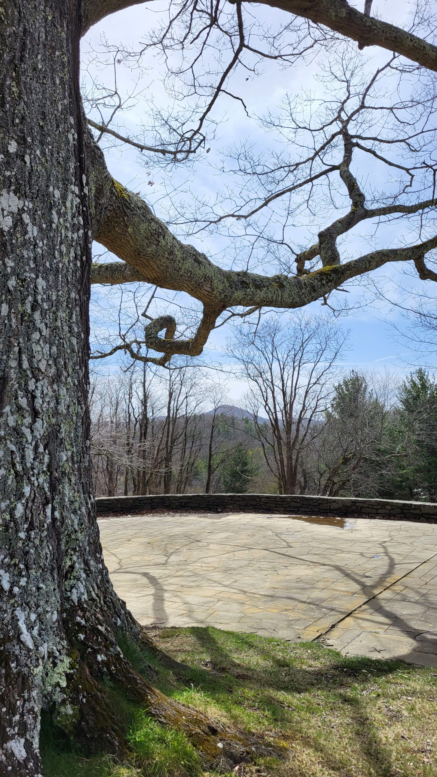
The T.K. Pease Overlook Trail meanders through the Strawberry Hill Arboretum. This trail offers a walk among the trees, right in the heart of Boone. It’s a fantastic spot to enjoy a bit of nature without having to prepare for a longer hike. It’s located right next to the Watauga Farmers Market, and we enjoyed the trail after visiting the first market of the season. At just 0.4 miles, this trail doesn’t take long to complete, though you may find yourself taking extra time to learn about the different trees or enjoy the view at the large oak in the center. Each specimen is marked and there’s also printable and interactive maps of the trees available on the Town of Boone website. With large expanses of green lawn, it’s a great location for picnicking, too! The trail goes up a large hill and then back down so there is some light climbing along the walk.
Trail Length: 0.4 mile
Difficulty: Easy to moderate
Surface: Grass and dirt trail
Trail Use: Walking, jogging, leashed dogs ok
Blaze: N/A
Getting There:
The Strawberry Hill Arboretum is located by the Horn in the West grounds in Boone at 321 E King St. Ample parking is available in the lot across the street from the arboretum, though it can be very busy during Farmers Market Hours or unavailable for special events.
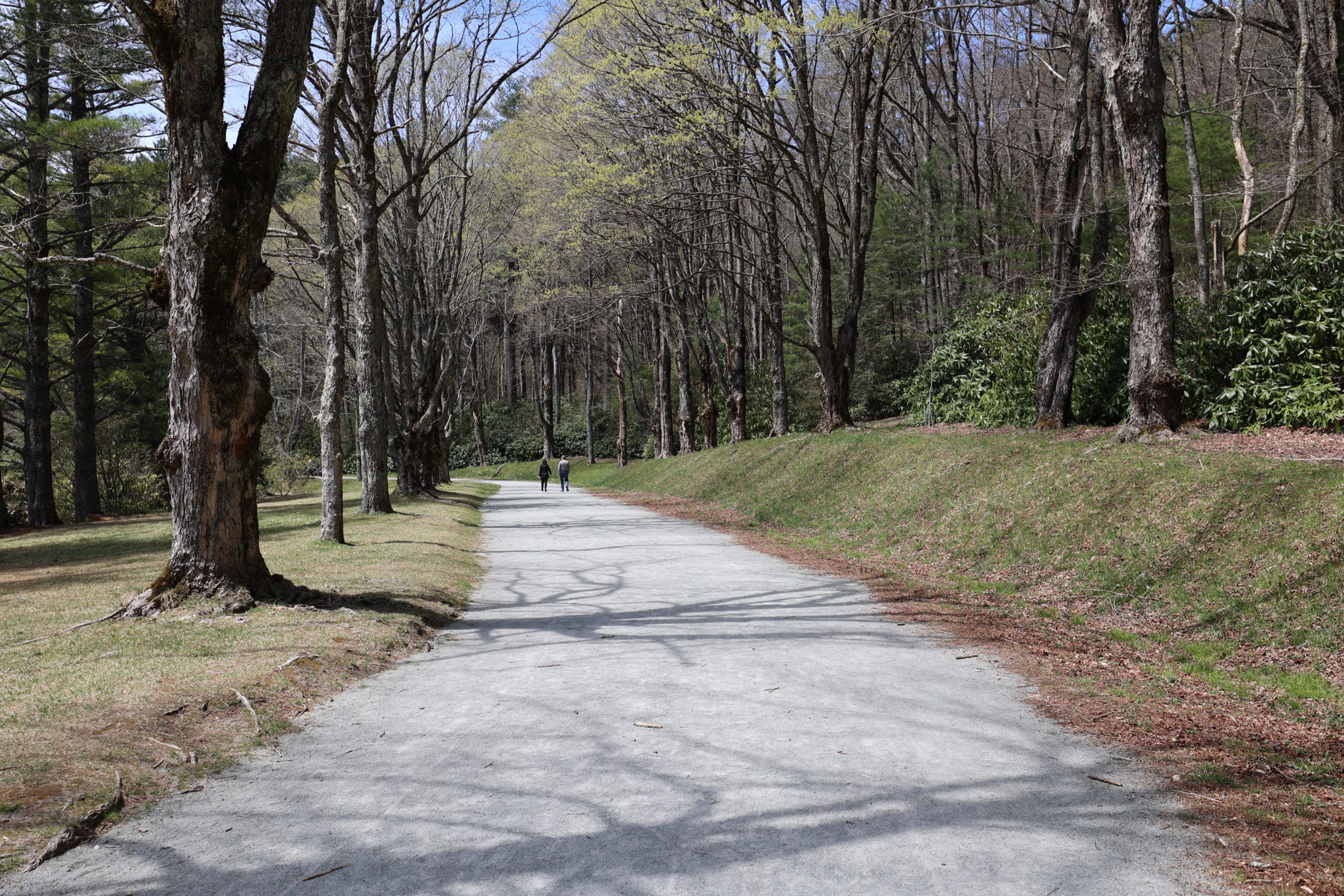
Bass Lake
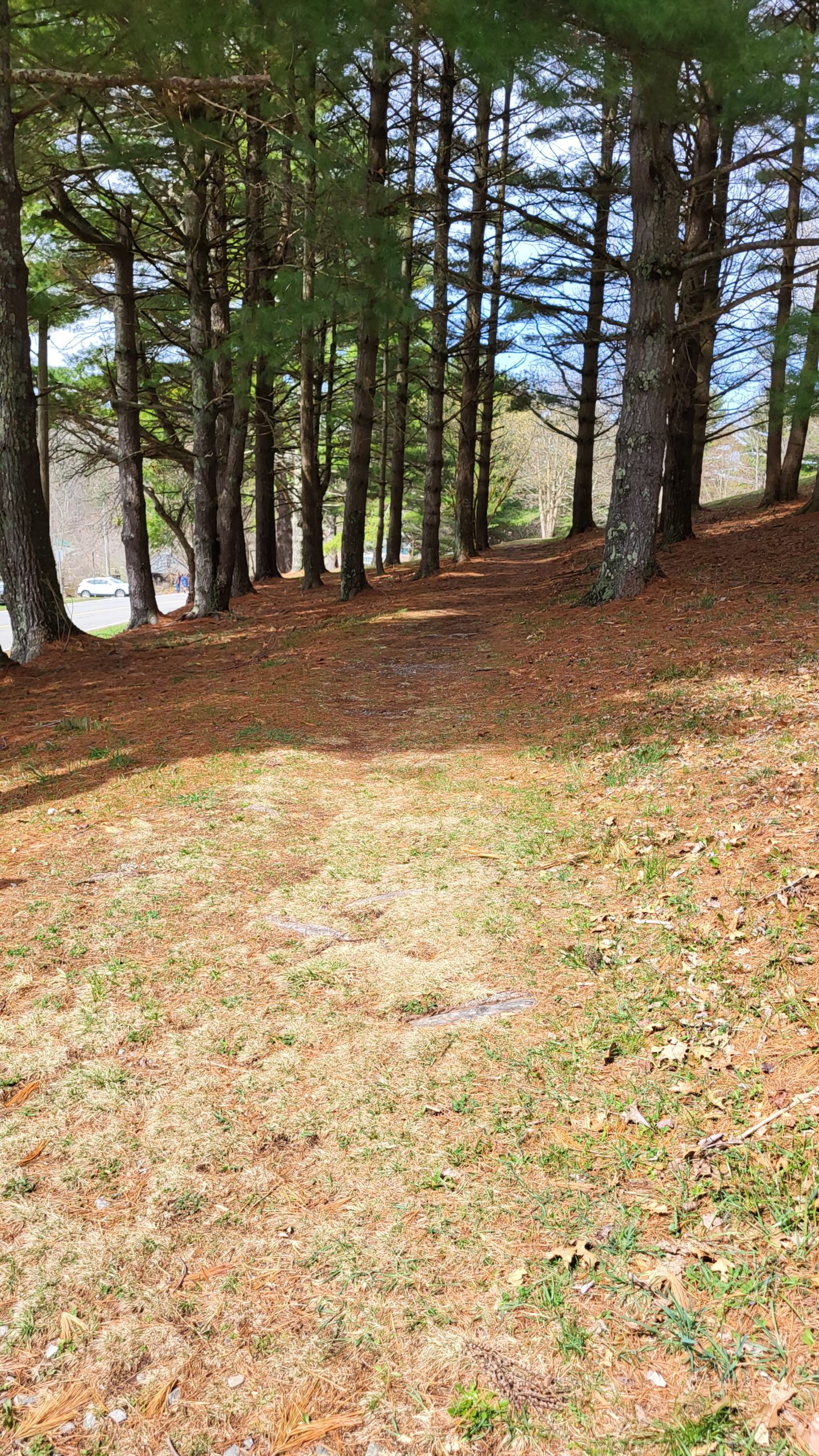
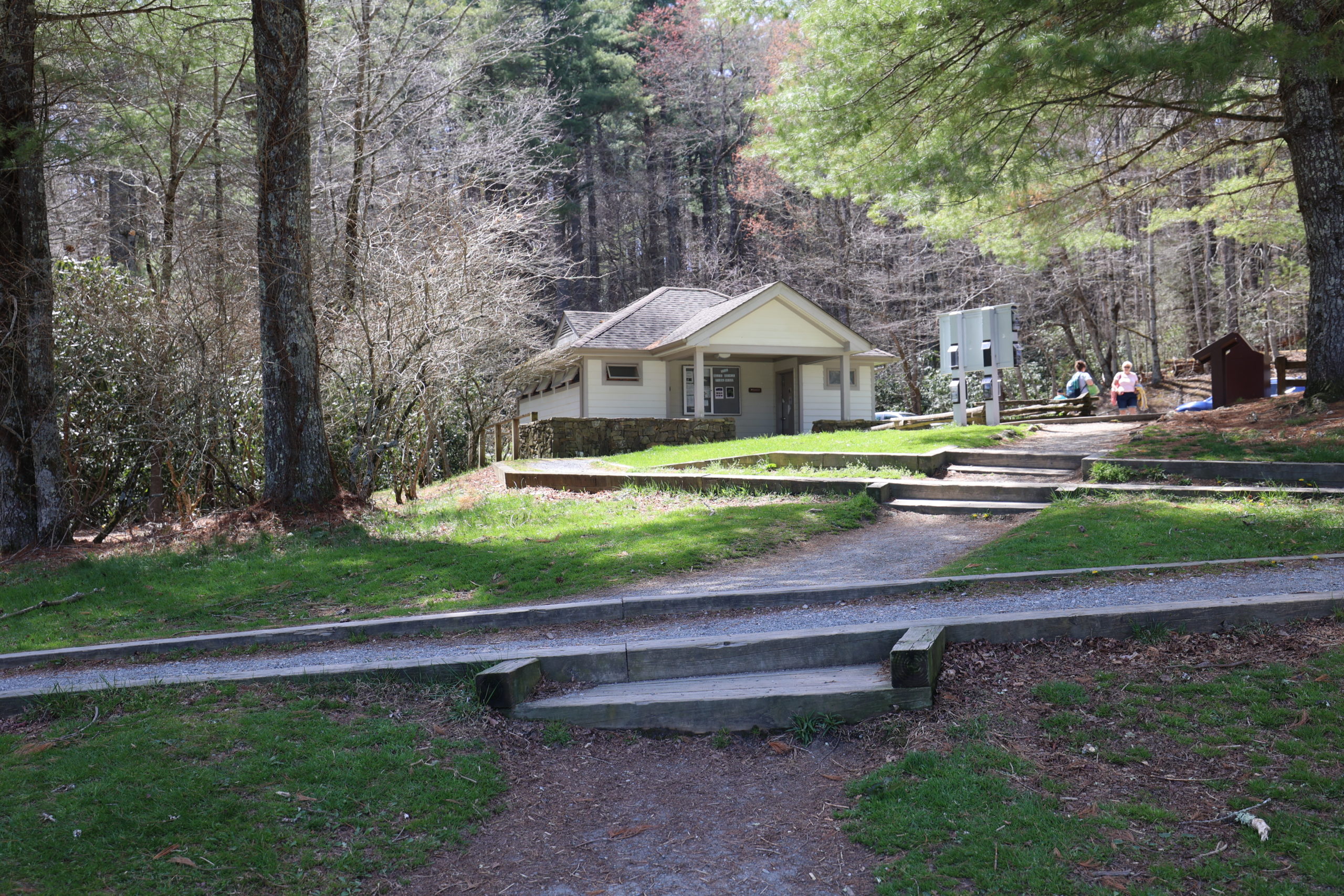
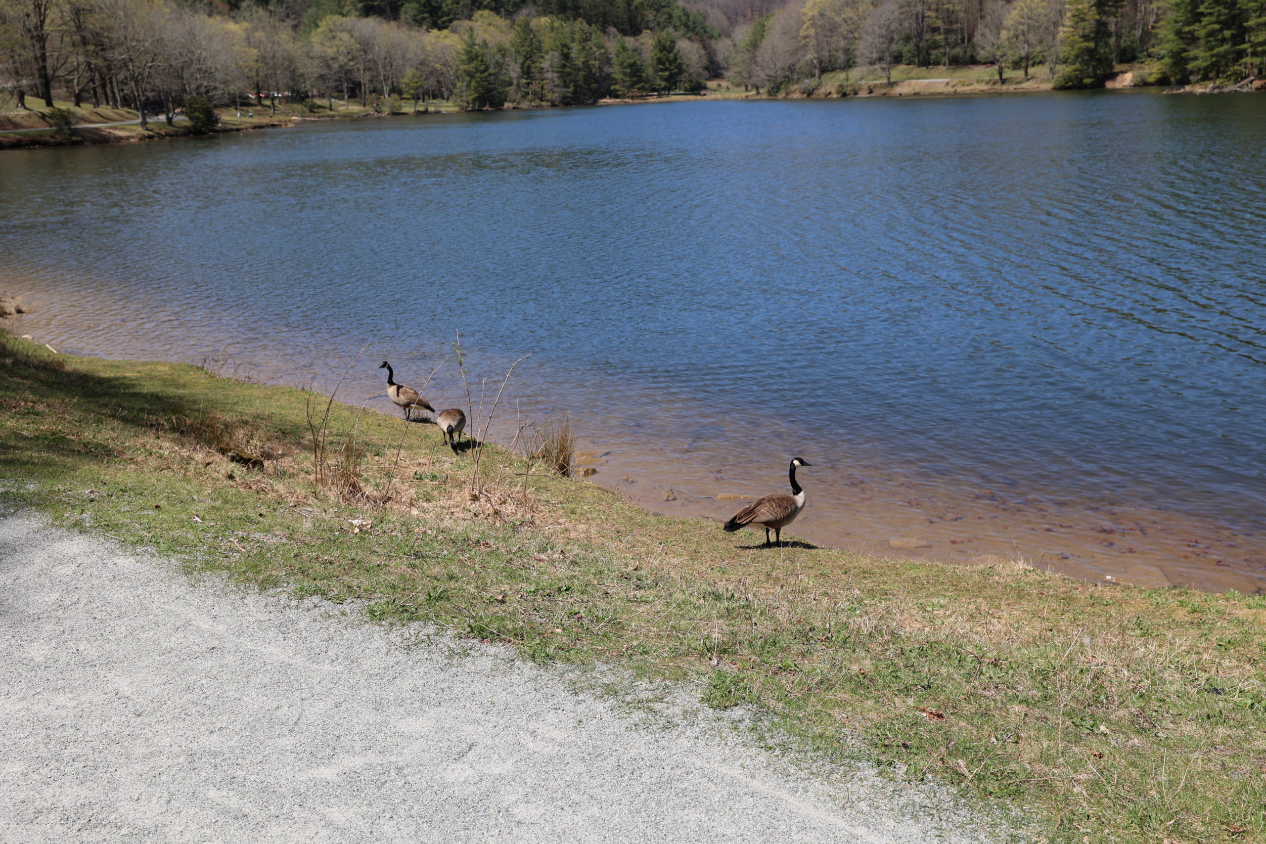
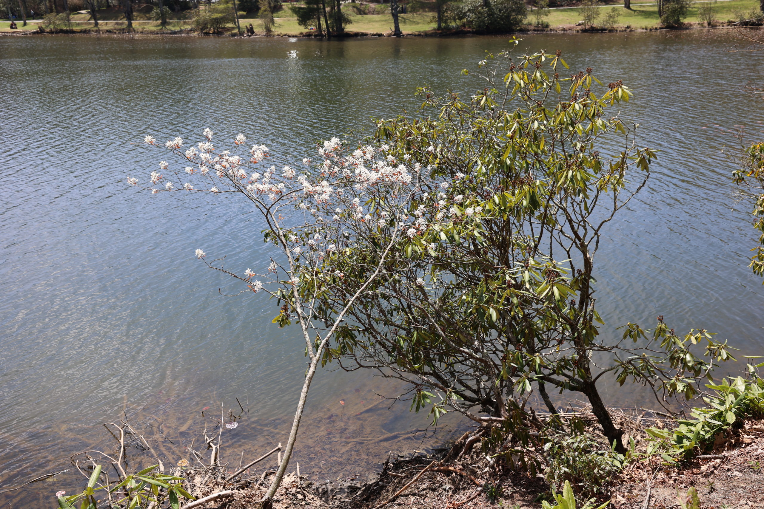
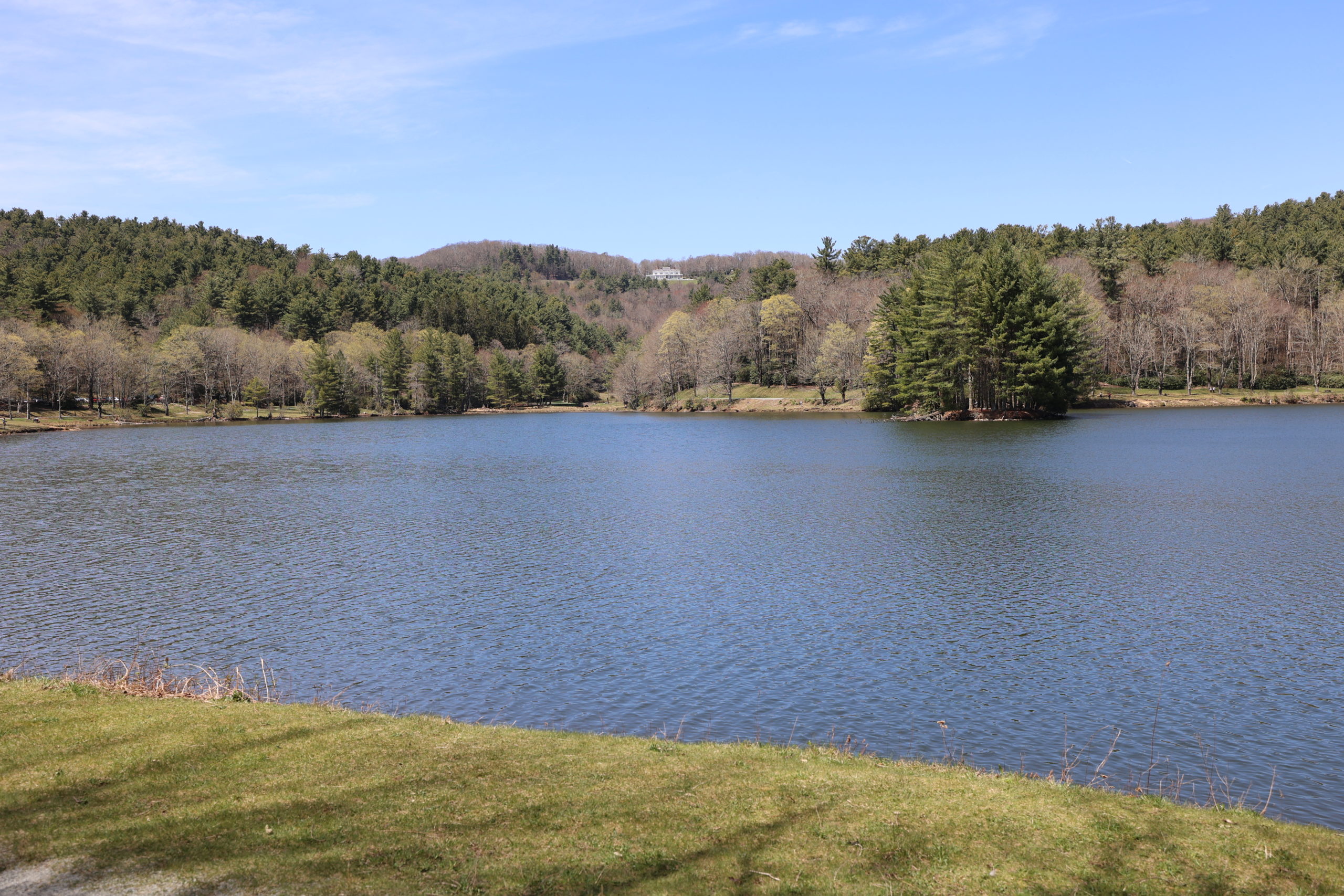
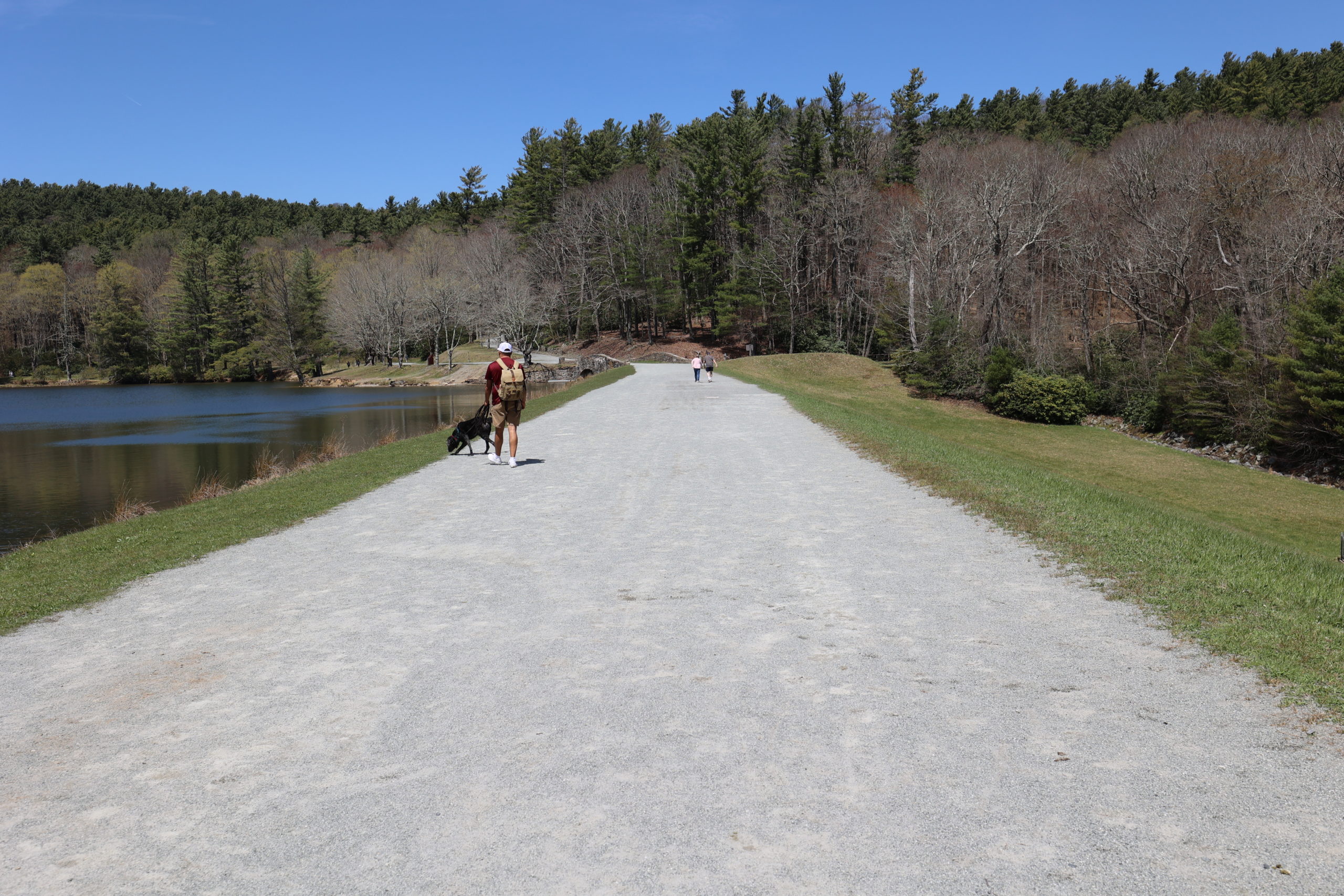
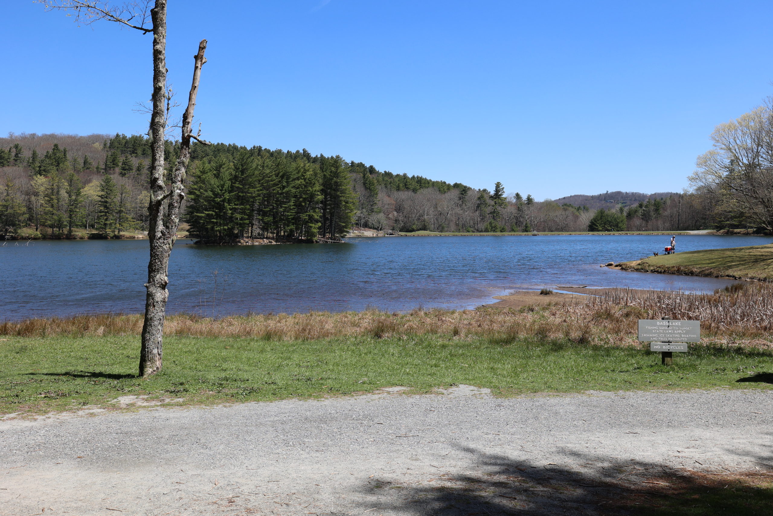
Bass Lake is unique because it is an accessible trail. It is suitable for strollers and wheelchairs, though pneumatic tires may be more comfortable on the gravel. A ramp leads from the parking lot to the loop around the lake, and accessible bathrooms are located there as well. The loop around the lake offers beautiful views of local flora and fauna. Grass and a small orchard of trees greet visitors as they disembark the ramp. Large, older trees ring the lake. You’ll also see rhododendron, lily pads, and many other types of plants and trees. Cone Manor house can be seen from the lake on clear days. The trail is flat and easy to walk or jog. Horses are allowed on a portion of the loop as a means to get to other trails, but are not allowed to walk the whole loop. Geese, ducks, and other wildlife, call Bass Lake home, so dogs must remain leashed at all times.
Trail Length: 0.9 Miles
Difficulty: Easy
Surface: Gravel
Trail Use: Walking, jogging, and leashed dogs ok
Blaze: N/A
Getting There:
Turn onto 221 from Blowing Rock and head toward Linville. Drive about 1 mile and the turn off to Bass Lake will be on your right. Drive down the driveway to the parking lot.
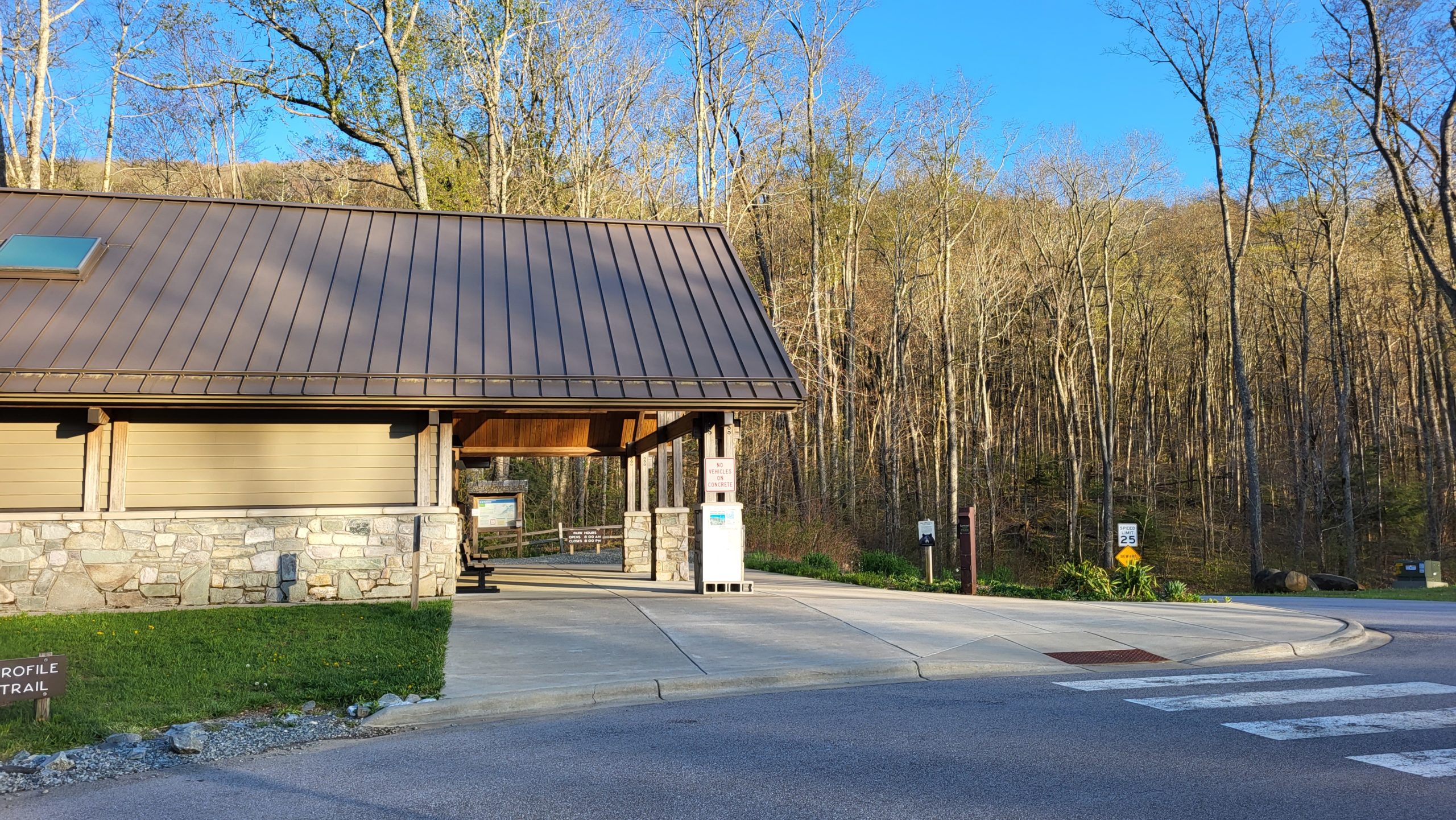
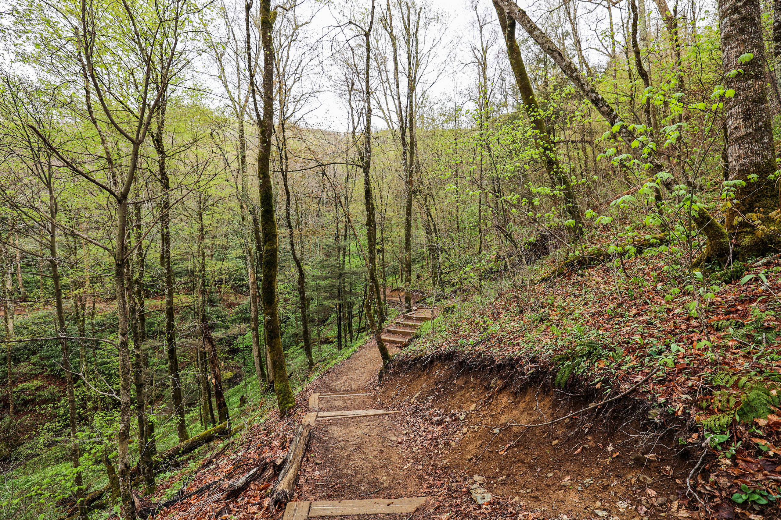
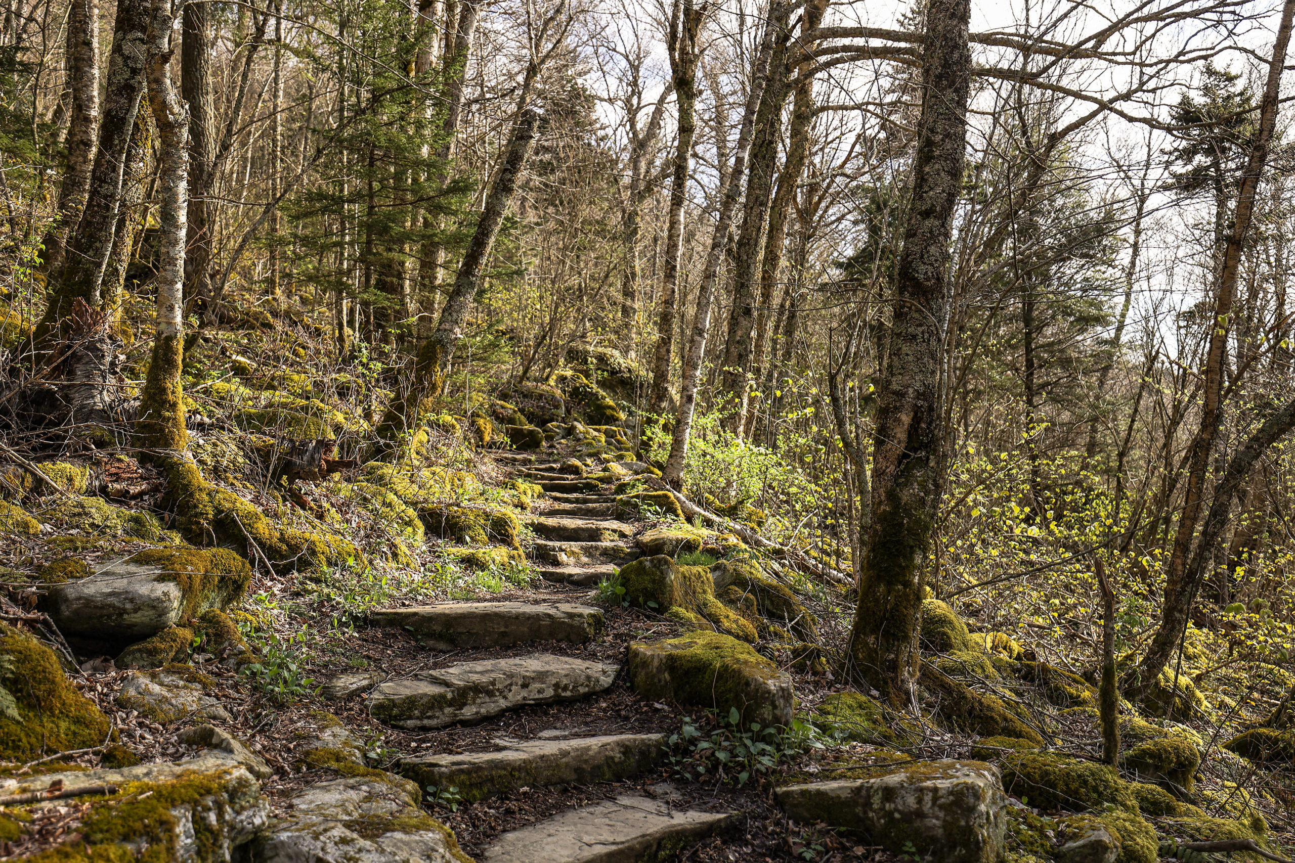
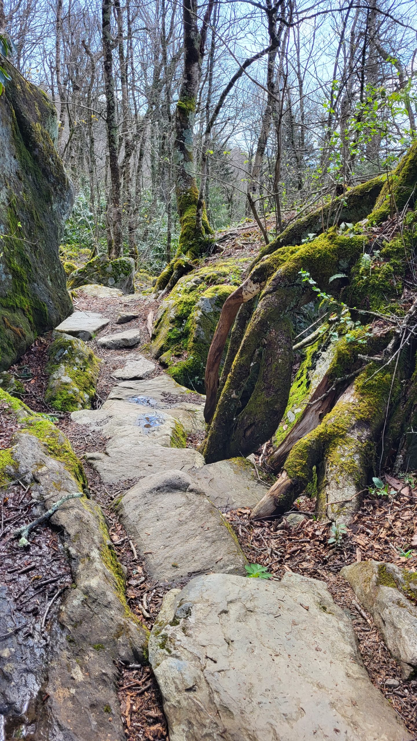
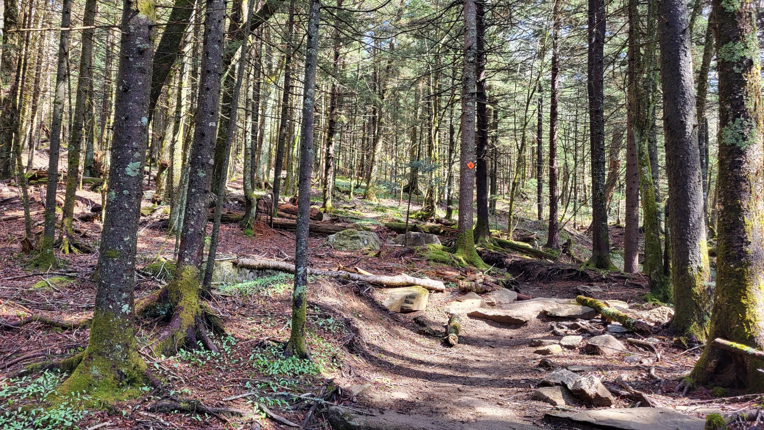
Profile Trail
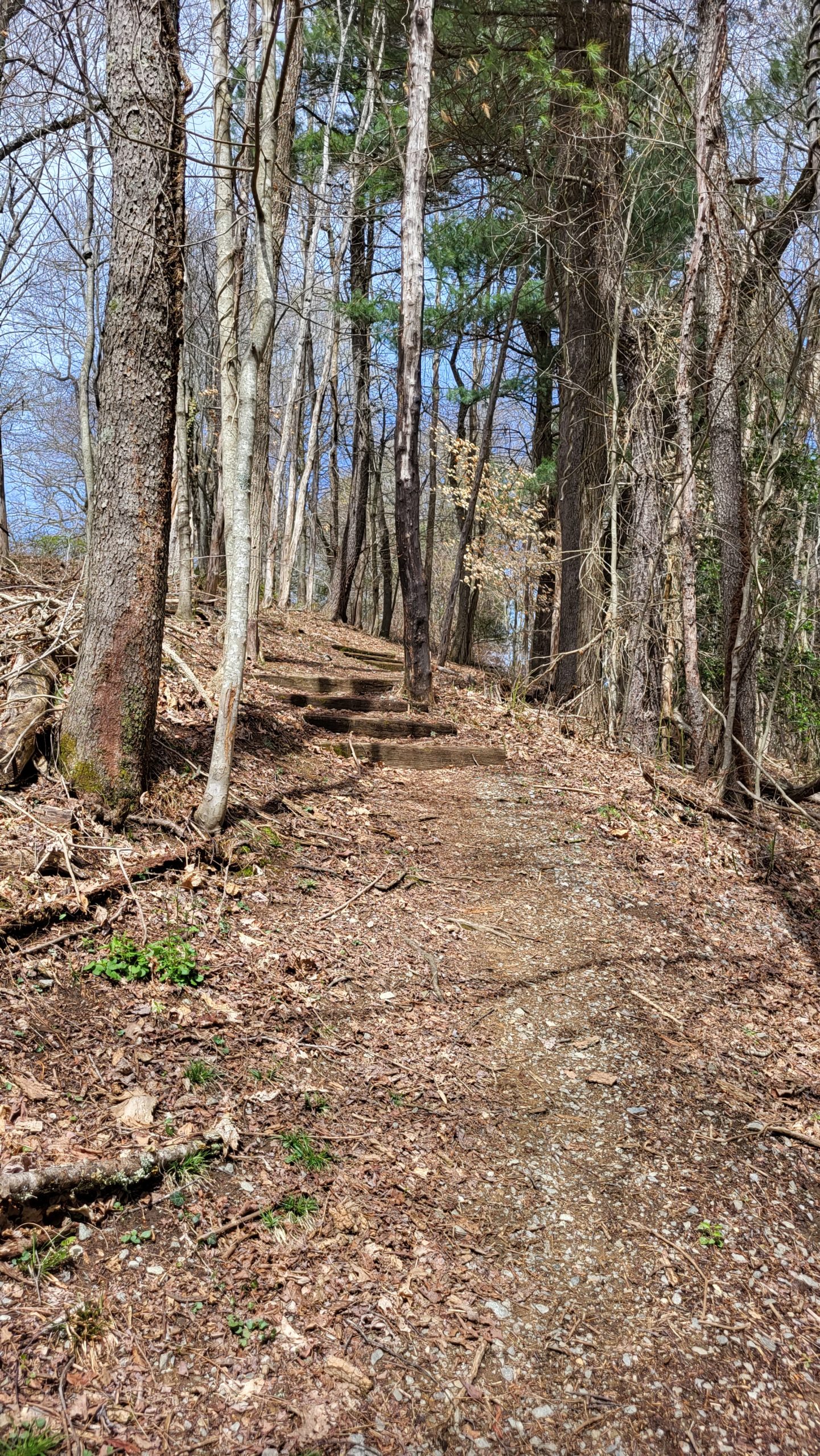
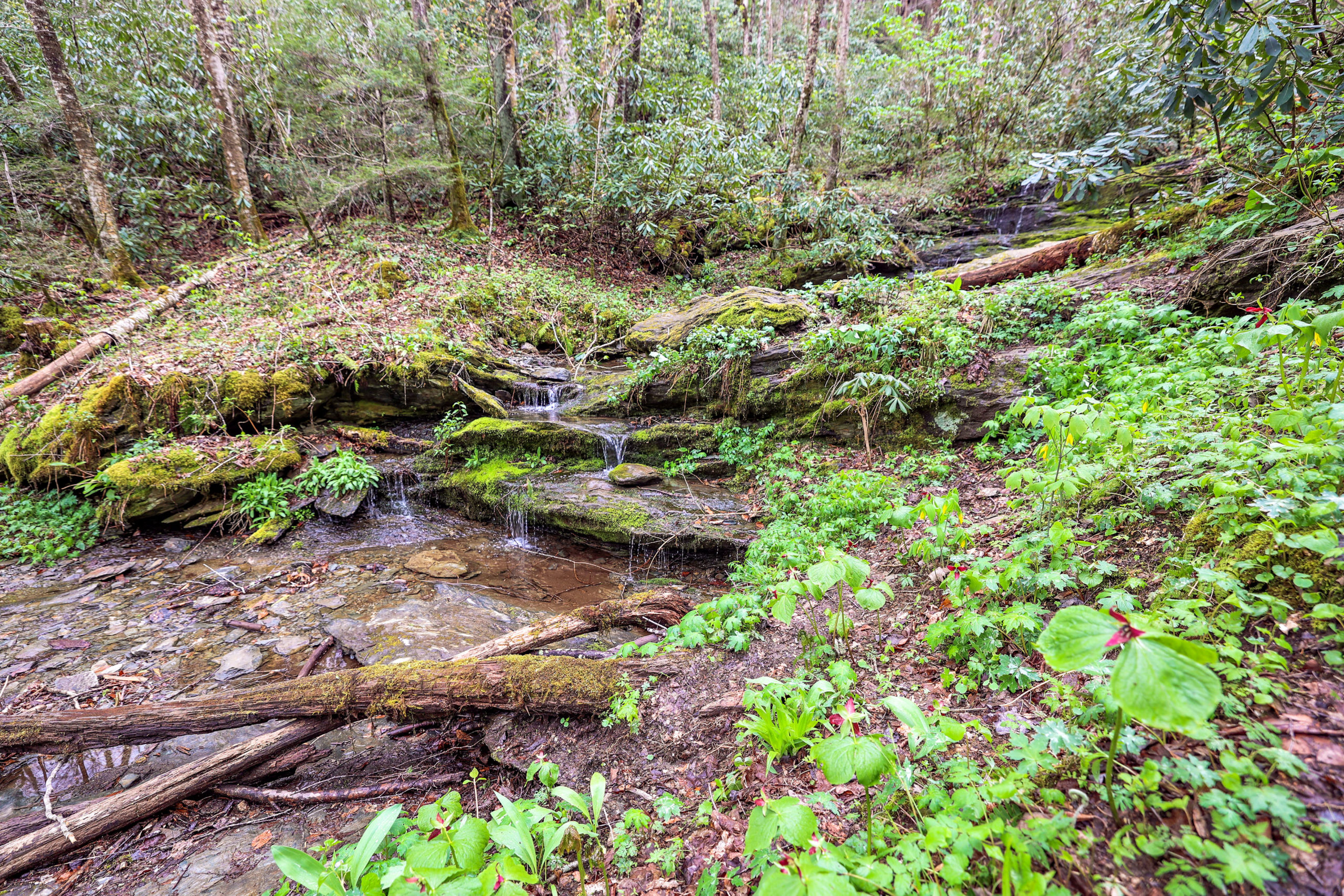
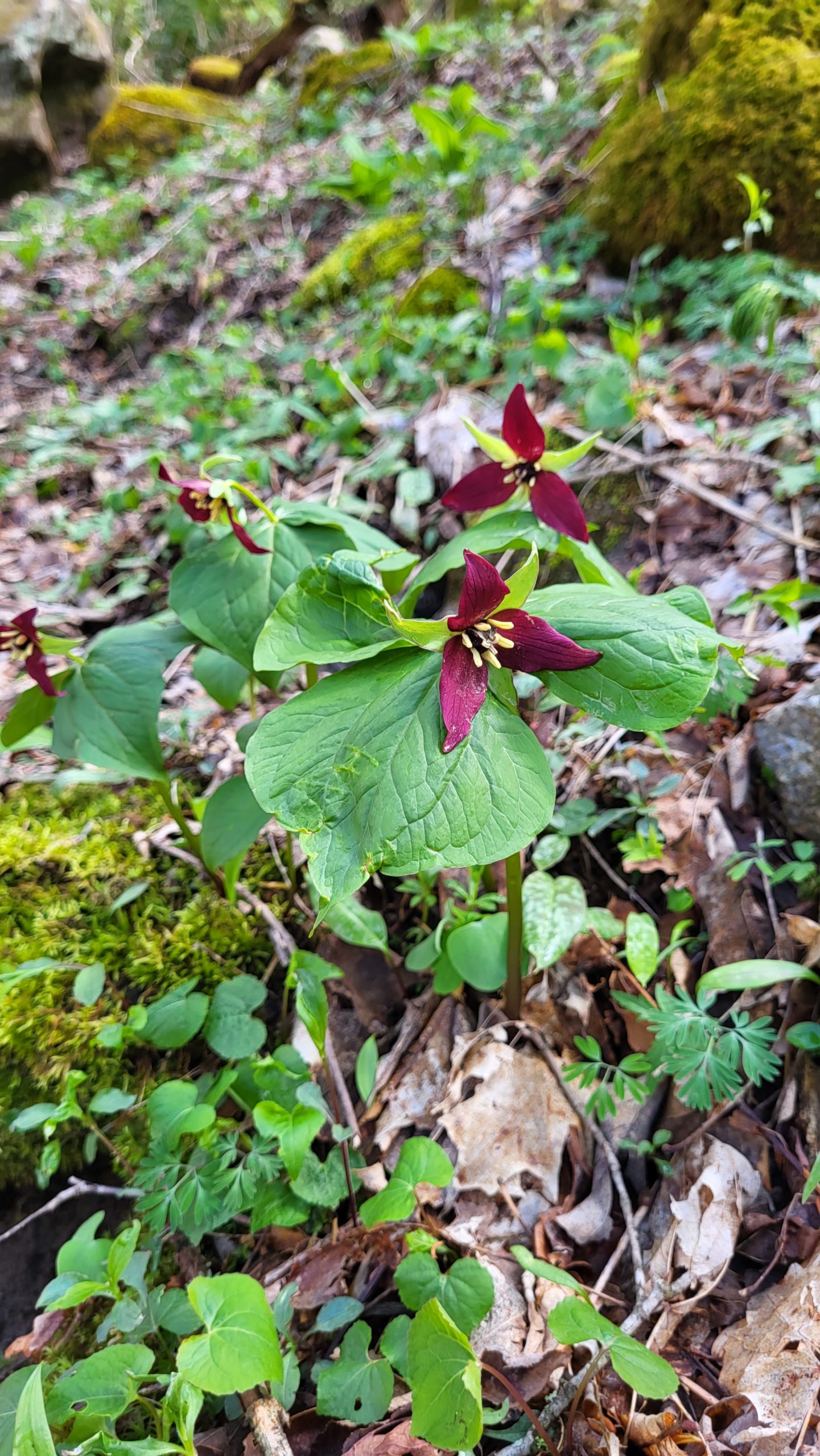
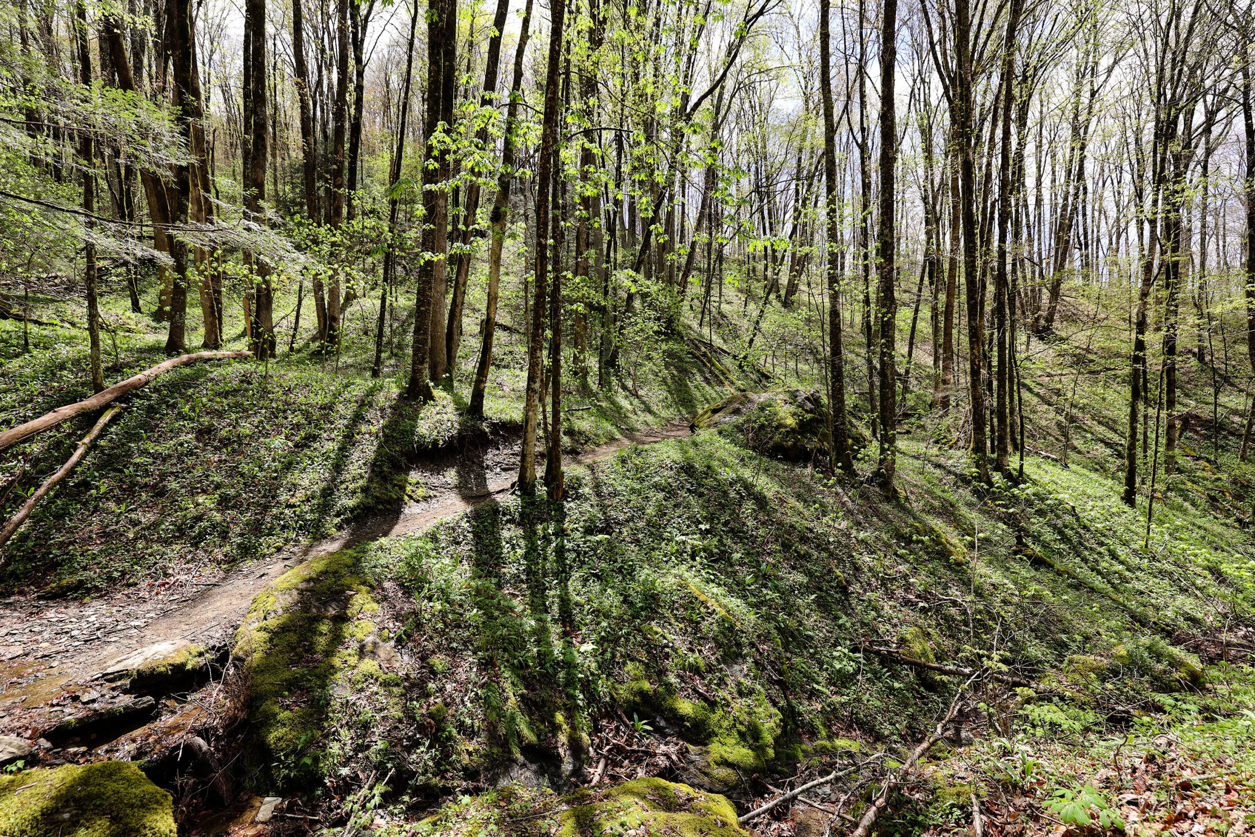
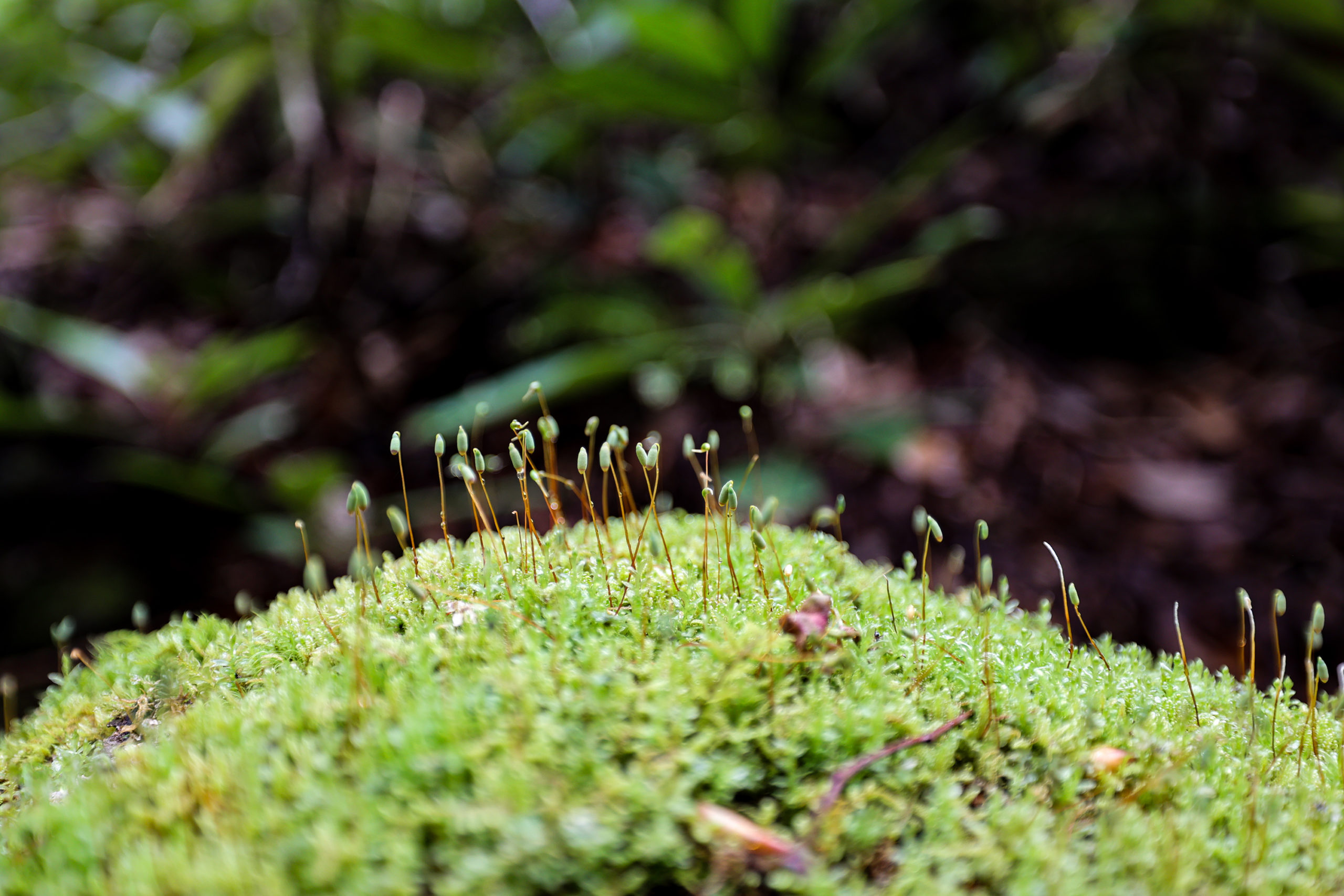
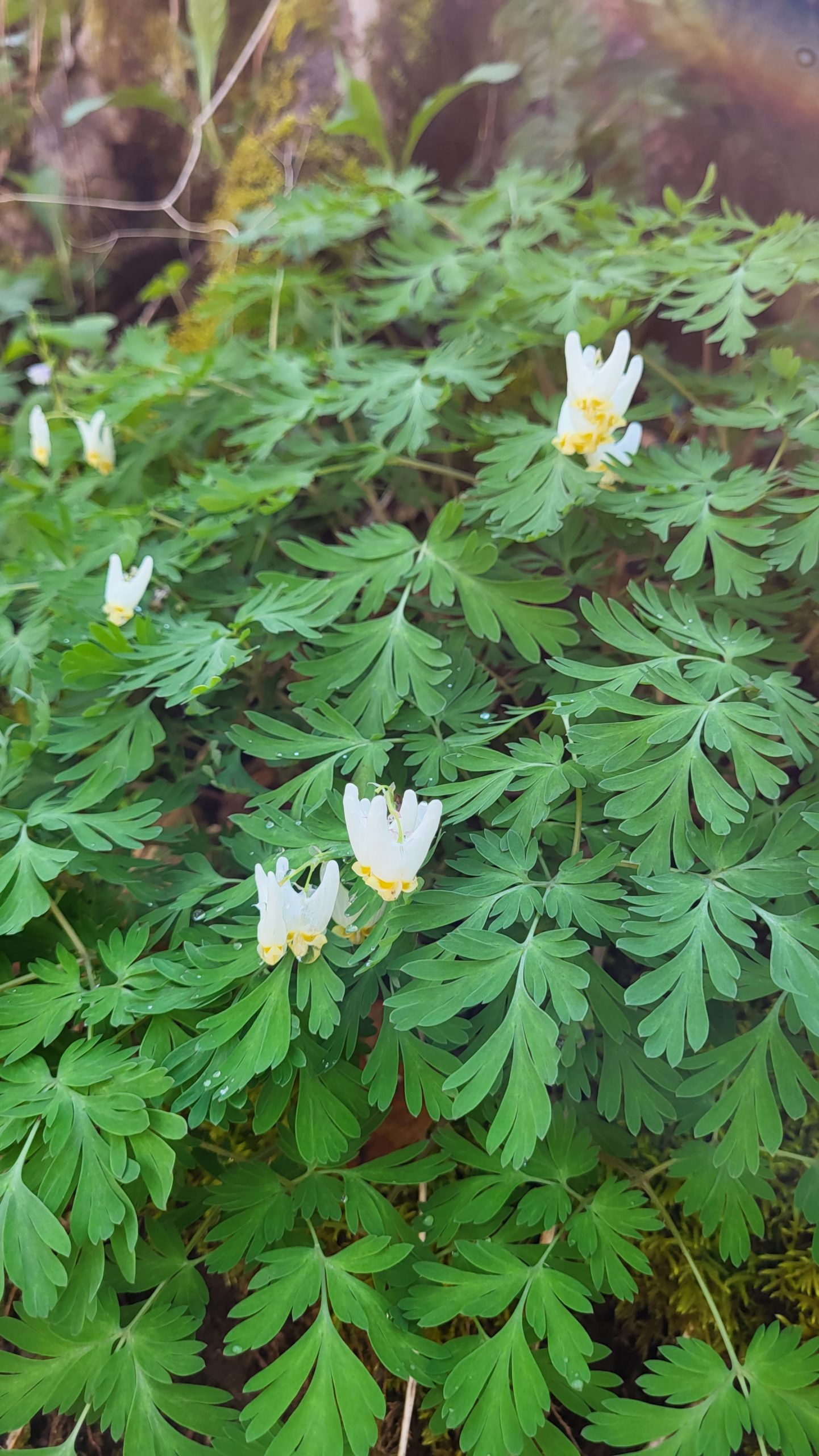
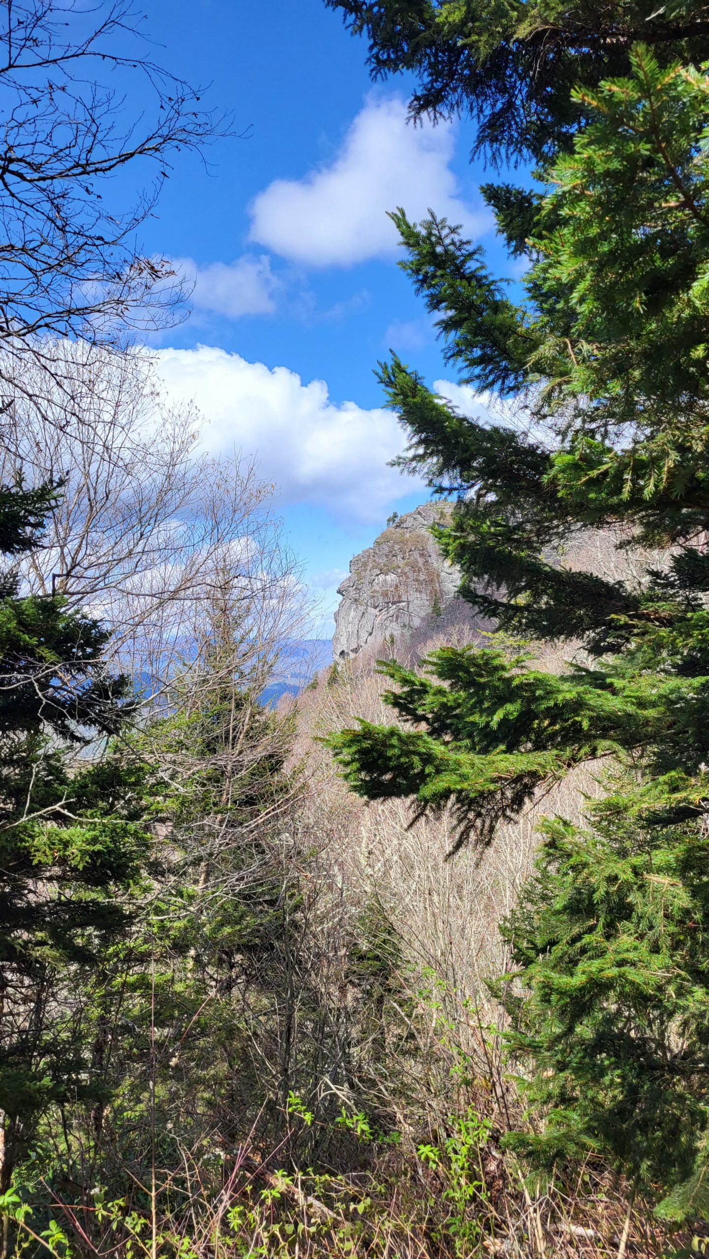
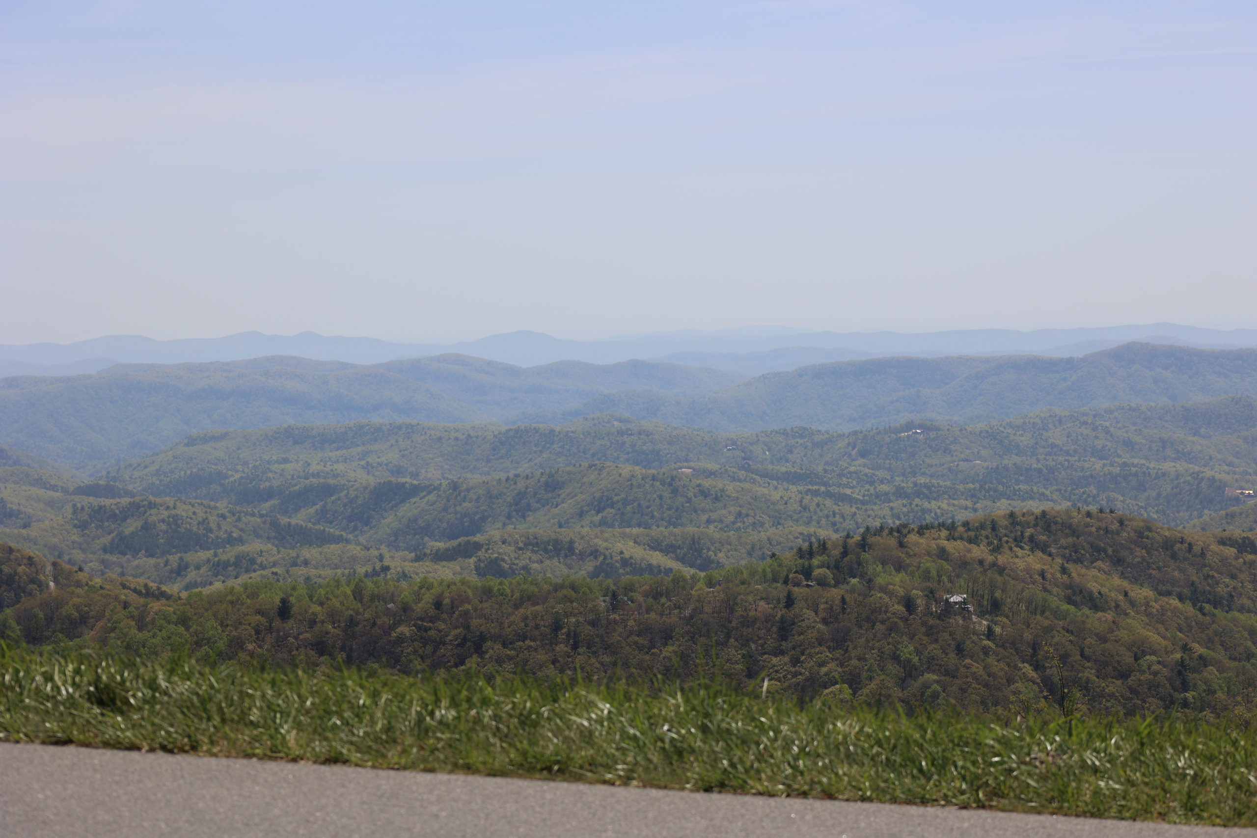
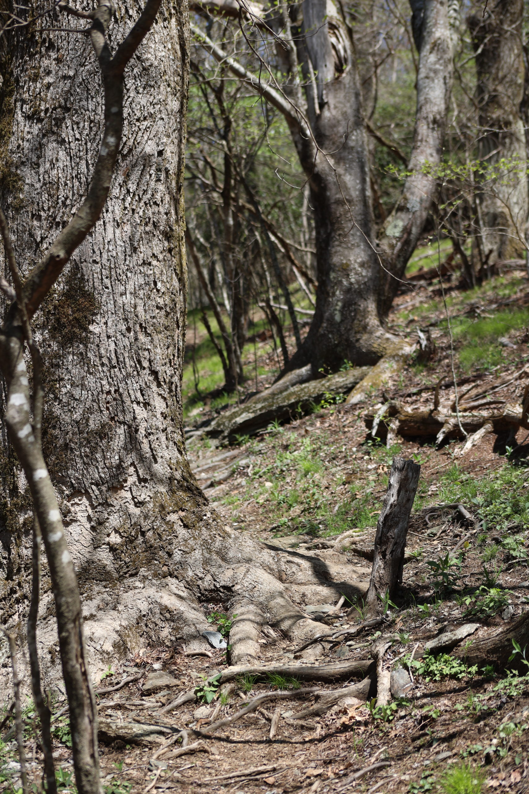
Grandfather Mountain State Park is home to some of the most beautiful trails in the state! And for hikers looking for a challenge, Grandfather’s trails deliver. Profile Trail is a strenuous route that climbs up the western slopes of Grandfather Mountain. It’s named for a view of the famous Grandfather Profile along the trail. Spring is a gorgeous time to enjoy the Profile Trail because there are so many wildflowers to see! Violets, dutchman’s breeches, trout lilies, bellwort, wild geranium, and wake robin filled the forest on the day of our hike. We tackled this trail on Earth Day, which started out quite rainy but turned out to be a perfect day for hiking. The Profile Trail offers a close-up look at an incredible diversity of natural habitats. This hike traverses many different types of terrain and settings across an elevation gain of 1,775 feet.
Trail Length: 3.6 mi (7.2 mi out-and-back)
Difficulty: Strenuous
Surface: Dirt, gravel, rock walkway
Trail Use: Hiking only, leashed dogs ok but steep trails not recommended for pets
Blaze: Orange Diamond
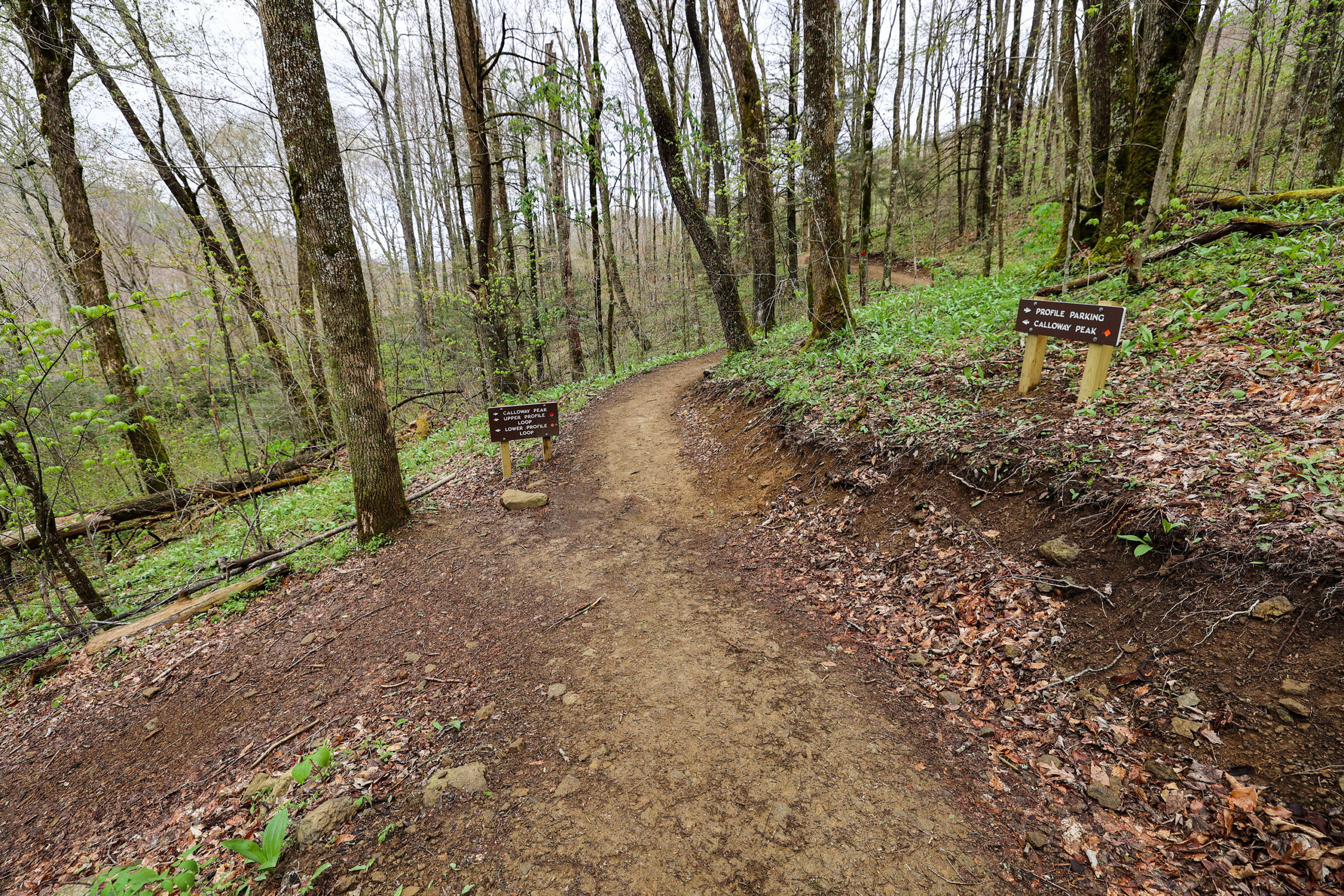
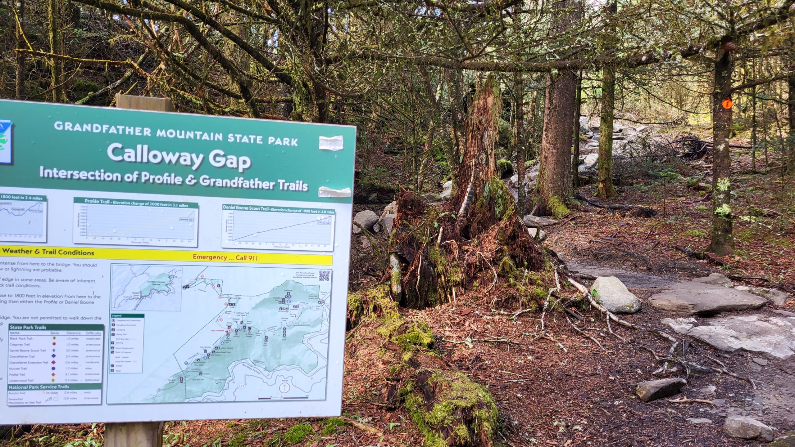
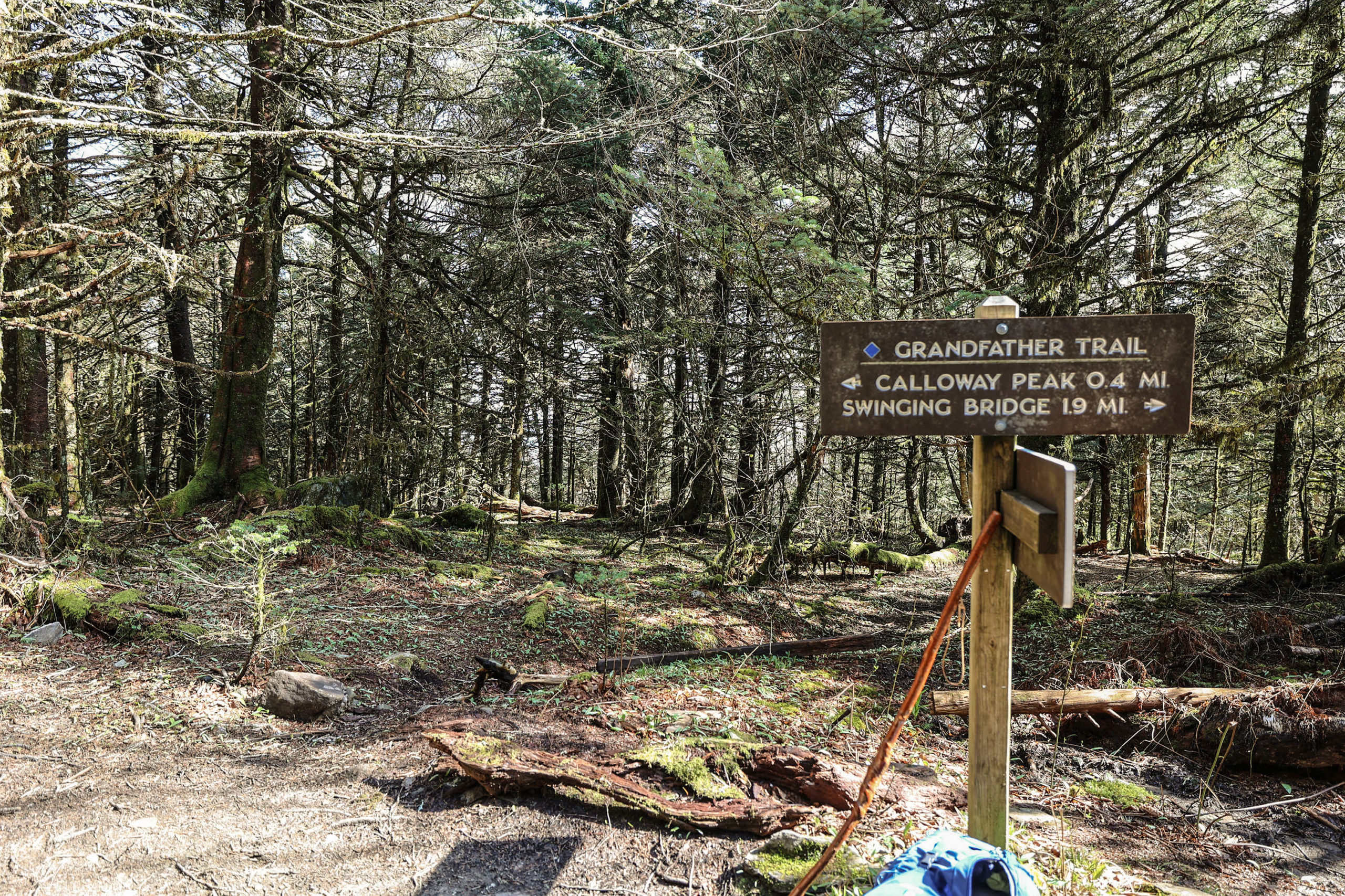
Profile Trail climbs to intersect with Grandfather Trail at Calloway Gap, a wooded spot on the ridge at 5,675 feet. From there, it’s an additional 0.4 miles to incredible views at Calloway Peak, the highest peak on Grandfather Mountain at 5,946 feet. Due to a delayed start and frequent stops for photos, our arrival at Calloway Gap was fairly late in the day. We decided not to extend the hike to the peak so we didn’t feel rushed to complete our hike before dark. It’s always good to err on the side of caution when exploring the outdoors! Our out-and-back hike of the Profile Trail was 7.2 miles total, and took us almost 6 hours to complete. It’s recommended to allow at least 4 hours for the 7.2-mile hike, even for seasoned hikers. Add another 1-2 hours if you extend the hike to Calloway Peak. Grandfather Mountain’s website has a fantastic overview of the trail with tips for hikers.
Going all the way to the top is not required to experience the beauty of Profile Trail. Forest views, wildflowers, and cascading streams can all be enjoyed on the lower slopes of the mountain. An easier loop across lower elevations can be created by using the Profile Connector Trail, then returning to the parking area. See the Park’s Trail Map for this route and other trails.
Getting There:
The Profile Trail is inside Grandfather Mountain State Park and can be easily accessed at the trail head on Highway 105 in Banner Elk. This location is about 25 minutes from Blowing Rock via Shulls Mill Road and Highway 105. It’s well marked and has restrooms and ample parking, though parking can fill up fast. Hiking in the state park is free but all hikers are required to register using a short form at trailheads before taking the trails.
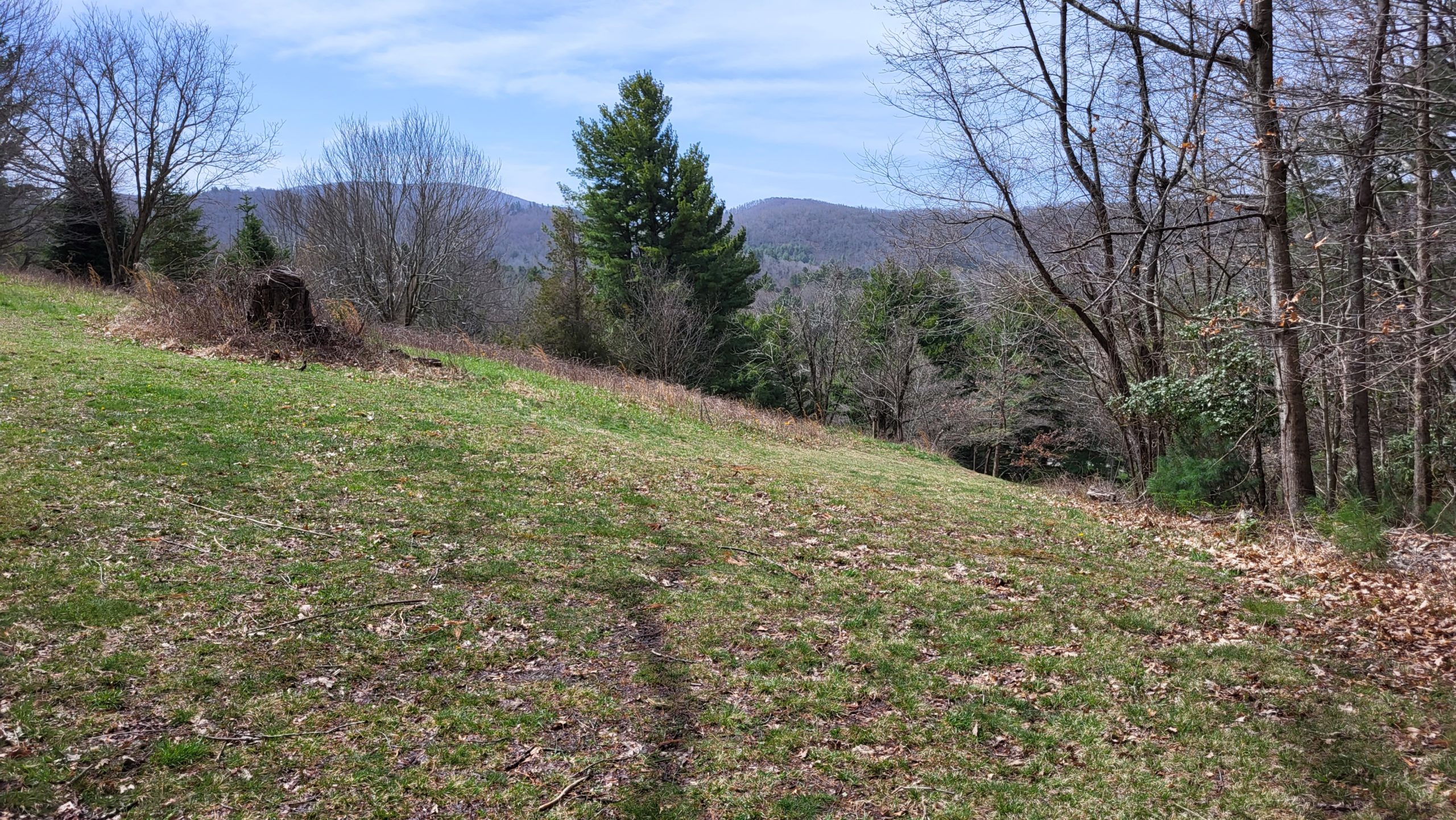
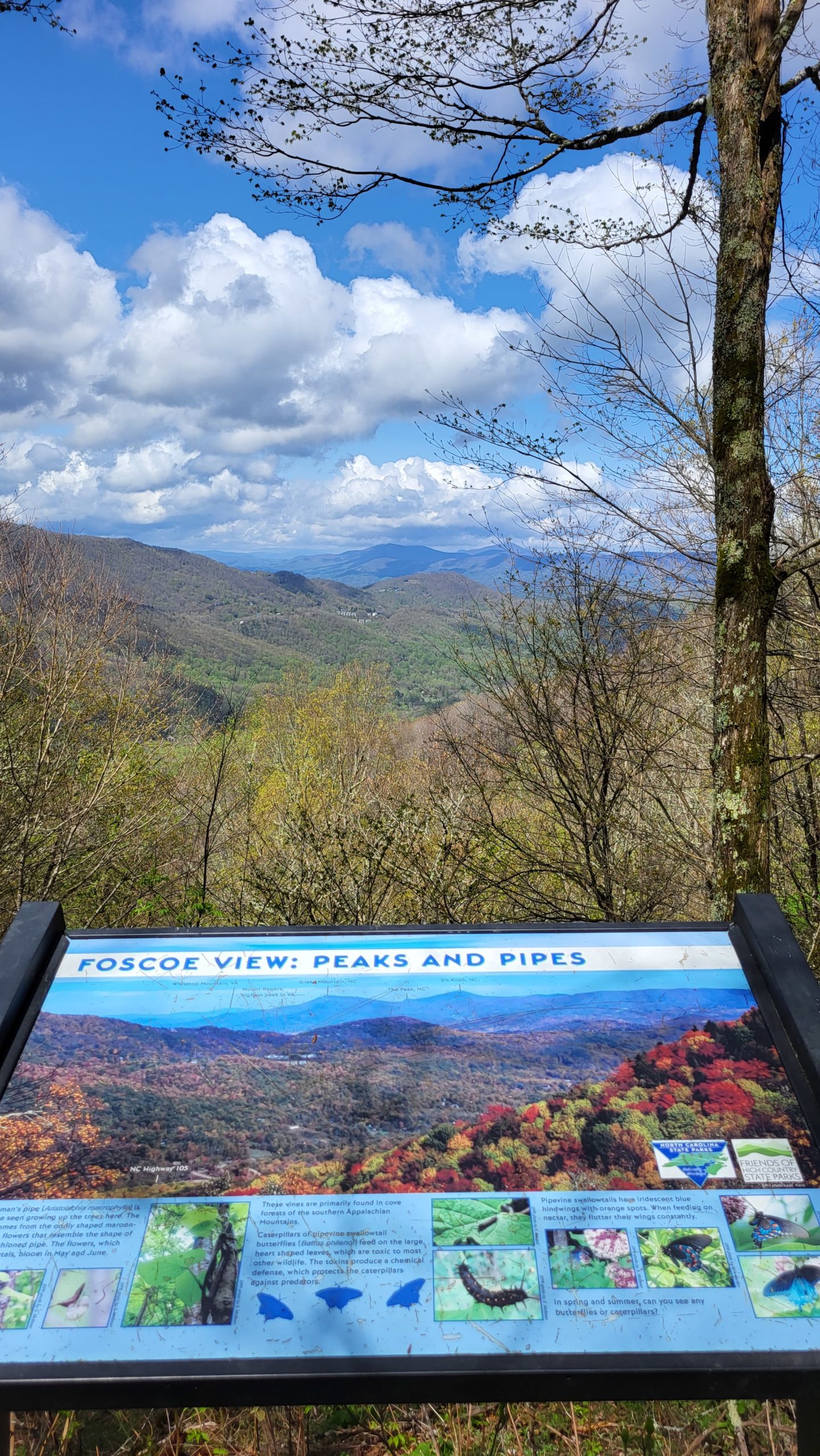
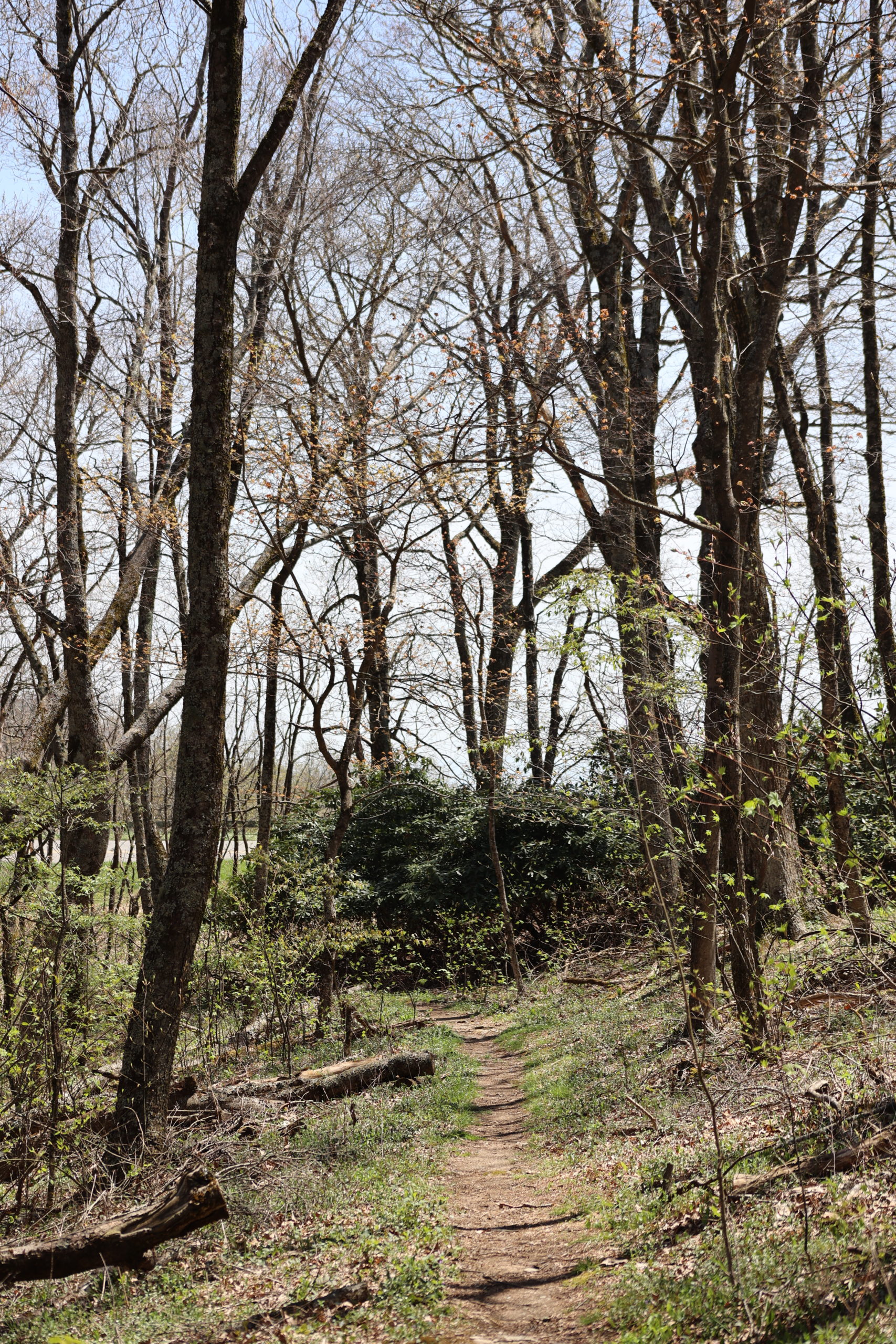
Mountains to Sea Trail
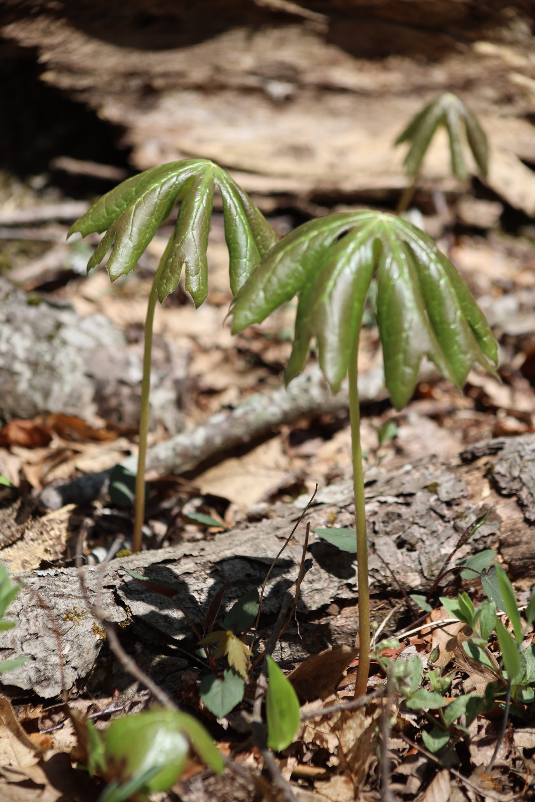
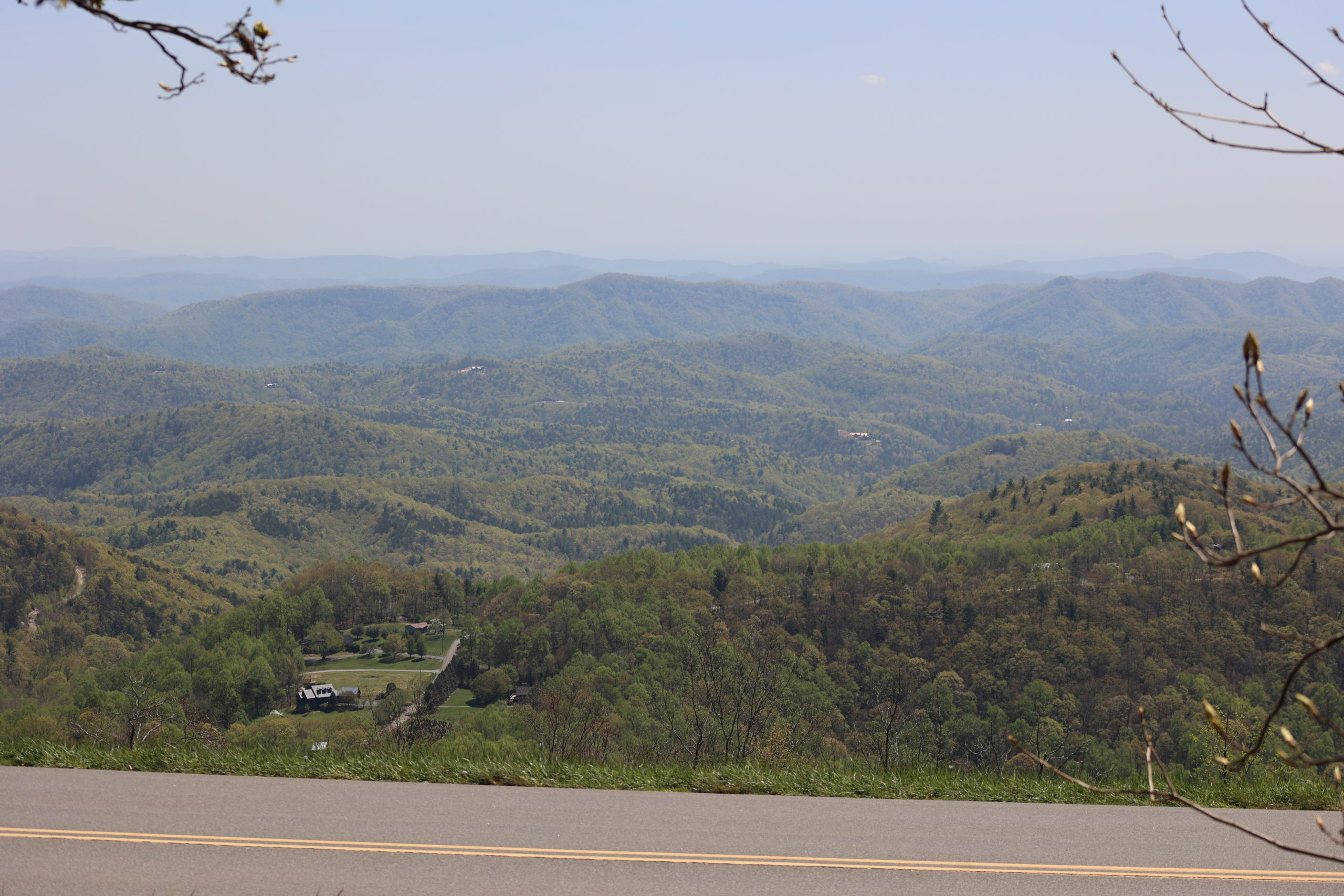
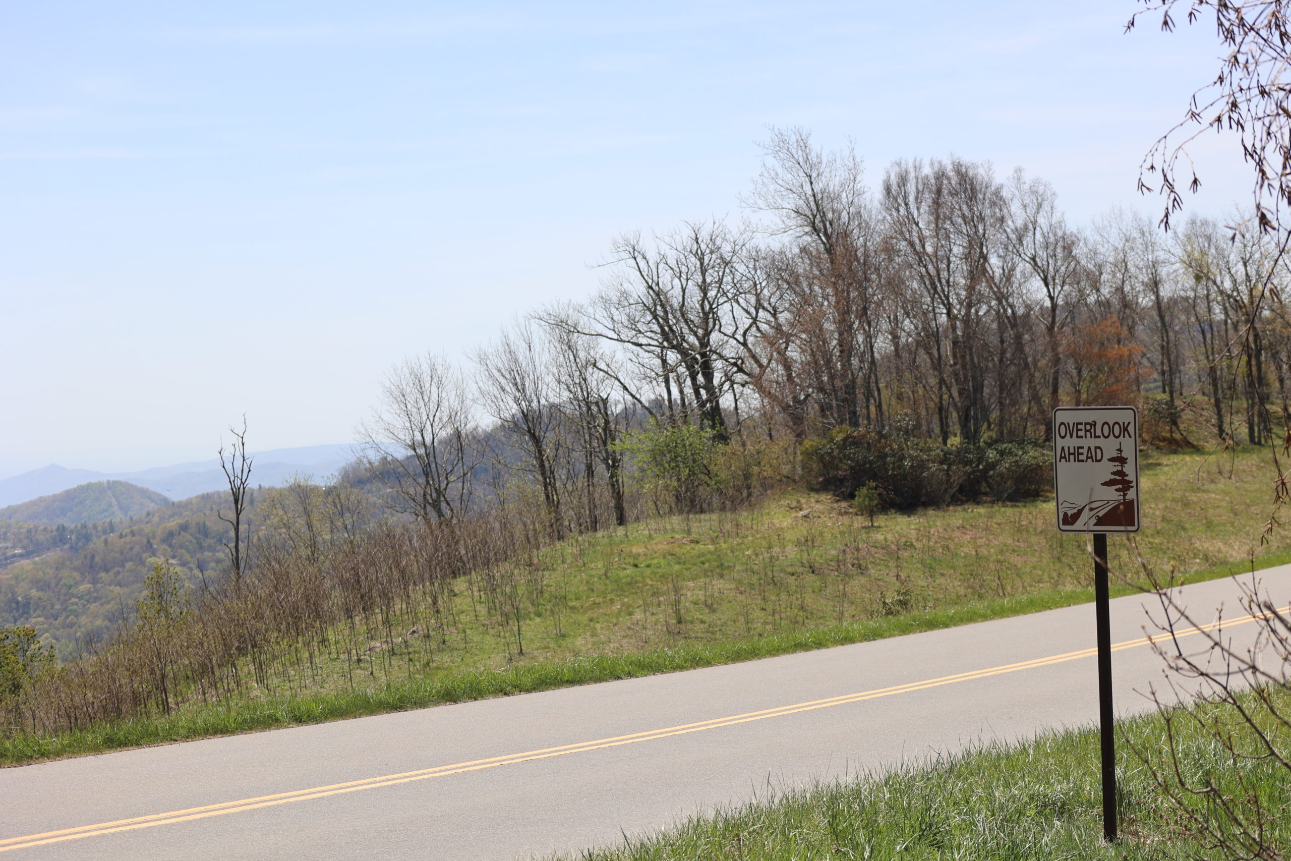
This portion of the Mountains to Sea Trail runs from Thunder Hill Overlook to the Ravens Rock Overlook. Start at the parking area for either overlook to access the trail. It is narrow, but very clearly defined. When you hit the trail in early spring there are plenty of flowers blooming such as Trillium and Mayapple. Mossy rocks and trees line the dirt path. Due to the amount of rocks and roots on the path, hiking boots are recommended. Inclines and switchbacks make this trail easy to moderate difficulty. The trail took 30 minutes one way and an hour out and back. For the first 100 yards or so you’ll walk right along the Blue Ridge Parkway. Great views of both the North (Ravens Rock) and South (Thunder Hill) of the Parkway are visible from this trail. We packed a picnic and ate lunch at the overlook. If you do this remember to pack out all of your trash and Leave No Trace!
Trail Length: 1.6 miles (Out & Back)
Difficulty: Easy to Moderate
Surface: natural terrain
Trail Use: No vehicles or bikes; leashed dogs ok
Blaze: White Circle
Getting There:
This portion of the Mountains to Sea Trail is 3.5 miles from downtown Blowing Rock. Take the Blue Ridge Parkway North and turn into the parking lot for the Thunder Hill Overlook. It can also be accessed from the Ravens Rock Overlook and taken the other direction.
Looking Ahead
For May, we’ll continue exploring some great spring trail options. Horseback riding and a legacy trail make great trails to tackle in Spring! See more about Year of the Trail in Blowing Rock >>