
For August, we enjoyed the height of summer with tubing, visited the Blowing Rock Boulders, and trekked fan-favorite Boone Fork Trail. As always, please remember to pack plenty of water and snacks, and to do some research before you set out on your hiking experience. Read along below, and see what we’ve been up to in August.
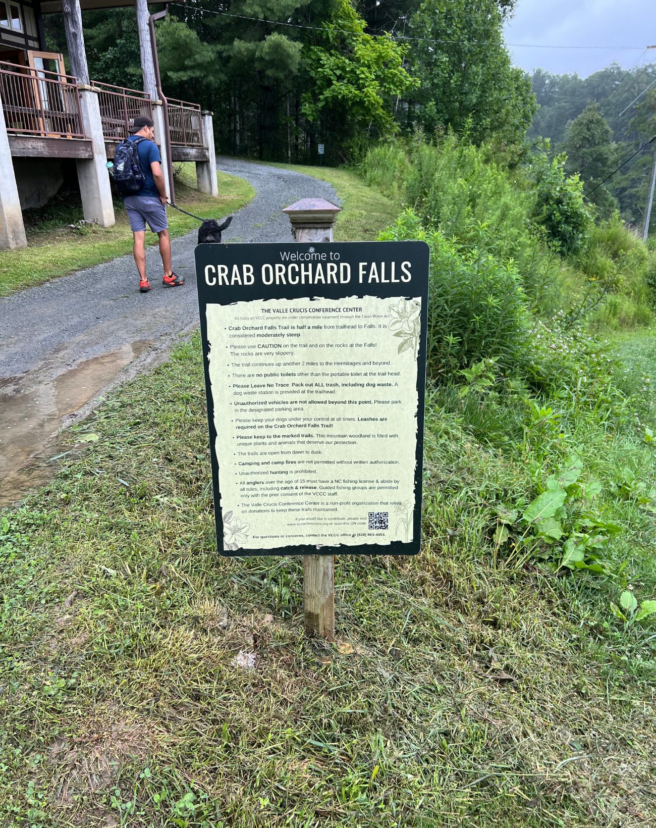
Crab Orchard Falls
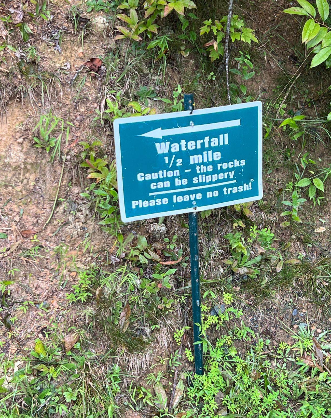
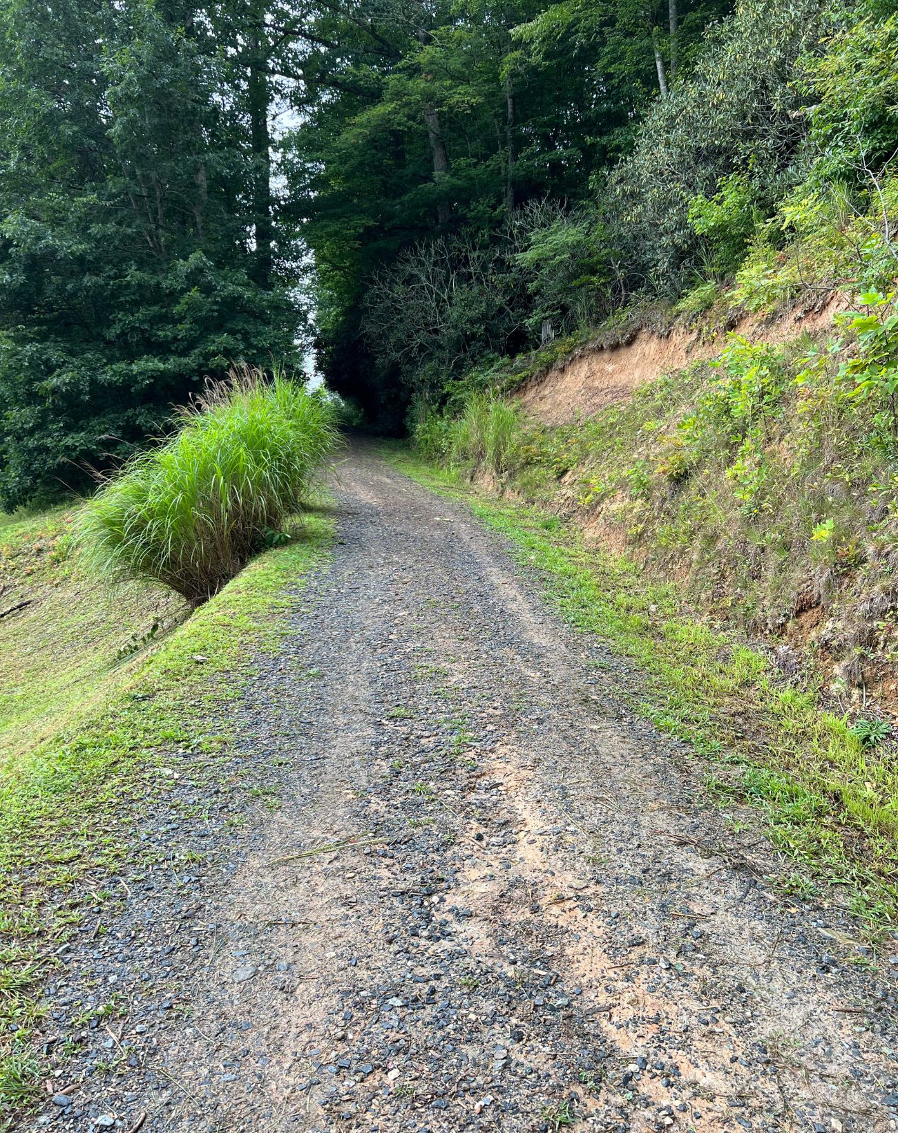
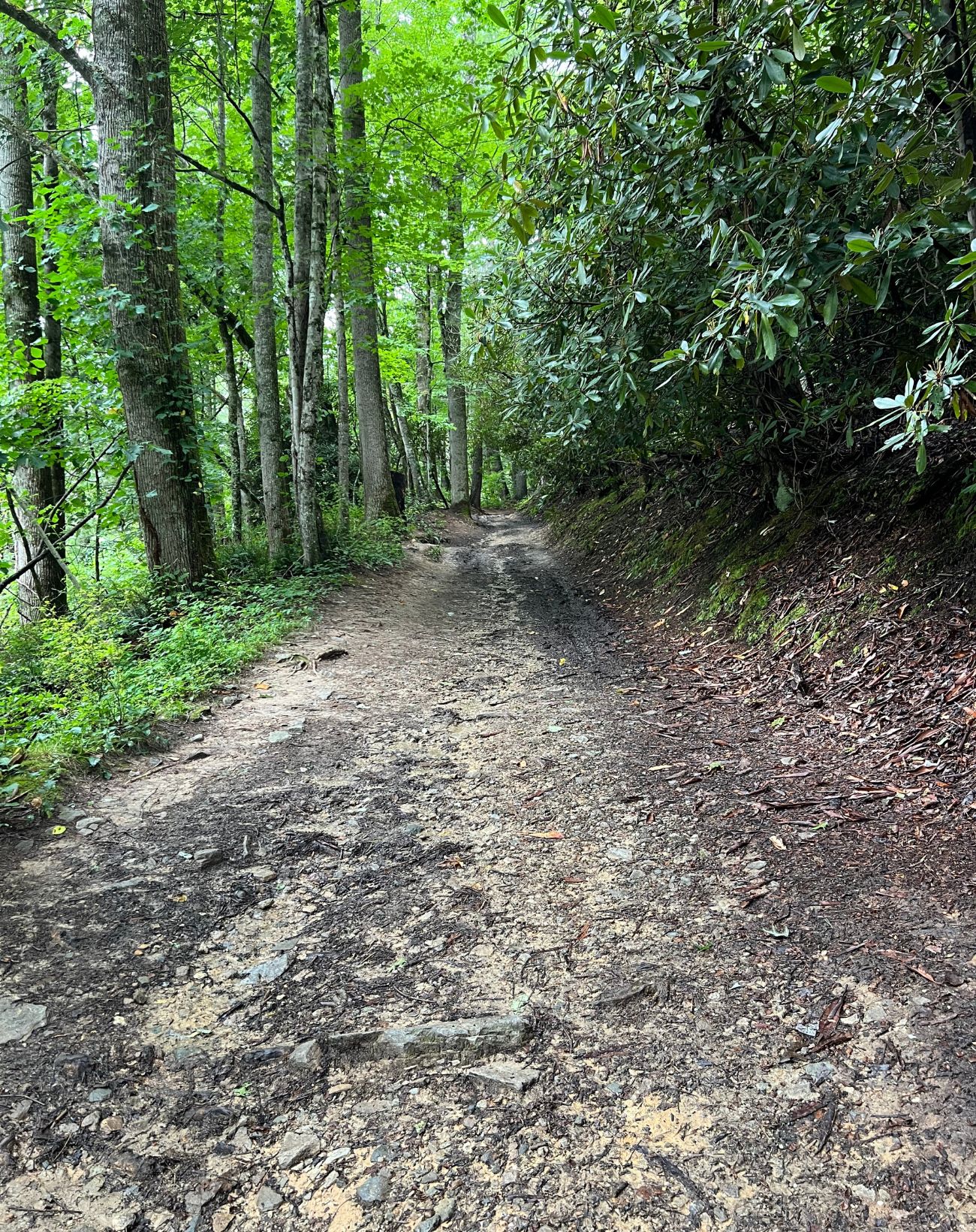
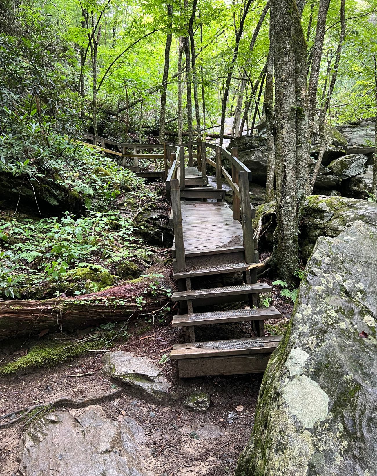
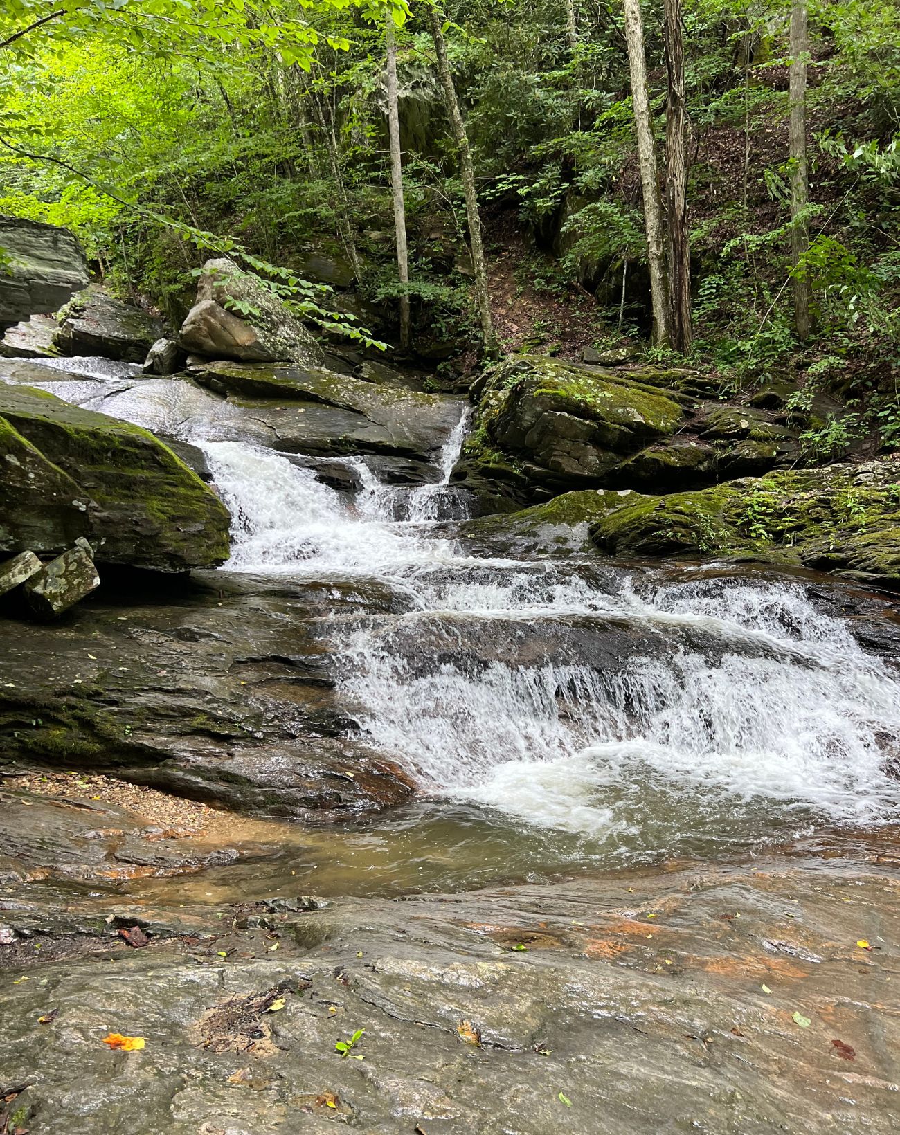
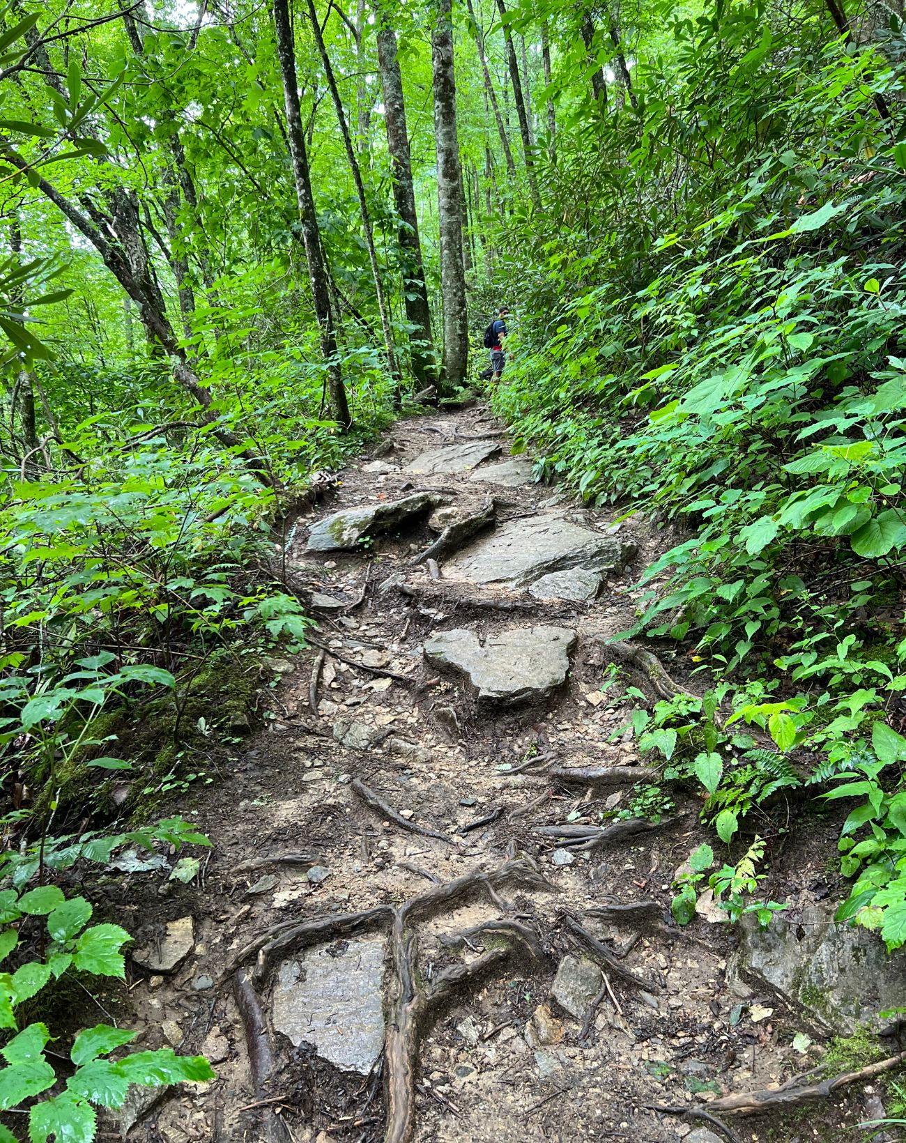
The trail to these falls is very steep and the pathway is wide and natural so it is rocky and many roots protrude. It is also very slippery when wet due to mud, so be aware of that if you decide to hike during or after rain like we did. The trail is only .5 miles and 1 mile in and back, however it is fairly strenuous. There are some benches for sitting and relaxing but some of them have fallen into disrepair so be careful and test them out before putting your weight on them. There is a short descent to the falls. The falls cascade down multiple levels of rocks creating one large fall. The view is absolutely worth the hike. The rocks and stairs near the fall can be very slippery so please exercise caution. Hiking out is downhill and is easier than the steep hike in.
Trail Length: 1.0 mile in and out
Difficulty: Moderate to Strenuous
Surface: Natural rock and dirt terrain, some very slippery wooden stairs
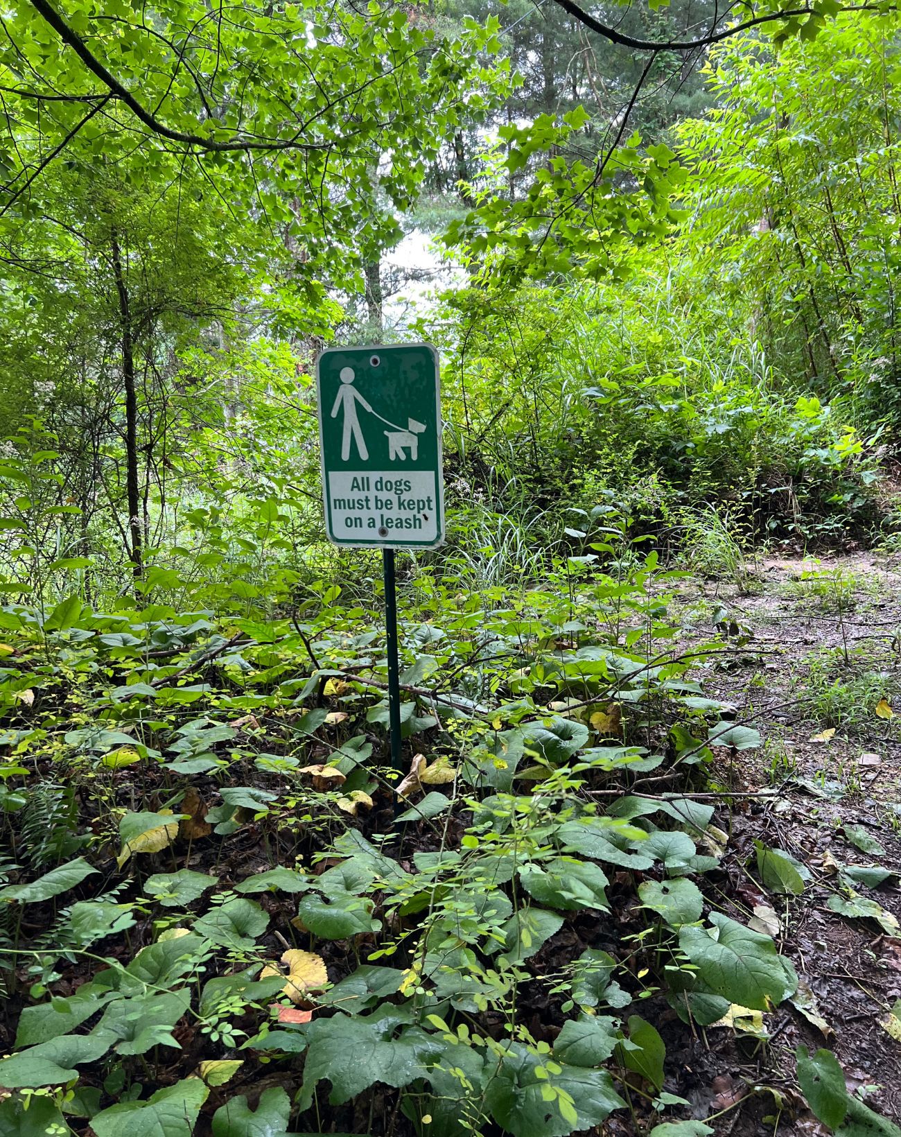
Trail Use: hiking, leashed dogs ok
Blaze: N/A Trail marked with signage
Getting There:
To get there you take U.S. 321 towards Boone, then turn left onto 105 in Boone. Drive out until the turn for Valle Crucis and turn right at the light. Take that road to the Apple Barn, then turn right in front of the barn. Then directly take a left to travel up behind the barn. You will reach a Conference Center and it seems like a dead end. Take the road to the left and drive around the conference center, then wind up the road until you start seeing signs for trail parking. Please park in the designated spots. Then follow the gravel road up to the trailhead. There are very explicit signs about hiking at your own risk, keeping your dog leashed, and expressing that the trail is an uphill hike.
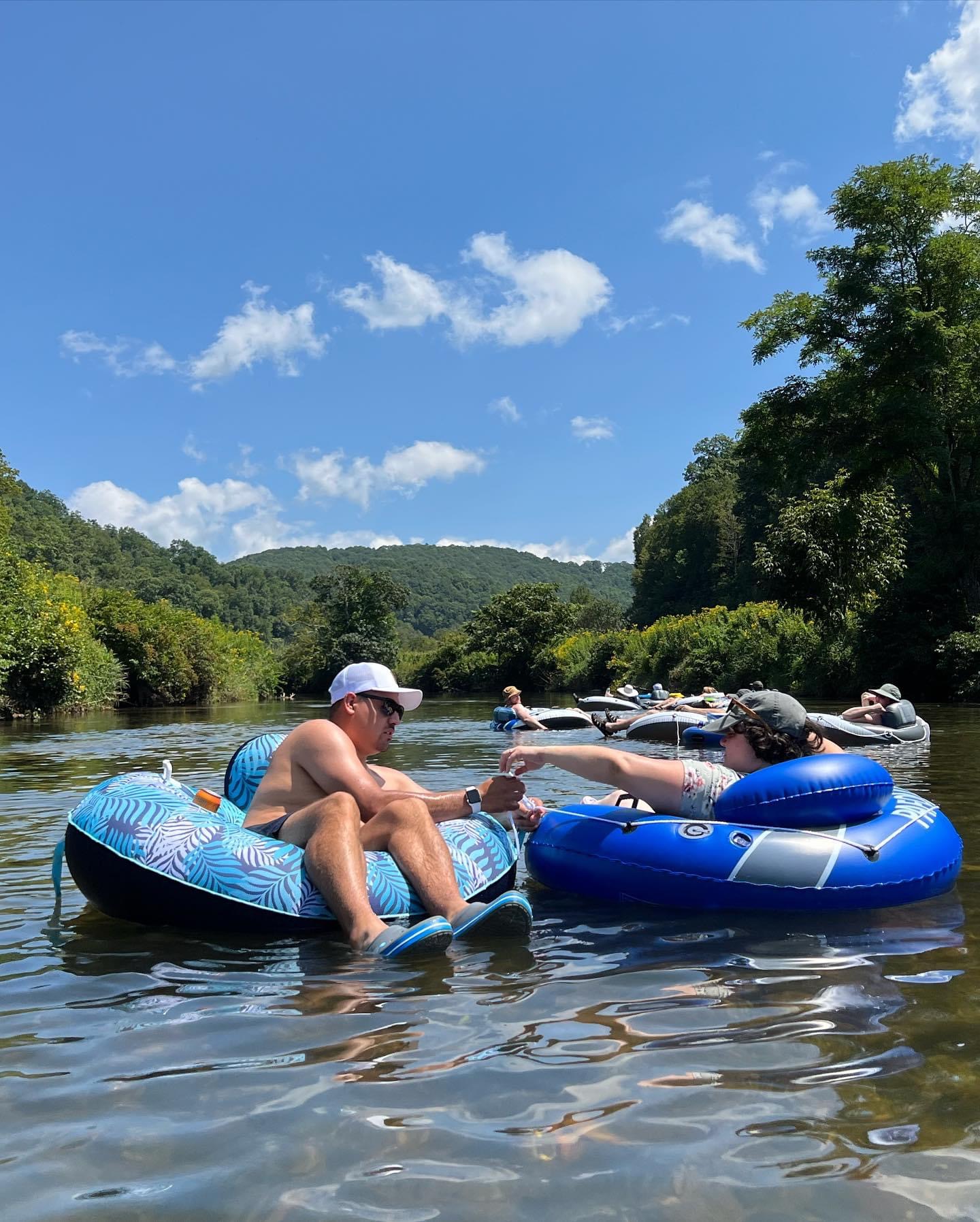
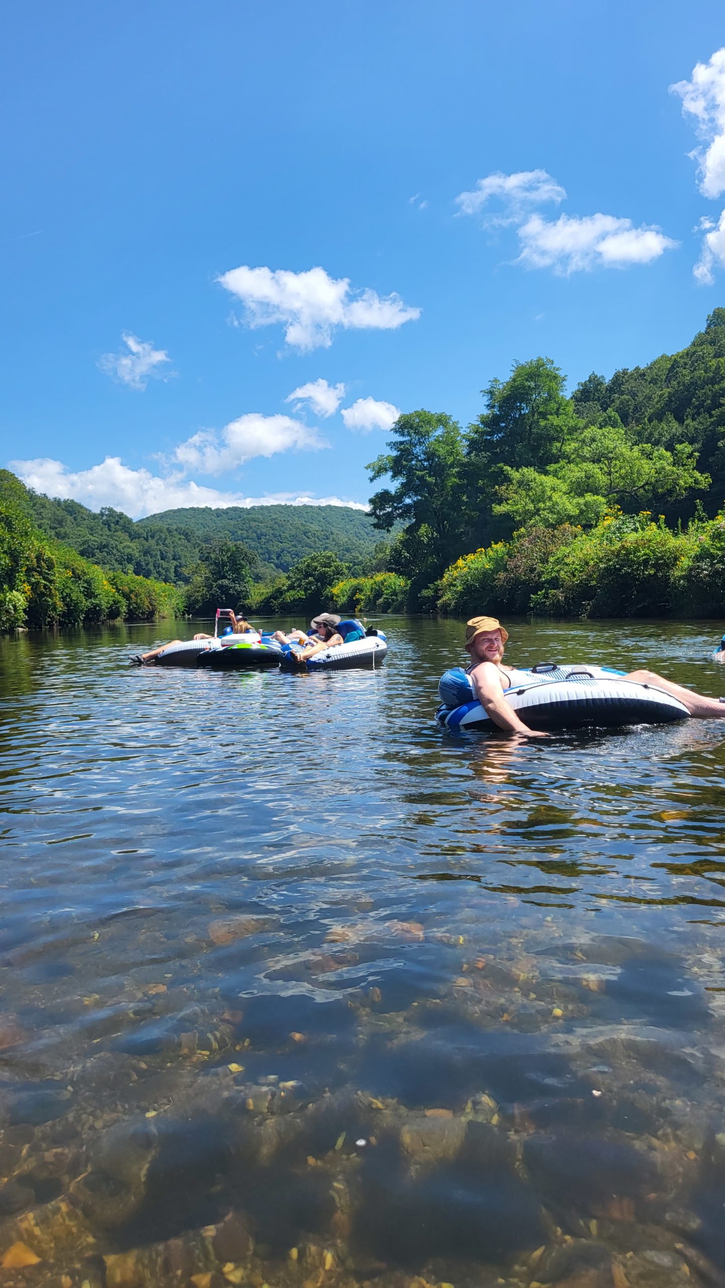
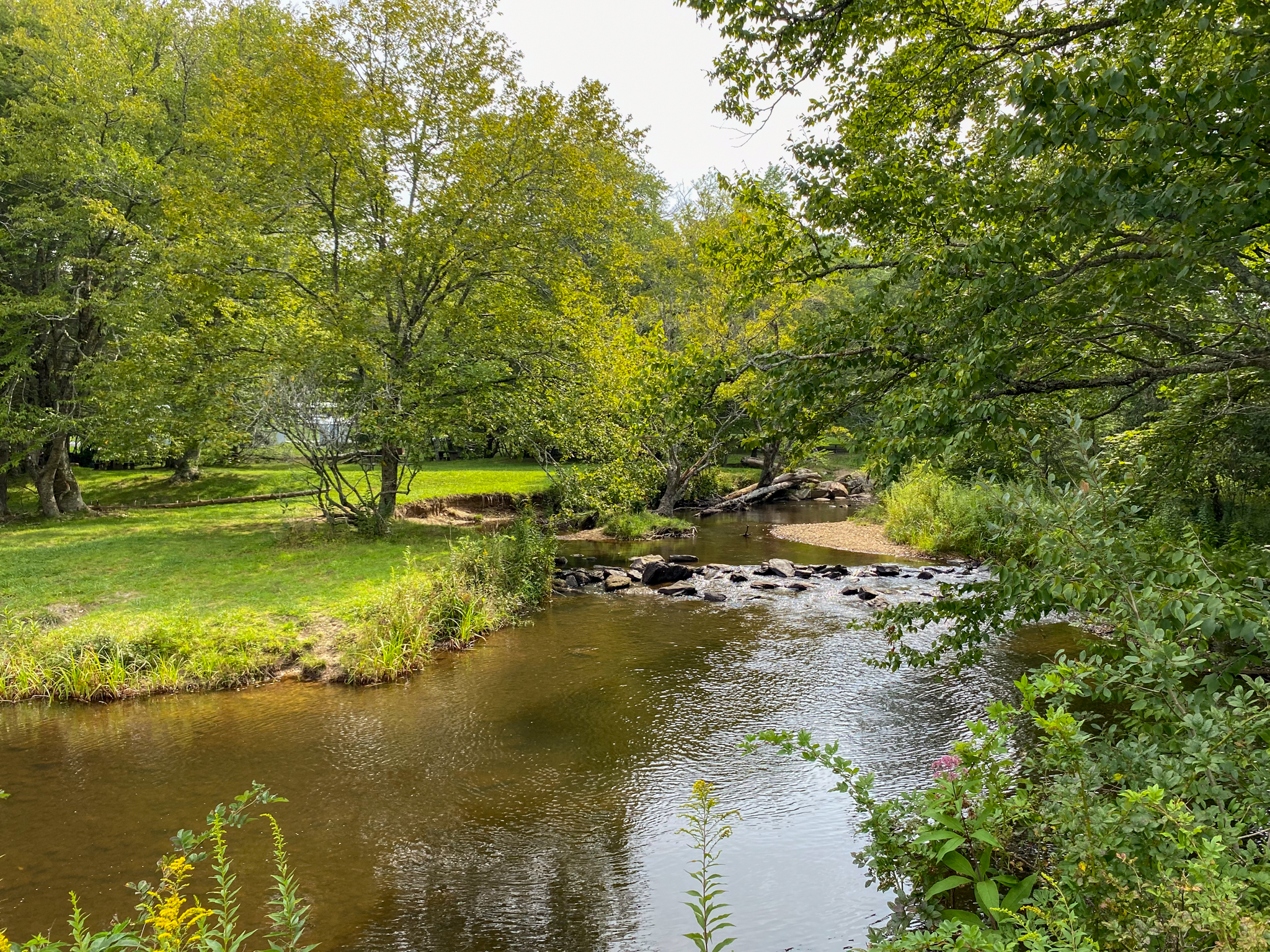
New River Paddle Trail
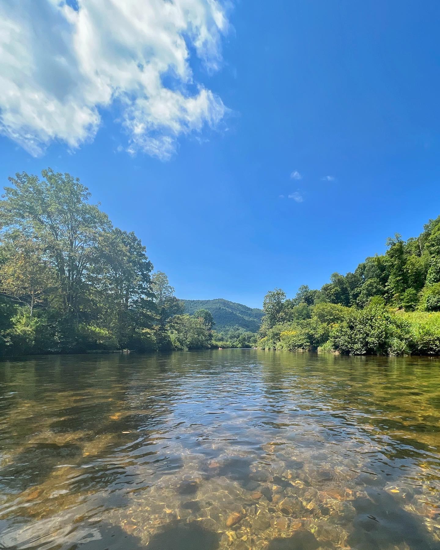
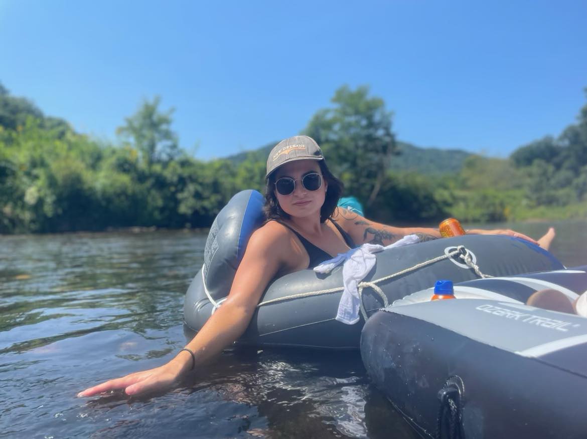
We tubed down the New River and, boy, was it a pleasant experience! We entered the water at Green Valley Park Access and floated to Todd Access at Cook Memorial Park. It took us approximately 3 hours. The water was calm, there was plenty of shade, and the section is a favorite for local guide services, so plan to see other tubers and kayakers. You can expect to float over some smooth rocks, but worry not as they are not painful. Our group had big laughs about the rocks and would work together to get floating again if one of us “ran aground.” Mostly the current swept us along and we relaxed in our tubes.
Trail Length: About 2.76 miles
Difficulty: moderate to strenuous
Surface: Water with a few smooth rocks
Trail Use: tubing, kayaking, canoeing
Blaze: N/A
Since the float takes approximate 3 hours, it is important to pack some water. It is also important to remember to wear sunscreen and pack more for reapplication due to the water reflection. Make sure to pack out any trash that you bring in and Leave No Trace. This includes shirts, water bottles, cans, keys, and anything else that should be secured on the trip.
Getting There:
To get there we took 2 sets of cars, left 1 set at the pick up, and took the other set to the drop off. We took U.S. 321 into Boone and turned right on Deerfield Rd. Then took a left onto State Farm Rd. Then took a right onto US 221 N, and another right onto King St. We passed the movie theatre on King St. and then took a left onto NC 194 toward Todd. Follow NC 194 for about 5 miles then turn right onto Big Hill Rd. Follow Big Hill Rd. to Green Valley Community Park which is on the right. The float is far enough that leaving a vehicle at the drop off and the pick up is advisable. Also, make sure to leave everyone’s towels in the pick up cars. Have your phones and keys secured so they cannot fall into the water and get lost.
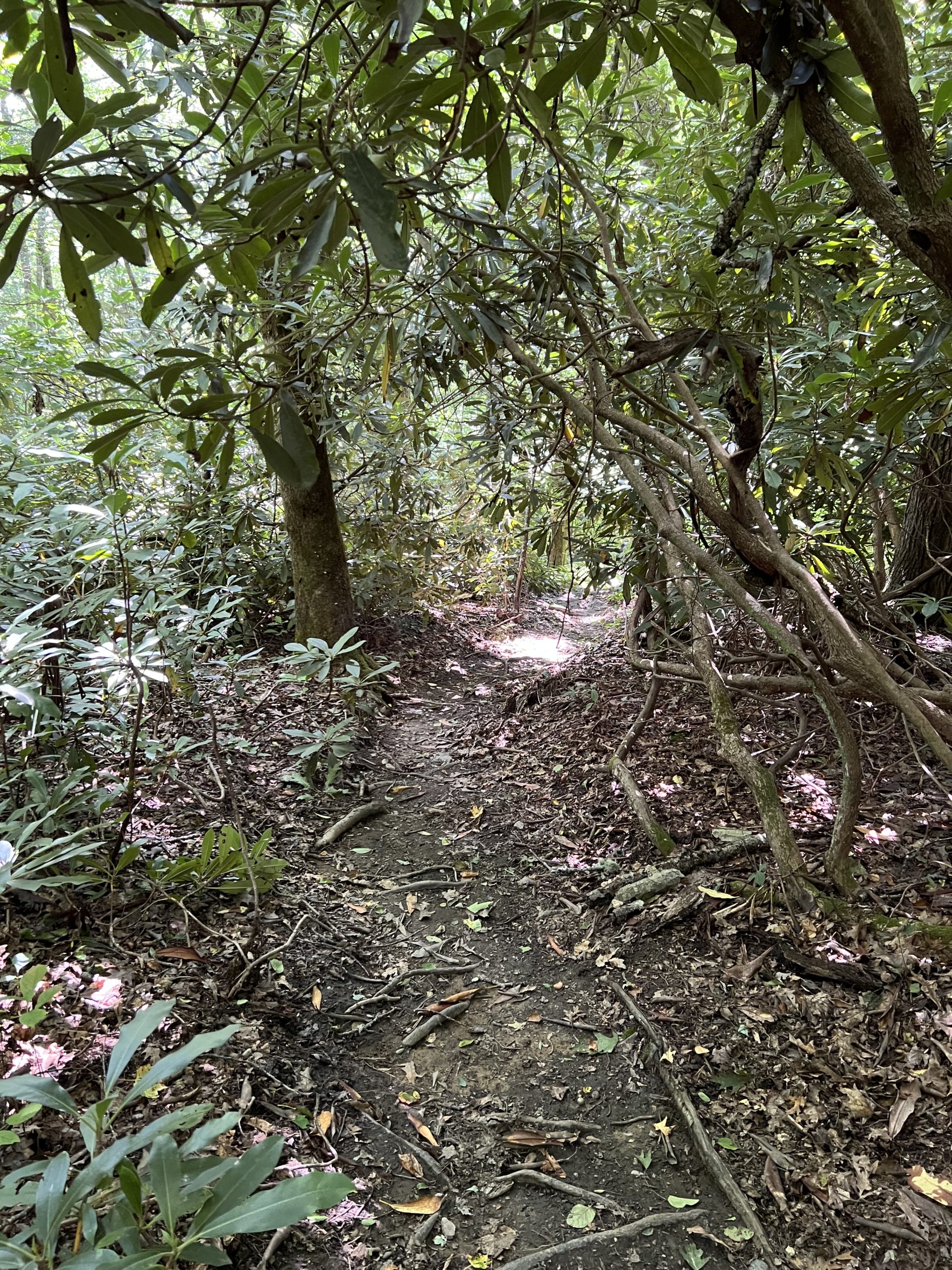
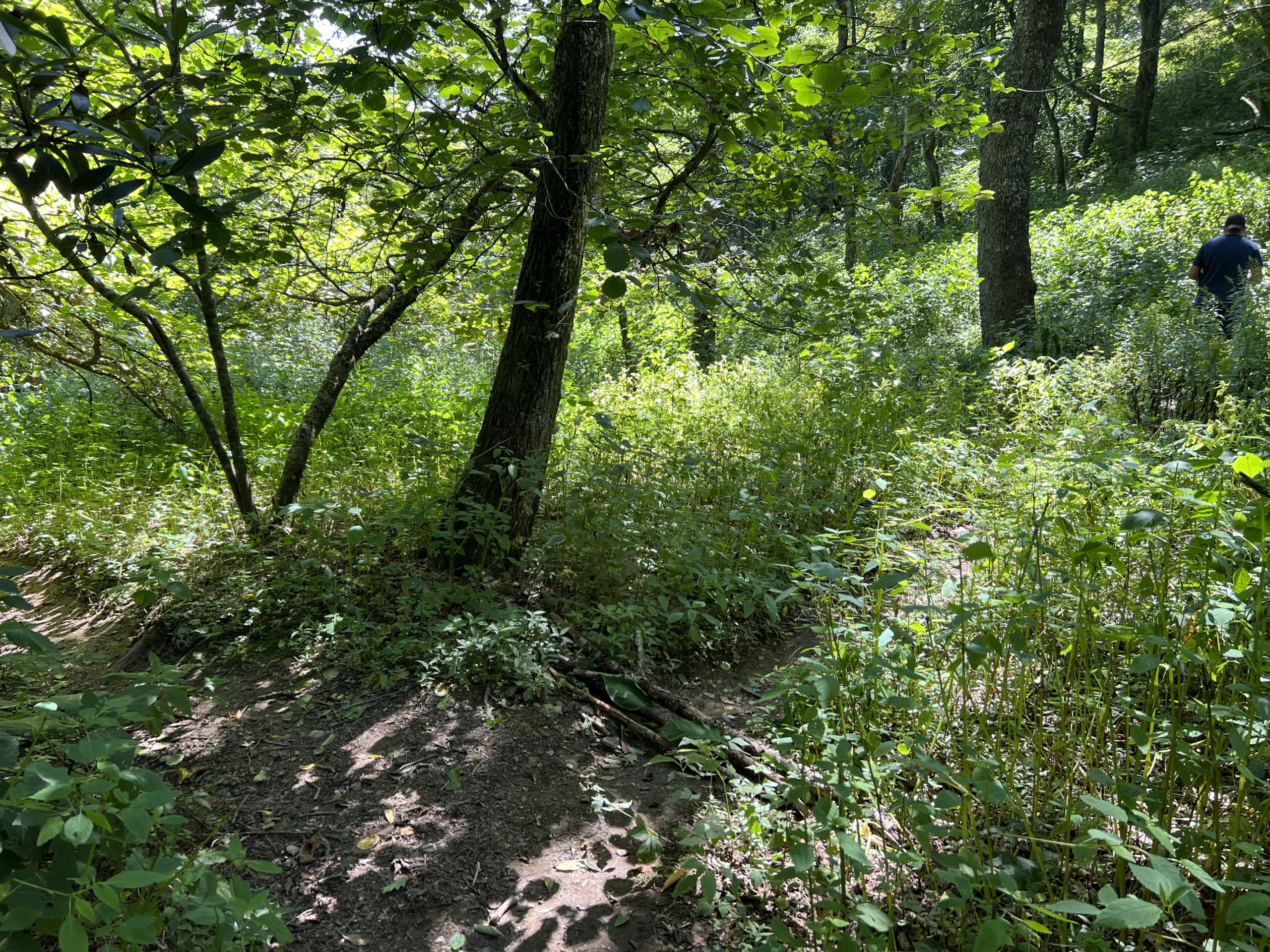
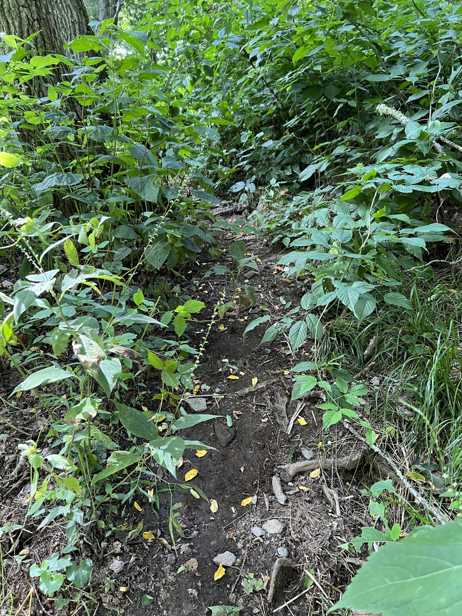
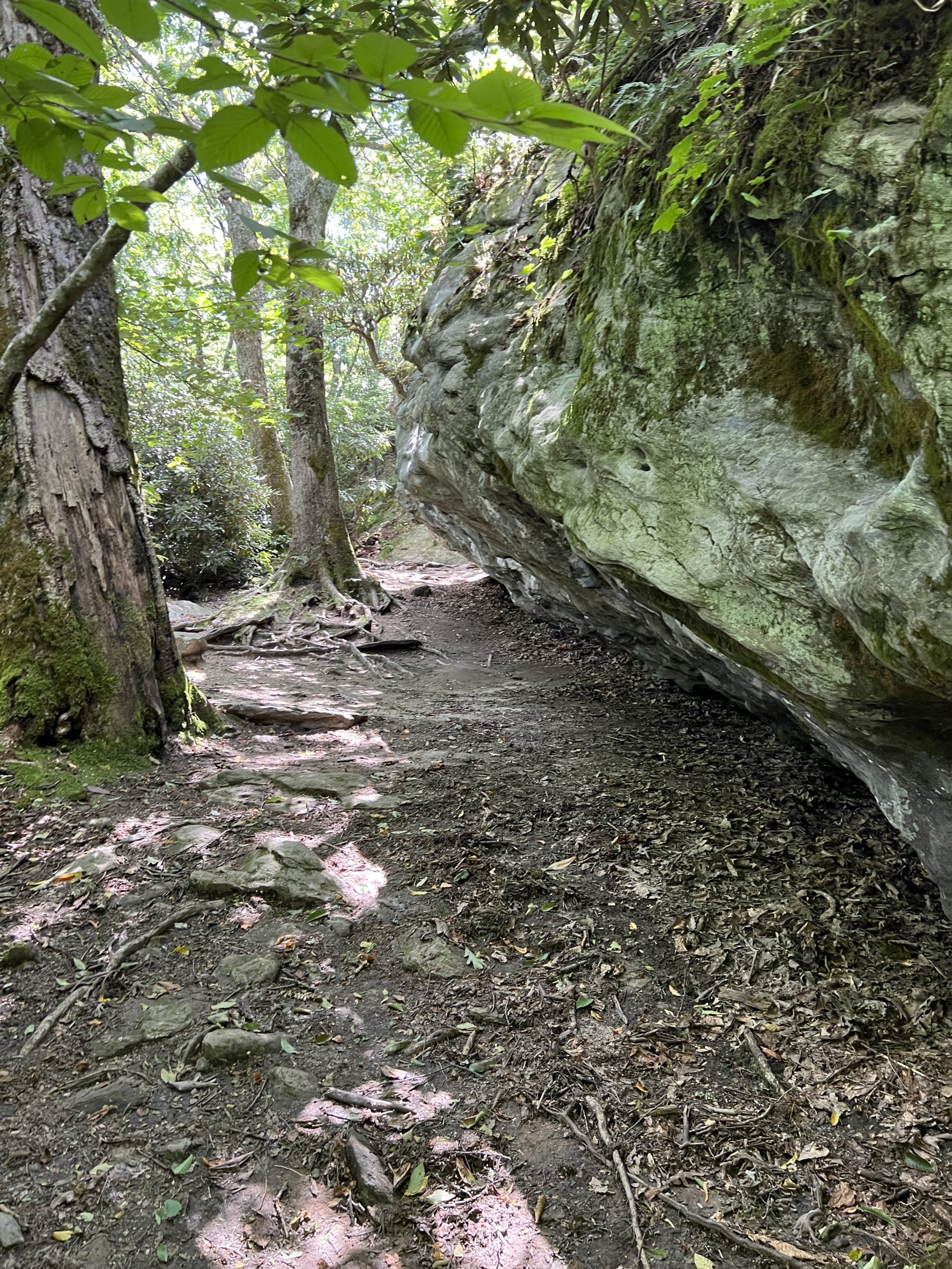
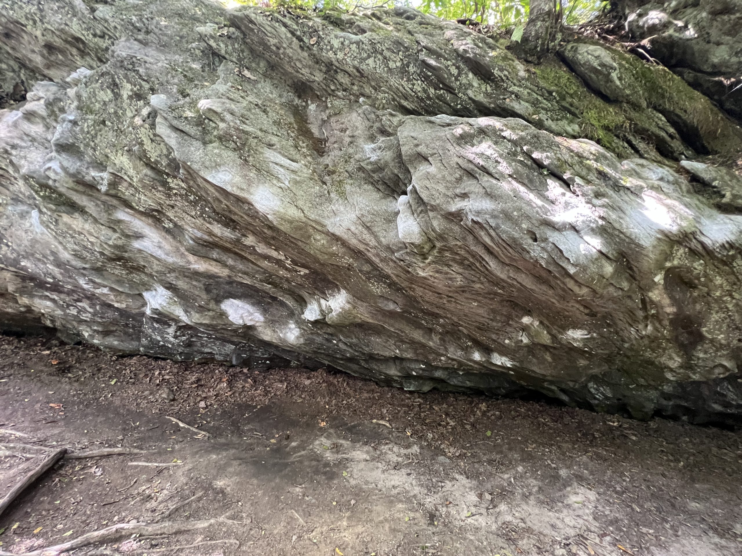
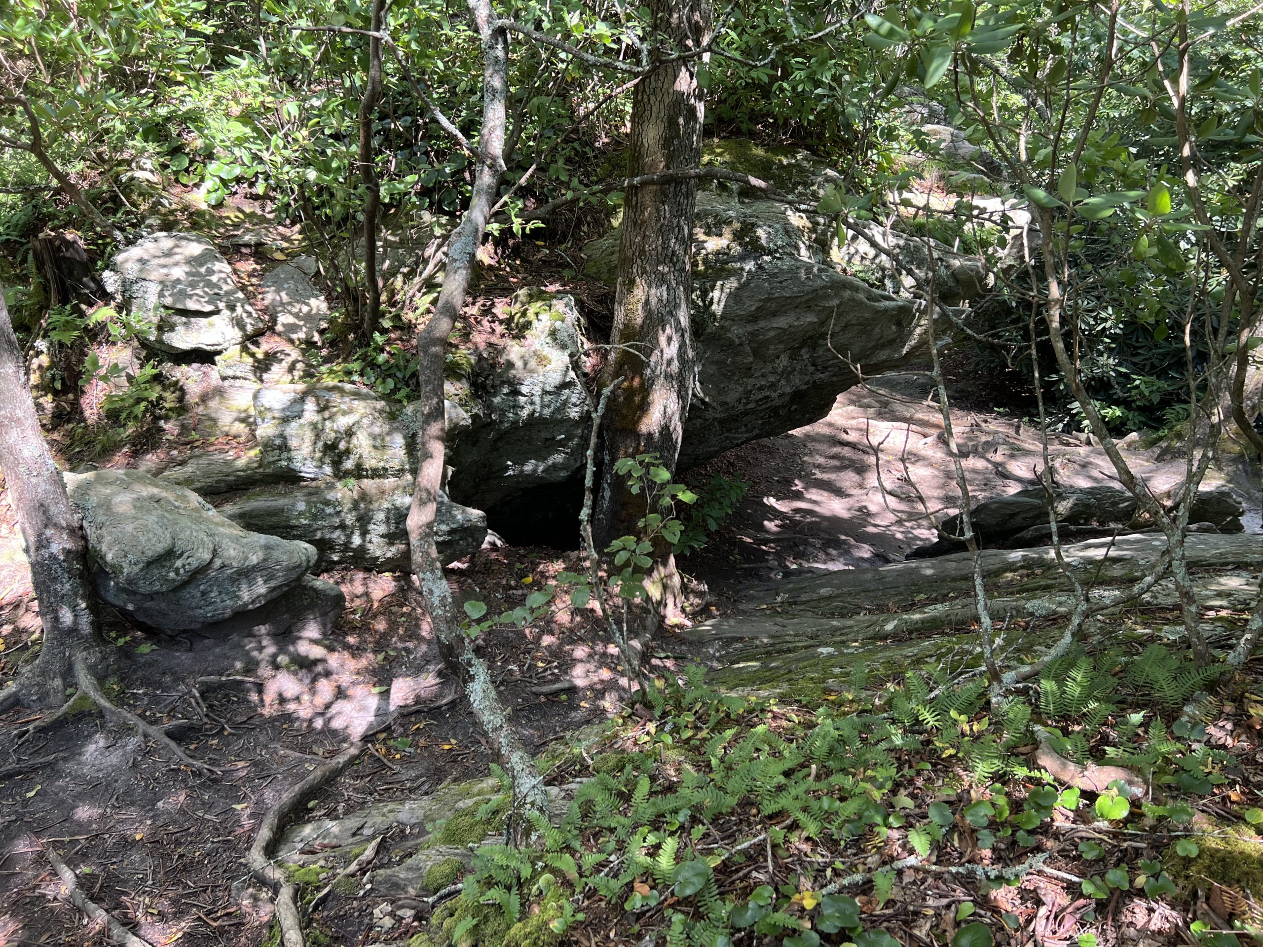
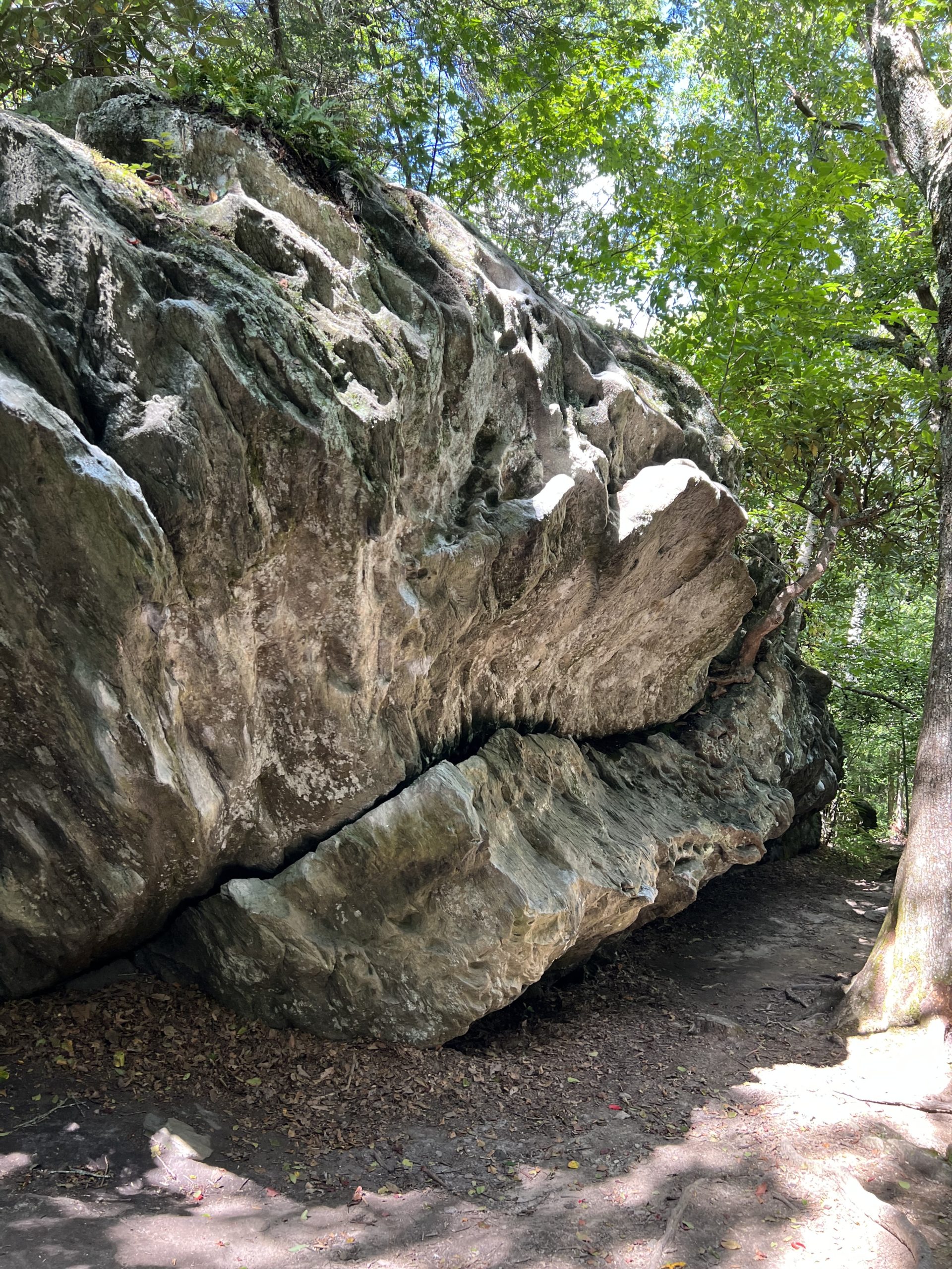
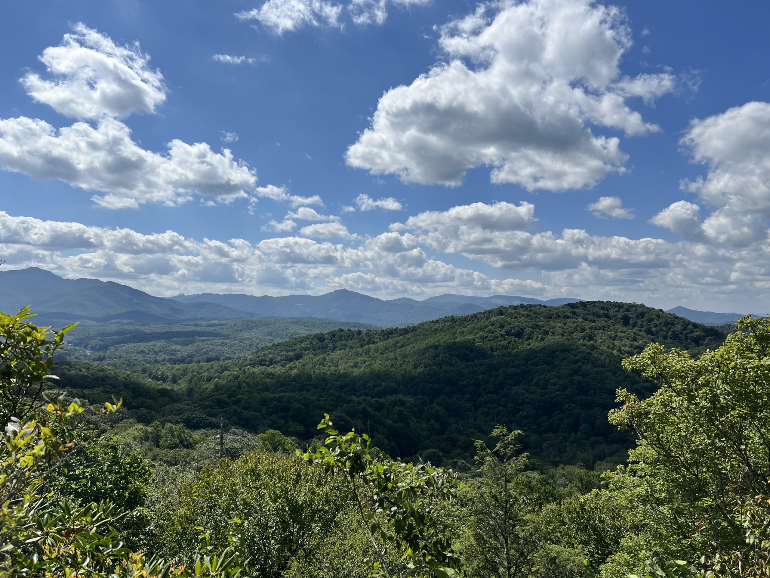
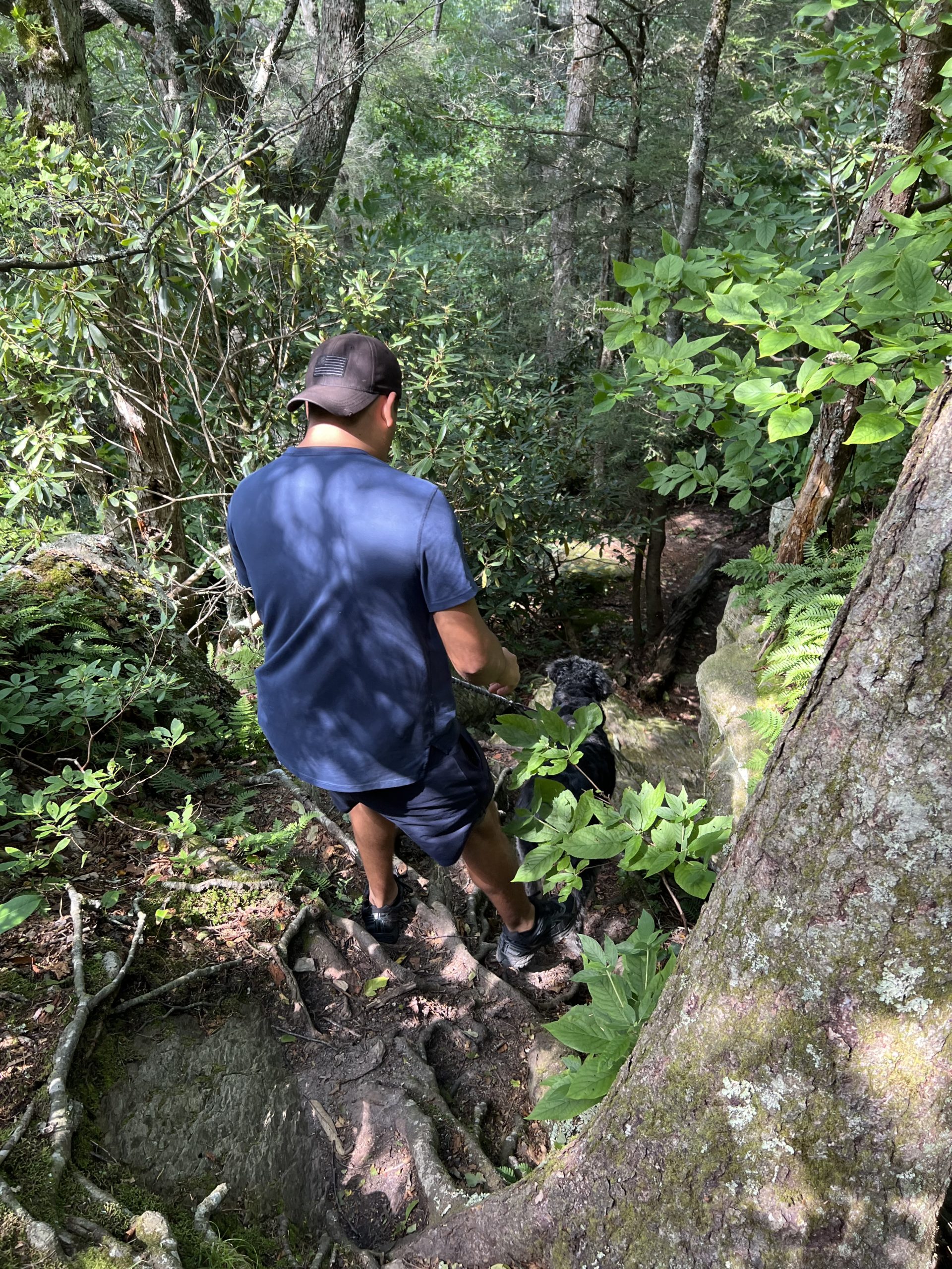
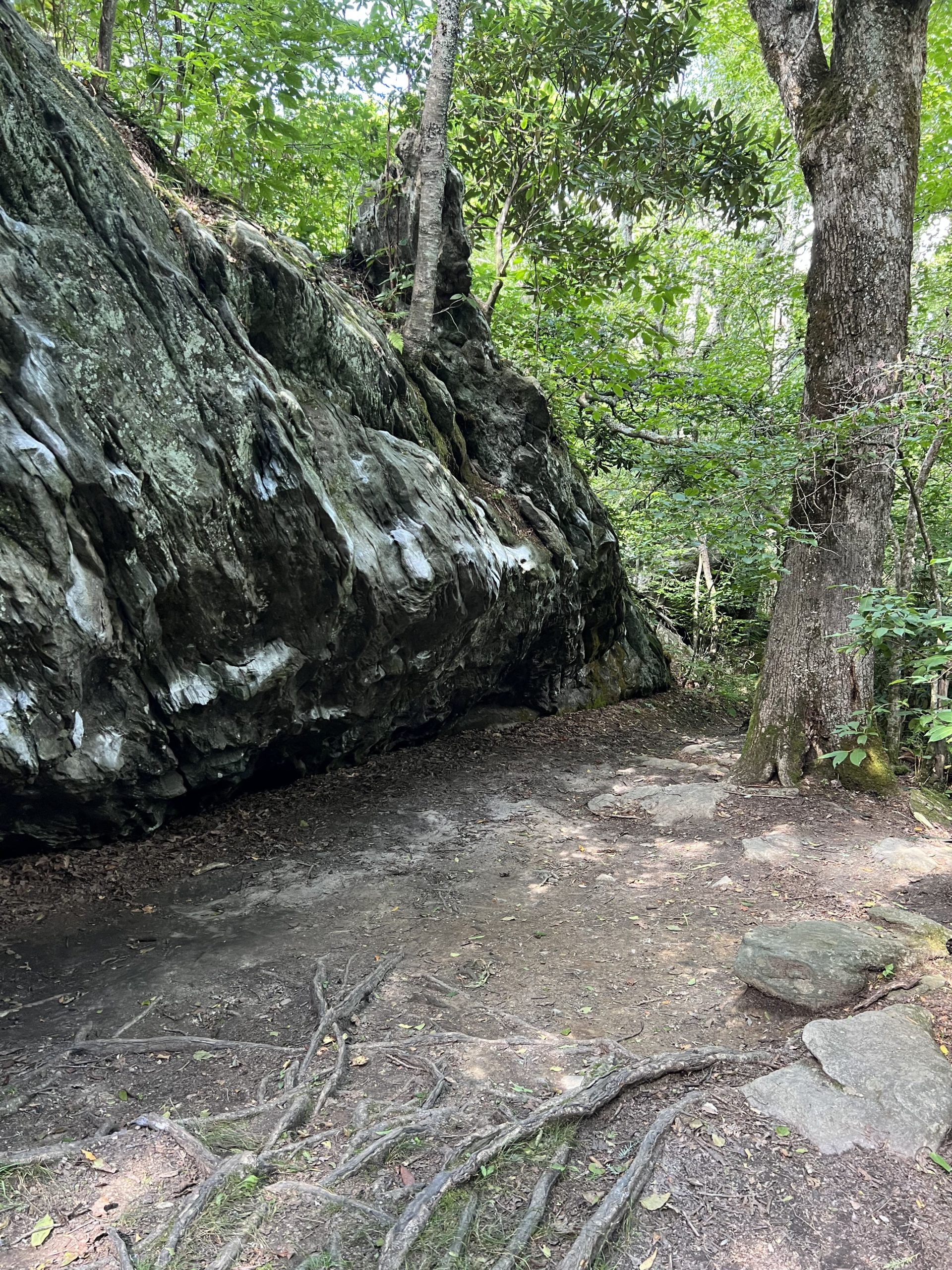
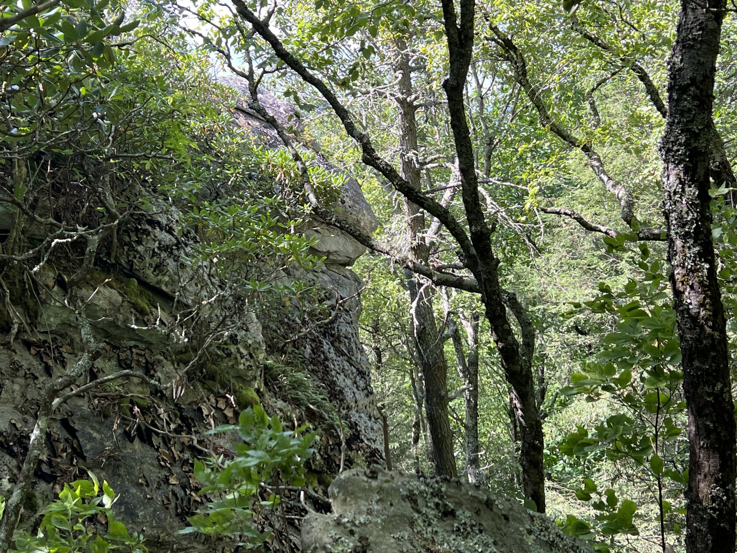
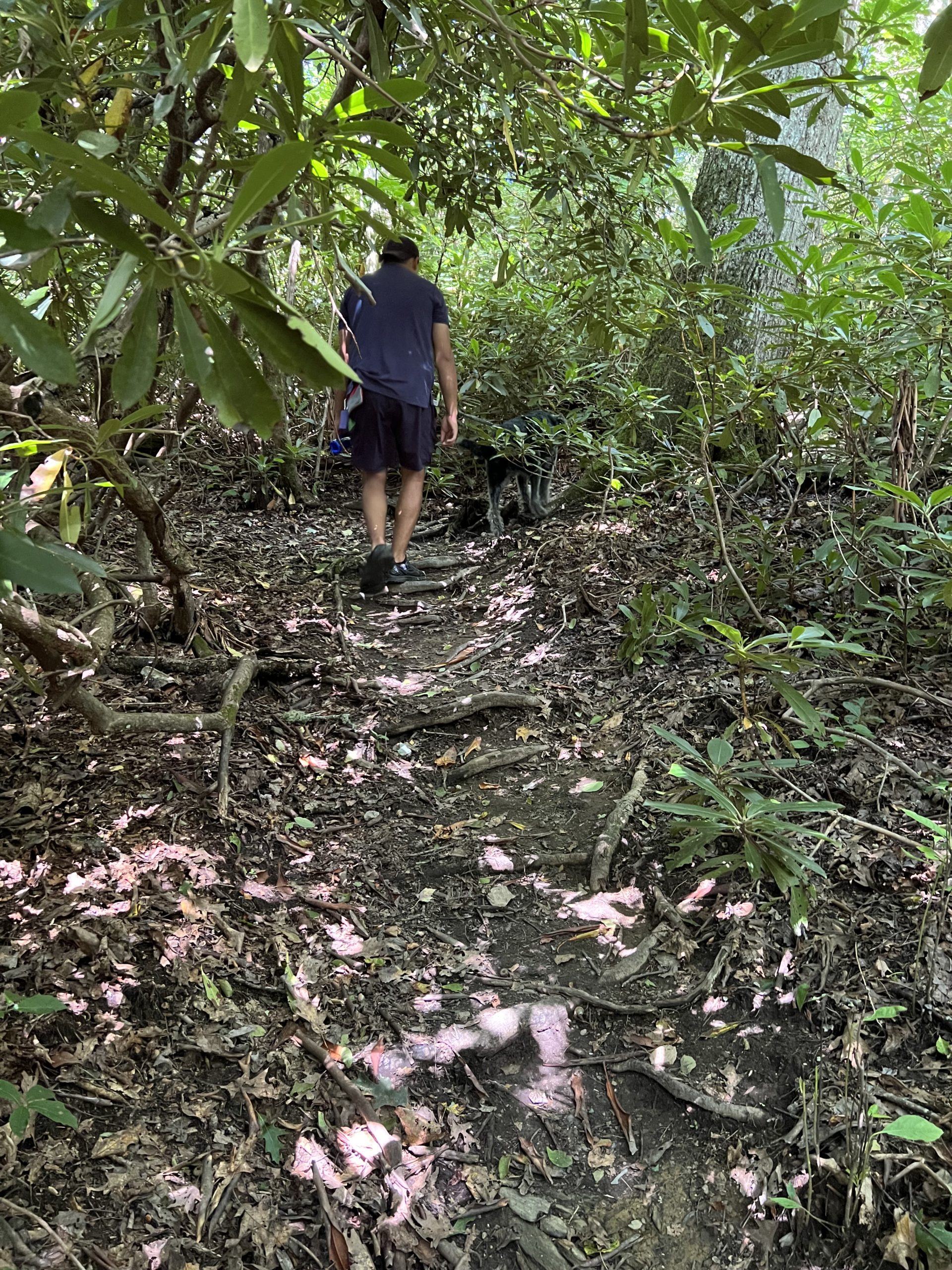
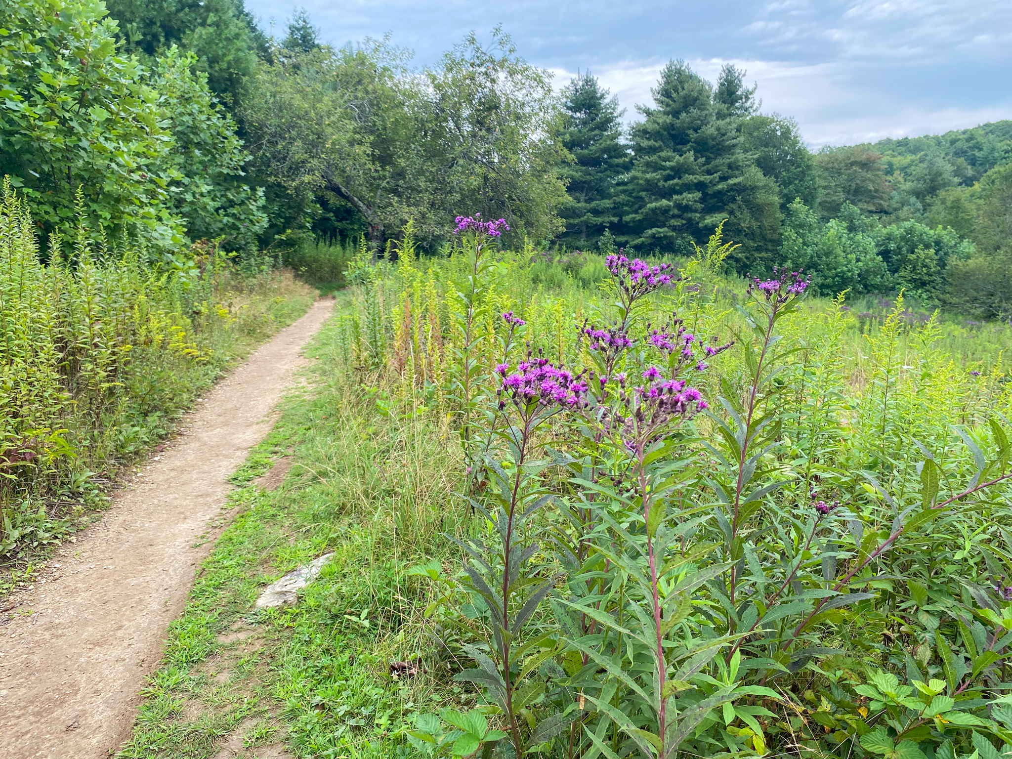
Blowing Rock Boulders
This trail is not very long at all. It is up and down a little but nothing too strenuous until you get to the boulders themselves. Once you reach the bouldering area there is more climbing involved to see the view and get around them. The trail is overgrown in certain areas. It can be seen but the weeds brush against your legs. It is advisable to wear pants for the trail portion. There is also a fork in the trail not too far into the hike. Take the right fork to avoid Stinging Nettle and get to the Boulders. Most days there are people out testing their skills on the boulders and hanging from the rock faces. We just happened to go on a day and time that was quiet. The boulders are covered in chalk marks where people have climbed them over and over again. There is also an impressive view up there but be cautious as it is on a ledge.
Trail Length: 0.25 Mile
Difficulty: Easy to Moderate
Surface: Natural forest floor, some roots and rocks
Trail Use: Hiking, leashed dogs ok, rock climbing
Blaze: N/A
Getting There:
From Blowing Rock, turn onto 221 heading towards Linville. Continue for a mile and pass the turn off for the Parkway. There will be a little church on the right and a Rest Stop on the left. Pull into the rest stop and drive past the main building with restrooms to a secondary parking area. It is there that you will want to park to access the Bouldering trail. The trailhead is unmarked but noticeable. This is not a loop, the trail goes in and must be followed out too.
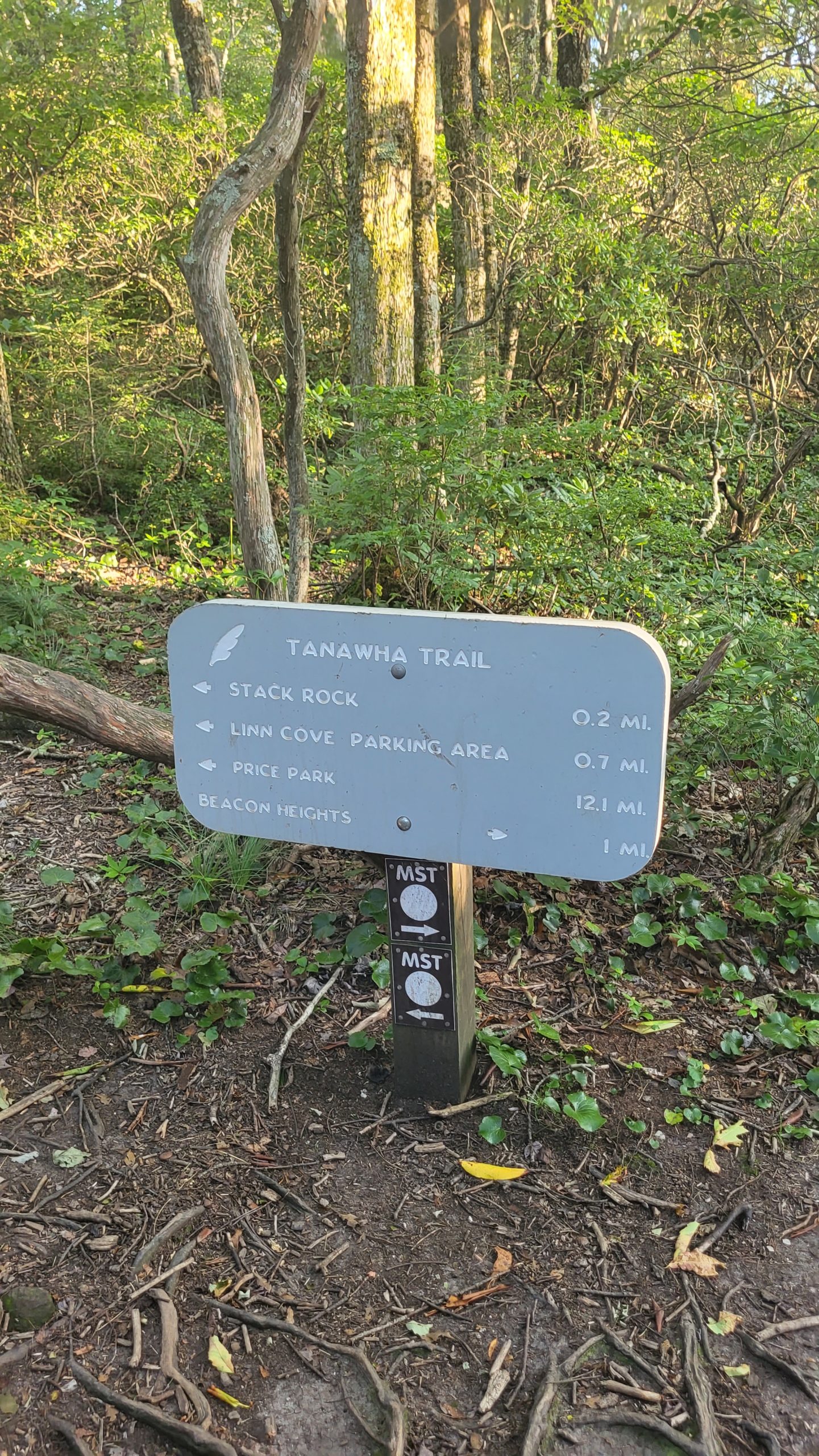
Tanawha Trail- Stack Rock to Wilson Creek Overlook
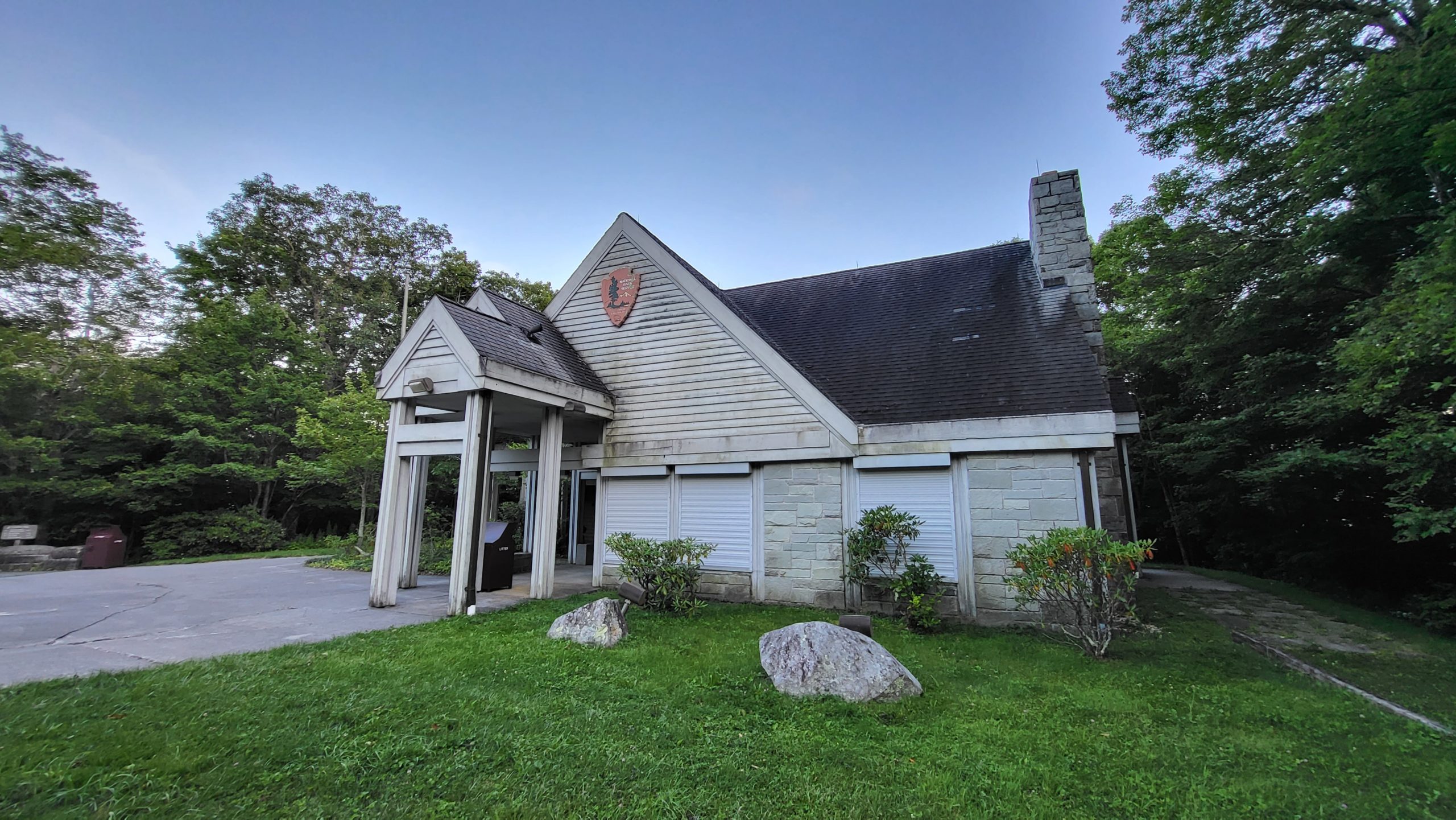
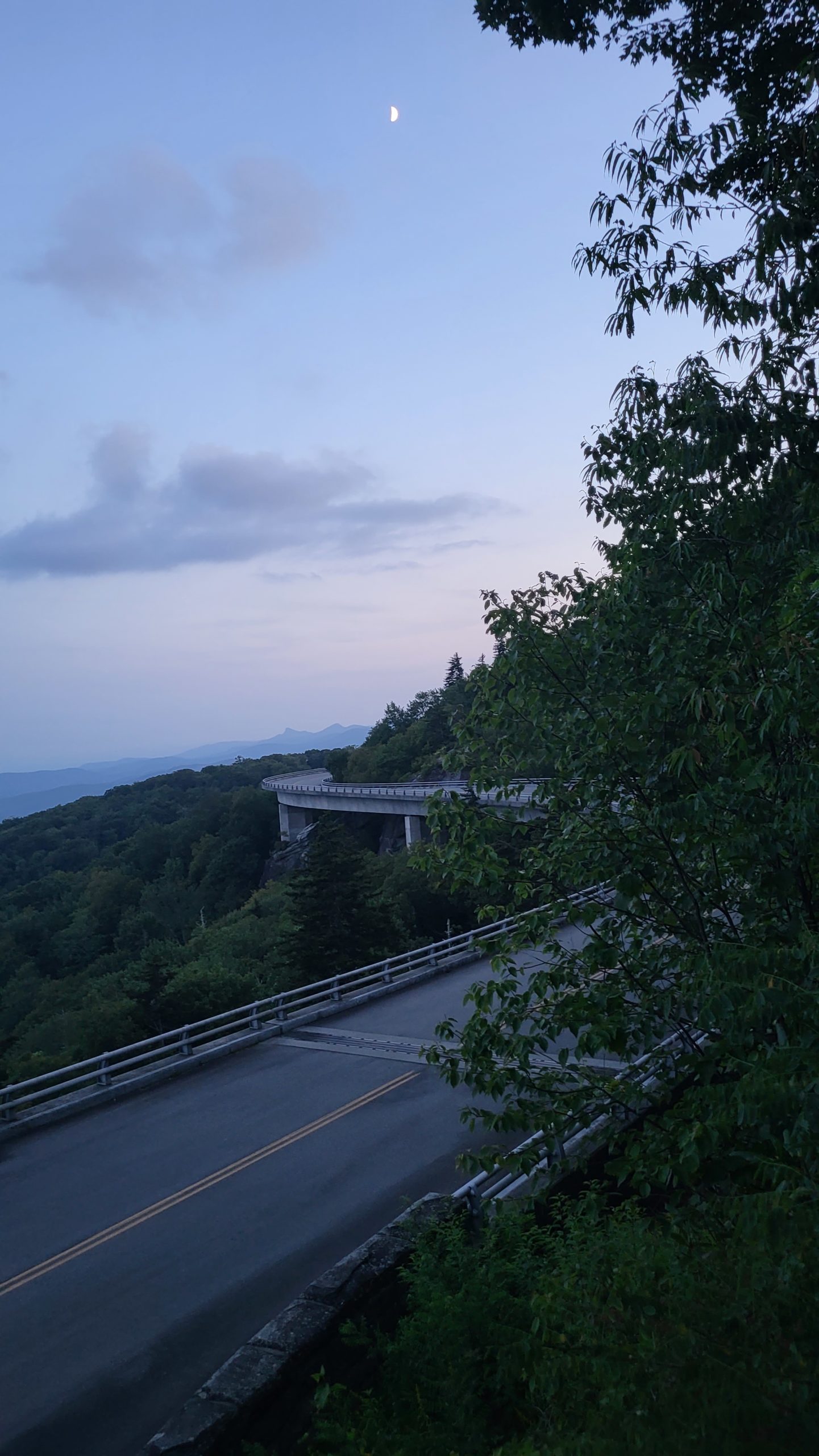
This portion of the Tanawha Trail offers a challenging hike with unique views of the Linn Cove Viaduct. Ambling between giant boulders and over several tributaries and springs, the path ascends and descends the southern slopes of Grandfather Mountain. This route passes by the Linn Cove Visitor Center, which offers an additional access point to the trail if a shorter or more accessible hike is preferred.
Trail Length: 1.9 miles
Difficulty: Moderate to Strenuous
Surface: varies- rock, dirt, timbers, boardwalk
Trail Use: hiking, leashed pets ok
Blaze: white feather
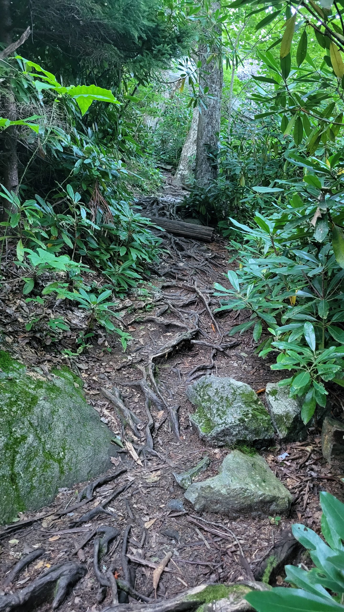
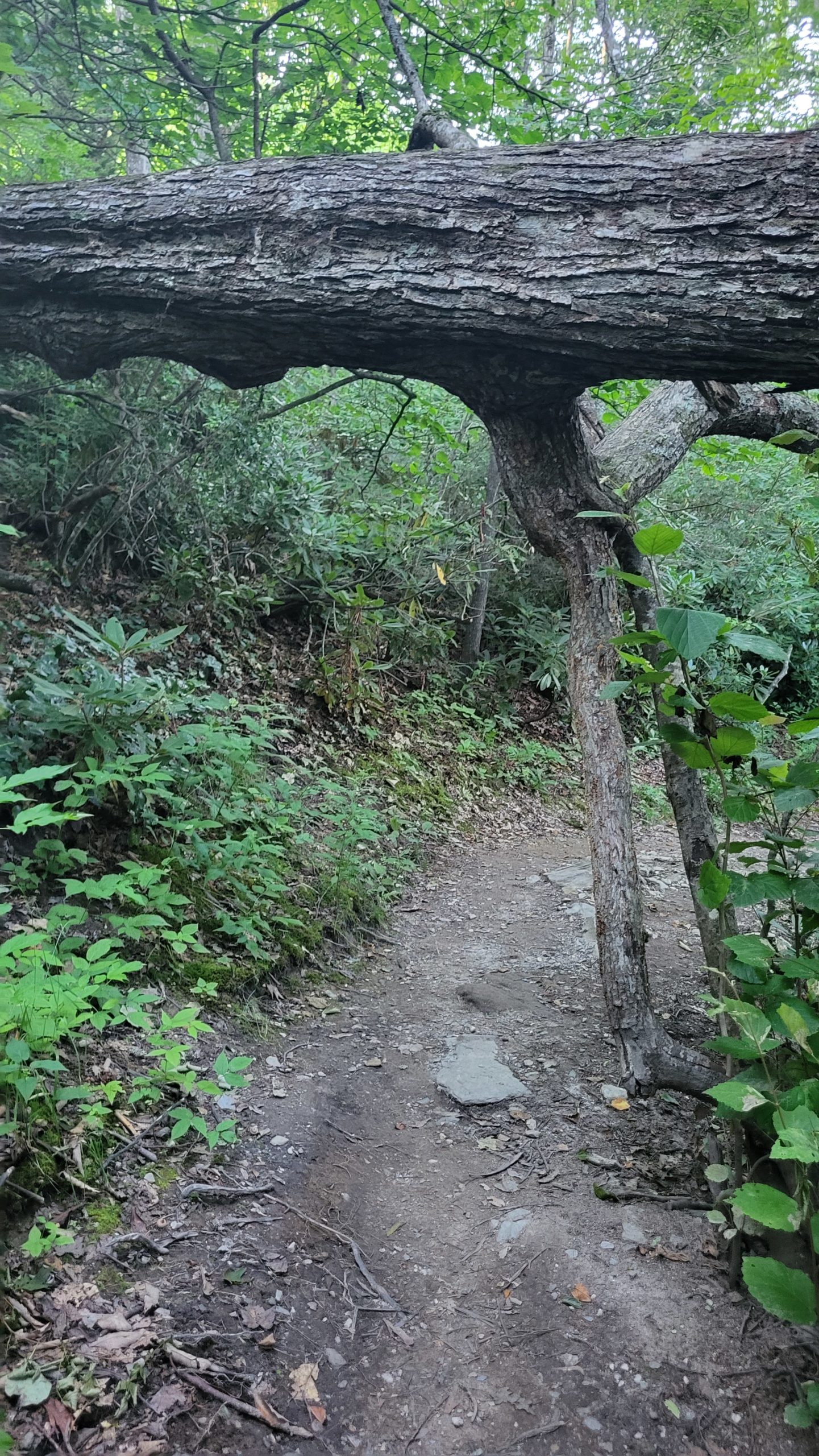
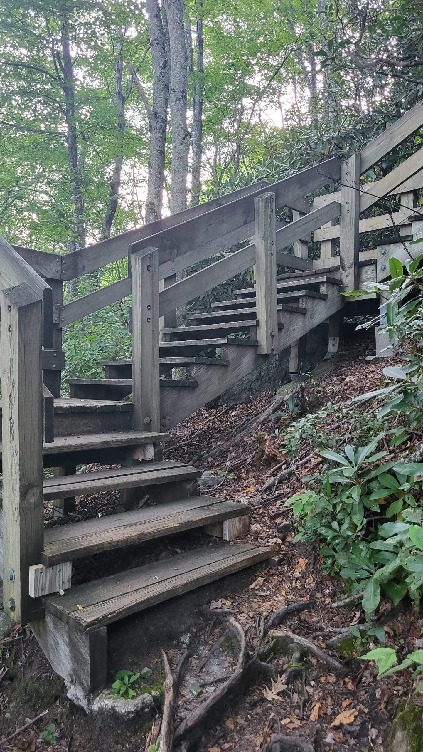
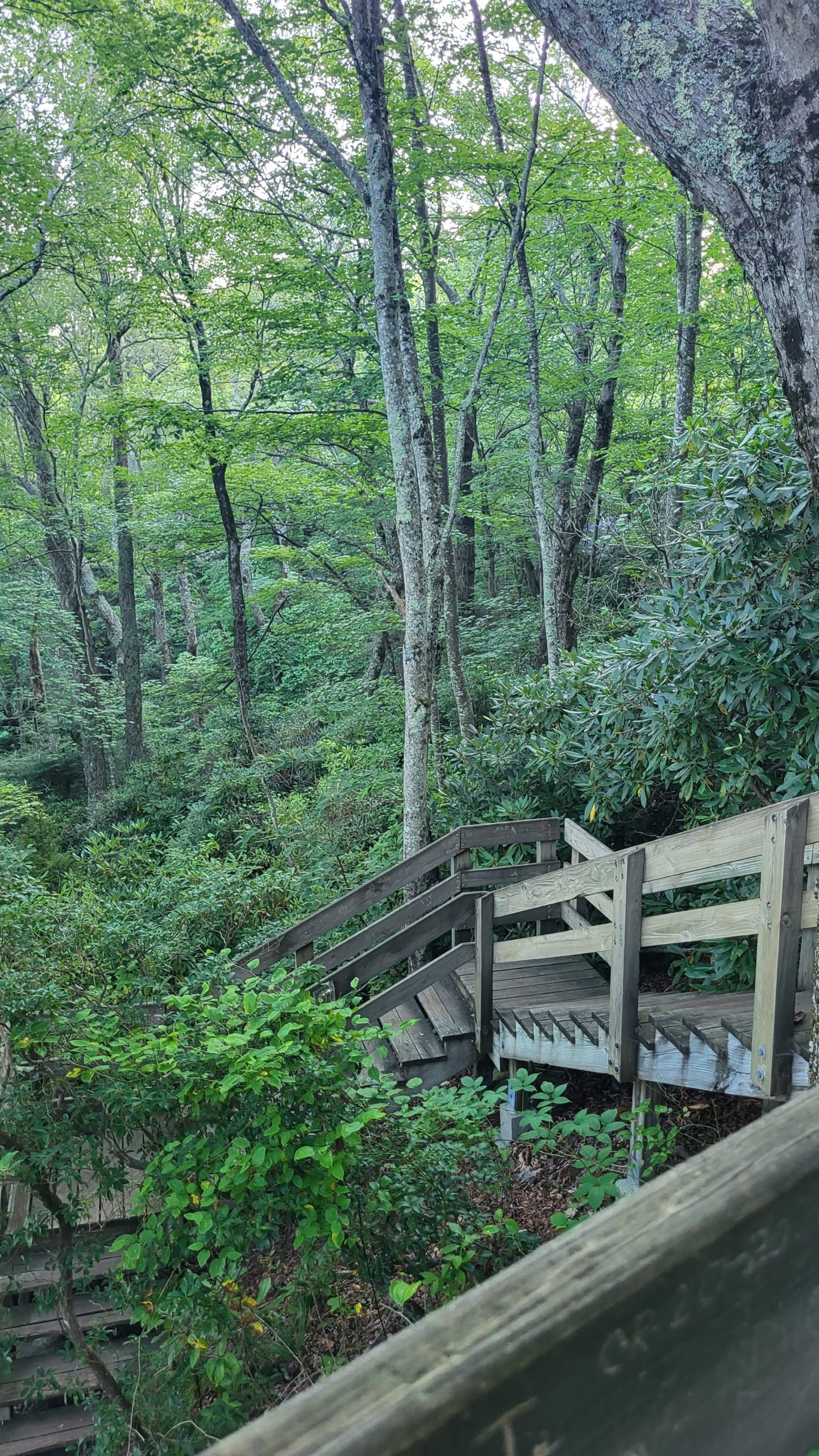
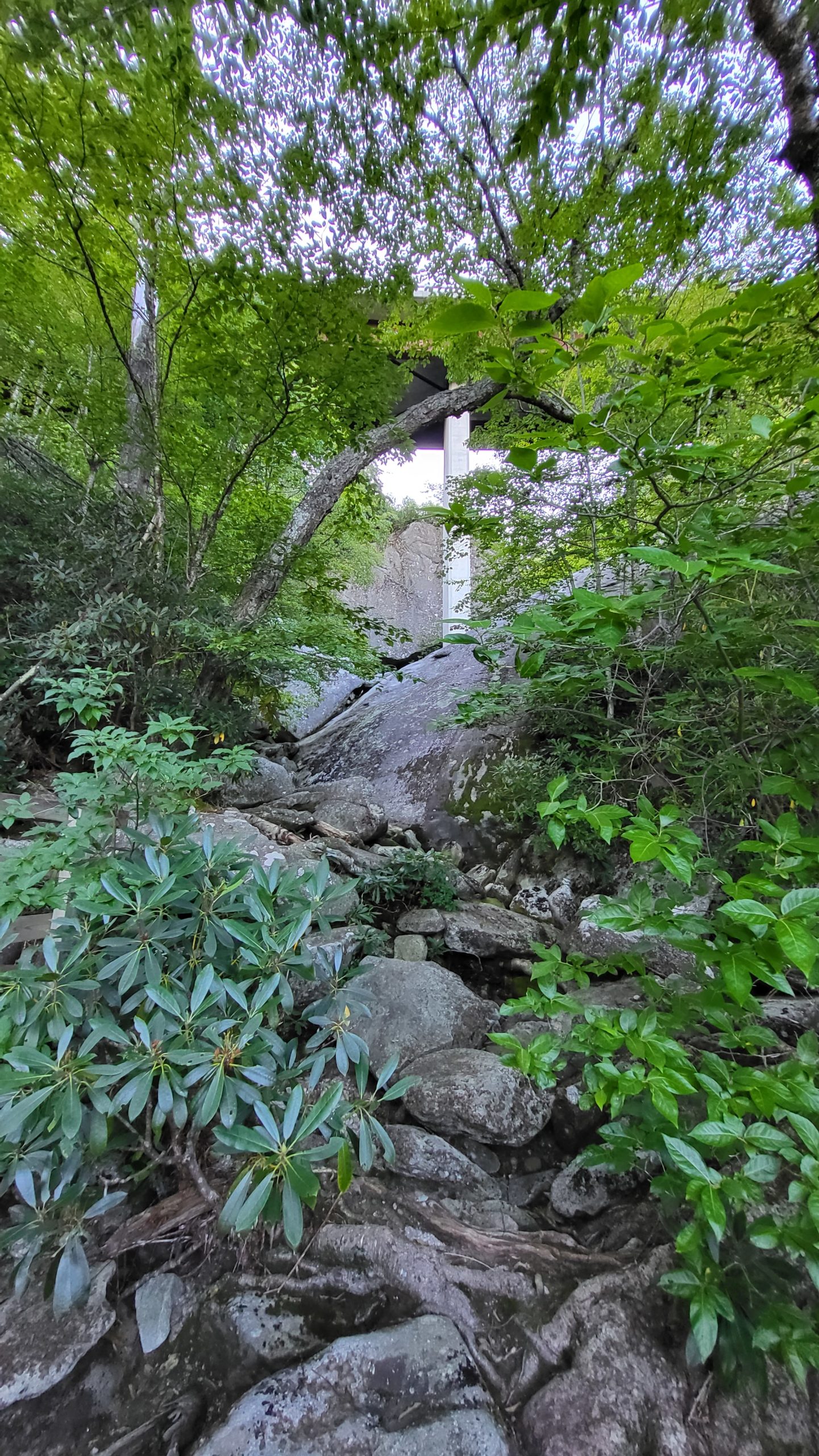
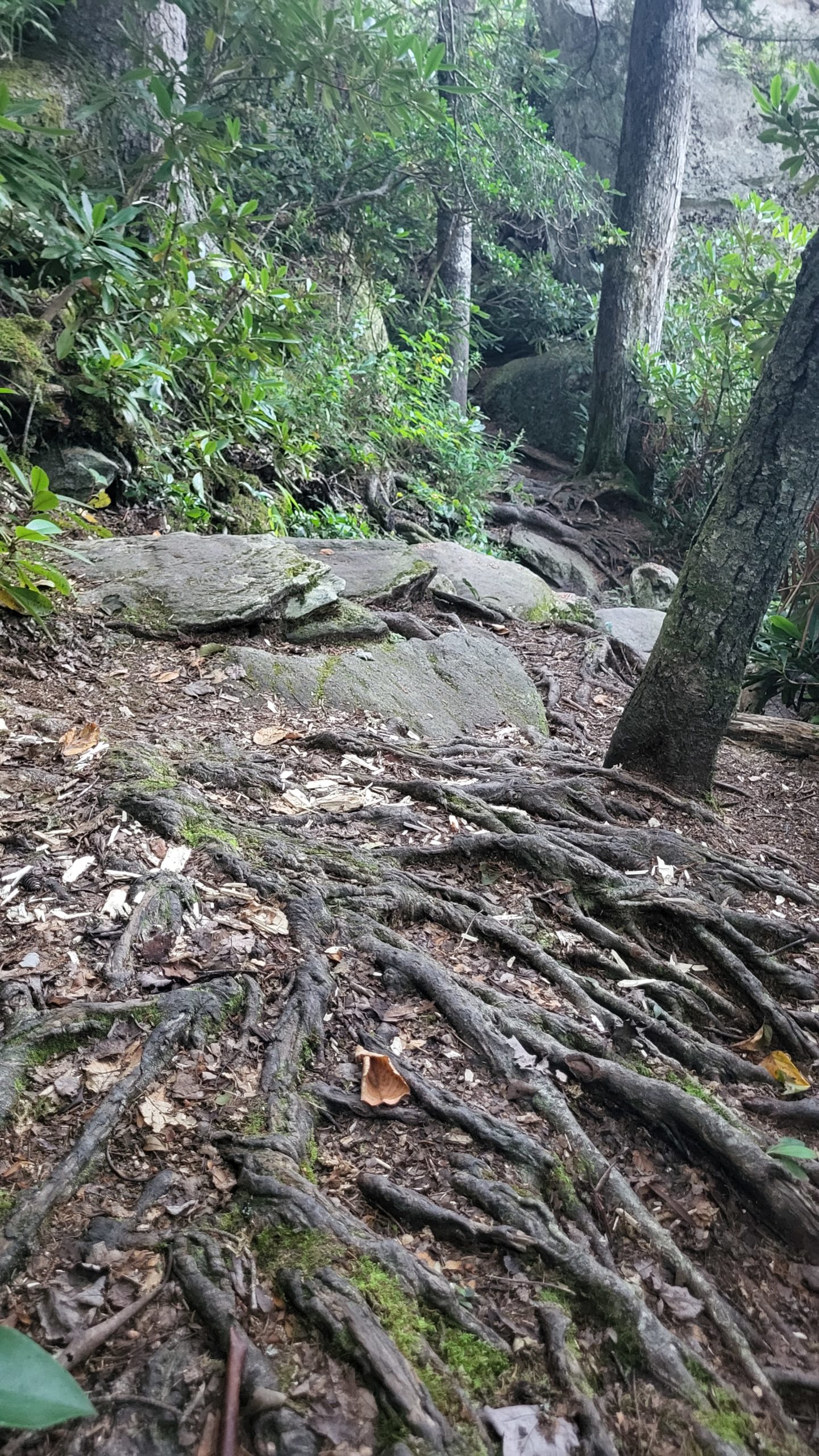
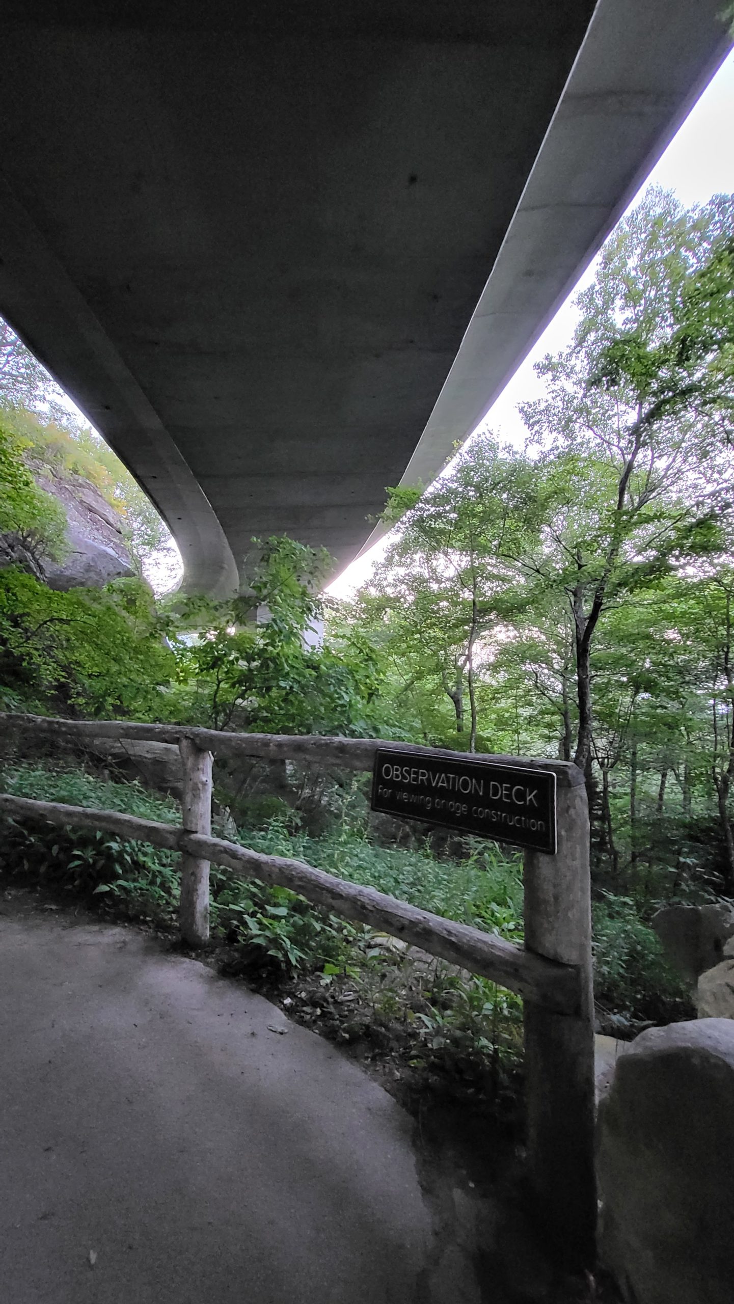
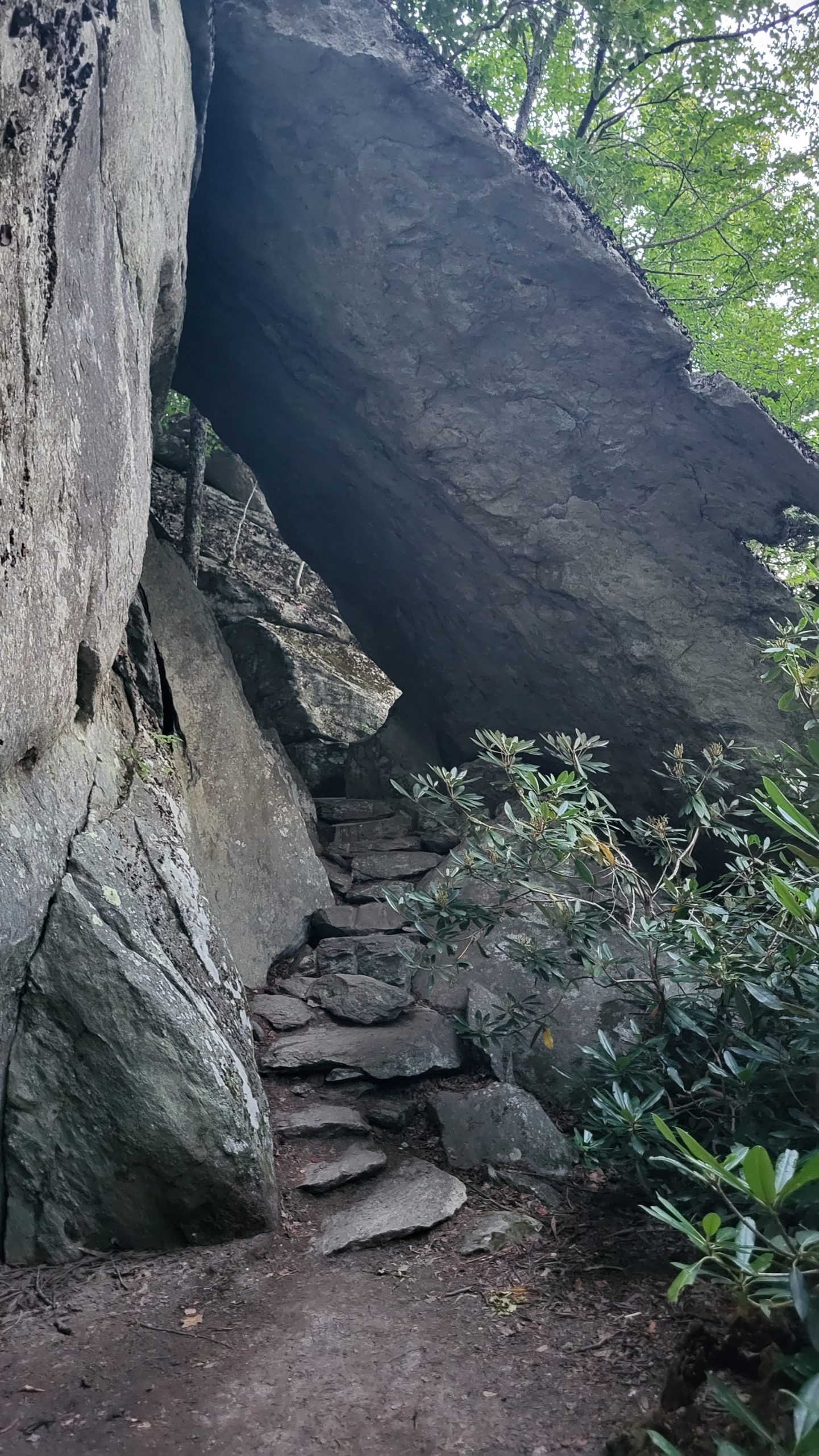
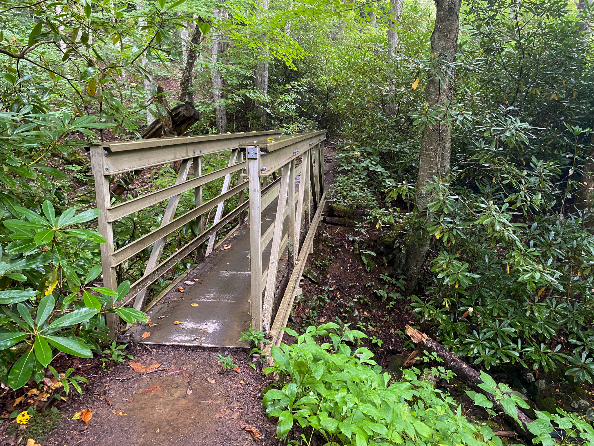
Access Tanawha Trail from Stack Rock Parking Area and turn left at the mileage sign to head toward Linn Cove Parking Area. The first portion of the trail is well-packed dirt but soon shifts to large rocks interspersed with lots of smooth rhododendron roots. Access through particularly steep sections is aided by multi-level wooden boardwalks and stairs. Look up while crossing the first footbridge – the Blue Ridge Parkway crosses a larger bridge overhead. After a short climb to a wide view toward Hawksbill Mountain, the trail continues into a damp forest area, where several springs encourage a colorful array of wildflowers. This late summer ramble featured pink turtleheads, crimson bee balm, sunny coneflowers, fluffy white snakeroot and more. As the trail approaches the Linn Cove Visitor Center (temporarily closed during 2023 for renovations), it becomes an easier walking path. From the parking area, the trail is paved for a distance, allowing easy access to the view of the underside of the Linn Cove Viaduct. Here, the trail is surrounded by more blooms, bright orange jewelweed and blue bellflowers among them in August.
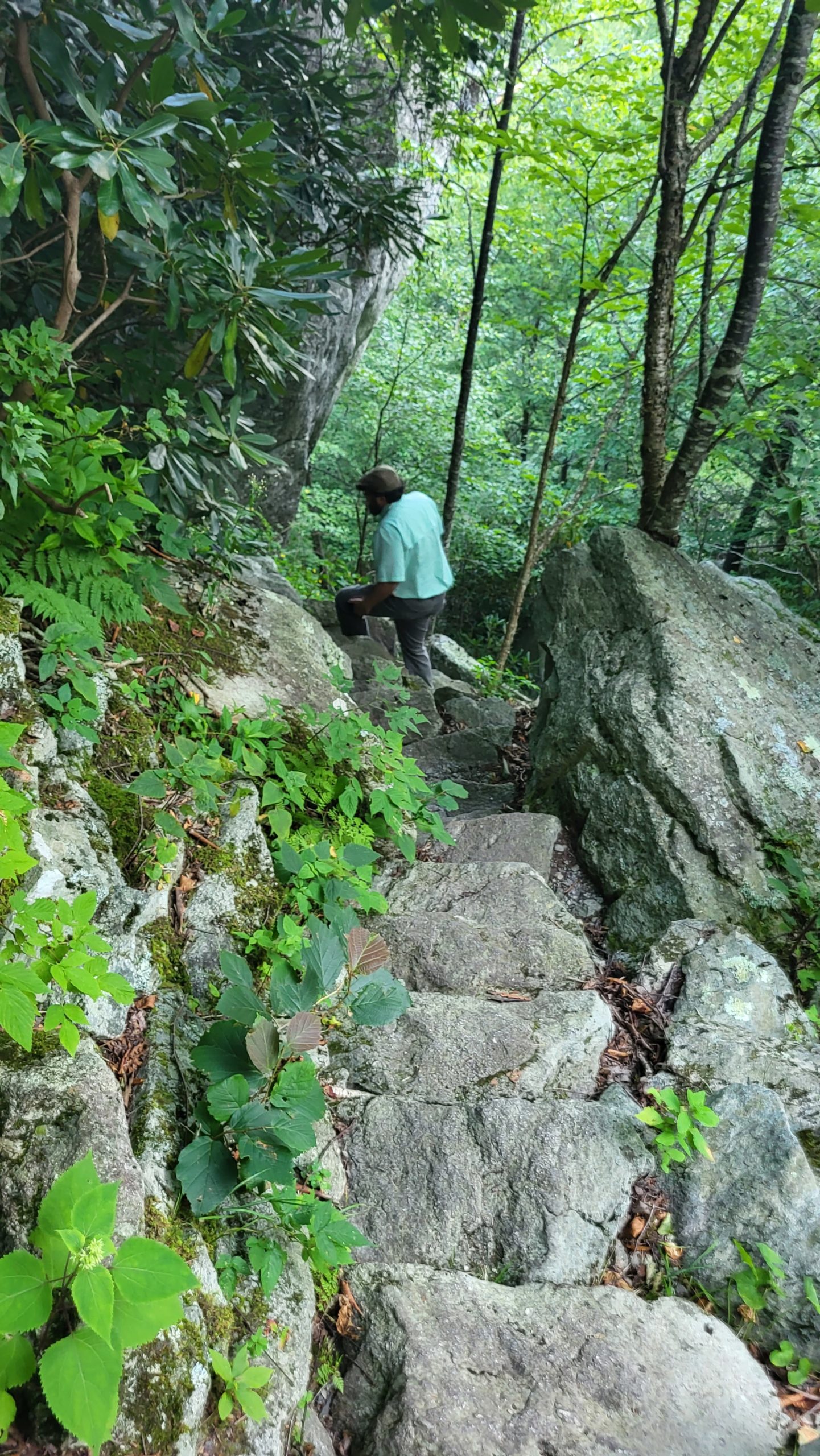
Once the pavement ends, the trail again clambers over and between massive boulders, with various stairways constructed of slabs of stone. In a short distance, a trail sign for Tanawha Trail marks the location of a short spur trail to the right. It leads to an iconic view of the Viaduct, seen in many photos! Returning from the spur trail, Tanawha Trail continues toward Wilson Creek to the right. This portion of the trail, about ¾ mile, is an appealing run over more rock slabs, thick roots, and yet another footbridge over a prominent stream. The trail begins a notably sustained decline as it approaches the spur trail for the Wilson Creek overlook parking, which intersects at a mileage sign. The spur trail goes down the slope to the right, with Wilson Creek flowing on the left. It passes under the Wilson Creek Bridge, keeping to the right to become a narrow footpath. The trail ends with a set of stone steps that lead up to the Overlook parking area.
Plan about 2 hours for the trail one way. If your group can use two vehicles, you can park them at Stack Rock parking area and Wilson Creek Overlook to take the trail in one direction as we did.
Getting There:
Stack Rock parking area is at milepost 305.2 on the Blue Ridge Parkway. From Blowing Rock, take the Blue Ridge Parkway south toward Linville about 12 miles. If using a second vehicle to take a one-way hike, park one at Wilson Creek Overlook at milepost 303.6.
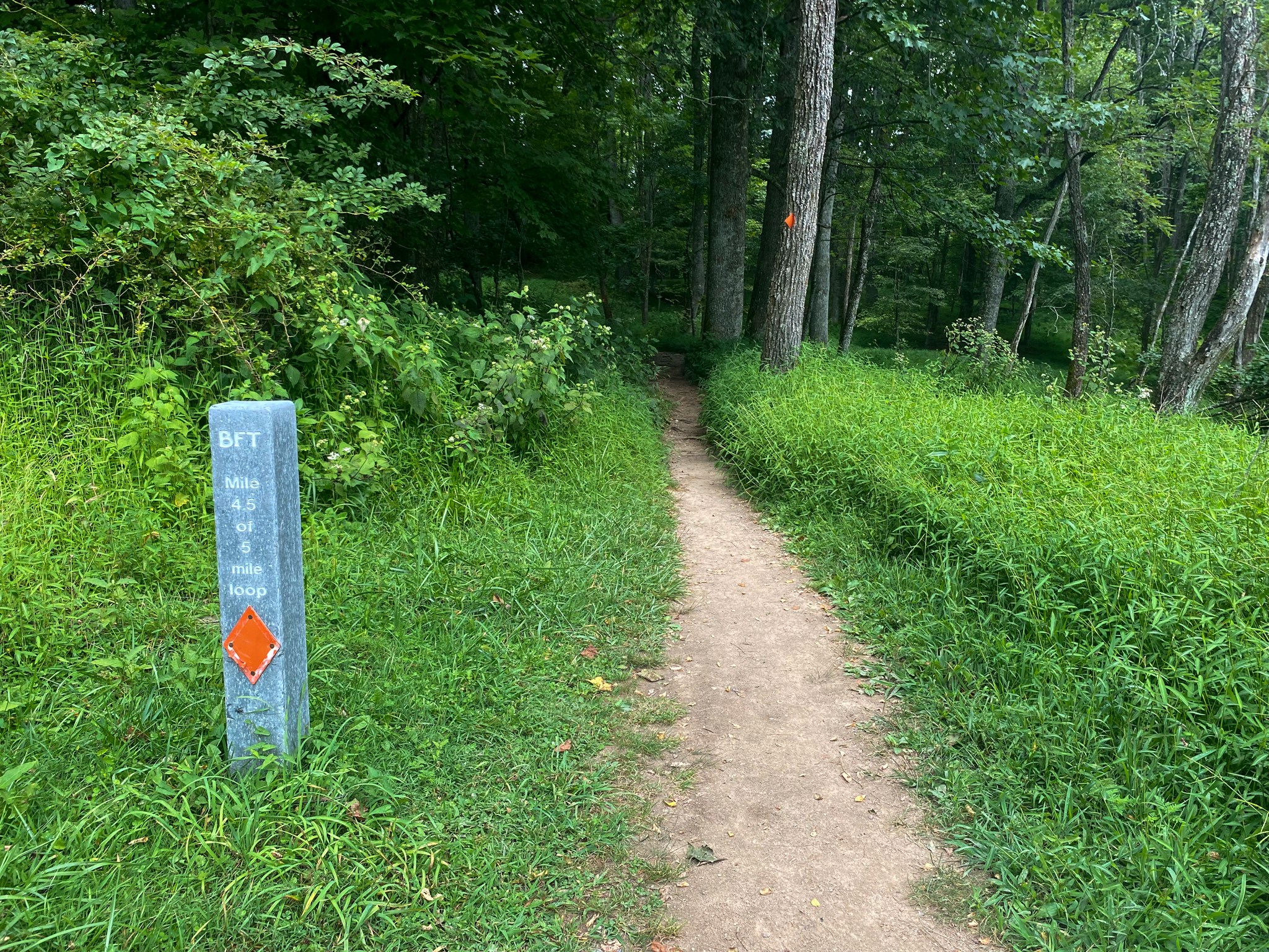
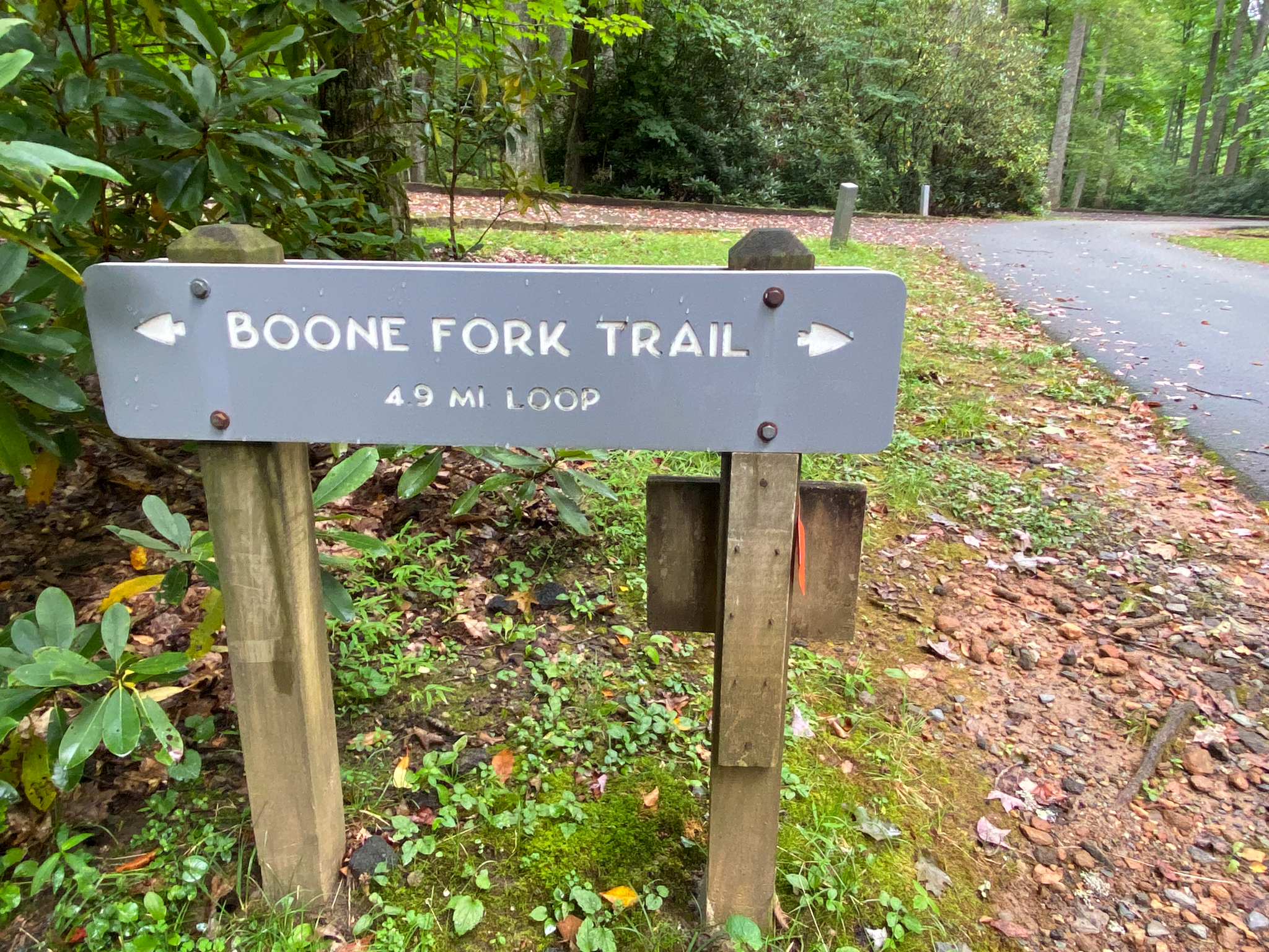
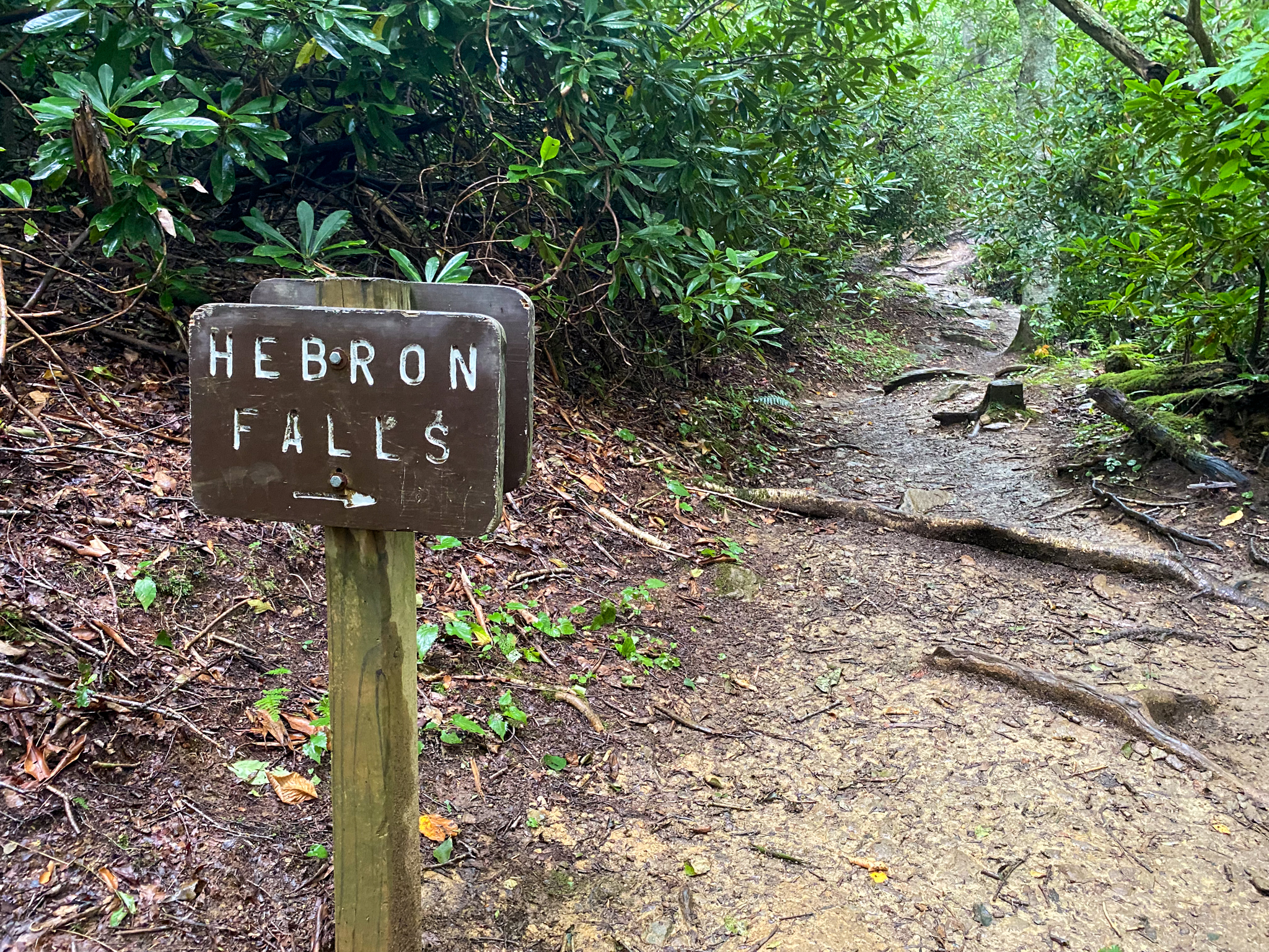
Boone Fork Trail
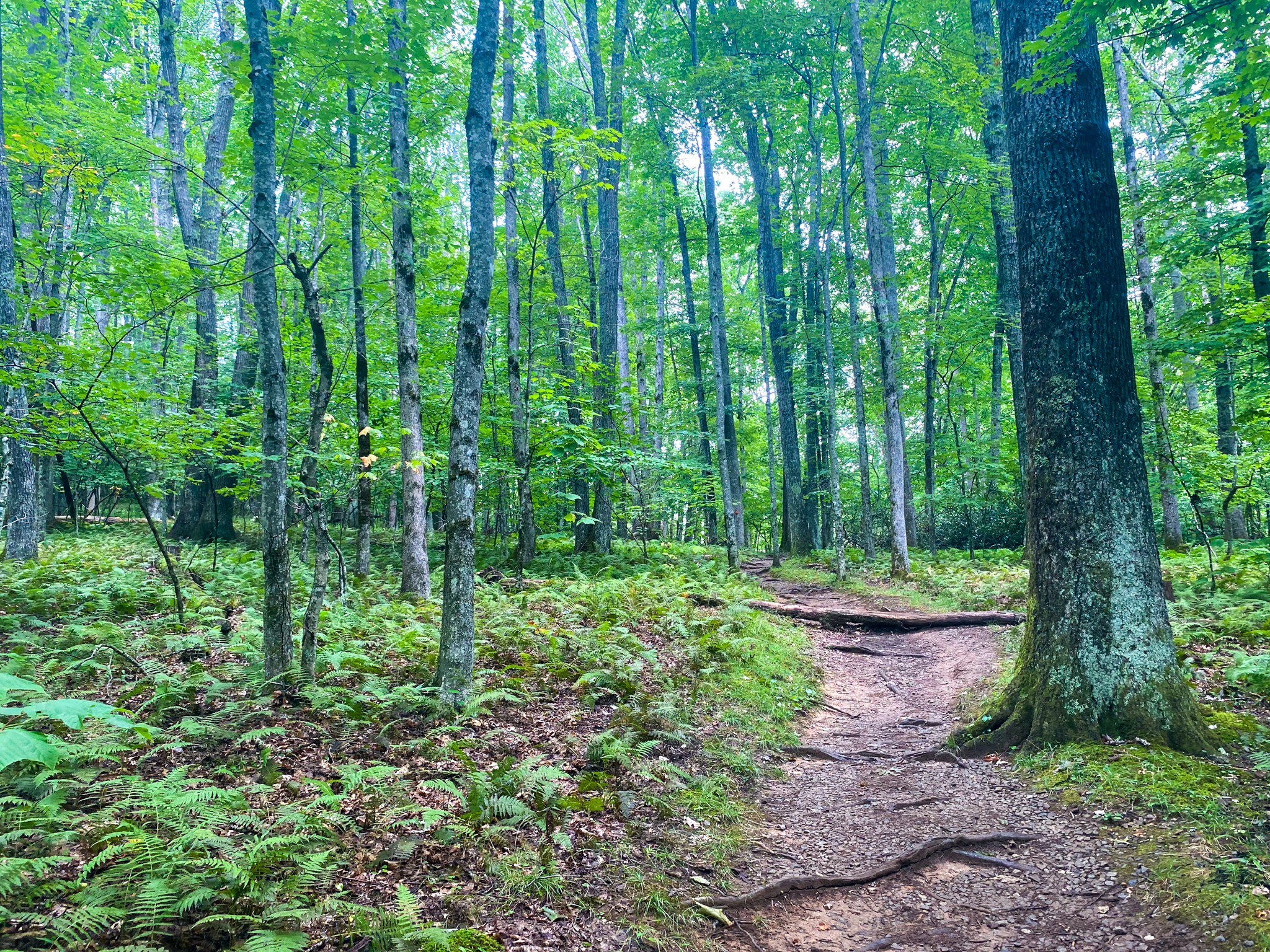
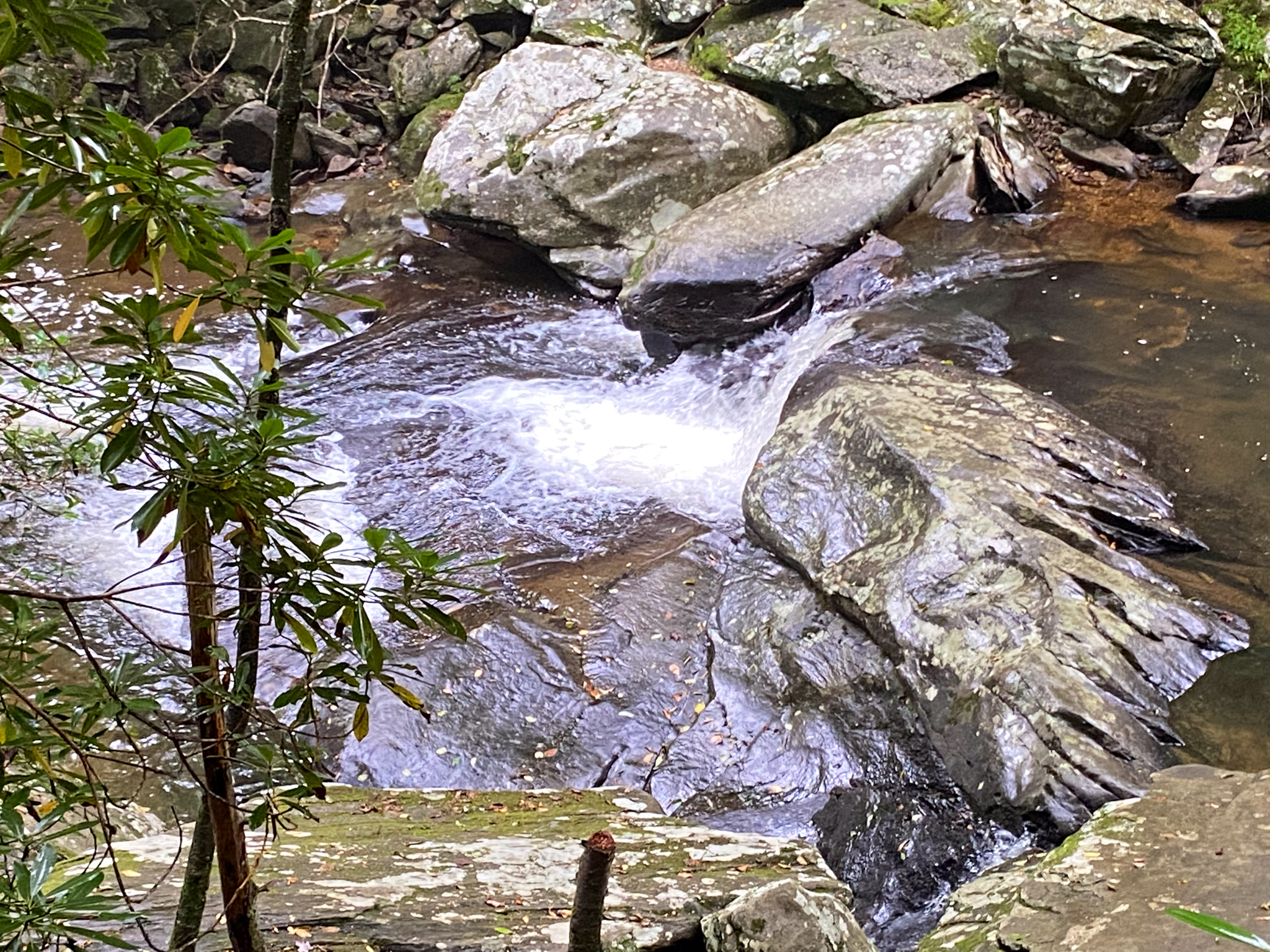
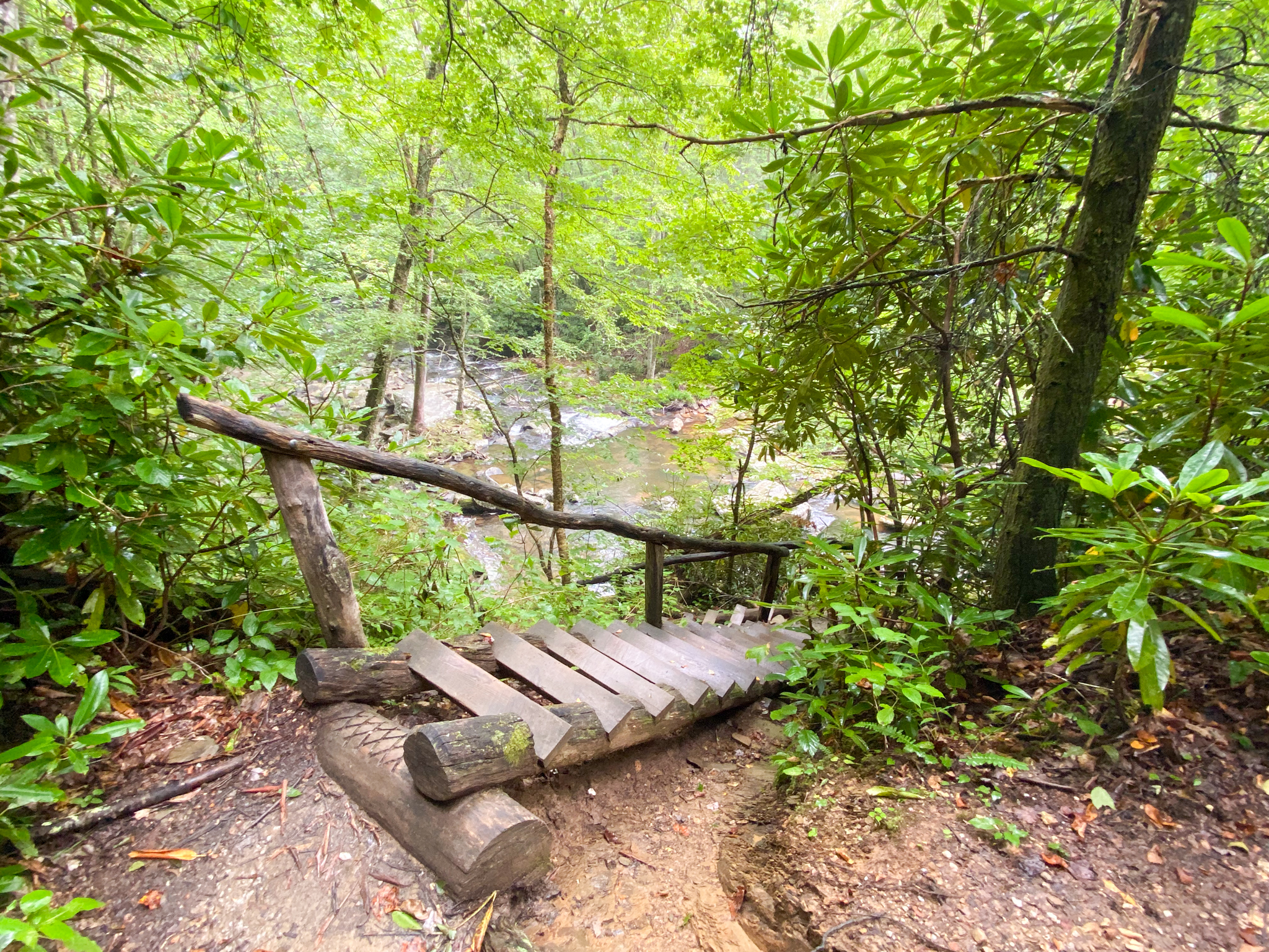
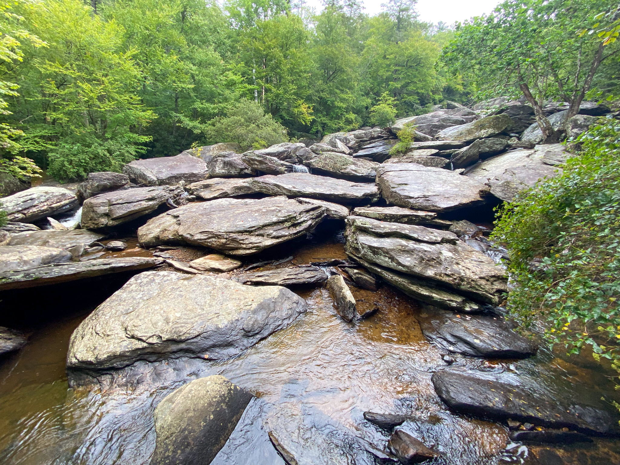
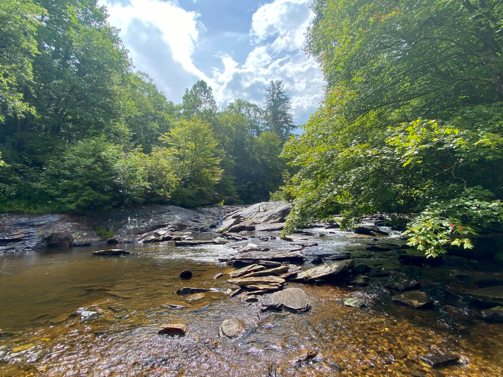
Boone Fork Trail is a 5 mile loop that starts and finishes at Price Park off of the Blue Ridge Parkway. The trail surface is very diverse, ranging from gravel to natural, roots sticking out, to slick rocks and mud. Due to this, hiking boots are highly recommended for this trail. Because the trail is so long it can take anywhere from 2.5 hours to 4 hours to complete based on pacing. It is good to plan ahead with plenty of water and snacks for a trail like this, and to make sure you start it early enough to make it back before dark. Hebron Falls is located off of this trail and is a very big draw. With falls rushing around boulders that stretch up the mountain, and a swimming hole at the top there is a lot to see. Hebron Falls is 1.5 miles into this 5 mile hike and a section you don’t want to miss.
Trail Length: 5 mile loop
Difficulty: Moderate to Strenuous
Surface: dirt and rock, some paved sections
Trail Use: hiking, leashed pets ok, waterfall
Blaze: Orange
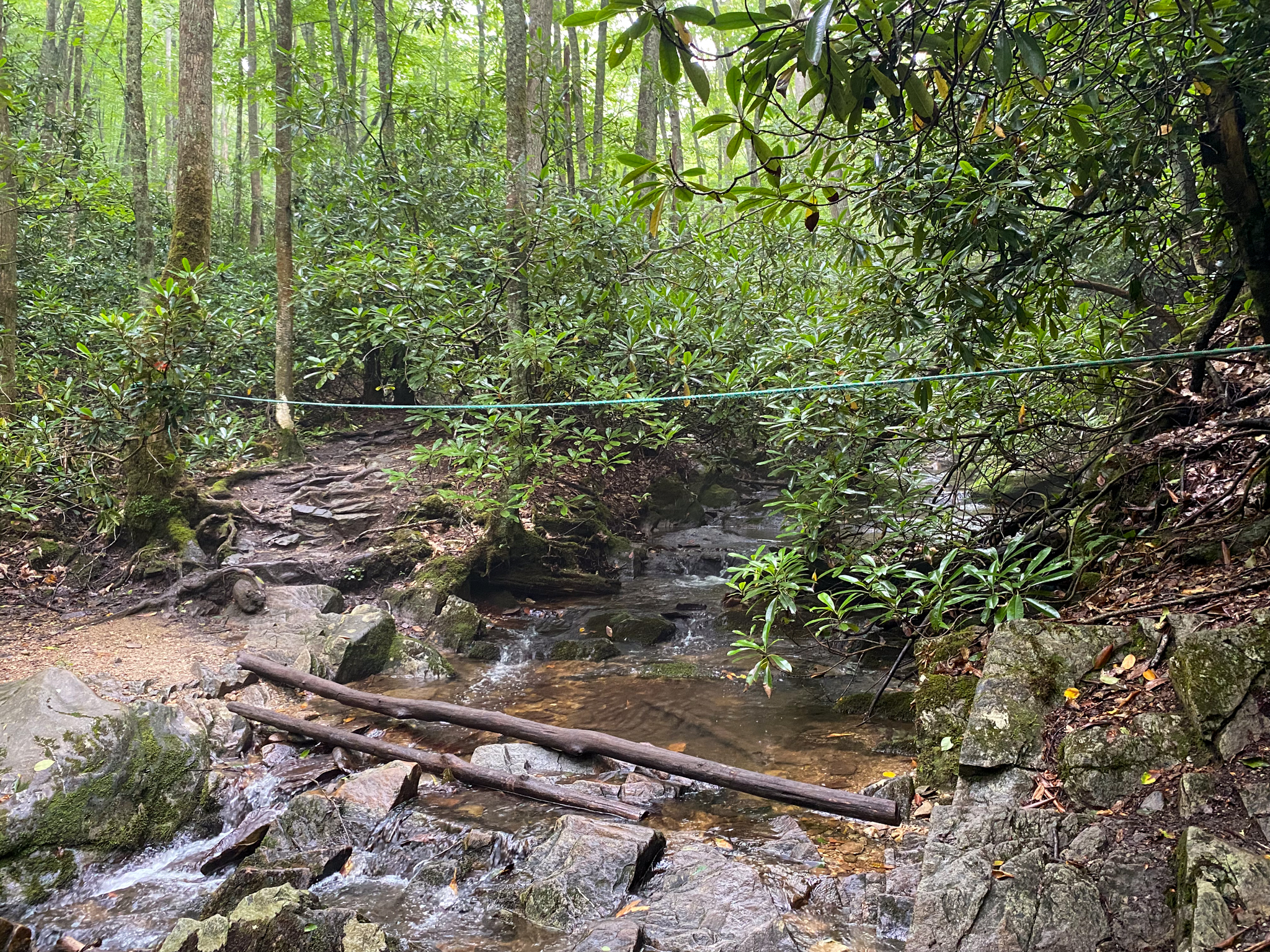
The hike is not particularly high in elevation gain, but includes some technical sections that require a bit of climbing. There are stairs to get over boulders, and ropes to help get across river crossings. It is important to be prepared for a trail like this so as not to be taken off guard. There are also places where other trails, Tanawha and Mountains to Sea, cross over this trail and can cause confusion. Make sure to follow the orange diamond blaze to ensure that you are taking the loop back to the parking area. There are portions of this trail that feel like just a relaxing walk in the woods, then there are others that require concentration and a certain amount of endurance. Boone Fork Trial offers plenty of beauty along the path, leading you by waterfall views, through rhododendron, open fields and across boulders. Not many hikes offer the same amount of diversity as this one, but make sure you come prepared!
Getting There:
It is approximately 6 minutes and 3.7 miles from Blowing Rock to Price Park. Take US-221 S/Yonahlossee Rd. and then the Blue Ridge Parkway. Park at the Price Park Picnic Area and and look for the trailhead furthest to the right. That way will take you around to Hebron Falls faster so that you can hike back out if you prefer or continue the 5 mile loop.